Originally posted by Hendo
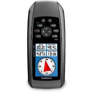
Islandbuilder: I'm in a 16' aluminum tiller style. I think I would like to start with a hand held. See how it goes.
I'm looking to perform the same task as Pescador has described. Just wondering if anyone has some advice as to good handhelds that will be easy to
use and accomplish those goals. |