Originally posted by wilderone
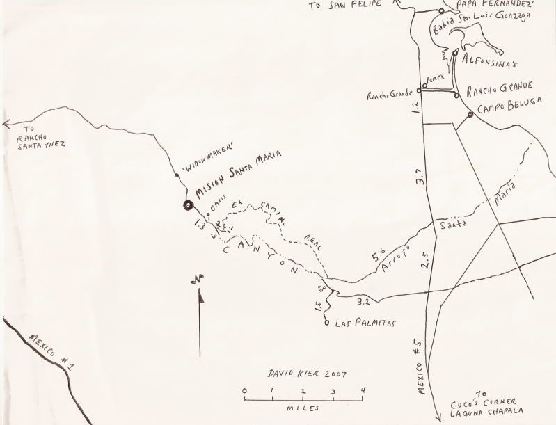
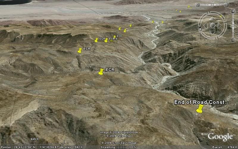
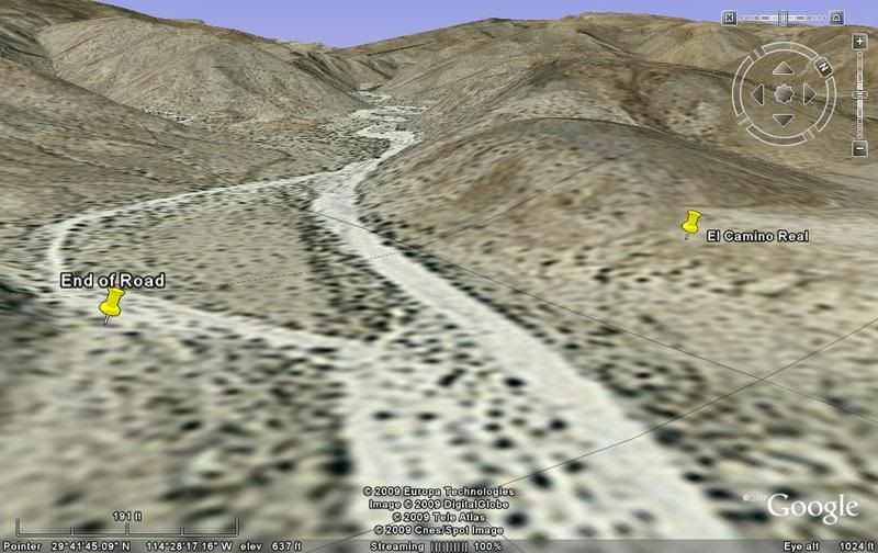
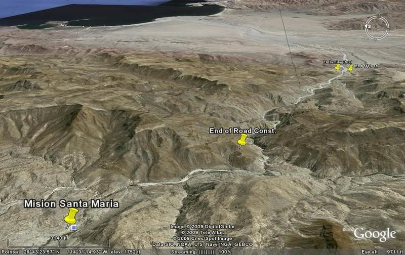
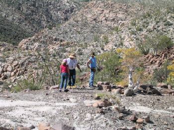
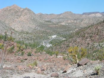
There are other pools (and stream), not difficult to get to, that are at the bottom of a hill about a mile as the crow flys from the mission. At the
wide arroyo abovementioned, turn right and look for the old grading up a hill on the other side of the arroyo. Go up the hill; there are petroglyphs
on the rocks at the top of the hill there. Then look down into the arroyo canyon and see the stream and pools of water. Study the hill where the
petroglyphs are - you'll start to see a pathway, marked with ducks. I added twice as many when I went down, so there should be enough to spot. Hike
down following these ducks which will provide the easiest way. |