
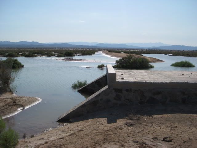
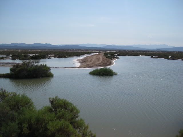
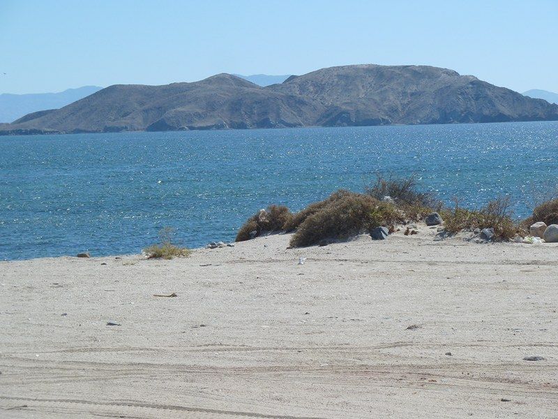
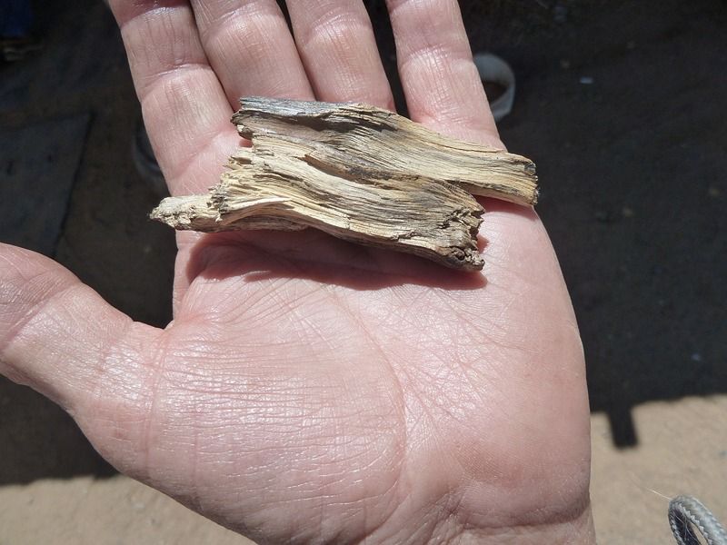
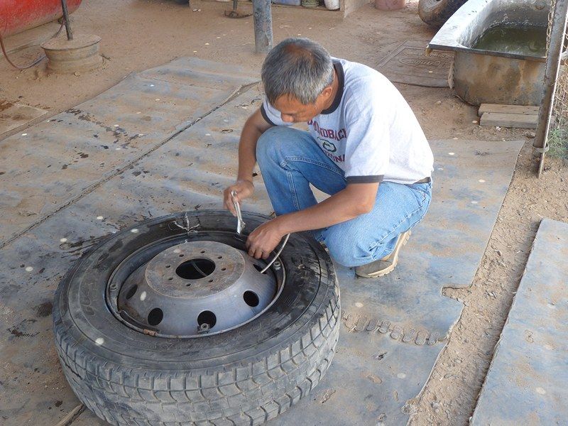
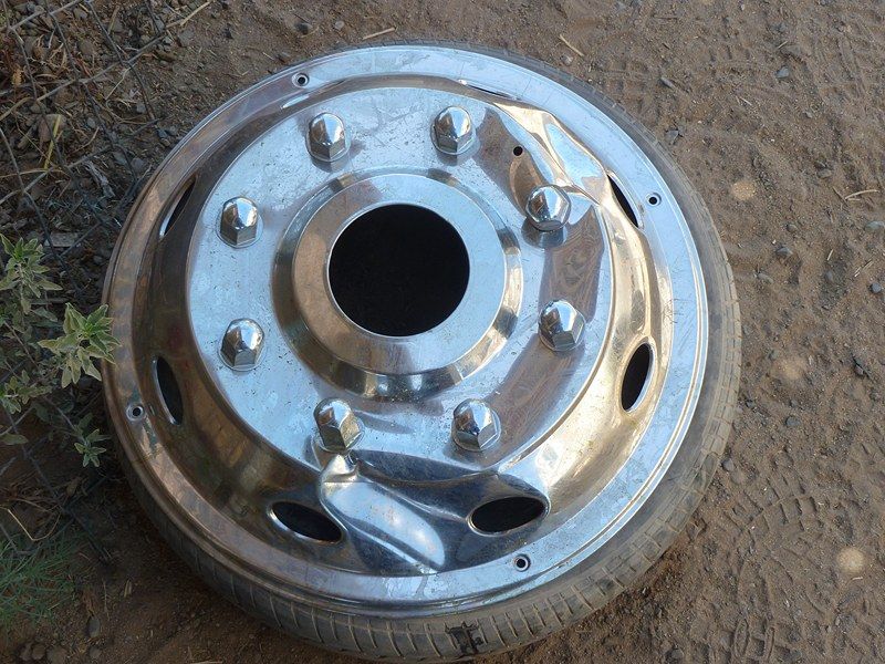
 We are thinking Shell Island this Memorial Weekend. If you have improved on the
tires for the new motorhome, you should make it!
We are thinking Shell Island this Memorial Weekend. If you have improved on the
tires for the new motorhome, you should make it!


| Quote: |
| Quote: |
| Quote: |
| Quote: |

| Quote: |
| Quote: |
| Quote: |
| Quote: |


| Quote: |

| Quote: |
| Quote: |
| Quote: |

| Quote: |
| Quote: |


| Quote: |
| Quote: |
| Quote: |
| Quote: |


| Quote: |


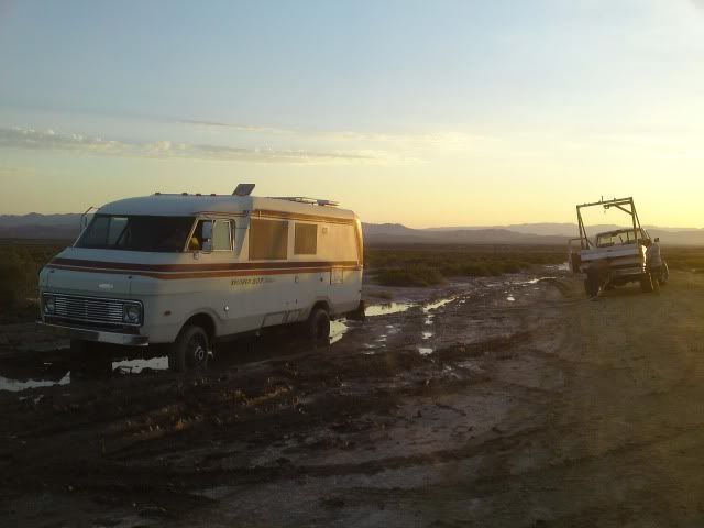
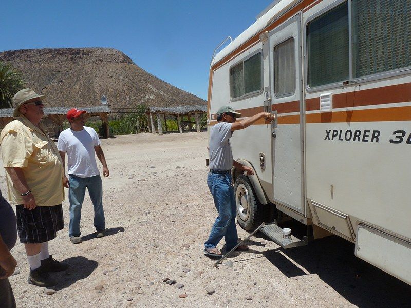
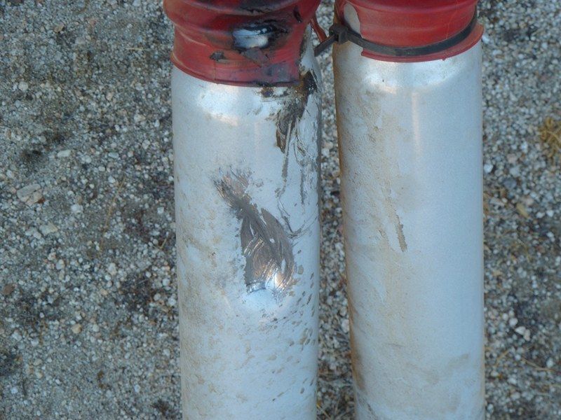
 . I am glad Art did not try with the motorhome, however!


| Quote: |

