Originally posted by David K
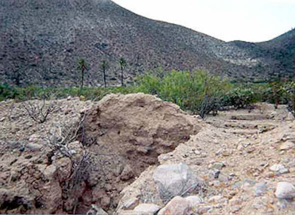
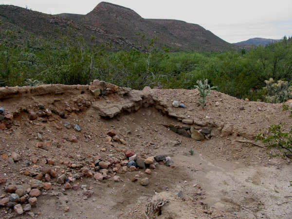
Would love to hear more Steve! I have also wanted to get back to San Juan de Dios... specially after the mission visita site there was bulldozed by
some farmer in or just before 2008. I camped by the other adobe were tracks go north across the arroyo towards Arroyo Grande, in 2002.
Sony Espinoza showed me the mission visita ruins in 2000, and I was under the impression it was all his family's land (just west of El Metate)... so
don't understand the destruction of an INAH recognized historic site when there is so much desert around.
How did you begin you climb of Matomi Mountain... from La Huertita, perhaps? |