Originally posted by bajabuddha
David, absolutely magical piece!! Thank you for sharing things that some of us will never get the chance to see....
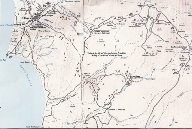
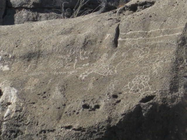
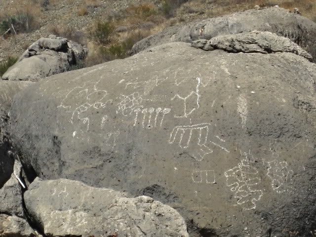
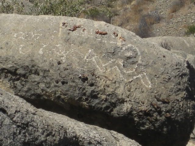
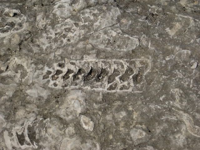
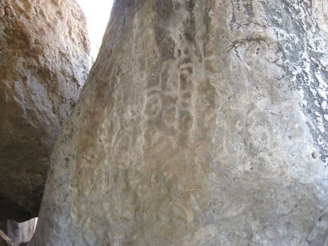
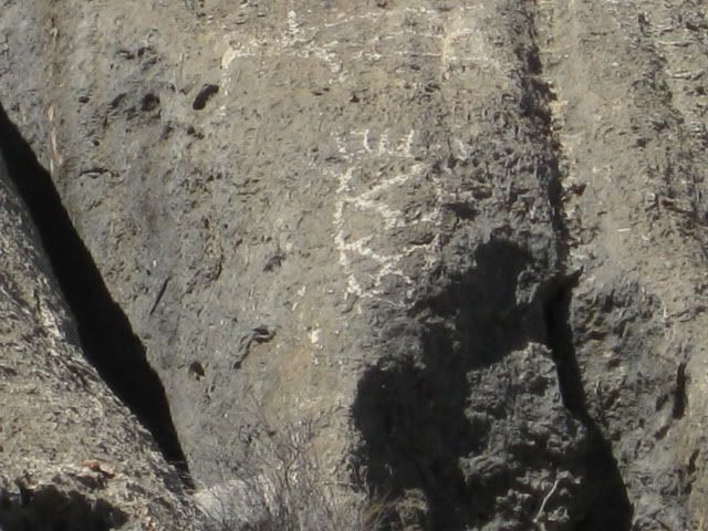
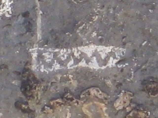
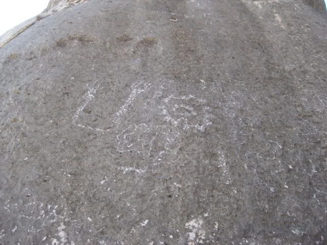
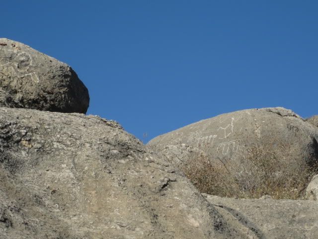
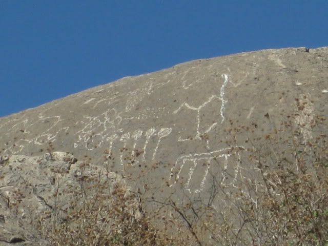
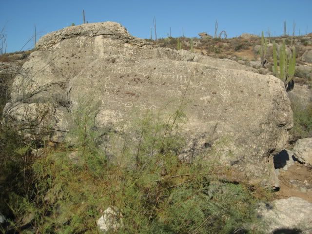
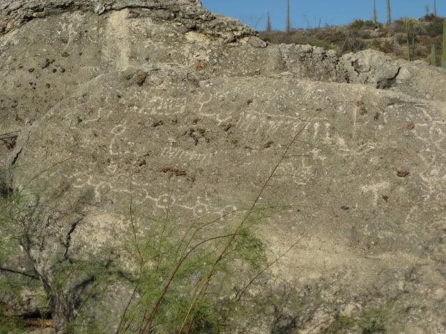
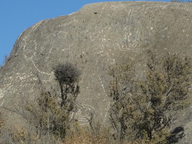
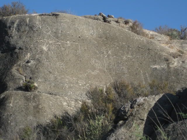
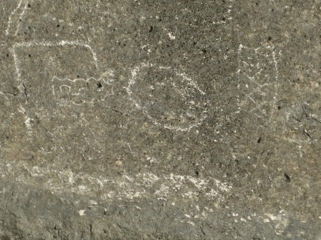
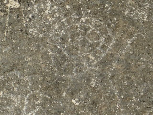
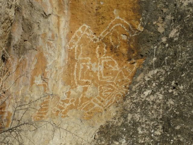
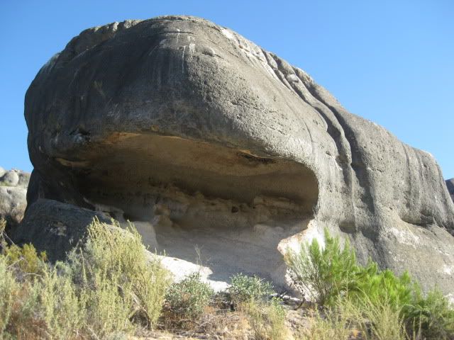
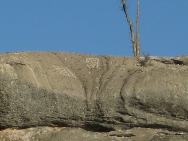
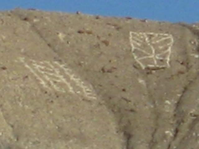
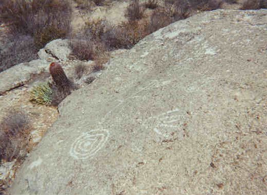
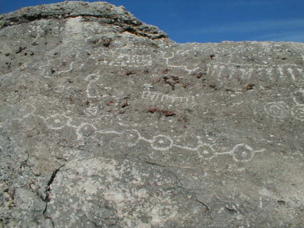
Having river guided for over 25 years on the Colorado Plateau I've looked at and studied hundreds, if not thousands of archaeological sites, working
with professionals in the field as well as geologists. It's a fascinating hobby, and still a very little-known science especially in Baja. Therefore
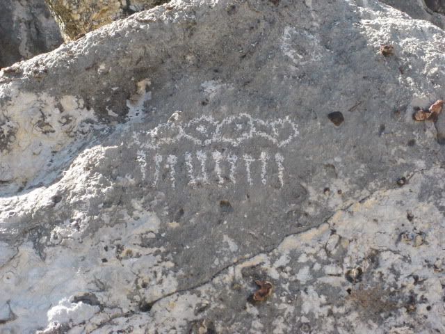
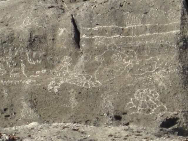
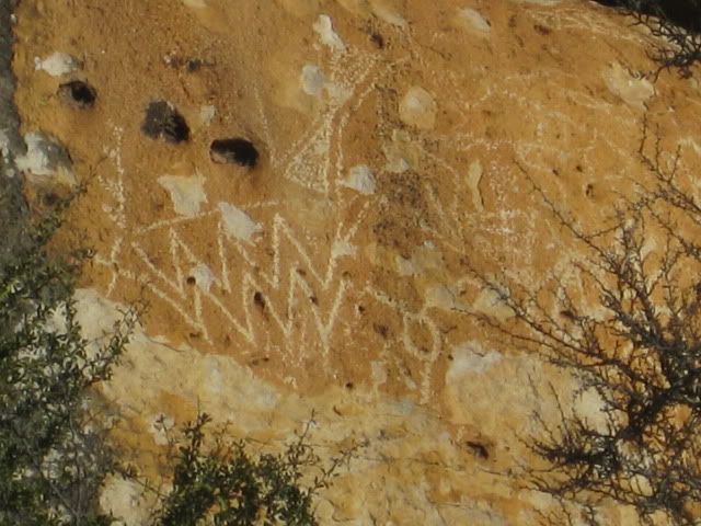
I urge all the readers to please, PLEASE remember when you find a 'treasure', it's not a SOUVENIER. If it ends up in your pocket, you are stealing
from your grandchildren's grandchildrens' experience. Also, put if you pick it up, put it back exactly where you find it; 'in situ' is critical to
future studies. Over the years I've seen hundreds of artifacts emerge from the soil, and then magically disappear over the course of months, weeks,
and sometimes days. I know it's tempting, but bad ju-ju.
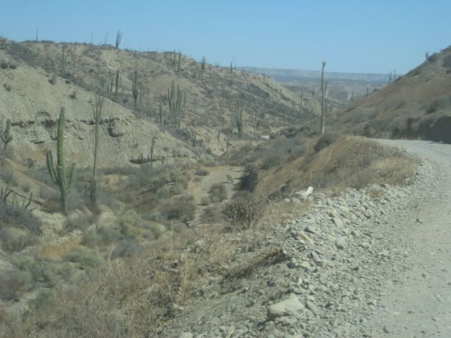
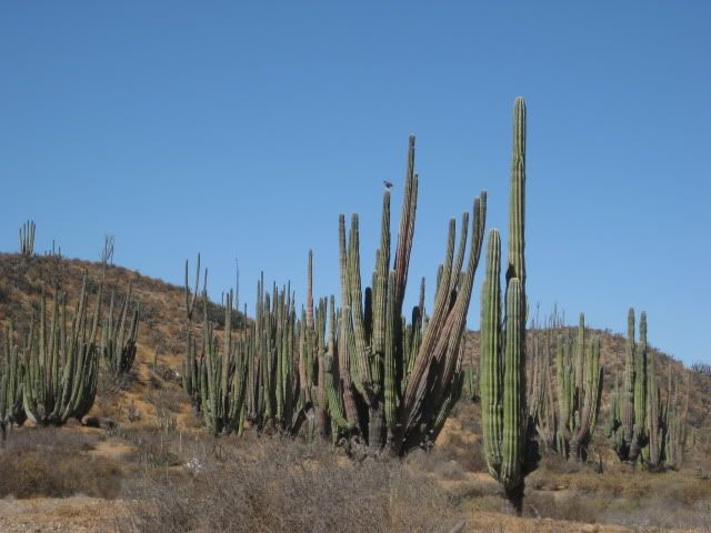
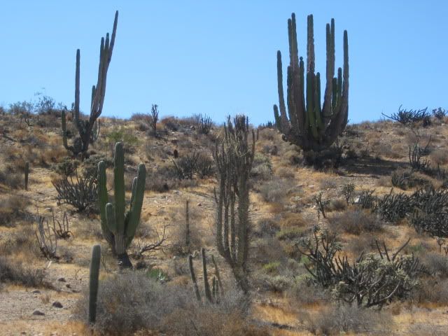
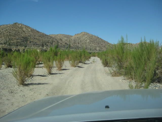
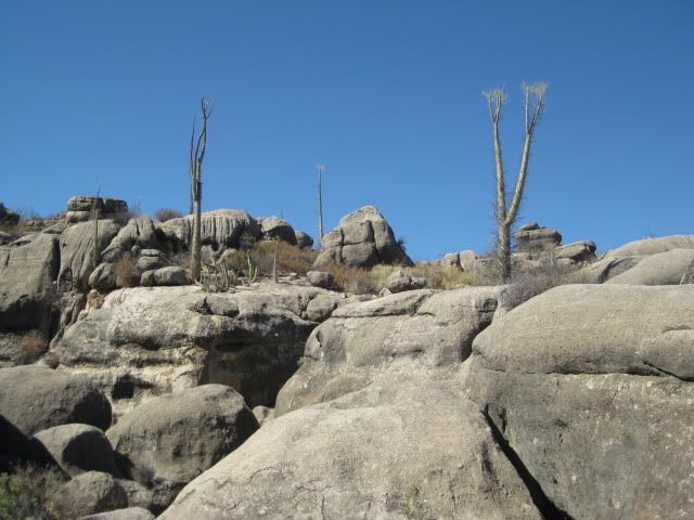
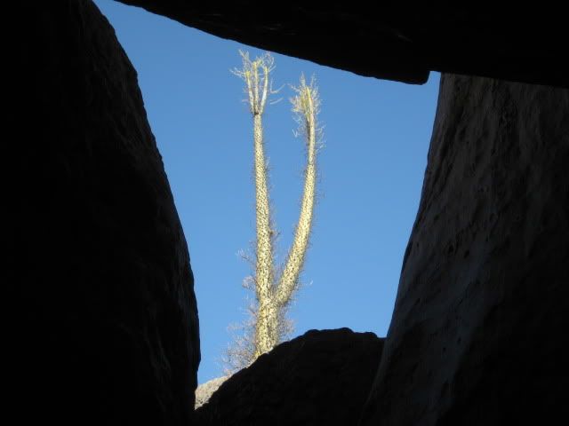
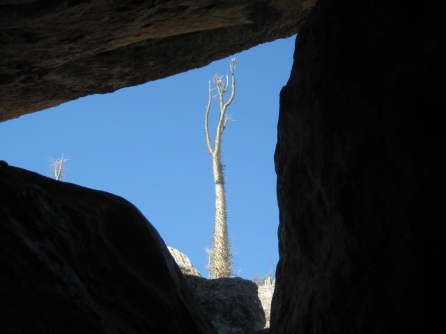
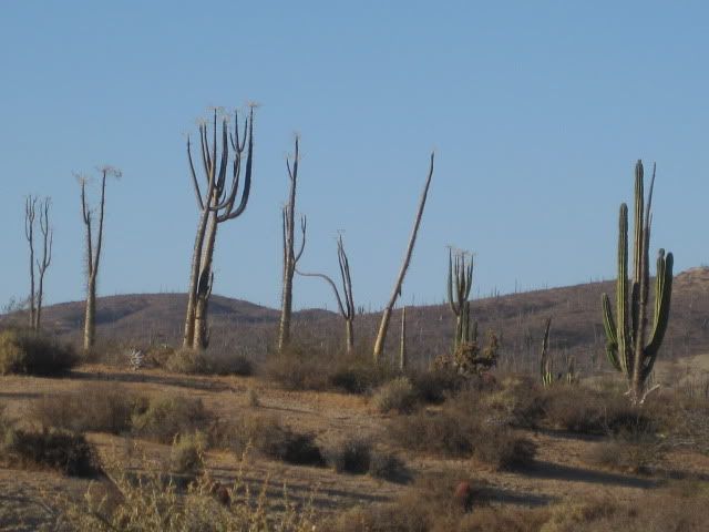
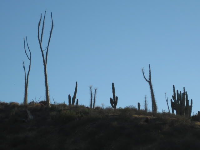
Not trying to lecture here, just educate. Go, enjoy, take nothing but pictures, leave nothing but footprints. One drive through Catavina is enough
to tell the reason why.
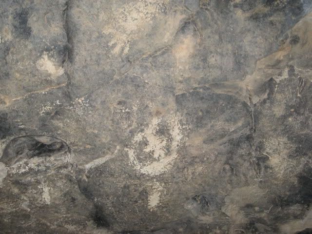
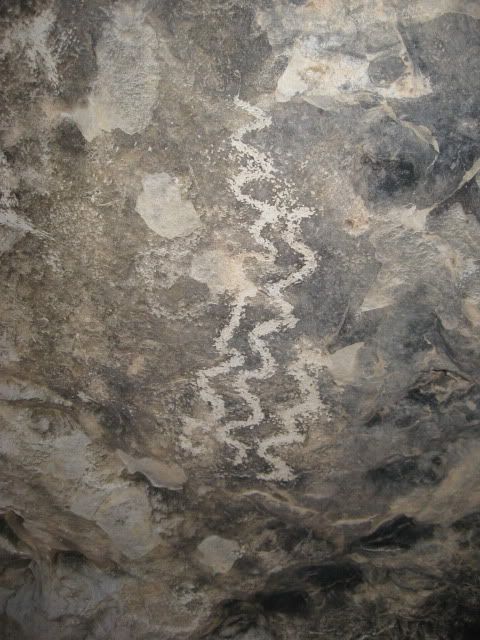
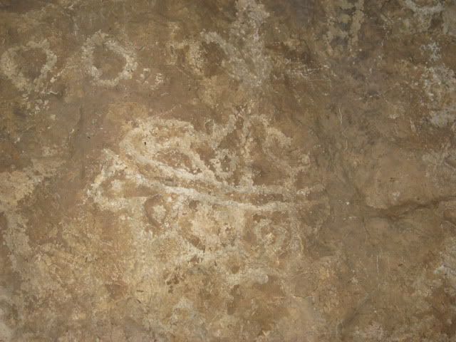
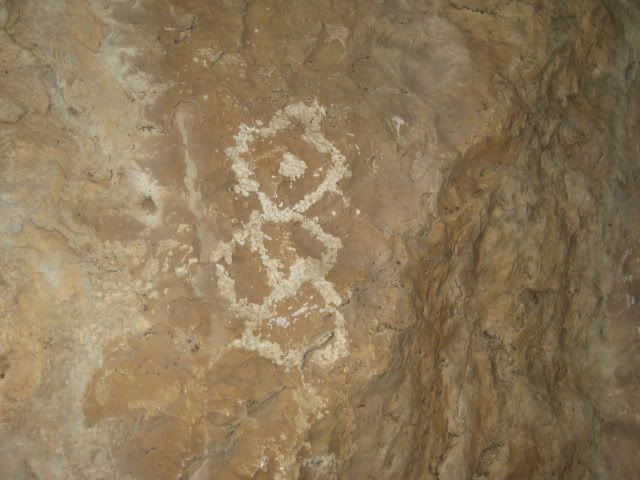
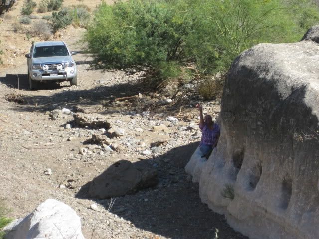
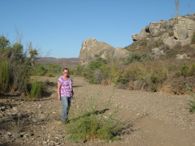
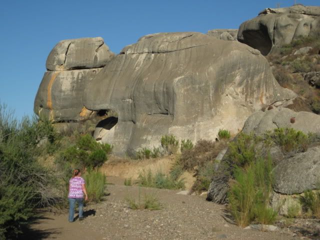
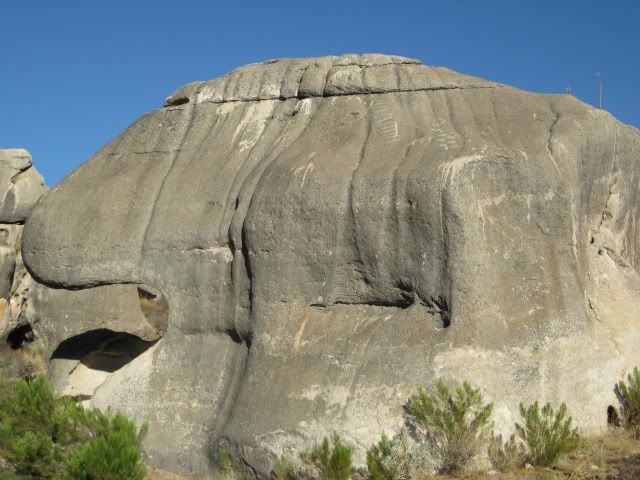
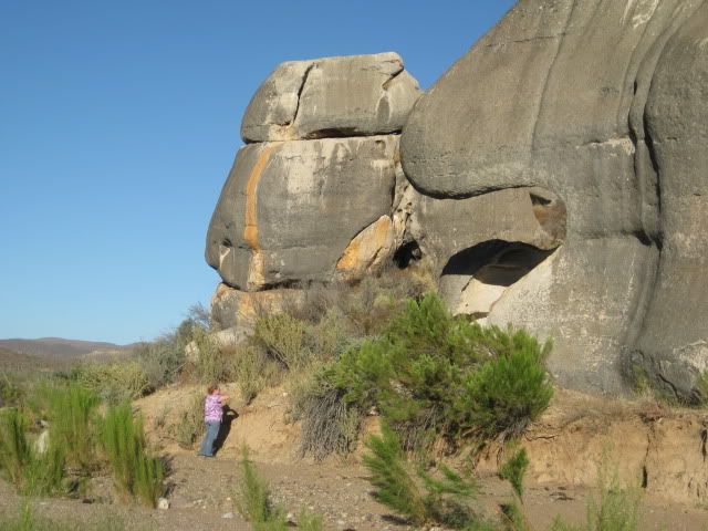
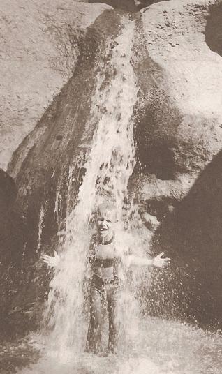
Thanks again for the marvelous photos, i'm spending a lot of time perusing them over and over. I just love that 'dead indian' stuff (said lovingly).
bb |