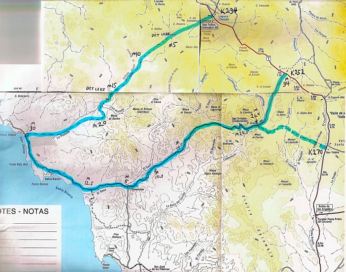
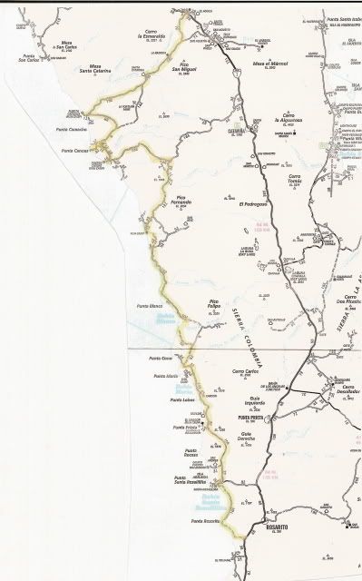
Here's the TW Loop route (the road from Laguna Chapala to the Pacific is not on any published maps, yet):

The M numbers are the Mileages (every 5 mostly) from Chapala to the coast; then the mileage to the second road back to Hwy. 1; then the mileages from
that point near the coast back to Hwy. 1.
In 2007, we drove the coast road using this route... it is a nice example of what traveling down Baja was before Hwy. 1... specially on the non-graded
sections...

[Edited on 10-25-2014 by David K] |


