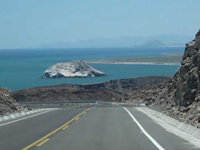
Yes. We drove it last week. The paved road to Gonzaga is great and I think it goes past Gonzaga for another 10.5 miles until meeting semi-rocky,
sometime washboard conditions. Saw tons of all types of vehicles driving it. The dirt portions are in OK condition. Not great, but not horrible.
Feel free to U2U me.Tioloco - 1-4-2015 at 07:49 PM
Pavement was 10.5 miles from Cocos corner last weekend.David K - 1-4-2015 at 08:33 PM
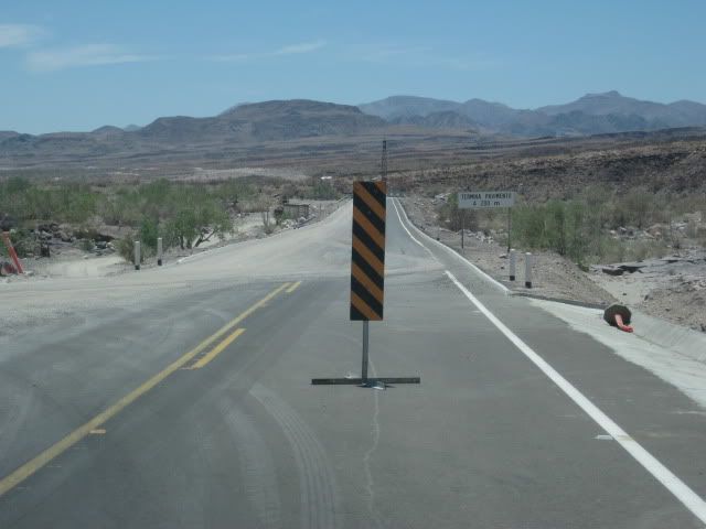
Got a text tonight from Mando that new pavement now extends 7 kms. (4.2 miles) south of Santa Maria bridge... which is approx. 5.5 miles south of the
Gonzaga Pemex (Rancho Grande/ Alfonsina's Rd.), so just over 10 miles from Pemex, leaving about 25 unpaved to Hwy. 1 (Coco's is 13 mi. from Hwy. 1).BajaDanD - 1-4-2015 at 10:15 PM
maybe it might be finished by March bajabuddha - 1-4-2015 at 10:32 PM
Rumors said they were going to pave a different route (new cut?) from Coco's area to the highway rather than follow the old road up the steep canyon.
Is that true, or typical horse-hockey? Any survey stakes up the grades? chuckie - 1-5-2015 at 03:43 AM
that's what an official looking guy told me when I came up in May...new path to hiway 1Marc - 1-5-2015 at 07:30 AM
Considering the rate they are going....another five years???BajaUtah - 1-5-2015 at 11:06 AM
I drove it southbound on 12/21/14. I was driving an older F350 pulling a loaded 16' utility trailer.
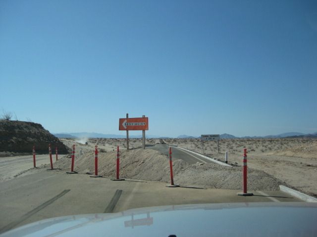
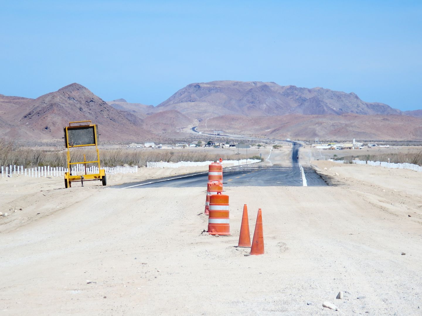
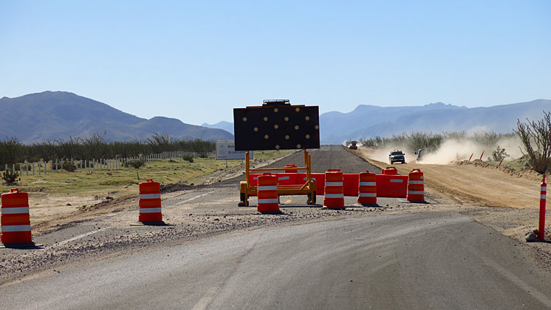
As reported, the latest paving project is finished to about 10 miles from Coco's. I saw no signs of new stakes or other work for continuing the route.
It was a slow, rough crawl, solid 2 hours to Hwy 1. I measured 24 unpaved miles. I have a few new loose fillings but truck and trailer were fine.
Left San Felipe at about 12:30. Hit Highway 1 at about 5/5:30. Another 2 1/2 hours to G Negrorts551 - 1-5-2015 at 11:21 AM
you did good time then.. 4 1/2 to 5 hours to Chapala. Pulling my trailer I can do it in 6. slow over the dirt and rocks....big rocks.David K - 1-5-2015 at 11:39 AM
From TW, Mar., 2014: 2 miles south of Pemex. (46 mi. from Puertecitos). Photo from Mando, looking north to Pemex from end of pavement:
[1 year and 8 months added 15 miles.]
you did good time then.. 4 1/2 to 5 hours to Chapala. Pulling my trailer I can do it in 6. slow over the dirt and rocks....big rocks.
Yea, I've been accused of having a large right foot. I was actually accused of this by a Mexicali cop this same day just after the border cross. My
playing dumb gringo and willingness to head for the station vs offering cash lead him to wish me a happy Christmas and head off for easier prey.TMW - 1-5-2015 at 12:43 PM
Oh Nuts. I was hoping it would be paved before we head down next week. StuckSucks - 1-5-2015 at 04:07 PM
Rumors said they were going to pave a different route (new cut?) from Coco's area to the highway rather than follow the old road up the steep canyon.
Is that true, or typical horse-hockey? Any survey stakes up the grades?
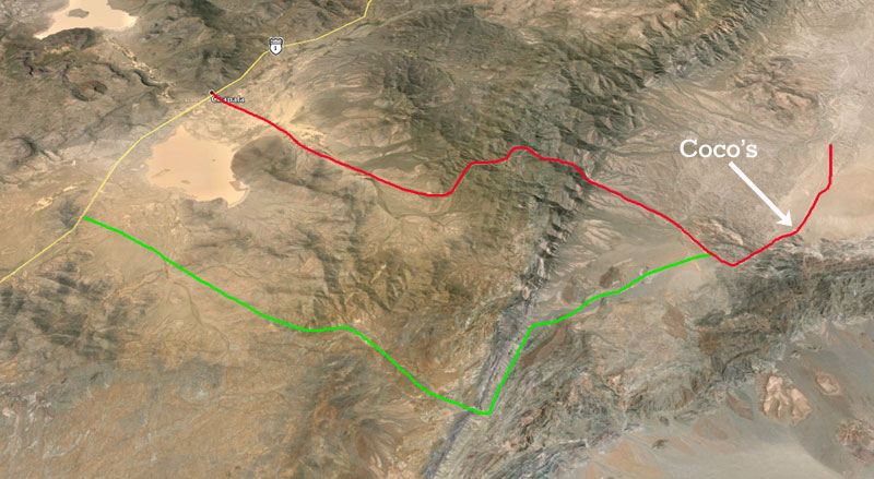
Interesting thought. I flew around the area with Google Earth, and it appears there's another, maybe smaller pass ~10 miles to the south of the
current Highway 5 alignment.
This is looking NW - red is the current Highway 5 alignment, green is my dos centavos. For southbound highways 5 to 1 traffic, this kind of makes
sense.
bajabuddha - 1-5-2015 at 04:23 PM
Great shot! TMW - 1-5-2015 at 04:44 PM
Coco and others have said the hwy would go to the west of Cocos place.
rts551 - 1-5-2015 at 06:07 PM
Maybe best to start a history thread so we can keep this one on CURRENT conditions. Some of us take this road quiet often and appreciate the
updates.chuckie - 1-5-2015 at 06:23 PM
Bravo!liknbaja127 - 1-5-2015 at 07:41 PM
Was there over the holidays, Can't believe how far it is gone! David K got the mileage right. Where the black top ends not very far to Cocos.
The road from there is not to bad! lots of rocks to dodge around! But the BFG's did great! Talking to Coco, he said he did not want the road.
He said they were going to have to move his camp to the east? I think.
said he would not sign the papers!! He seemed in good spirits, Said they are going to start back up on the road soon! Also ran in to some crazy
bicyclists, Going out to hwy 1! and not on mountain bikes!
Have a great trip Tioloco - 1-5-2015 at 08:10 PM
Ran into those bicyclists in Puertecitos just after Xmas. Looked like they were going to have their hands full.
Freezing
El Vergel - 1-5-2015 at 08:25 PM
Greetings and Happy New Year to All,
I didn't get too far south on Hwy 5, but driving North from Km 35 on New Year's Day I found it to be about 25 degrees F. Coldest I've ever seen!!!
Best to All, stay safe and warm! David K - 1-6-2015 at 08:50 AM
Wow... that is cold! I have seen snow on the mountain just west of San Felipe (Cerro Kino?), and that is low, for the desert side. chuckie - 1-6-2015 at 08:52 AM
Coco and others have said the hwy would go to the west of Cocos place.
We stopped by Coco's Saturday morning to chat and buy some Pacificos on our way back up and he said the road would go to the West of him, so your map
looks right. He also mentioned it was so cold he had to put his hands in his burro
He seemed to be doing well but mentioned someone stole most of his vehicles and almost everyrthing else, not the books though...! I'm out of the loop
and didn't catch exactly when this happened...really sucks though. He said he's never going to leave his place again.
[Edited on 1-6-2015 by BajaBreak]David K - 1-6-2015 at 03:24 PM
Since Coco's was built on the 'corner' (of graded roads to Puerto Calamajue and Gonzaga Bay), they will be likely grading an approx. 1 mile road from
the new highway route (which is over the old Chapala/ Las Arrastras) to Coco's Corner for Calamajue traffic.David K - 1-12-2015 at 11:49 AM