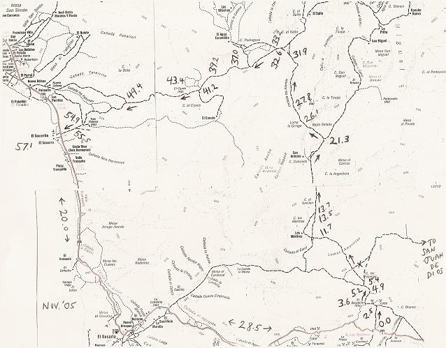
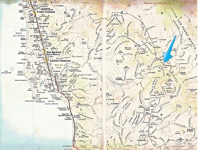
| David we have been exploring new routes from San Quintin to El Rosario.For over 5 years.We have new route,not on any map we have.All the routes East
side Highway 1.If you leave SQ going south pavement 1 you get to point where old paved road meets new.Past last bridge from SQ.Right where they meet
we go Lt East.Take dirt road back about 50 miles east.Road then ends at our freinds rancho She is Daniel Arce .If you go south many roads go to El
Rosario.She told us there is old road Out her rancho going south to Vicente Guerro.Anyway you could find any routes,on your maps.Because we will
already be into ride over 50 miles.We will not have room for,out of gas,or daylight.As we are sure there will be many,roads that Y off to dead ends.To
use up our fuel,and daylight.Thanks for any help David.We will head out OCT 30. Five bikes,big tanks,carry two spare gal gas. |