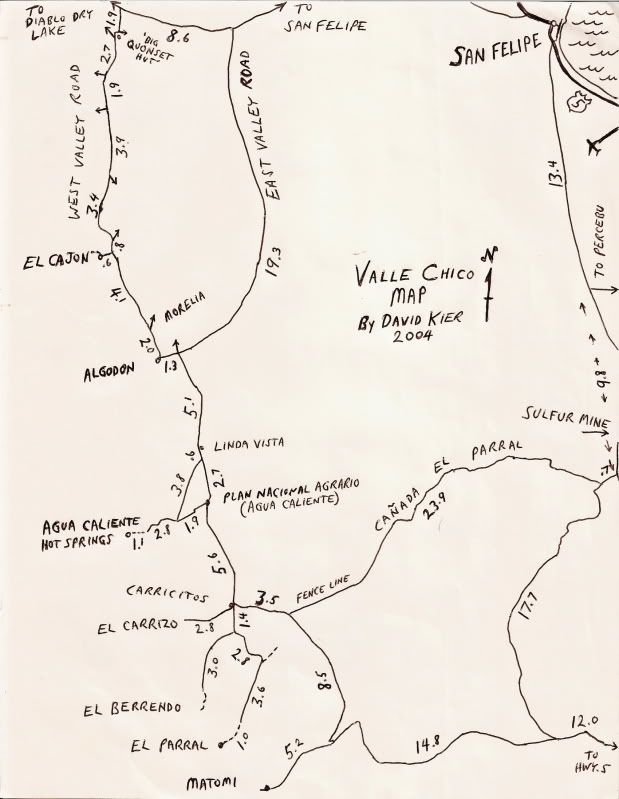
Quote: Originally posted by PaulW  | Best way to go is Morelia road to valley Chico then enter Matomi and head up the canyon.
Up hill in Matomi is an issue. Down hill like the racers is much easier. |
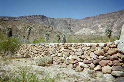
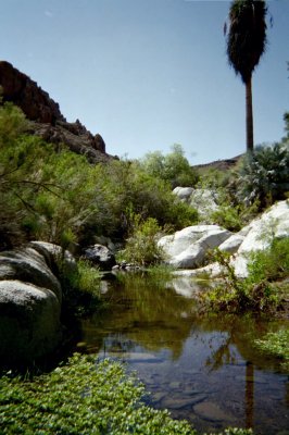
Paul-------there use to be an easy way into Valle Chico about 10 miles north of the Matomi Narrows. It went west from the El Apache Mine up and over
the Sierra San Felipe via Parral Canyon and into the south end of Valle Chico. It was also called "Azufre" and "Crazy Horse" by some, I think. It
shows on the Baja Atlas as a trail, but it was actually a fine jeep-track with no problems. Is that jeep-track still open, do you know?
|


 When are you planning this run?