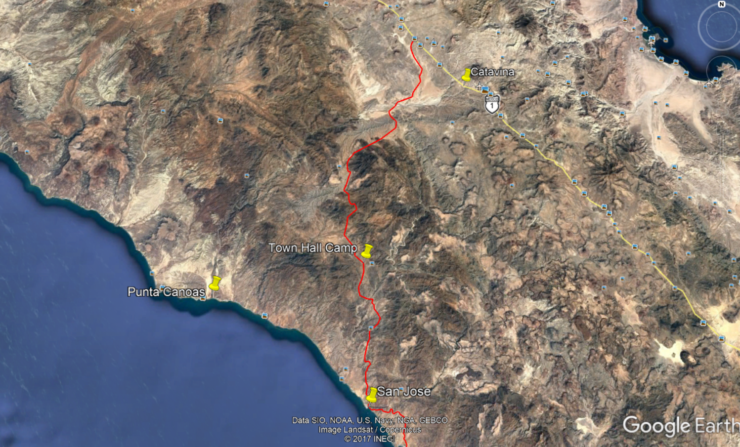
| If you happen to go to Catarina first there is an old 4x4 trail over to to the road to Canoas. However if you take it beware of a 20 foot drop off
into the wash shown on the map above. There is a detour about a 100 yards before the wash with an easy drive down into the wash. Look ahead and if you
don't see the road stop and get out. |