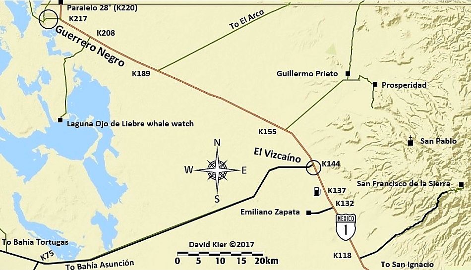
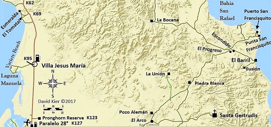
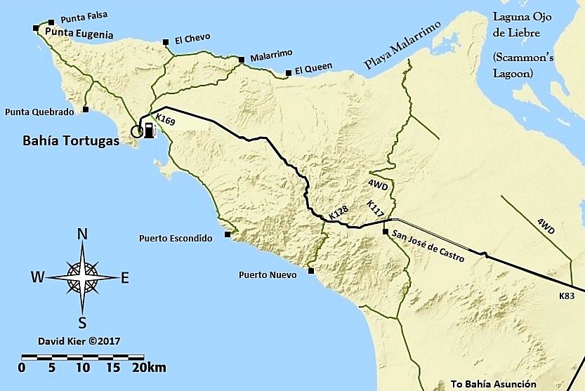
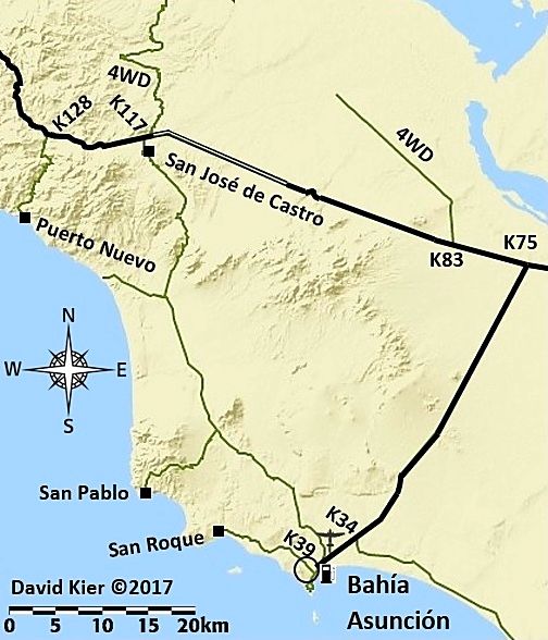
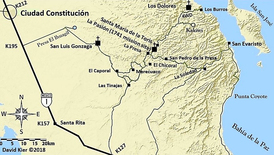
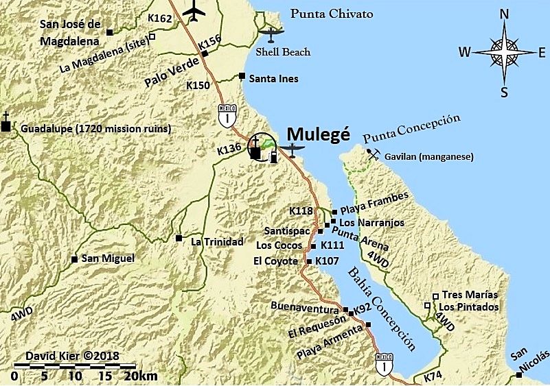
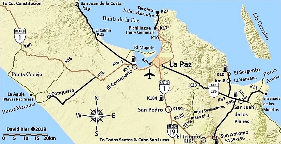
DK,
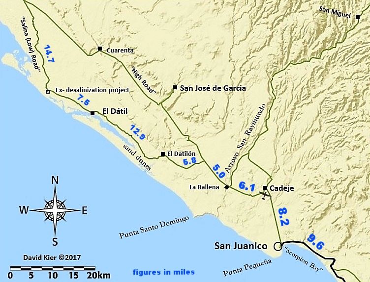
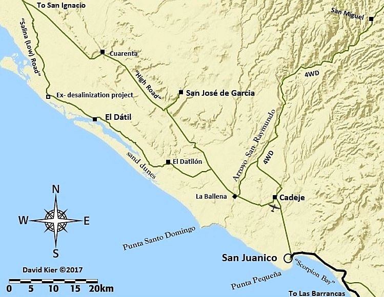
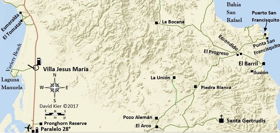
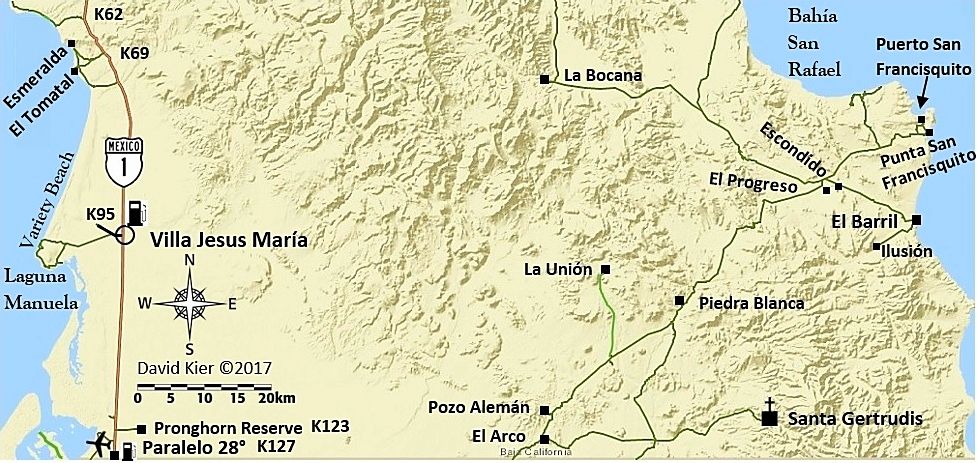
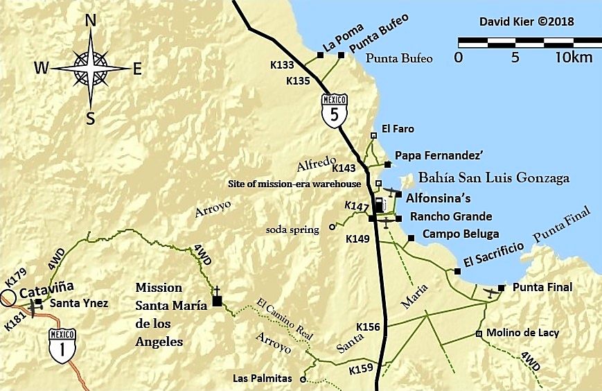
Does your road guide have info on road conditions such as high clearance, sand, etc? I have traveled most of your "little green lines" (as it is my
passion as well) and know maps are just a place to start with being prepared.
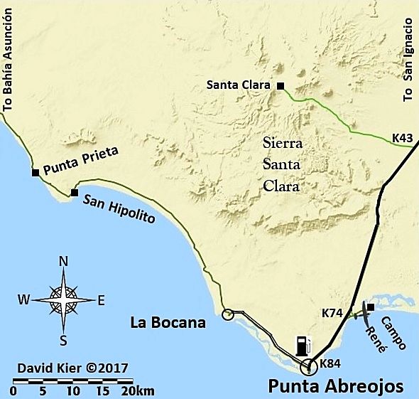
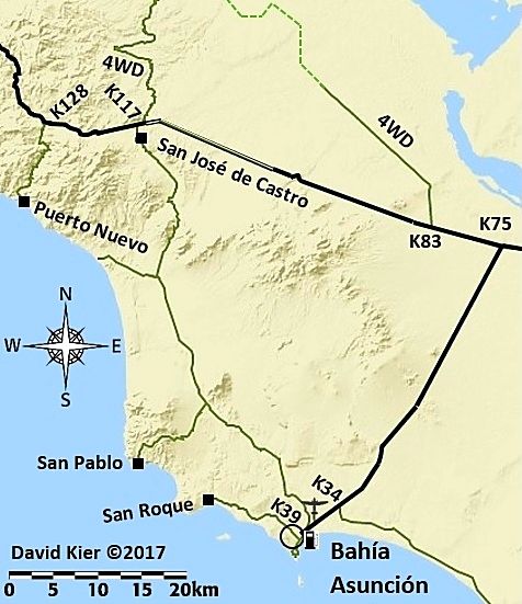
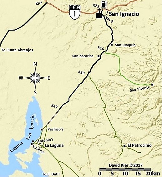
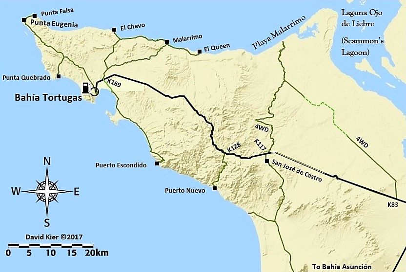
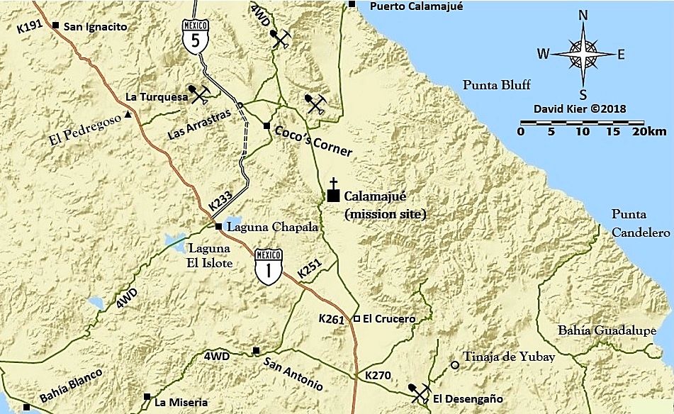
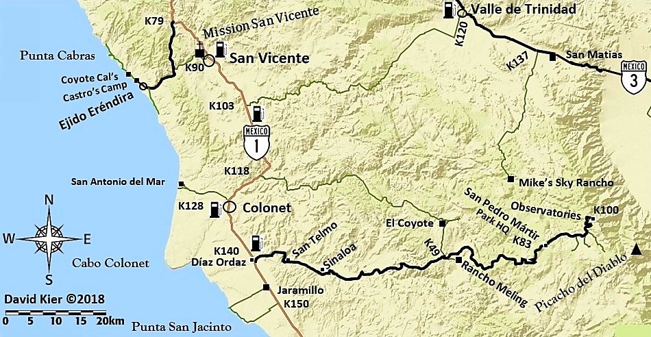
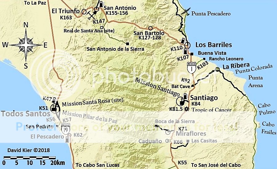
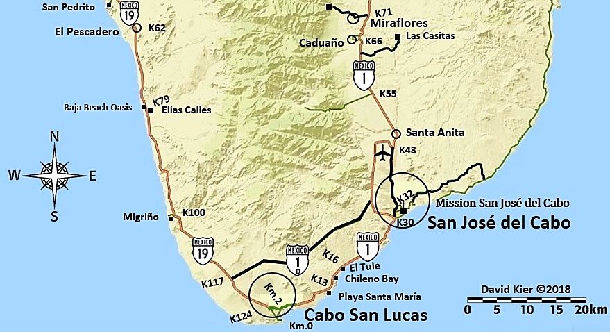
My concern is that these maps will wind up as screen dump printouts in rental cars, and maps can't show all the data for a green line adventure.
Maybe more dashed green lines would help where there are rough steep passes or lots of washouts like on the middle "road" east of the El Datil Salina
road. Bailout info is hard-won, not sure how to show that, maybe in your guide. The green lines in my locale have taken another beating from storms
and have even more rocks and ruts than last season.
I still see travelers in the interior with nothing more than AAA map and they were having a good time/came out alive.
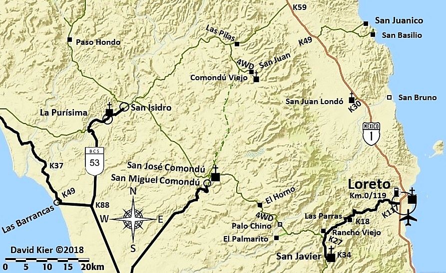
Last month I ran copy of the Almanac for two bicycle riders who had no idea of the topography ahead, only a waypoint list and something on a solar
powered GPS. They were asking me if they could find water to filter in the Comondus routes.
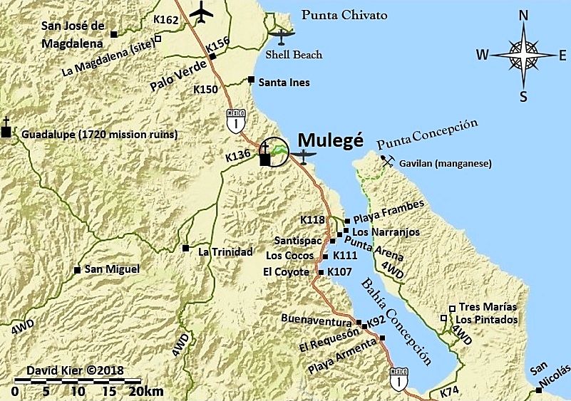
Nice maps, keep them coming, thanks! |


