BajaNomad

Game: Roads in Baja: Guess where!

David K - 12-26-2018 at 05:33 PM

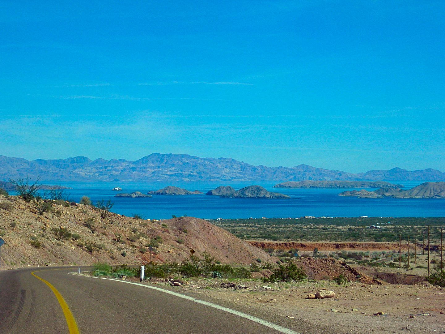
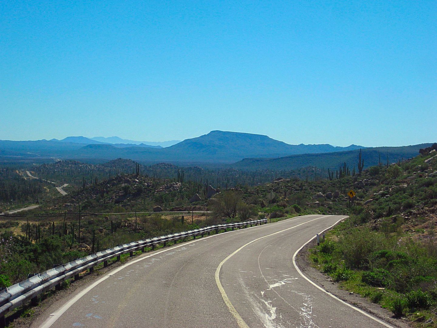
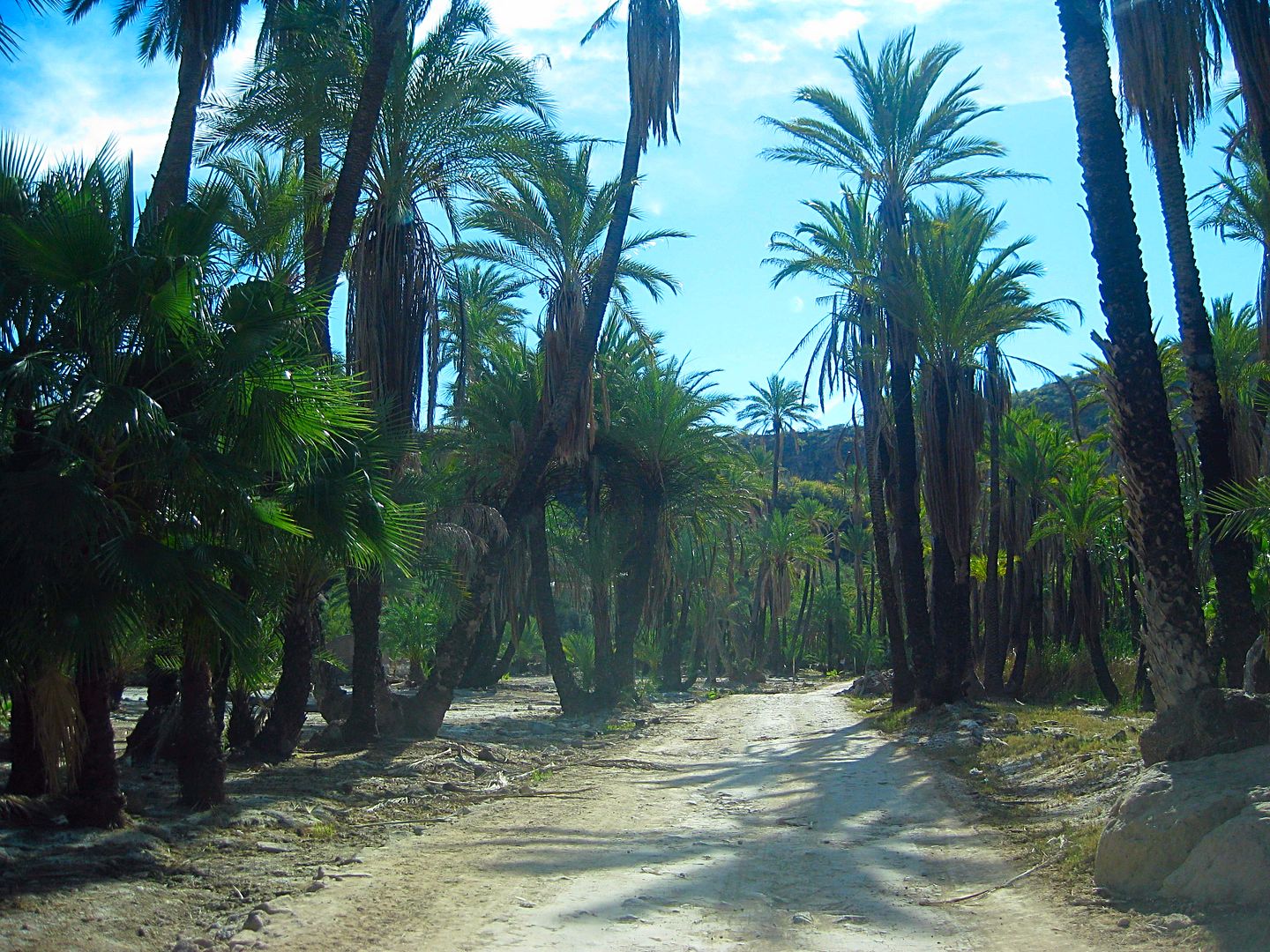
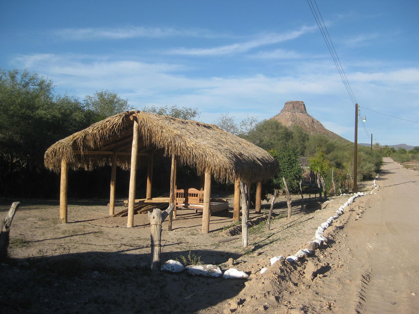
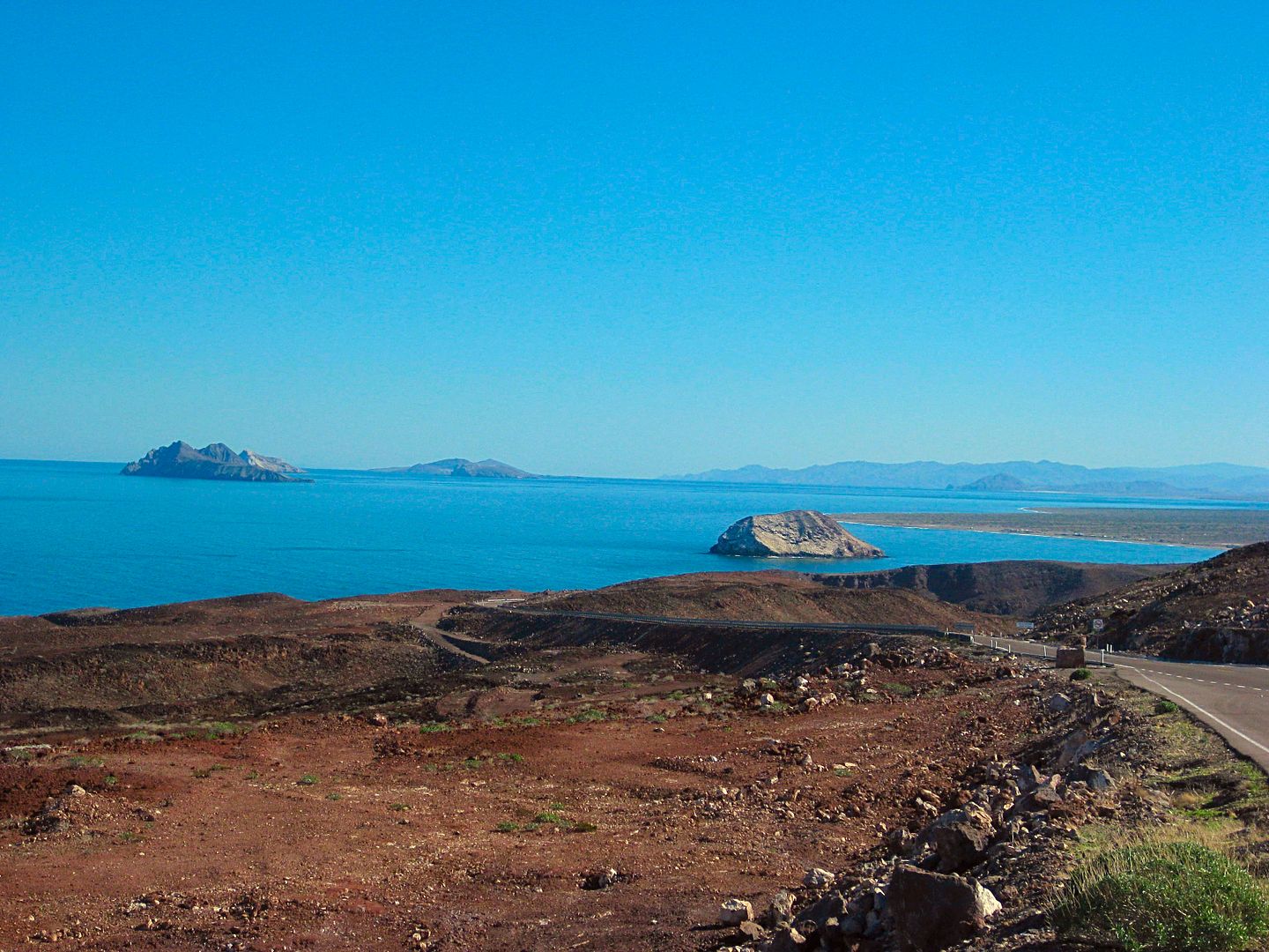
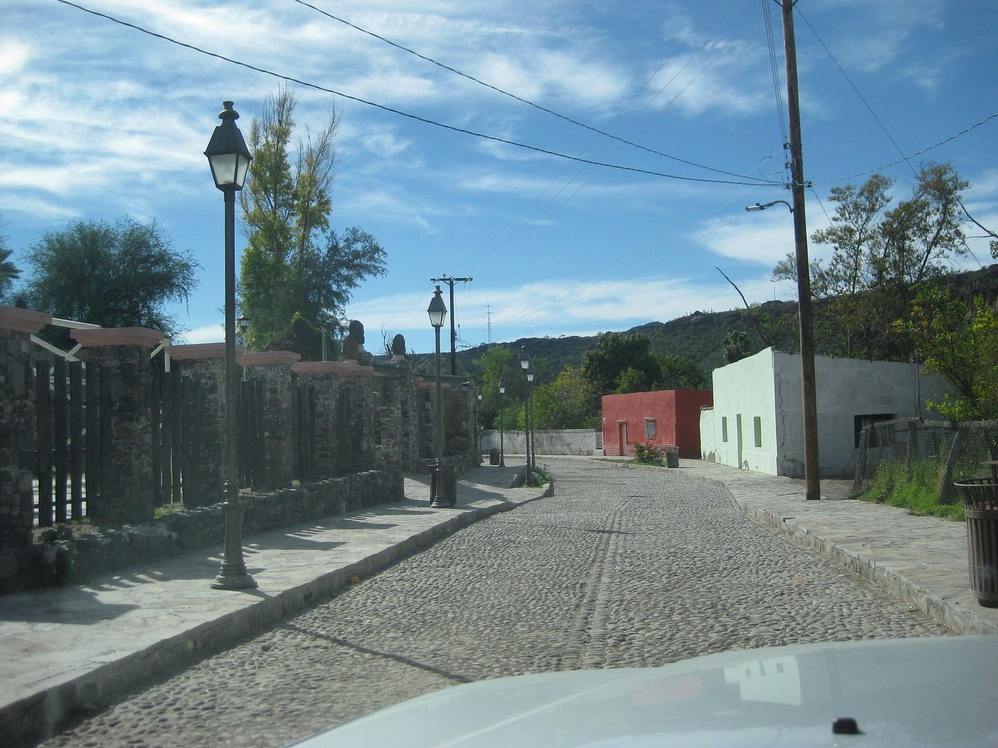
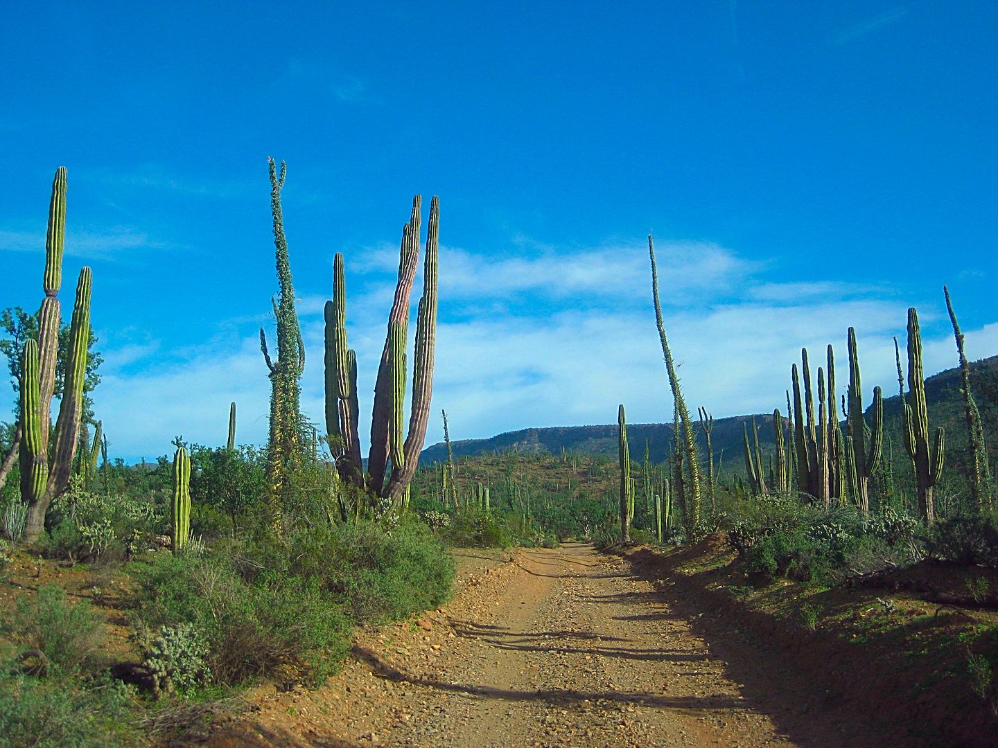
Just some of the scenes along dirt and paved roads in Baja... numbered if you want to guess at or answer any! A few are easy, and a few may need hints...

1)

2)

3)

4)

5)

6)

7)

8)

bajabuddha - 12-26-2018 at 05:45 PM

5) easy peasy, La Purisima

David K - 12-26-2018 at 06:20 PM

Yes, and surely you could answer more! Thank you for playing!

AKgringo - 12-26-2018 at 06:35 PM

#4; Looks like the burnt palms near San Miguel de Comondu

[Edited on 12-27-2018 by AKgringo]

David K - 12-26-2018 at 10:06 PM

You are good!
Yes, this is the road between San Miguel Comondú and San Jose Comondú.

Rossman - 12-27-2018 at 04:16 AM

Just one that I'm sure about but a couple more that I can guess at.

1. Possibly the road between El Arco and San Francisquito.

3. Two guesses Mex 1 South after the climb out of El Rosario near Hector's shrine, or Mex 1 South, after the climb out of Laguna Chapala.

6. Mex 5 turnout between Puertecitos and Punta Bufeo.

Nice photos

ehall - 12-27-2018 at 05:01 AM

#2 BOLA. I got the same picture.

David K - 12-27-2018 at 09:30 AM

Quote: Originally posted by Rossman  
Just one that I'm sure about but a couple more that I can guess at.

1. Possibly the road between El Arco and San Francisquito.

3. Two guesses Mex 1 South after the climb out of El Rosario near Hector's shrine, or Mex 1 South, after the climb out of Laguna Chapala.

6. Mex 5 turnout between Puertecitos and Punta Bufeo.

Nice photos


Thank you and thanks for playing!

#1 is an unimproved (two-track) road. The El Arco-San Francisquito road is a wide, two-lane, graded road. HINT: Not far from L.A. Bay and is a dead-end road.

#3 is your second guess, named El Portezuelo, Km. 243, elev. 2,440' (the peninsular divide) about 5 miles south of Laguna Chapala 'village'.

#6 is correct, more exactly the view parking at Km. 99, north of El Huerfanito.

David K - 12-27-2018 at 09:34 AM

Quote: Originally posted by ehall  
#2 BOLA. I got the same picture.


CORRECT!

So, that leaves #1, #7, and #8 unanswered with hints provided for #1 because an answer was attempted.

David K - 12-29-2018 at 04:18 PM

Some more guesses for 1, 7, 8 ???

HINTS:
#1 goes to a pictograph site. Previous hint: " Not far from L.A. Bay and is a dead-end road."

#7 An old Spanish mission town in Baja Ca Sur, less than 3 miles from a paved highway.

#8 A Baja (Norte) road, one of two to an old mission site and both are about the same length from a paved road.

thebajarunner - 12-29-2018 at 04:48 PM

1 looks like the short track off the San Borja road to the pictographs

7 looks like the road into San Ignacio town

8 looks like the road out of EL Progreso to the San Fernando Velicata mission ruins

(been on all of those in the last six months)

David K - 12-29-2018 at 05:05 PM

#1 OK, I can give to you, it is the road to Montevideo, the pictograph filled cliff. It is about 7 miles from the San Borja graded road and begins 2 miles south of the L.A. Bay highway.

#7: nope (it was taken in the same area as another photo in this game)
#8: nope

bajabuddha - 12-29-2018 at 05:11 PM

#7 looks a lot like San Ignatz with the cobblestone street and the lava wall in the background.

David K - 12-29-2018 at 06:04 PM

'thebajarunner' had already guessed the same. This is in another mission town. Very similar, yes.

David K - 12-29-2018 at 10:18 PM

Towns and villages with a Spanish mission in them (north to south):
La Misión
Santo Tomás
Santa Catarina (nearby)
San Vicente
El Rosario
Santa Gertrudis (hardly a village)
San Ignacio
Mulegé
La Purísima
San José Comondú
Loreto
San Javier
San Luis Gonzaga
La Paz
Santiago
Todos Santos
San José del Cabo


[Edited on 12-30-2018 by David K]

David K - 12-30-2018 at 04:40 PM

No more guessing?
#7 is in San Jose Comondú
#8 the road to Mission San Borja from Hwy. 1.

Now, let's have a go at TW's photo game!