David K
Honored Nomad
        
Posts: 65361
Registered: 8-30-2002
Location: San Diego County
Member Is Offline
Mood: Have Baja Fever
|
|
Game: Roads in Baja: Guess where!
Just some of the scenes along dirt and paved roads in Baja... numbered if you want to guess at or answer any! A few are easy, and a few may need
hints...
1) 
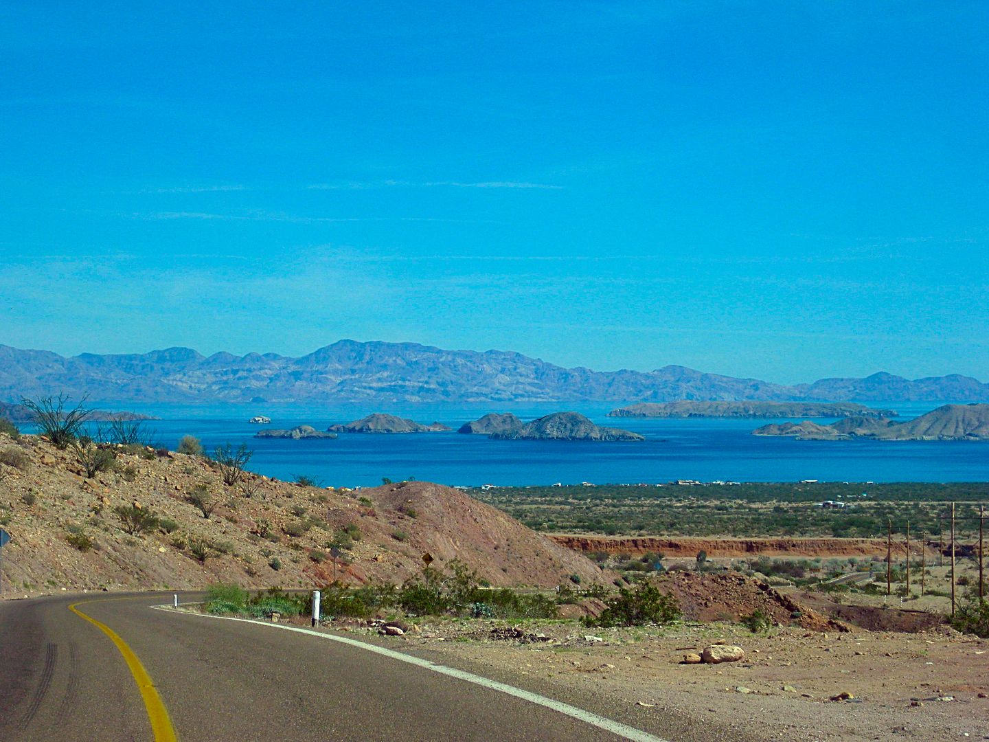
2) 
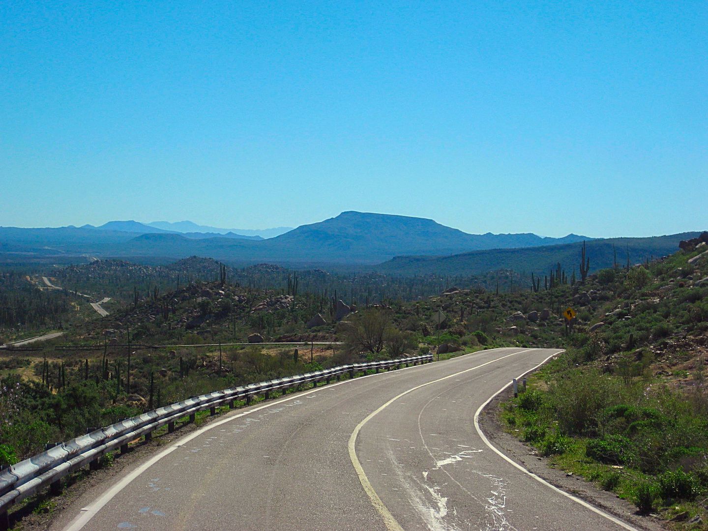
3) 
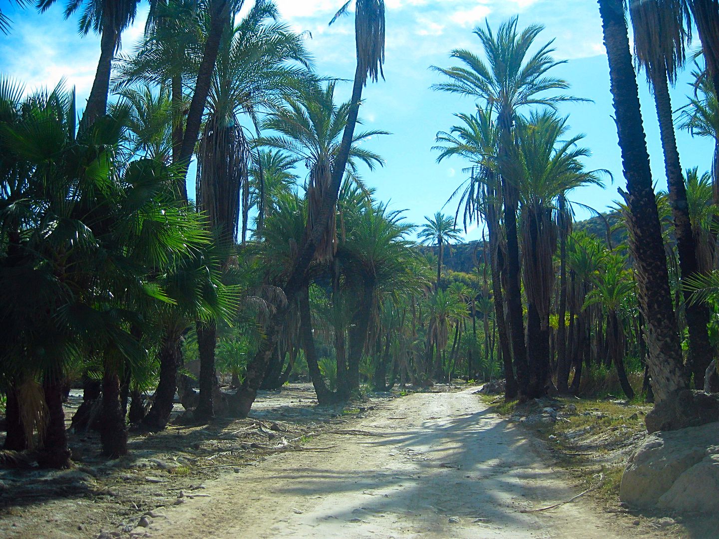
4) 
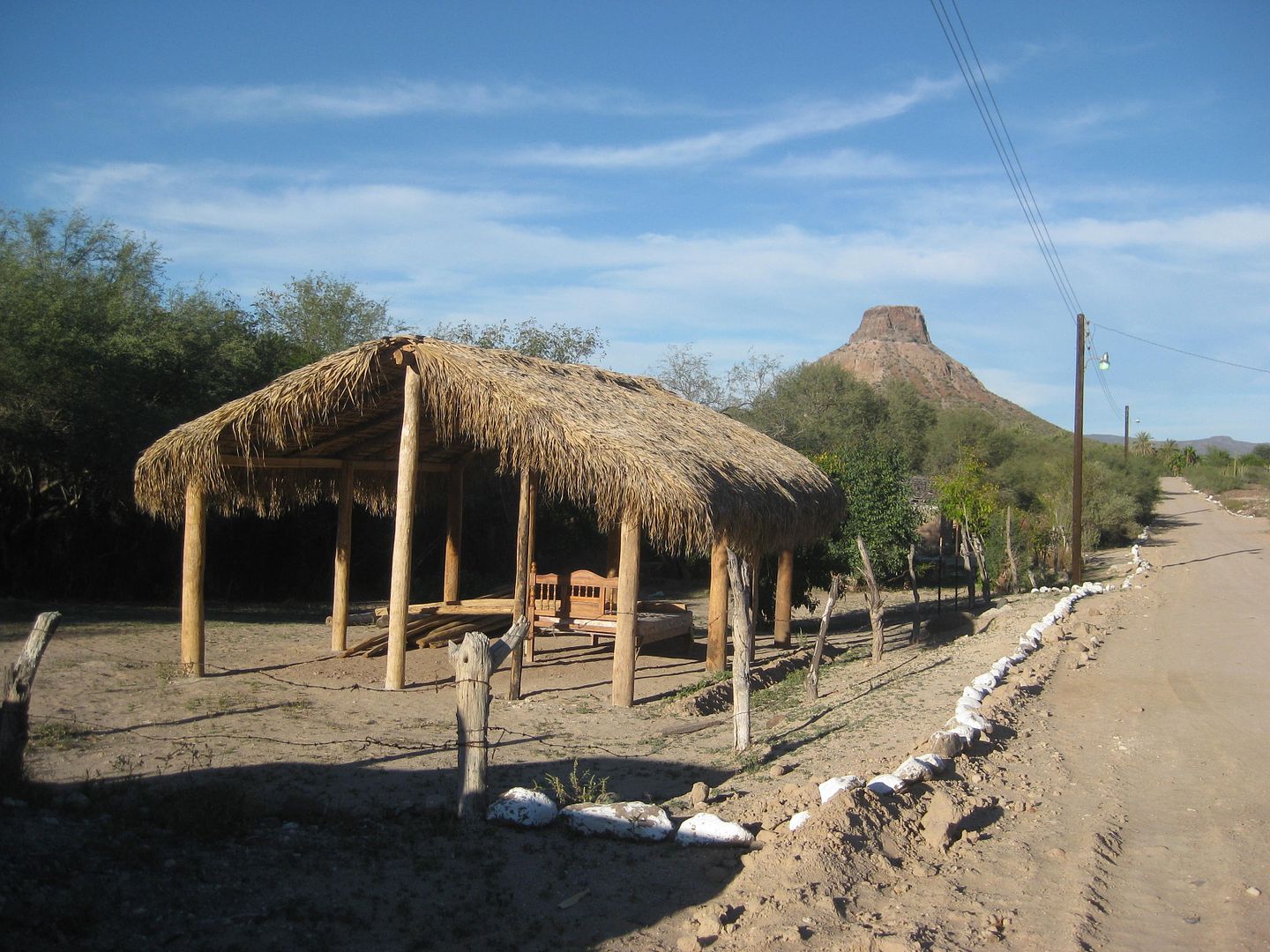
5) 
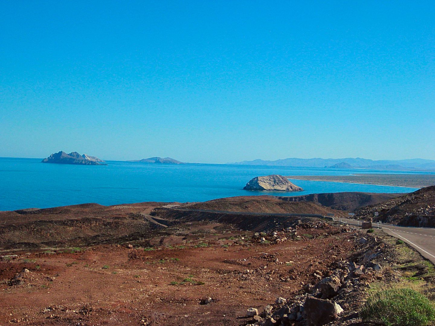
6) 
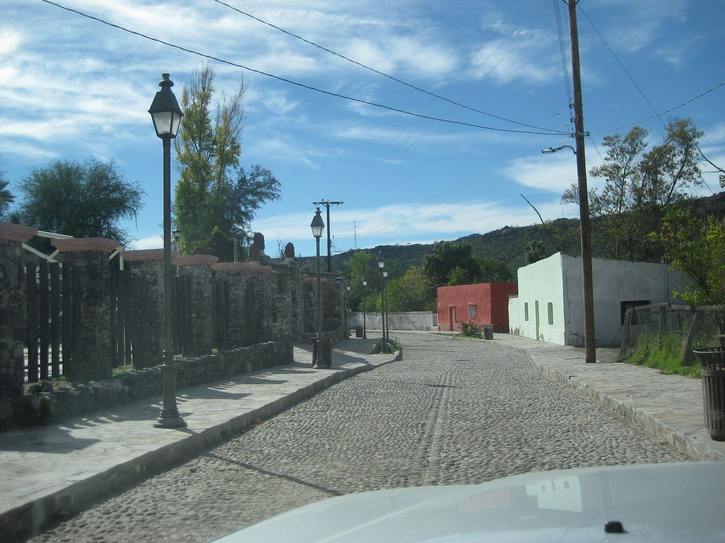
7) 
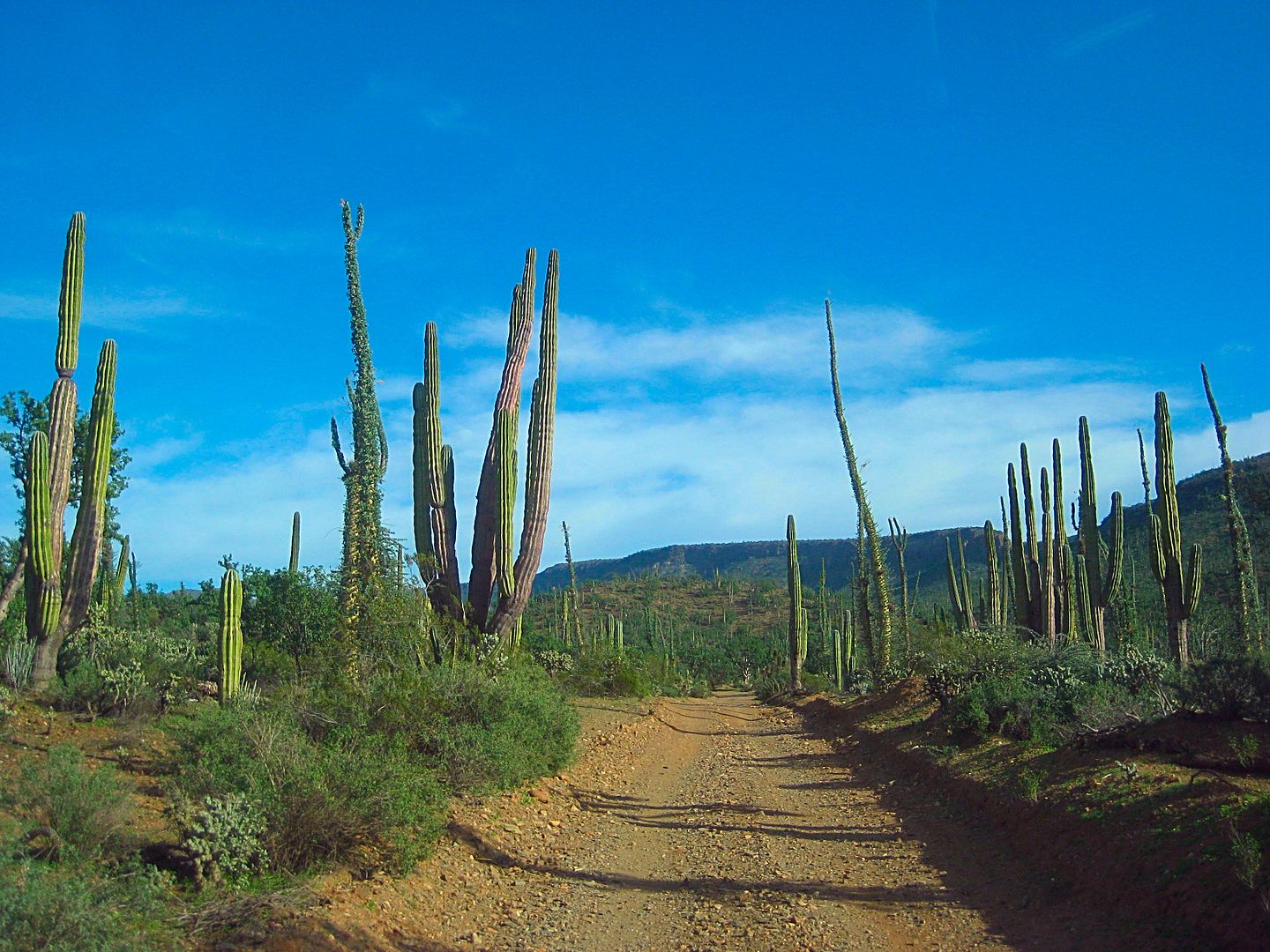
8) 
|
|
|
bajabuddha
Banned
Posts: 4024
Registered: 4-12-2013
Location: Baja New Mexico
Member Is Offline
Mood: Always cranky unless medicated
|
|
5) easy peasy, La Purisima
I don't have a BUCKET LIST, but I do have a F***- IT LIST a mile long!
86 - 45*
|
|
|
David K
Honored Nomad
        
Posts: 65361
Registered: 8-30-2002
Location: San Diego County
Member Is Offline
Mood: Have Baja Fever
|
|
Yes, and surely you could answer more! Thank you for playing!
|
|
|
AKgringo
Elite Nomad
     
Posts: 6258
Registered: 9-20-2014
Location: Anchorage, AK (no mas!)
Member Is Offline
Mood: Retireded
|
|
#4; Looks like the burnt palms near San Miguel de Comondu
[Edited on 12-27-2018 by AKgringo]
If you are not living on the edge, you are taking up too much space!
"Could do better if he tried!" Report card comments from most of my grade school teachers. Sadly, still true!
|
|
|
David K
Honored Nomad
        
Posts: 65361
Registered: 8-30-2002
Location: San Diego County
Member Is Offline
Mood: Have Baja Fever
|
|
You are good!
Yes, this is the road between San Miguel Comondú and San Jose Comondú.
|
|
|
Rossman
Nomad
 
Posts: 205
Registered: 10-6-2013
Location: Bahia Asuncion
Member Is Offline
|
|
Just one that I'm sure about but a couple more that I can guess at.
1. Possibly the road between El Arco and San Francisquito.
3. Two guesses Mex 1 South after the climb out of El Rosario near Hector's shrine, or Mex 1 South, after the climb out of Laguna Chapala.
6. Mex 5 turnout between Puertecitos and Punta Bufeo.
Nice photos
|
|
|
ehall
Super Nomad
   
Posts: 1906
Registered: 3-29-2014
Location: Buckeye, Az
Member Is Offline
Mood: It's 5 o'clock somewhere
|
|
#2 BOLA. I got the same picture.
|
|
|
David K
Honored Nomad
        
Posts: 65361
Registered: 8-30-2002
Location: San Diego County
Member Is Offline
Mood: Have Baja Fever
|
|
Quote: Originally posted by Rossman  | Just one that I'm sure about but a couple more that I can guess at.
1. Possibly the road between El Arco and San Francisquito.
3. Two guesses Mex 1 South after the climb out of El Rosario near Hector's shrine, or Mex 1 South, after the climb out of Laguna Chapala.
6. Mex 5 turnout between Puertecitos and Punta Bufeo.
Nice photos |
Thank you and thanks for playing!
#1 is an unimproved (two-track) road. The El Arco-San Francisquito road is a wide, two-lane, graded road. HINT: Not far from L.A. Bay and is a
dead-end road.
#3 is your second guess, named El Portezuelo, Km. 243, elev. 2,440' (the peninsular divide) about 5 miles south of Laguna Chapala 'village'.
#6 is correct, more exactly the view parking at Km. 99, north of El Huerfanito.
|
|
|
David K
Honored Nomad
        
Posts: 65361
Registered: 8-30-2002
Location: San Diego County
Member Is Offline
Mood: Have Baja Fever
|
|
CORRECT!
So, that leaves #1, #7, and #8 unanswered with hints provided for #1 because an answer was attempted.
|
|
|
David K
Honored Nomad
        
Posts: 65361
Registered: 8-30-2002
Location: San Diego County
Member Is Offline
Mood: Have Baja Fever
|
|
Some more guesses for 1, 7, 8 ???
HINTS:
#1 goes to a pictograph site. Previous hint: " Not far from L.A. Bay and is a dead-end road."
#7 An old Spanish mission town in Baja Ca Sur, less than 3 miles from a paved highway.
#8 A Baja (Norte) road, one of two to an old mission site and both are about the same length from a paved road.
|
|
|
thebajarunner
Ultra Nomad
    
Posts: 3754
Registered: 9-8-2003
Location: Arizona....."Free at last from crumbling Cali
Member Is Offline
Mood: muy amable
|
|
1 looks like the short track off the San Borja road to the pictographs
7 looks like the road into San Ignacio town
8 looks like the road out of EL Progreso to the San Fernando Velicata mission ruins
(been on all of those in the last six months)
|
|
|
David K
Honored Nomad
        
Posts: 65361
Registered: 8-30-2002
Location: San Diego County
Member Is Offline
Mood: Have Baja Fever
|
|
#1 OK, I can give to you, it is the road to Montevideo, the pictograph filled cliff. It is about 7 miles from the San Borja graded road and begins 2
miles south of the L.A. Bay highway.
#7: nope (it was taken in the same area as another photo in this game)
#8: nope
|
|
|
bajabuddha
Banned
Posts: 4024
Registered: 4-12-2013
Location: Baja New Mexico
Member Is Offline
Mood: Always cranky unless medicated
|
|
#7 looks a lot like San Ignatz with the cobblestone street and the lava wall in the background.
I don't have a BUCKET LIST, but I do have a F***- IT LIST a mile long!
86 - 45*
|
|
|
David K
Honored Nomad
        
Posts: 65361
Registered: 8-30-2002
Location: San Diego County
Member Is Offline
Mood: Have Baja Fever
|
|
'thebajarunner' had already guessed the same. This is in another mission town. Very similar, yes.
|
|
|
David K
Honored Nomad
        
Posts: 65361
Registered: 8-30-2002
Location: San Diego County
Member Is Offline
Mood: Have Baja Fever
|
|
Towns and villages with a Spanish mission in them (north to south):
La Misión
Santo Tomás
Santa Catarina (nearby)
San Vicente
El Rosario
Santa Gertrudis (hardly a village)
San Ignacio
Mulegé
La Purísima
San José Comondú
Loreto
San Javier
San Luis Gonzaga
La Paz
Santiago
Todos Santos
San José del Cabo
[Edited on 12-30-2018 by David K]
|
|
|
David K
Honored Nomad
        
Posts: 65361
Registered: 8-30-2002
Location: San Diego County
Member Is Offline
Mood: Have Baja Fever
|
|
No more guessing?
#7 is in San Jose Comondú
#8 the road to Mission San Borja from Hwy. 1.
Now, let's have a go at TW's photo game!
|
|
|

