| I just started riding again a couple of months ago, riding solo I got lost too many times in the mountains at the beginning, I tried using a couple
old garmin gps units at the start, then motion x, I have ended up using Gaia, I bought an iPhone 5s for $70 on eBay and also have it loaded on all
other phones and iPad. It’s really nice to sit and use the iPad to look at maps and plot routes, all devices auto update when opened up, I’m
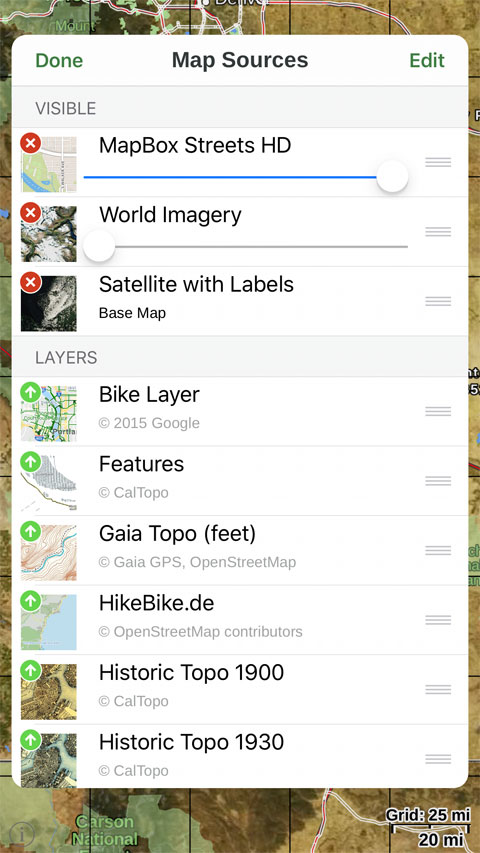
still using the $20 version, I’m pretty happy with it, it seems the upgrade offers some more map download options and map layering.
|