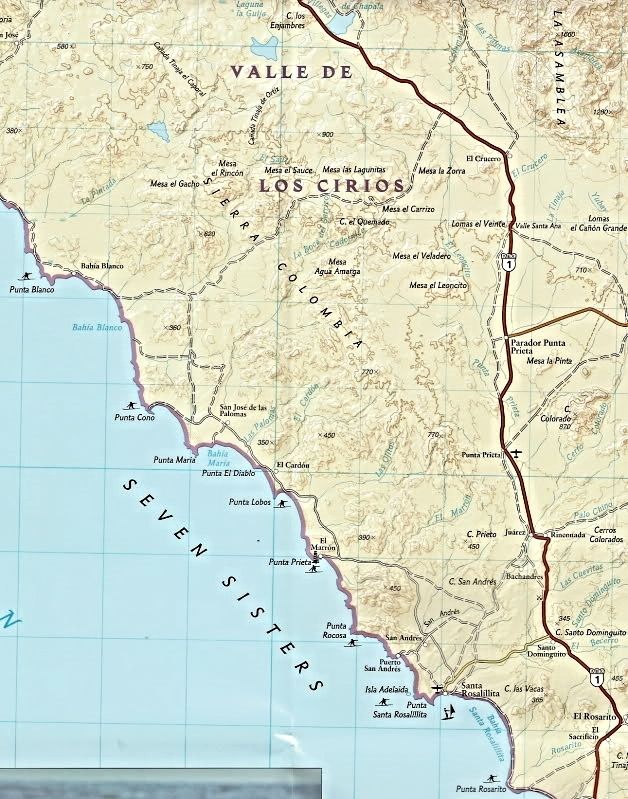
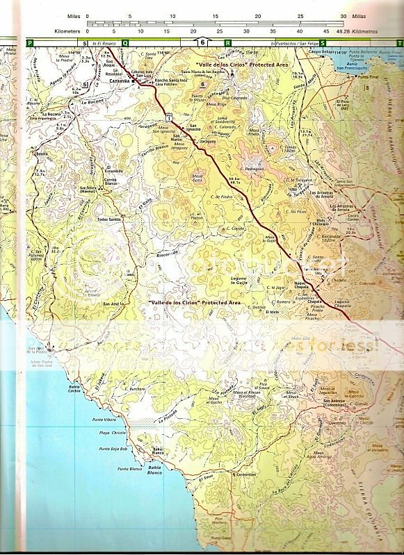
Quote: Originally posted by bajaric  | Nat Geo maps are so so. Pretty good detail on watercourses, topography, and dirt tracks. Two major cons: One, no mileage logs between road
junctions. Two, instead of lat / long on the edge the map has weird NAD datum expressed as 34 80, 34 70 etc. Still have not figured that out. These
two things make the Nat Geo pretty much useless for navigation in the back country.
. |
Ric, are you referring to the blue numbers? those are UTMs. essentially a grid system covering the whole globe, uses meters, i use that all the
time to give me a quick estimate of distances, but then again I used UTMs alot when I was doing habitat mapping and modeling, so I'm familiar with
it. a lot simpler than converting degrees minutes and seconds into distances.
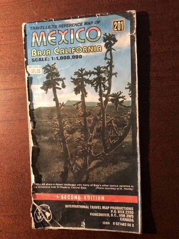
Another map I use for quick reference and travel is the Elimaps Baja California 2018 map. has all the gas stops camping places food tourist stops
etc. all on one page (N & S one side each). also has one of the mileage tables , also has all the dive places and shops as well. i find it
pretty handy, and easy to use
[Edited on 10-22-2019 by caj13]
[Edited on 10-22-2019 by caj13] |


