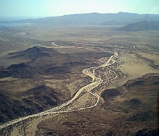
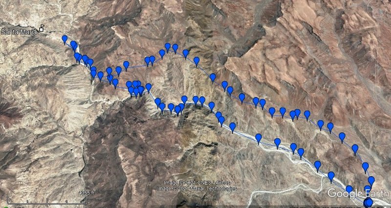
FWIW, I did this as a 1-day loop hike on March 31 this year. I way underestimated the intensity and length of the hike and under prepared. Only had
a cereal bar, pb&j sandwich, and 48 ounces of water. Luckily it wasn't too hot.
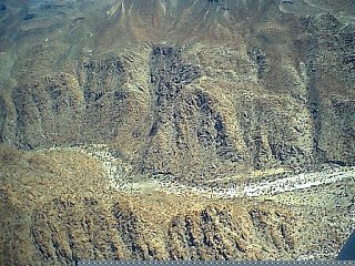
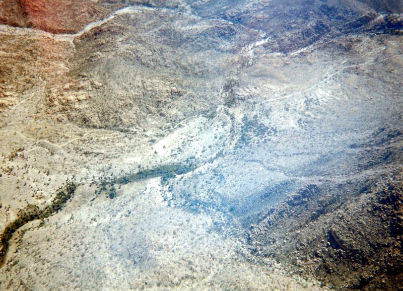
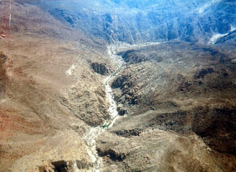
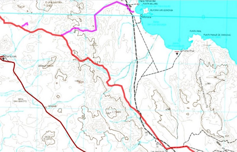
I camped in the wash near the start. Hiked the El Camino Real trail in, looked for the mission site for a while (didn't quite go far enough to get to
it though), then hiked up and down into the canyon where I then hiked back out to my camp.
My stats were 13.86 miles / 2,784 of total elevation gain / 5:30 of moving time (all according to Strava).
It was beautiful and very rugged. Unfortunately not a lot of water in the canyon (or maybe that was a good thing). I was beyond spent by the time I
returned to camp but I made it!
Very glad I did it but wish I had been better prepared with nutrition and water.
|