TMW
Select Nomad
      
Posts: 10659
Registered: 9-1-2003
Location: Bakersfield, CA
Member Is Offline
|
|
Coco Express Run
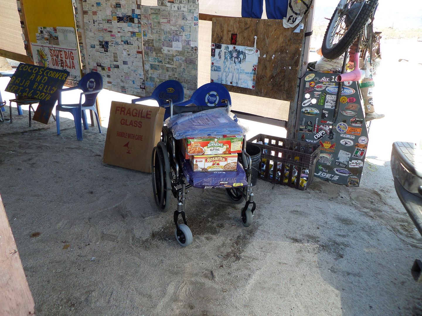
A couple of months ago with the help of some friends I purchased a new wheelchair for Coco. I also purchased wider tires for it to help in the sand at
his place. The tires are flat free so getting a flat will not happen. On September 18 and 19 I took the wheelchair along with the original wheels and
other parts that came with as well as mosquito netting and foods supplies to Coco.
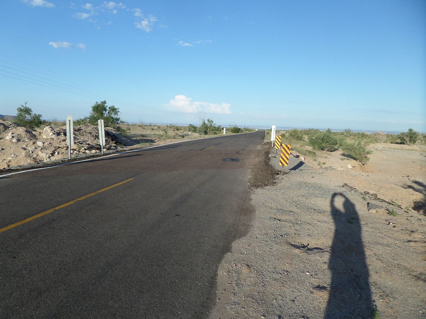
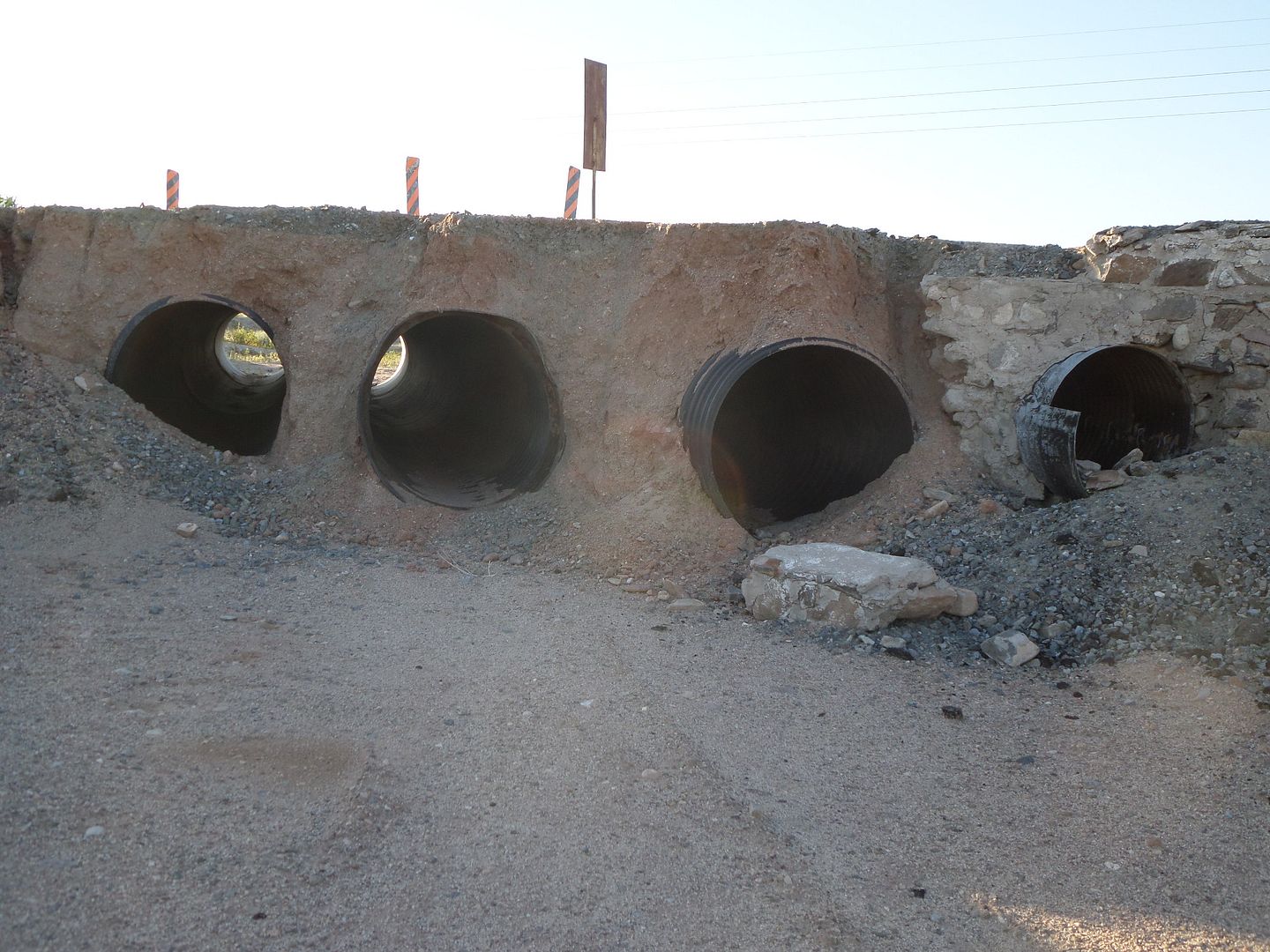
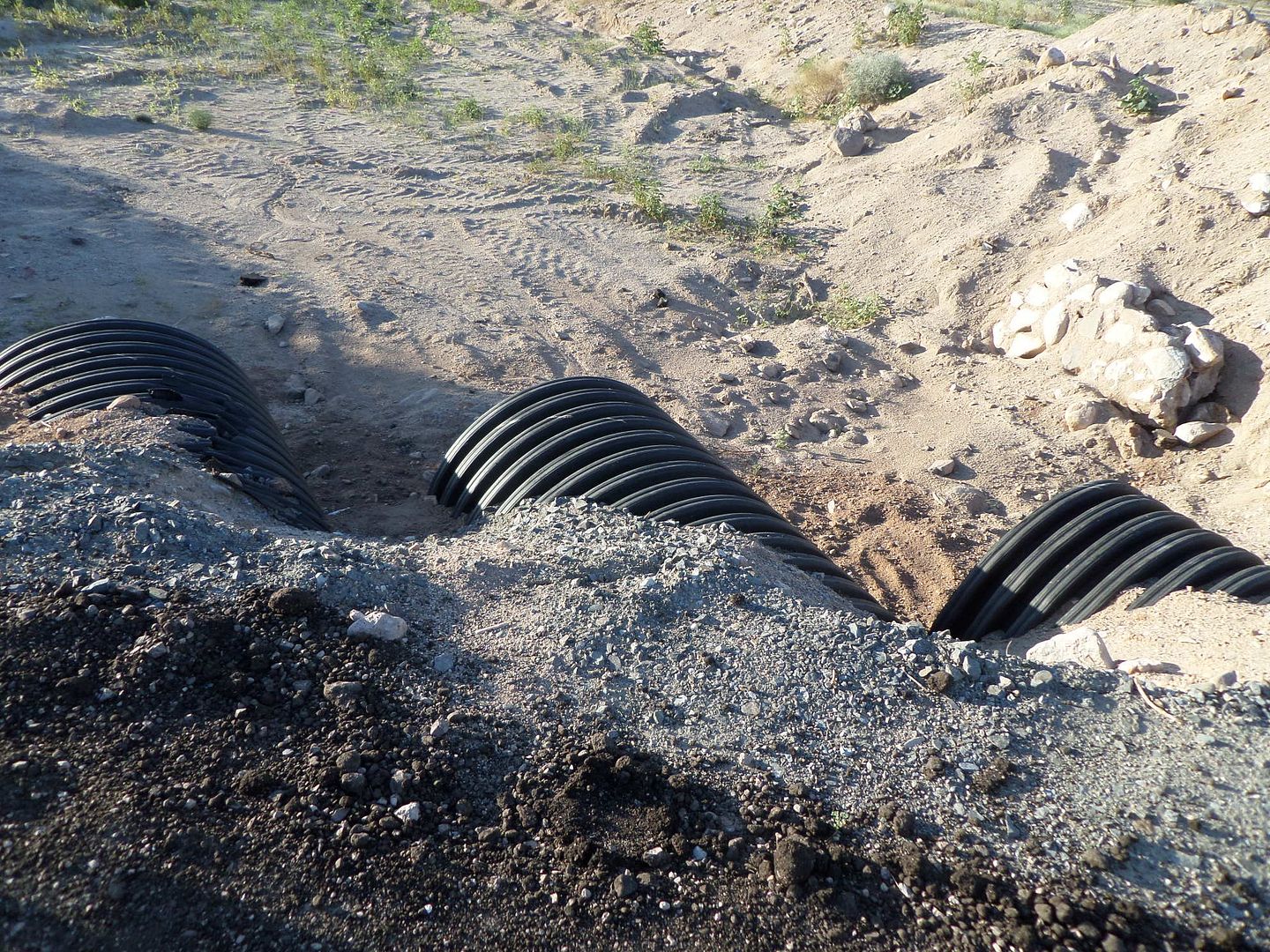
On Thursdays the 18th I crossed at Mexicali and headed south to San Felipe. At the hwy 3/5 jct I turned west to KM190 to check out the road damage. A
large washout on the south side was reported on Nomad recently.
The repairs are complete
I then continued to San Felipe for the night. For dinner I went to El Nidos to see if there was an improvement in the steaks. The Filet Mignon was
excellent, so tender it could almost be cut with a fork.
Friday I was up and on the road by 7 am. The hwy to Gonzaga Bay was in very good condition. After Puertecitos there is only some small loose rocks on
the edge of the hwy in places. At Gonzaga Bay there was lots of water near Alfonsina's.
Water water
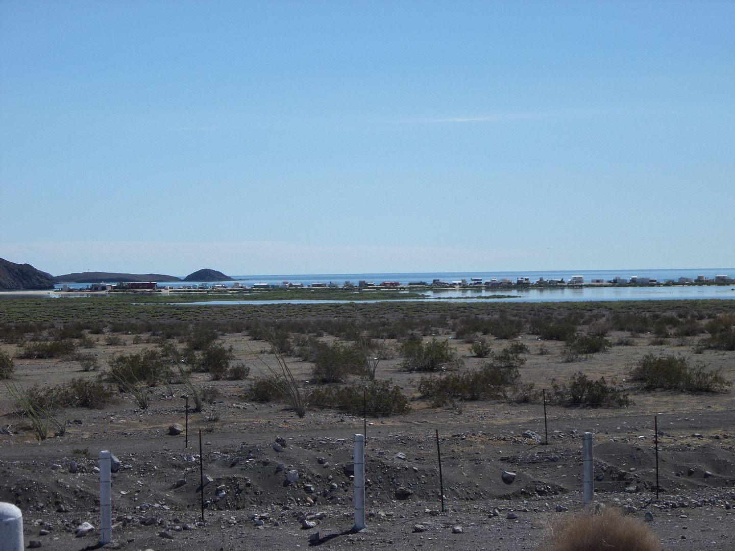
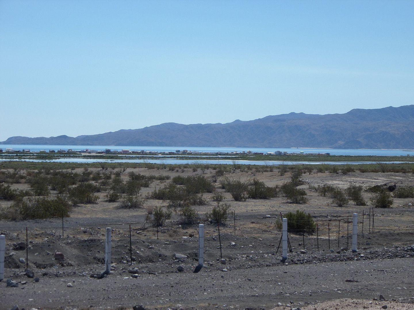
There were some water at places in and by the road but no big deal.

The hwy continues pass the gas station for 2 miles. The construction continues for about 10 miles.
The bridge at Arroyo Santa Maria
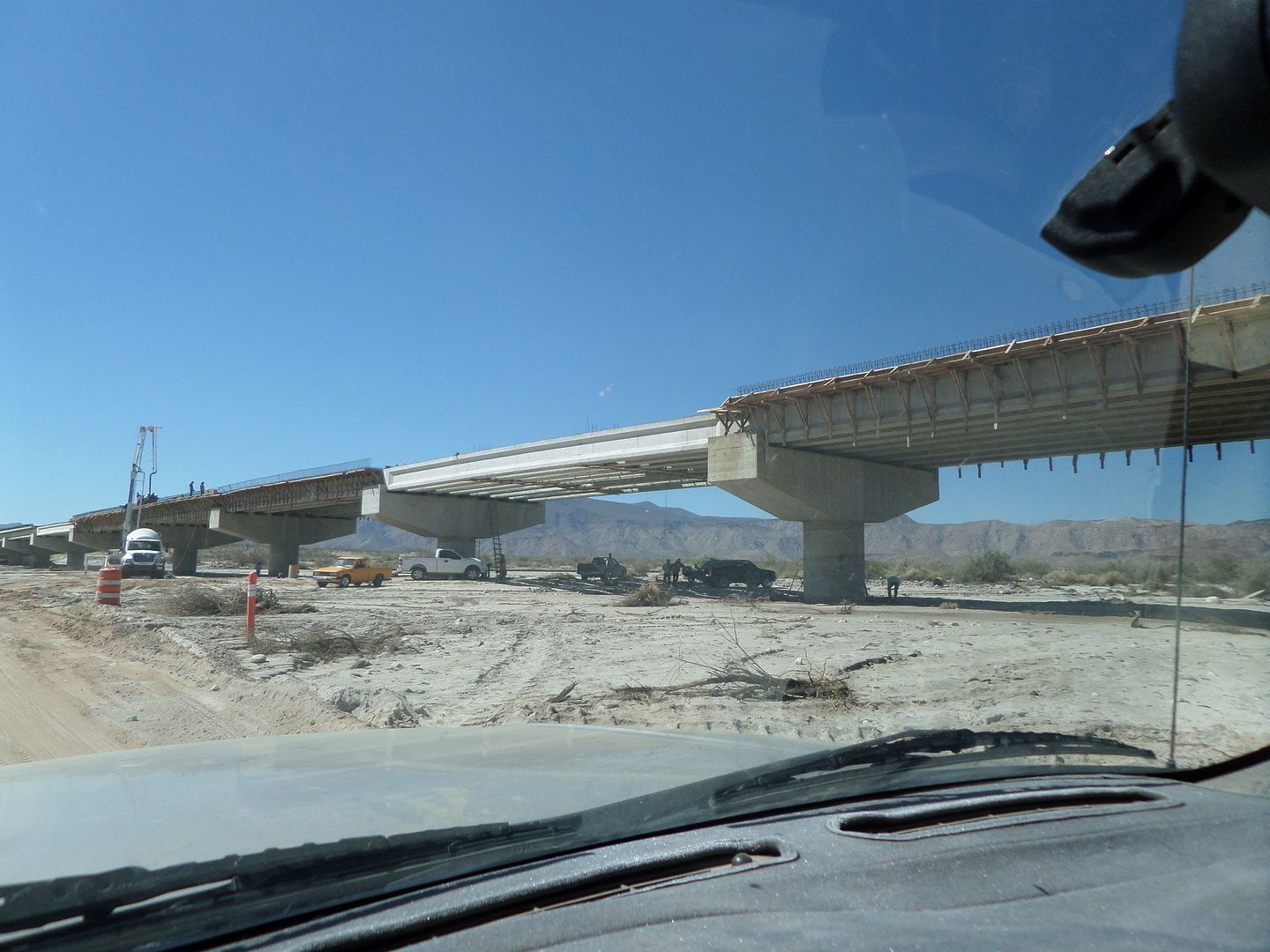
After a while I joined the graded road. The new road construction continues to the west of the graded road by a few hundred yards.
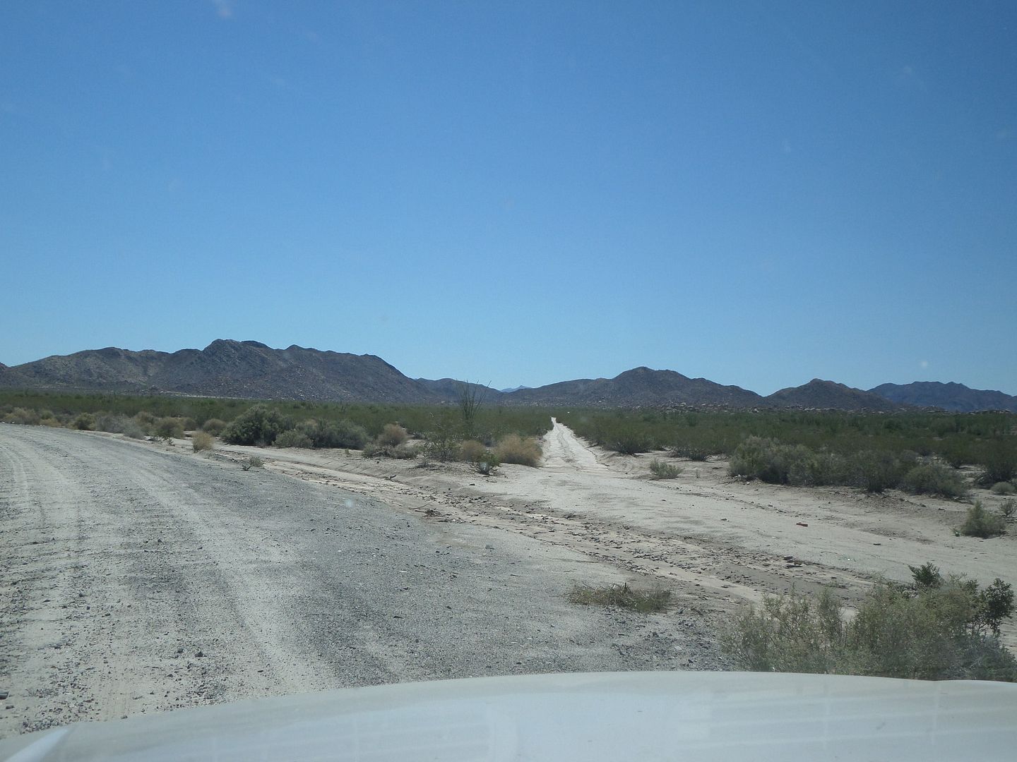
At Las Arrastras I did not see any survey ribbons or stakes. In fact I didn't any since leaving the construction area. Soon After Las Arrastras there
is a road to the right that I assume is the old road before the graded road was built. I think it goes to the rancho behind Coco.
Road to the right
At Cocos I unload the wheelchair and other stuff.

Coco is the man and happy as can be.
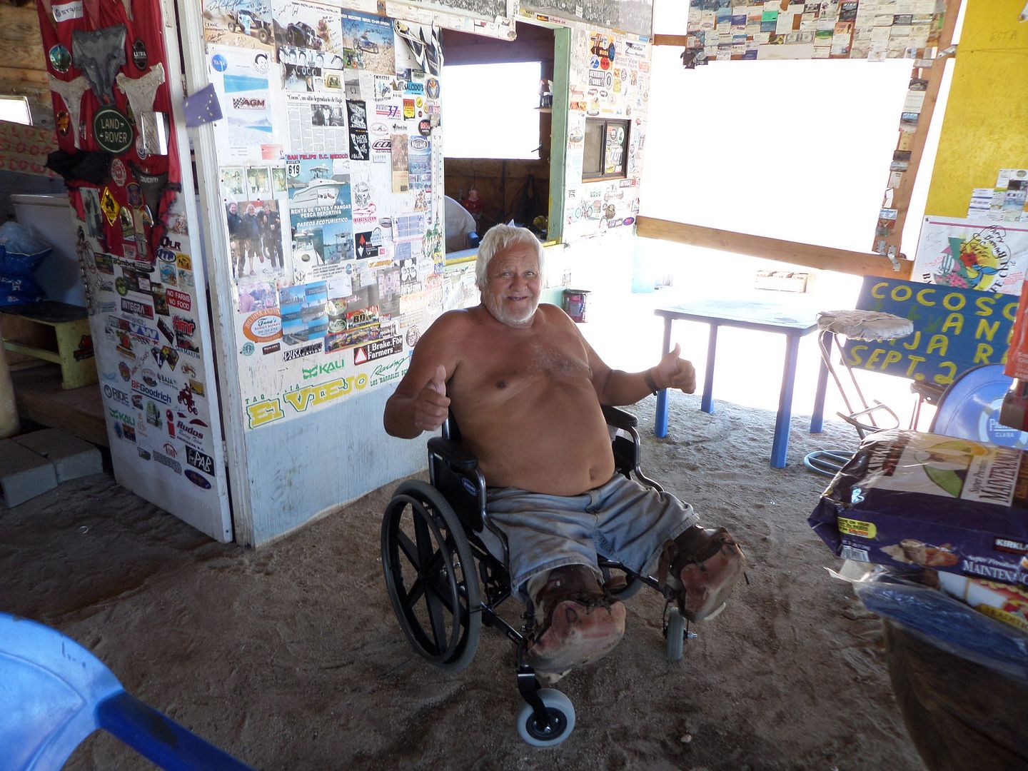
The road from Cocos to hwy 1 had some standing water but not too bad. The washouts on the side of the road are bigger and there are holes in the
middle of the road to be careful of.
The washouts at some curves could be a problem if pulling a trailer. About half way to hwy 1 was an 18 wheeler hauling telephone poles parked on the
side. He isn't going anywhere soon.
At the old Grosso place a couple of miles before hwy 1 the road is washed out in two places. I didn't have any problem getting across either one.
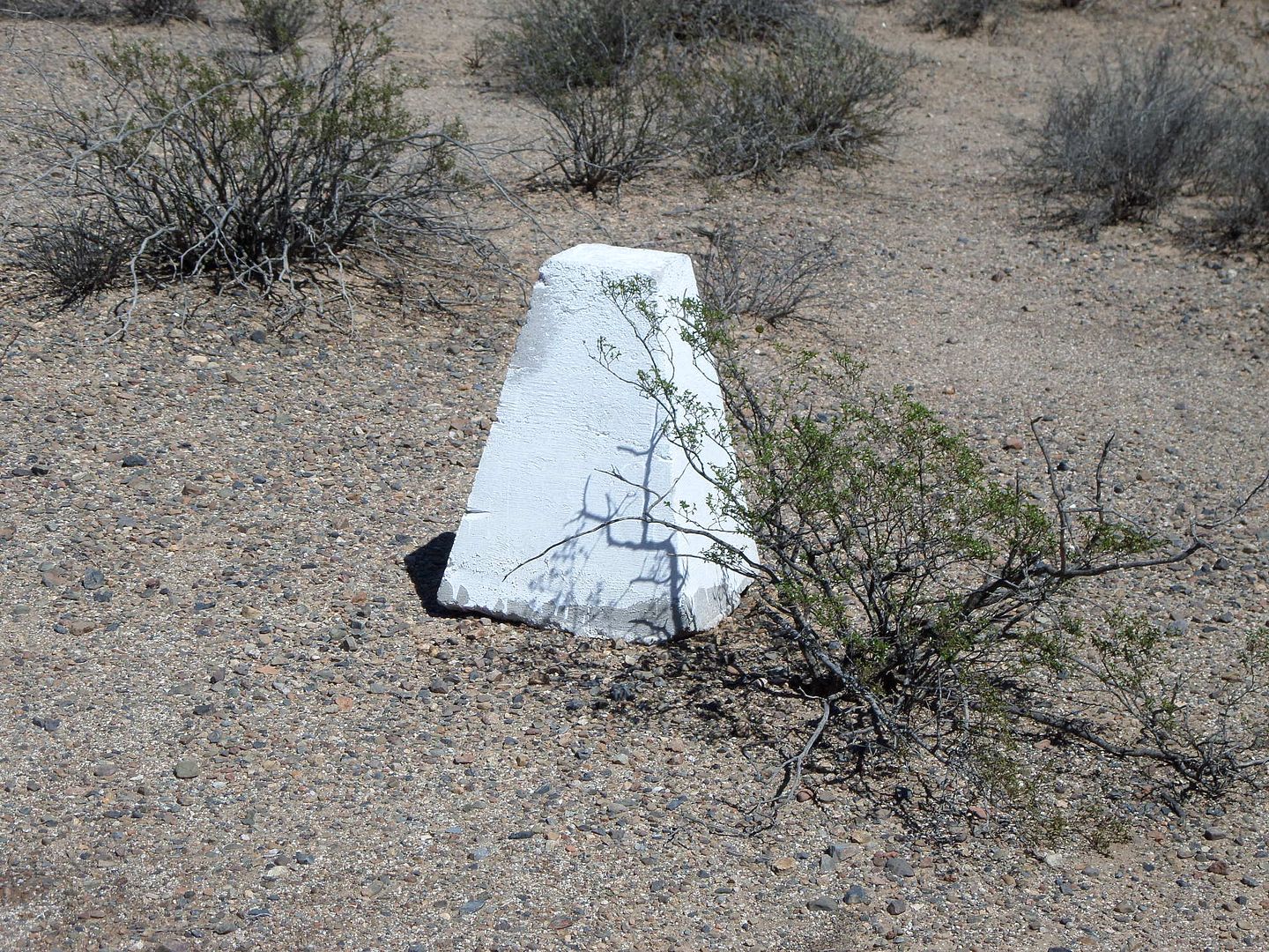
When you drop down the last hill before Chapala I noticed white concrete marker on each side of the road. They are maybe 50 feet from the road and
maybe 50-100 yards apart. They go at least to the Grosso place but maybe to hwy1 I just didn't look foir them after the washouts at Grosso.
It's up to Catavina on hwy 1. At KM203/204 the north bound lane is washed out. The arroyo crossing south of Catavina is one lane until they move the
sands on the hwy. The one north the concrete is buckled up and is one lane crossing over it.
I continued toward Ensenada. Below the turnoff for Erendira there is road construction for about 4 miles. It's over night at the Ensenada Inn. Up
Saturday morning and I'm off for Tecate. I get to the border at 8:40 and cross at 9:20 and continue for home. I'm in Bakersfield by 3:30pm just in
time for football.
A quick trip to Baja but fun and interesting for sure.
[Edited on 9-22-2014 by TW]
|
|
|
El Vergel
Nomad
 
Posts: 197
Registered: 8-27-2003
Location: San Felipe - Puertecitos Rd., Km. 35 and Santa Mon
Member Is Offline
|
|
Great stuff, TW ! Thanks for the report and making the man happy.
|
|
|
TMW
Select Nomad
      
Posts: 10659
Registered: 9-1-2003
Location: Bakersfield, CA
Member Is Offline
|
|
Several people have asked me where Coco gets his water and I thought it was from a well at the ranch behind his place. No, he said the well water was
bad. He gets it from Catavina. He and his friends take several blue barrels for the water. The barrels look like they are maybe 50 gallons each.
|
|
|
StuckSucks
Super Nomad
   
Posts: 2369
Registered: 10-17-2013
Location: Pacific Plate
Member Is Offline
|
|
Thanks for the Highway 5 update - I'll be going thru there in six weeks (and looking forward to it).
|
|
|
David K
Honored Nomad
        
Posts: 65418
Registered: 8-30-2002
Location: San Diego County
Member Is Offline
Mood: Have Baja Fever
|
|
Awesome as usual TW!
The highway route markers left by surveyors used to be white painted rocks made into a cross about 3 feet across. I saw them from San Felipe to south
of Gonzaga back in 1974... over 10 years before the graded road was built along that route.
One of these white rock crosses was just a few hundred feet from the home of Nuevo Mazatlan founder Luis C. Moreno. He was so excited for the paved
highway coming... Sadly, for him, it never did while he was there... the graded roadbed was built in 1982, and it would be many more years before the
first, thin asphalt was applied to it.
|
|
|
John M
Super Nomad
   
Posts: 1924
Registered: 9-3-2003
Location: California High Desert
Member Is Offline
|
|
Wheelchair
Tom it looks as though the wheelchair was made to order for our friend!
Thanks for taking the time to deliver it.
John and Barbara
|
|
|
ehall
Super Nomad
   
Posts: 1906
Registered: 3-29-2014
Location: Buckeye, Az
Member Is Offline
Mood: It's 5 o'clock somewhere
|
|
Did the arroyo santa maria looked like it had ran?
|
|
|
David K
Honored Nomad
        
Posts: 65418
Registered: 8-30-2002
Location: San Diego County
Member Is Offline
Mood: Have Baja Fever
|
|
| Quote: | Originally posted by ehall
Did the arroyo santa maria looked like it had ran? |
Tom, if you have any more photos of the impressive bridge, please add them.
It was posted that Punta Final and El Sacrificio were cut off from Rancho Grande/Alfonsina's during the storm, and that would be Arroyo Santa Marķa...
However, you would think it would still be wet under the bridge?
|
|
|
TMW
Select Nomad
      
Posts: 10659
Registered: 9-1-2003
Location: Bakersfield, CA
Member Is Offline
|
|
I only took the one picture of the bridge. There was no water under or near the bridge. It must have all soaked in by the time I got there. I'm sure
that Punta Final and El Sacrificio are OK now.
|
|
|
Steve&Debby
Nomad
 
Posts: 335
Registered: 12-18-2007
Location: Colusa,California/ Percebu
Member Is Offline
|
|
We were down at Coco's in April. Coco told me he checked in to having a well drilled, he was told it would cost 1,000,000.00 pesos.I told him I would
do it for half of that. If I could get a permit and get my drill rig down there and back home.
[Edited on 10-13-2014 by Steve& ebby] ebby]
|
|
|
David K
Honored Nomad
        
Posts: 65418
Registered: 8-30-2002
Location: San Diego County
Member Is Offline
Mood: Have Baja Fever
|
|
| Quote: | Originally posted by Steve& ebby ebby
We were down at Coco's in April. Coco told me he checked in to having a well drilled, he was told it would cost 1,000,000.00 pesos.I told him I would
do it for half of that. If I could get a permit and get my drill rig down there and back home.
[Edited on 10-13-2014 by Steve& ebby] ebby] |
Is Coco's water trucked in from the ranch a mile west or somewhere else, do you know?
|
|
|
rts551
Elite Nomad
     
Posts: 6700
Registered: 9-5-2003
Member Is Offline
|
|
| Quote: | Originally posted by TW
Several people have asked me where Coco gets his water and I thought it was from a well at the ranch behind his place. No, he said the well water was
bad. He gets it from Catavina. He and his friends take several blue barrels for the water. The barrels look like they are maybe 50 gallons each.
|
posted earlier David
|
|
|
David K
Honored Nomad
        
Posts: 65418
Registered: 8-30-2002
Location: San Diego County
Member Is Offline
Mood: Have Baja Fever
|
|
Thank you Ralph. I only looked at new posts this morning and Steve and Debbie's post on drilling a well there (yesterday) inspired my question. I
didn't remember that TW had my answer posted last month.
|
|
|

