seabright_sc
Newbie
Posts: 8
Registered: 11-12-2006
Member Is Offline
|
|
Baja Norte in January General Trip Questions
Hello fellow Nomads, My last Baja surf adventure was about 10 years ago and I've been dying to return. This time it's going to be much more mellow.
We will be staying at Club Marena condos at k-38.
Us: Family of three. My daughter (13) and I surf, wife does not.
We love exploring and experiencing the culture. Hiking, exploring cities, wine region, beaches and surf of course.
We plan on a combination of chilling/surfing at the condo/k-38, in addition to local surf excursions and adventures as mentioned above.
Border crossing in Chula Vista on Sunday 1/7 and returning on Friday 1/12.
Questions:
Border crossings (Chula Vista): On Sunday 1/7, we can cross anytime between 8am and 1pm. In regards to wait times/delays, does it matter when?
Return on Friday 1/12: We can cross anytime between 9:00am-Noon. Again, is there a preferred time to minimize delays?
Day trips from our condo (near Rosarito): Any recommendations besides Ensenada, La bufadora? Cultural/City or Beaches,hiking all good!
Night Time Driving: Considering our location, is it safe to drive after sunset (surfboards may be on car)? Or should we plan on returning to condo by
dark? Last trip this was a non-issue for us since we spent all of our time South of San Quintin. But I am not sure of safety concerns in the Border
to Ensenada area.
Any other tips/suggestions?
Thanks!
|
|
|
David K
Honored Nomad
        
Posts: 65422
Registered: 8-30-2002
Location: San Diego County
Member Is Offline
Mood: Have Baja Fever
|
|
Welcome to Nomad!
There are plenty are surfers on here who may have great info.
I would not recommend driving at night. Park only in a secured area.
Being the mission book guy, I will suggest the California missions of Baja as possible points of interest during your non-surfing days. You are near 2
missions and may be passing by 3 more if you drive to San Quintin.
Spanish California Missions are where European and Mexican (mainland) personal first attempted to colonize the peninsula (called California) and
instruct the natives how to grow crops, build, and live like the Europeans.
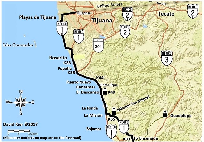
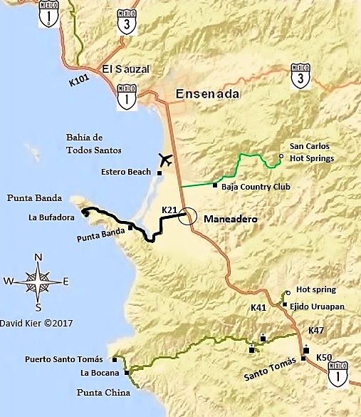
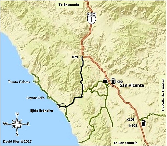
From north to south (as it appears in my new road-guide, kilometer markers are on the free road, Mex. #1. Photos all taken in 2017):
El Descanso...
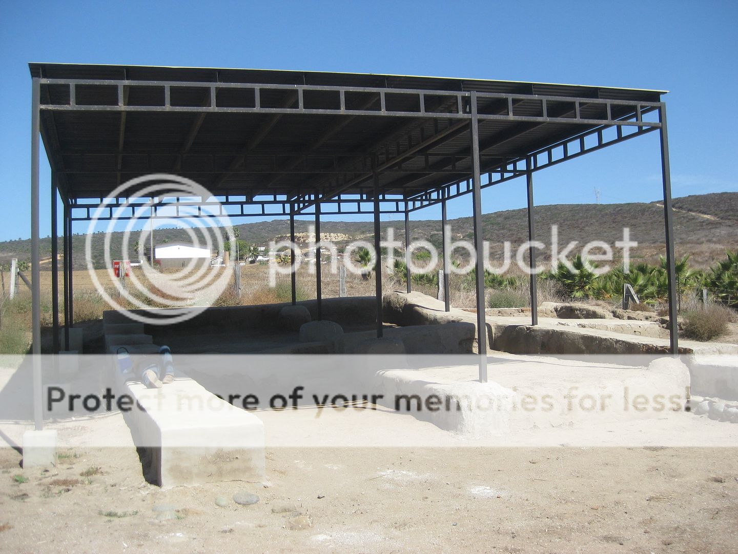
Km. 49+ A road left passes under the toll highway and goes 0.5 mile to a church. This church was built next to the 1830 Dominican
mission site of El Descanso. Originally established on the bluff just to the south in late 1809 or early 1810 as a new location for Mission San Miguel
after flash floods destroyed the fields there. The location was also known as San Miguel la Nueva (New San Miguel). Activities eventually returned to
the original mission site. In 1830, Padre Felix Caballero, who was one of only a few Spanish missionaries to remain in Baja California following
Mexican independence, took it upon himself to establish a new mission at this site and called it El Descanso. It was abandoned in 1834 along with
nearby Mission San Miguel when Caballero established the last California mission, at Guadalupe.
San Miguel (at La Misión)...
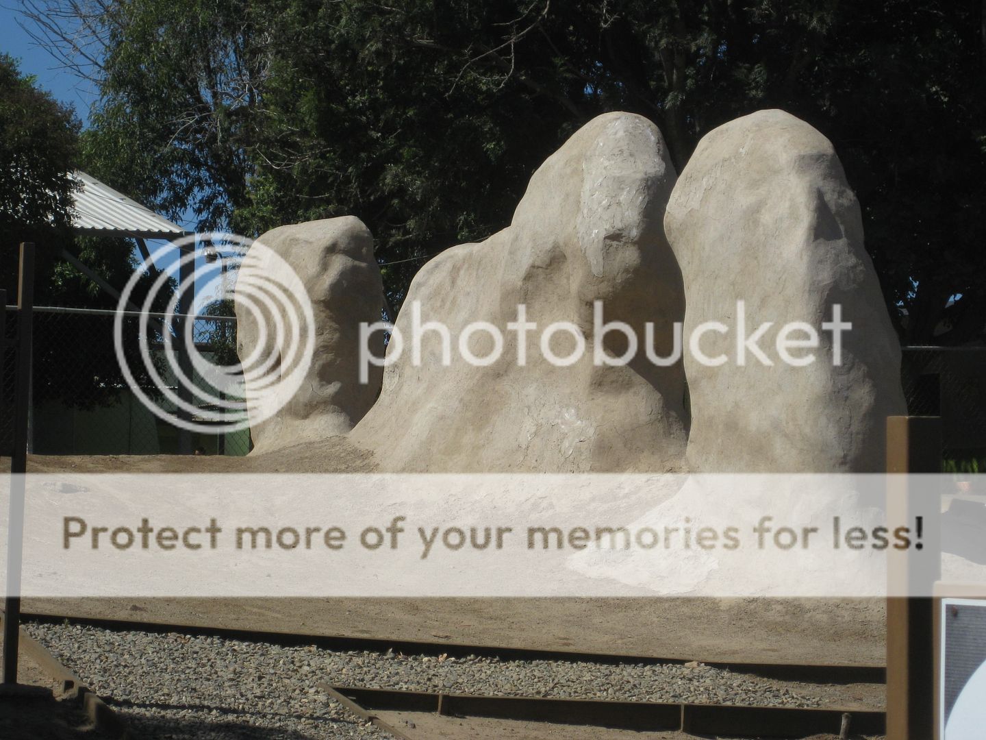
Km. 65.5 La Misión, a town named for the 1787 Spanish mission of San Miguel. The ruins are stabilized and on the left/north side
of the highway, next to the school. Originally founded seven miles to the east, San Miguel was moved to this spot in 1788 by invitation of the Indian
chief who was treated for snakebite by Padre Luis Sales. In 1809, flash floods ruined the farmlands here and the mission was moved north to El
Descanso for a period. The location was finally abandoned in 1834 with the opening of the mission at Guadalupe.
Santo Tomás...
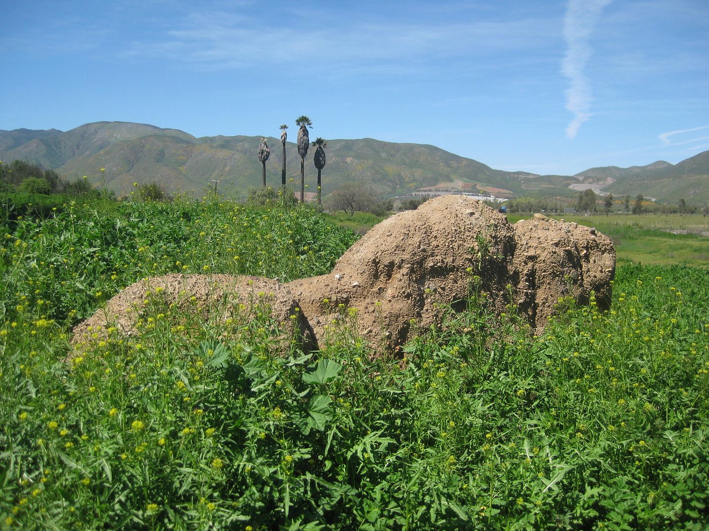
Km. 50 Santo Tomás a small town today but once an important mission and government center. The El Palomar restaurant and motel
are on the west side of the highway as well as a Pemex gas station. The large El Palomar campground/RV park is on the east side of the highway. A
small piece of an adobe wall is all that remains of the last California mission that operated here from 1799 to 1849. It is in the field just north of
the campground.
San Vicente...
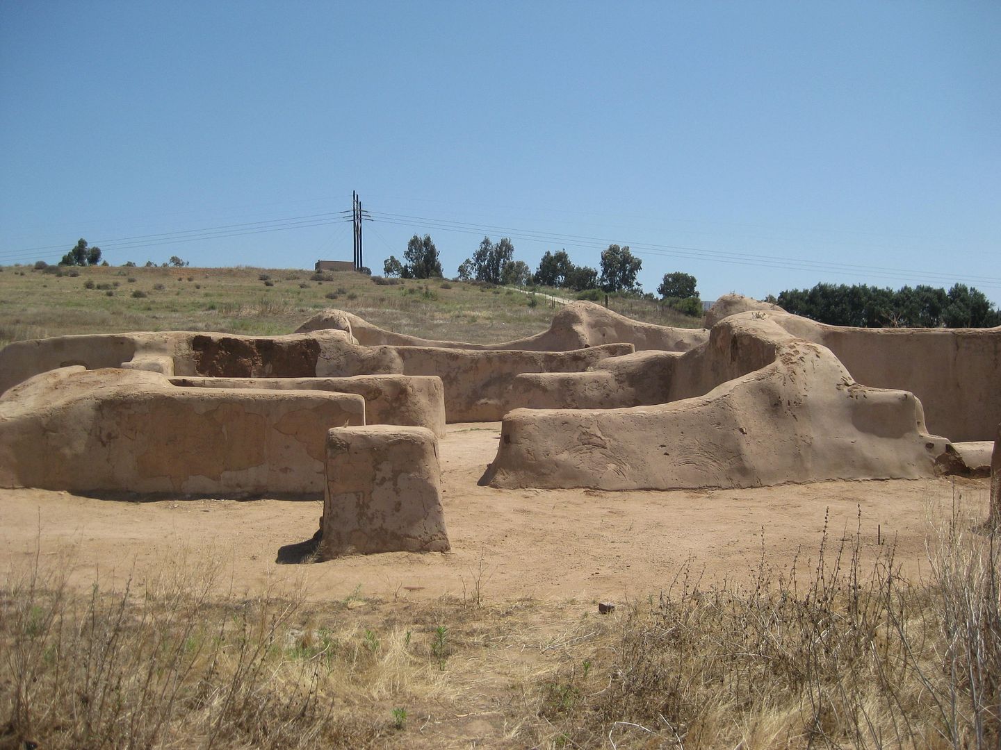
Km. 88.5 Road to Mission San Vicente Ferrer (0.6 mile). San Vicente was an important mission and military base during the years
after its founding in 1780. The mission park is open daily, and a small museum is on the site. Donations are appreciated. A good restaurant, ‘Mi
Ranchita,’ is along the mission road, just off the highway.
Santo Domingo...
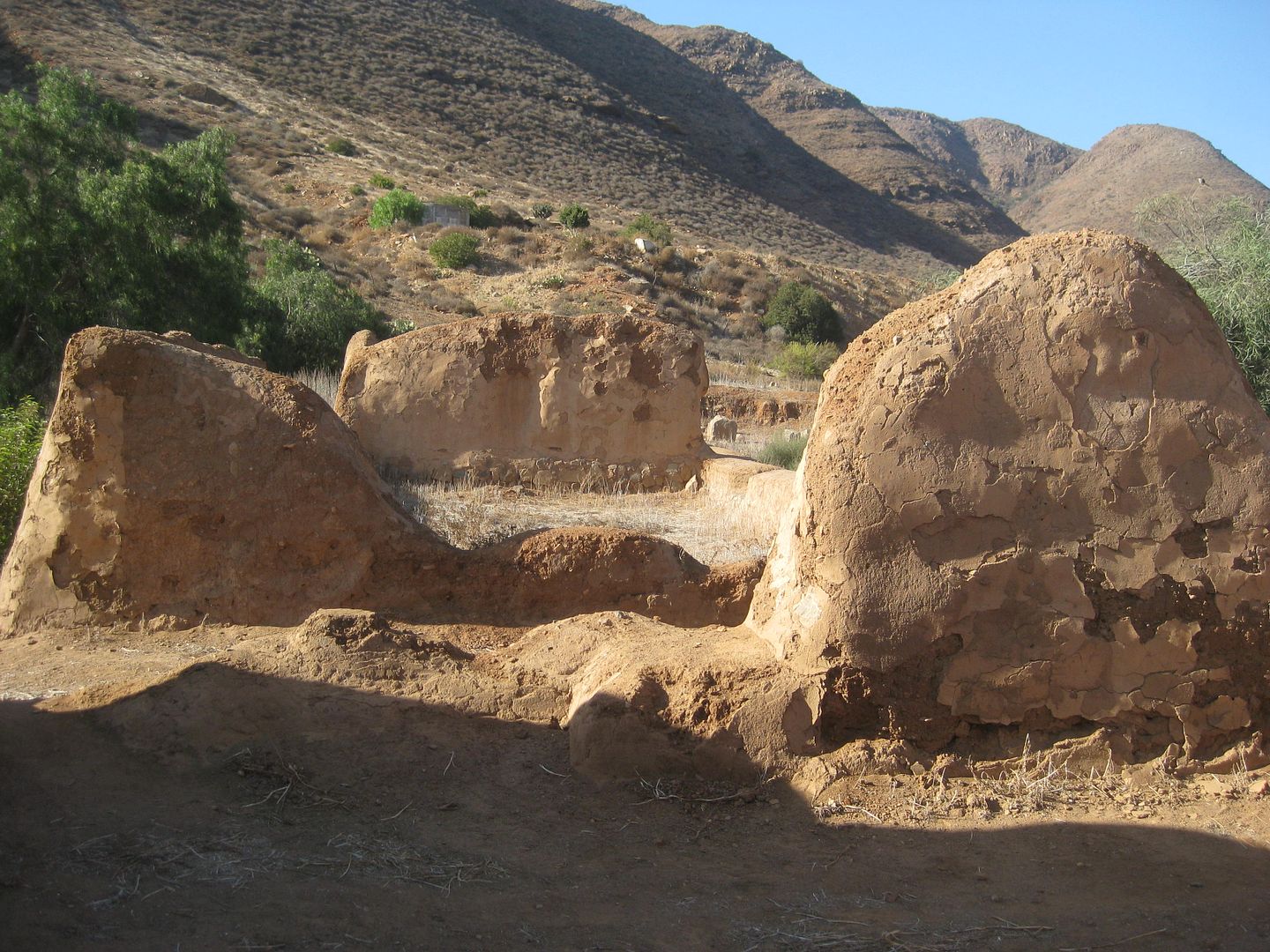
Km. 169+ Road left goes 4.6 miles to Mission Santo Domingo. This large mission was the second founded by the Dominican Order. The
first location (1775) was near the red hill at the entrance to the canyon. By 1798 the mission relocated to its final site.
More mission details are at www.vivabaja.com/bajamissions
The most, up-to-date, mission history is in my book: www.oldmissions.com
Santo Domingo is by Colonia Guerrero, north of San Quintín.
[Edited on 12-23-2017 by David K]
|
|
|
TMW
Select Nomad
      
Posts: 10659
Registered: 9-1-2003
Location: Bakersfield, CA
Member Is Offline
|
|
[Questions:
Border crossings (Chula Vista): On Sunday 1/7, we can cross anytime between 8am and 1pm. In regards to wait times/delays, does it matter when?
Return on Friday 1/12: We can cross anytime between 9:00am-Noon. Again, is there a preferred time to minimize delays?]
The San Ysidro crossing at the end of the I-5 and I-805 is open 24 hours. The times you indicated would be good for crossing.
[Edited on 12-23-2017 by TMW]
|
|
|
willardguy
Elite Nomad
     
Posts: 6451
Registered: 9-19-2009
Member Is Offline
|
|
hopefully the wave gods cooperate! you're not gonna find a whole lot of adventure in these neck of the woods....night time driving? if you're
comfortable driving at night in san diego you'll be comfortable here. have a great trip and i'll see you at Charly's Place!
[Edited on 12-23-2017 by willardguy]
|
|
|
|

