David K
Honored Nomad
        
Posts: 65383
Registered: 8-30-2002
Location: San Diego County
Member Is Offline
Mood: Have Baja Fever
|
|
The Baja Book (Tom Miller's guide from 1974 and Ginger Potter's from 1996)
1974:

1977:
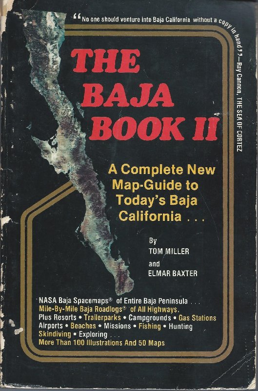
1987:
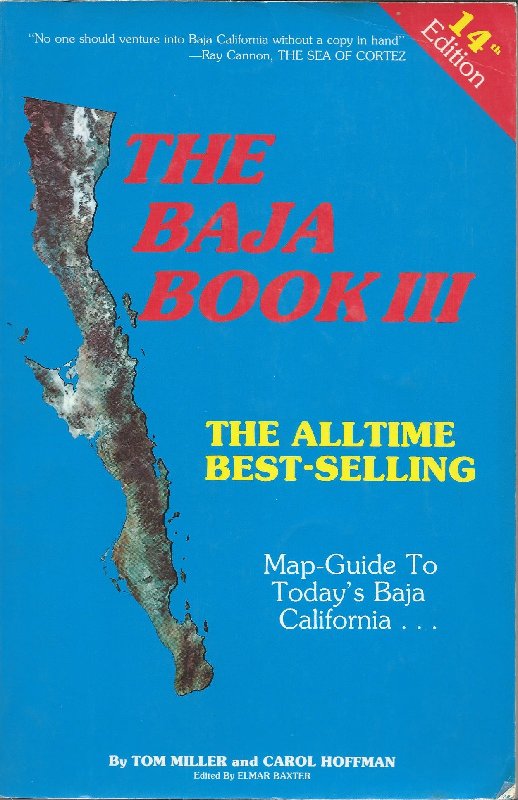
1992:
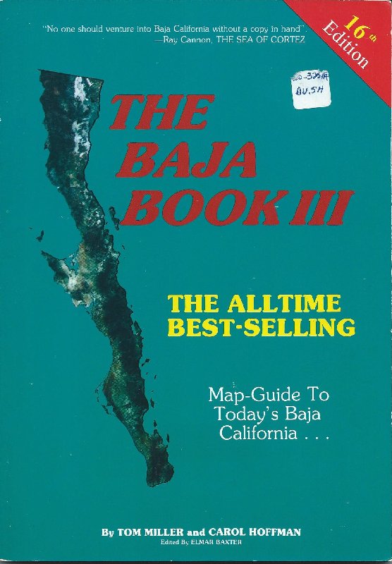
1996:
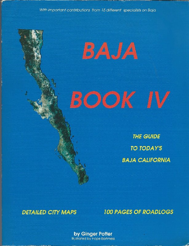
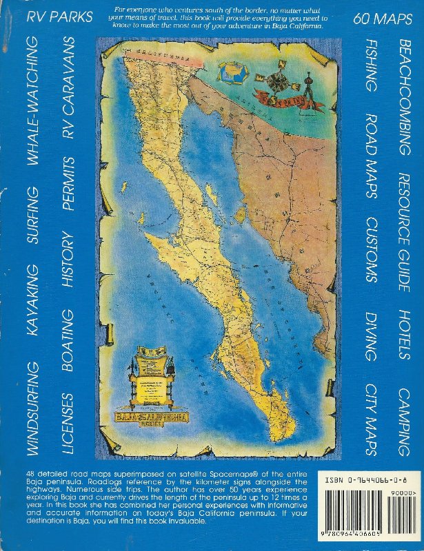
Ginger Potter was Mike McMahan's daughter. Mike is famous for the big, colorful Baja wall maps from 1967 to modern times and writing his own Baja book
(1973's hardback 'There It Is Baja!' and 1983's paperback 'Adventures in Baja'). Ginger married Chuck Potter and Chuck published and distributed Baja
books. Chuck published Jimmy Smith's book, 'The Grinning Gargoyle spills the beans...' in 2001.
Tom Miller was the fishing report editor for Western Outdoor News having replaced Ray Cannon. Gene Kira followed Tom Miller. All three wrote
well-known Baja books.
I had met (over the years) everyone of the above named personalities except Ginger. In Graham Mackintosh's first book, Into a Desert Place, Ginger was
the character Graham called 'Blondie' in Chapter 21.
[Edited on 7-2-2020 by David K]
|
|
|
David K
Honored Nomad
        
Posts: 65383
Registered: 8-30-2002
Location: San Diego County
Member Is Offline
Mood: Have Baja Fever
|
|
From 1974 to 1996... this was the most popular Baja driving guide, without a question. Good job Tom Miller!
|
|
|
vacaenbaja
Senior Nomad
  
Posts: 643
Registered: 4-4-2006
Member Is Offline
|
|
My Baja bible on my first trip down. That along with an incredibly detailed folding map that had the name of every little town, stream ruin, ranch in
Baja north and south along with topographical color shadings indicative of altitude. I cannot recall who made the map and it had since been lost. Best
folding map I had ever seen. I want to say that it was governmental .
|
|
|
David K
Honored Nomad
        
Posts: 65383
Registered: 8-30-2002
Location: San Diego County
Member Is Offline
Mood: Have Baja Fever
|
|
Quote: Originally posted by vacaenbaja  | My Baja bible on my first trip down. That along with an incredibly detailed folding map that had the name of every little town, stream ruin, ranch in
Baja north and south along with topographical color shadings indicative of altitude. I cannot recall who made the map and it had since been lost. Best
folding map I had ever seen. I want to say that it was governmental .
|
I presume it is not the popular AAA map... produced for over 50 years until 2010.
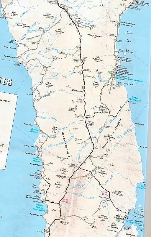
In 2008, National Geographic produced a giant folding map for Baja Norte and Baja Sur. Sadly, it lacked a lot of information... but was impressive.
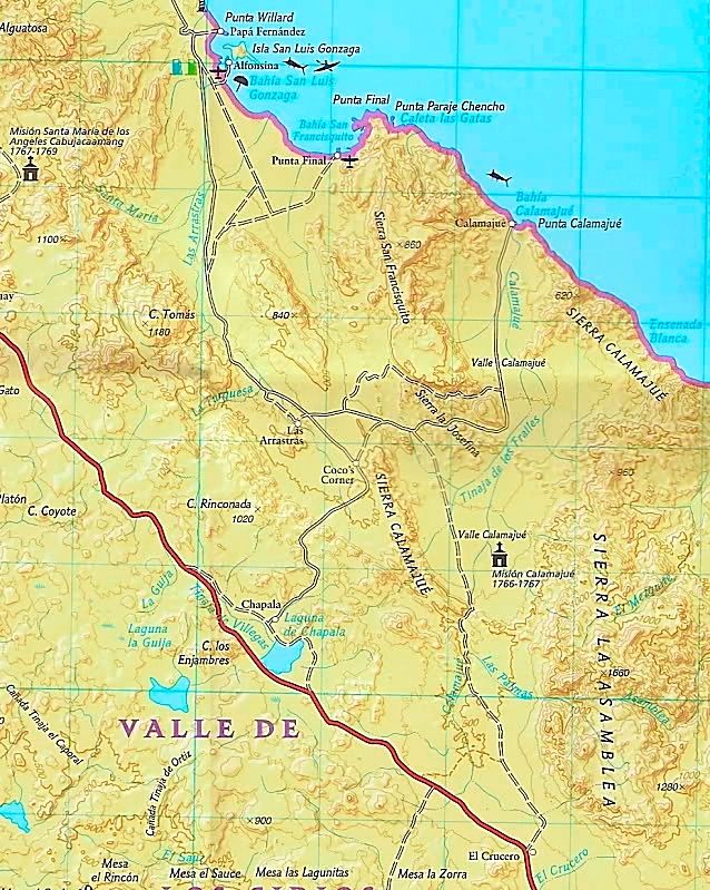
The next good folding map was the 2003 Baja Almanac folding map (it was sold along with the Almanac map book).
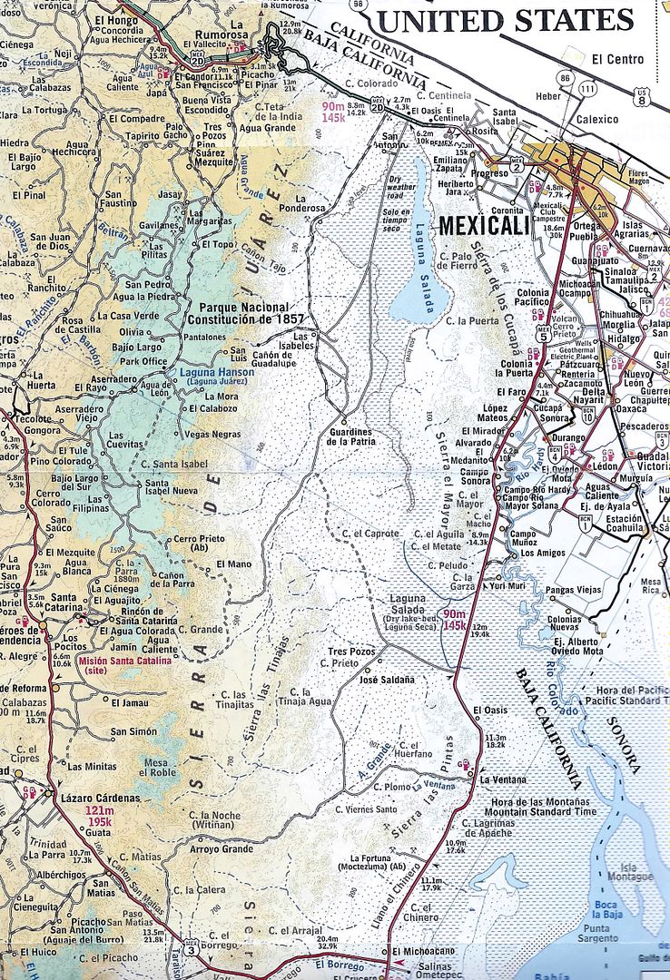
The next really good folding map came out of Canada in 1989 from ITM (International Travel Map), by Kevin Healey.
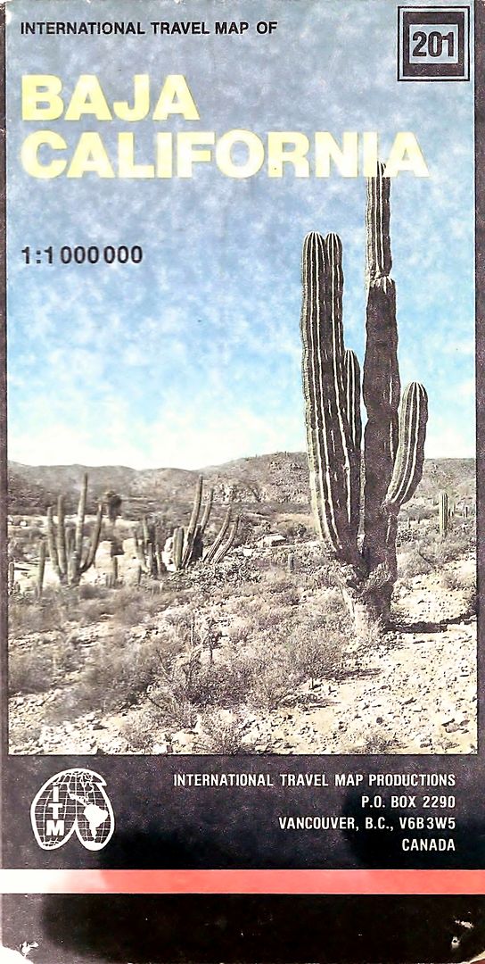
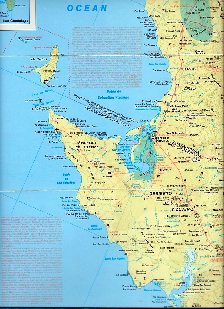
Pretty much most others were not accurate or contained many errors. I would love to know what map you are speaking of, thanks!
|
|
|
|

