David K
Honored Nomad
        
Posts: 65361
Registered: 8-30-2002
Location: San Diego County
Member Is Offline
Mood: Have Baja Fever
|
|
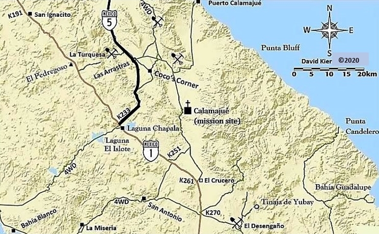
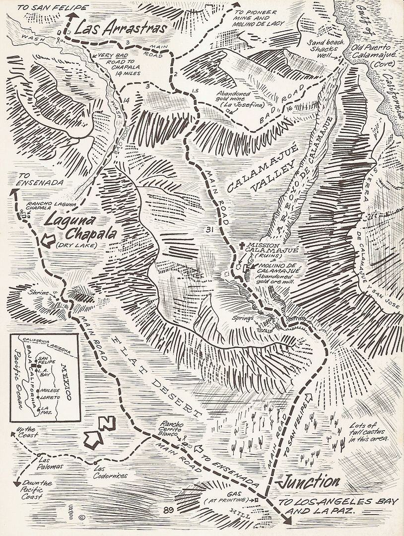
Las Arrastras de Arriola, Hwy. 5, Km. 179.5
I hope history won't be lost to time at these once famous Baja landmarks.
Before Coco had his corner, a few miles north was Las Arrastras.
Today it is where the new highway leaves the former route south to bypass Coco's in order to cut the distance to Laguna Chapala.
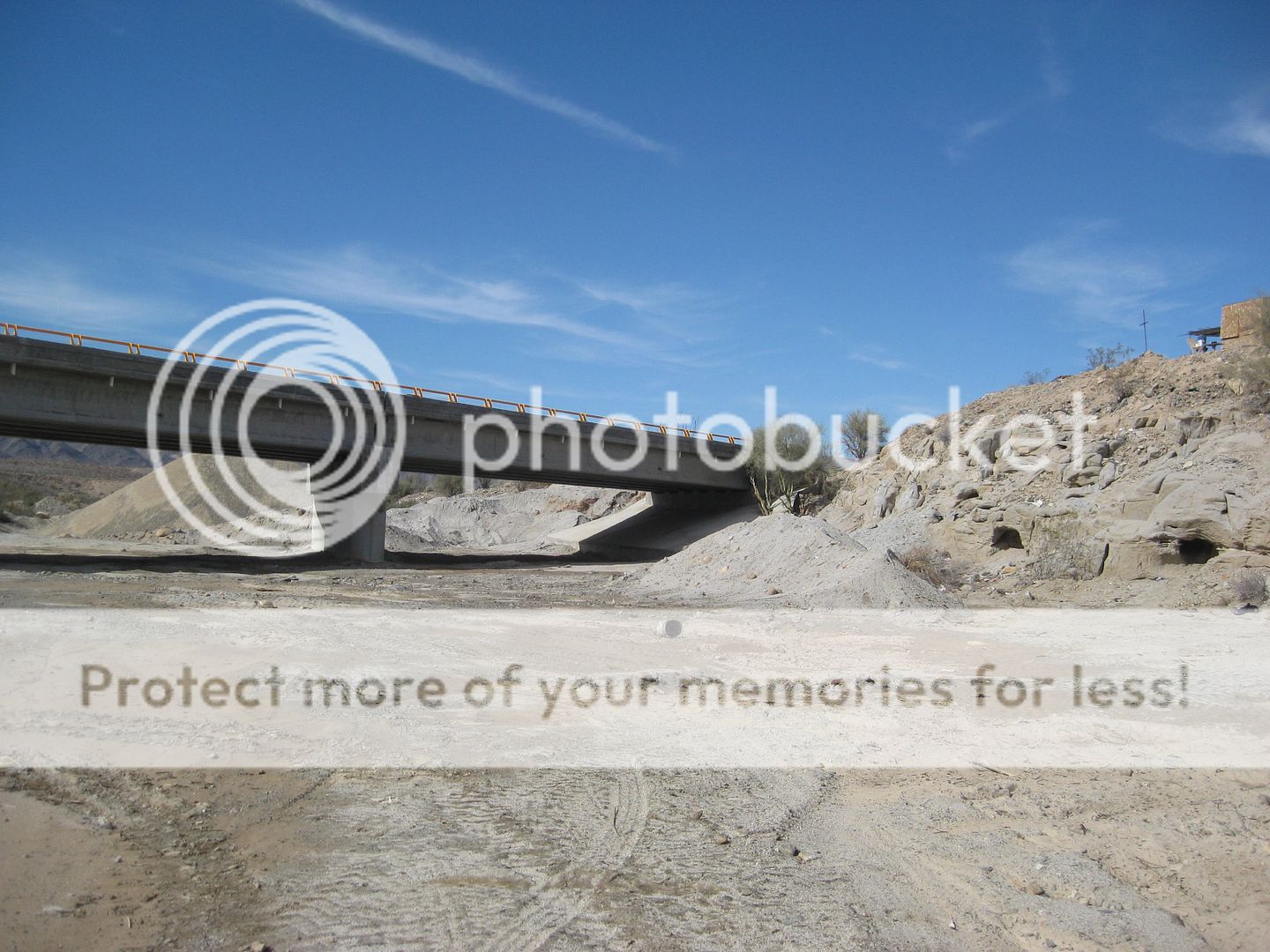
A new, large bridge goes over the Arroyo de San Francisquito here (renamed Arroyo Las Arrastras on the topo map), allowing one to gaze down to the
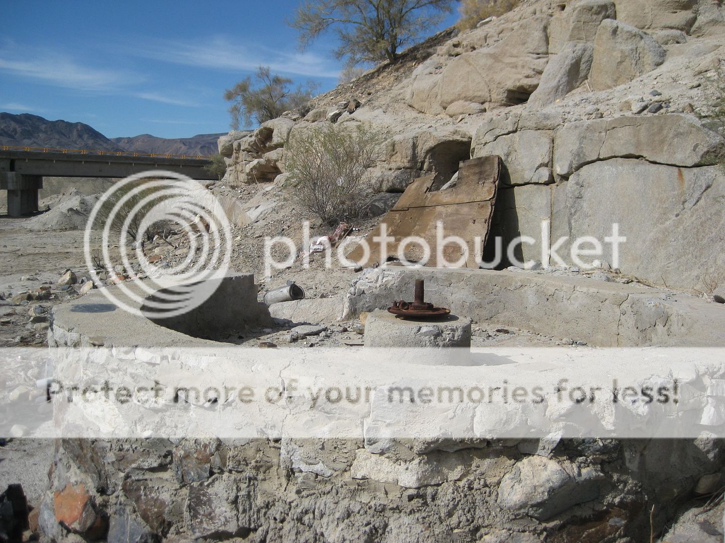
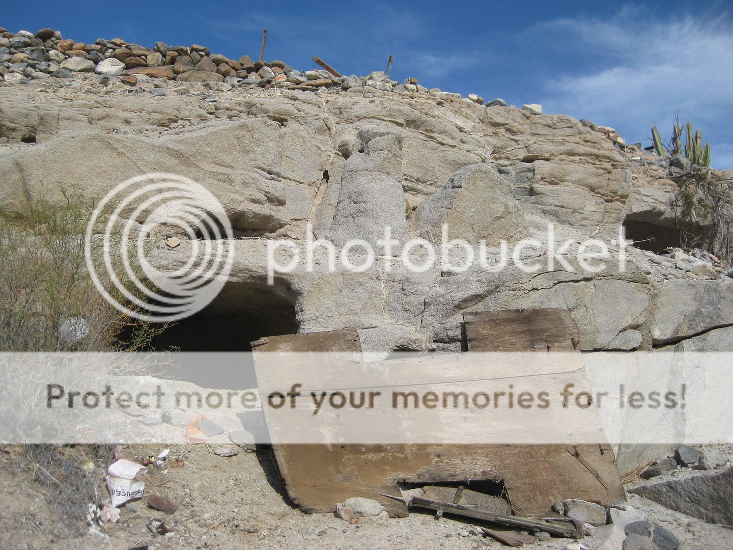
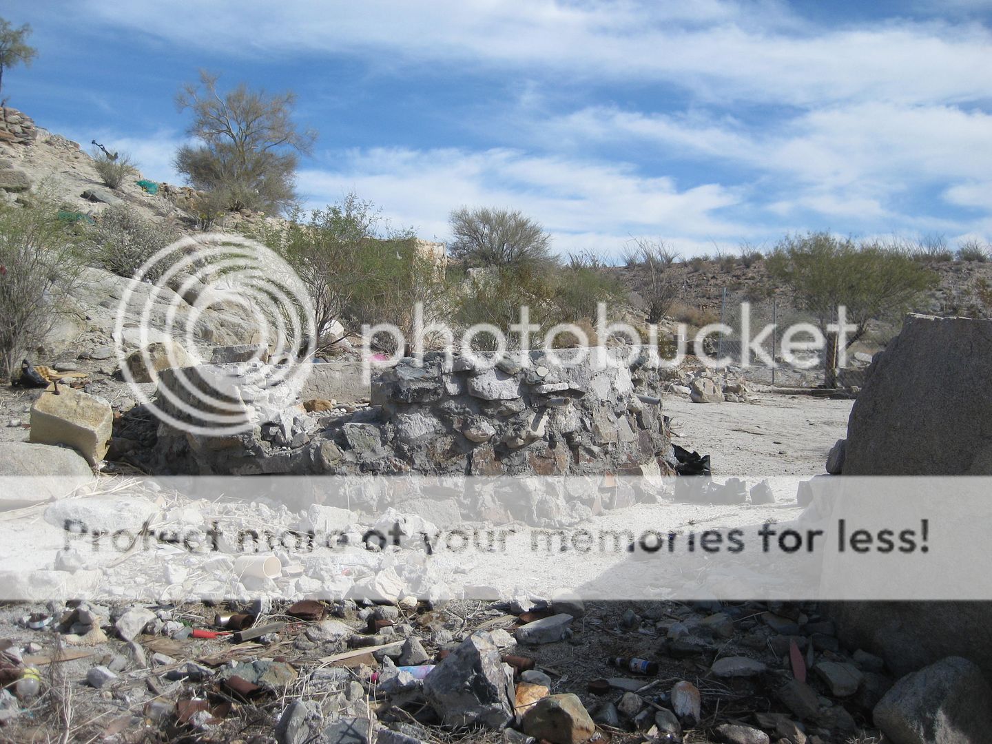
ruins at the base of the cliff. The large round artifact is the arrastra, a grinding mill to crush rock in order to pan out the gold. Usually a mule
or donkey would turn the arrastra.
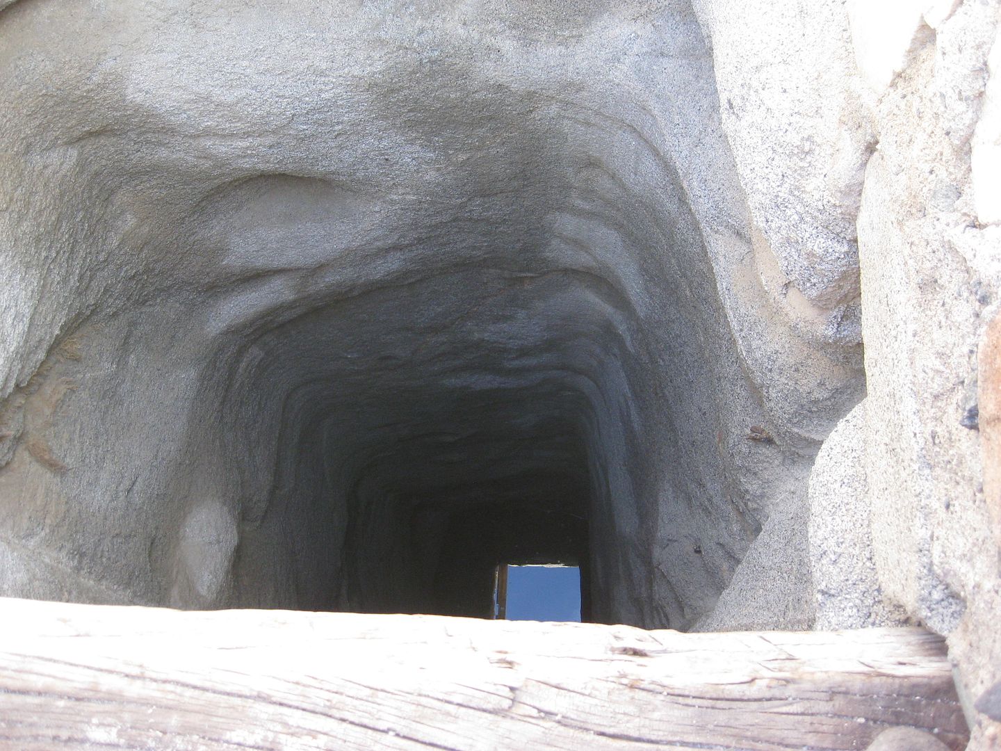
A well is next to the site providing plenty of good water for thirsty travelers, and to pan for gold.
There is a water hole, just downstream and around the bend, that was popularized by the missionaries in the late 1760s, who named it 'San
Francisco'... a name that was later modified to San Francisquito. The El Camino Real mission road from Loreto to San Diego passes through here. No
doubt, the Native California Cochimí people showed the Jesuits where water was and that helped create the route for the famous trail.
Las Arrastras was turned into a gold mill by the Grosso brothers (Arturo and Juan). They had a well-known baby sister named Anita... who we came to
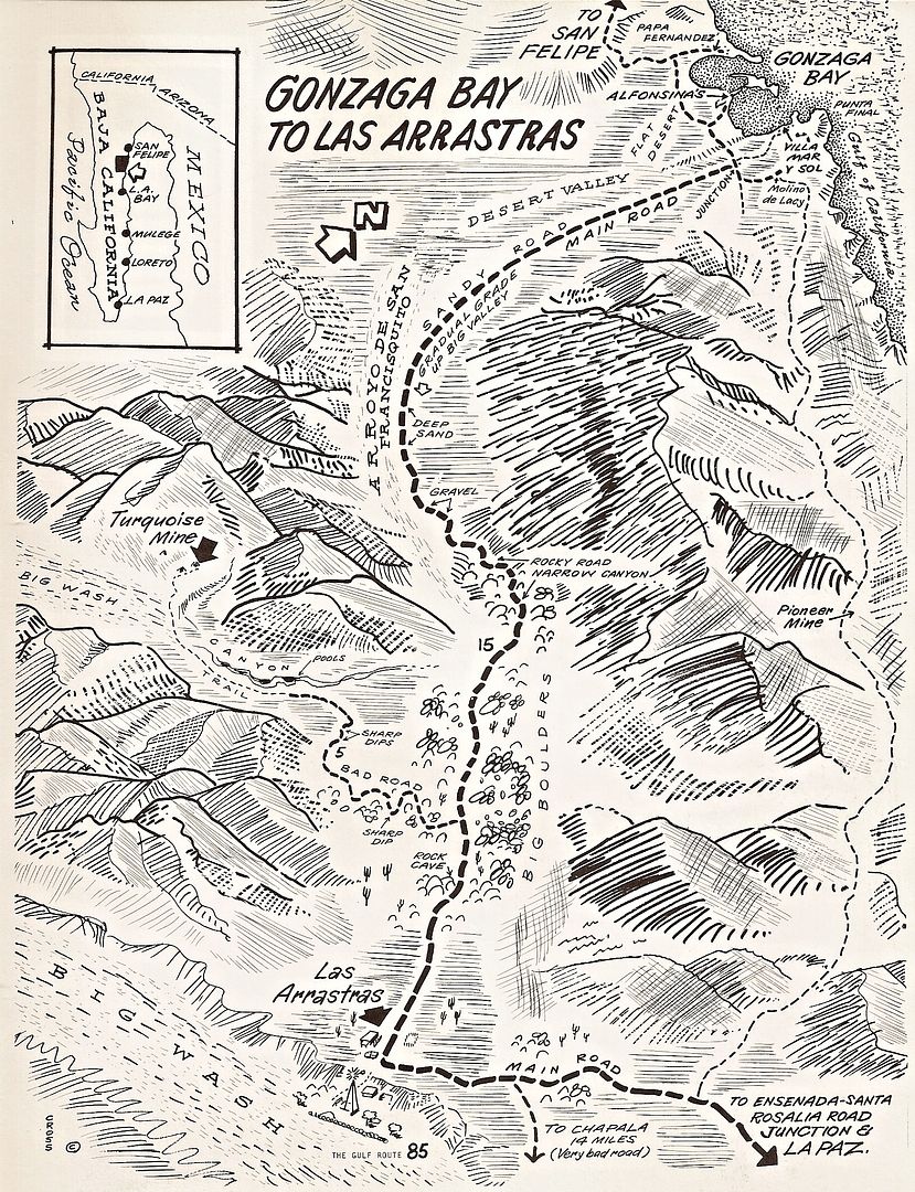
know as Mama Espinoza. In the 1950s, the first 4WD automobiles and trucks worked there way to the site and eventually a road was pushed over the
coastal mountains to Gonzaga Bay and on to the sulfur mine south of San Felipe, where a road going south of that town terminated.
In my early times traveling by, in the 70s, an old-timer was selling turquoise and other stones to passing gringos.
See my article on Las Arrastras for more: https://www.bajabound.com/bajaadventures/bajatravel/las_arra...
Photos of Las Arrastras taken in 2017 and 2018:
East side of the bridge:
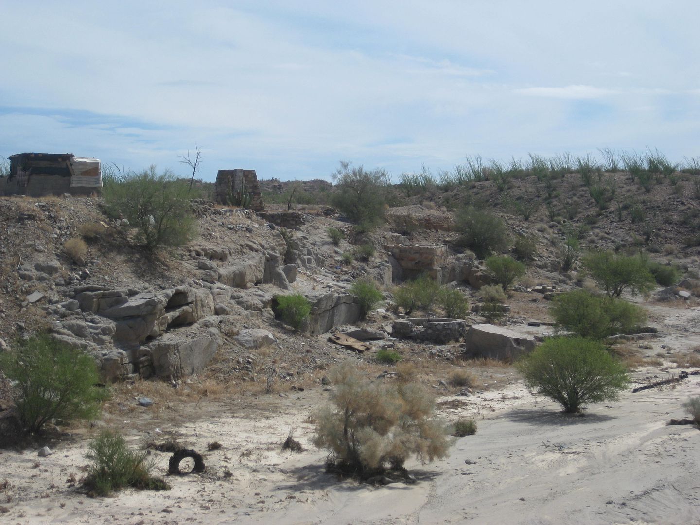
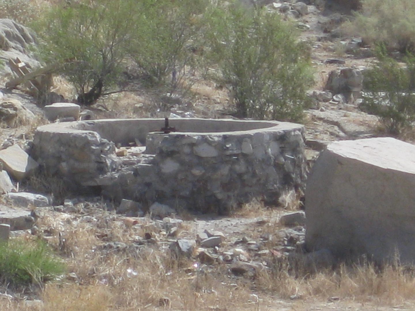
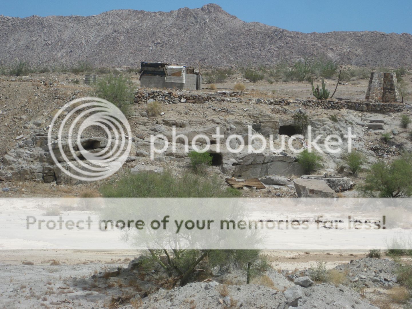
On the site, looking to the bridge:
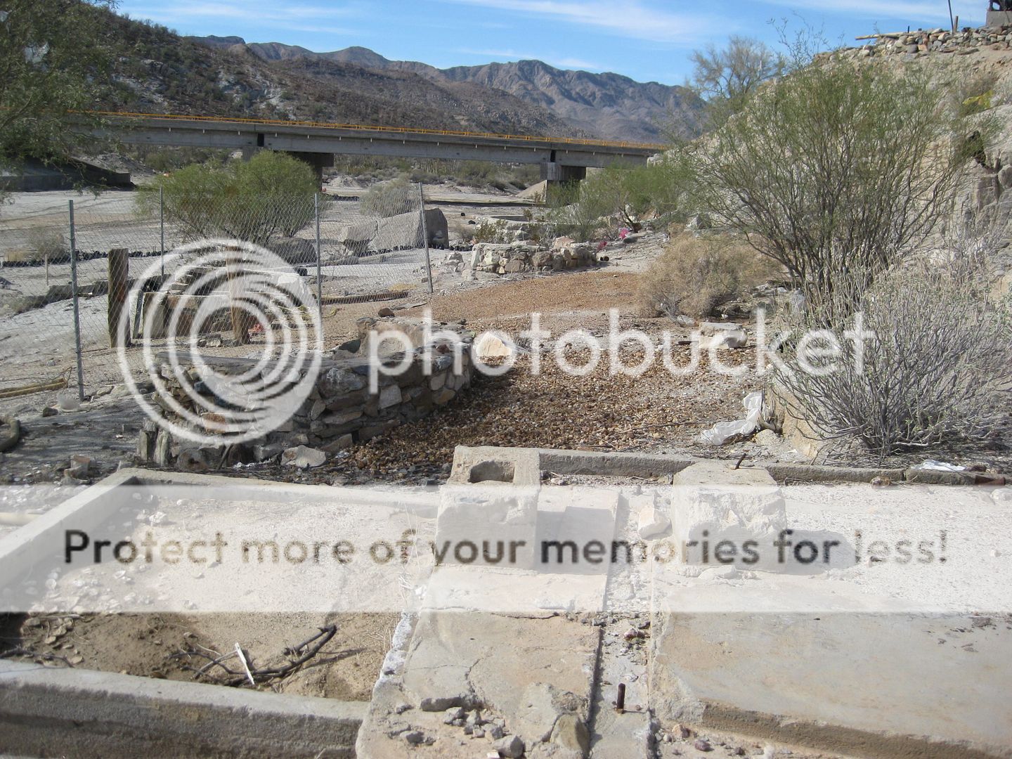
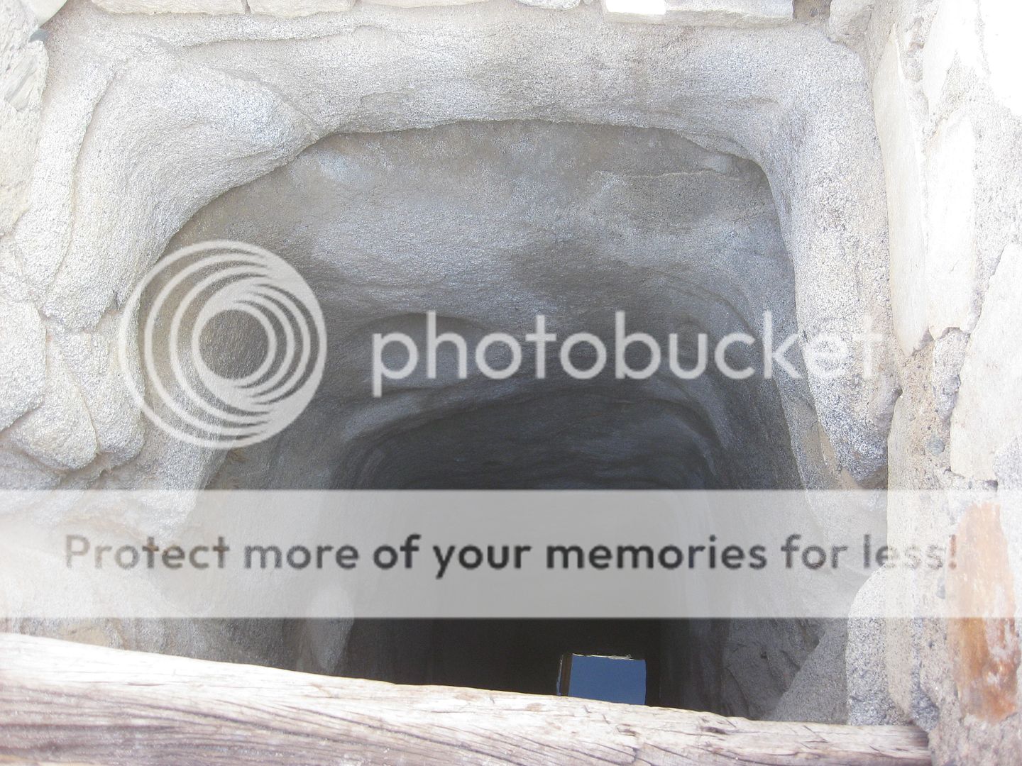
Down the well!
In 1970:
[The mission ruins are across the arroyo from where Cliff shows them]
Any other Nomads with Las Arrastras photos?
|
|
|
Barry A.
Select Nomad
      
Posts: 10007
Registered: 11-30-2003
Location: Redding, Northern CA
Member Is Offline
Mood: optimistic
|
|
Good stuff, David. Many thanks. Long ago (early '60's) I drove right past that site and didn't even know what was there.. Darn!!!
|
|
|
David K
Honored Nomad
        
Posts: 65361
Registered: 8-30-2002
Location: San Diego County
Member Is Offline
Mood: Have Baja Fever
|
|
Quote: Originally posted by Barry A.  | | Good stuff, David. Many thanks. Long ago (early '60's) I drove right past that site and didn't even know what was there.. Darn!!!
|
Hi Barry, I hope you are holding up well, up there in God's Country!
The site was pretty major, back in the day... I don't remember my folks stopping there on our first trip past it (1967) but I do know I stopped to see
what the old guy was selling on at least one trip later (I drove that road in '74, '75, '79, and then '83). I think it was the '79 trip?
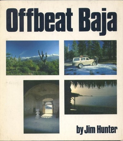
Jim Hunter sure describes that place in detail in his book... Great reading about Baja from 1977:
|
|
|
Pablito1
Junior Nomad

Posts: 68
Registered: 4-24-2011
Member Is Offline
|
|
Many thanks for the good post. Over the years I have stopped there a few times but had no idea as to it's history. Back in the 1960s-70s that is where
they brought the drinking water for the Papa Fernandez camp in San Luis Gonzaga.
|
|
|
David K
Honored Nomad
        
Posts: 65361
Registered: 8-30-2002
Location: San Diego County
Member Is Offline
Mood: Have Baja Fever
|
|
Quote: Originally posted by Pablito1  | Many thanks for the good post. Over the years I have stopped there a few times but had no idea as to it's history. Back in the 1960s-70s that is where
they brought the drinking water for the Papa Fernandez camp in San Luis Gonzaga.
|
Glad you liked that. I hope others share as you have!
Interesting as that is a long ways to get water, about 20 miles! I assumed that Papa used the well (Pozo de los Frailes) in the arroyo just north of
his camp? Perhaps it wasn't always reliable? Punta Final used Las Palmitas oasis, against the mountain to the west.
|
|
|
Pablito1
Junior Nomad

Posts: 68
Registered: 4-24-2011
Member Is Offline
|
|
The well Pozo de los Frailes is to salty for drinking and the Fernandez family only used it for animals and general water usage. To my knowledge the
drinking water came from San Felipe or Las Arrastras. That is the only places that I remember them talking about.
On the subject of Las Palmas probably the reason they didn't get water from there is because back then there were few 4 wheel drives and wide tires so
it was a hassle to get a truck into that location because of the sand.
One time, probably about 1969-70 Tito Fernandez and me made a trip to Las Palmas. It was quite a trip in my Ford half ton 2 wheel drive. We were
checking on some cows that he had in the area and also looking for a wild sheep head that a cat had killed. We found the cows but never did find the
sheep.
|
|
|
PaulW
Ultra Nomad
    
Posts: 3113
Registered: 5-21-2013
Member Is Offline
|
|
DK,
thanks for the pics
Coords on the bridge wher you took a Pic?
|
|
|
David K
Honored Nomad
        
Posts: 65361
Registered: 8-30-2002
Location: San Diego County
Member Is Offline
Mood: Have Baja Fever
|
|
Didn't you post them? I recall you have Km. 180 in the middle of the bridge. I did not record any GPS waypoints.
I can estimate it with Google Earth, if you want...
29° 32.881'N, 114° 20.412'W 
|
|
|
David K
Honored Nomad
        
Posts: 65361
Registered: 8-30-2002
Location: San Diego County
Member Is Offline
Mood: Have Baja Fever
|
|
Quote: Originally posted by Pablito1  | The well Pozo de los Frailes is to salty for drinking and the Fernandez family only used it for animals and general water usage. To my knowledge the
drinking water came from San Felipe or Las Arrastras. That is the only places that I remember them talking about.
On the subject of Las Palmas probably the reason they didn't get water from there is because back then there were few 4 wheel drives and wide tires so
it was a hassle to get a truck into that location because of the sand.
One time, probably about 1969-70 Tito Fernandez and me made a trip to Las Palmas. It was quite a trip in my Ford half ton 2 wheel drive. We were
checking on some cows that he had in the area and also looking for a wild sheep head that a cat had killed. We found the cows but never did find the
sheep. |
What a great story and makes good sense.
I am surprised that the Frailes well was salty as it is well inland from the sea and in the big arroyo. Maybe minerals down there, as the onyx springs
are all over the region?!
Have you been up the the big white "glacier" area (west of Rancho Grande Market) on the hillside?
|
|
|
PaulW
Ultra Nomad
    
Posts: 3113
Registered: 5-21-2013
Member Is Offline
|
|
I posted the GPS turn off hwy 5 and did not recognize the location of the ruins. I was concentrating on the GPS. In fact I do not even acknowledge
there was a bridge.
Km180 is 0.5 km south of the turn to old Hwy5. That bridge must be about km179.5 slightly south of that turn to old Hwy5.
Next time I drive Hwy5 I will stop and have a look at the ruins.
Thanks for the reminder.
Quote: Originally posted by David K  |
Didn't you post them? I recall you have Km. 180 in the middle of the bridge. I did not record any GPS waypoints.
I can estimate it with Google Earth, if you want...
29° 32.881'N, 114° 20.412'W  |
|
|
|
Pablito1
Junior Nomad

Posts: 68
Registered: 4-24-2011
Member Is Offline
|
|
David, in answer to your question about the "glacier" behind Rancho Grande is no I have never been there. Regards
|
|
|
David K
Honored Nomad
        
Posts: 65361
Registered: 8-30-2002
Location: San Diego County
Member Is Offline
Mood: Have Baja Fever
|
|
Paul, after your trip geoffff recorded the road with his amazing GPS and GoPro combo which confirmed your Km. notes and his Km. 180 (as I recall) was
in the center of the long bridge.
Pablito1, do you know about the onyx (soda) spring? From the beach at Rancho Grande, you can see the white "glacier". Many years ago, my son and I
searched the way to get to it. You take a road from the Rancho Grande Market/ tire shop and head west. It soon turns north and drops down into an
arroyo which winds to the south. The first right track you come to after heading south leads to the onyx spring. There were even large pieces of onyx
laying about. That was in 2002. You can see it easily on Google Earth as a really big white field just inland from Rancho Grande.
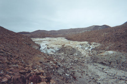
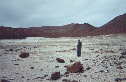
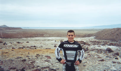
I first read about it in the January 1959 issue of Desert Magazine (page 9): http://swdeserts.com/index_htm_files/195901-DesertMagazine-1...
|
|
|
ehall
Super Nomad
   
Posts: 1906
Registered: 3-29-2014
Location: Buckeye, Az
Member Is Offline
Mood: It's 5 o'clock somewhere
|
|
On a trip a few years ago they had a pump set up and were using water out of the well.
Coco told my riding buddies it was haunted. They freaked out when we stopped to check it out and 1 of the bikes just mysteriously fell over.
|
|
|
David K
Honored Nomad
        
Posts: 65361
Registered: 8-30-2002
Location: San Diego County
Member Is Offline
Mood: Have Baja Fever
|
|
Quote: Originally posted by ehall  | On a trip a few years ago they had a pump set up and were using water out of the well.
Coco told my riding buddies it was haunted. They freaked out when we stopped to check it out and 1 of the bikes just mysteriously fell over.
|
Great story!
Yes, the highway construction company used the well water.


Here it was in July 2015... The portable diesel pump generator was just to the side... Notice the dust in the distance from the highway construction.
|
|
|
David K
Honored Nomad
        
Posts: 65361
Registered: 8-30-2002
Location: San Diego County
Member Is Offline
Mood: Have Baja Fever
|
|
Telephoto:

|
|
|
Pablito1
Junior Nomad

Posts: 68
Registered: 4-24-2011
Member Is Offline
|
|
David, I know about the onyx spring but have never been there. I think that I know about it possibly from some of your photos years ago.
|
|
|
David K
Honored Nomad
        
Posts: 65361
Registered: 8-30-2002
Location: San Diego County
Member Is Offline
Mood: Have Baja Fever
|
|
Quote: Originally posted by Pablito1  | David, I know about the onyx spring but have never been there. I think that I know about it possibly from some of your photos years ago.
|
Very cool... the only photos I took there (3) are again posted above ^^^
I would like to go back... It is so close to the market, I don't know why I haven't since 2002... Oh wait, yes I do know why: "So much Baja, so little
time!"
  
|
|
|

