David K
Honored Nomad
        
Posts: 65435
Registered: 8-30-2002
Location: San Diego County
Member Is Offline
Mood: Have Baja Fever
|
|
Baja Bound Road Guide (Part 2: Mexicali to Laguna Chapala)
This is another section of the pre-publication version of my road guide... The latest version does include the newer border crossing and Coco's bypass
of Hwy. 5.
The guide was to have been published for this summer (last June). Covid-19 and the travel restrictions put a hold on it.
For your armchair travel enjoyment... Here are the pages I made as a base for the final product (which will look much nicer).
I begin with my introduction to these pages from 2018:
To show you part of what I have worked so hard on the past two years, BajaGeoff consented to let me show some of the guide work that will someday be
published.
While the format may change, as it is now, I have the guide broken into six parts:
1) Tijuana to San Quintín (also Hwy. 3 and Observatory Road)
2) Mexicali to Laguna Chapala (also Hwy. 2, across to San Vicente, and Valle Chico)
3) San Quintín to Guerrero Negro (also Bahía de los Angeles and to San Francisquito and the Seven Sisters coast road)
4) Guerrero Negro to San Ignacio (also to El Arco/ El Barril, to Bahía Tortugas/ Asunción, and to Punta Abreojos and on to Asunción, to Laguna San
Ignacio, San Juanico, Cd. Insurgentes)
5) San Ignacio to Loreto (also Mulegé to Mission Guadalupe, to San Javier, Comondú, La Purísima, and back east to Hwy. 1)
6) Loreto to Cabo San Lucas (also to San Luis Gonzaga, San Evaristo, to Ensenada de los Muertos, Todos Santos, Los Barriles, Tecolote)
I have shared some pages before in the thread on my maps and there has been some updating since.
Anyway, I hope you enjoy my work and know that with any guide, it is only accurate the day it was researched! The good news is that I designed this to
be easily updated, revised, added to by me or anyone who takes up the job...
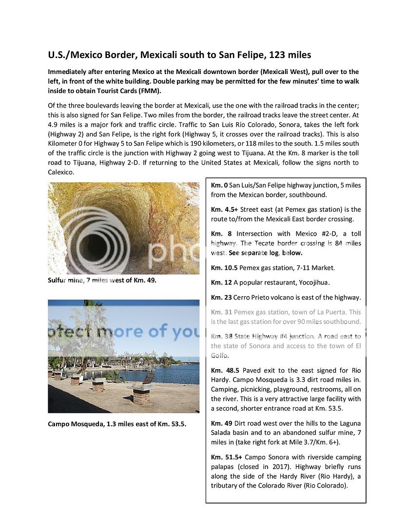
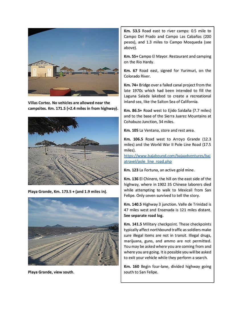
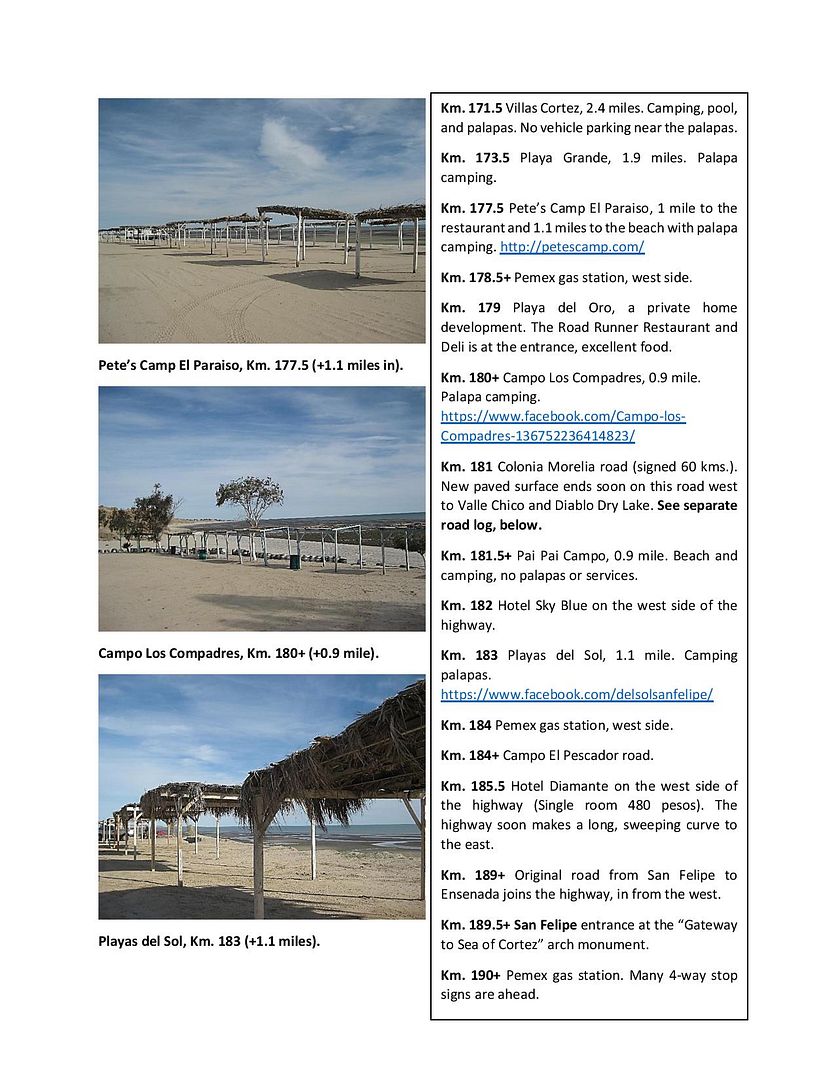
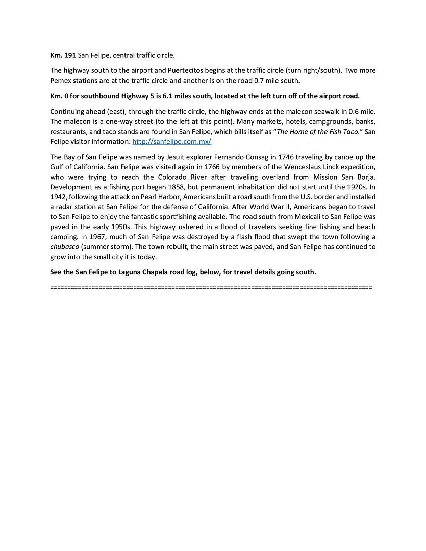
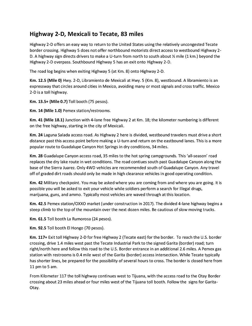
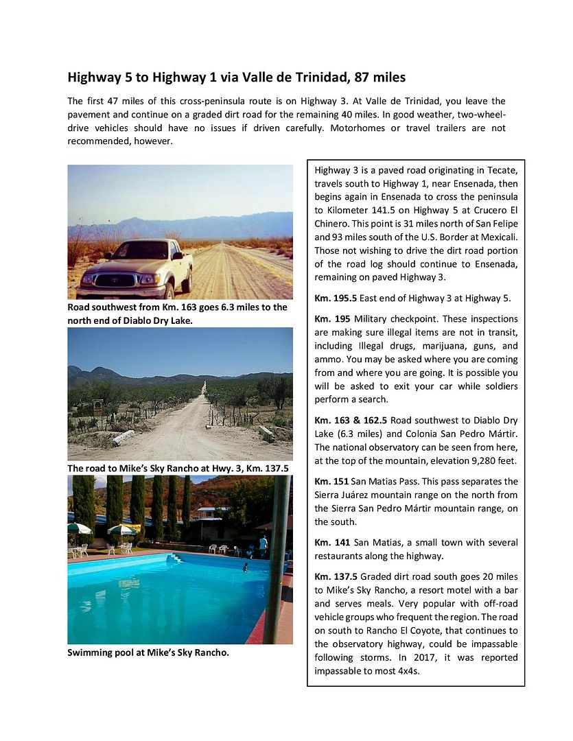
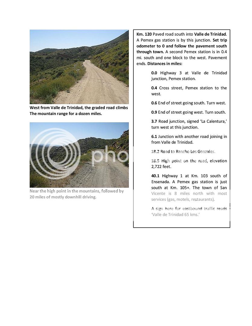

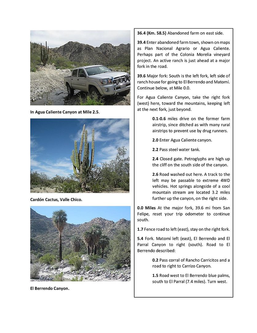
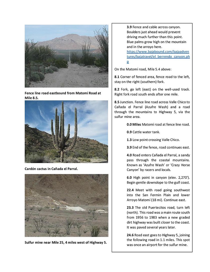
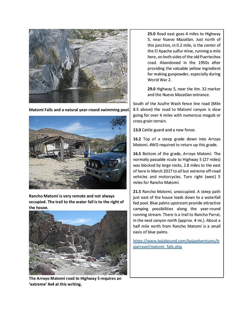
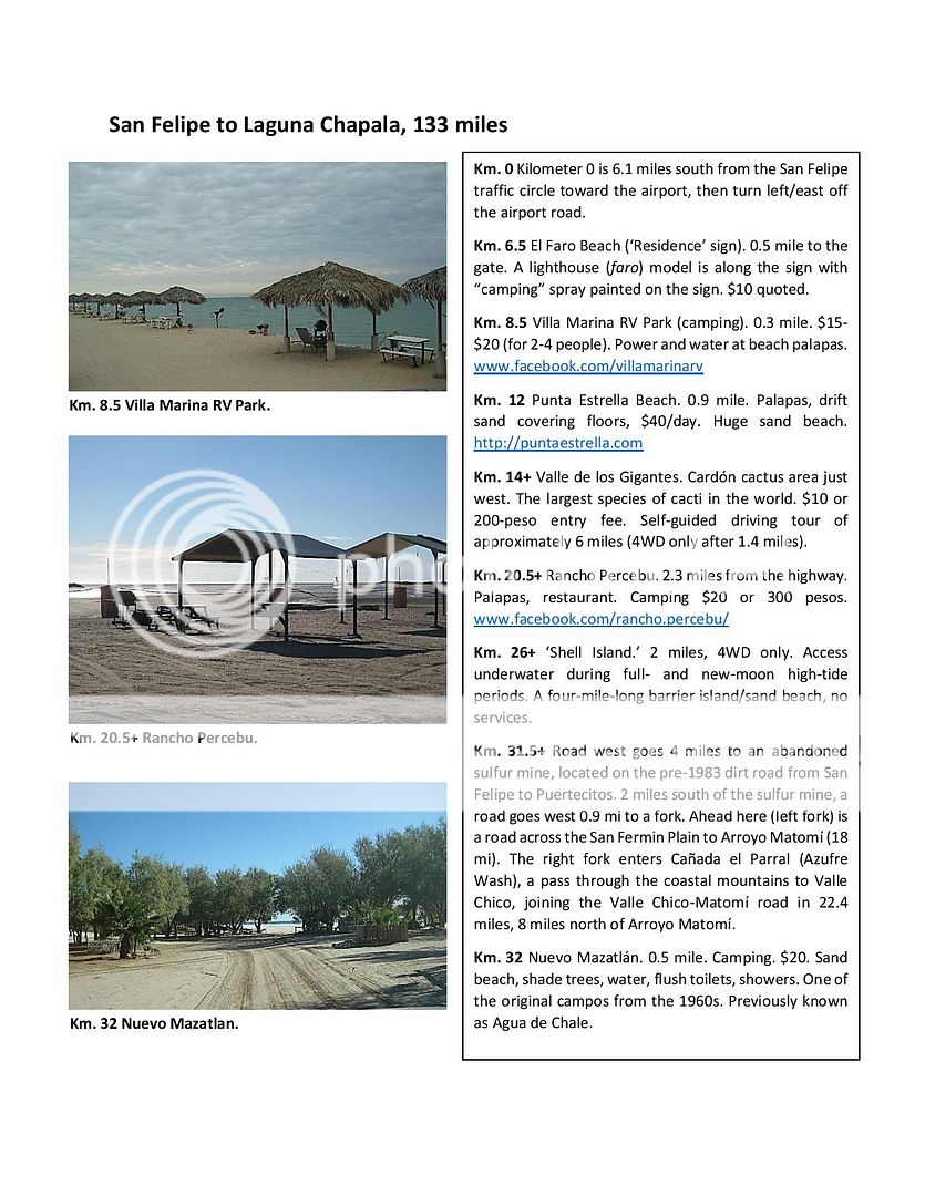
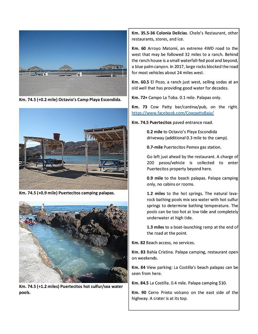
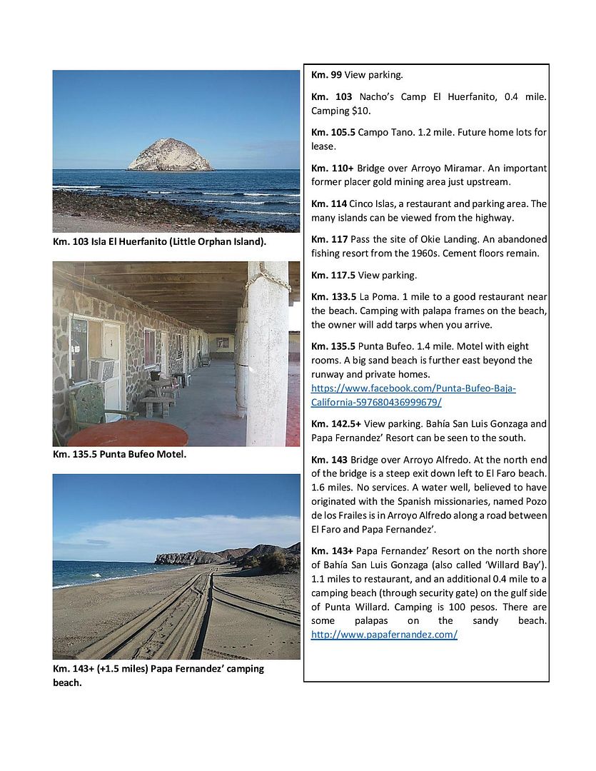
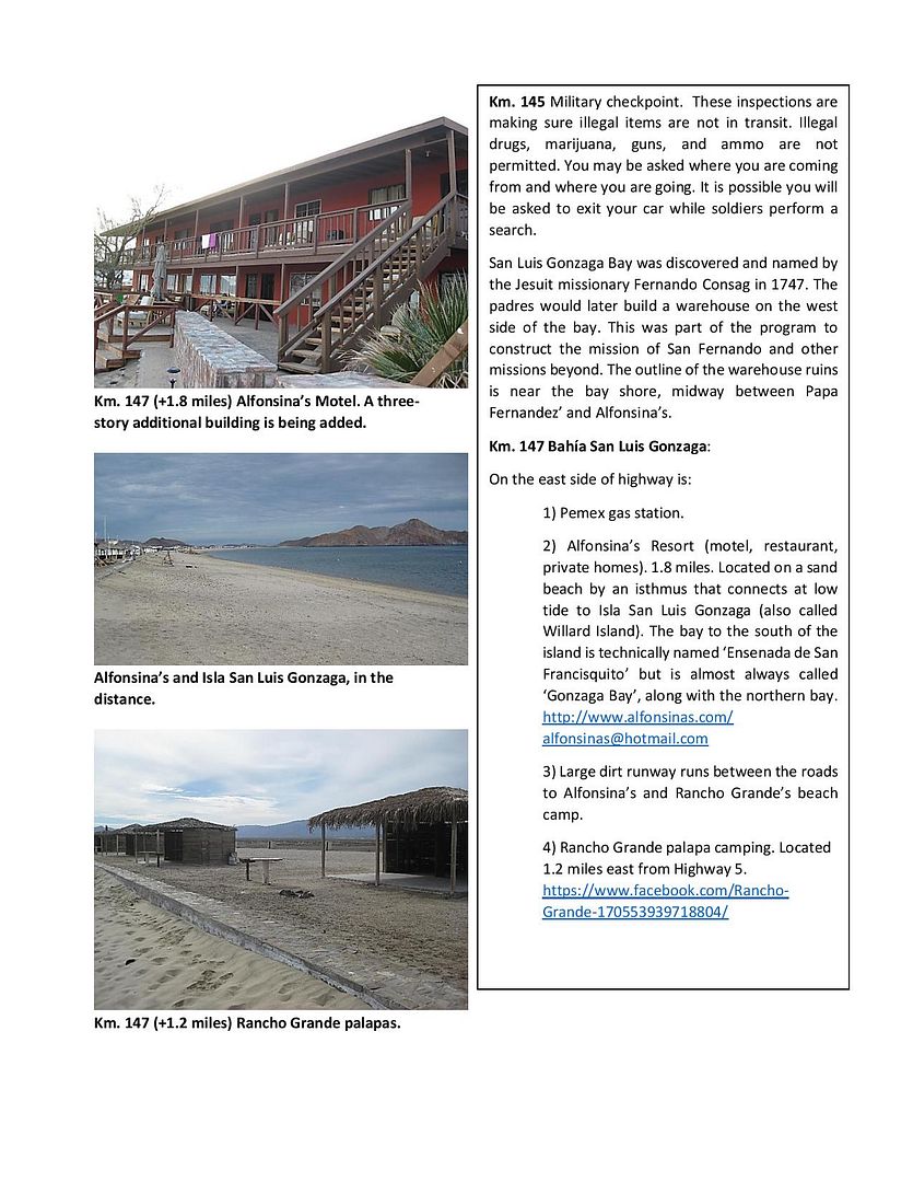
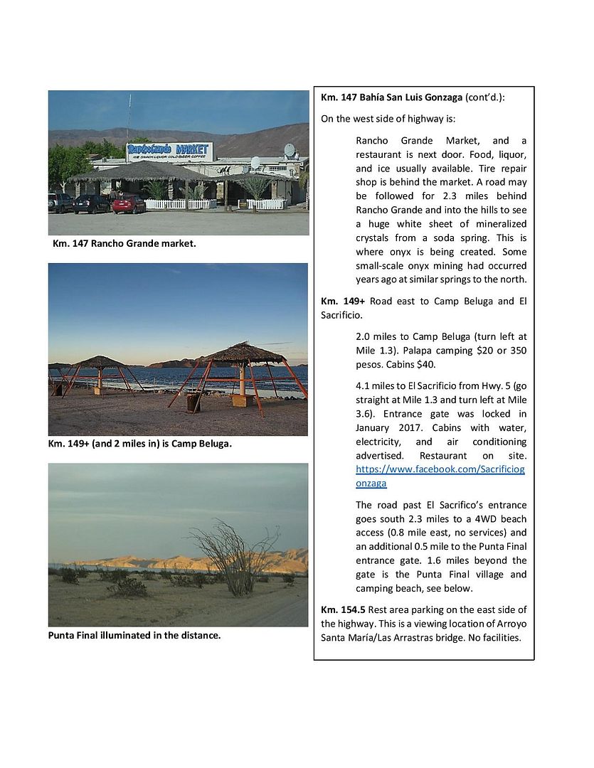
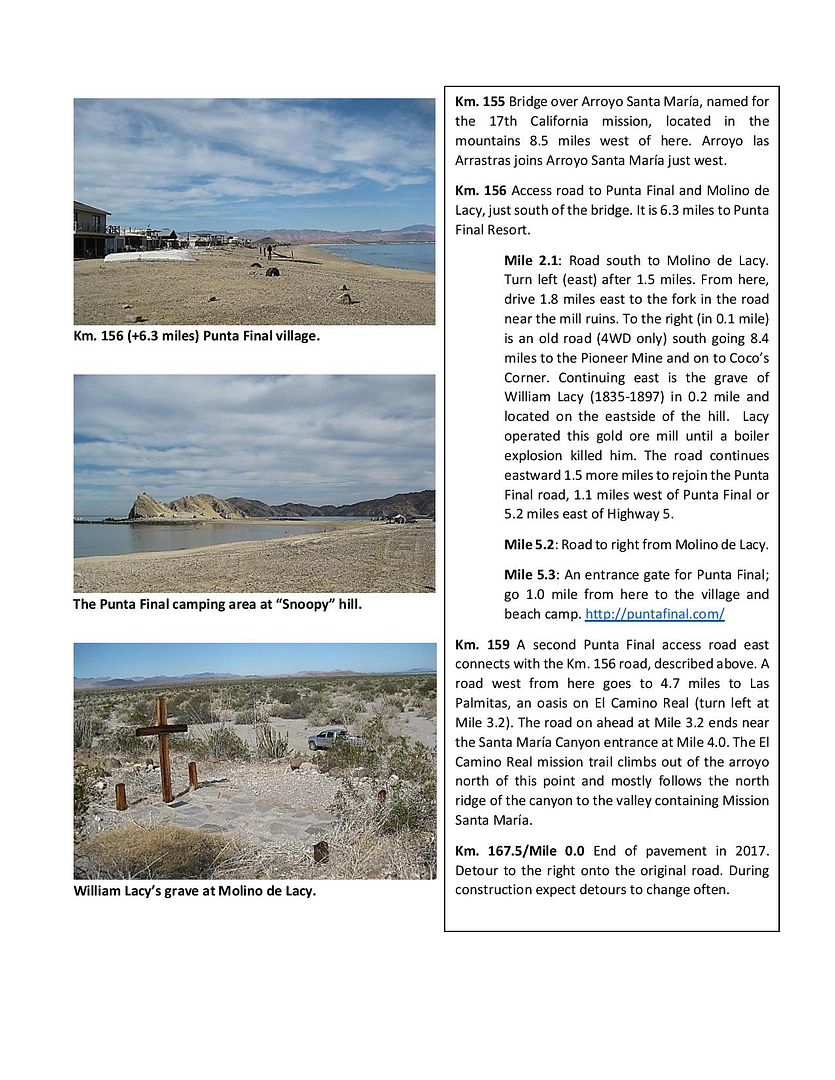
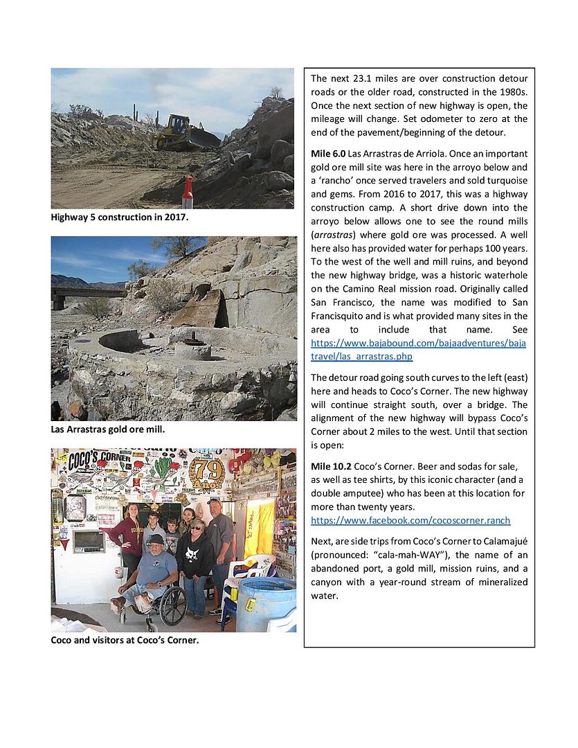
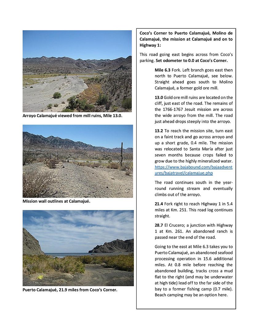
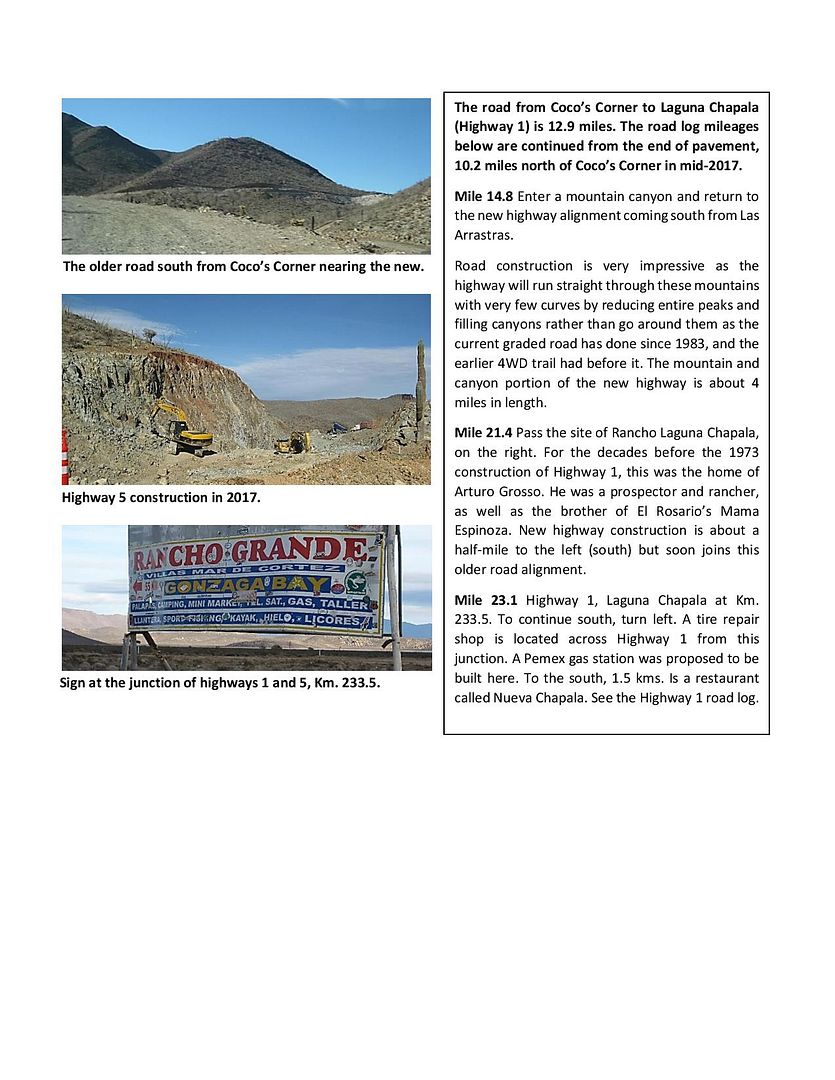
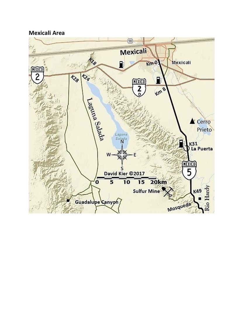
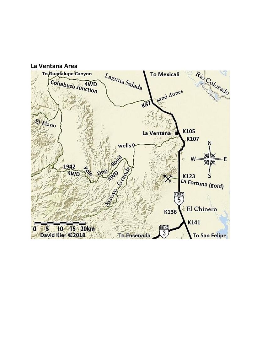
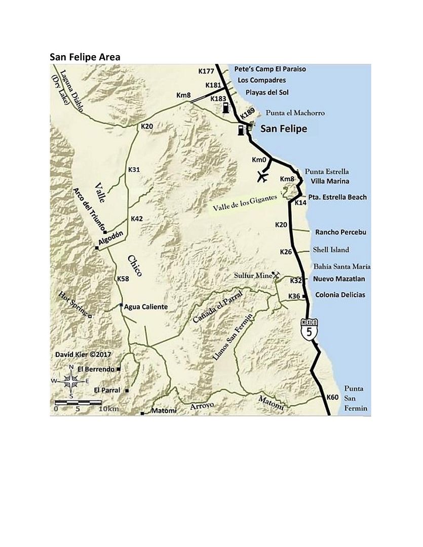
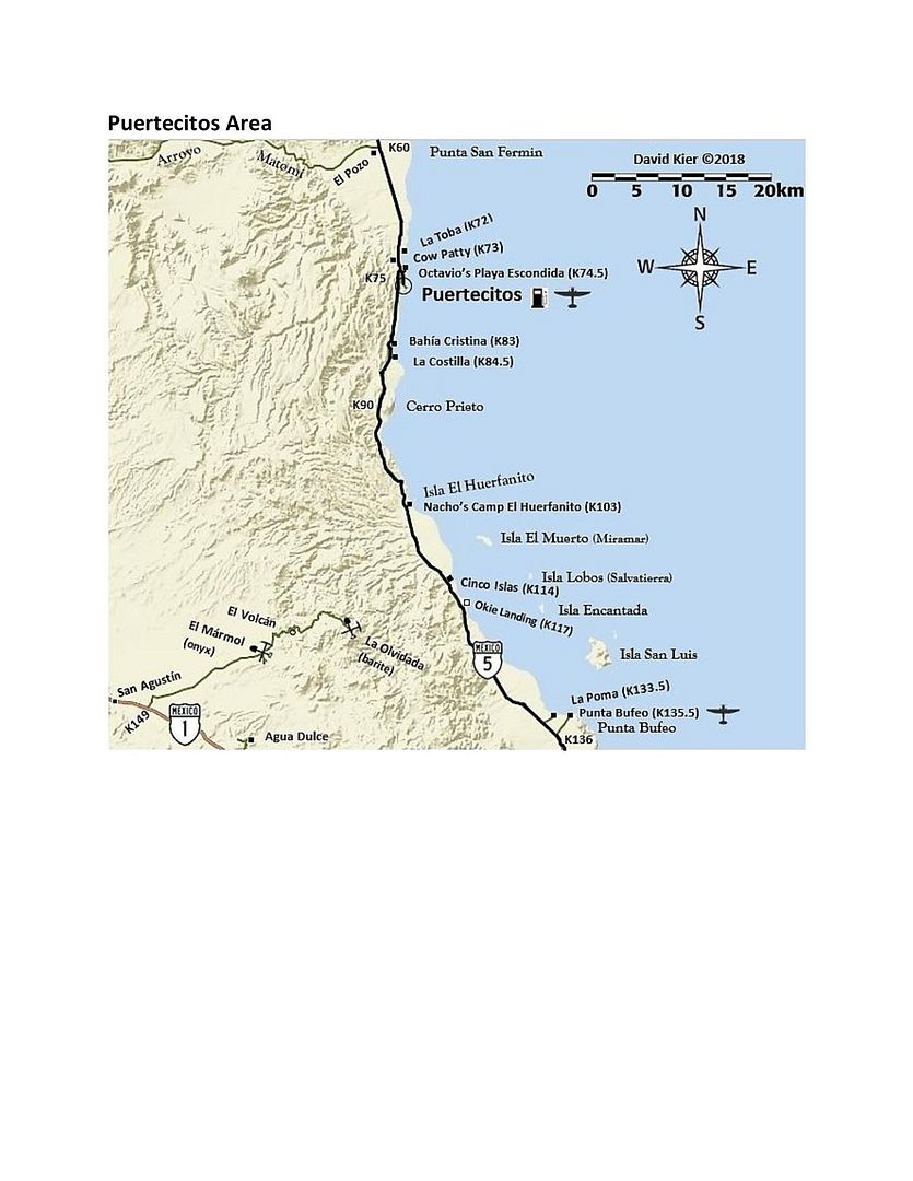
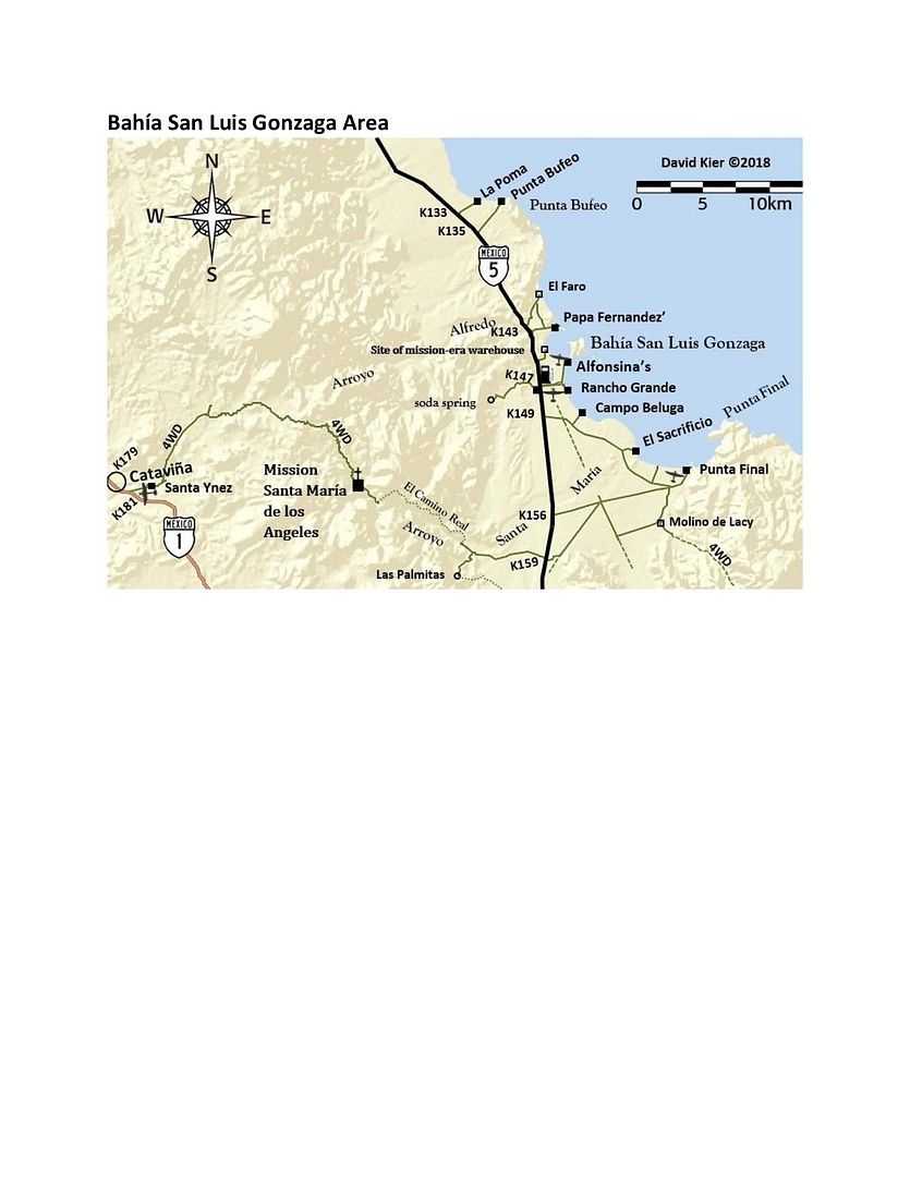
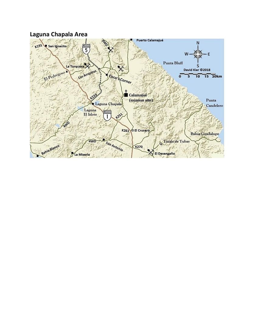
NOTE: the guide and maps were made in 2018. The newest version has updated data to cover the completion of Hwy. 5.
|
|
|
bajamary1952
Nomad
 
Posts: 204
Registered: 9-29-2016
Location: Ensenada
Member Is Offline
|
|
Thanks for all your info & updates. Since most of the regular maps are crappy nice to know someone provides useful information.
|
|
|
David K
Honored Nomad
        
Posts: 65435
Registered: 8-30-2002
Location: San Diego County
Member Is Offline
Mood: Have Baja Fever
|
|
My pleasure, Mary!
I have always enjoyed recording my travel details (mileages, times, etc.) and sharing them is just one way I can help others find a Baja adventure.
All my research trip reports (with photos) are on Baja Nomad and Tacoma World forums. Links to find the 8 research trips are in my website www.vivabaja.com
Specifically here: http://www.vivabaja.com/Tacoma_Travels/
[Edited on 9-6-2020 by David K]
|
|
|
David K
Honored Nomad
        
Posts: 65435
Registered: 8-30-2002
Location: San Diego County
Member Is Offline
Mood: Have Baja Fever
|
|
Nothing much to report, at best the guide will be published when travel bans are lifted and people are buying as much Mexican auto insurance as they
used to. Parts 2, 3, 4 of the 6-part road guide are shared for your entertainment. The published version will have updates over these to reflect the
paved roads and other changes since 2018. Support Baja Bound Insurance, which supports Baja Nomad. Thank you!
|
|
|
advrider
Super Nomad
   
Posts: 1920
Registered: 10-2-2015
Member Is Offline
|
|
Ton's of good info, can't wait for it all to come together..
|
|
|
|

