| Pages:
1
2
3
4
5 |
gnukid
Ultra Nomad
    
Posts: 4411
Registered: 7-2-2006
Member Is Offline
|
|
Excellent swimming and diving.
|
|
|
bajatrailrider
Ultra Nomad
    
Posts: 2520
Registered: 1-24-2015
Location: Mexico
Member Is Offline
Mood: Happy
|
|
Quote: Originally posted by David K  | Interesting! How far up the arroyo are they? Arroyo San Vicente (the bridge on the north side of town)?
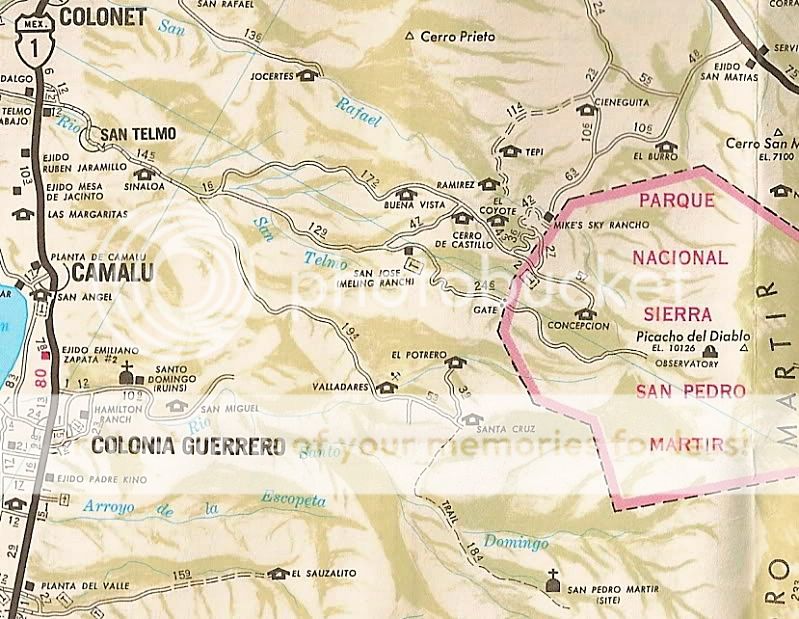
I have also heard of hot springs up in the sierra, south of Meling Ranch, at Valladares.
Maybe a Baja map with the hot springs pointed out to give an idea of the areas they are located in? |
David I have none of your great map skills,nor use GPS.Please visit me,off we go To get to SV spring,yes its up wash.You need go in back of SV high school to get to it.Bike 35min.4x4 45min/hour.To get to other spring,45min past
Rancho proteros.Valladares is down canyon from there. About 35/45 mins away. Show us your great map,I will point it out. Even better lets do 4x4 trip
with the boys.I know every road trail up there,also have keys to locked gates.
|
|
|
micah202
Super Nomad
   
Posts: 1615
Registered: 1-19-2011
Location: vancouver,BC
Member Is Offline
|
|
[img]https://www.flickr.com/photos/59103003@N05/40106697071/in/dateposted-public/[/img]
....had a great stay at the hots prints at Golf Club road, just Norte of Manneandro.
The big archway sign's not there anymore, but the springs are thriving, lots of improvements in the past 5 years., very well kept.
I think it was 150ps, per person, but well worth it.
There was the usual partiers and music blasting, but the camping area is well extended, we took a spot along the river upcreek, the water's sound
covered the ghetto blasters nicely! <;~}
[Edited on 2-10-2018 by micah202]
[Edited on 2-10-2018 by micah202]
|
|
|
caj13
Super Nomad
   
Posts: 1002
Registered: 8-1-2017
Member Is Offline
|
|
can anyone give me more specific directions to the Puertocito hot springs? i know its about 55 miles outh of San Felipe, but is there a mile marker,
store, gas station etc, that will guide me in (I do have the GPS location given in this thread, but the guy I'm walking onto that site - no bueno
on GPS
|
|
|
David K
Honored Nomad
        
Posts: 65436
Registered: 8-30-2002
Location: San Diego County
Member Is Offline
Mood: Have Baja Fever
|
|
Quote: Originally posted by caj13  | | can anyone give me more specific directions to the Puertocito hot springs? i know its about 55 miles outh of San Felipe, but is there a mile marker,
store, gas station etc, that will guide me in (I do have the GPS location given in this thread, but the guy I'm walking onto that site - no bueno
on GPS |
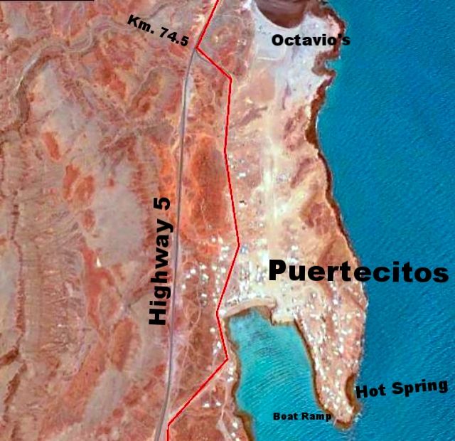
Highway 5 south from San Felipe to Km. 74.5 (it is a paved road forking to the left and signed "Puertecitos".
From my road guide:
Km. 74.5 Puertecitos paved entrance road.
0.2 mile to Octavio’s Playa Escondida driveway (additional 0.3 mile to the camp).
0.7-mile Puertecitos Pemex gas station.
Go left just ahead by the restaurant. A charge of 200 pesos/vehicle is collected to enter Puertecitos property beyond here.
0.9 mile to the beach palapas. Palapa camping only, no cabins or rooms.
1.2 miles to the hot springs. The natural lava-rock bathing pools mix sea water with hot sulfur springs to determine bathing temperature. The pools
can be too hot at low tide and completely underwater at high tide.
1.3 miles to a boat-launching ramp at the end of the road at the point.
From my Trip #1 report:
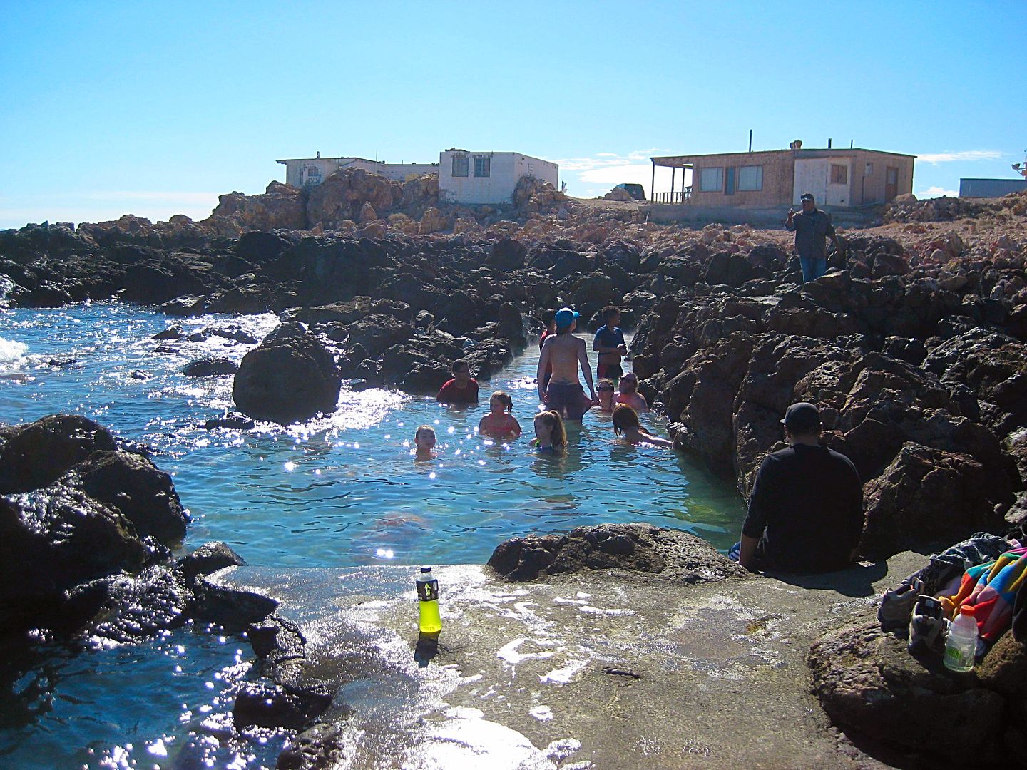
The hot springs of Puertecitos in the tidal zone. It is 200 pesos ($10) even to take photos here.
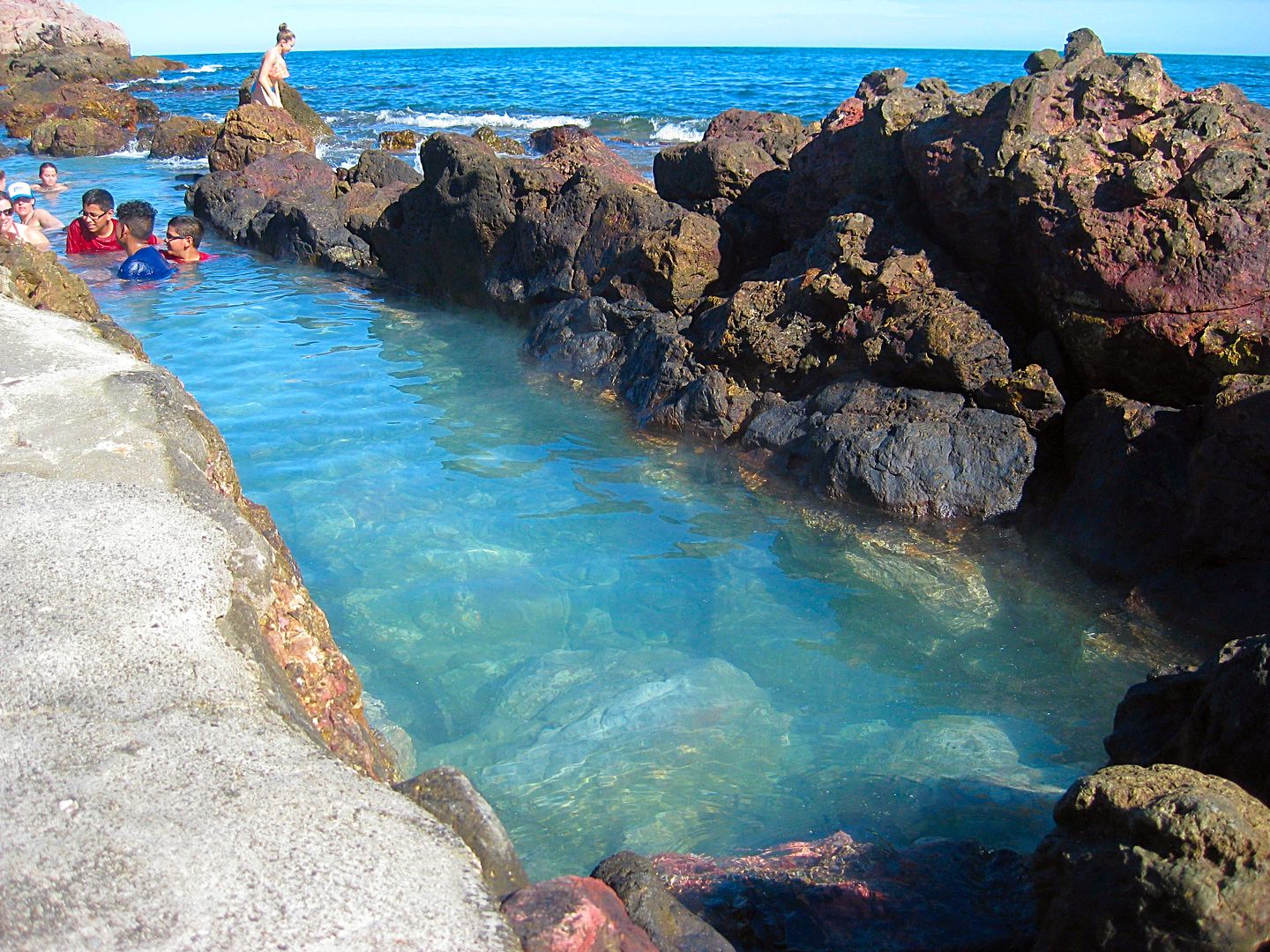
The water temperature changes with the amount of sea water mixing with the hot sulfur water. Low tide= too hot, high tide= too cold!
[Edited on 2-11-2018 by David K]
|
|
|
David K
Honored Nomad
        
Posts: 65436
Registered: 8-30-2002
Location: San Diego County
Member Is Offline
Mood: Have Baja Fever
|
|
Quote: Originally posted by bajatrailrider  | | There is also Hot spring In San Vicente wash.Last bridge going South San Vicente.4x4 needed Its east of SV about 30/45min. Sorry no GPS tracks.
|
Nearly two years after this post by bajatrailrider, I was able to take him up on the invite he gave me:
From my TRIP #7 report in 2017:
Rancho Agua Caliente and at least three source hot springs are 12 miles by 4WD road from San Vicente. The hot springs have been published as far back
as the 1958 edition of the Lower California Guidebook. The ranch there is not occupied but is owned by a friend of Larry's in San Vicente.
Here it is, pointed out, on a 55-year-old map:
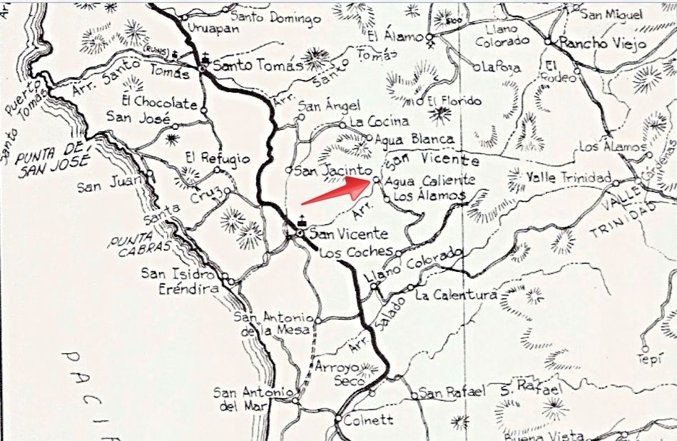
1962 Lower California Guidebook map, by Howard Gulick. Notice the pavement south ending before Colonet! There is a now more direct road to Agua
Caliente than this 1958 & 1962 edition map shows.
The hot springs are not developed at all. So, bring picks and shovels if you want to bathe here! They are along the south bank of Arroyo San Vicente
and another, not as hot spring is by the ranch on the north side of the arroyo. The south springs felt to me to be about 90°-100° and the water
rises in the pool with enough force to cause the sand to spin. There are some gas bubbles as well. No sulfur odor was detected, which is a nice
surprise.
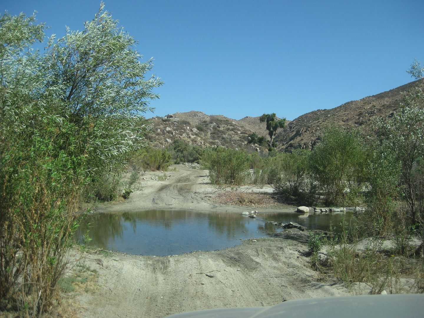
A pool is crossed driving up the arroyo road from San Vicente.
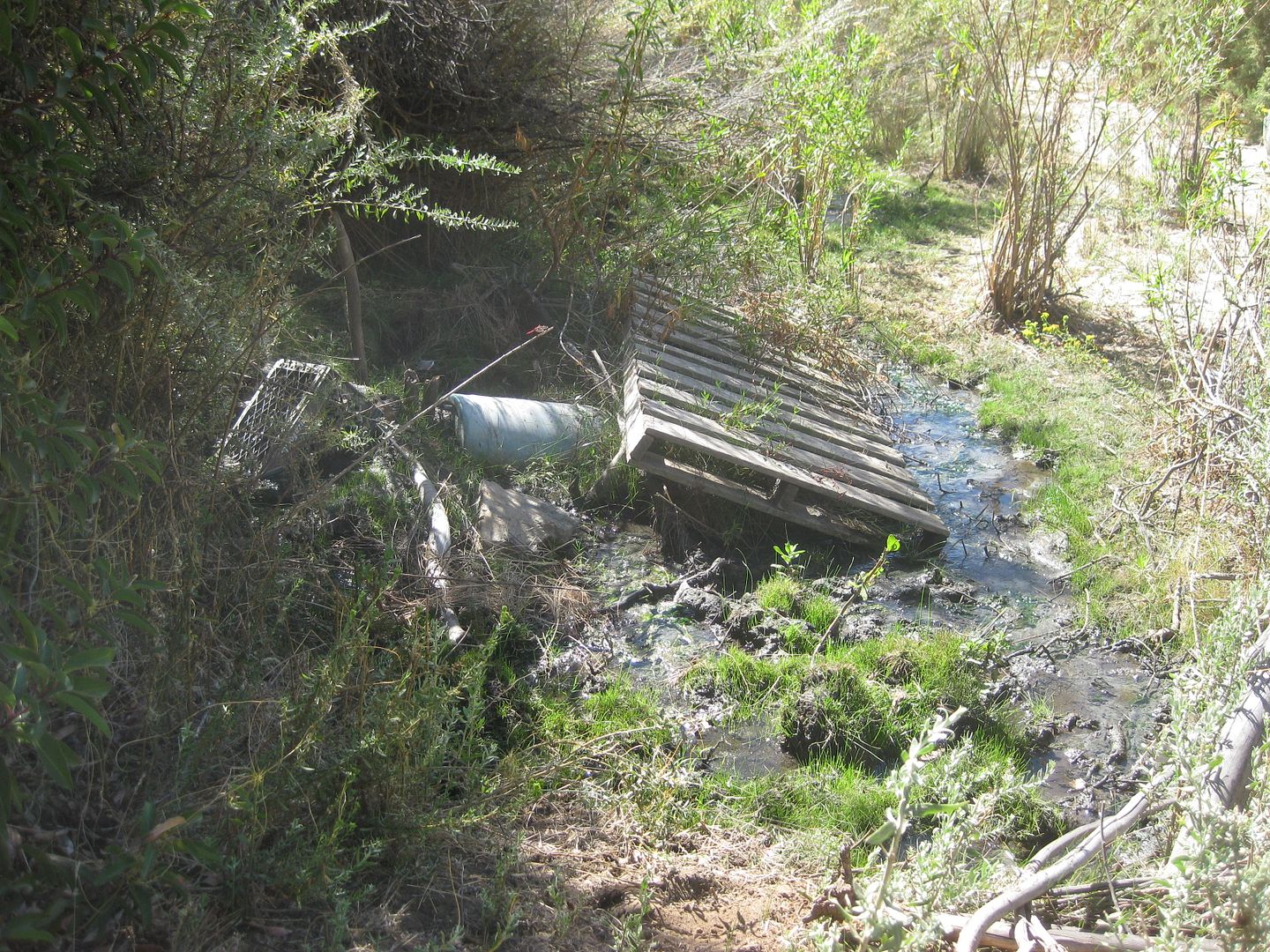
The first source spring is not very attractive!
About 1000 feet downstream (west) one comes to...
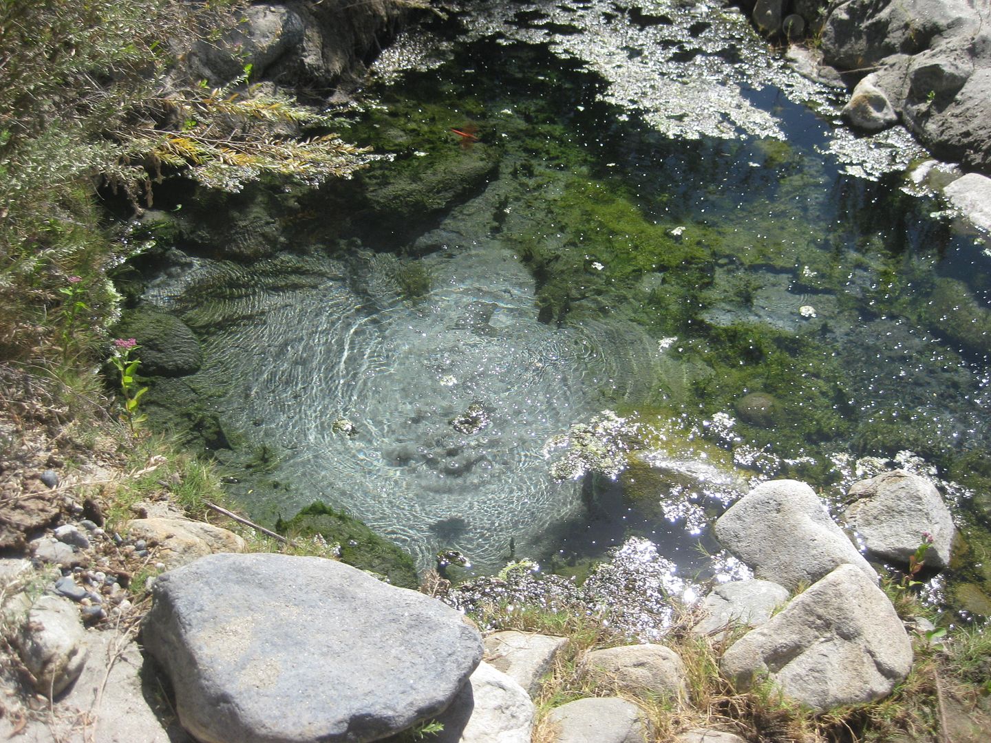
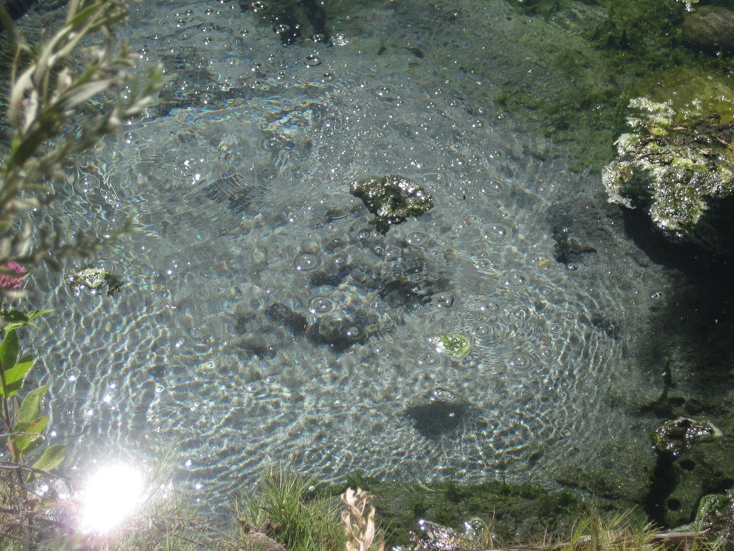
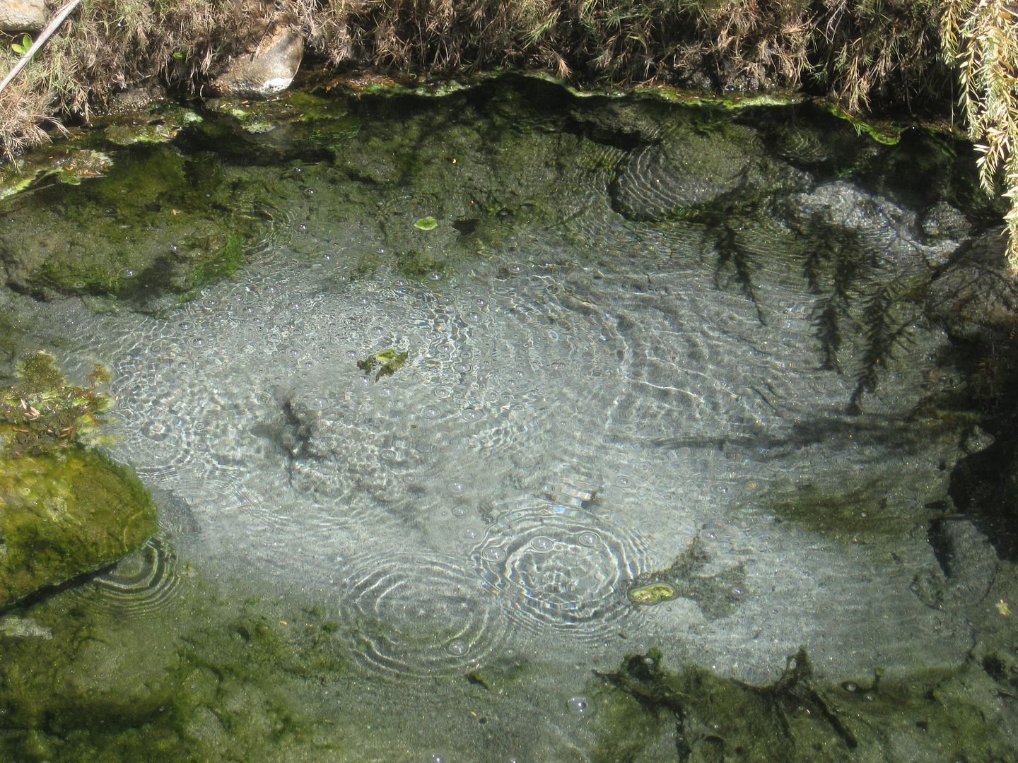
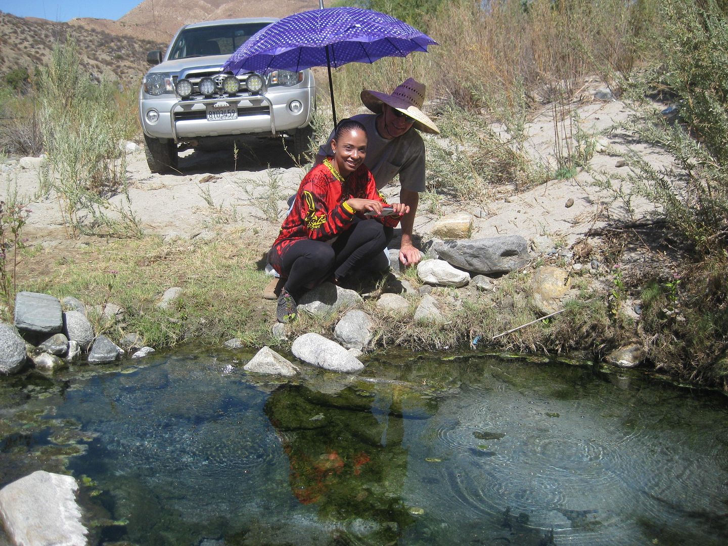
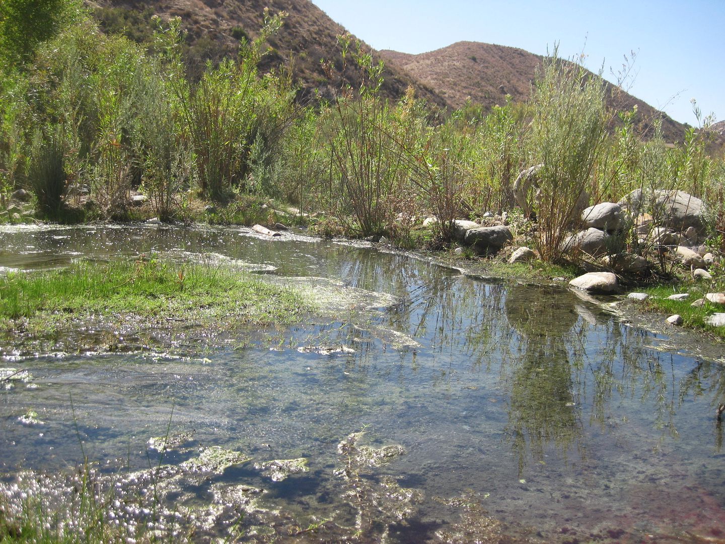
A hot stream drops down to a cool mountain stream... Natural hot and cold running water!:
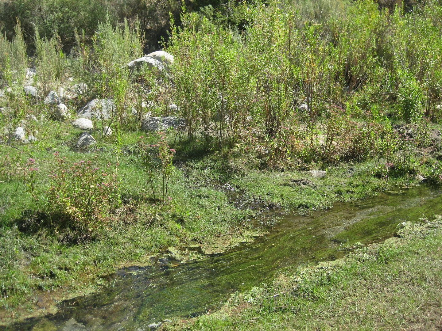
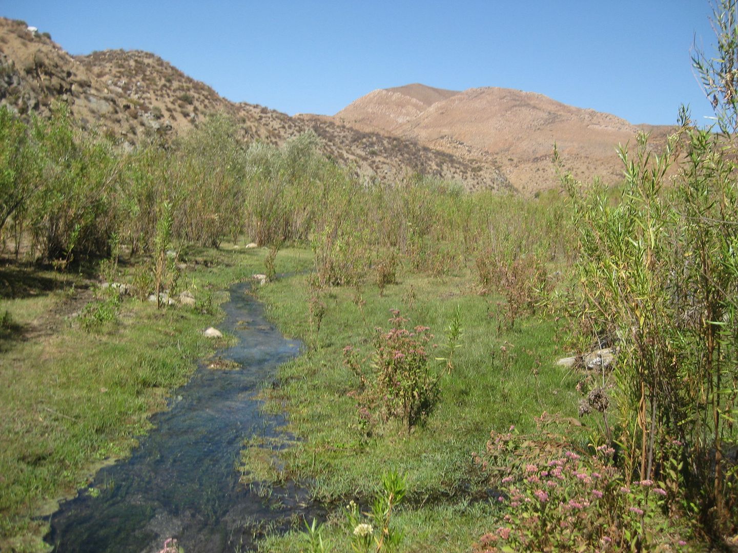
Looking upstream where the hot water meets the cold water.
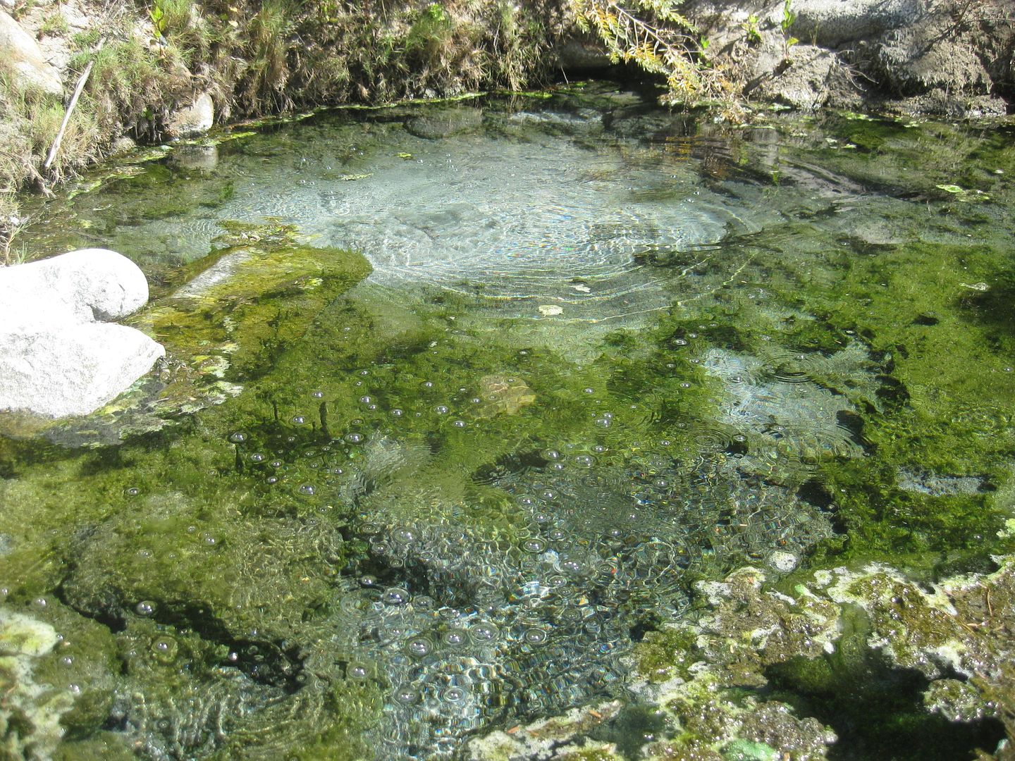
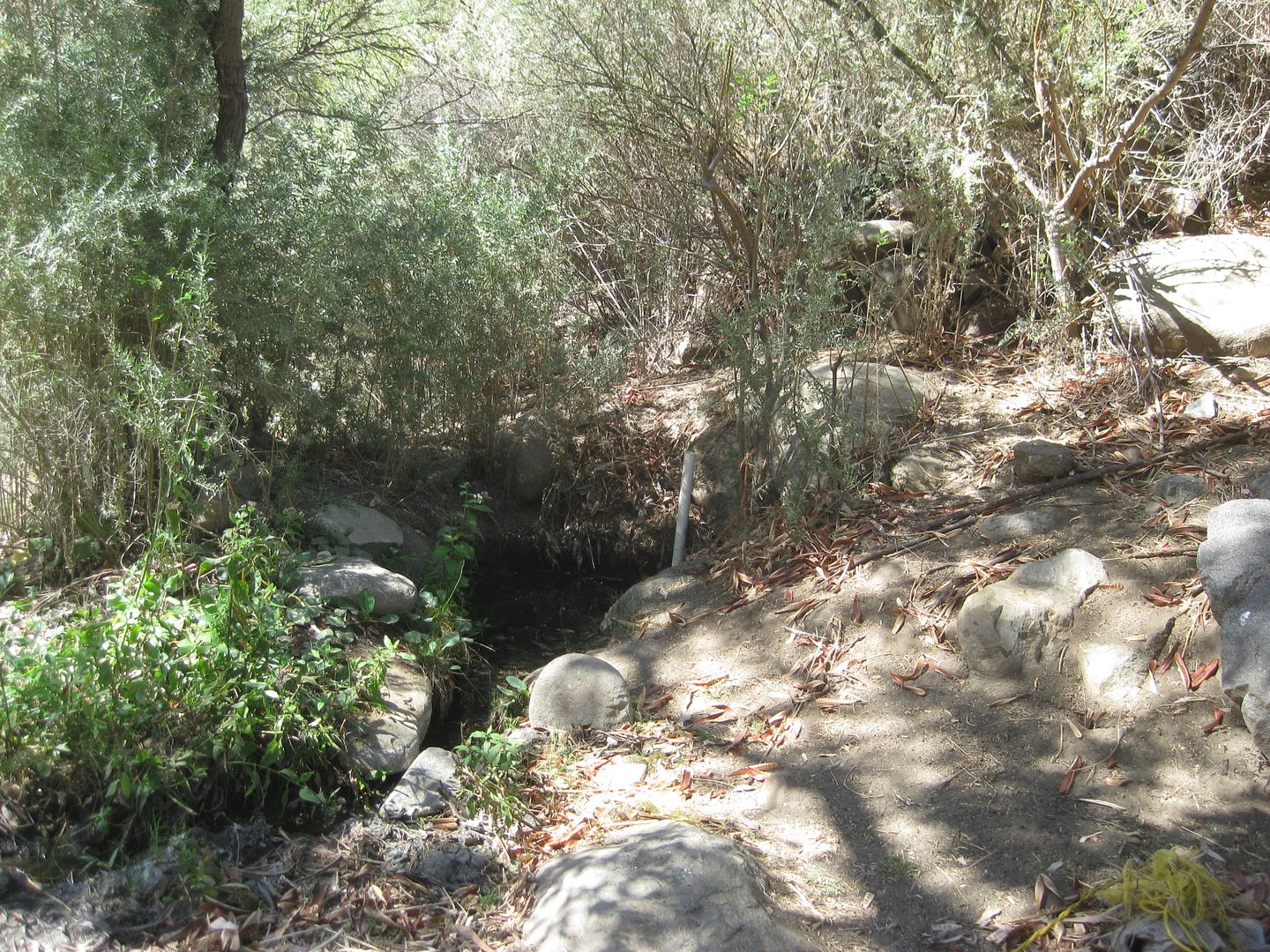
This is the warm spring by the ranch.
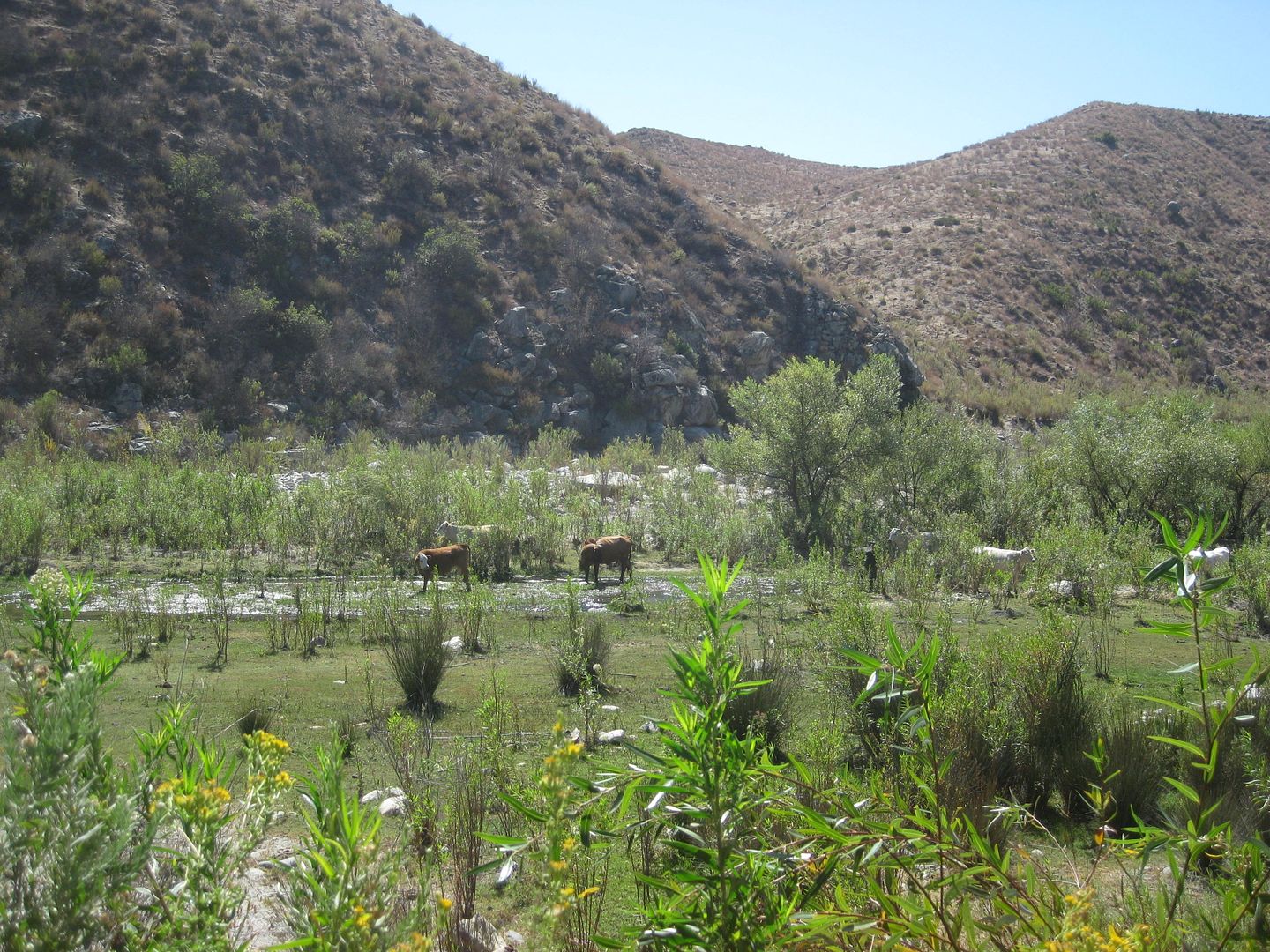
Cows grazing in Arroyo San Vicente/Cañon Agua Caliente.
|
|
|
bajatrailrider
Ultra Nomad
    
Posts: 2520
Registered: 1-24-2015
Location: Mexico
Member Is Offline
Mood: Happy
|
|
Great pictures David few days ago the second hot spring dug out and clean. Still best like you said bring a few shovels as it can change over night.
In walking distance nice orange tree yummy.
|
|
|
daveB
Nomad
 
Posts: 244
Registered: 11-6-2003
Location: B.C. Canada
Member Is Offline
Mood: wondering about Nomads!
|
|
I can see now the long legs this Hot springs thread has had. Wanted to make sure I could revisit the best of what we had experienced and my oh my
someone had beat me to it, the hot springs of Santa Rita. But wait! that was my own post from three years ago! I have a pretty vivid recollection of
that day,which was likely 2001, with six of us enjoying it. The warm water, up to our chests in places. Oh, and the Farmer who had led us to waters
edge, and watched over us for a time. No we weren't skinny dipping. That trip was my last to BCS. Loved the hiking that was so easy there, compared to
the jungles near where we spent the next seven winters, 200km south of Peurto Vallarta.
|
|
|
kingdktgrv
Newbie
Posts: 6
Registered: 3-27-2017
Member Is Offline
|
|
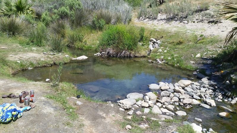
Not sure what the official name of this Spring is but it is the one off HWY 3 by LA CETTO back in April of 2016
|
|
|
PaulW
Ultra Nomad
    
Posts: 3113
Registered: 5-21-2013
Member Is Offline
|
|
Just got back from Rancho Agua Caliente. Exit Highway 3 @ Km27. No time now, but will make a thread after the big NASCAR Races.
www.ranchoauguacaliente.com
|
|
|
David K
Honored Nomad
        
Posts: 65436
Registered: 8-30-2002
Location: San Diego County
Member Is Offline
Mood: Have Baja Fever
|
|
Paul, test that link. I think there is an extra u in your link?
Try www.ranchoaguacaliente.com
[Edited on 2-18-2018 by David K]
|
|
|
JZ
Select Nomad
      
Posts: 13949
Registered: 10-3-2003
Member Is Online
|
|
What happened to mcfez.
|
|
|
daveB
Nomad
 
Posts: 244
Registered: 11-6-2003
Location: B.C. Canada
Member Is Offline
Mood: wondering about Nomads!
|
|
Traveled out of Santiago years ago, maybe 2001, remember using the Zoo's location as one of the waypoints, after that a lot of climbing (I wasn't the
driver) we got on an even steeper tract that eventually led into a yard of a resident. We paid a small amount for each of the two cars, and a fellow
led us down to the Santa Rita hot springs. Nice! Lush vegetation surrounded the fairly expansive waters that we could tell were about 90 degrees ( it
was January). A very nice hot springs experience! Some of us climbed up into the valley created by the stream, good exercise too.
There is another, much smaller hot spring in the area as well, some call it, yes, Agua Caliente. It forms in a tiny area (when we were there) not far
from the holding pond for flooding the culvert at certain times during the day - a man drives up and opens/ closes an under water valve manually for
the water to run into the valley below. Hiking up the creek is a fine trip. Back near the holding pond, there is a ritual that will amaze most people:
at about 4 PM on a winters day, just before the sun sets, bats emerge from the piping and begin to fly excitedly in a circle to then grasp onto a
large boulder. I sat for a time right in the path they moved through, with a video camera taking it in. The bats would always miss me although i felt
a wing against my shoulder a time or two. An owl flew into the throng once a took its dinner; one of our group was busy extracating bats trapped in
foliage. Eventually hundreds of bats hung on the rock waiting for darkness to fall, to begin their own mealtime. For us, this was all simply amazing!
|
|
|
David K
Honored Nomad
        
Posts: 65436
Registered: 8-30-2002
Location: San Diego County
Member Is Offline
Mood: Have Baja Fever
|
|
Keep up the hot spring posts!
New ones or updating old ones, would be great to read.
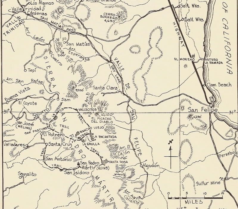
Has anyone been to the Valladares hot spring, south of Meling Ranch?
|
|
|
bajatrailrider
Ultra Nomad
    
Posts: 2520
Registered: 1-24-2015
Location: Mexico
Member Is Offline
Mood: Happy
|
|
Yes David it is mud pit I don't think. They let people there anymore but I will check
|
|
|
4x4abc
Ultra Nomad
    
Posts: 4454
Registered: 4-24-2009
Location: La Paz, BCS
Member Is Offline
Mood: happy - always
|
|
here are the hot springs I have recorded over the last 30 years
Attachment: all hotsprings.kmz (7kB)
This file has been downloaded 369 times
Harald Pietschmann
|
|
|
micah202
Super Nomad
   
Posts: 1615
Registered: 1-19-2011
Location: vancouver,BC
Member Is Offline
|
|
Wowww, thanks dear Nomads,,, been keeping the thread going nicely!
I'm not sure if it's already in here, but here's some deets on one South(?) of Bahia de los Angeles... though I'm not finding the Borja Mission on my
map.... any clues, km's etc?
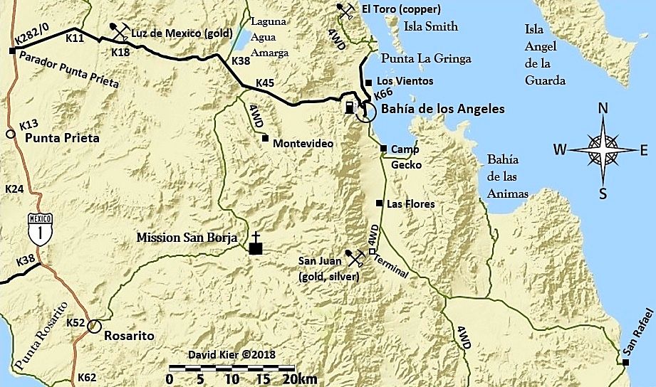
......Take the back road to San Borja mission - ask the caretaker family as a guide. Ask if they will allow you to use the warm springs (it's private
property). Interesting hiking around there.
|
|
|
David K
Honored Nomad
        
Posts: 65436
Registered: 8-30-2002
Location: San Diego County
Member Is Offline
Mood: Have Baja Fever
|
|
Quote: Originally posted by micah202  | Wowww, thanks dear Nomads,,, been keeping the thread going nicely!
I'm not sure if it's already in here, but here's some deets on one South(?) of Bahia de los Angeles... though I'm not finding the Borja Mission on my
map.... any clues, km's etc?
......Take the back road to San Borja mission - ask the caretaker family as a guide. Ask if they will allow you to use the warm springs (it's private
property). Interesting hiking around there. |
Not a good map if it doesn't have San Borja!
Here is mine, with the kilometer markers at turnoffs:
|
|
|
micah202
Super Nomad
   
Posts: 1615
Registered: 1-19-2011
Location: vancouver,BC
Member Is Offline
|
|
ahh, DavidK, right on cue with your map!
I hadn't yet seen the road through there.
Quote: Originally posted by David K  | Quote: Originally posted by micah202  | Wowww, thanks dear Nomads,,, been keeping the thread going nicely!
I'm not sure if it's already in here, but here's some deets on one South(?) of Bahia de los Angeles... though I'm not finding the Borja Mission on my
map.... any clues, km's etc?
......Take the back road to San Borja mission - ask the caretaker family as a guide. Ask if they will allow you to use the warm springs (it's private
property). Interesting hiking around there. |
Not a good map if it doesn't have San Borja!
Here is mine, with the kilometer markers at turnoffs:
 |
|
|
|
David K
Honored Nomad
        
Posts: 65436
Registered: 8-30-2002
Location: San Diego County
Member Is Offline
Mood: Have Baja Fever
|
|
Just fyi, the side road to the Montevideo pictographs is now closed with a locked gate... So so sad.
|
|
|
| Pages:
1
2
3
4
5 |

