| Pages:
1
2 |
BajaWarrior
Super Nomad
   
Posts: 2307
Registered: 9-27-2006
Location: Mission Bay, San Diego. Playa Hermosa, San Felipe.
Member Is Offline
Mood: Anxious to get south
|
|
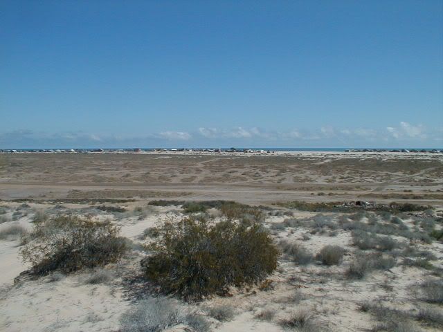
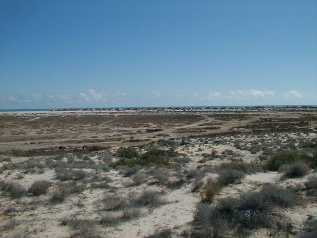
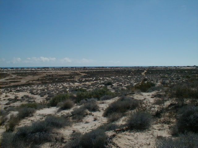
We are actually going to be at our Beach House this weekend so we'll get some shots from our house and from the Dune, which I think it's elevation is
the key.
Haven't had a bad trip yet....
|
|
|
David K
Honored Nomad
        
Posts: 65361
Registered: 8-30-2002
Location: San Diego County
Member Is Offline
Mood: Have Baja Fever
|
|
Cool! 
|
|
|
BajaWarrior
Super Nomad
   
Posts: 2307
Registered: 9-27-2006
Location: Mission Bay, San Diego. Playa Hermosa, San Felipe.
Member Is Offline
Mood: Anxious to get south
|
|
Hi all,
We went to our Beach House last weekend for a very windy trip. Here, from the same spot, looking through the same homes 1/2 mile away on top of the
dune only a 1/4 mile behind our home we took this not so clear photo of the Islands (bottom photo when windy/dusty, top photo when super clear for
days in a row). We see these Islands almost every day provided it is clear and not windy/dusty. The higher you are the more visible they are to the
naked eye.
From out Beach front patio we see only small bumps and from our upstairs deck we see a little more of them. But from the dune we get this view.


[Edited on 5-15-2011 by BajaWarrior]
Haven't had a bad trip yet....
|
|
|
scouter
Nomad
 
Posts: 100
Registered: 4-11-2011
Member Is Offline
|
|
David K how do you get the google earth shots into posts????
|
|
|
David K
Honored Nomad
        
Posts: 65361
Registered: 8-30-2002
Location: San Diego County
Member Is Offline
Mood: Have Baja Fever
|
|
Chuck, that is scary looking photography... I have never seen across the gulf from the beach... but those must be mountains on mainland Mexico! The
Enchanted islands are along the coast, south of you... They are lower than the mountains along the coast south of Puertecitos... Did you only take
that one photo, and none showing the Baja coast to the right, for perspective?
Thanks for the fun look!
Scouter, I save the Google Earth image to my PC files, then upload them to Photobucket (800 pixels wide) to display here. Let me know if you need more
details!
|
|
|
BajaWarrior
Super Nomad
   
Posts: 2307
Registered: 9-27-2006
Location: Mission Bay, San Diego. Playa Hermosa, San Felipe.
Member Is Offline
Mood: Anxious to get south
|
|
| Quote: | Originally posted by David K
Chuck, that is scary looking photography... I have never seen across the gulf from the beach... but those must be mountains on mainland Mexico! The
Enchanted islands are along the coast, south of you... They are lower than the mountains along the coast south of Puertecitos... Did you only take
that one photo, and none showing the Baja coast to the right, for perspective?
Thanks for the fun look!
Scouter, I save the Google Earth image to my PC files, then upload them to Photobucket (800 pixels wide) to display here. Let me know if you need more
details! |
They are indeed the Enchanted Islands. You have not seen what we see on a near daily basis. They look different with each elevation. Mainland? No.
When we're down next (Memorial Day Weekend) if it's clear I'll get some shots from our Beach patio, upstairs deck, and the dune again. The shots from
our patios will include Punta Colorado in the distance. Again, we had two days of strong winds dusting up the views.
Stop on by when your down next even if we're not there and climb the stairs to our upstairs deck and have a look for yourself. Check it from the dune
due west by a 1/4 mile from BajaRob's casa too.
Haven't had a bad trip yet....
|
|
|
David K
Honored Nomad
        
Posts: 65361
Registered: 8-30-2002
Location: San Diego County
Member Is Offline
Mood: Have Baja Fever
|
|
Yes, I will! We will be on Shell Island for the weekend... and are coming by Rob and Connie's for a visit on our way out, Monday.
Please show photos to the right (south) of the ones you have posted... I would like to see the 'islands' in relation to the Baja coast.
This is indeed very interesting... The size of the one mass (mountain) you say are the few tiny islands south of Puertecitos is baffling indeed.
I took a panorama photo from the dune west of your house, but no telephoto:

Bahia Santa Maria

San Carlos

Playa Hermosa
See you guys maybe in a couple weeks?
[Edited on 5-15-2011 by David K]
|
|
|
BajaLori
Newbie
Posts: 12
Registered: 8-31-2009
Location: Las Vegas/Bahia Santa Maria
Member Is Offline
|
|
What kind of camera is your wife using and what kind of lens. We will be down for the party memorial also. We will try to come by and you can show
us too. We are in the same camp with you. We take the quads up in those dunes all the time and have never seen them. I recognize the houses in the
shot so I know the angle. That's pretty cool. Can't wait.
|
|
|
BajaWarrior
Super Nomad
   
Posts: 2307
Registered: 9-27-2006
Location: Mission Bay, San Diego. Playa Hermosa, San Felipe.
Member Is Offline
Mood: Anxious to get south
|
|
| Quote: | Originally posted by BajaLori
What kind of camera is your wife using and what kind of lens. We will be down for the party memorial also. We will try to come by and you can show
us too. We are in the same camp with you. We take the quads up in those dunes all the time and have never seen them. I recognize the houses in the
shot so I know the angle. That's pretty cool. Can't wait. |
Hi Lori,
The camera is a Canon Power Shot XS 30 IS with only the attached lens. Sure it is a zoom but we see these islands all the time in the morning hours
from our sea level patio and raised deck. Come on by during Memorial Day Weekend (early) for coffee and we'll show you.
Chuck and Chris
Casa #24
Haven't had a bad trip yet....
|
|
|
| Pages:
1
2 |

