| Pages:
1
2 |
woody with a view
PITA Nomad
      
Posts: 15940
Registered: 11-8-2004
Location: Looking at the Coronado Islands
Member Is Offline
Mood: Everchangin'
|
|
that silt is insane, as usual! complete misery if there is any rain....
|
|
|
BajaRat
Super Nomad
   
Posts: 1304
Registered: 3-2-2010
Location: SW Four Corners / Bahia Asuncion BCS
Member Is Offline
Mood: Ready for some salt water with my Tecate
|
|
| Quote: | Originally posted by Pacifico
| Quote: | Originally posted by BajaRat
Great stuff. is there access to BOLA from the north or yall went through Chapala ?
Thanks for the great report  |
BajaRat,
From Coco's we went east to Calamajue Canyon. When you follow the canyon south it comes out on Hwy 1 south of Chapala at a place called El Crucero.
Then you have just a short bit of pavement and you peel off the hwy where there are 2 blue fence posts on the east side of the hwy. From there, it is
more dirt and it brings you out onto the BOLA road about 11 or 12 miles in from the intersection of hwy 1. Check out Calamajue Canyon! It is really
beautiful! |
I've really wanted to slow down and explore more of that area, every time we're at Cocos I say " maybe on the next trip we will have more time and
follow that road out to Calamajue " . We appreciate you taking us along vicariously with your fun post ! 
And on Woodys note I killed a VW van motor in the sister silt back in the day 
[Edited on 7-4-2014 by BajaRat]
|
|
|
David K
Honored Nomad
        
Posts: 65413
Registered: 8-30-2002
Location: San Diego County
Member Is Offline
Mood: Have Baja Fever
|
|
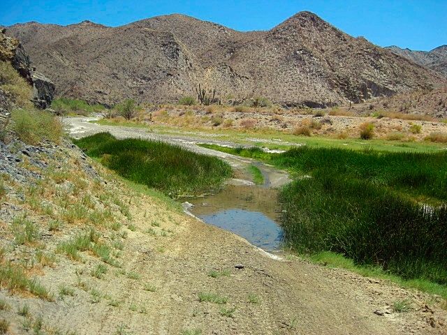
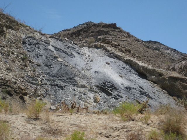
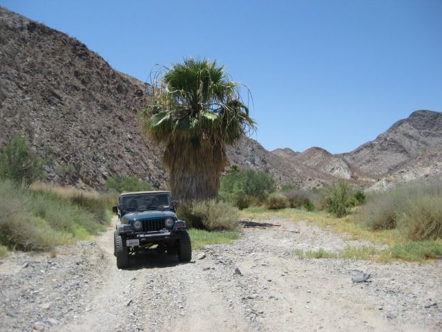
Here are some photos from Coco's Corner to El Crucero, via Calamajué Canyon (July 2012).
This was the main gulf side route (Hwy. 5) before 1983 when the Laguna Chapala to Puerto Calamajué road was graded.

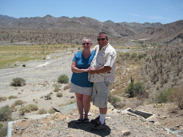
Arroyo Calamajué view from next to the mill ruins
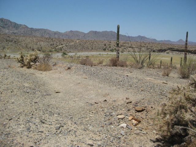
Mission ruins across arroyo from mill.
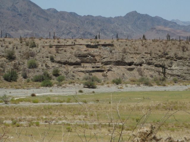
Mill ruins as seen from mission.
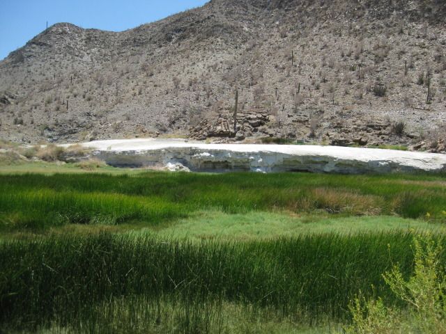
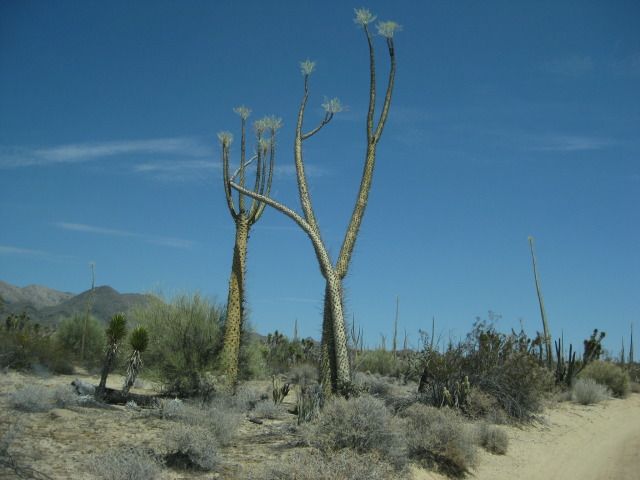
Dancing boojums... now is my web site page image.
|
|
|
BajaRat
Super Nomad
   
Posts: 1304
Registered: 3-2-2010
Location: SW Four Corners / Bahia Asuncion BCS
Member Is Offline
Mood: Ready for some salt water with my Tecate
|
|
Good ruins on the route, what was the mill for and by whom ? Was that seep or spring the water source for the operation ?
Thanks D
|
|
|
David K
Honored Nomad
        
Posts: 65413
Registered: 8-30-2002
Location: San Diego County
Member Is Offline
Mood: Have Baja Fever
|
|
| Quote: | Originally posted by BajaRat
Good ruins on the route, what was the mill for and by whom ? Was that seep or spring the water source for the operation ?
Thanks D |
Gold ore mill... Dick Daggett operation from early 1900's from what I read by Arthur North (1906 trip).
The mineral bank is a spring formation... water runs in the creek in which the road is in for several miles... year round mineral stream.
The mission could not survive there because the water was no good to grow crops in... moved to Santa María in May, 1767 less than a year after the
founding in 1766.
|
|
|
| Pages:
1
2 |

