| Pages:
1
2
3
4
5 |
Ken Cooke
Elite Nomad
     
Posts: 8970
Registered: 2-9-2004
Location: Riverside, CA
Member Is Offline
Mood: Pole Line Road postponed due to injury
|
|
I decided to pay $15/month to Photobucket.  . Waiting until payday to have all of
these photos restored to my BAN threads. . Waiting until payday to have all of
these photos restored to my BAN threads.
|
|
|
ehall
Super Nomad
   
Posts: 1906
Registered: 3-29-2014
Location: Buckeye, Az
Member Is Offline
Mood: It's 5 o'clock somewhere
|
|
Rumor has it that a couple guys on dirt bikes made it. I think I remember ropes being used to lower the bikes at some places.
[Edited on 1-29-2018 by ehall]
|
|
|
4x4abc
Ultra Nomad
    
Posts: 4454
Registered: 4-24-2009
Location: La Paz, BCS
Member Is Offline
Mood: happy - always
|
|
here is your rumor:
https://www.youtube.com/watch?v=7EL-eg5C4Uk
Harald Pietschmann
|
|
|
ehall
Super Nomad
   
Posts: 1906
Registered: 3-29-2014
Location: Buckeye, Az
Member Is Offline
Mood: It's 5 o'clock somewhere
|
|
Thanks for the link. The rumor is true. Doesn't look like much fun. Not much chance of that becoming a popular trail.
|
|
|
bajatrailrider
Ultra Nomad
    
Posts: 2520
Registered: 1-24-2015
Location: Mexico
Member Is Offline
Mood: Happy
|
|
Ed did you notice the bark busters on the red bike. The worthless ones that when you fall you bust off the cultch and brake lever. That means the
brave riders are pros never fell down. Or many spare levers great video thank you Harold. Most of there route no trail just boon docking brave great
skilled riders. Also cultch slip masters. Well Done.
|
|
|
advrider
Super Nomad
   
Posts: 1920
Registered: 10-2-2015
Member Is Offline
|
|
No thanks, that doesn't even look like fun and I have a Rekluse in my bike. That's some hard ridding!
|
|
|
ehall
Super Nomad
   
Posts: 1906
Registered: 3-29-2014
Location: Buckeye, Az
Member Is Offline
Mood: It's 5 o'clock somewhere
|
|
Both levers and handguards were still intact at the end of the video. I would of worn out the battery trying to start after lots of stalls. Good
riders.
Look at 1;35 is that writing on the rock off to the right?
|
|
|
TMW
Select Nomad
      
Posts: 10659
Registered: 9-1-2003
Location: Bakersfield, CA
Member Is Offline
|
|
Justin Morgan is an excellent rider and racer.
I don't think a 4 wheeler will be going that way for a very long time.
|
|
|
4x4abc
Ultra Nomad
    
Posts: 4454
Registered: 4-24-2009
Location: La Paz, BCS
Member Is Offline
Mood: happy - always
|
|
the trail is very well defined - I have hiked it many times.
Was surprised to learn from these guys that they had a hard time finding the trail.
Well defined on Google Earth
Guess, hikers and bikers see the ground with different eyes.
Harald Pietschmann
|
|
|
TMW
Select Nomad
      
Posts: 10659
Registered: 9-1-2003
Location: Bakersfield, CA
Member Is Offline
|
|
I think it is probably that you are much more experienced in following trails like that.
Thanks for the video.
|
|
|
4x4abc
Ultra Nomad
    
Posts: 4454
Registered: 4-24-2009
Location: La Paz, BCS
Member Is Offline
Mood: happy - always
|
|
looks like bulldozer crape marks to me
the first part of the trail has been "improved" by Arturo Grosso
he had plans to extend the road he built from Rancho Santa Ines to Gonzaga Bay
Harald Pietschmann
|
|
|
willardguy
Elite Nomad
     
Posts: 6451
Registered: 9-19-2009
Member Is Offline
|
|
I know...lets build the mission HERE! 
|
|
|
David K
Honored Nomad
        
Posts: 65432
Registered: 8-30-2002
Location: San Diego County
Member Is Offline
Mood: Have Baja Fever
|
|
Quote: Originally posted by 4x4abc  | the trail is very well defined - I have hiked it many times.
Was surprised to learn from these guys that they had a hard time finding the trail.
Well defined on Google Earth
Guess, hikers and bikers see the ground with different eyes.
|
Yes, and there may be a parallel route. The Camino Real my son and I hiked up there was along a lot of the canyon edge and side slope. I didn't see
much of that in the video. But, the video captures the essence of the trail... and not passable to much more than narrow passages will allow.
I have posted close up satellite images where you can see a lot of it. They were better on Bing than Google, when I was looking.
Ken, I have re-posted a free way to see Photobucket found by Jaybo. Also, I have reported how TW and I learned that the first level up on Photobucket
allows image sharing, it was about $49/year... not a per month thing.
|
|
|
willardguy
Elite Nomad
     
Posts: 6451
Registered: 9-19-2009
Member Is Offline
|
|
so where do we stand, no 4 wheel vehicle has ever made it from the mission to highway 5?
|
|
|
4x4abc
Ultra Nomad
    
Posts: 4454
Registered: 4-24-2009
Location: La Paz, BCS
Member Is Offline
Mood: happy - always
|
|
at least not following the known Camino Real route on the north side of Arroyo Santa Maria
Harald Pietschmann
|
|
|
David K
Honored Nomad
        
Posts: 65432
Registered: 8-30-2002
Location: San Diego County
Member Is Offline
Mood: Have Baja Fever
|
|
Willardguy> Look at the video... ocotillos every few feet would need to be mowed down and boulders and mountainsides... It really looks too rough,
even for a mule. Graham tried to walk it with Misión (his burro), in 1997, and turned back... returning all the way back to Santa Ynez and had to
follow Highway One rather than the mission 'highway'. He wanted to follow El Camino Real, but it is way overgrown and eroded away after 249-318 years
from when most of it was built.
|
|
|
David K
Honored Nomad
        
Posts: 65432
Registered: 8-30-2002
Location: San Diego County
Member Is Offline
Mood: Have Baja Fever
|
|
El Camino Real, west of Gonzaga Bay, as seen from space
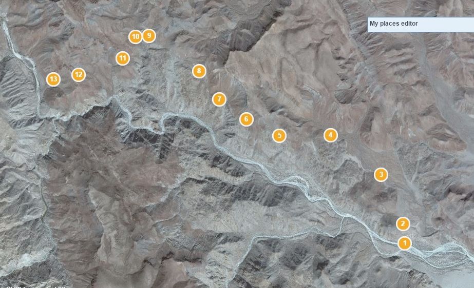
Now up close from Arroyo Santa Maria just east of the canyon entrance. Points 1-13. You can easily see the trail in the close-up images.
This route was opened by the Franciscans to replace the route in the canyon, used by the Jesuits. That route can be seen where it climbs up from the
canyon bottom to the end of the road bulldozed by Fred Hampe of Rancho Santa Ynez, attempting to reach Punta Final from Santa Ynez...
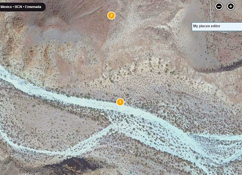
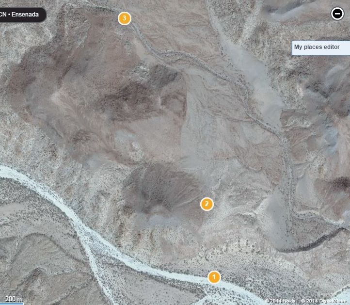
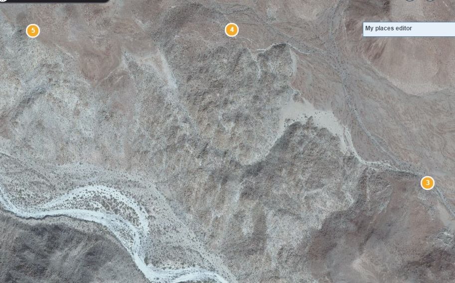
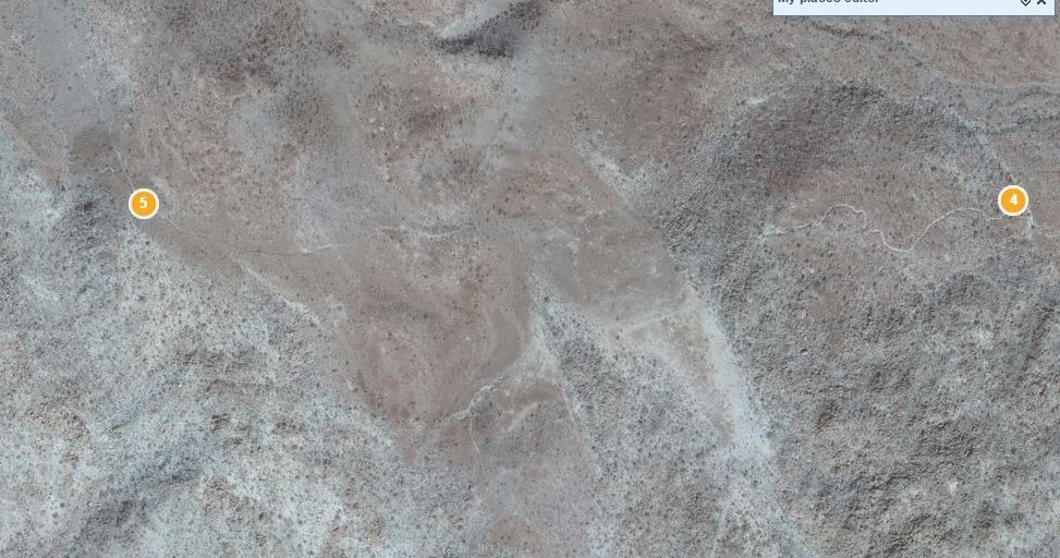
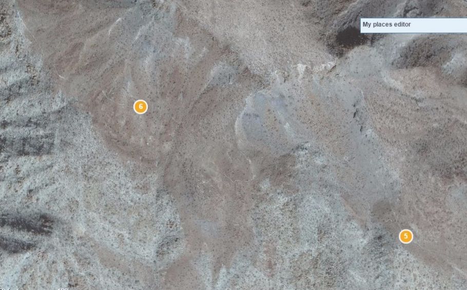
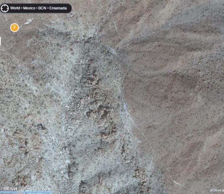
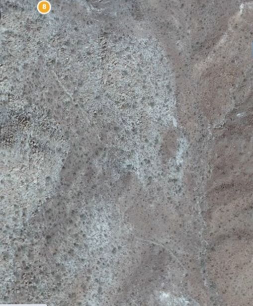
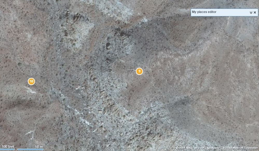
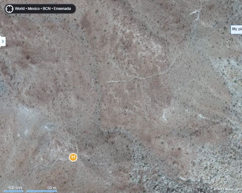
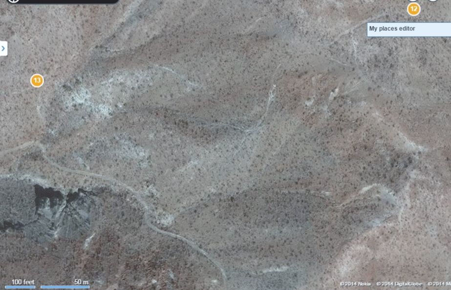
The bulldozed road is at the bottom.
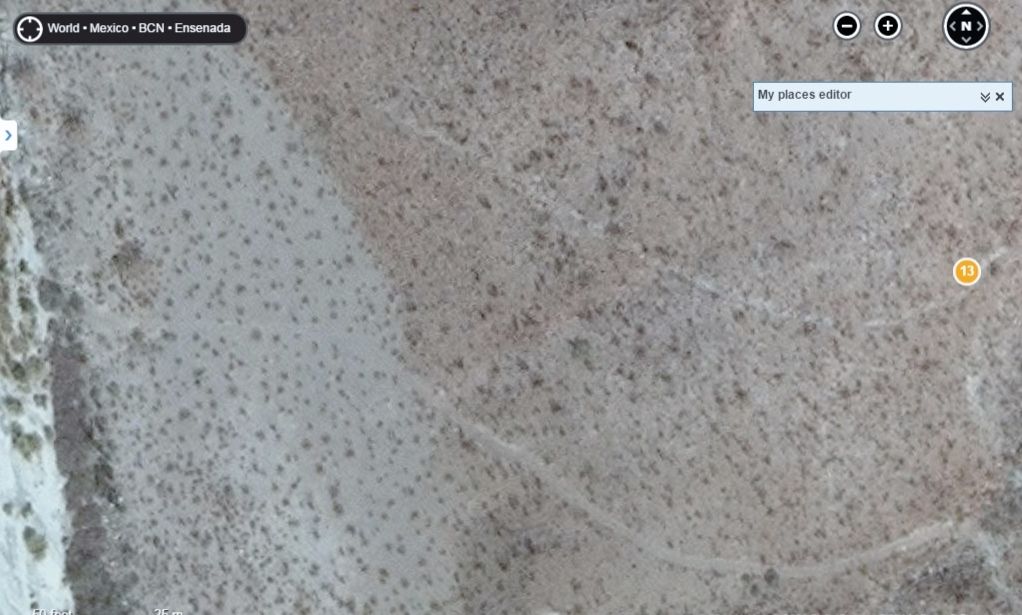
Close up, bulldozed road at bottom. There is a zig zag trail between the two, that isn't seen here.
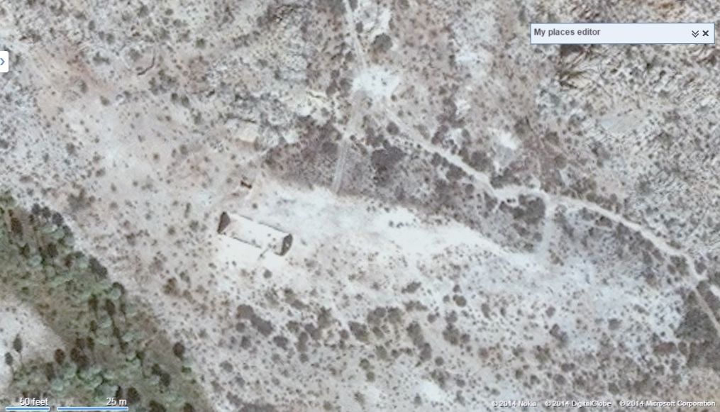
Mission Santa María, about 2 miles up the arroyo from the bulldozed road and El Camino Real junction.
|
|
|
Jinete Viejo
Junior Nomad

Posts: 88
Registered: 1-23-2017
Member Is Offline
|
|
Odd that the video didn't show the mission ruins at the beginning for effect. Also disappointing the video didn't show them reaching Hwy 5. That had
to be a pretty good celebration.
As David K mentioned, I didn't see anything that looked like the start of the trail just up the hill from the ruins. But you can tell from the video
that there is a very old trail there. Are any GPS tracks available to verify the route? (not that I would ever, ever attempt to ride this).
|
|
|
TMW
Select Nomad
      
Posts: 10659
Registered: 9-1-2003
Location: Bakersfield, CA
Member Is Offline
|
|
If you trace it on Google Earth and save it you can then convert it to a GPS track.
|
|
|
PaulW
Ultra Nomad
    
Posts: 3113
Registered: 5-21-2013
Member Is Offline
|
|
Maybe he does no know how?
Also a traced track on GE makes a goo image to post
|
|
|
| Pages:
1
2
3
4
5 |

