| Pages:
1
2
3
4
..
6 |
David K
Honored Nomad
        
Posts: 65402
Registered: 8-30-2002
Location: San Diego County
Member Is Offline
Mood: Have Baja Fever
|
|
Hankook Dynapro ATM, lowered to 25 psi, and a rock pierced it in the sidewall next to the tread. I was going way too fast, I suppose? The Tacoma just
loves Baja's back country!
|
|
|
Ateo
Elite Nomad
     
Posts: 5938
Registered: 7-18-2011
Member Is Offline
|
|
Thanks for posting that video too! Super fun.
|
|
|
David K
Honored Nomad
        
Posts: 65402
Registered: 8-30-2002
Location: San Diego County
Member Is Offline
Mood: Have Baja Fever
|
|
You bet Jon... more trip report coming soon: L.A. Bay after Montevideo... then south to Poncho's and a whole lot more!
|
|
|
shari
Select Nomad
      
Posts: 13052
Registered: 3-10-2006
Location: bahia asuncion, baja sur
Member Is Offline
Mood: there is no reality except the one contained within us "Herman Hesse"
|
|
Wow Ham sure works fast! I LOVE the video...it really captured the essence of the peninsula and their adventure! It stars some legends and was nice
for me to see some places & amigos I havent been in awhile.
I am really enjoying your trip report too David...great photos too and information of course.
|
|
|
David K
Honored Nomad
        
Posts: 65402
Registered: 8-30-2002
Location: San Diego County
Member Is Offline
Mood: Have Baja Fever
|
|
The ride in back of your truck seems to have been a major highlight! It was fun following you guys and seeing Jerry laughing so much!
[Edited on 9-22-2016 by David K]
|
|
|
shari
Select Nomad
      
Posts: 13052
Registered: 3-10-2006
Location: bahia asuncion, baja sur
Member Is Offline
Mood: there is no reality except the one contained within us "Herman Hesse"
|
|
yes jerry will never forget her first drunk...nor will we!
|
|
|
StuckSucks
Super Nomad
   
Posts: 2369
Registered: 10-17-2013
Location: Pacific Plate
Member Is Offline
|
|
I'm sitting in an office pounding on a keyboard MORE PHOTOS MORE PHOTOS!!
|
|
|
David K
Honored Nomad
        
Posts: 65402
Registered: 8-30-2002
Location: San Diego County
Member Is Offline
Mood: Have Baja Fever
|
|
DAY 3-B: Bahia de los Angeles
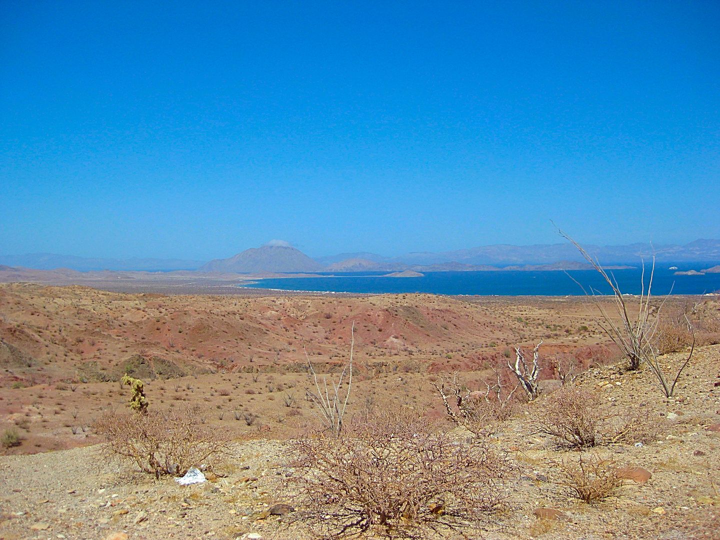
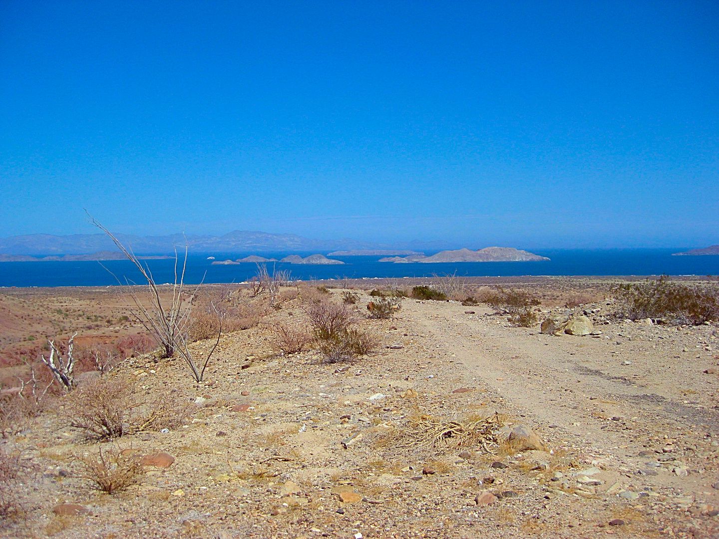
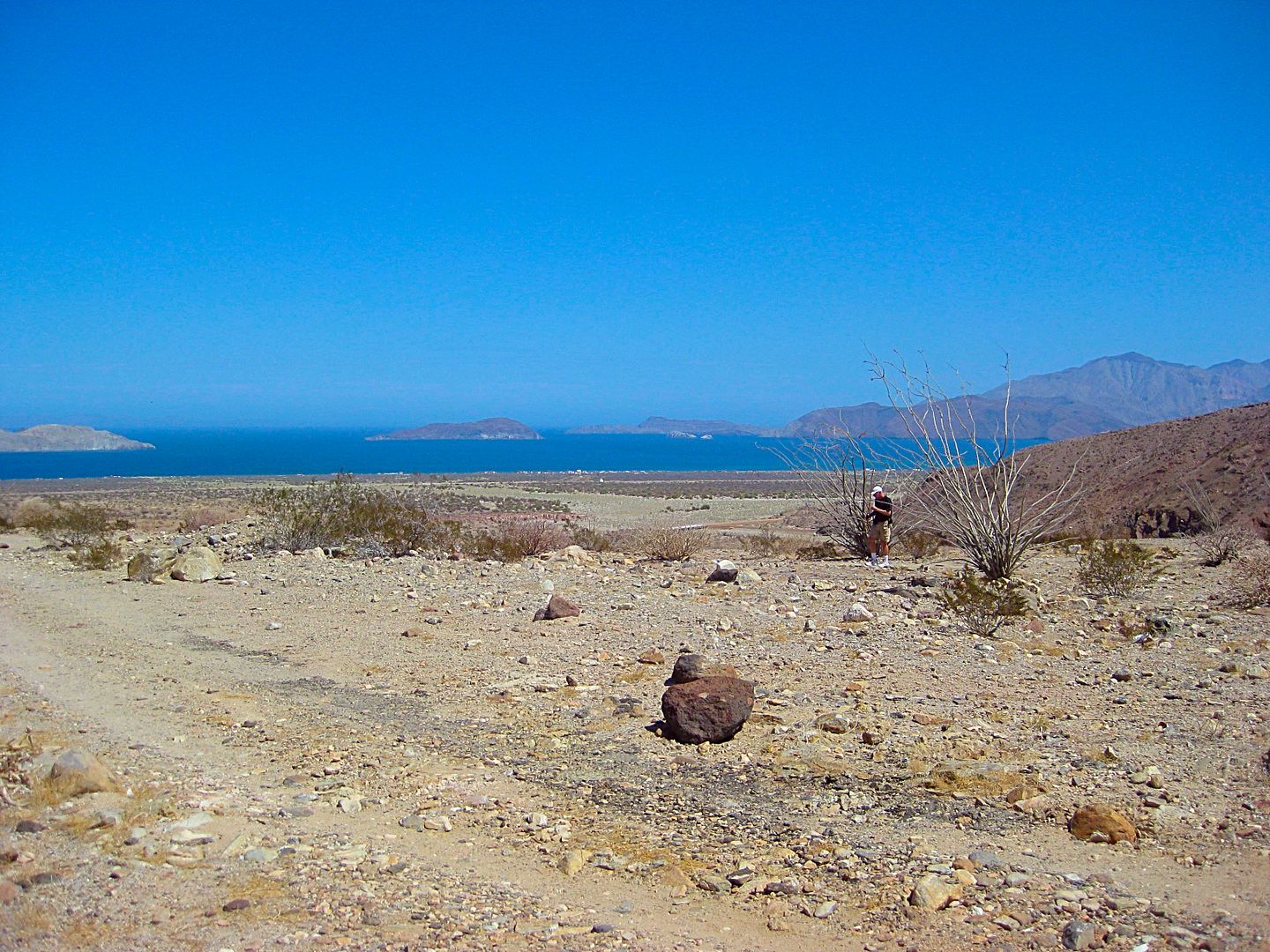
Camp Archelon http://www.archeloncamp.com.mx/
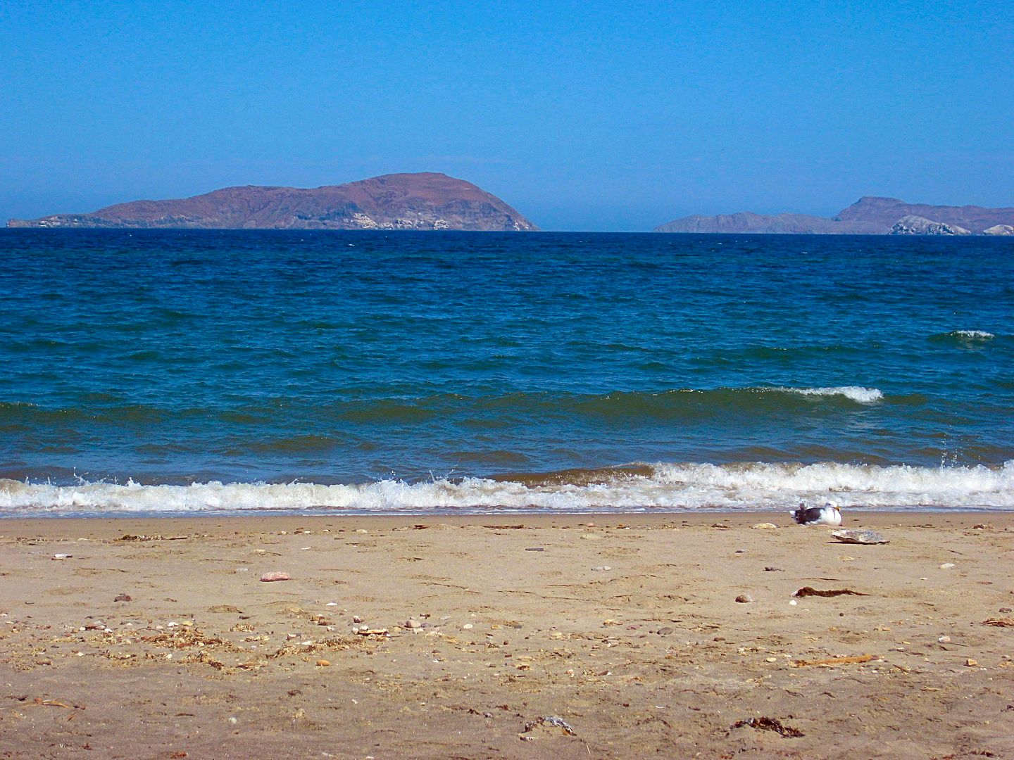
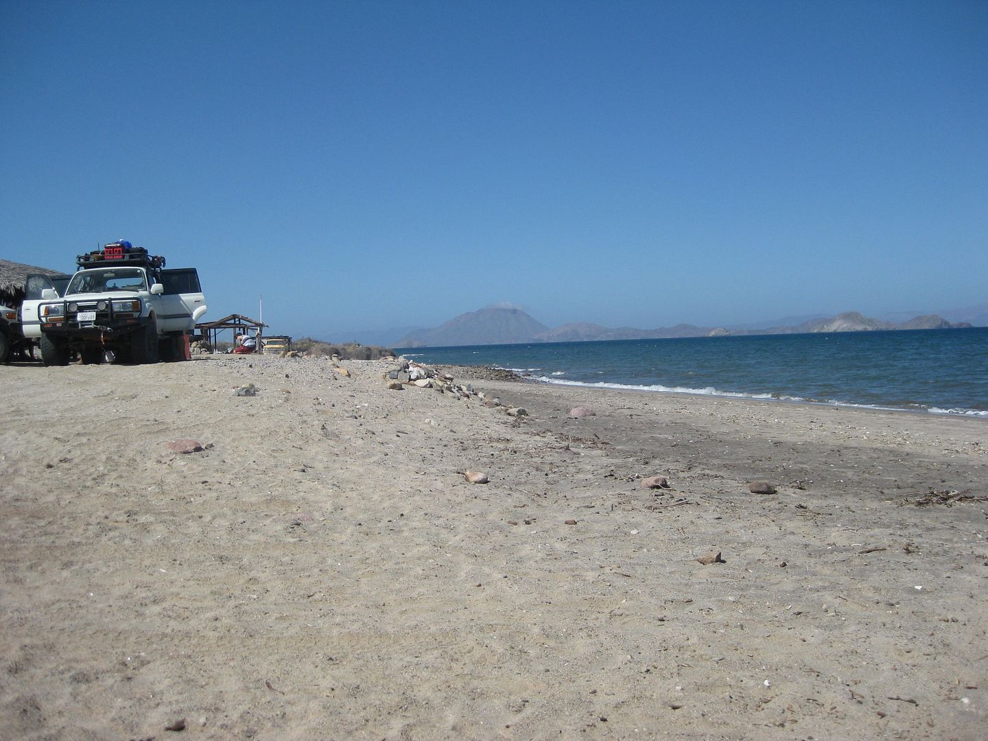
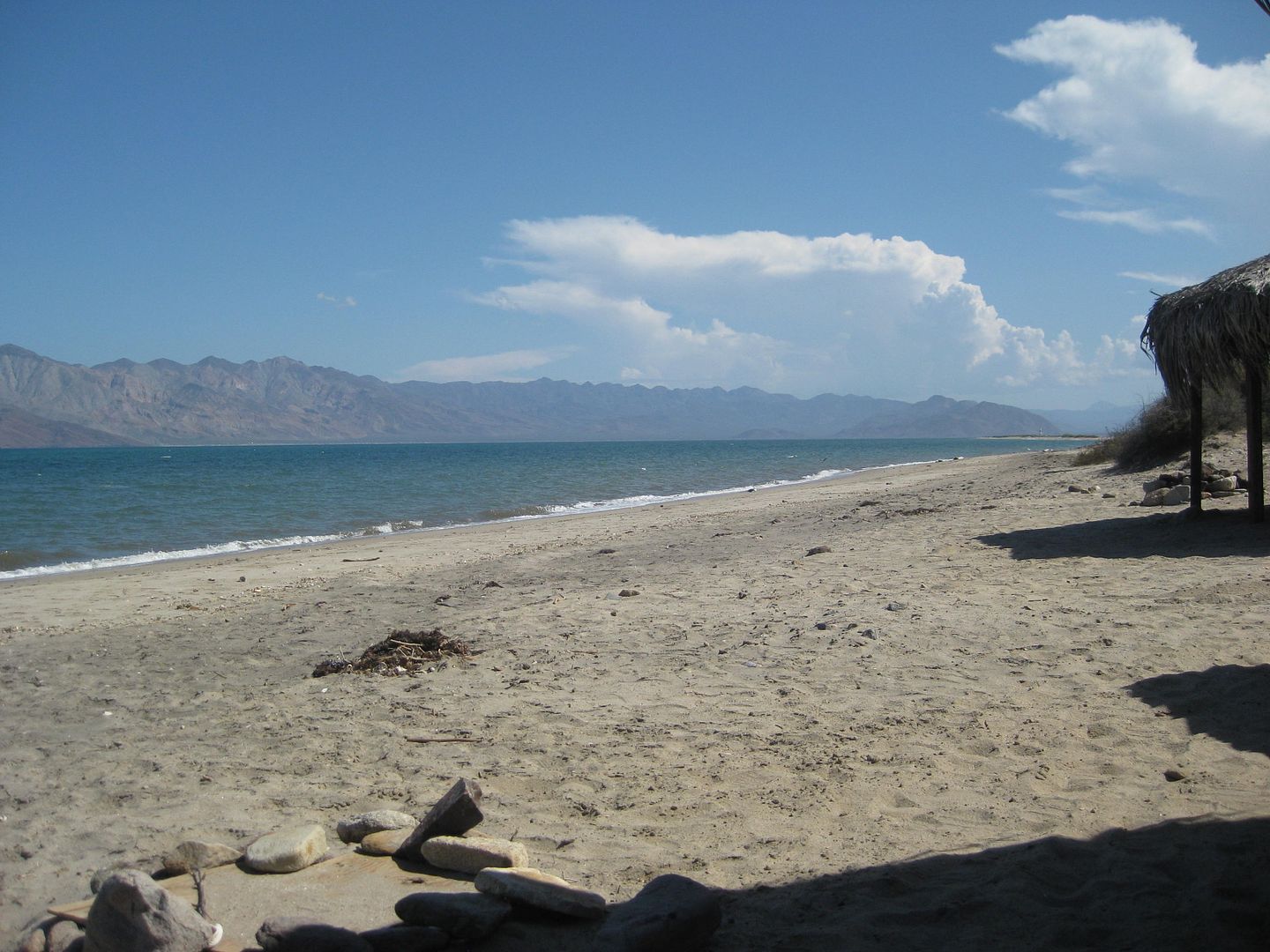
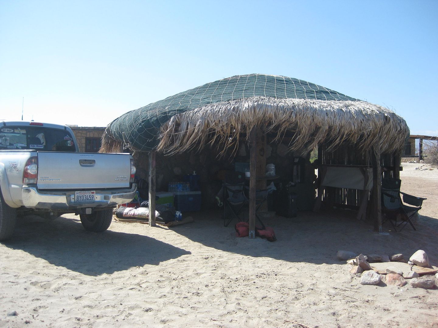
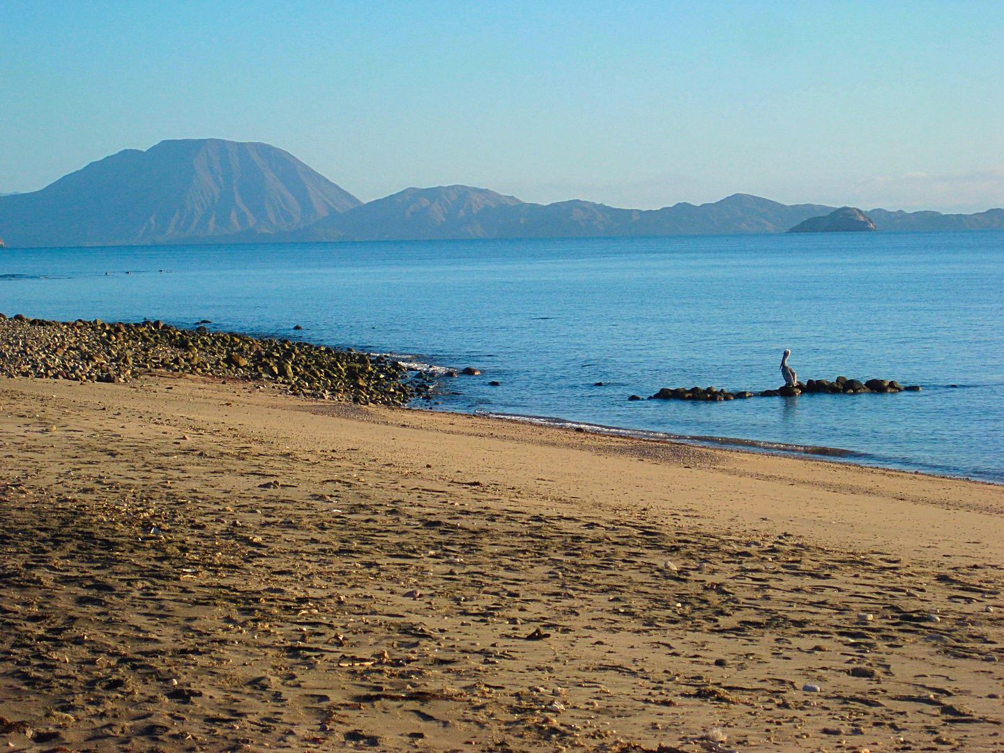
China's (say: Chee-nah) Tacos and on Sunday: Birria!
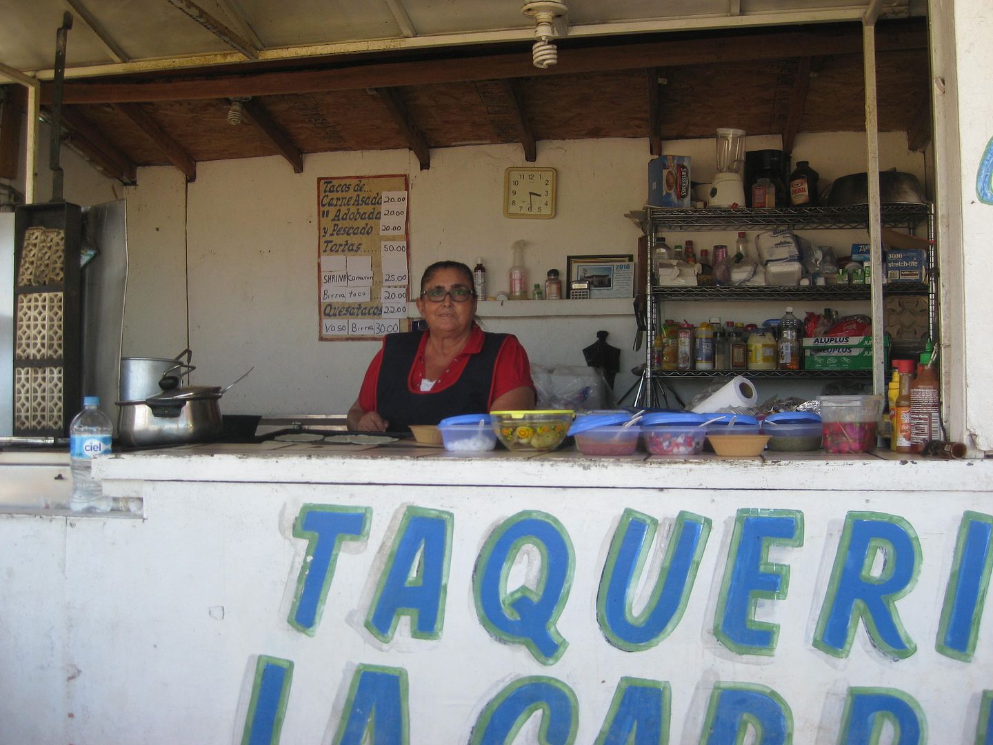
For dinner, Chef Jesse makes chicken and waffles (pancakes, actually) and it was incredible how well the chicken cooked fresh in camp (tender, juicy)
and with jalapeño-maple syrup... really amazing talent!
We had a great night, no bugs, and Archelon palapas each come with a pair of large canvas cots to sleep under the stars or in a palapa. The rate was
100 pesos per person ($5.62 at the rate we got pesos for). They have flush toilets and showers. I would definitely come here to camp again... and it
has a sand beach, too!
==============================================================================
[Edited on 9-22-2016 by David K]
|
|
|
David K
Honored Nomad
        
Posts: 65402
Registered: 8-30-2002
Location: San Diego County
Member Is Offline
Mood: Have Baja Fever
|
|
DAY 4 MONDAY SEPT. 12, 2016:
It is about 8 am and I go to the tire shop across from the Xitlali market (near the end of pavement, where the dirt road to Punta San Francisquito
turns left. My tire is fixable! I feared it was a goner, but I guess it was close enough to the tread section, the answer was "No problema" and a
patch was applied... and it lasted right to today.. and beyond? Pepe Smith was there just socializing with the owner (one of Papa Diaz' kids, I
think).
We then went to the museum, but it was closed at 9 am, so I showed the gang the outside stuff and explained about the San Juan mine on top of the
mountain... the cable tram bucket system and railroads at the top and bottom that brought the ore to Las Flores for processing into gold and silver
ingots.
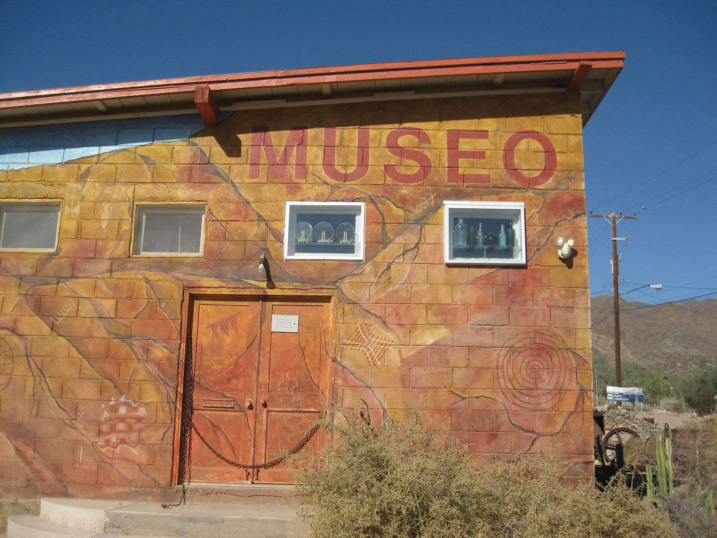
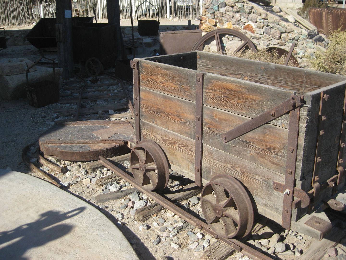
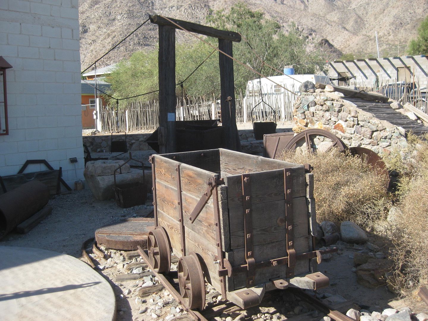
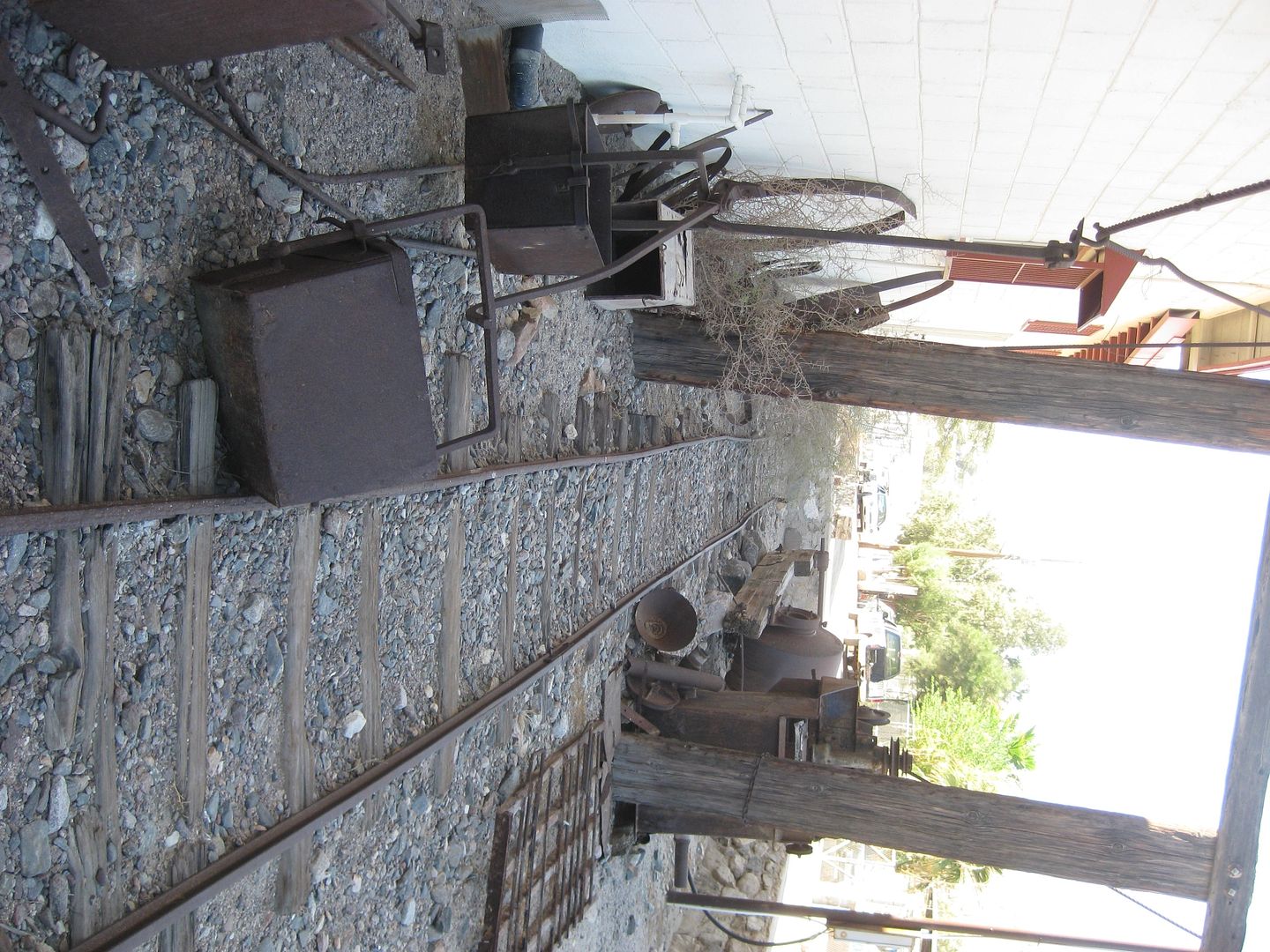
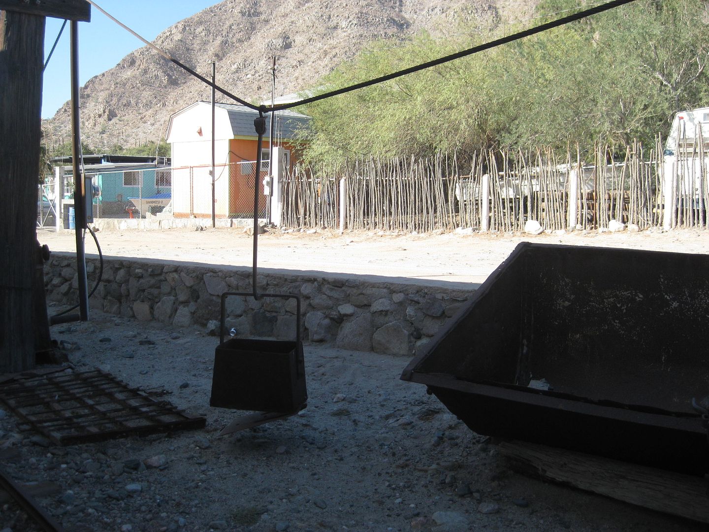
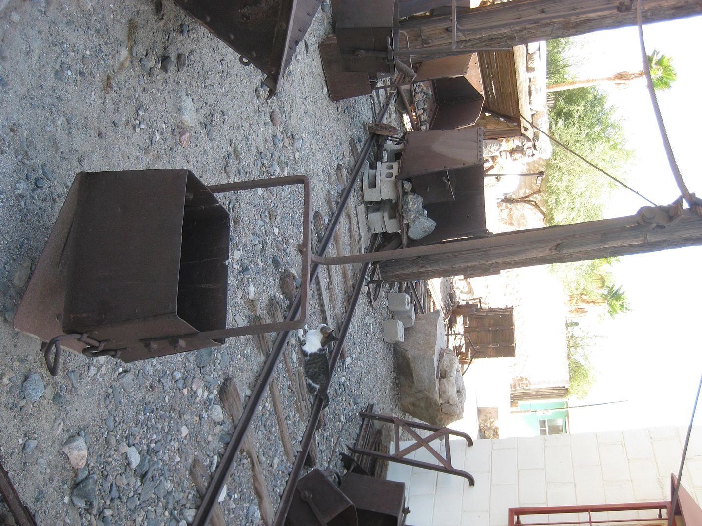
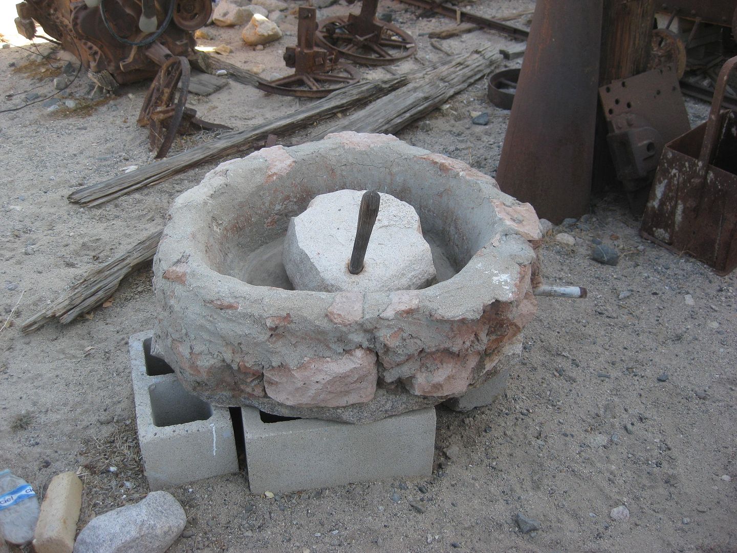
An arrastra (hand operated ore mill)
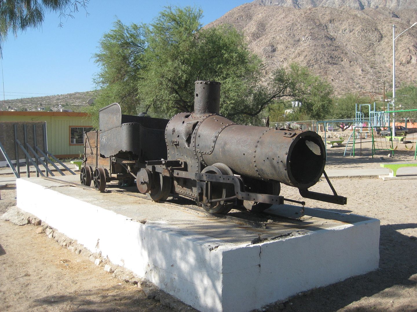
Las Flores train engine
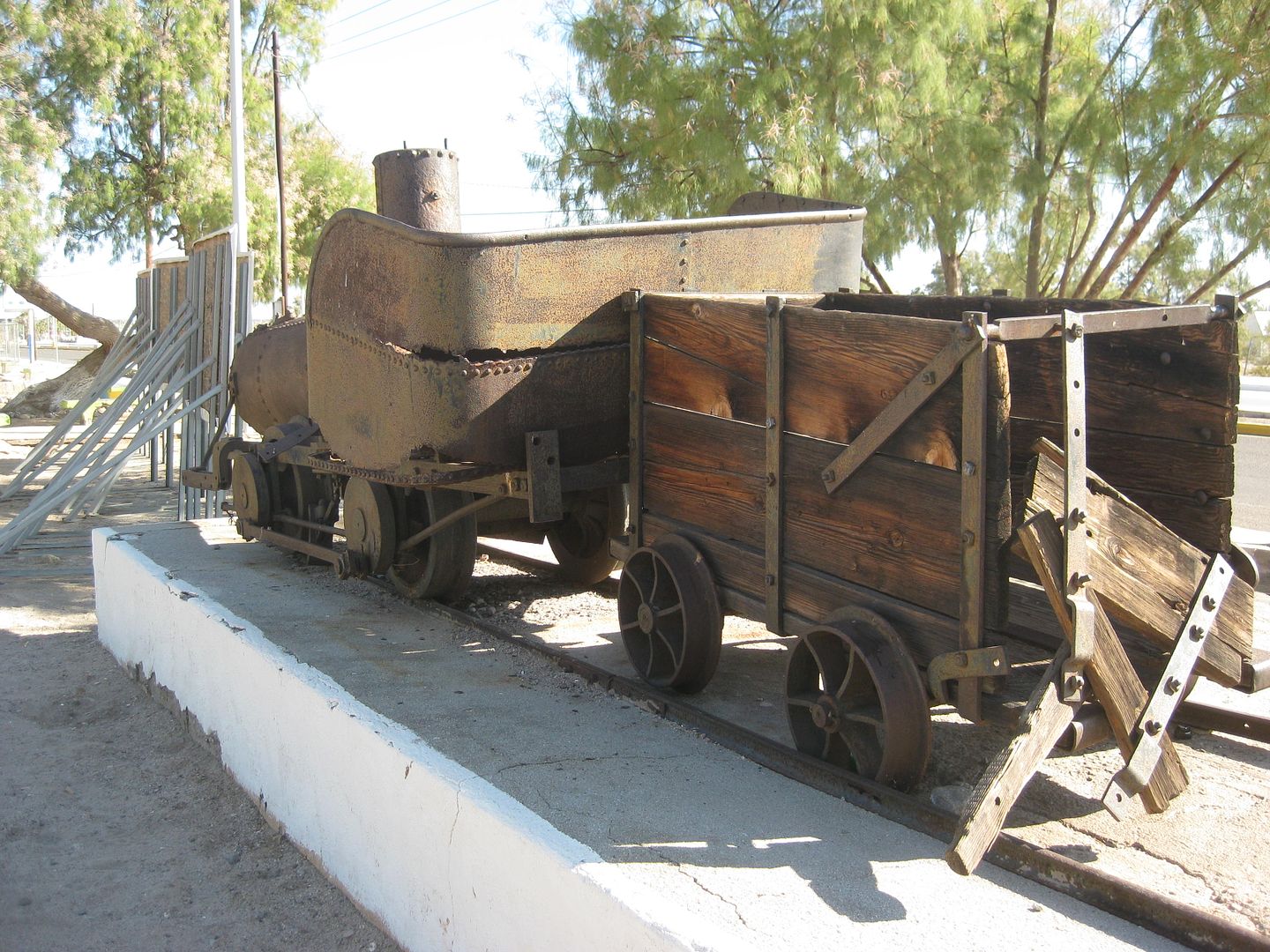
The train car behind the engine is from the mountain top San Juan railroad and is a different gauge (why it doesn't fit on the same track).
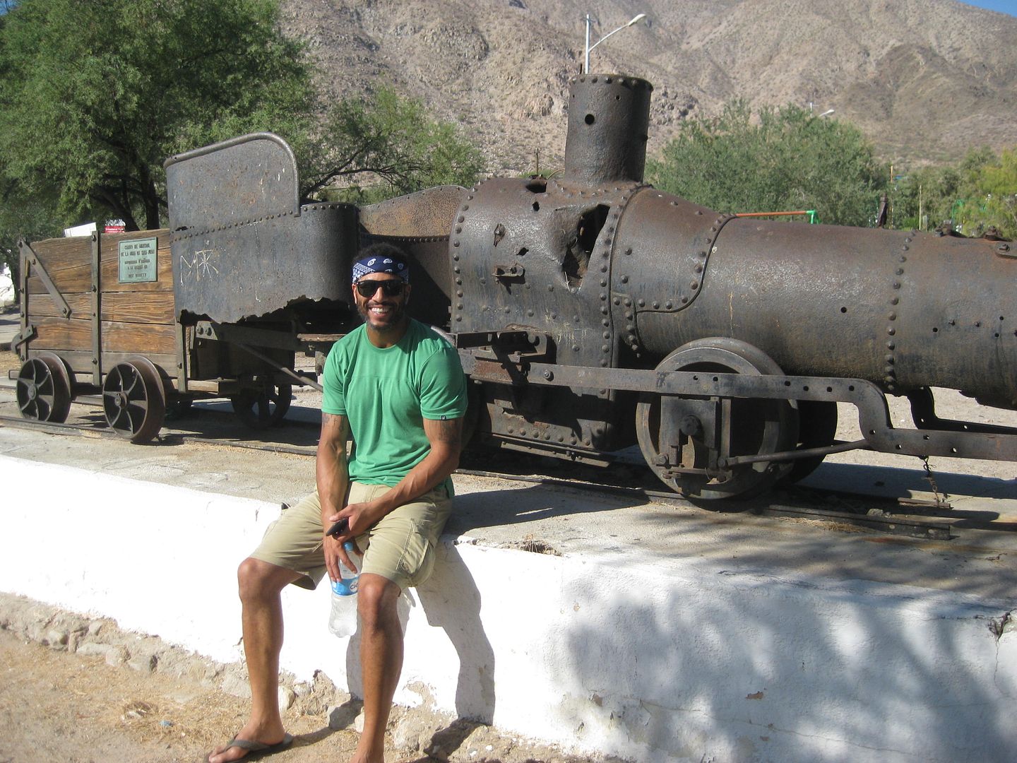
Our Hollywood celeb, Marland Burke (Model, in Magic Mike, and on TV)
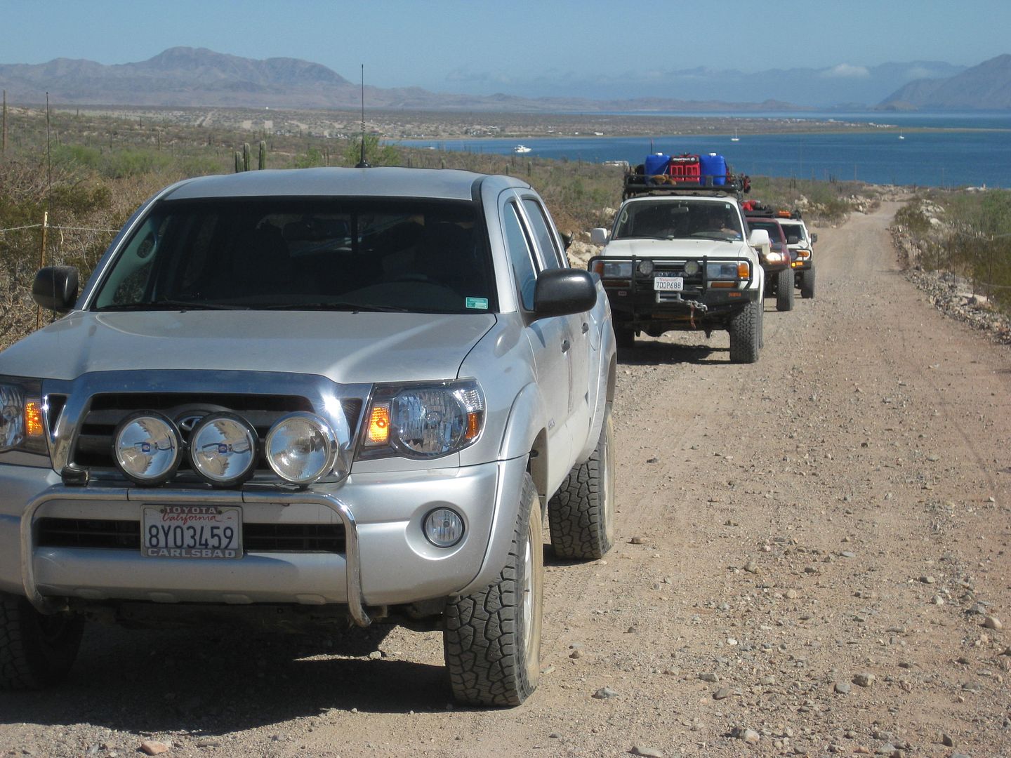
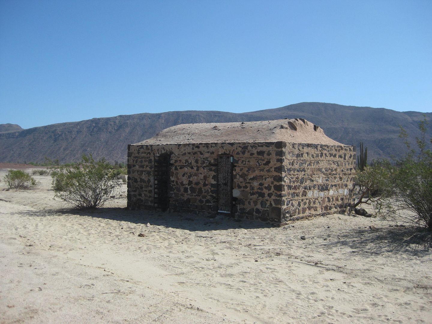
Las Flores... the jailhouse is the only intact building of a once thriving town. The train engine came from here, now in the L.A. Bay town plaza.
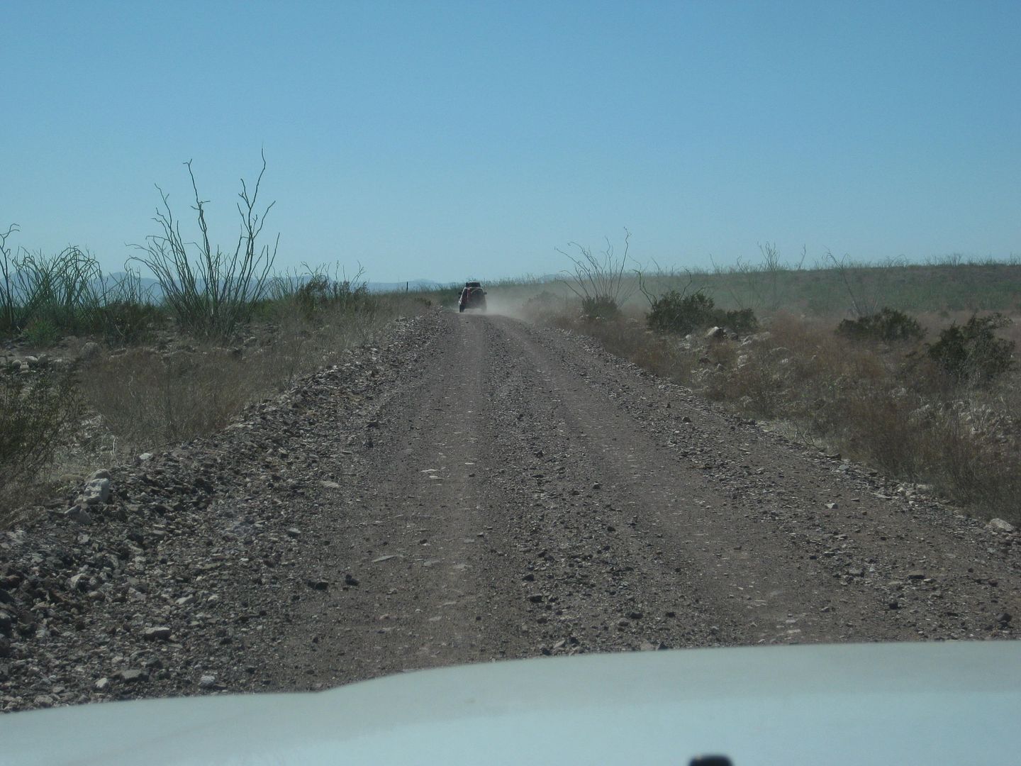
Heading south, on a recently graded road... very fast!
|
|
|
David K
Honored Nomad
        
Posts: 65402
Registered: 8-30-2002
Location: San Diego County
Member Is Offline
Mood: Have Baja Fever
|
|
Poncho's Place, Bahia San Rafael...
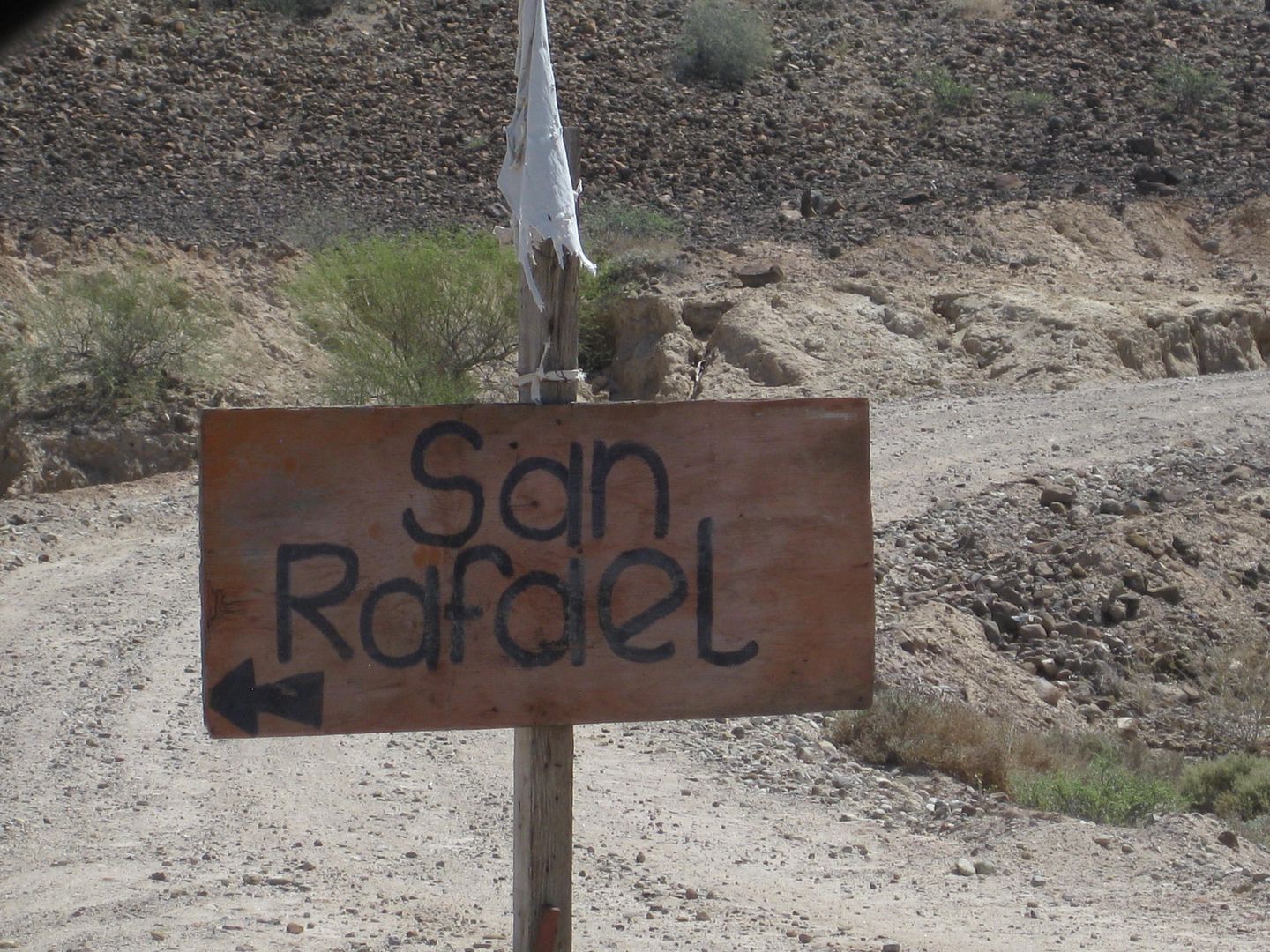
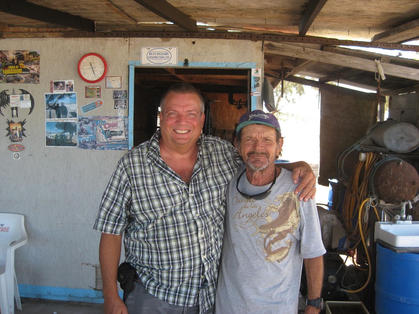
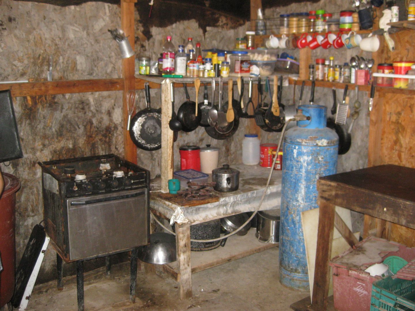
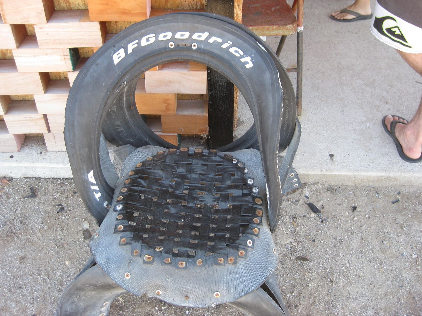
Poncho makes good use of a BFG All Terrain TA!
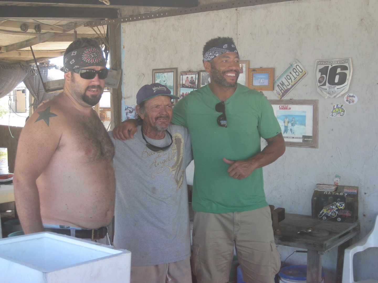
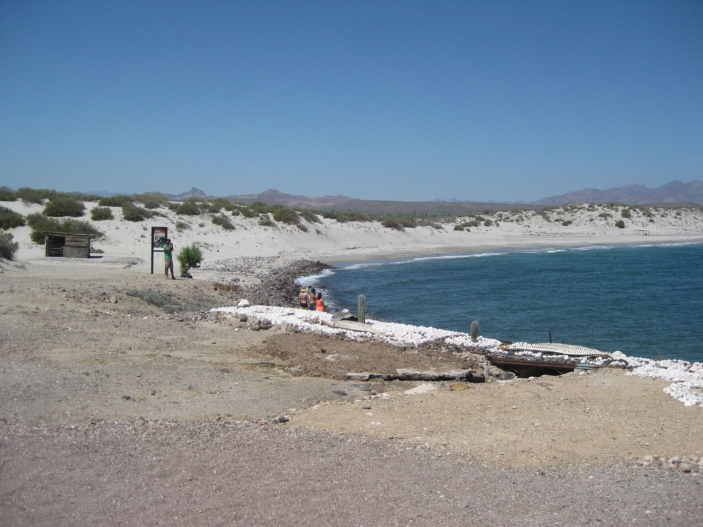
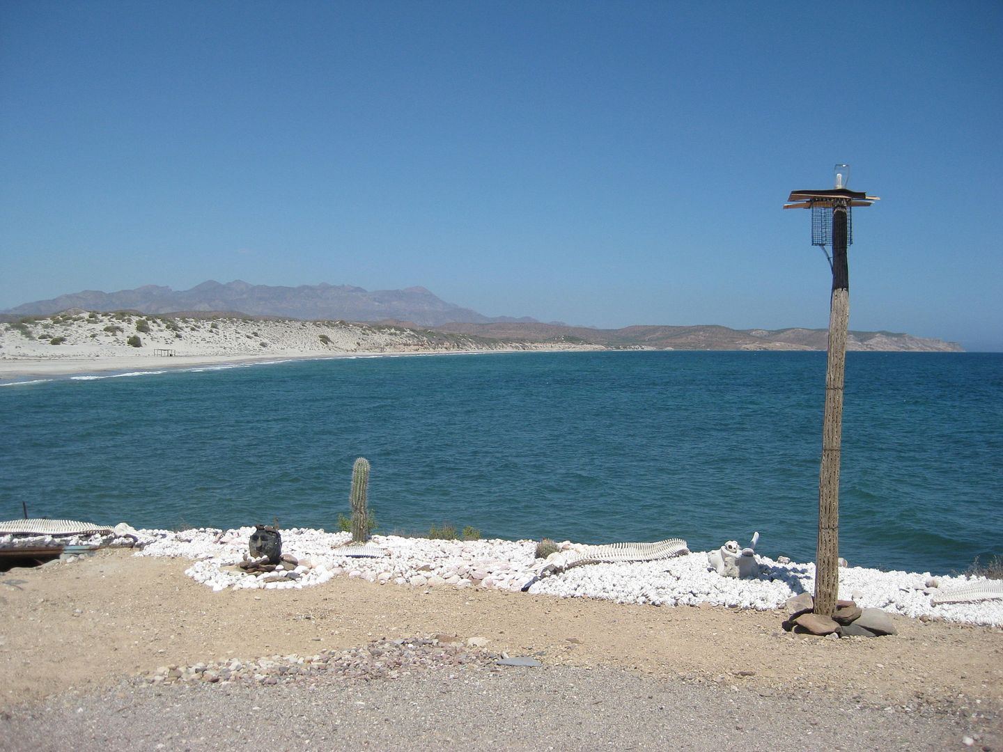
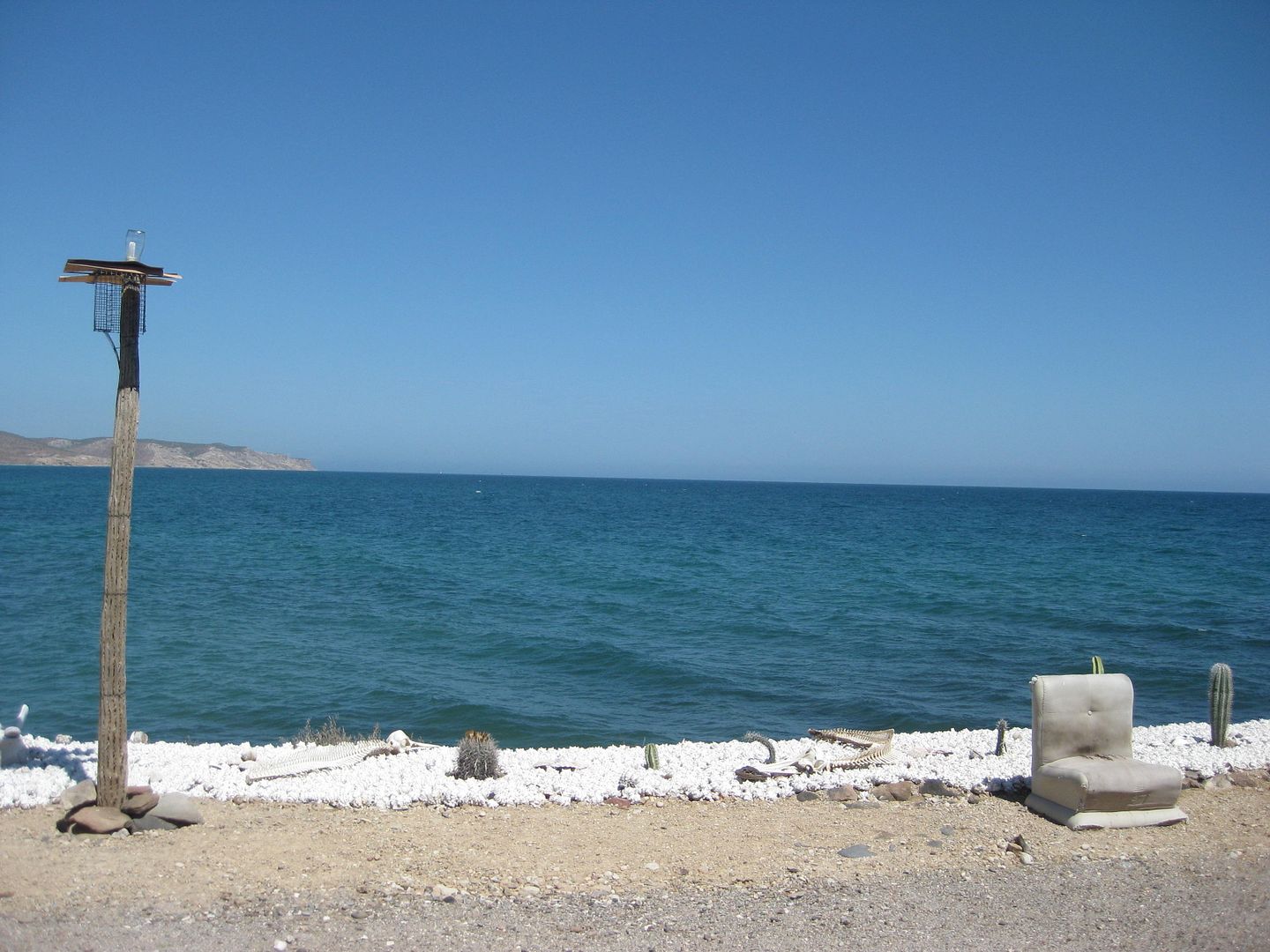
So, I asked Poncho if I could get the word out of anything he might need (he has no vehicle since some meth heads stole his truck)... and he responded
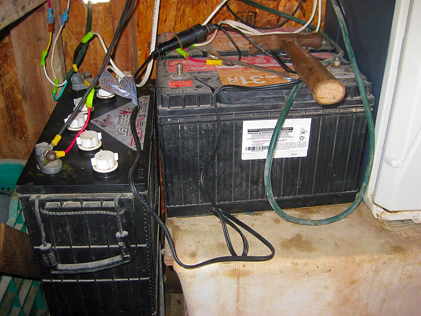
that while his solar panels give him power during the day for radio and his refrigerator/ freezer, his batteries were shot and all three no longer
held a charge so he is in the dark at night. Here is a photo of two of them (I am not sure how many he needs, if more than one?).
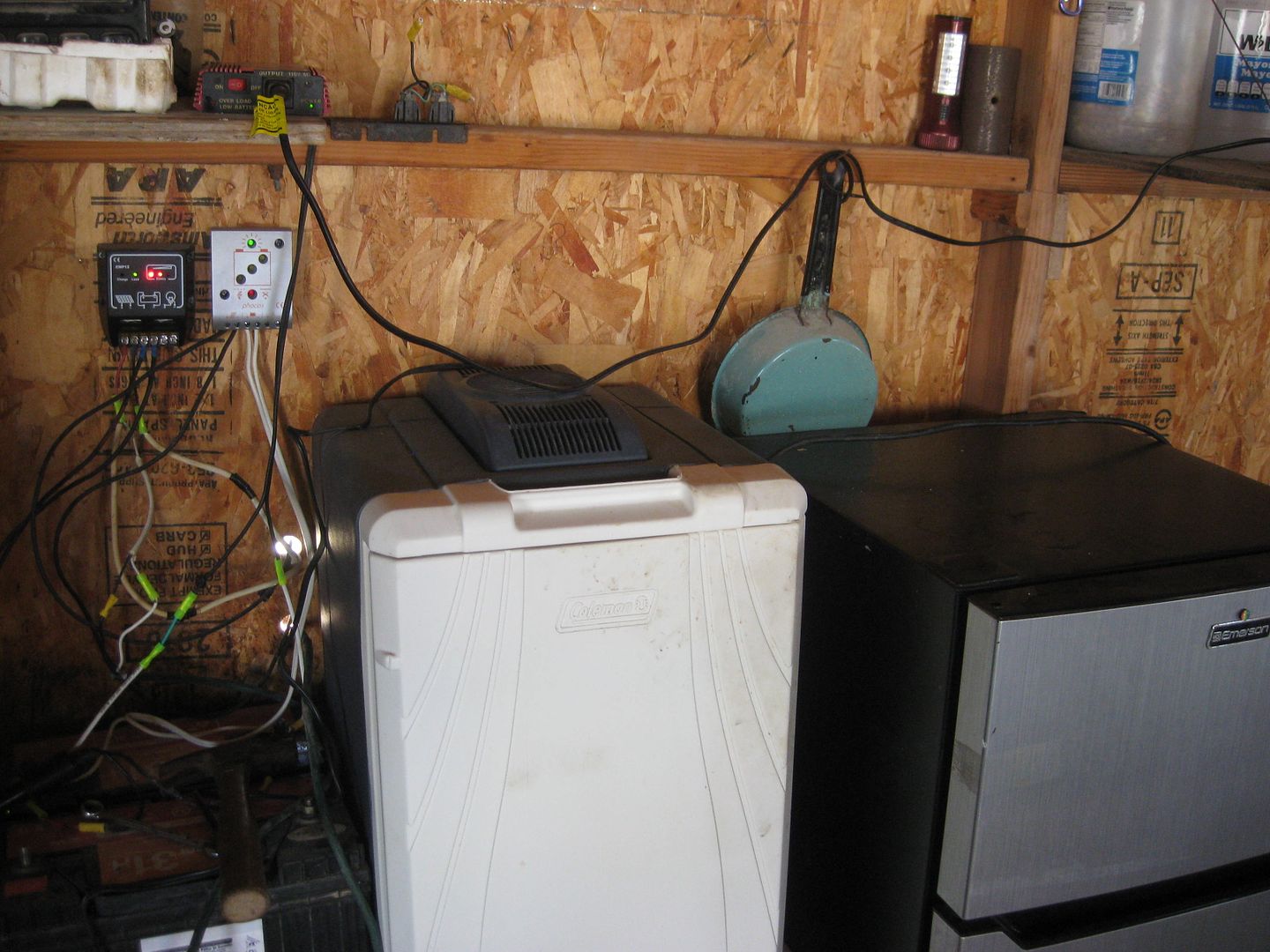
Poncho keeps his place super clean and decorated. He protects the turtle eggs from coyotes when they are in the beach sand, he tells us.
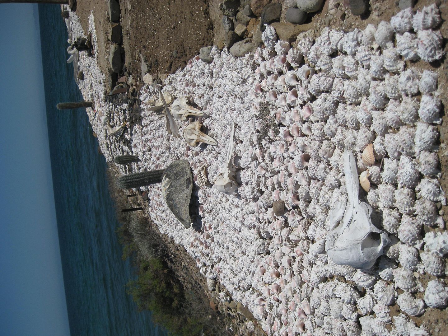
Poncho gives a gift of sea shells to the two females in our group. Everyone is blown away by how humble this man is and does not complain about his
situation in life, alone here.
Time to move on down the road...
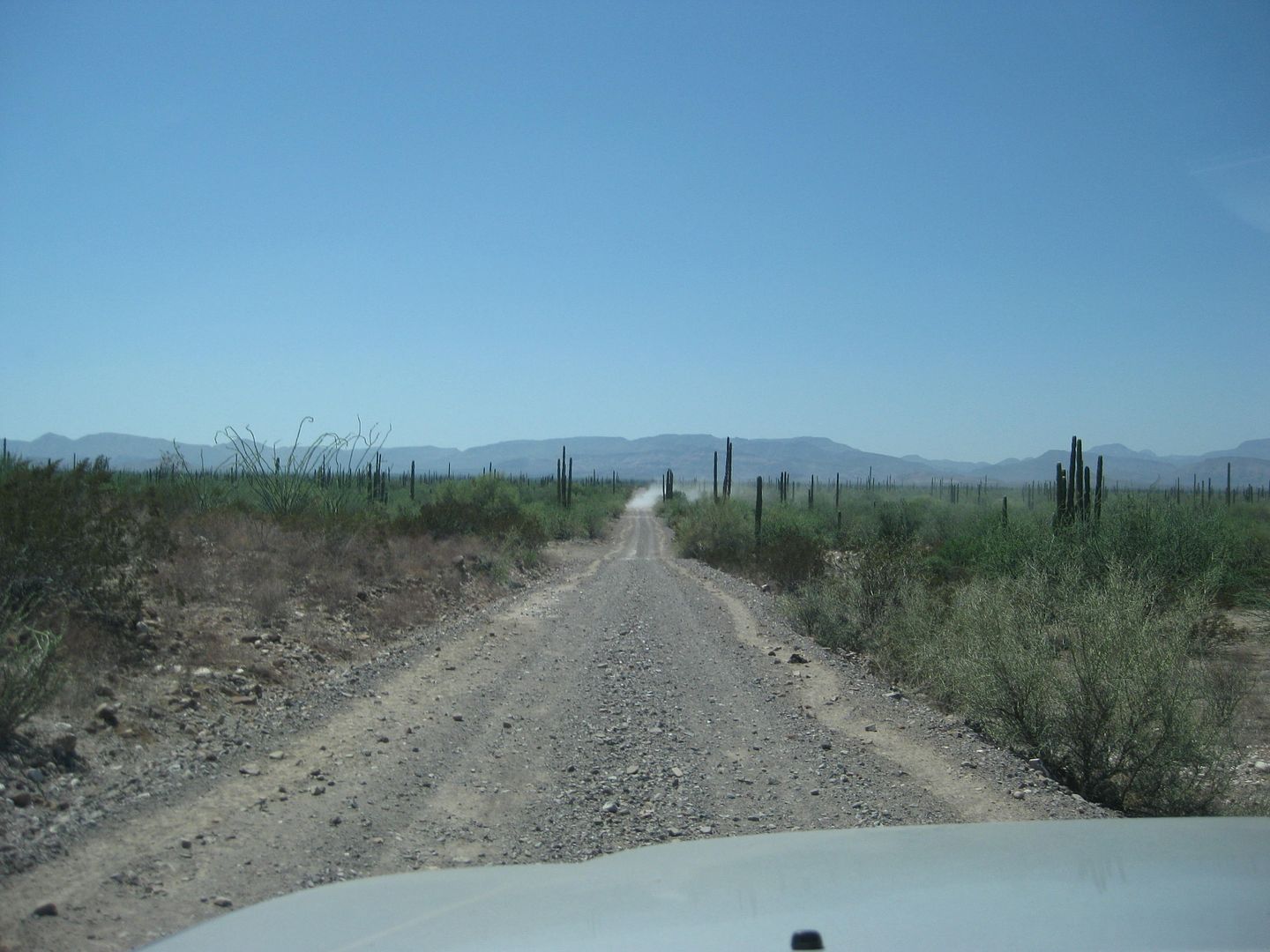
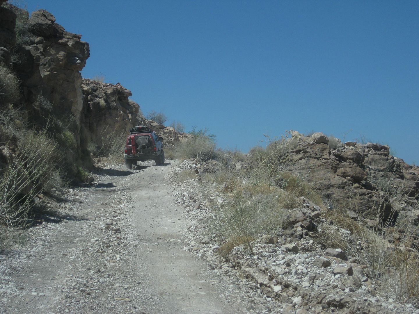
Natural or man-made? >>>
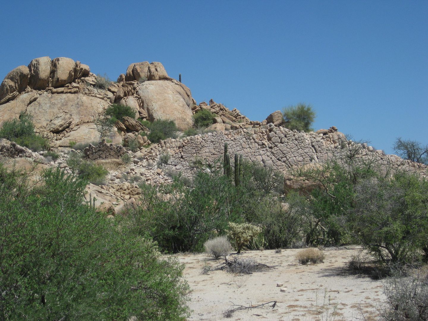
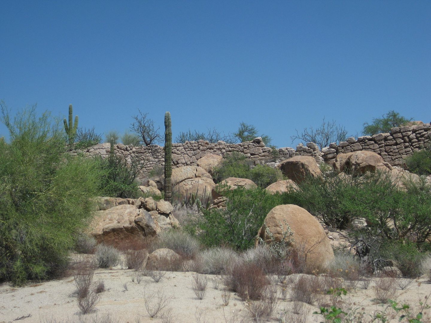
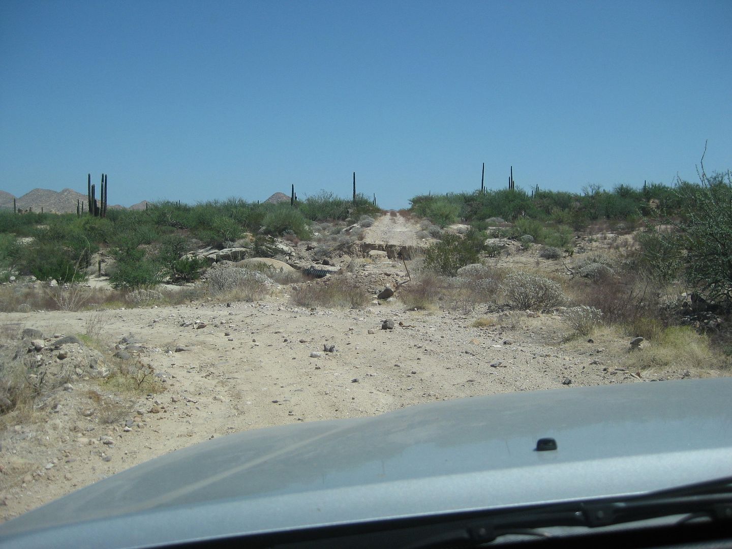
There are a few detours on the trip.
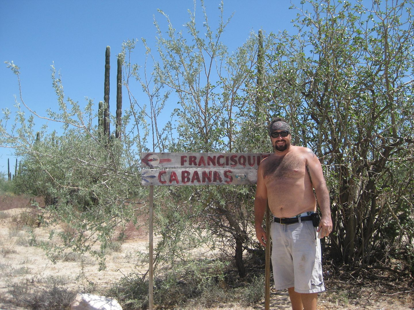
We do not go to San Francisquito today... just so much Baja... and so little time!
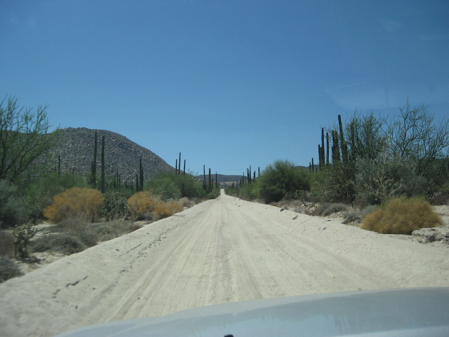
More great roads!
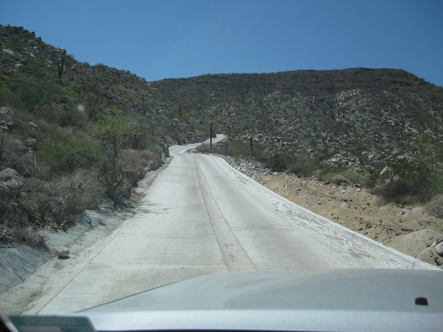
Cuesta de la Ley grade is now concrete!
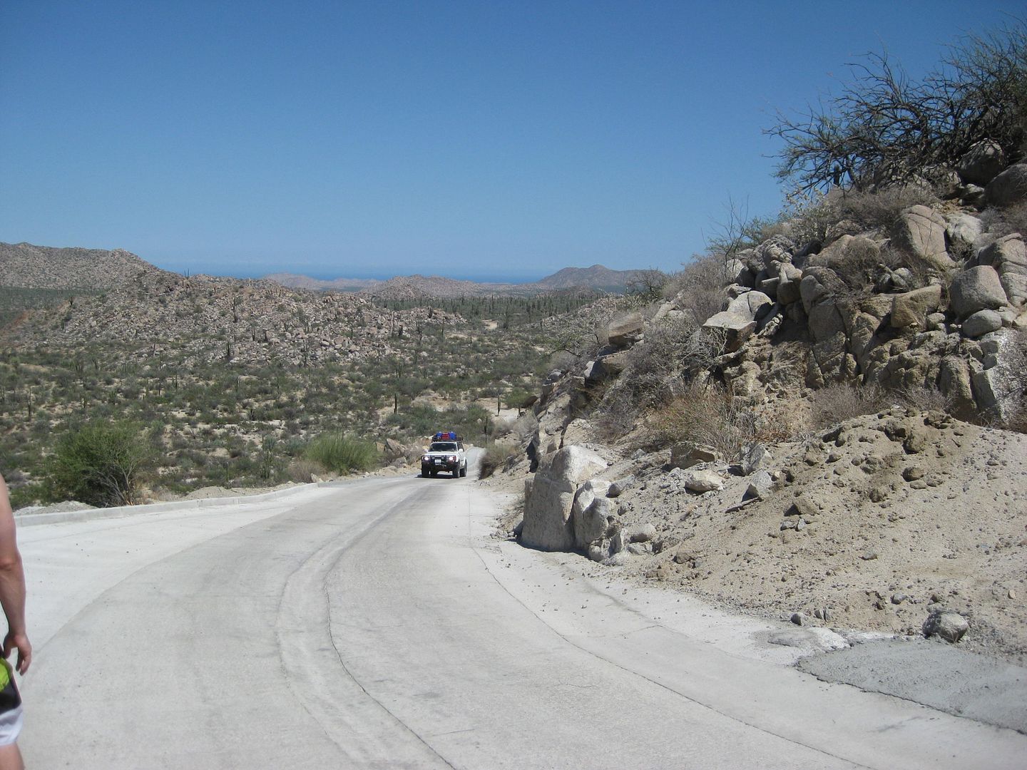
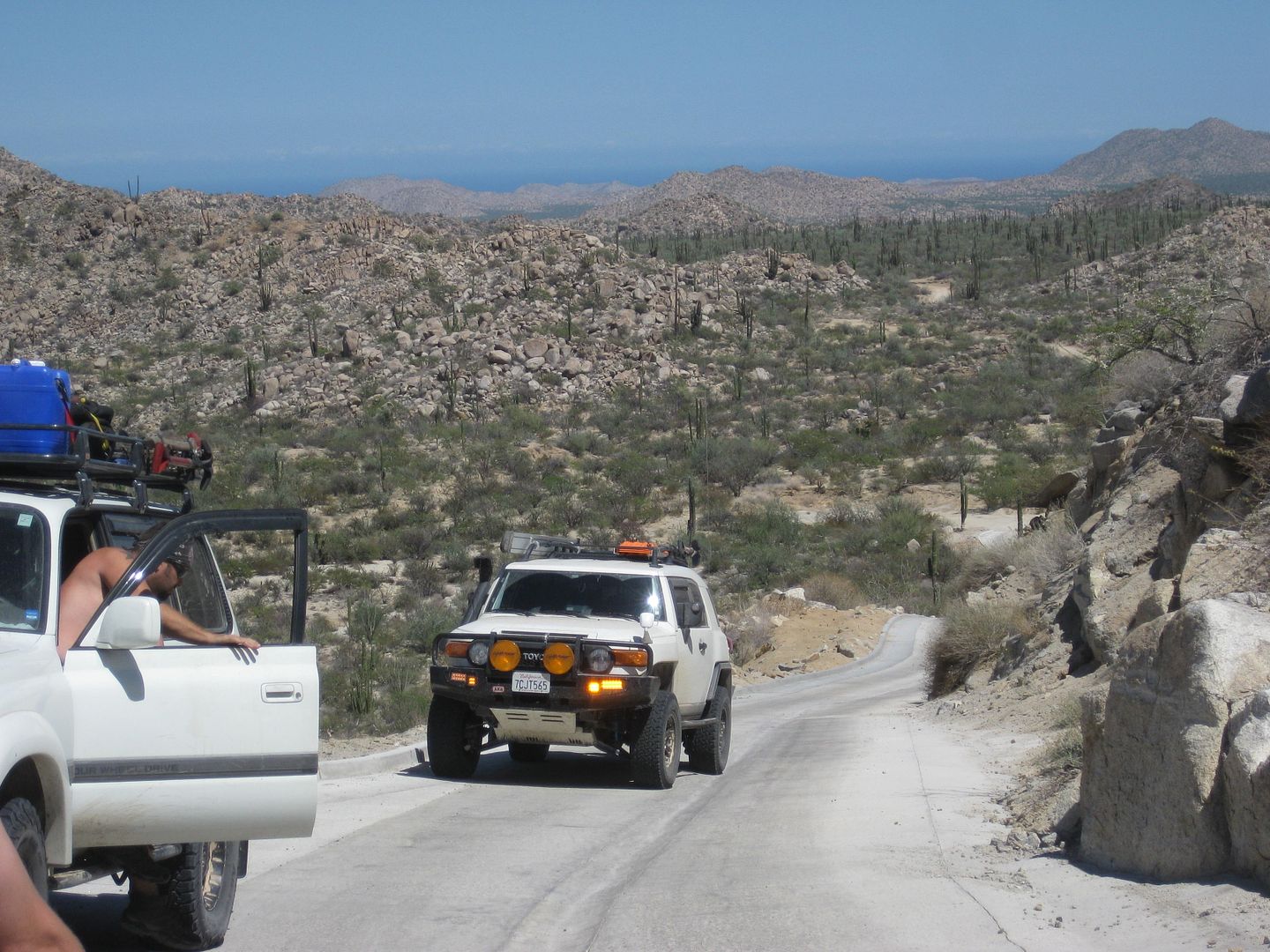
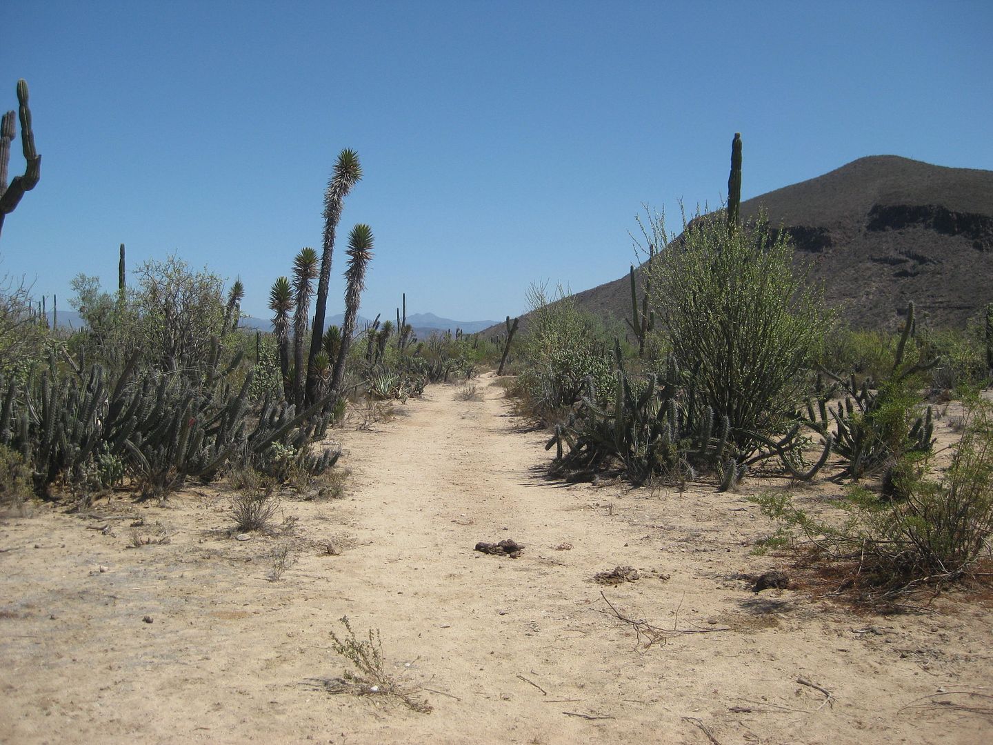
Looking south from the graded road, this is EL CAMINO REAL, the King's Highway (Royal Road) from about 1759 to 1930s when autombobles arrived in Baja,
replacing mules and burros.
=======================================================================
To be continued!
|
|
|
Skipjack Joe
Elite Nomad
     
Posts: 8088
Registered: 7-12-2004
Location: Bahia Asuncion
Member Is Offline
|
|
Slam bam thank you Baja.
|
|
|
David K
Honored Nomad
        
Posts: 65402
Registered: 8-30-2002
Location: San Diego County
Member Is Offline
Mood: Have Baja Fever
|
|
Indeed it was what they wanted to try and do... and they were stoked to see as much of Baja as we saw! Hard to show 50 years of Baja travels in 11
days, but now they have an idea of why I say, "So much Baja... so little time."
More trip report and photos coming tomorrow...
[Edited on 9-23-2016 by David K]
|
|
|
David K
Honored Nomad
        
Posts: 65402
Registered: 8-30-2002
Location: San Diego County
Member Is Offline
Mood: Have Baja Fever
|
|
Day 4-B
Many parts of the old mission Camino Real have been overlayed with an automobile road, as it did take the most direct route between missions, visitas,
and sources for water. The newest section of Highway 5, near Coco's Corner is being built on top of some of the mission road... just as much of
Highway 1 was between El Rosario and Tijuana.
It isn't long before we arrive at the parking spot for the steep 1/2 mile climb to see the northernmost example of giant cave art (that we know of). I
need to let some of them know that flip-flops are not appropriate footwear, and once everyone is in boots, I show them the trail up and let them go on
ahead to experience the thrill that my wife and I experienced here, 4 years ago.
Marland takes a photo of the rest of the group...
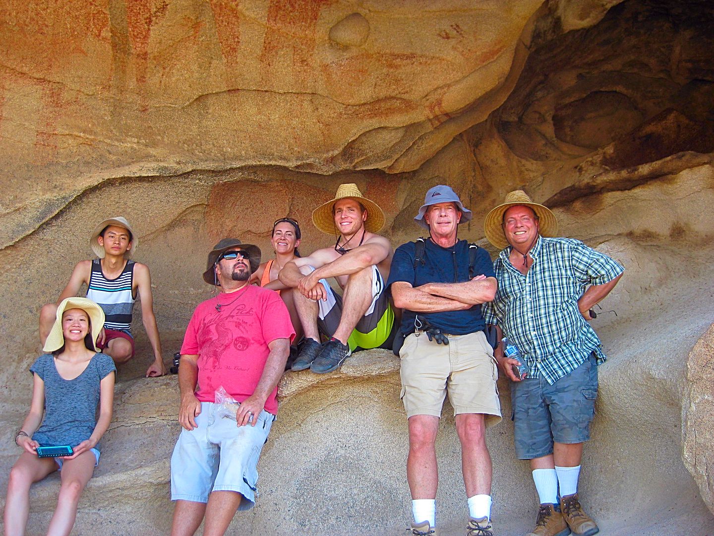
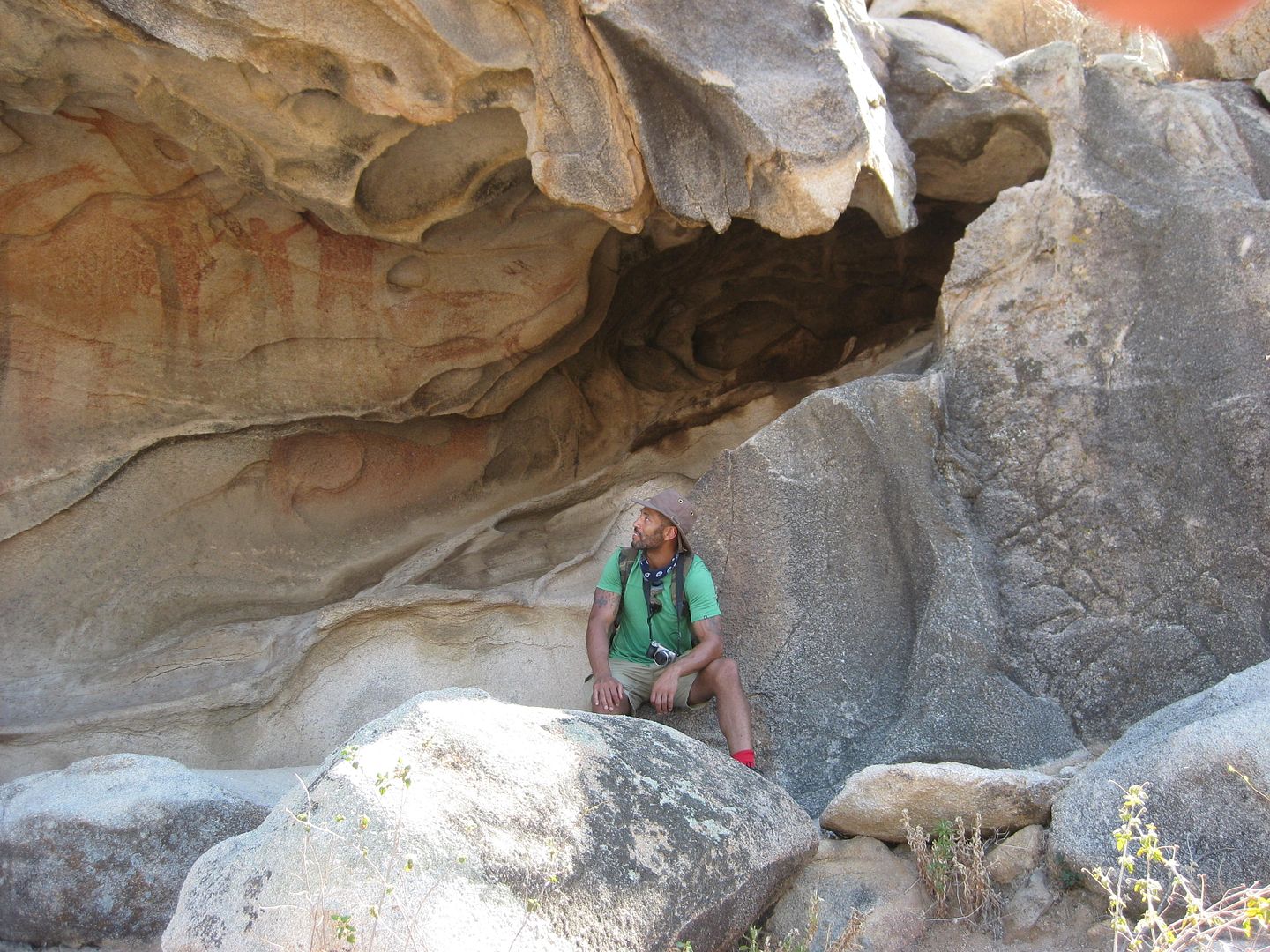
Marland
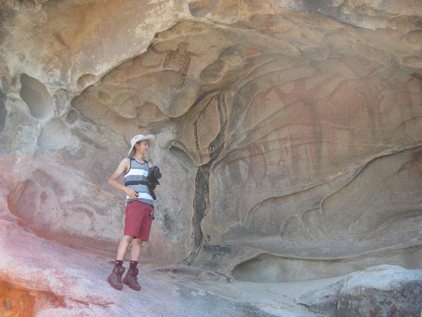
Ham
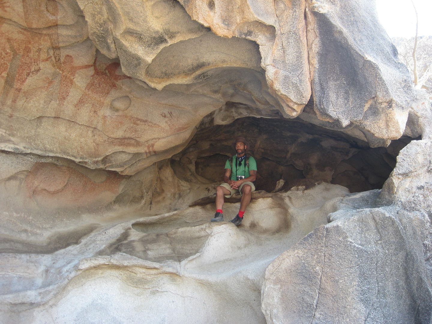
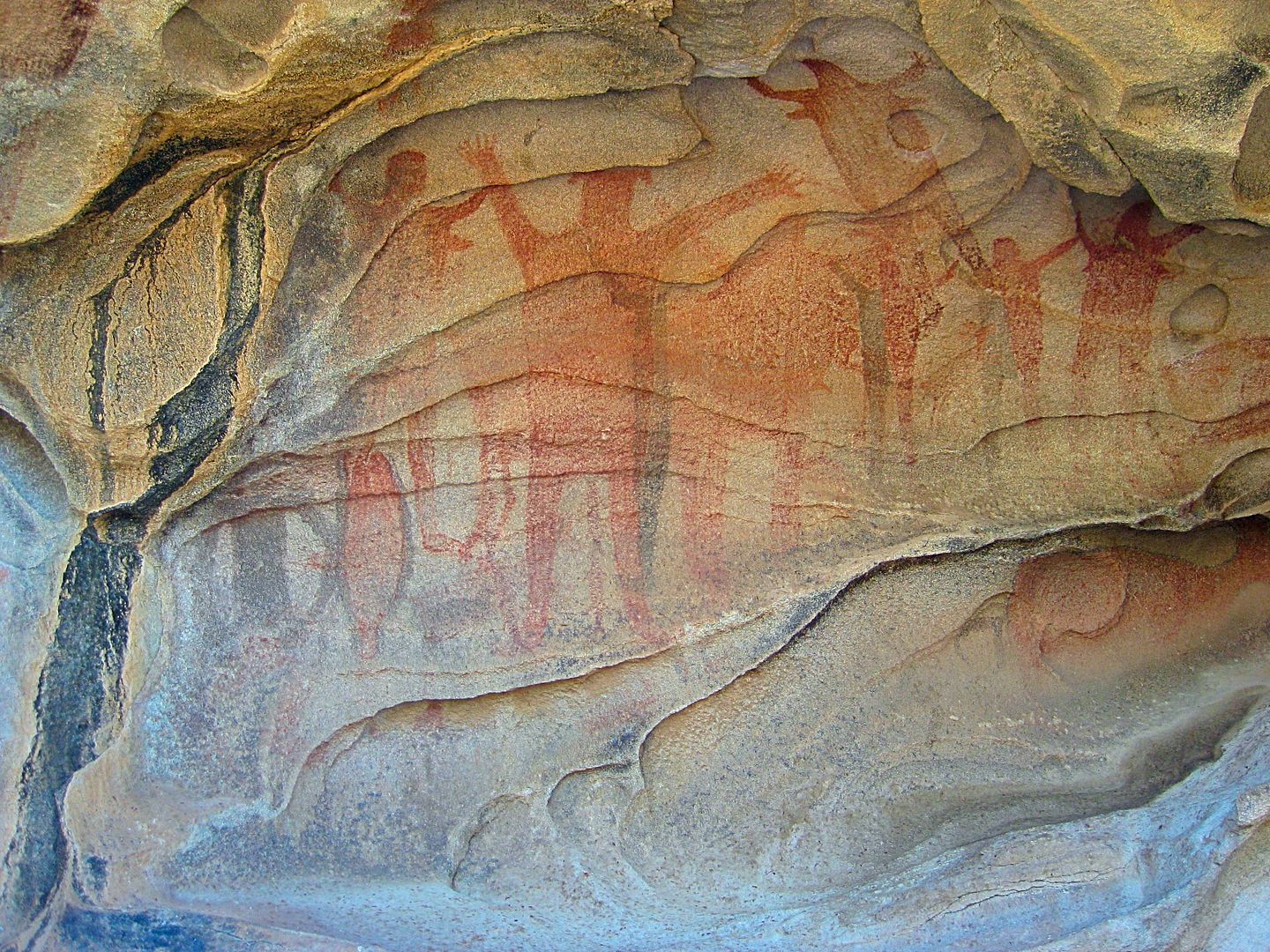
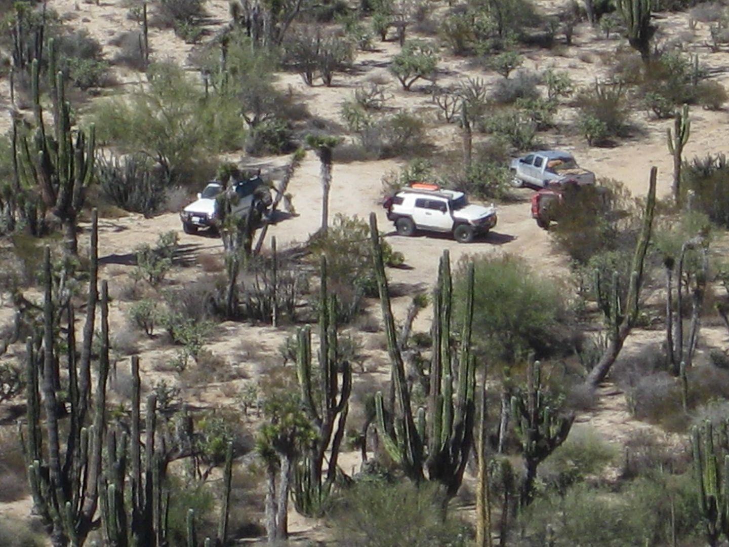
Zoom of the vehicles below.
Next, we go to Pozo Alemán which was an active gold mine town in the early 1900s where some miners lived underground to escape the heat.
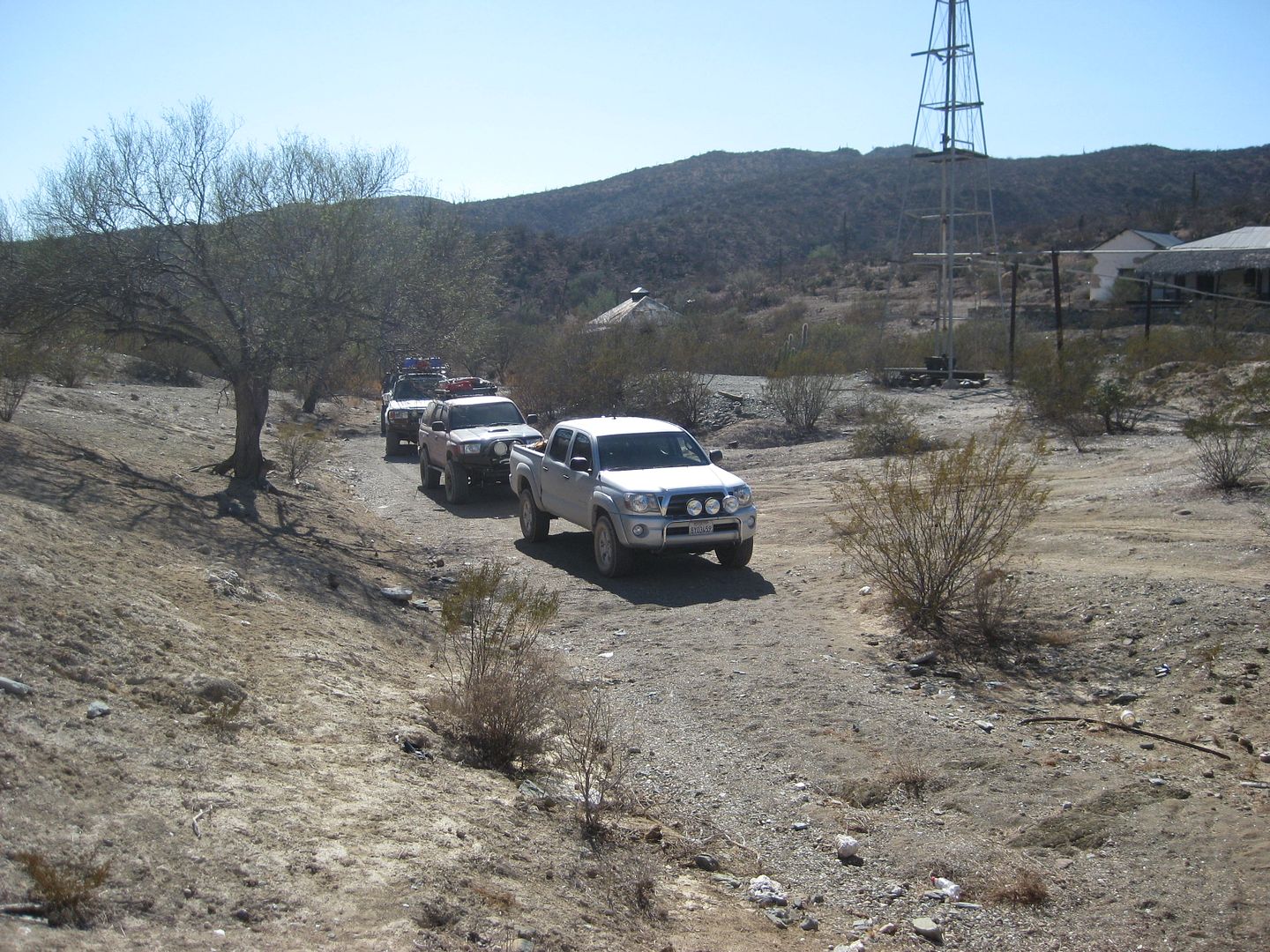
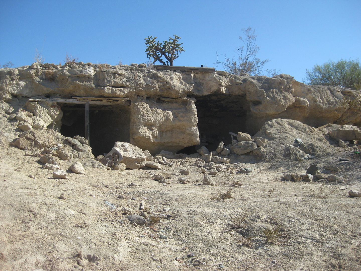
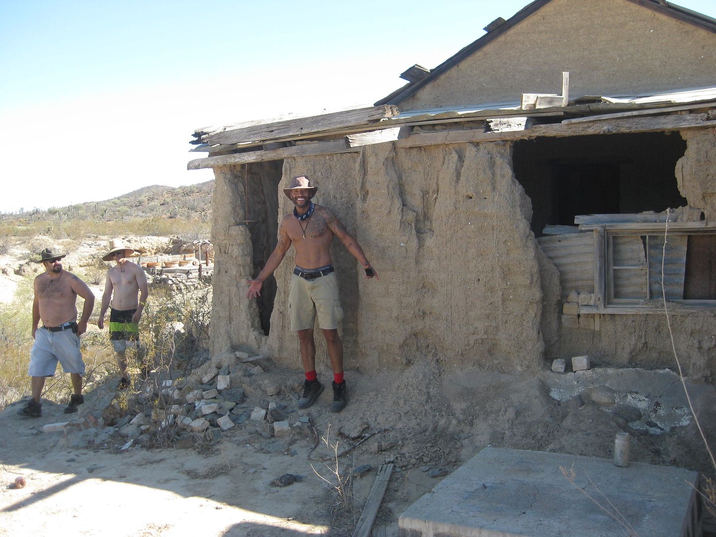
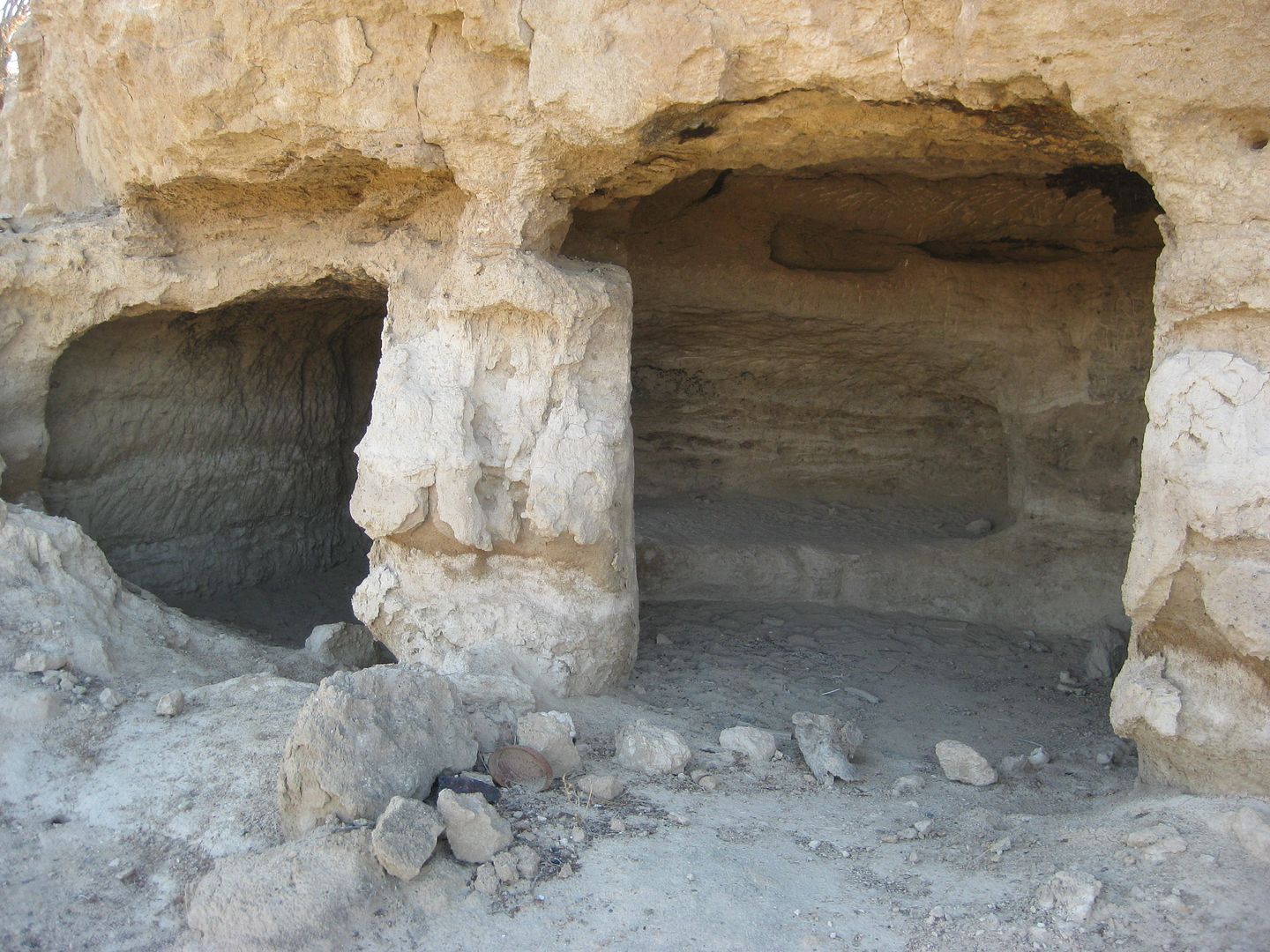
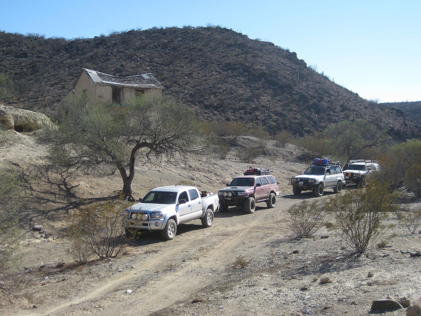
Read about the history of Pozo Alemán in this new article I wrote for Baja Bound: https://www.bajabound.com/bajaadventures/bajatravel/pozo_ale...
|
|
|
David K
Honored Nomad
        
Posts: 65402
Registered: 8-30-2002
Location: San Diego County
Member Is Offline
Mood: Have Baja Fever
|
|
Going from Pozo Alemán south, we connected to the El Arco-Santa Gertrudis road via a direct short cut... only I got onto an older version of the short
cut and we were on some old mine claim tracks before reaching the well graded road that heads east to the mission.
Nick (driving the red 4Runner) radios that his alternator light is on, so we decide to skip the Santa Gertrudis mission and turn south to Highway 1 on
the road through Guillermo Prieto, as the sun goes low in the sky.
Guillermo Prieto was once a large farm center, and I was here in 2001 seeing an active community and kids playing. In 2012, the place was abandoned
and last week, a new goat farm had been established there with goats running about the empty homes and play yard equipment.
Reaching Highway 1, we pumped up the tires for highway driving (from 25 psi up to 35 psi for me) and went the 7+ miles to Vizcaíno, which has become a
huge center, and as we would discover, one of the best auto parts stores in Baja! First, we got gas... after stopping by one parts store north of the
station, but didn't have the alternator.
Gas at the north station, 166 miles from Bahia de los Angeles fill up, at 7:24 pm MST, 600 pesos, 43 liters, 15 mpg all off pavement at lowered
pressure, except for 7 miles.
Across the highway and just a little south was the Pro One auto parts store, and wow did they amaze us! They had the Toyota alternator for the
4Runner, as well as some other things Nick wanted to get... We drove back to the Pemex and in the yard behind the station, in less time it took to buy
it, Nick had replaced the alternator with a new one. That was the end of that issue.
Now dark, the gang was concerned about night driving the 40-some miles to San Ignacio, in the dark. Some may have still not been convinced that the
horror stories of Mexico travel were hokum. The only concern would be range cattle and burros on the road. We saw both but drove cautiously. No
banditos, no drug cartels, no crooked cops, and no chupacabras!
We arrived at the La Huerta Motel, only one other car was there. Pat and I each got a room (550 pesos, under $31) but the others preferred to camp
next to their trucks in the parking lot by the animal cages, and negotiated with the clerk for a camping fee, which seemed to really shock her when
the rooms were so nice and inviting!
It all worked out well, we all had a great sleep following Chef Jesse's fantastic pulled pork dinner!
Coming up next, Day 5: Mission San Ignacio, Santa Rosalia, Mission at Mulegé, Bahia Concepcion, Playa Buenaventura rocks us with food and drinks, the
far side of the bay, and a long, scratchy night!
========================================================
[Edited on 9-23-2016 by David K]
|
|
|
BajaGeoff
Super Nomad
   
Posts: 1727
Registered: 1-11-2006
Location: San Diego and Campo Lopez
Member Is Offline
Mood: Heading To Baja!!!
|
|
Wow...I am really surprised to see that Cuesta de la Ley is paved since it is such a remote area! I went through there with a trailer to run a pit for
the NORRA back in 2012 and it was terrible!
Love the painted cave at El Carmen too! That is such a special spot!
|
|
|
Skipjack Joe
Elite Nomad
     
Posts: 8088
Registered: 7-12-2004
Location: Bahia Asuncion
Member Is Offline
|
|
Quote: Originally posted by BajaGeoff  | Wow...I am really surprised to see that Cuesta de la Ley is paved since it is such a remote area! I went through there with a trailer to run a pit for
the NORRA back in 2012 and it was terrible!
Love the painted cave at El Carmen too! That is such a special spot! |
I'm surprised as well. After they rerouted that road it became a cinch going over that pass. 4wd was no longer needed. Can't understand why they paved
it. And who paved it.
|
|
|
David K
Honored Nomad
        
Posts: 65402
Registered: 8-30-2002
Location: San Diego County
Member Is Offline
Mood: Have Baja Fever
|
|
My guess is there are a lot of supply (+ cattle and fish) trucks traveling to/from El Barril and maybe the San Francisquito cove?
|
|
|
TMW
Select Nomad
      
Posts: 10659
Registered: 9-1-2003
Location: Bakersfield, CA
Member Is Offline
|
|
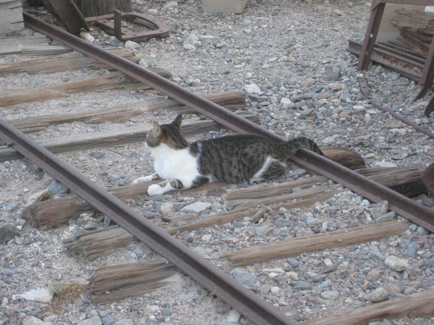
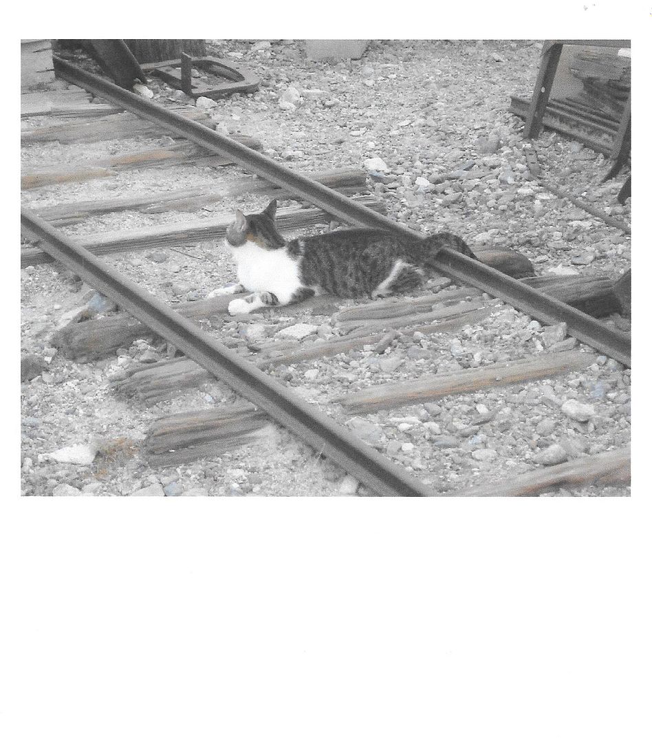
When or if a train comes thru he/she will become a Bobcat. Thanks David for the tour and great pictures.
|
|
|
David K
Honored Nomad
        
Posts: 65402
Registered: 8-30-2002
Location: San Diego County
Member Is Offline
Mood: Have Baja Fever
|
|
DAY 5 of 11(Tue. 9-13-16)
We pack up at La Huerta, get more ice at the store in front of the motel (they are building a restaurant on the motel grounds now), and drive the
short distance to the town plaza to have breakfast and tour the mission, founded in 1728.
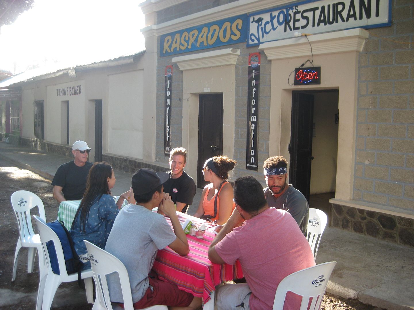
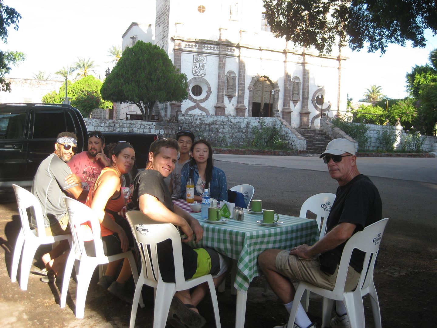
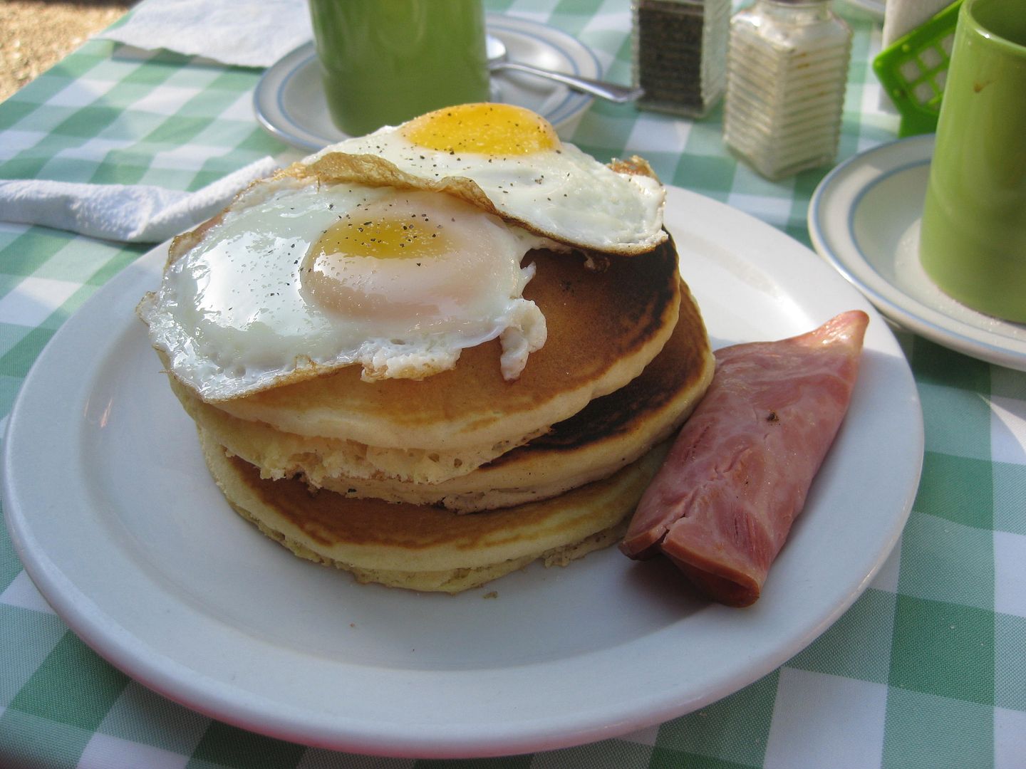
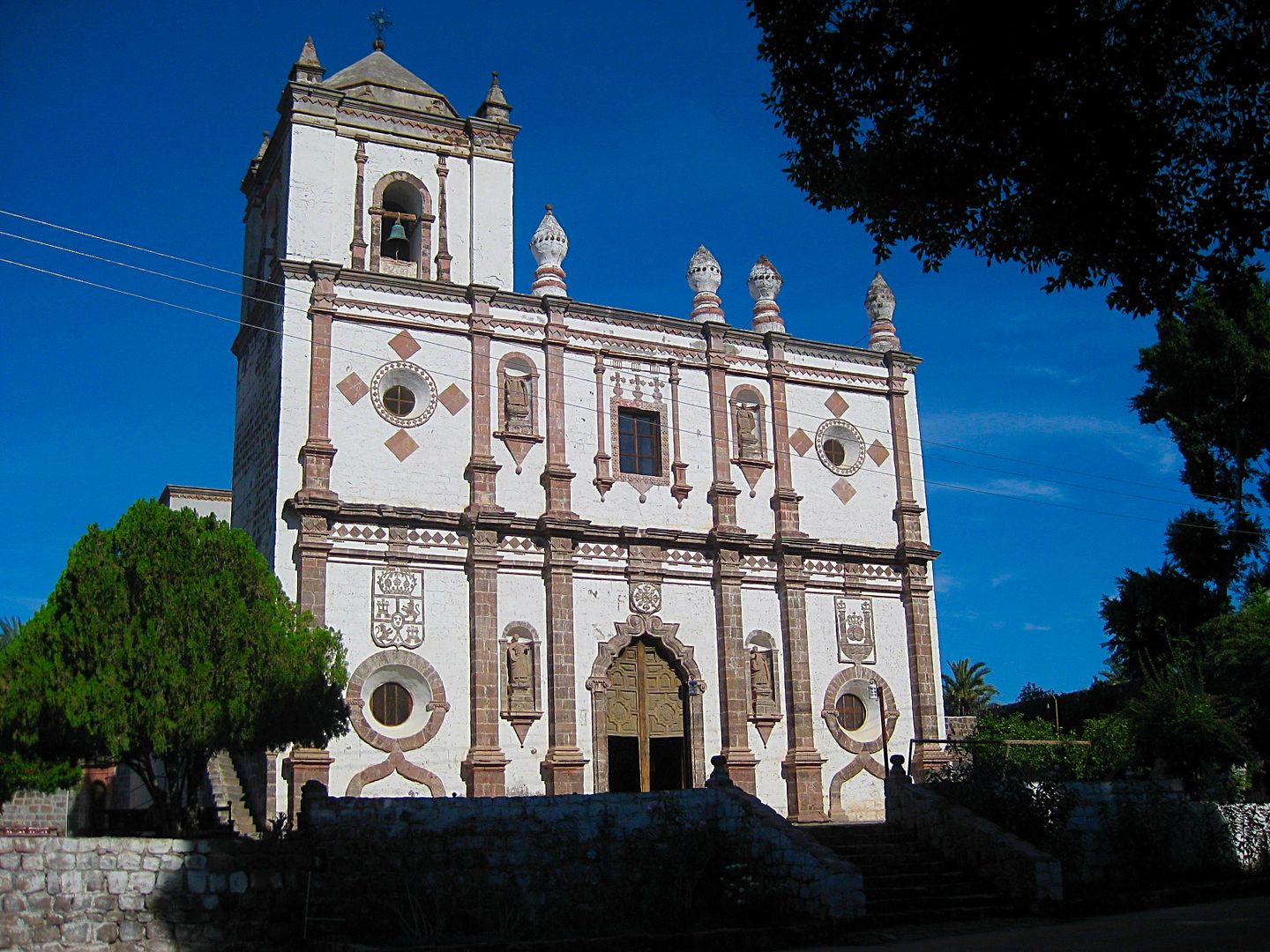

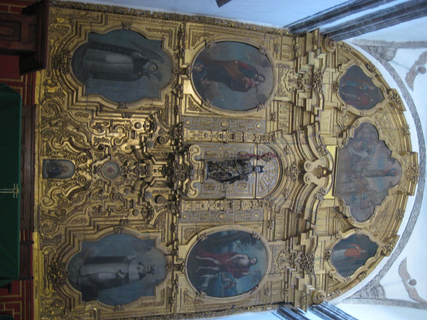
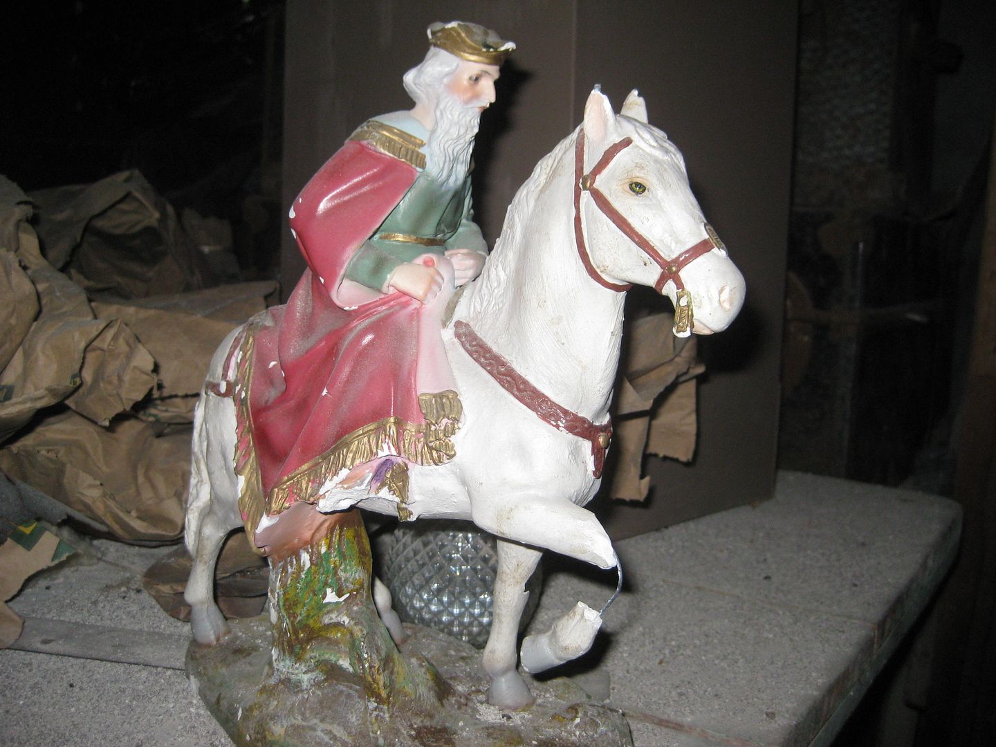
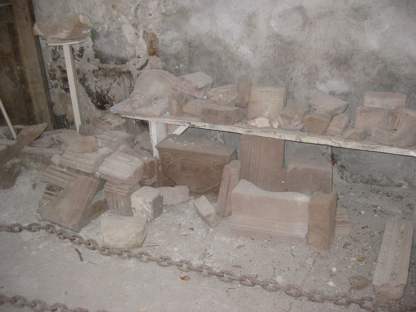
We got a private tour of the mission workshop and saw some artifacts not yet on public display.
Leaving town, we see what was missed coming into town in the dak, last night.
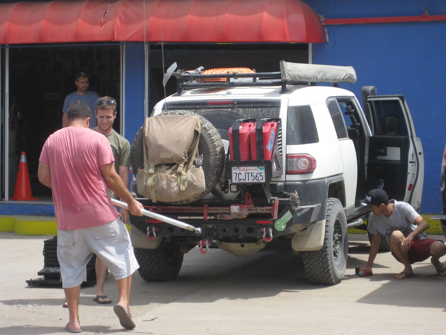
Ham lost a bolt holding a part of his aftermarket suspension to the axle so at Santa Rosalia we stopped at the Pro One auto parts store and Nick and
the others went into action.
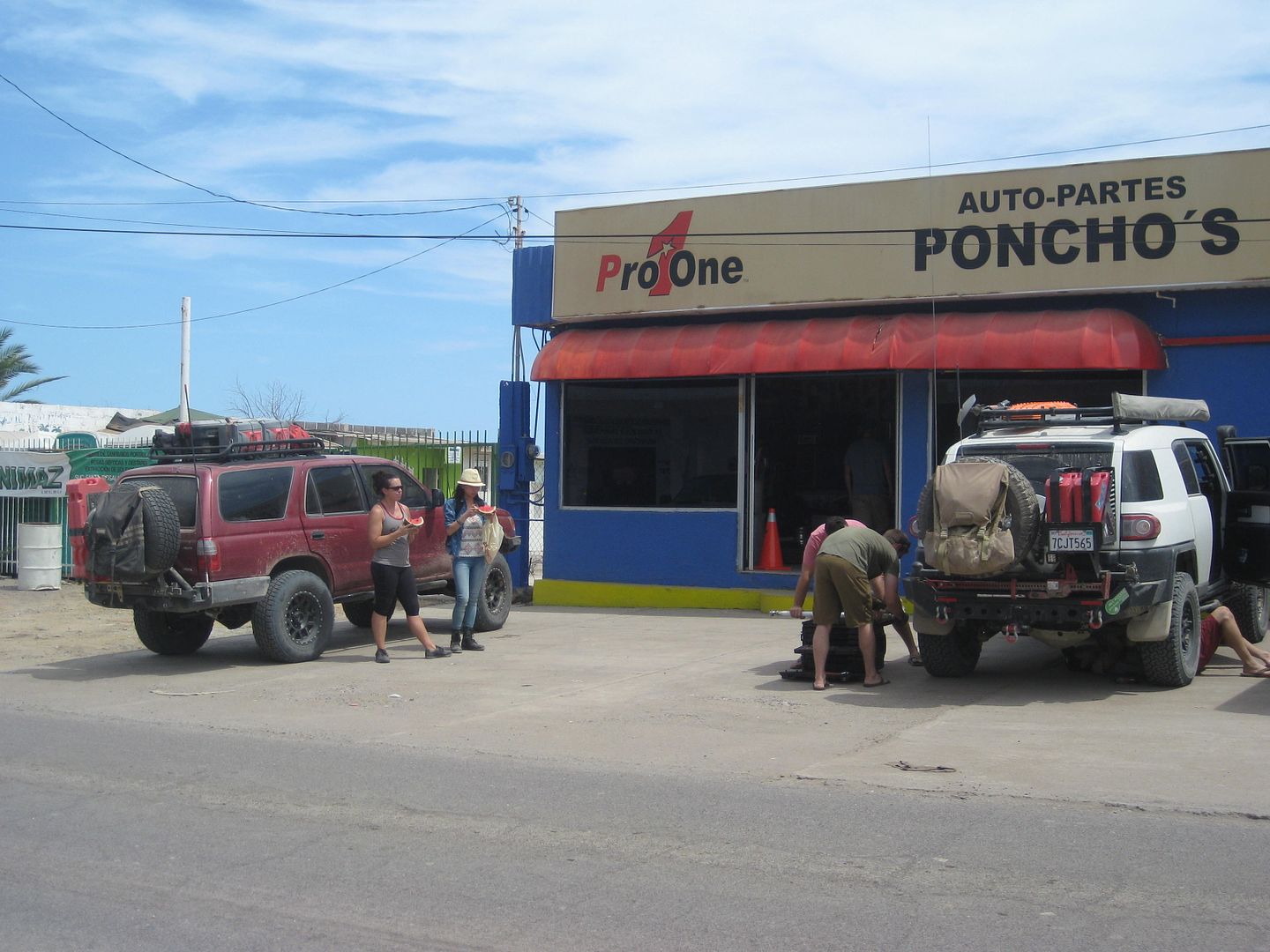
Located north of the harbor, on the sea side of the highway.
In less than an hour, we arrive at Mulegé and tour the 4th California Spanish mission, founded in 1705!
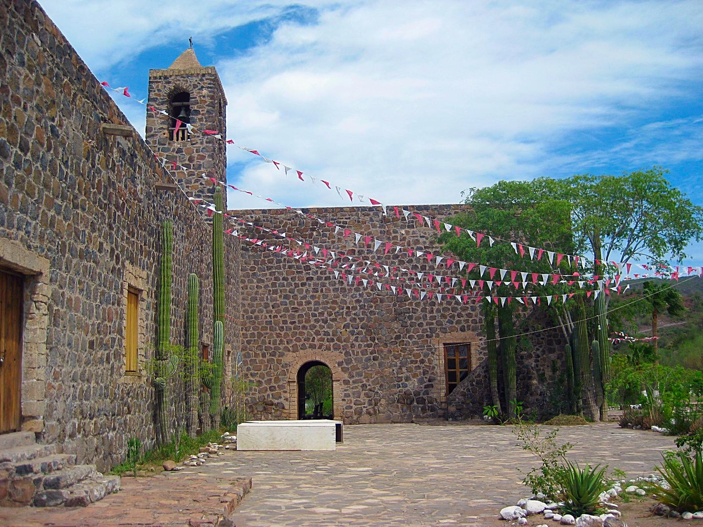
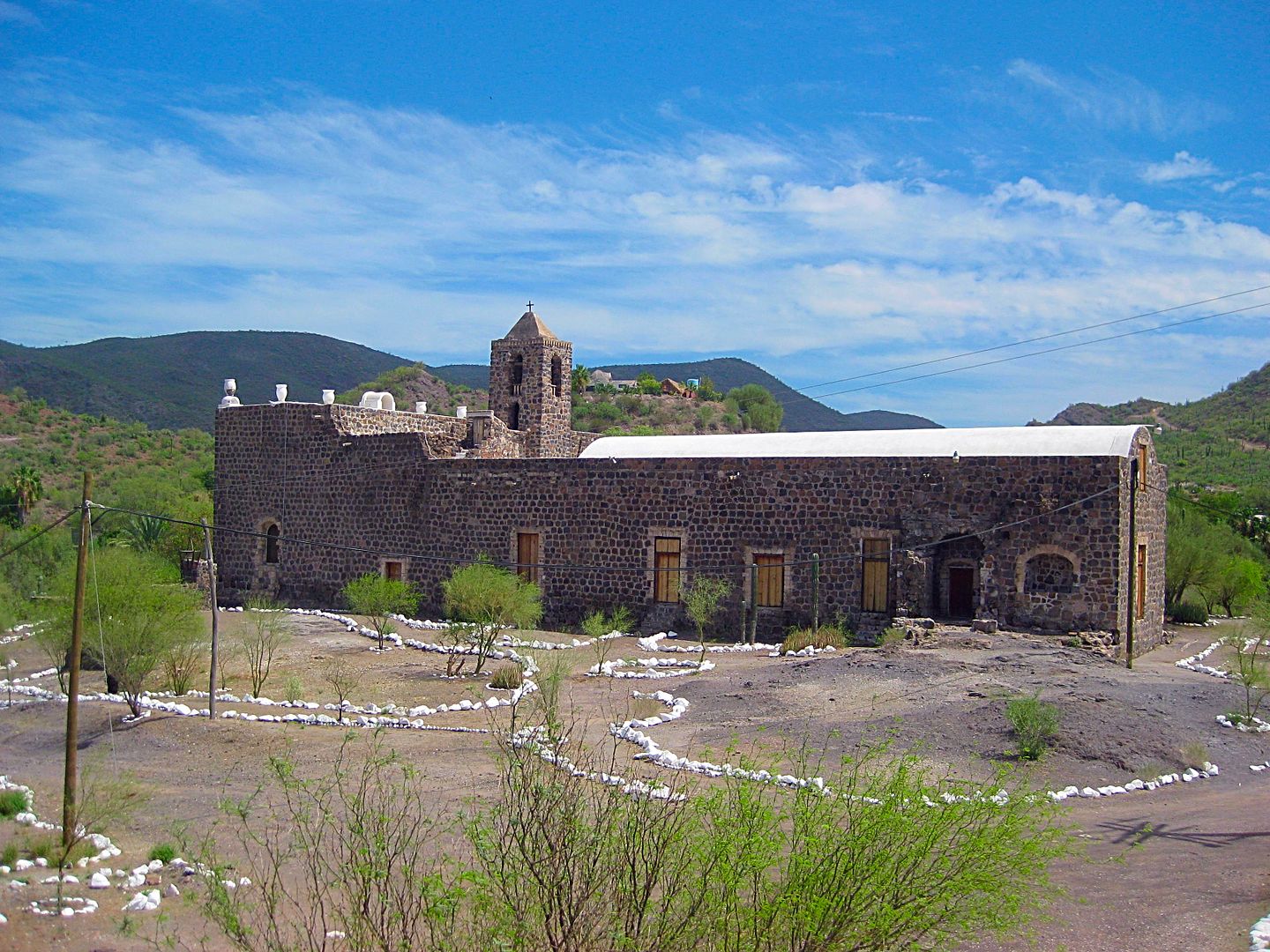
Mulegé is often called the Hawaii of Baja...
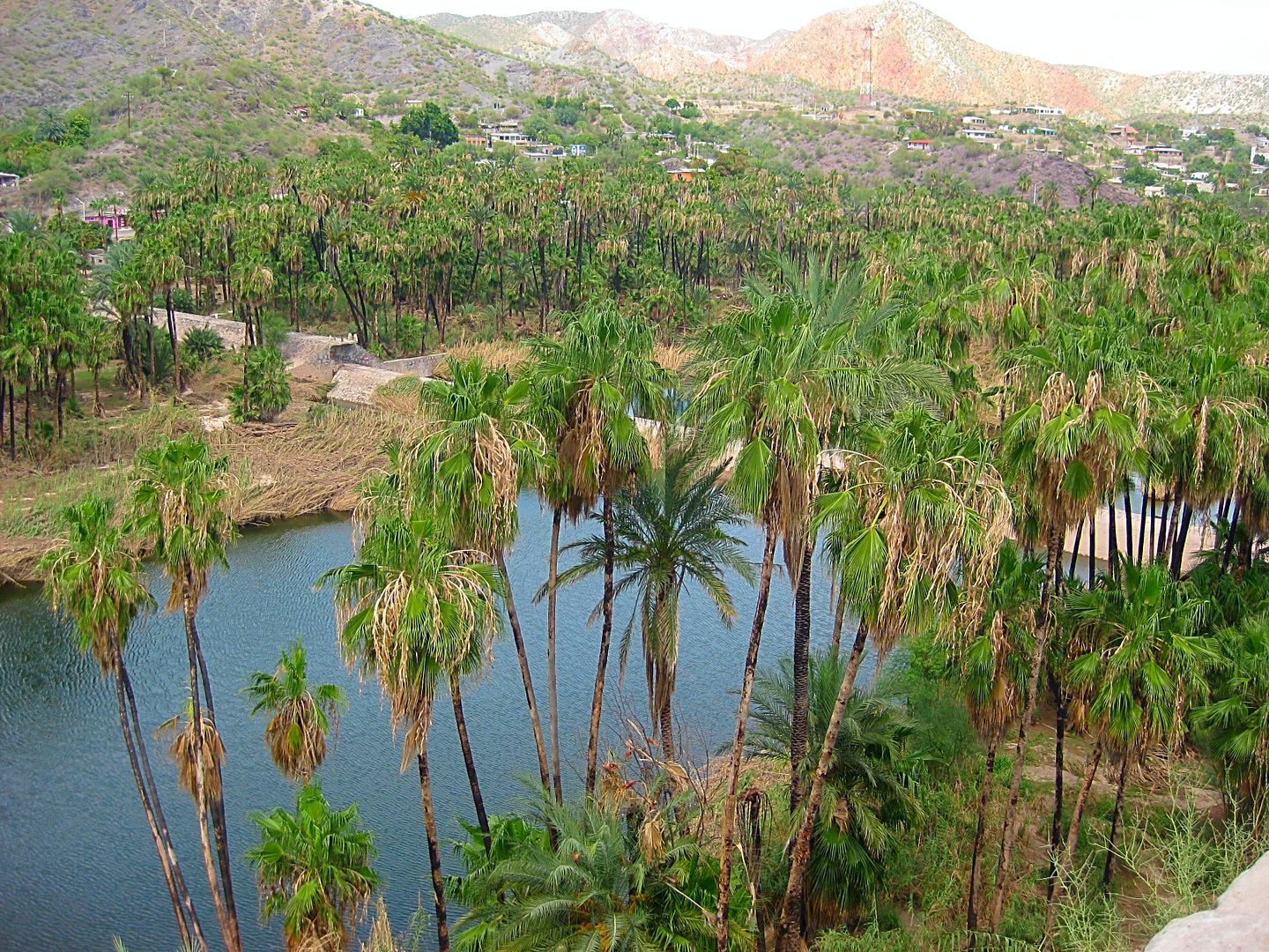
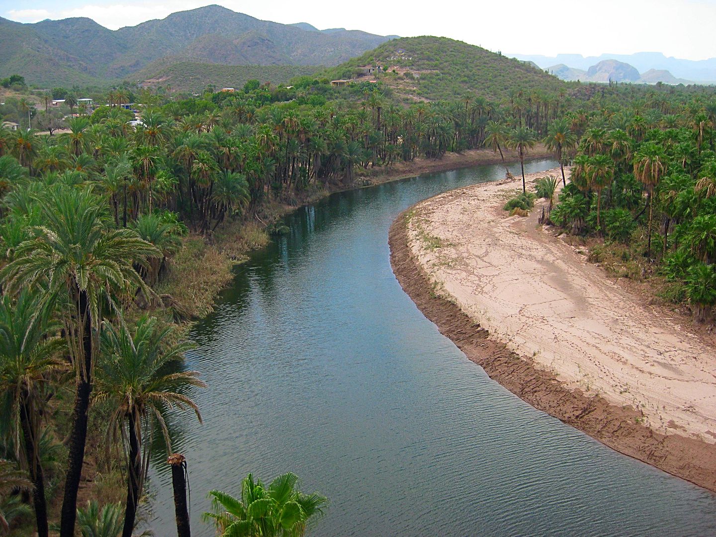
Heading south, we get gasoline and are off to Bahia Concepcion.
Jesse's wish on this trip was to go to the end of the Concepcion Peninsula, no matter what... and while I was concerned that Hurricane Newton may have
done the road in, as it has Hwy. 1 in a few places, I was willing to go, as I also always wanted to see the other side. Some painted cliffs are over
there, too.
First, however, I wanted to take all of them to see Mark & Olivia's Playa Buenaventura Bar and Restuarant. Mark's son, Nathan has been really a
big help and a major asset to the two after so much hell was done to them by the thug who once had the hotel next door... which was given to Mark
& Olivia by the court as a small restitution for years of harassment they endured.
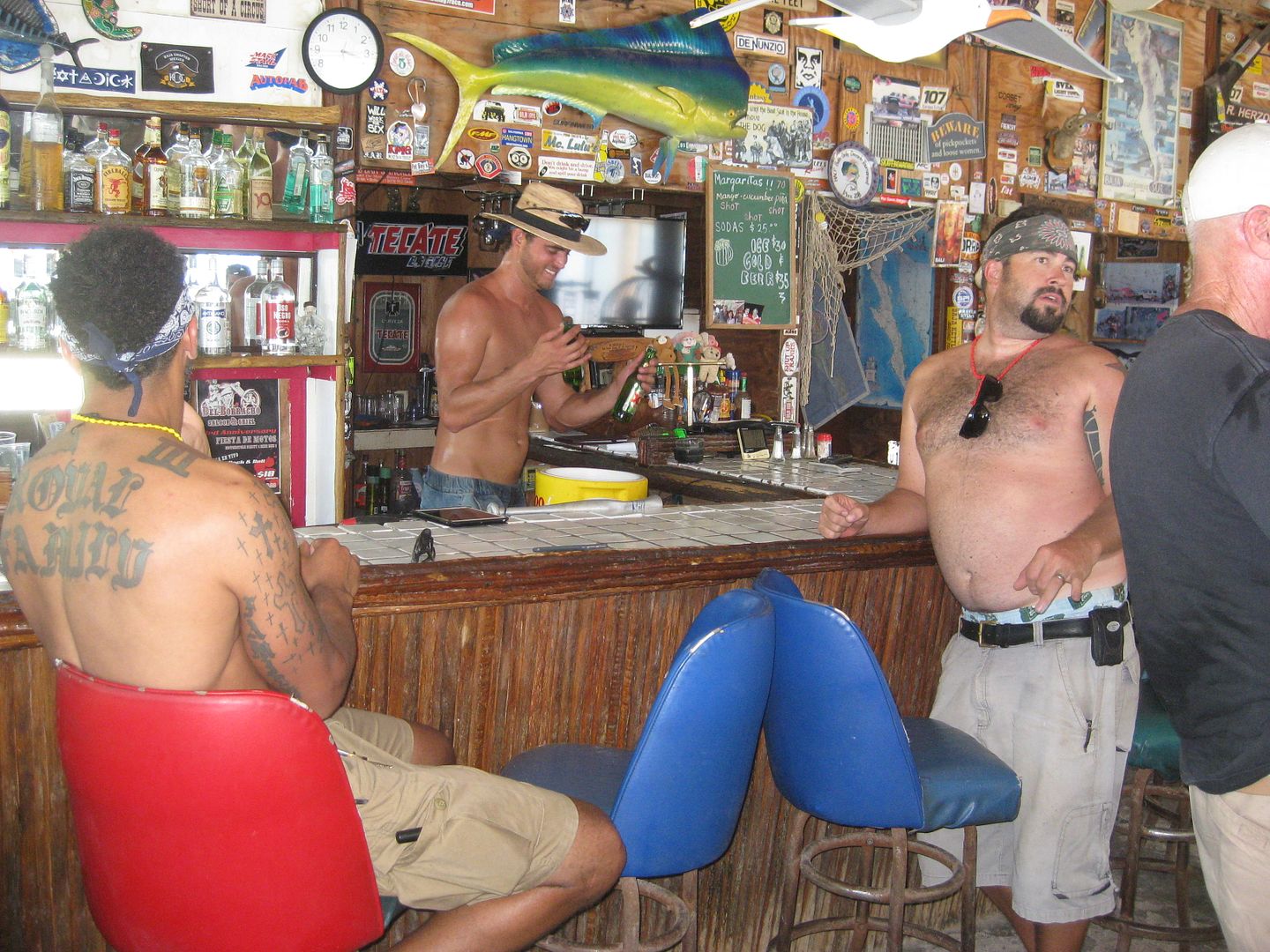
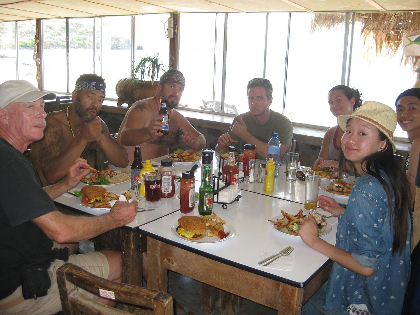
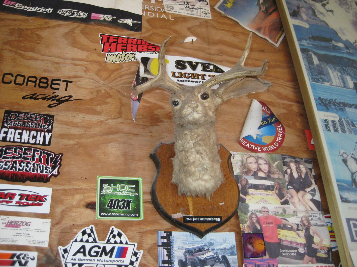
We had a great meal of cheeseburgers, fish sandwiches and Marland had a chicken sandwich. It all arrived at the same time... an amazing thing at some
Baja eateries!
In the next addition, we go to the other side of the bay, and north on the Concepcion Peninsula!
================================================================
|
|
|
David K
Honored Nomad
        
Posts: 65402
Registered: 8-30-2002
Location: San Diego County
Member Is Offline
Mood: Have Baja Fever
|
|
The Other Side of Concepcion Bay
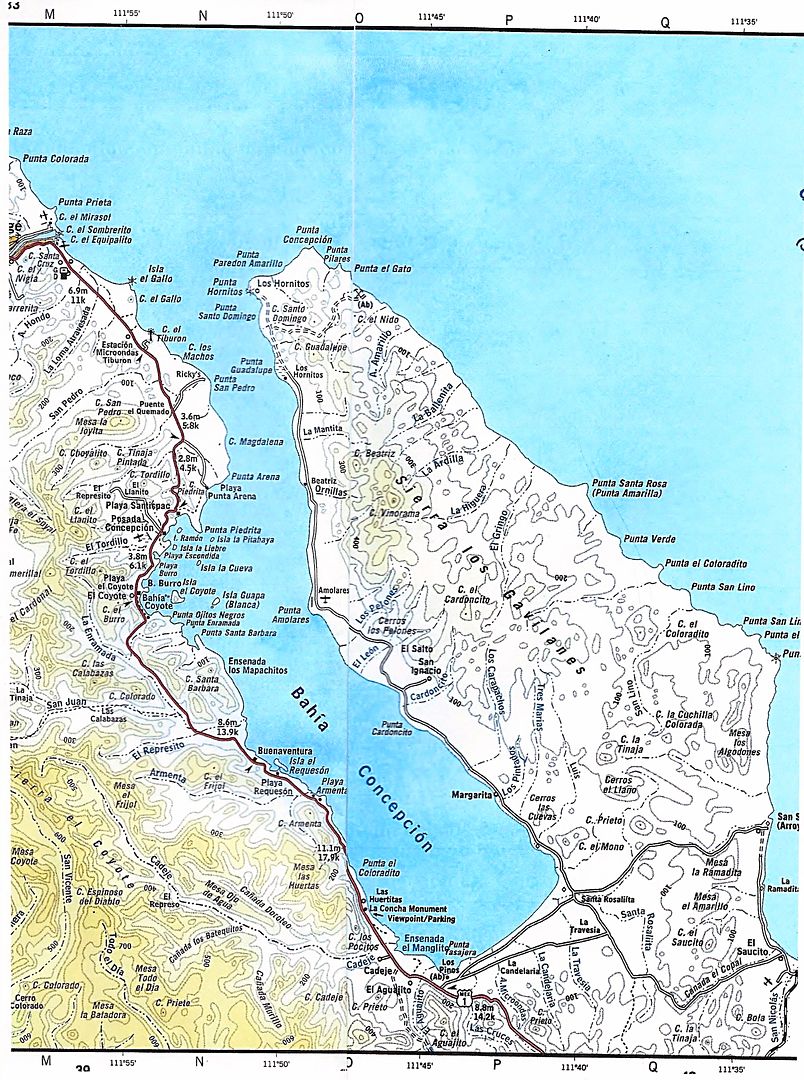
Yes, there are roads on the peninsula that creates the Bay of Concepcion... ranches, too... and a WWII Manganese mine on the east side of the north
end.
Erle Stanley Gardner was curious, but in 1966, he got no answers. He decided it would become a quest! I will write more about it in a future
article...
In the November 1991 issue of Baja Explorer Magazine, Bob Vinton (aka Bicycle Bob or Baja Bob) details the road as do Tom and Patti Higginbotham in
their 1996 central Baja guidebook, 'Backroad Baja'. So, we weren't flying blind into the unknown. Heck, the AAA Baja map even shows the road, as do
the Baja Almanac map books.
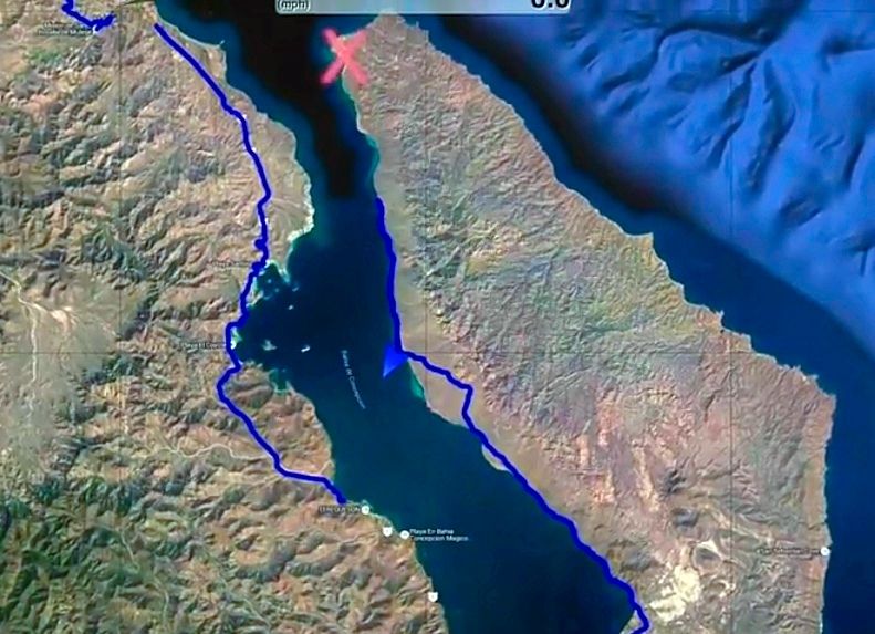
Mark at Playa Buenaventura gave us the latest scoop in that the original road around the bottom of the bay at Km. 76 should be avoided due to a mud
field near the abandoned government trailer park. Go another mile south or so, to the newer ranch road left (just north of Km. 74).
That is exactly what we did, and deflated our tires for some serious off roading that would last until midnight!
Leaving Highway One, our new off road adventure begins!
These mileages may vary with your odometer, use them only as a general guide. May the Force be with you!
A cattle ranch is passed at 0.4 mile.
At Mile 1.0 we join the old, pre-1970 main Baja road, that comes in from Km. 76 off Mex. 1.
At Mile 3.7 the main route of travel forks left for the bay.
At Mile 4.7 the road closest to the bay from the trailer park comes in from the left.
At Mile 5.6 fork to the left heading north.
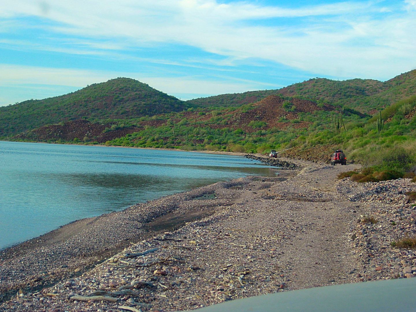
At Mile 6.6 the road is next to the bay and going northbound.
At Mile 8.2 a road we used on the return (Ham's Shortcut) meets the coast road.
At Mile 9.9 (just north of three cardón cactus growing side-by-side (and called The Three Musketeers) is the wash/ route to Los Pintados rock art. On
the report for tomorrow, learn how we missed finding it and what we found instead!
Around Mile 13, the road goes inland as the coastline curves off to the west.
Mile 15 come close to the bay again briefly, then head towards the mountain.
Mile 16.8, curve left and head back downhill towards the bay.
Mile 19.4, reach a salt flat-like area near Punta Amolares. We camped near here about midnight
Mile 25 End of the road for us, a "grand canyon" gully stops us about 11pm+
We estimate we are about 7-8 miles short of our goal, a sandy beach called either "Santo Domingo" or "Los Hornitos" on maps. The manganese mine road
is a mile south of that beach.
We head back south to find a suitable place to set up our tents and get some needed rest. We go back south 5.6 miles and find a big flat near a gravel
beach, and all is good at Punta Amolares.
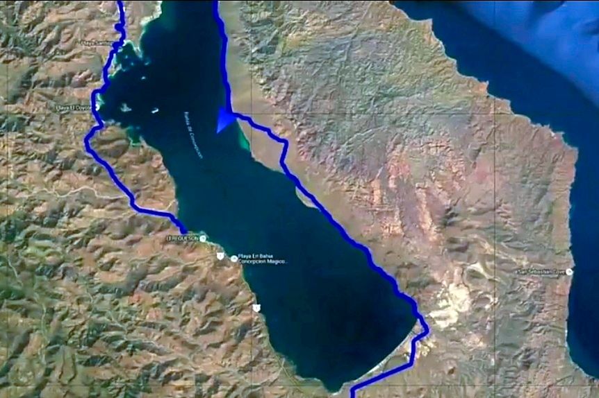
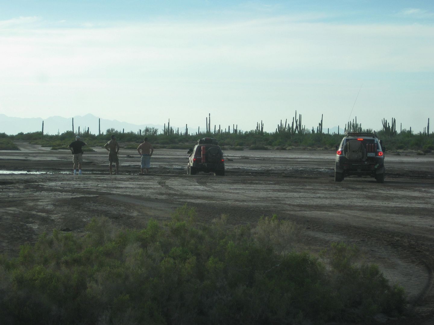
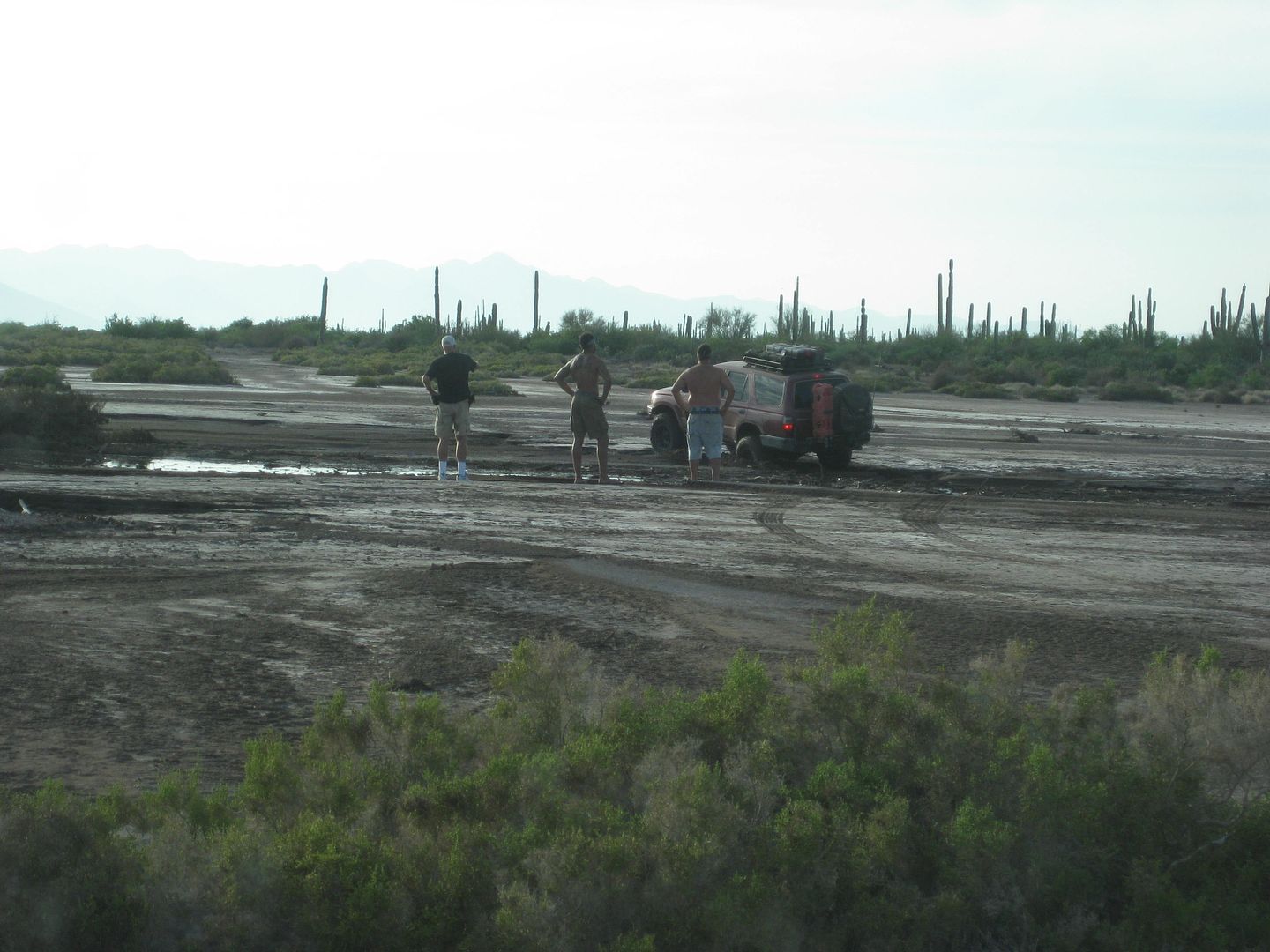
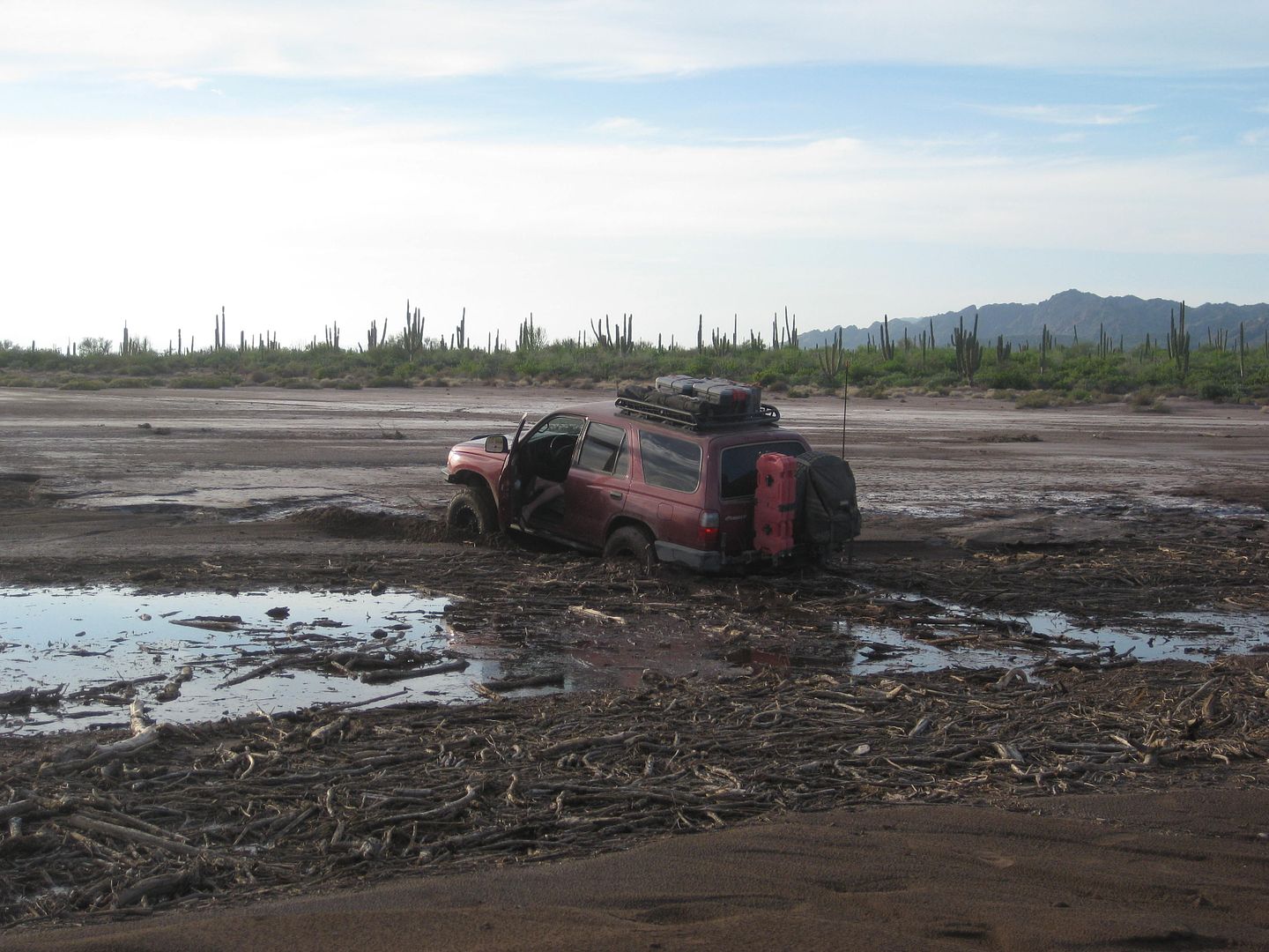
The rest of us went a bit more to the right and had no problem on this mud flat.
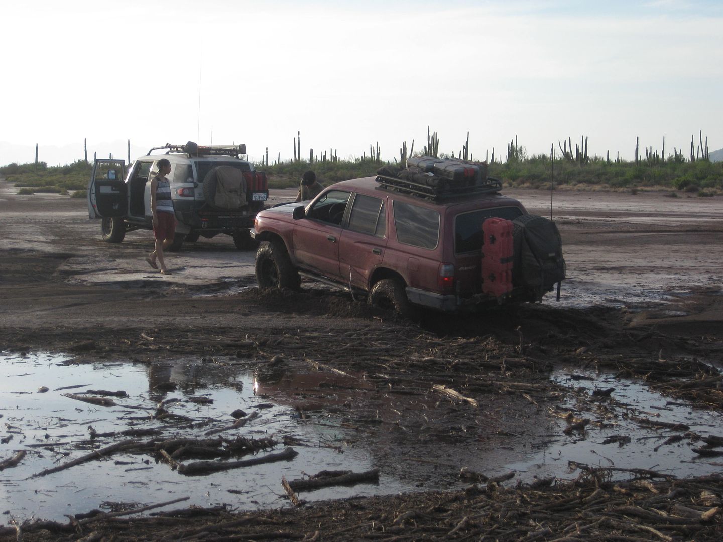
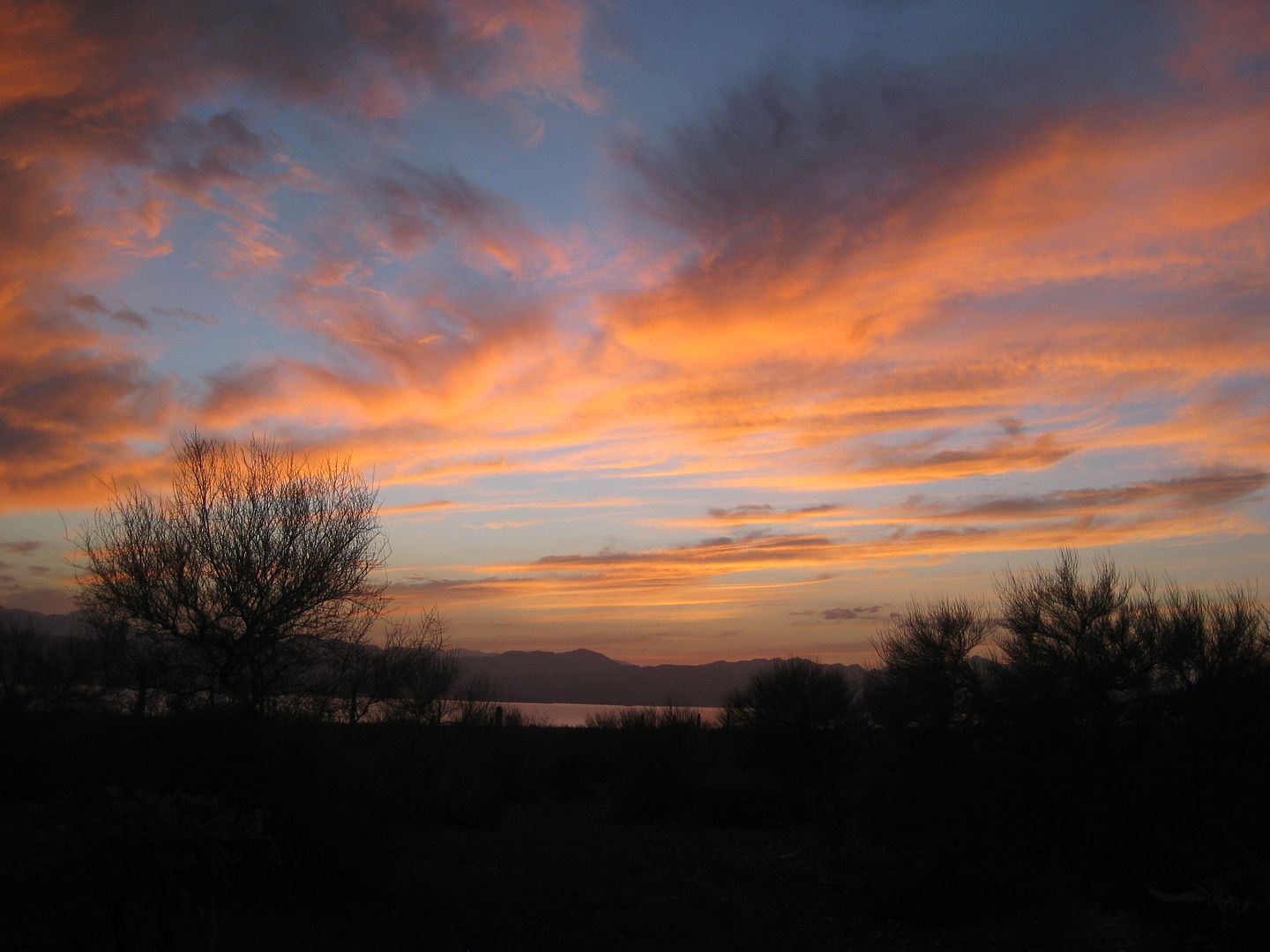
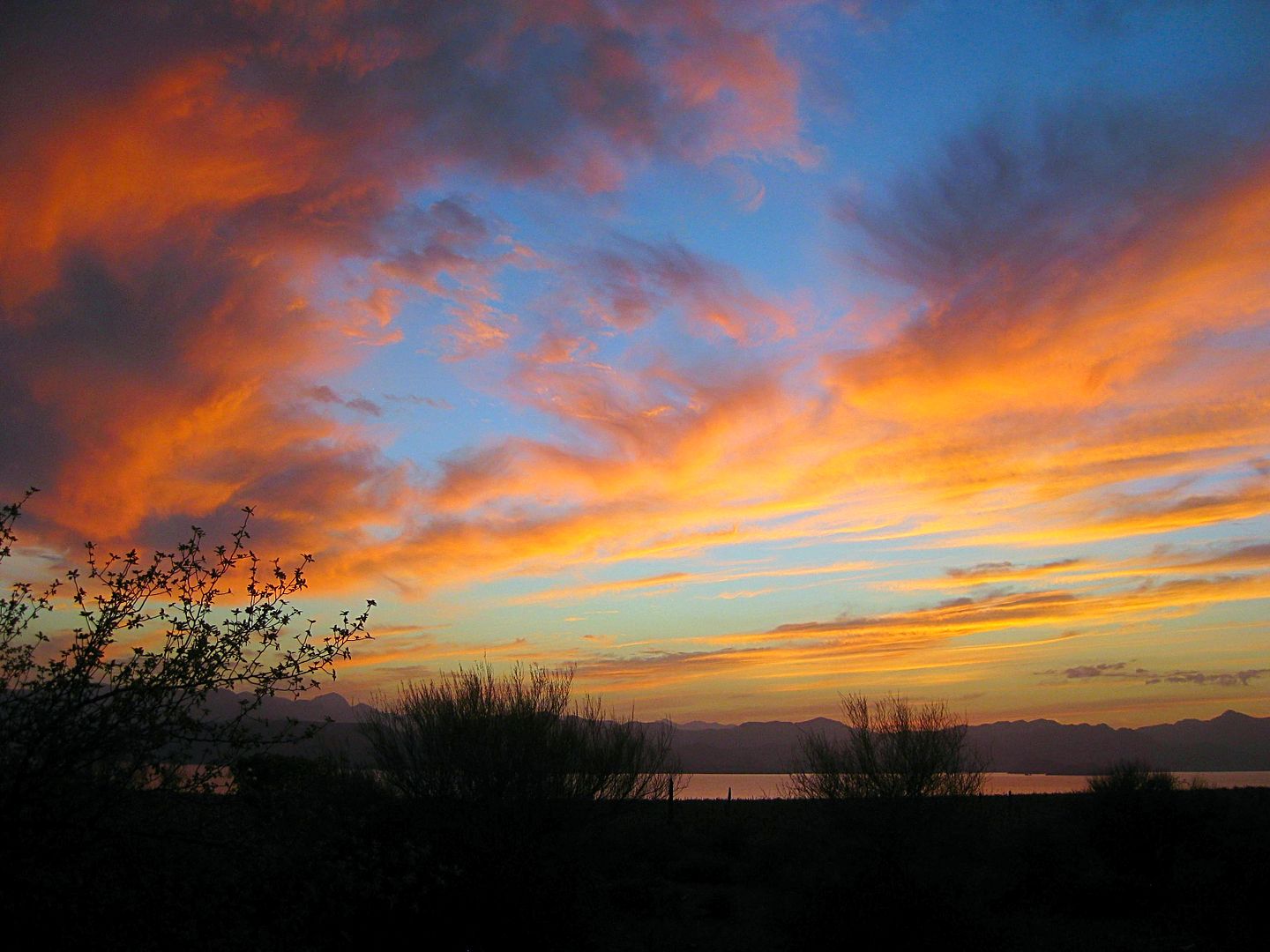
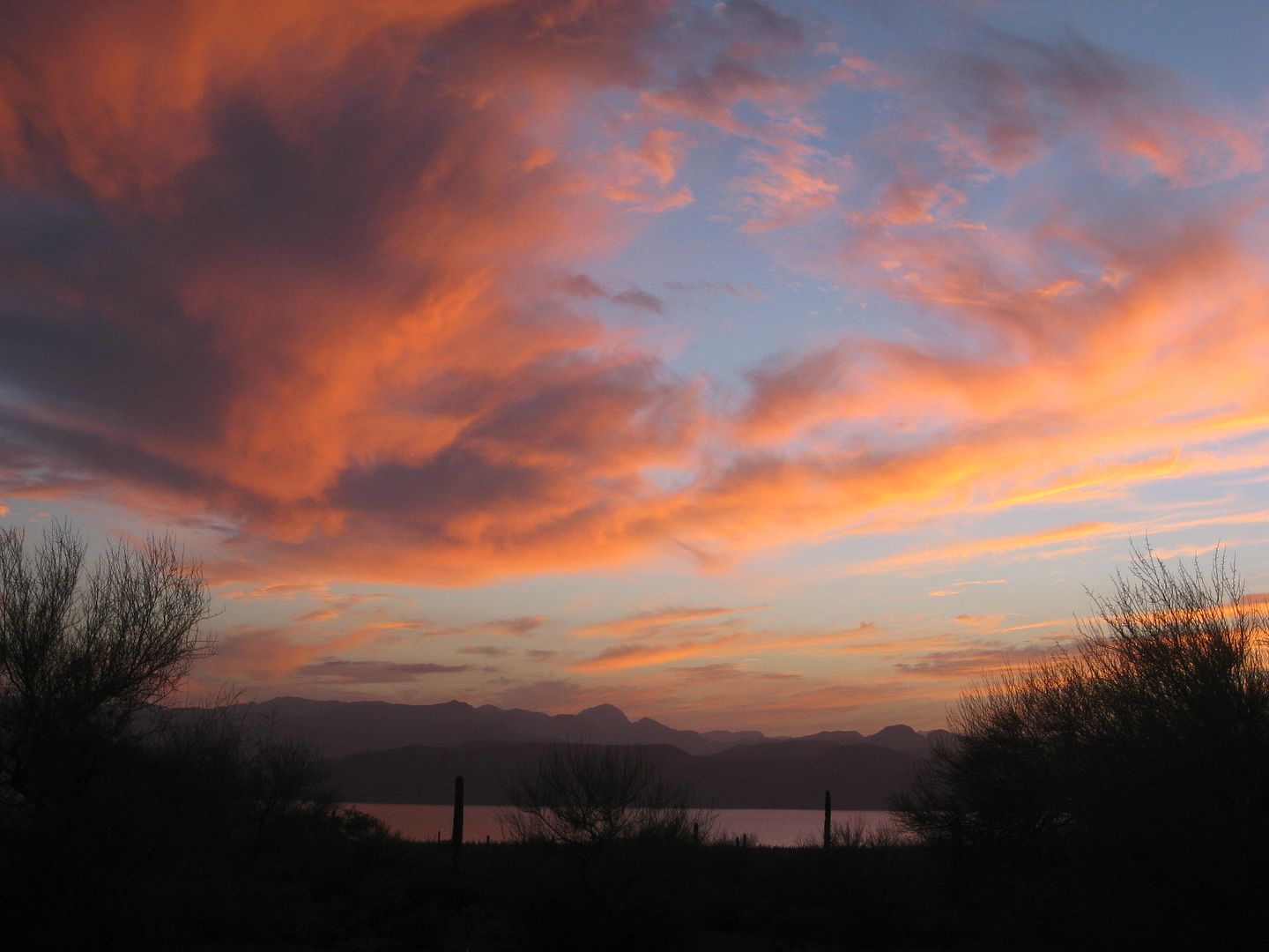
============================================================
To be continued, with Day 6!
[Edited on 3-13-2019 by David K]
|
|
|
| Pages:
1
2
3
4
..
6 |
|

