| Pages:
1
2
3
4
..
7 |
John M
Super Nomad
   
Posts: 1924
Registered: 9-3-2003
Location: California High Desert
Member Is Offline
|
|
round trip?
Did you do southbound then again north?
Tom, (TMW) and Roy (Squarecircle) hope to leave late this week to explore the trail - with your tracks they may do more than just "explore." - Tom
will no doubt be on this thread later today. He's done the trail both directions a time or two.
|
|
|
rich t
Nomad
 
Posts: 102
Registered: 4-18-2016
Member Is Offline
|
|
This trip we went south only, that was enough.
|
|
|
TMW
Select Nomad
      
Posts: 10659
Registered: 9-1-2003
Location: Bakersfield, CA
Member Is Offline
|
|
Good news that your 4 wheeler got thru.
Roy and I will be leaving San Diego either Thursday or Friday morning. We will be exploring a mine near El Barril then down to the NWT to check it
out. rich did you do a GPS track of the trail?
|
|
|
rich t
Nomad
 
Posts: 102
Registered: 4-18-2016
Member Is Offline
|
|
Yes I have the tracks, just looked at them, I use a garmin 450T, trying to
remember how to send them. They are loaded in Base Camp.
|
|
|
PaulW
Ultra Nomad
    
Posts: 3113
Registered: 5-21-2013
Member Is Offline
|
|
Got curious GE PRO does not show the track. Bing is way better.
Coast line heading N starts at N27 52.14294, W112 46.26897. That is as far as I got in 2009 starting at San Ignacio. To far for a short day trip.
|
|
|
David K
Honored Nomad
        
Posts: 65389
Registered: 8-30-2002
Location: San Diego County
Member Is Offline
Mood: Have Baja Fever
|
|
Some of that route (north of Santa Marta) is on El Camino Real. I would enjoy seeing photos of any of the mission road you see.
|
|
|
rich t
Nomad
 
Posts: 102
Registered: 4-18-2016
Member Is Offline
|
|
David, I will send you the tracks along with TMW and Paul.
|
|
|
rich t
Nomad
 
Posts: 102
Registered: 4-18-2016
Member Is Offline
|
|
TMW I sent you the tracks.
|
|
|
TMW
Select Nomad
      
Posts: 10659
Registered: 9-1-2003
Location: Bakersfield, CA
Member Is Offline
|
|
Thanks Rich. I'm looking at them now.
|
|
|
PaulW
Ultra Nomad
    
Posts: 3113
Registered: 5-21-2013
Member Is Offline
|
|
Good job Rich
|
|
|
David K
Honored Nomad
        
Posts: 65389
Registered: 8-30-2002
Location: San Diego County
Member Is Offline
Mood: Have Baja Fever
|
|
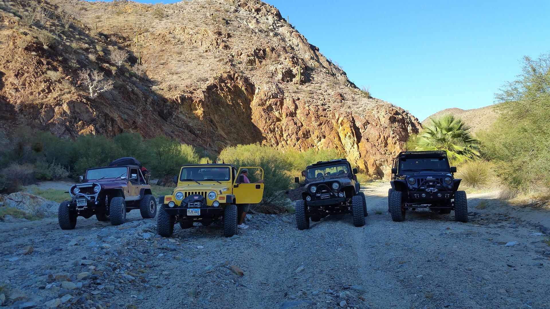
CALAMAJUE WASH, rich t photograph
Maps from Rich coming soon, thanks TW for the help!
First Photo:
[Edited on 12-7-2016 by David K]
|
|
|
David K
Honored Nomad
        
Posts: 65389
Registered: 8-30-2002
Location: San Diego County
Member Is Offline
Mood: Have Baja Fever
|
|
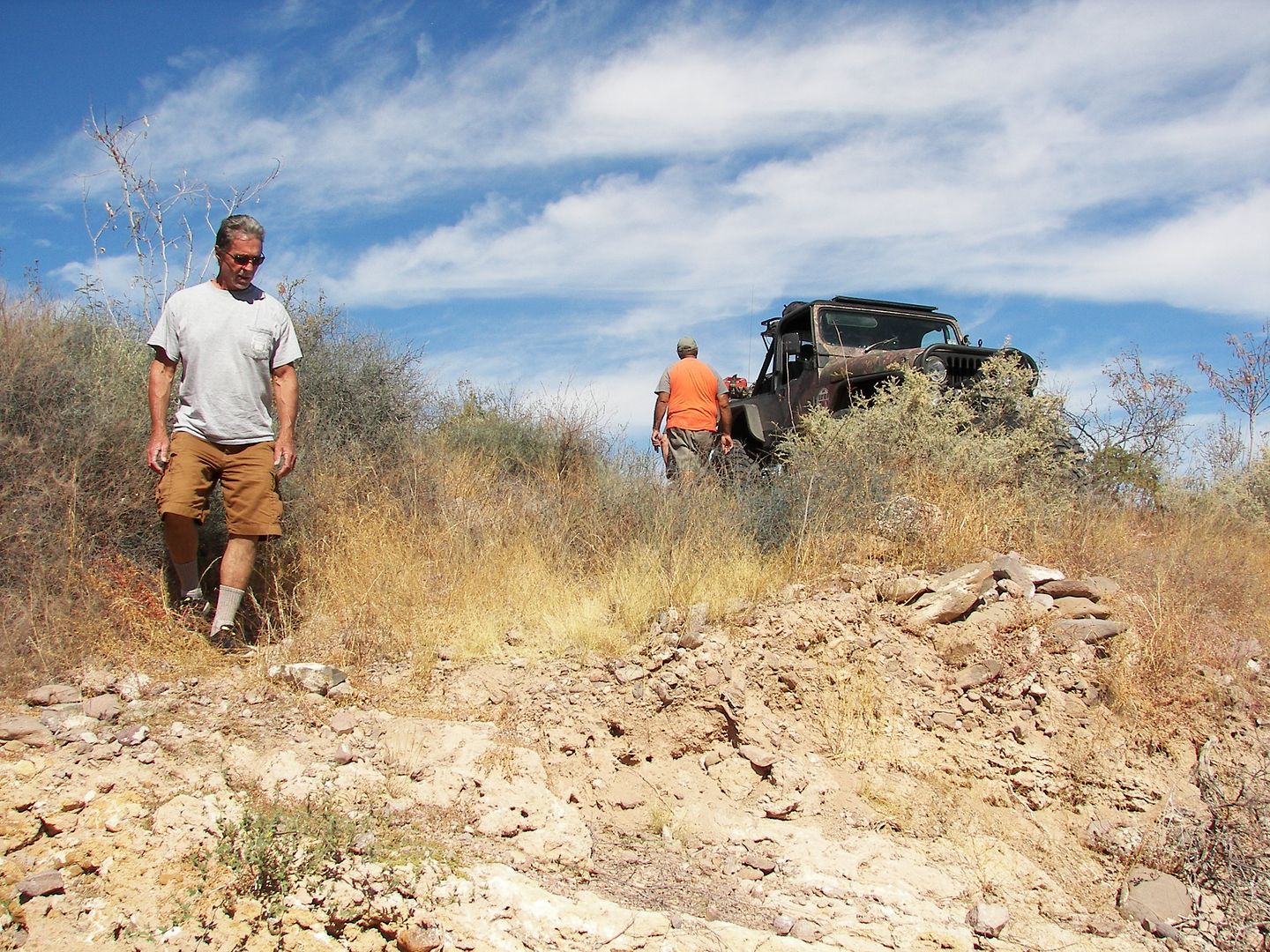
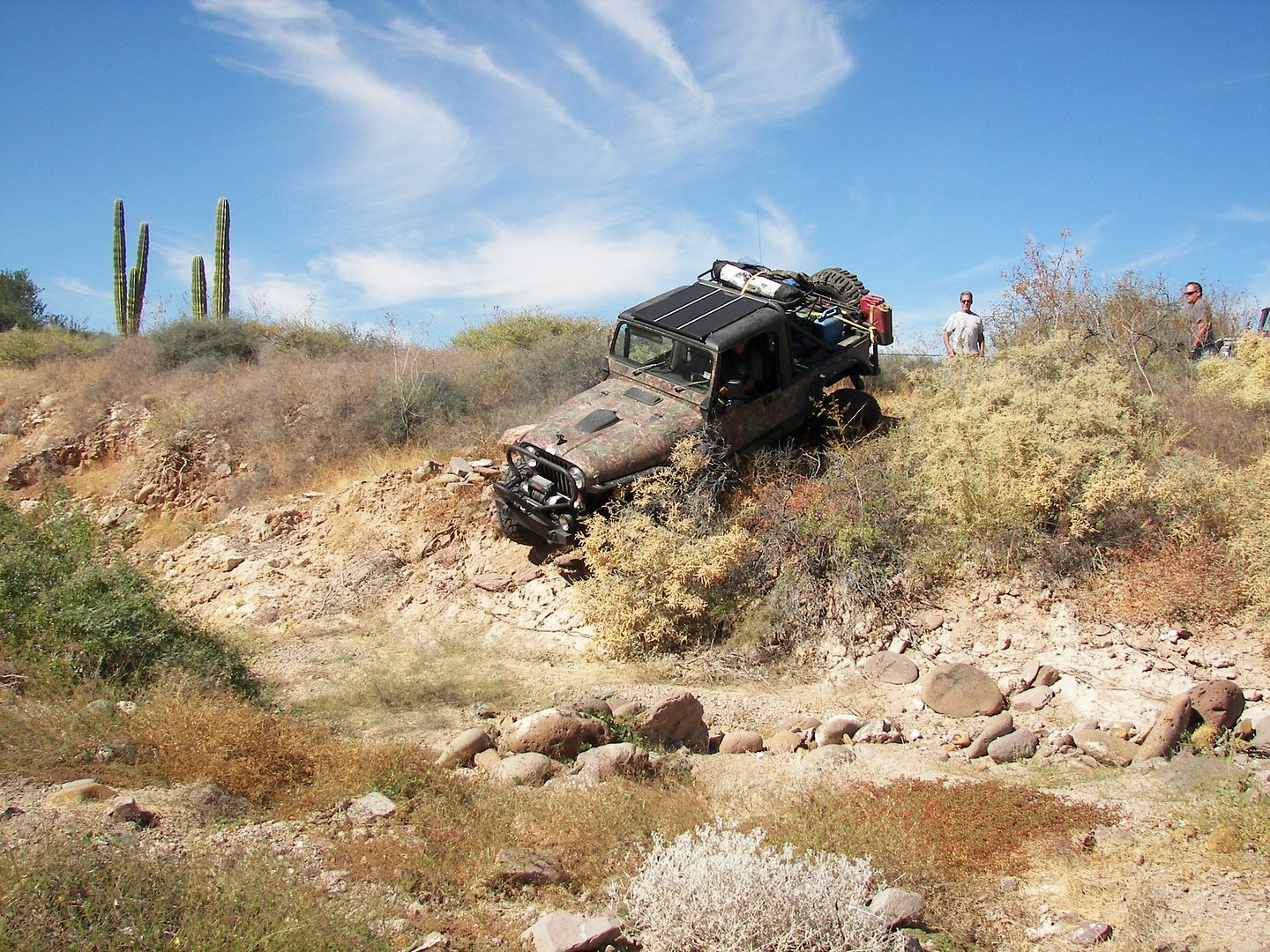
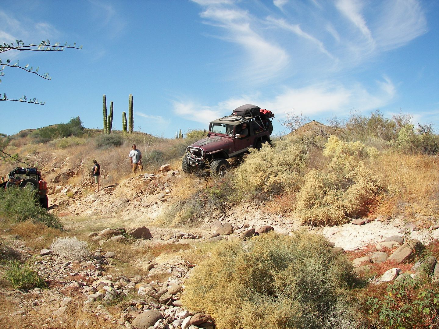
Photos from rich t, No Wimps Trail
These (first 8) were spots we made a trail north of Ensenada La Trinidad
39
41
46
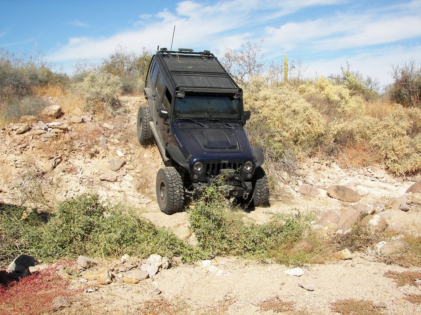
52
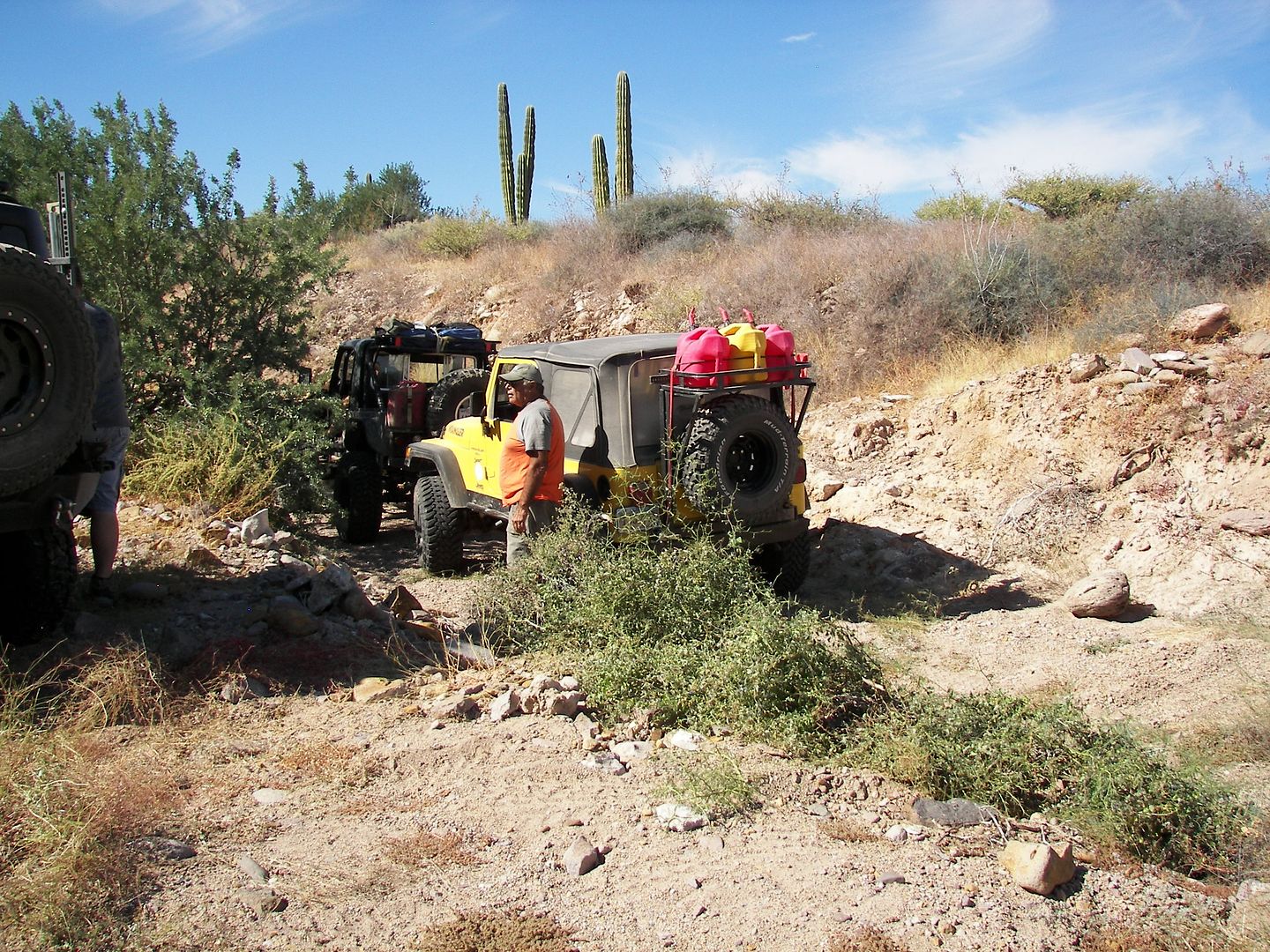
54
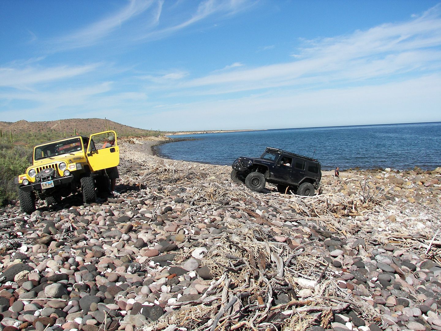
57
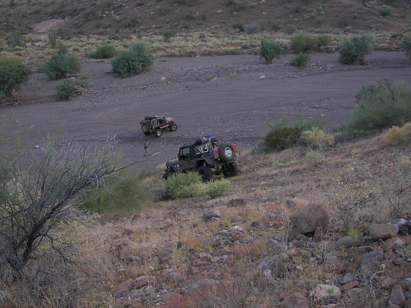
64
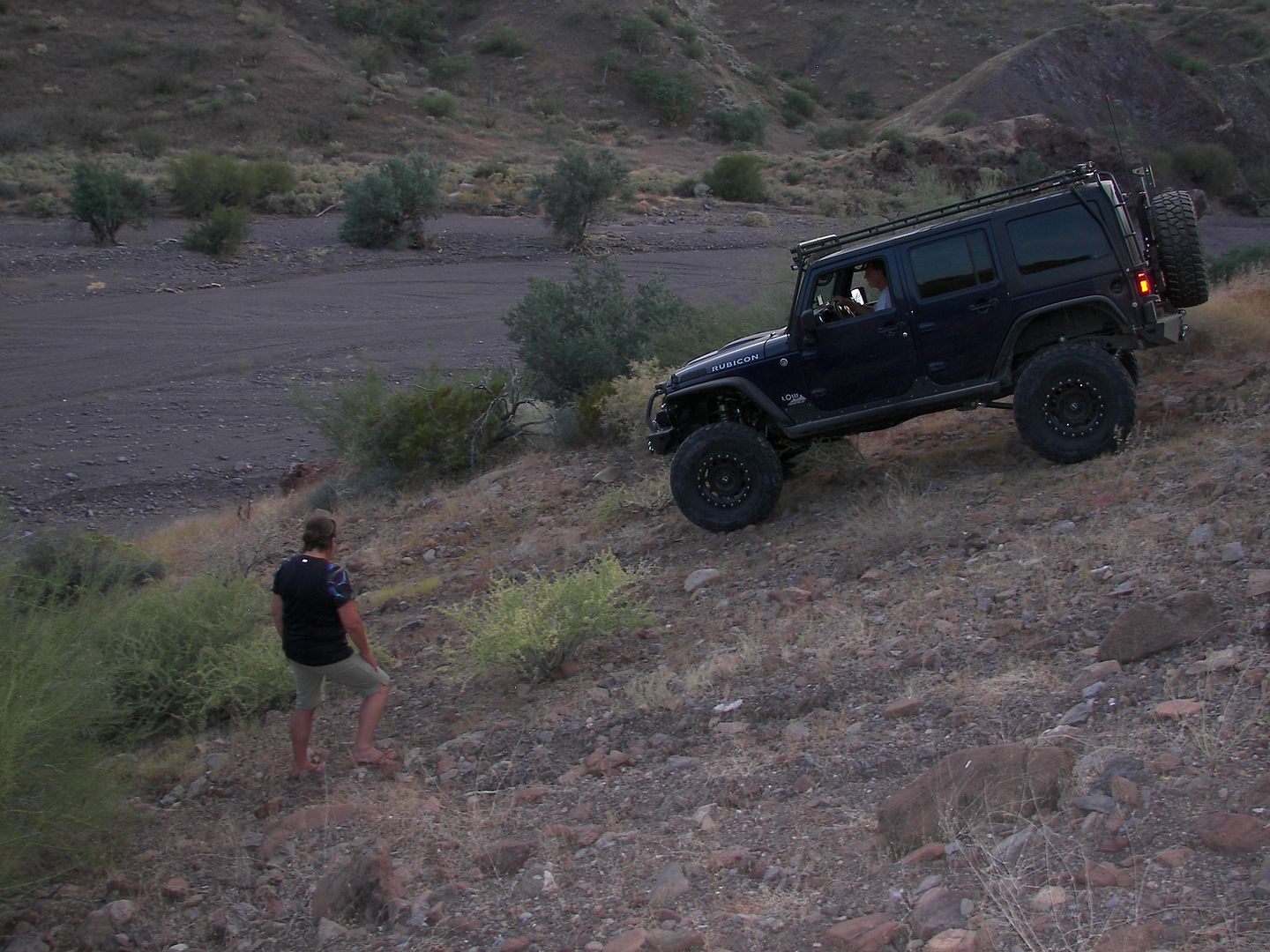
65
|
|
|
David K
Honored Nomad
        
Posts: 65389
Registered: 8-30-2002
Location: San Diego County
Member Is Offline
Mood: Have Baja Fever
|
|
A region of Baja few get to see... Thanks Rich!
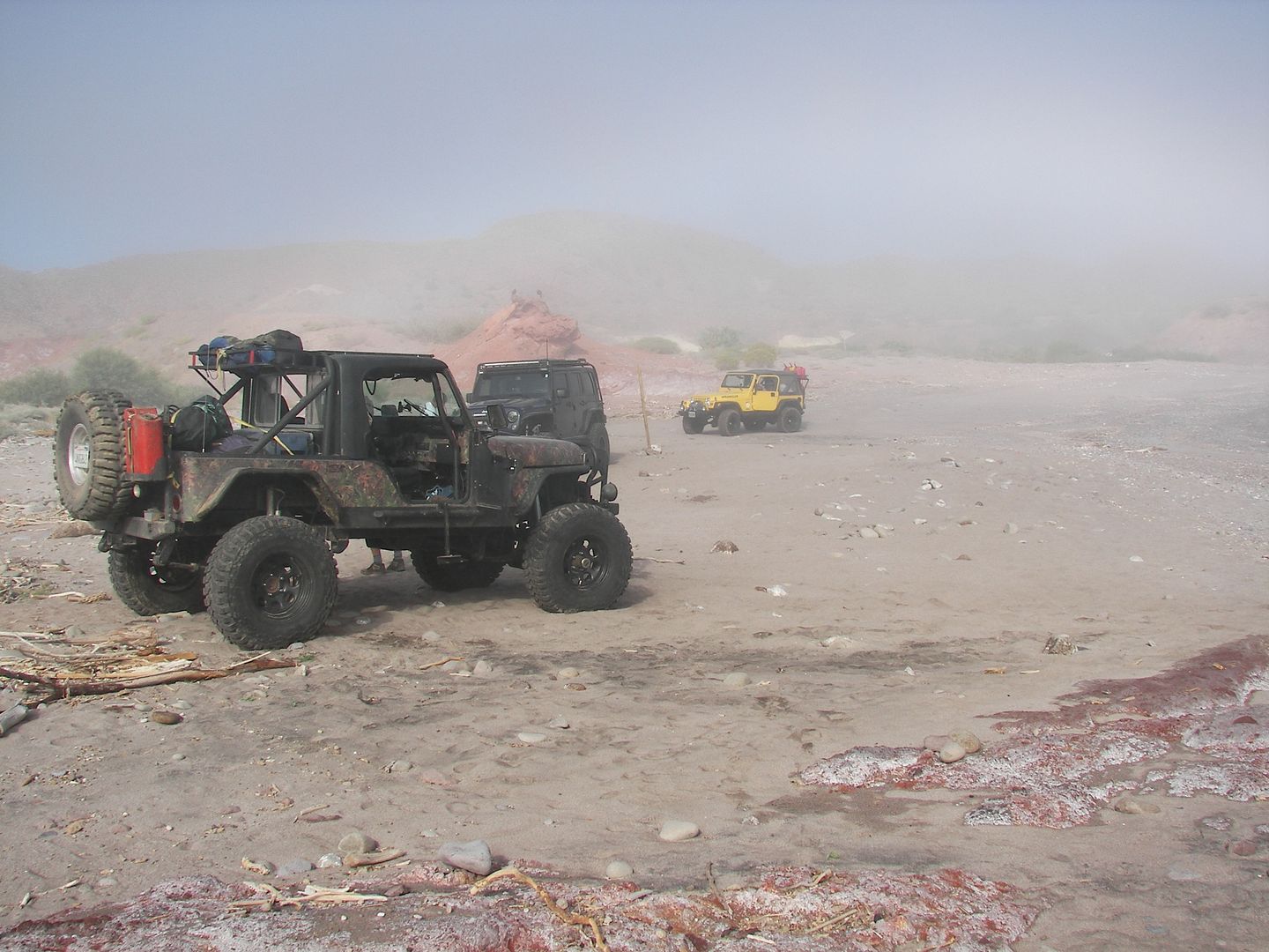
70: Where we camped about 3 miles north of Ensenada La Trinidad
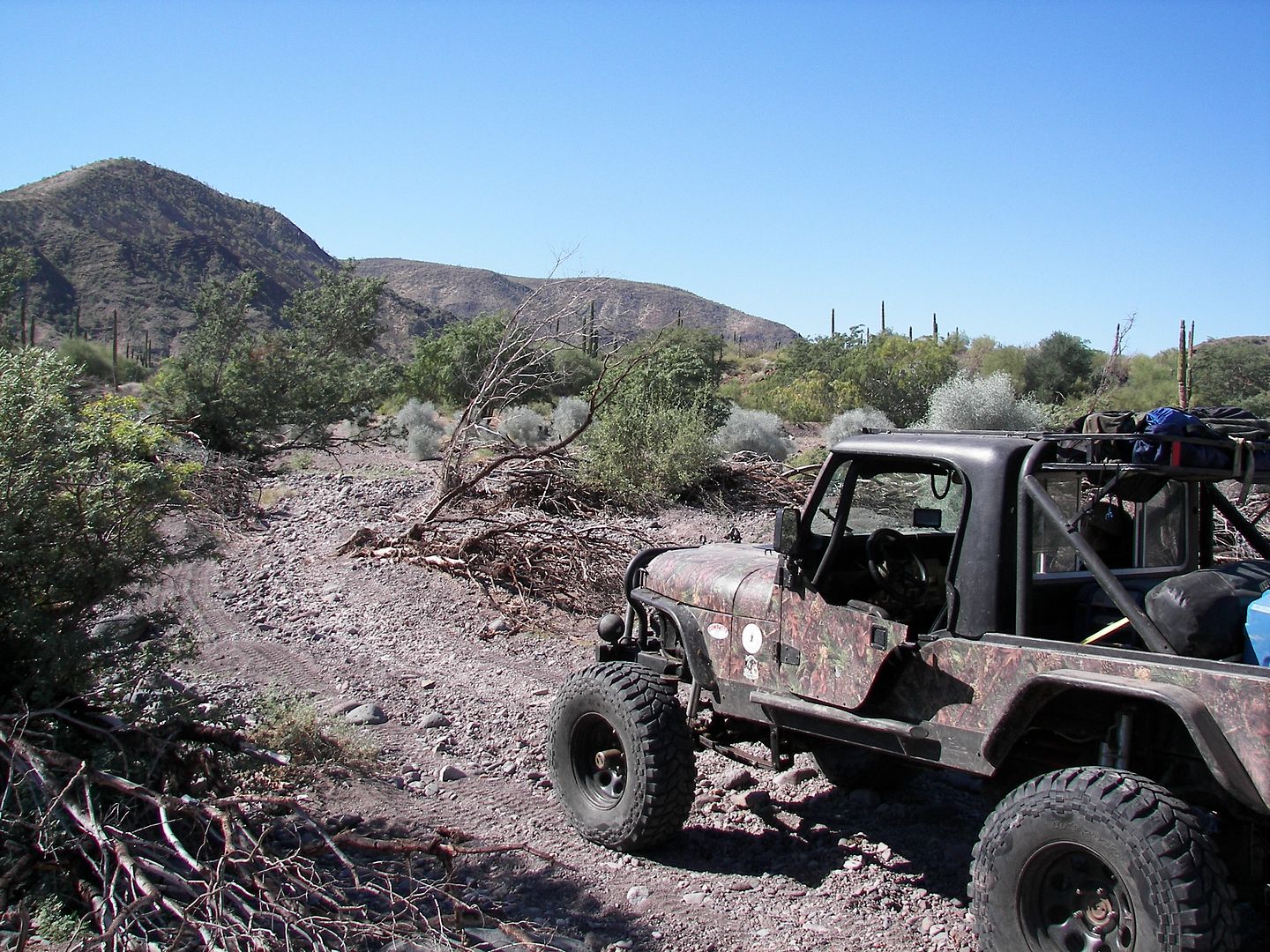
74: 074 thru 080 is in El Gato
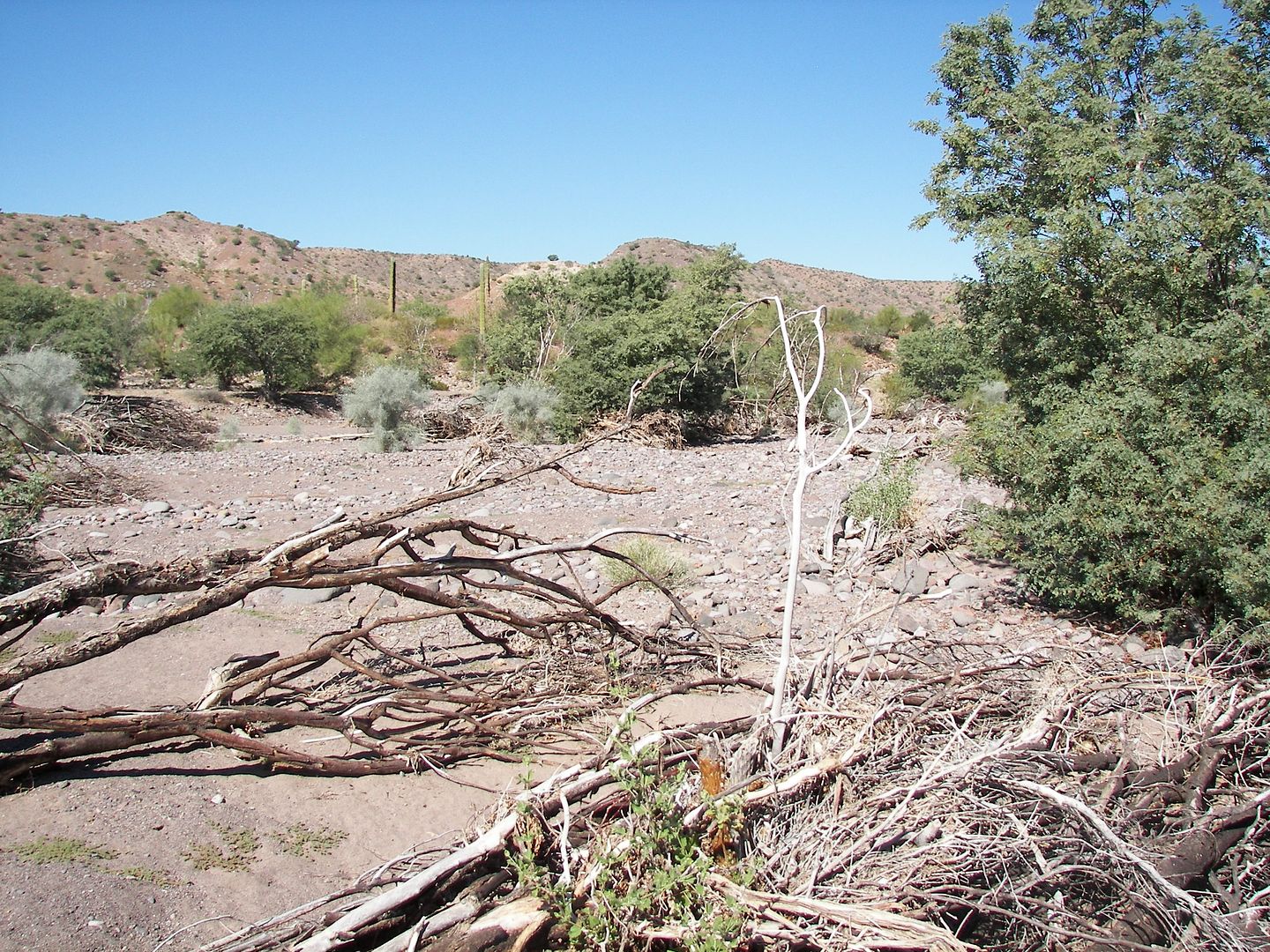
76
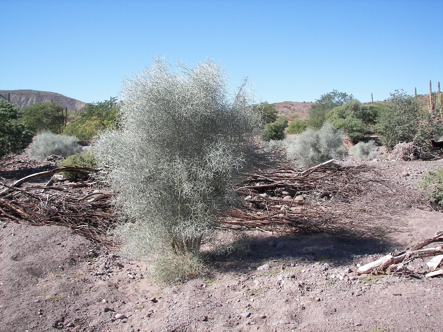
77
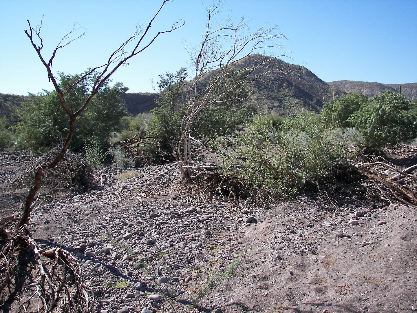
78
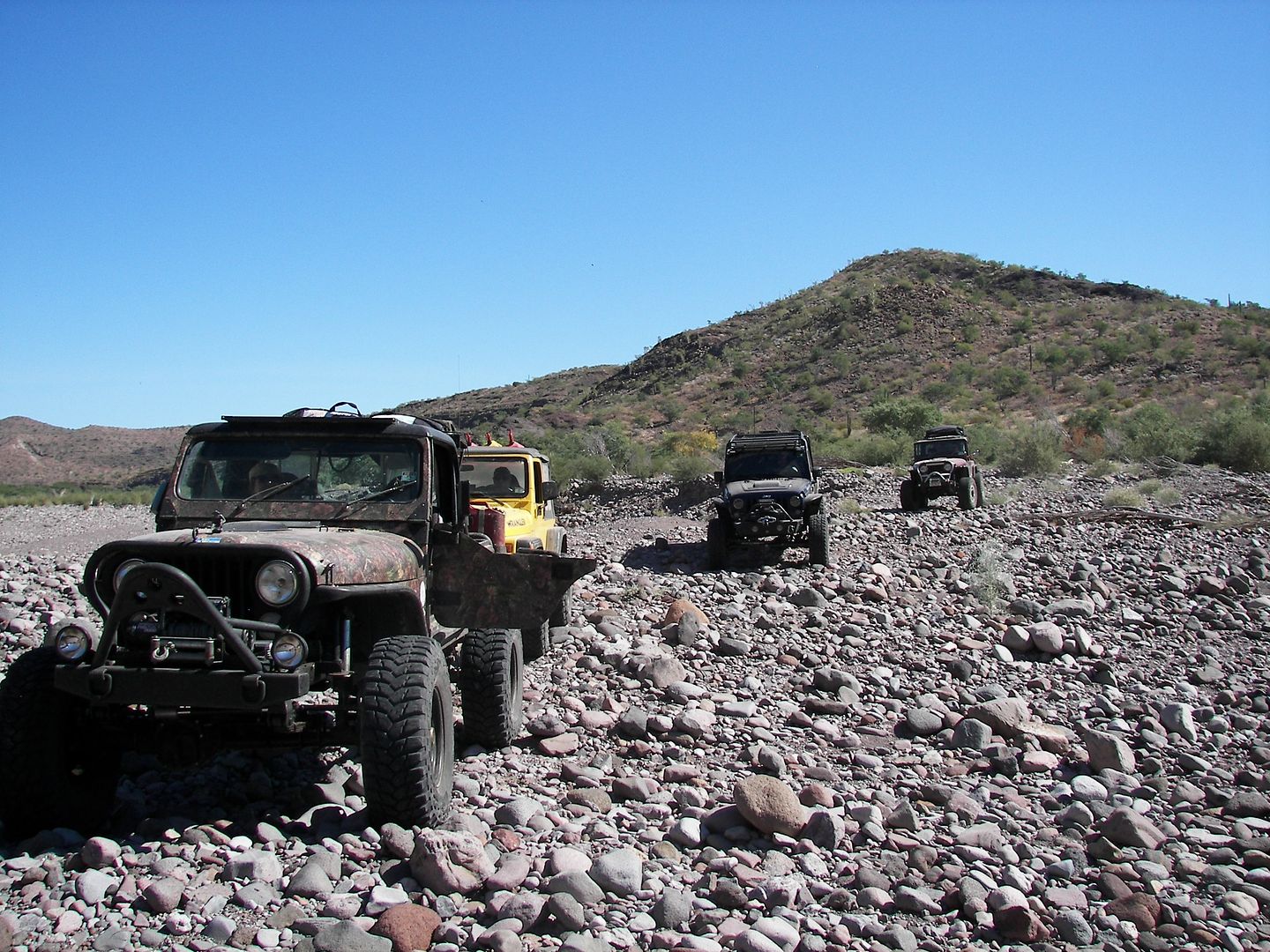
79
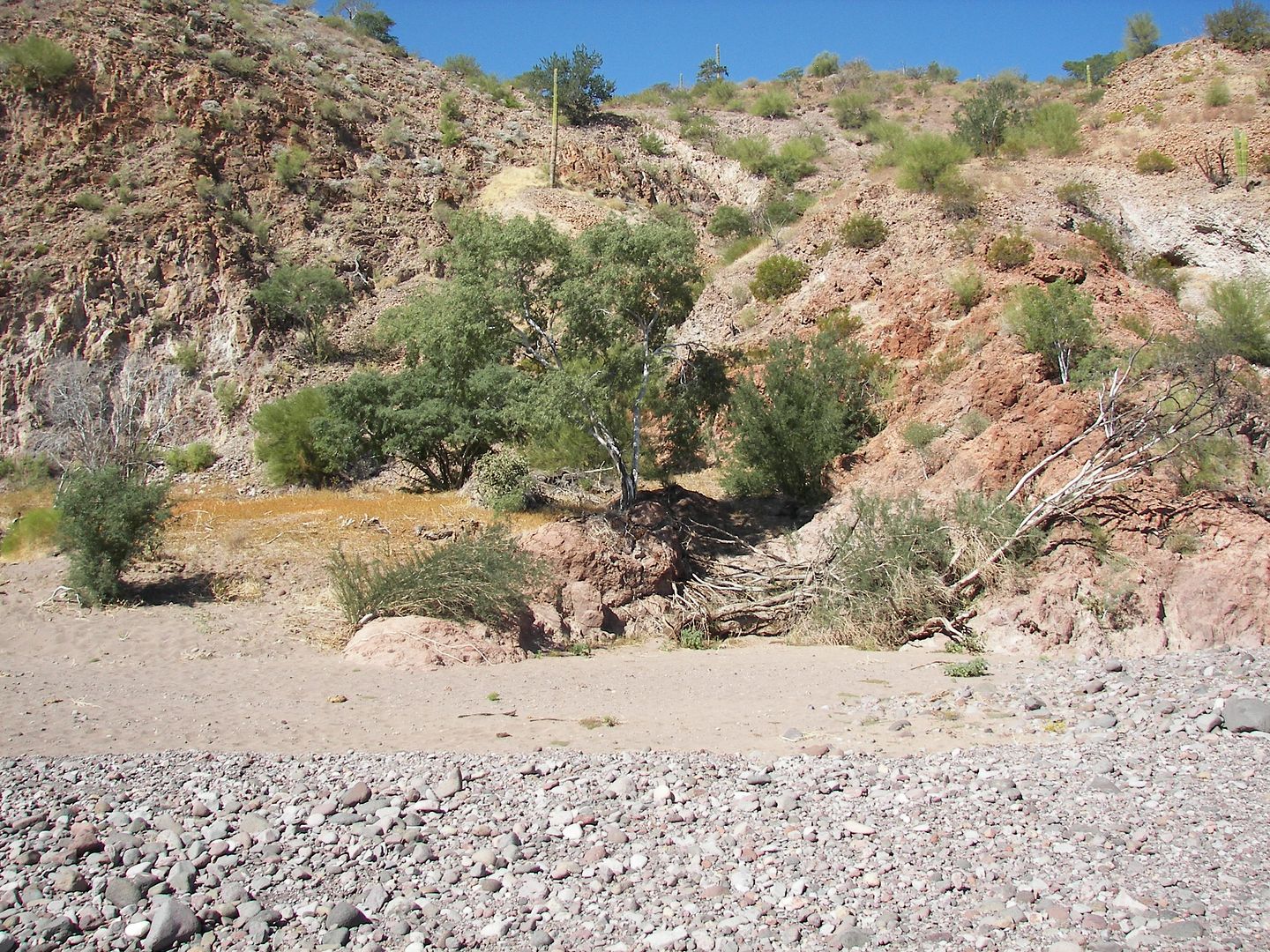
80
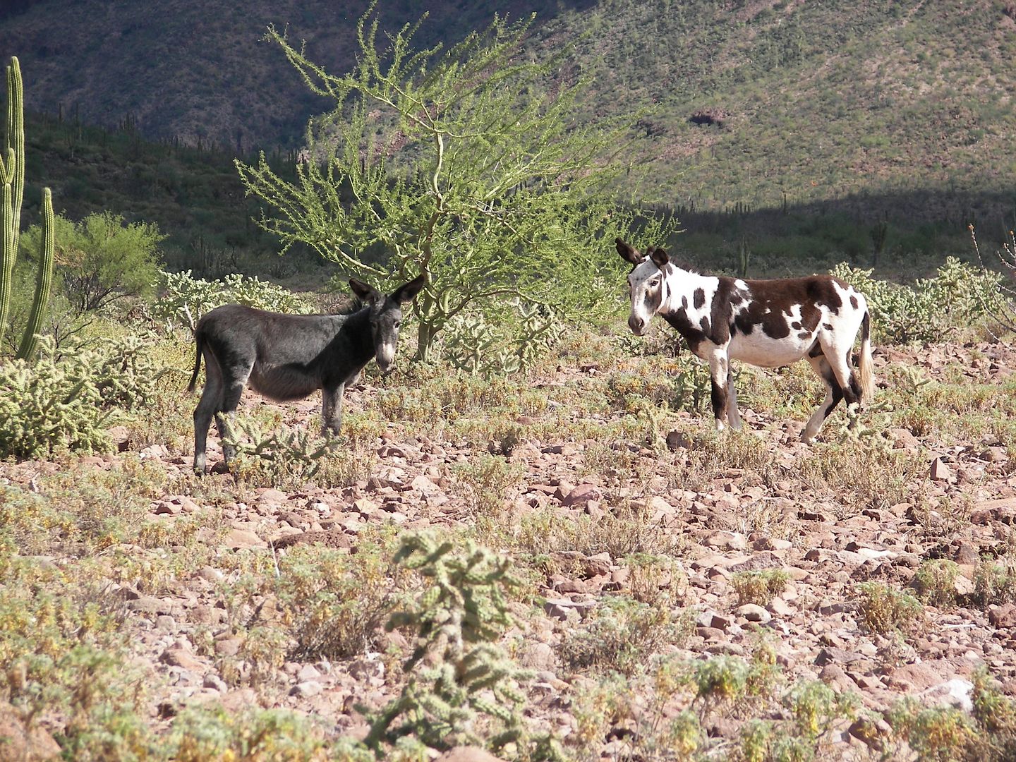
87: is a couple of Donkeys on the road to San Ignacio.
|
|
|
TMW
Select Nomad
      
Posts: 10659
Registered: 9-1-2003
Location: Bakersfield, CA
Member Is Offline
|
|
Thanks Rich, I've downloaded the GPS track into my NUVI GPS and I've also converted them to Google Earth.
|
|
|
David K
Honored Nomad
        
Posts: 65389
Registered: 8-30-2002
Location: San Diego County
Member Is Offline
Mood: Have Baja Fever
|
|
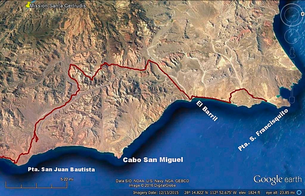
MAP-1 of 3 using rich t's GPS track
In order to show more trail at higher detail, I have oriented the map with north on the right. I have added a few place names to help locate the area
on paper maps.
|
|
|
David K
Honored Nomad
        
Posts: 65389
Registered: 8-30-2002
Location: San Diego County
Member Is Offline
Mood: Have Baja Fever
|
|
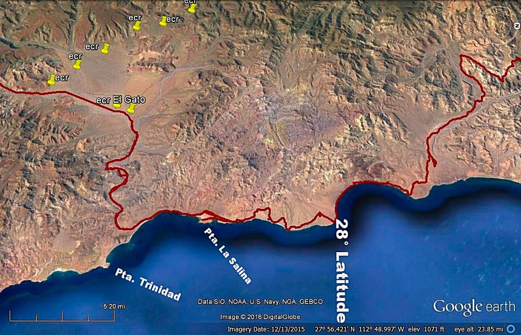
Map 2 of 3
In the background note the pins marking El Camino Real, The King's Highway. El Gato is on a branch of ECR and was a way station in mission days.
|
|
|
David K
Honored Nomad
        
Posts: 65389
Registered: 8-30-2002
Location: San Diego County
Member Is Offline
Mood: Have Baja Fever
|
|
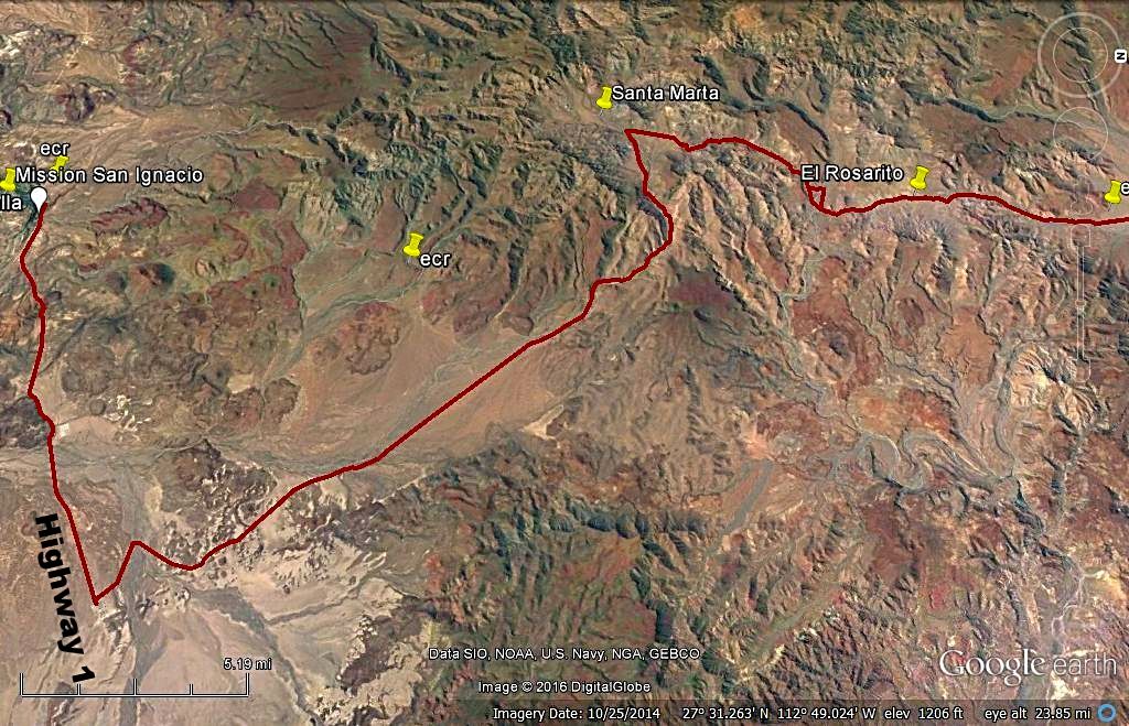
Map 3 of 3
|
|
|
rich t
Nomad
 
Posts: 102
Registered: 4-18-2016
Member Is Offline
|
|
David, thanks for posting everything, TMW, remember the track that David
has showing from San Fransquito to El Barril gets narrow and you are going
thru some tight areas that have some cactus, it is a good bike route, you can do it in your Taco and the scratches will rub out, the other option is
to follow my tracks from 2011.
|
|
|
TMW
Select Nomad
      
Posts: 10659
Registered: 9-1-2003
Location: Bakersfield, CA
Member Is Offline
|
|
Thanks Rich I'll keep that in mind.
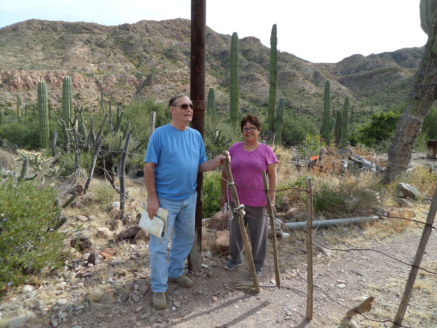
We'll be stopping at Cocos, Panchos, the El Barril La Sirena mine and Rancho Crestones. Rancho Santa Barbara is abondoned past R Crestones.
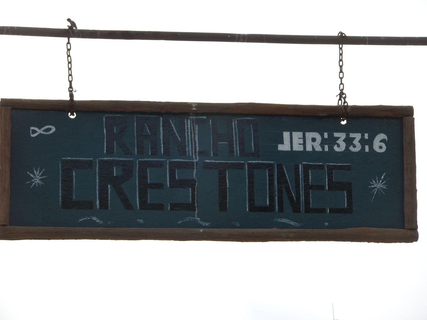
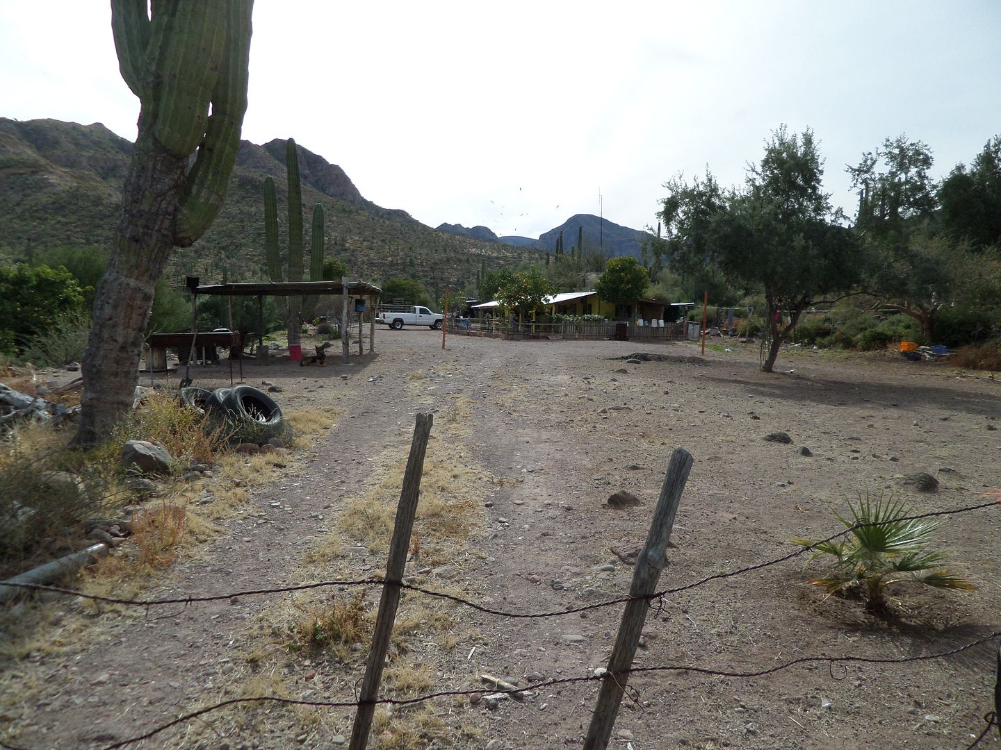
The Lady of the ranch
|
|
|
rich t
Nomad
 
Posts: 102
Registered: 4-18-2016
Member Is Offline
|
|
TMW, say hi to Poncho, we camp there a couple of times every year
|
|
|
| Pages:
1
2
3
4
..
7 |

