| Pages:
1
2
3
4 |
AKgringo
Elite Nomad
     
Posts: 6281
Registered: 9-20-2014
Location: Anchorage, AK (no mas!)
Member Is Offline
Mood: Retireded
|
|
Las Animas
Dave, I went in to the bay just a week before you were there. It had rained a bit, so I could see that mine were the only tracks around, and every
camp I could find was deserted.
There must have been a better road/trail in there at one time, judging from the Airstream that was set up on the northern beach just before the
mangroves.
Thanks for posting the photos!
If you are not living on the edge, you are taking up too much space!
"Could do better if he tried!" Report card comments from most of my grade school teachers. Sadly, still true!
|
|
|
David K
Honored Nomad
        
Posts: 65411
Registered: 8-30-2002
Location: San Diego County
Member Is Offline
Mood: Have Baja Fever
|
|
The road was better before, and the camp was occupied.
There was this trip a newer detour (since my 2009 trip) that kept left and missed the junction with the road that goes around the right (east) side of
the mystery-wall hill. It was made to keep you above any of the mud flats that the original road went into, a little. Driving out I saw the older
route and took it back to the north and soon came to the junction with the east hill road. I was going to go check on the date palm and other ruins.
However, the east road soon vanished from long ago flash floods and new plant growth.
I was almost to the foot of the hill when I couldn't drive anymore... and I was on a time schedule, so I headed back out.
Baja is really getting less and less occupied, at least in these remote areas, than it was in the 70s and 80s. Maybe people all need paved roads and
won't do a little rough riding?
|
|
|
willardguy
Elite Nomad
     
Posts: 6451
Registered: 9-19-2009
Member Is Offline
|
|
Quote: Originally posted by Fatboy  | Puerto Calamajué .... Had no problem getting to the beach in 2016.... Of course rain could change that since you do drive across the mud flat like you
said, but no problem.
So while the graded road stays to the left/north and ends at the old processing building I would be hard pressed to say it is a disappointment because
the main graded road doesn't allow easy access to the beach at the end of it.
Heading down on motorcycles in Mid-January and will spend some time looking for the Henderson Rockpile since it looks like it is still 'misplaced'.
Will you post GPS waypoints or tracks of where you looked on this trip?
|
fascinating place to explore.......although the beach area appears to have been carpet bombed, so much survived, the newer schoolhouse still with
tables and chairs, workbooks scattered around, the chapel on the hill perfectly intact, the "town" houses still full of interesting junk, one was a
cantina, the huge stone pila that appears to never had water in it, the beautiful fish processing center with its smokers that never got off the
ground. I love it out there....what a shame DK's yota wasn't up for the task!

|
|
|
David K
Honored Nomad
        
Posts: 65411
Registered: 8-30-2002
Location: San Diego County
Member Is Offline
Mood: Have Baja Fever
|
|
Jan. 1 Sunday, continued...
What a great day... seeing so much, driving great dirt roads, enjoying the XM Satellite radio and four wheeling solo without fear (oh what a feeling).
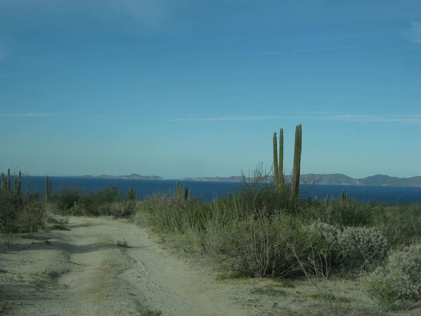
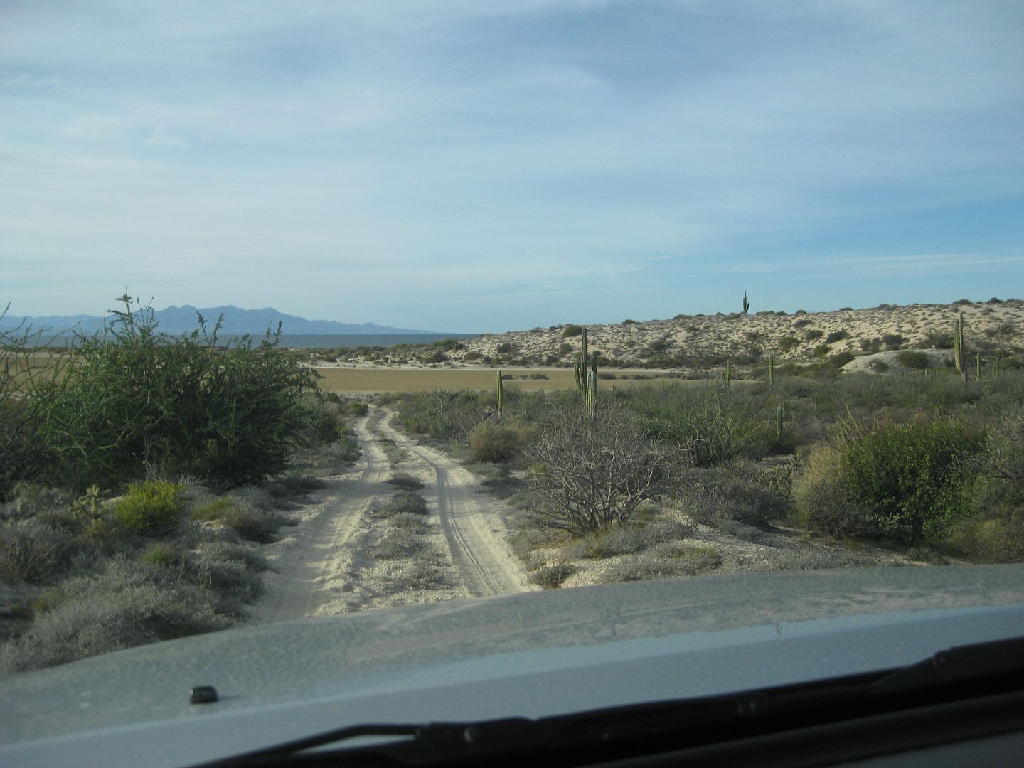
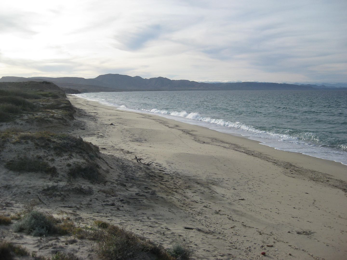
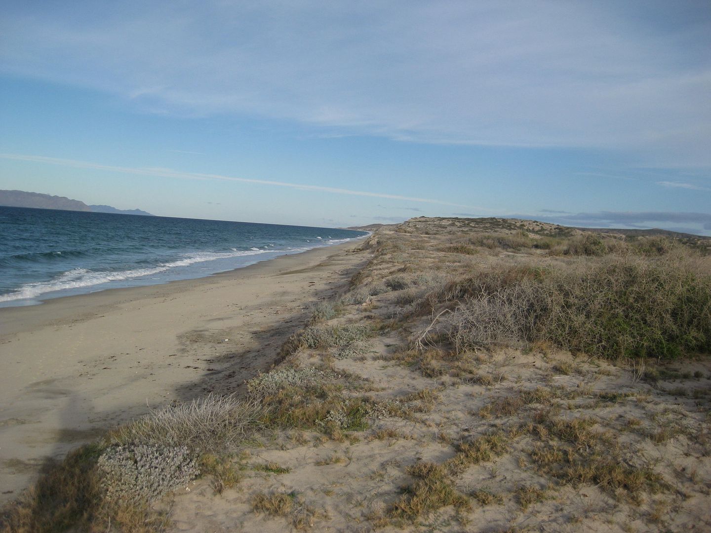
On Google Earth, I could see a road to the north coast of the peninsula that makes San Francisquito. It is opposite of the old road south to El
Barril, on maps, about 5 miles west of Beto's gate. It is 4.6 miles north to a fork, I go left and in a mile the road passes next to the beach, but
just out of sight of it and then heads back inland... coming to an end (washouts and brush) 1.6 miles from the nearest beach approach. On Google
Earth, you can see that this road (once wide and graded) went to a big mine on the mountain.
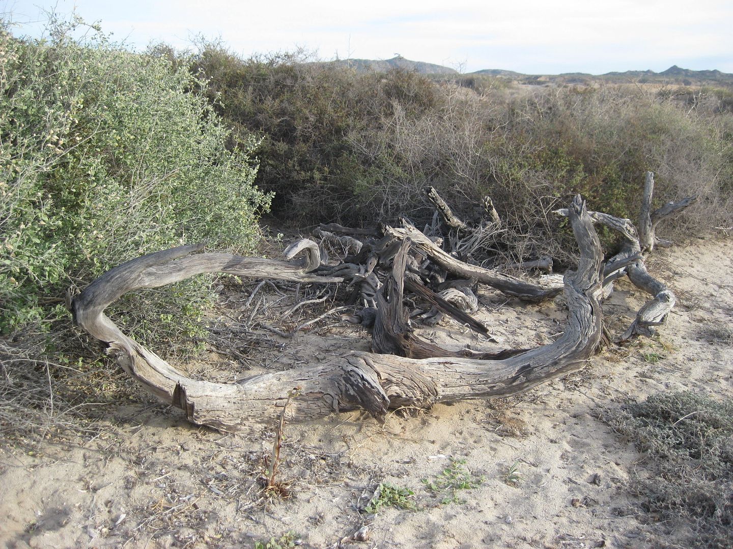
Ironwood for my campfire!
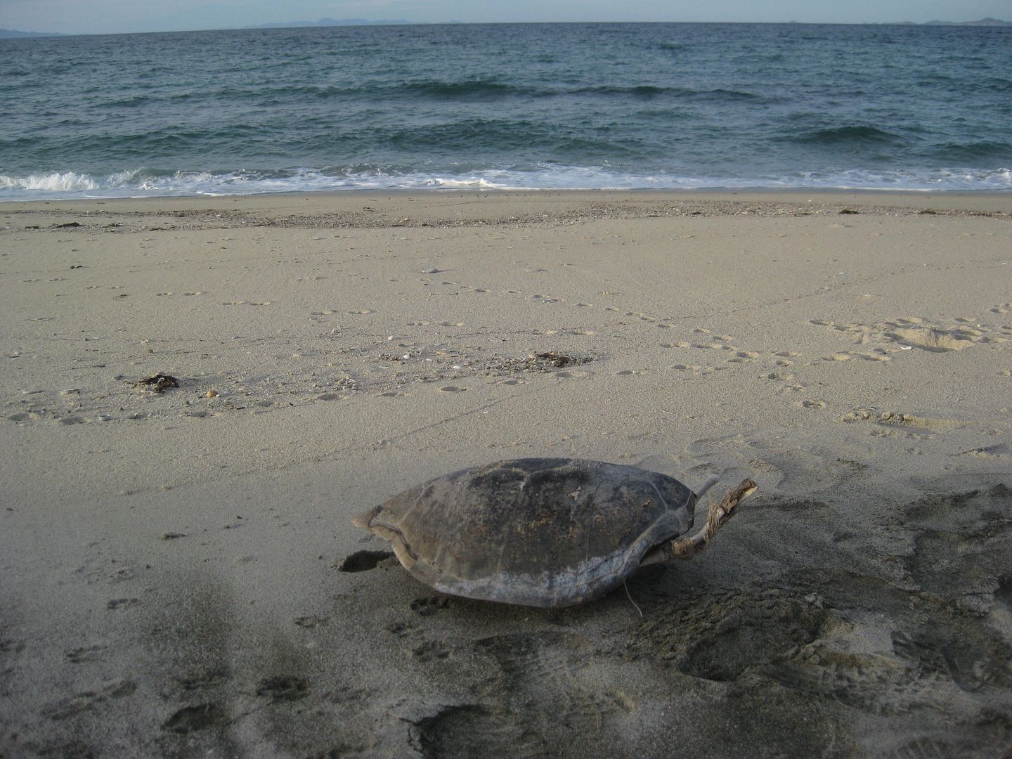
This guy didn't make it!
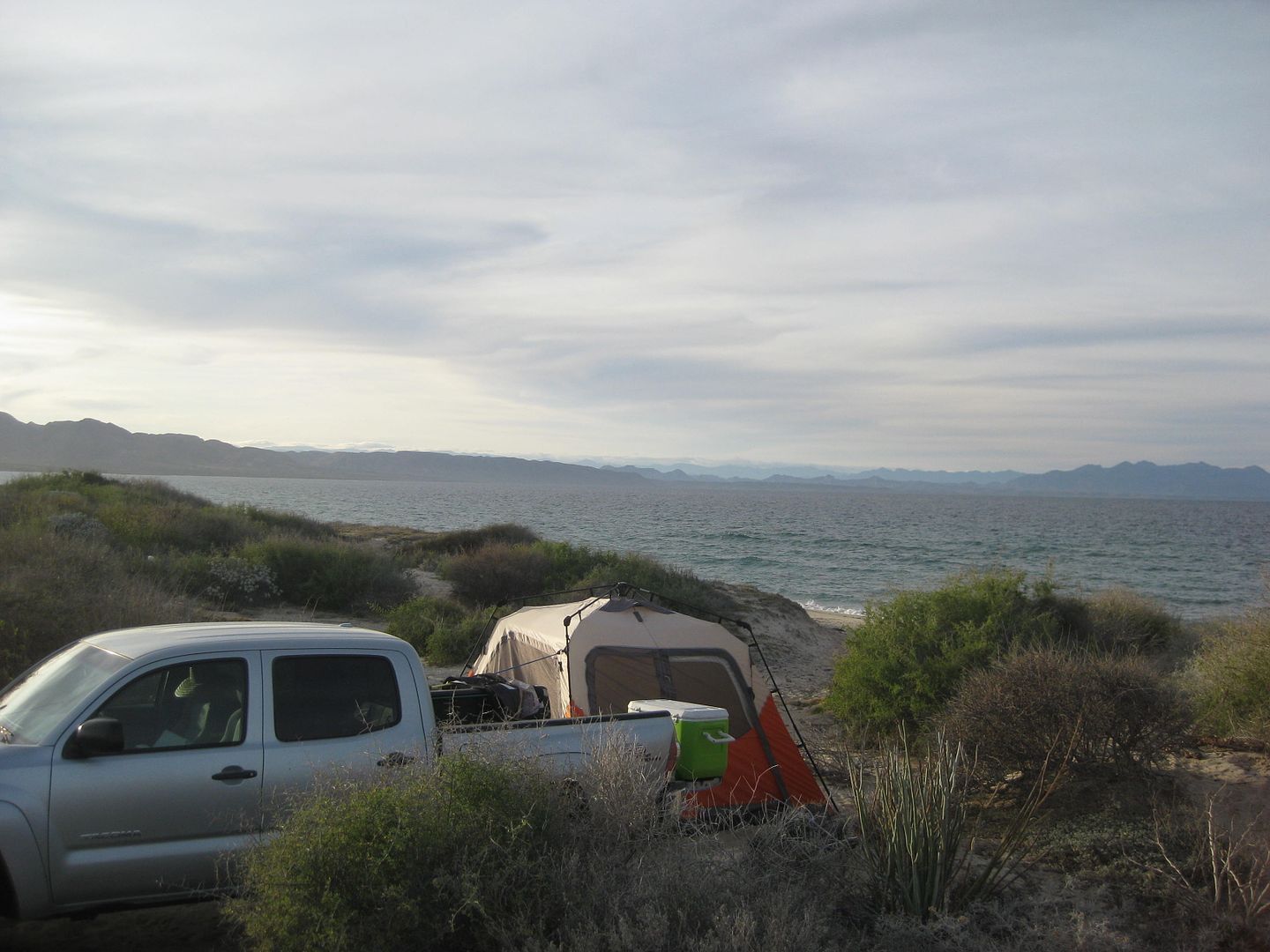
As it was getting sundown, a Tacoma with a camper shell drove by on the beach, stopping a quarter mile past where I was and a couple guys got out with
fishing poles. They returned after dark from wherever they had come onto the beach.
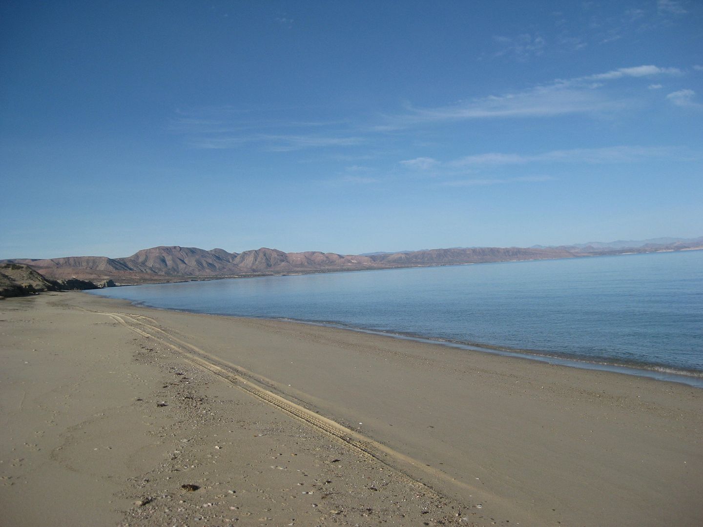
The next morning, Jan. 2, 2017.
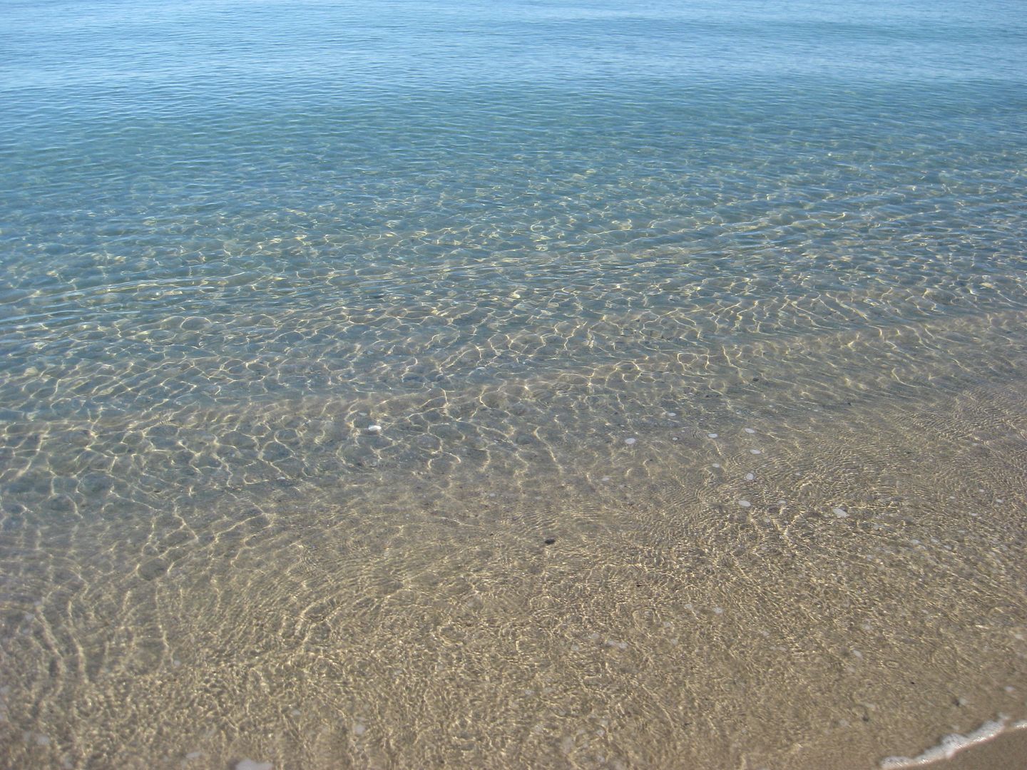
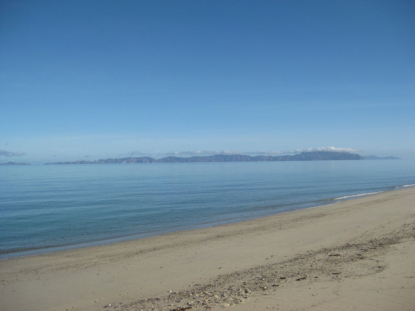
Isla San Lorenzo
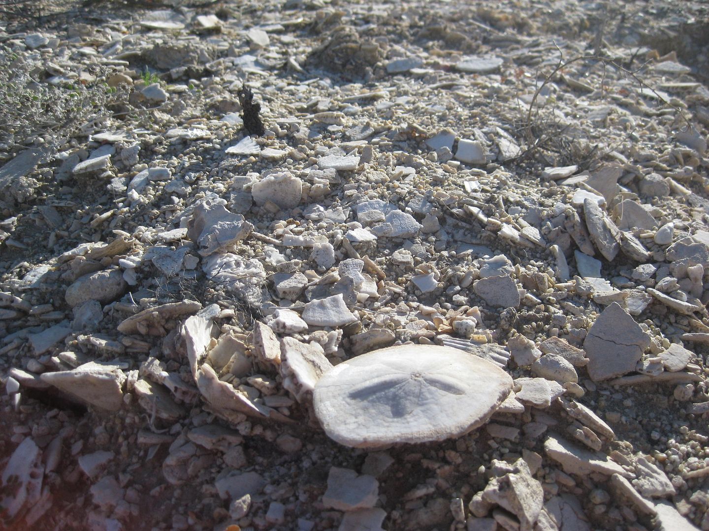
Petrified sand dollars, right along the road, exposed when it was cut into the hillside.
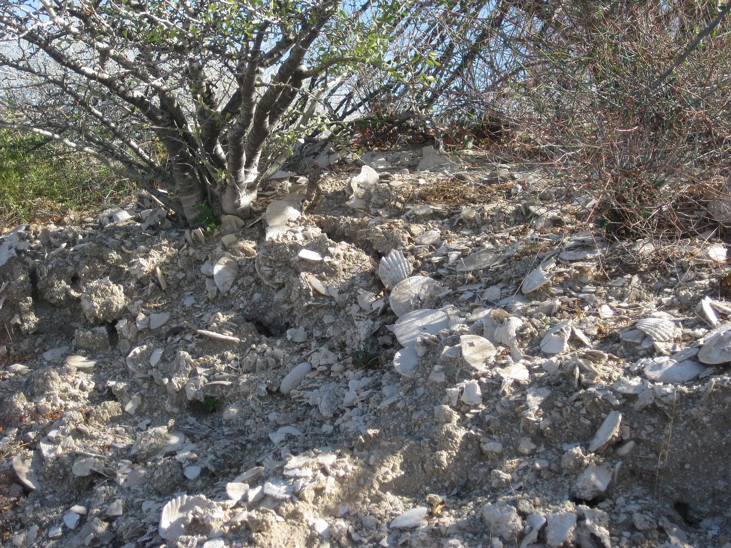
This was 0.7 miles from the beach and over 100 feet higher.
I took the right fork and it soon passed these oyster shell piles...
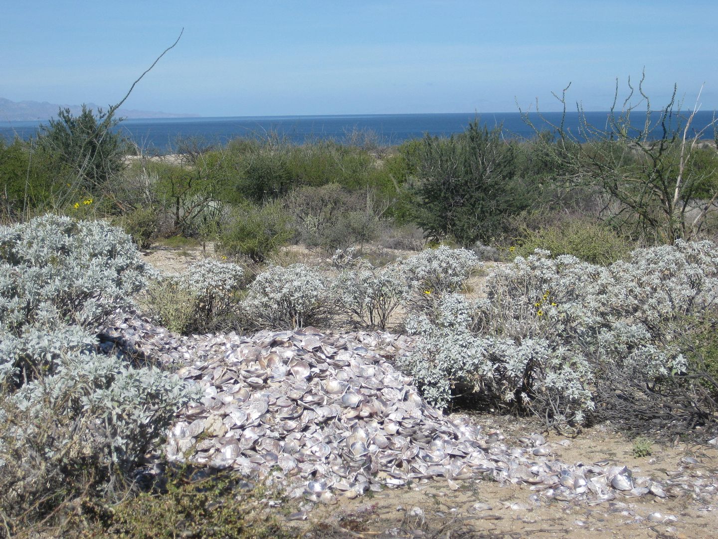
There was another fork in 0.4 mile and I went left, ending at a beach in another 0.4 mile. A couple were camping near there. On Google Earth, the
right fork also ends at the beach in a mile or less east.
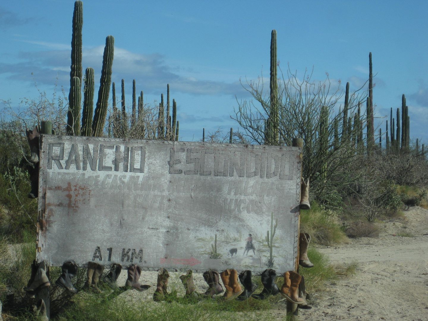
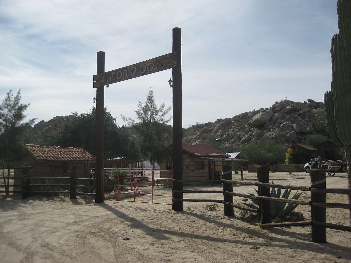
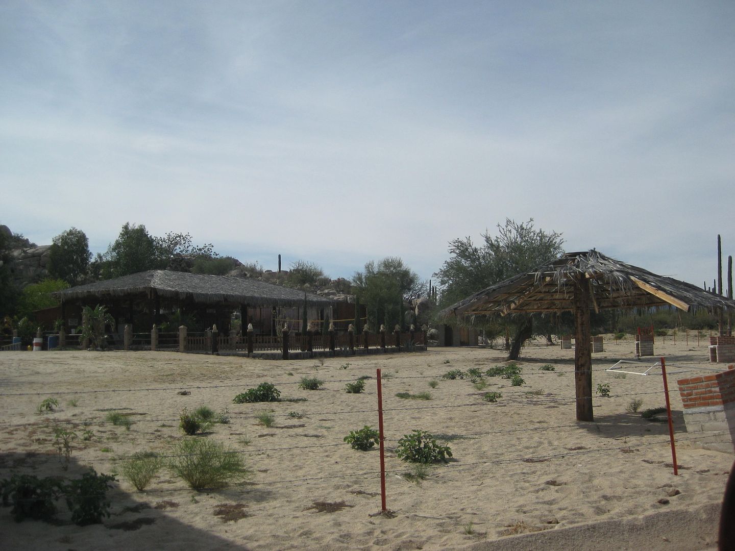
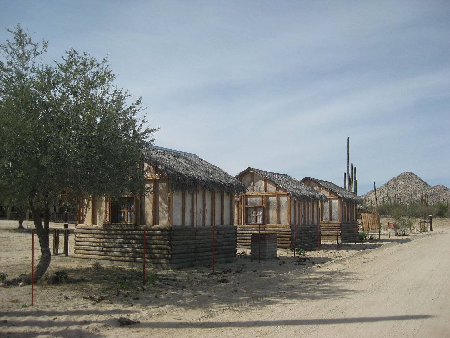
Just before returning to the L.A. Bay road junction is the signed road south for Rancho Escondido (on the El Barril road)... the sign is pretty worn
out. Like so many tourist oriented places, and this one was seeking motorcycle off roaders offering cabins and meals, it seems to have failed the test
of time.
Back north to L.A. Bay...
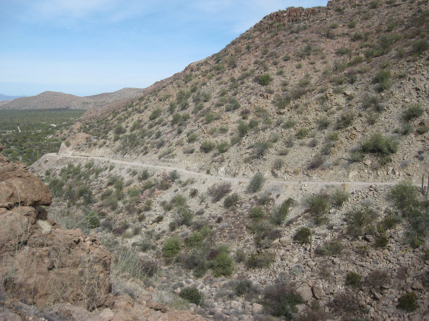
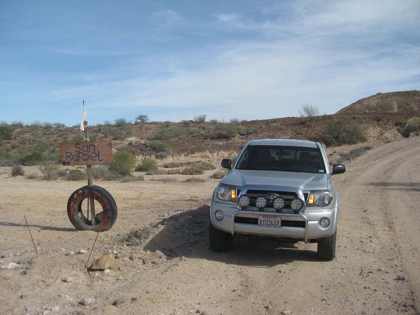
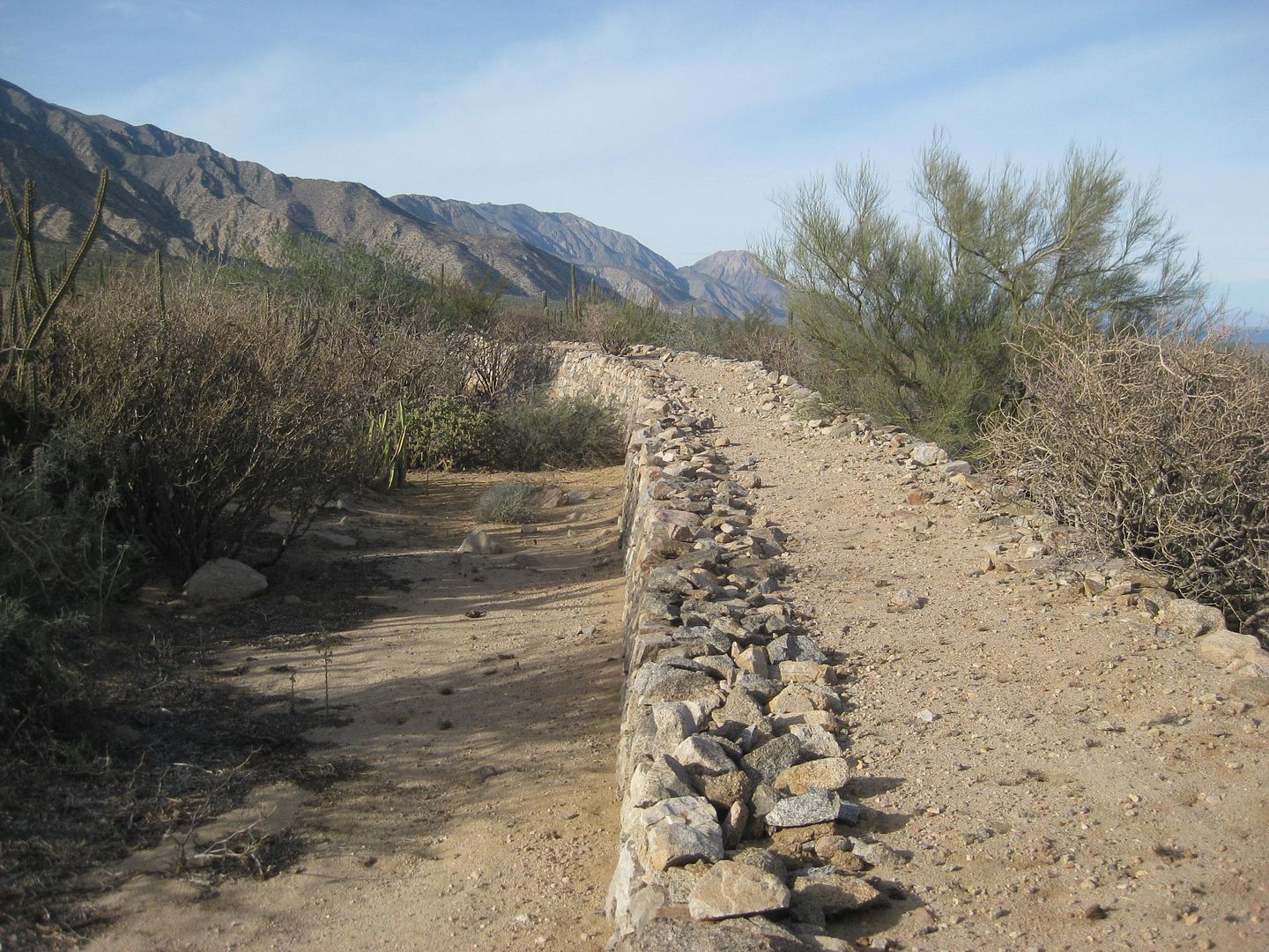
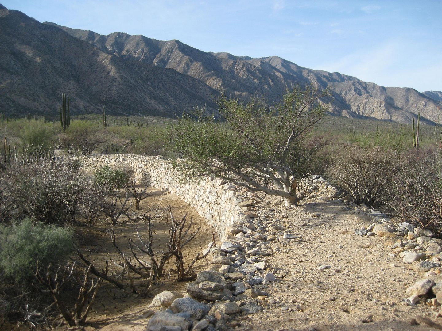
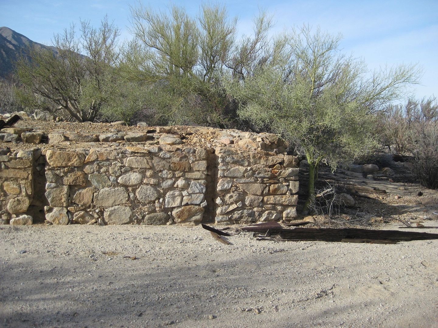
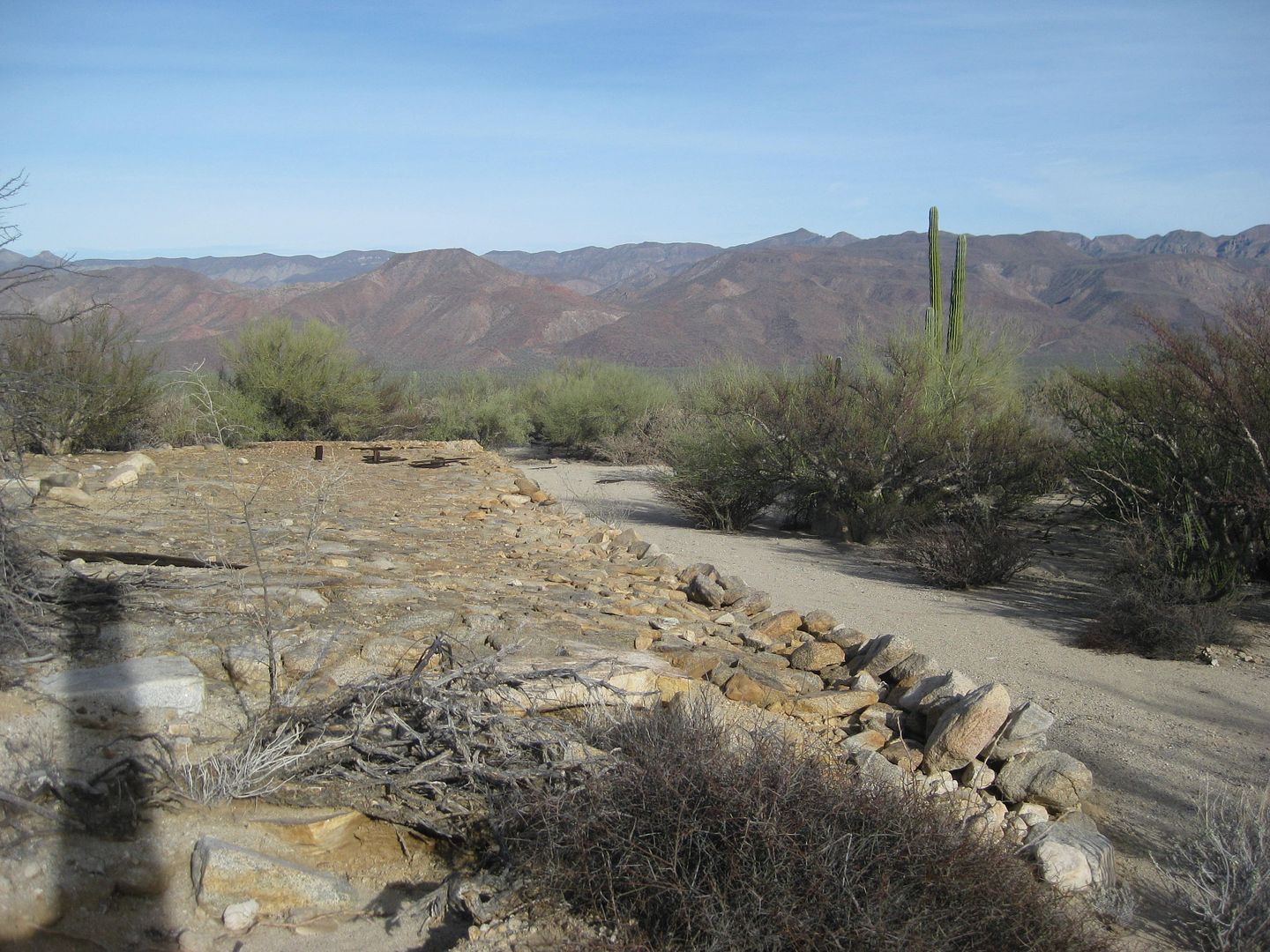
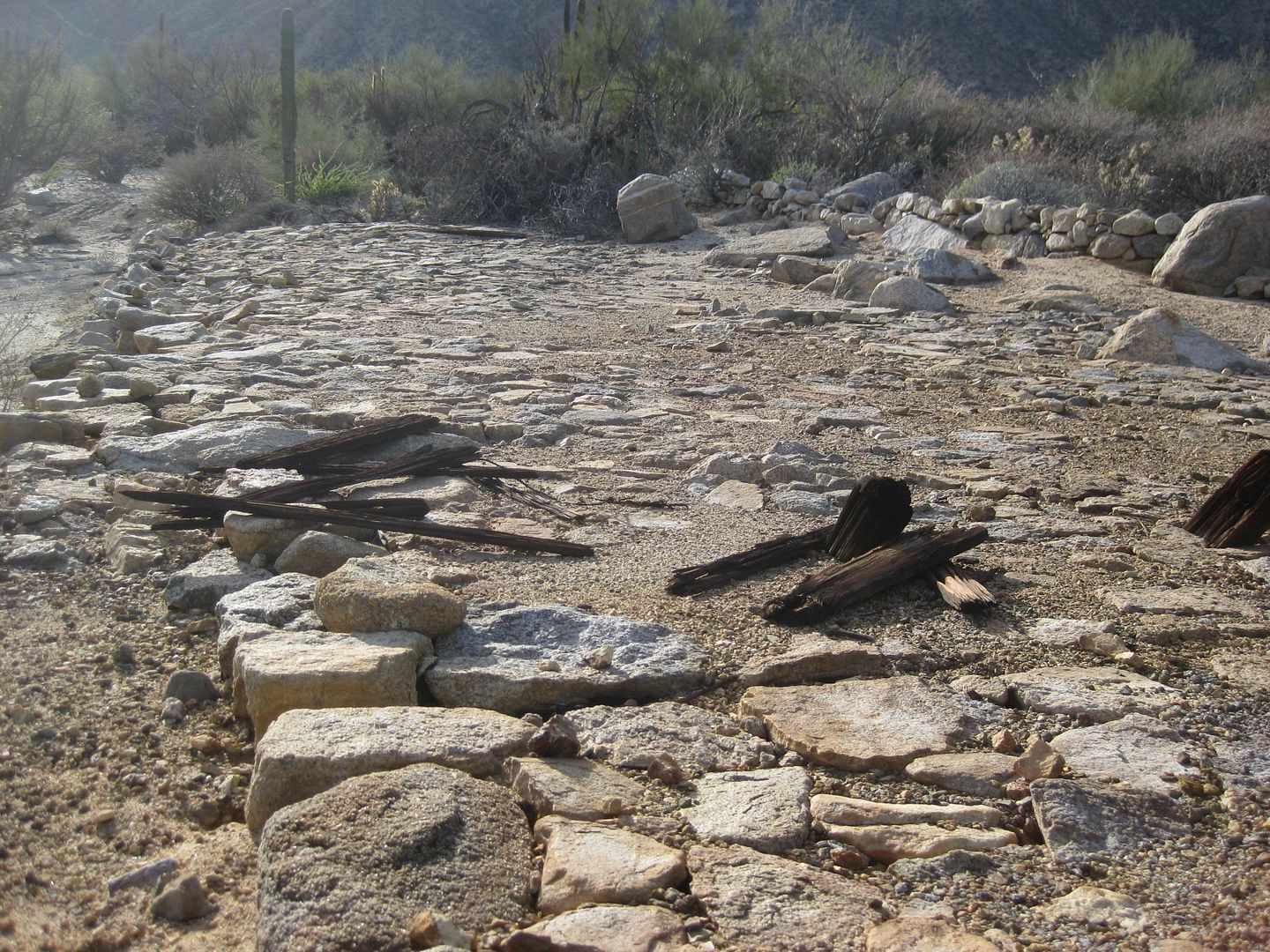
I want to see the Railroad/ tram bucket terminal platform where the Las Flores Railroad and the San Juan ore buckets met. I was last there in 2003!
The road was badly overgrown and looked only traveled by motorcycles, much of it was part of some local off road race. I scratched my truck pretty bad
getting in here, but it was worth it!
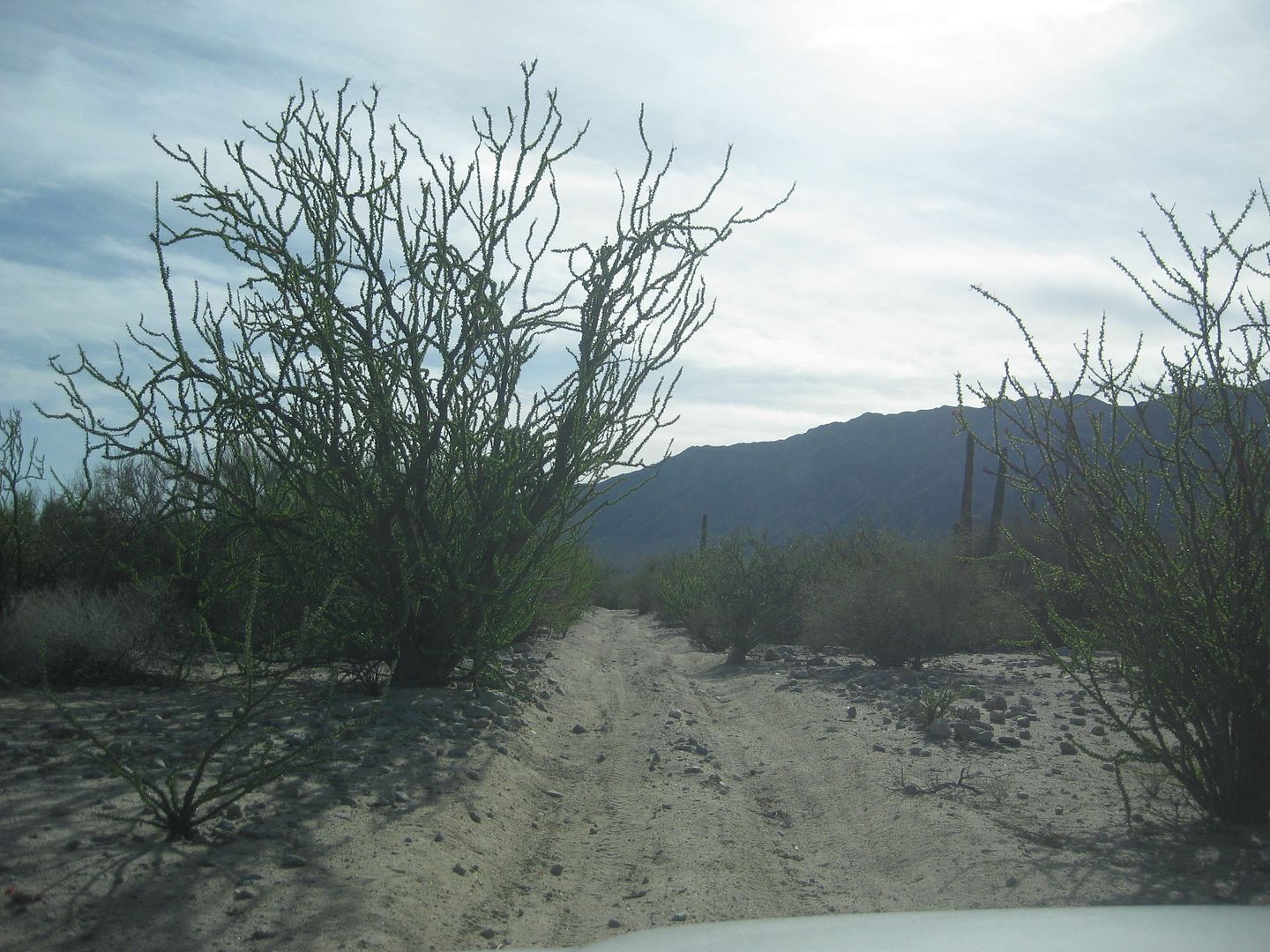
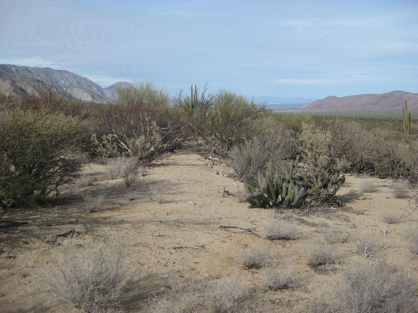
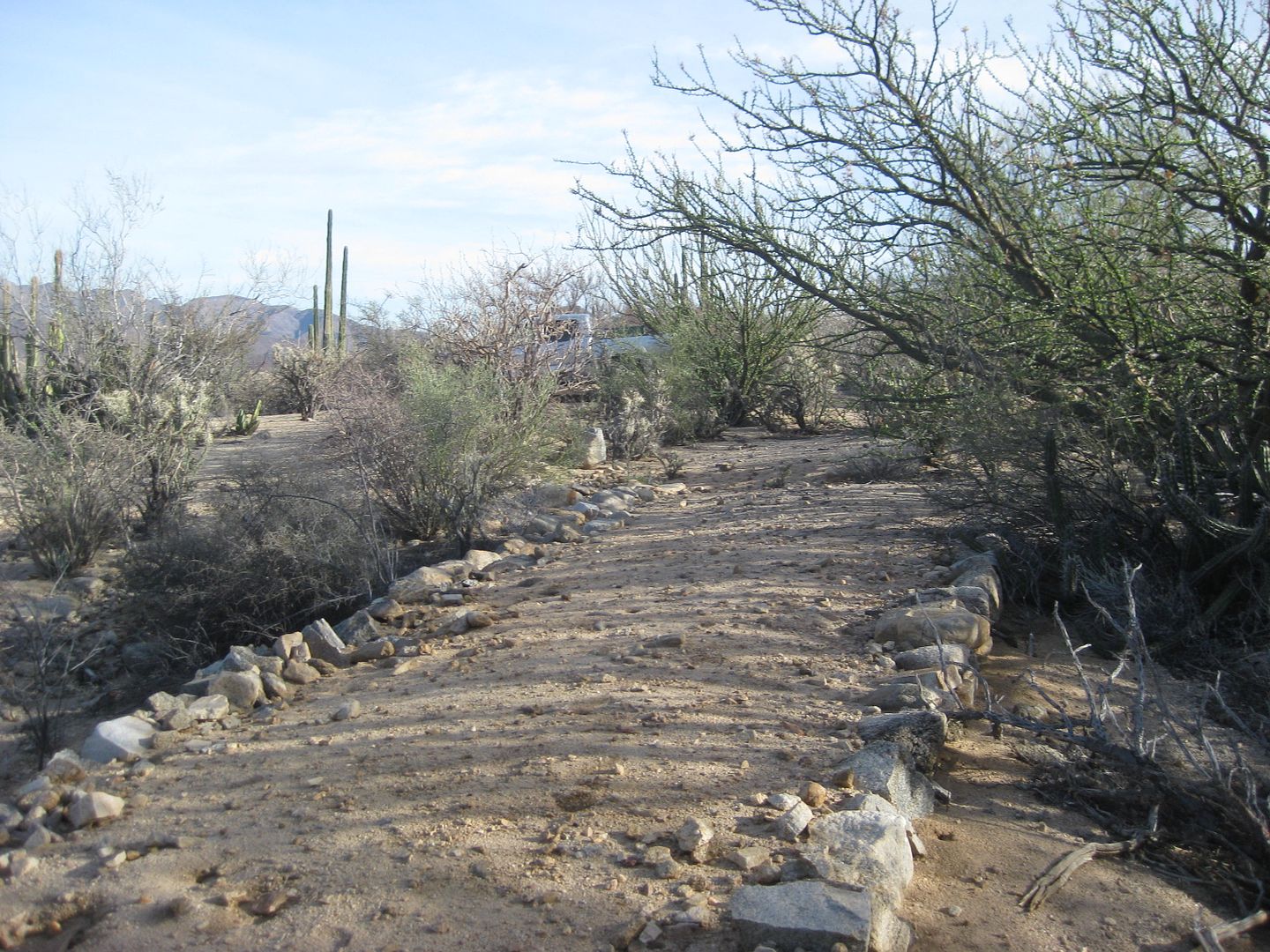
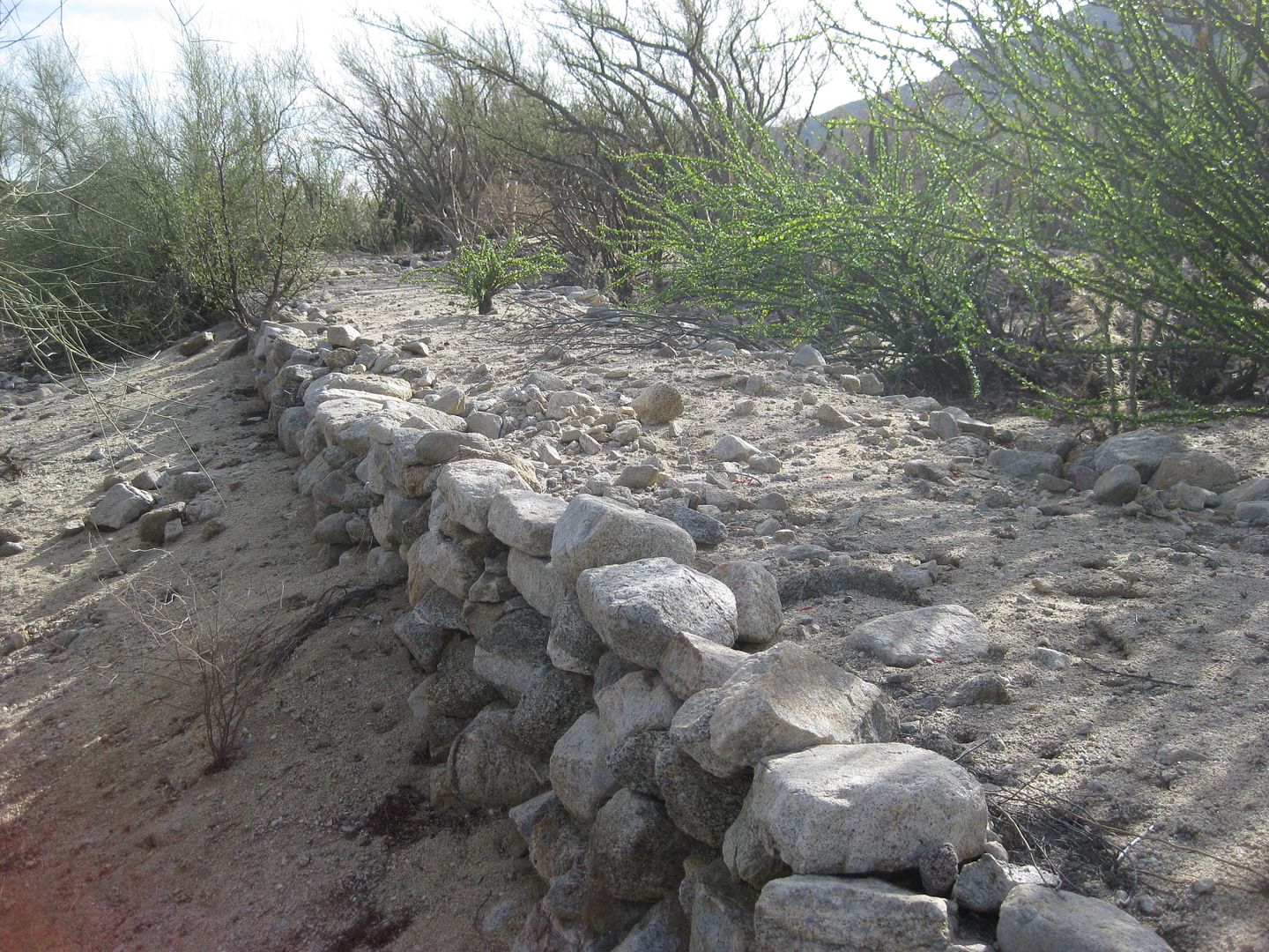
Where the railroad crosses the auto road, the rocks and eveidence are missing, covered by sand... but walk just north, past the plants...
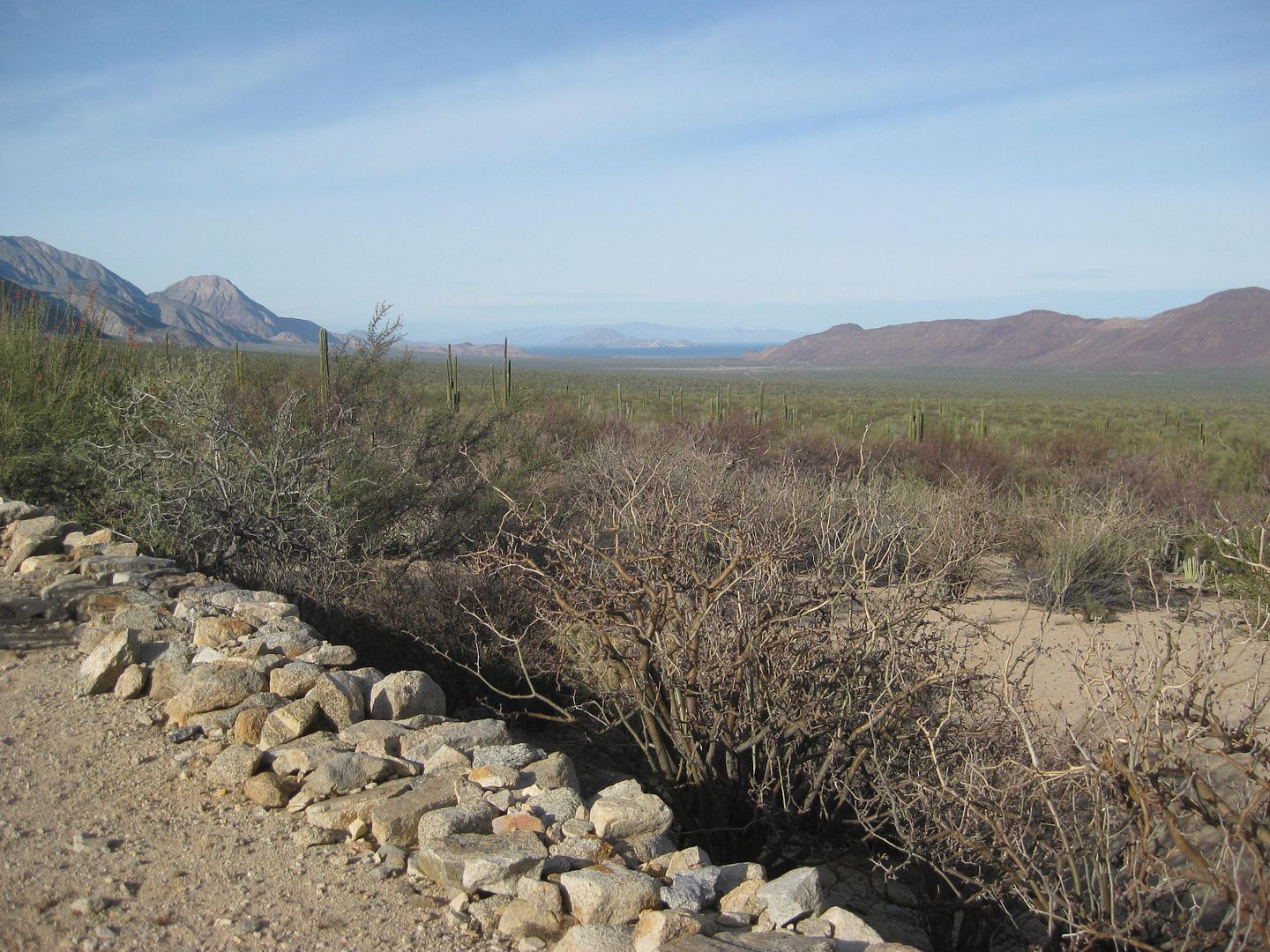
View to L.A. Bay
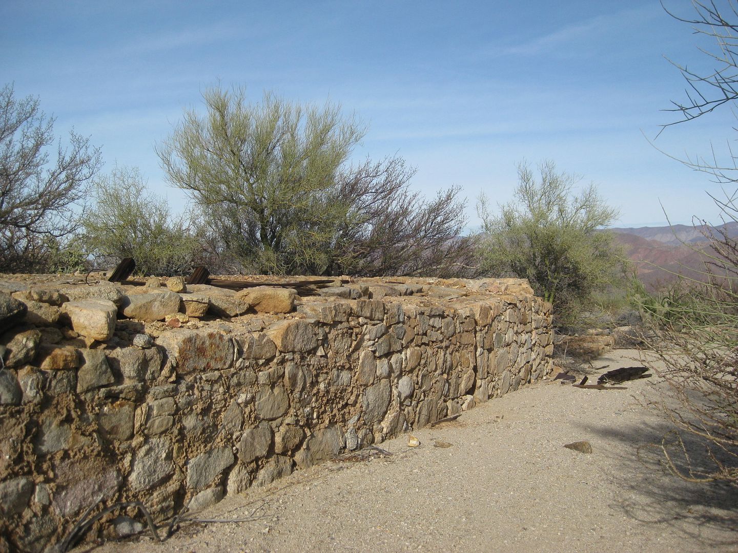
Heading back to my truck...
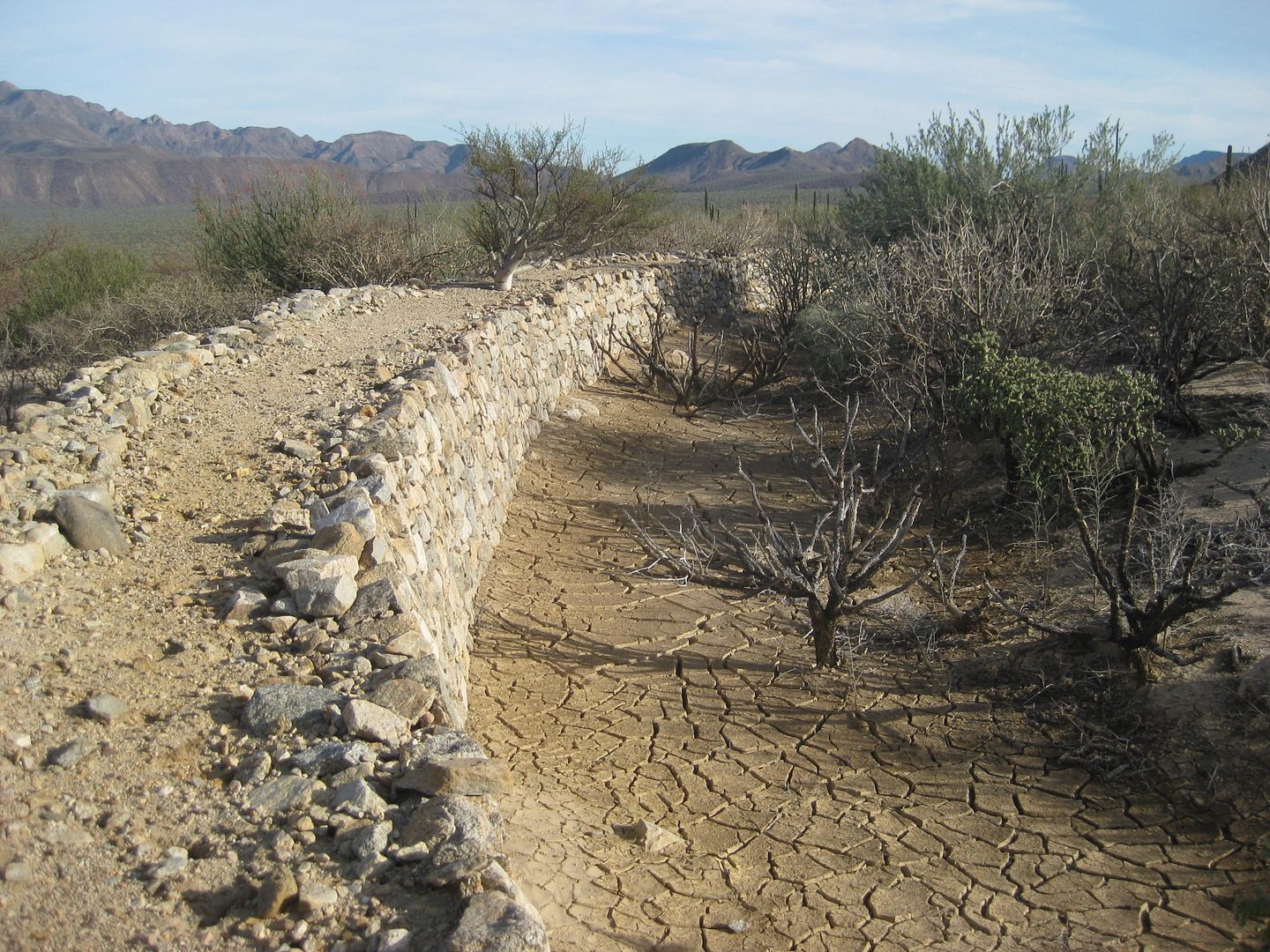

See my truck?
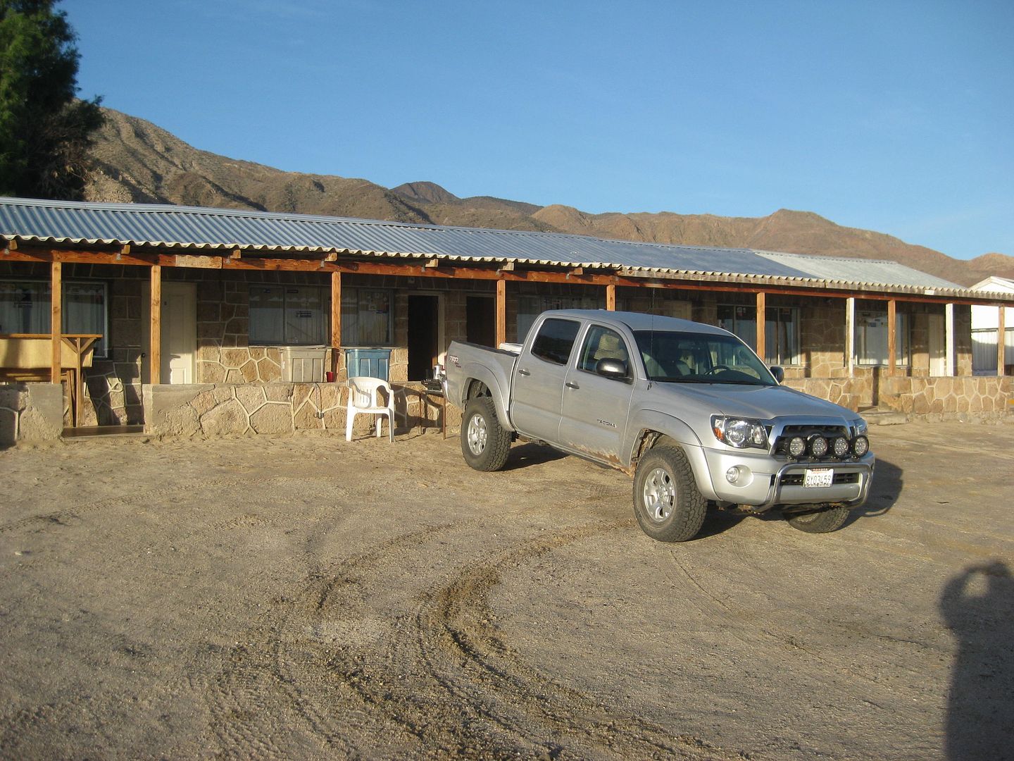
I get a room at Casa Diaz ($20), it is very rustic but has lights, bathroom, hot water, and a soft bed.
Photo from Tuesday morning sunup.
SO, my negative restaurant review for this trip comes this night.
I got the room at Casa Diaz, and decided to treat myself to a nice seafood dinner.
I went to Casa del Sol (Victoria's) where the Great Dane, Scoobydo is still greeting guests. A big family is already in the little restaurant but,
they were not yet ordering... I asked for fish, "no fish" was the reply. That is very strange in Bahia de los Angeles to have no fish. The two other
dinners items were shrimp and scallops (100 pesos each). I ask if they are real scallops (manta ray is sometimes substituted, but that would be okay,
in this case), the reply was yes, real scallops.
Okay, the soup eventually comes and it is great, have no idea what it was but a creamy, squash and cheese soup, I think. Last time it was corn chowder
and great. Victoria has great soup, and it is a cold night, so I was looking forward to that.
When the dinner arrives, I was way-way disappointed... instead of scallops or something close, like manta ray, it was squid (calamari) and I even was
going to taste one to see if it would pass, as I am not that picky. It smelled and like fishing bait.
Not wanting to embarrass Victoria in front of the large family, I walked up to the bar and quietly told her that it was not scallops, but obviously
calamari. She firmly denied it and was loud, I shook my head and she said it was the way the cook sliced it... there were a couple of back and fourths
and even said in Spanish to the Mexican family how scallops are sometimes cut that way. Yes, the tube-shaped, rubbery meat, was as much a scallop as
I was.
That she wanted to debate me on it instead of offering a substitution (real shrimp would have been fine) ended my appetite.
I had ordered two beers and enjoyed the chips and soup... but only drank a little of the second beer when my bait, I mean dinner, arrived.
I got up, asked her for the check and she said I owed nothing. I think that was an admission. I insisted on paying and told her the soup, beer and
chips were all very good. I paid her 200 pesos which was probably the full bill, but I was happy to leave.
I drove up to China's taco stand 'La Carreta' and had the most wonderful FISH tacos! Yes, they do have fish in L.A. Bay!
 
Tuesday, the long drive home with a surprise at my lunch stop (no, they had real fish and it was excellent)! Stay tuned!!!
|
|
|
Fatboy
Senior Nomad
  
Posts: 805
Registered: 6-28-2005
Member Is Offline
|
|
David,
Here is a couple shots of the beach at Calamue
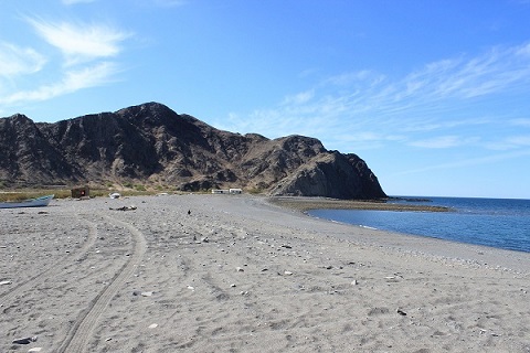 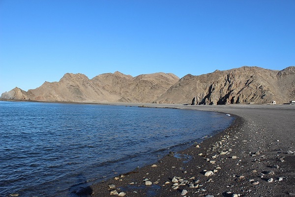
|
|
|
liknbaja127
Nomad
 
Posts: 464
Registered: 1-17-2012
Member Is Offline
|
|
David, We did talk at CoCo's, Thanks for the picture of our group!
and the Baja bound sticker's! I thought that was you, I was in the yellow car, We did the same route, look's like we were a day ahead
of you. You are right, the road below the bay is in great shape! We
will try to post some pictures.
|
|
|
David K
Honored Nomad
        
Posts: 65411
Registered: 8-30-2002
Location: San Diego County
Member Is Offline
Mood: Have Baja Fever
|
|
Oh great! I hope we can visit longer next time.
|
|
|
David K
Honored Nomad
        
Posts: 65411
Registered: 8-30-2002
Location: San Diego County
Member Is Offline
Mood: Have Baja Fever
|
|
TUE JAN 3 2017 Bahia de L.A. to Tecate
It was a beautiful morning, I made breakfast out in front of my room, on my tailgate and left just before 8 am.
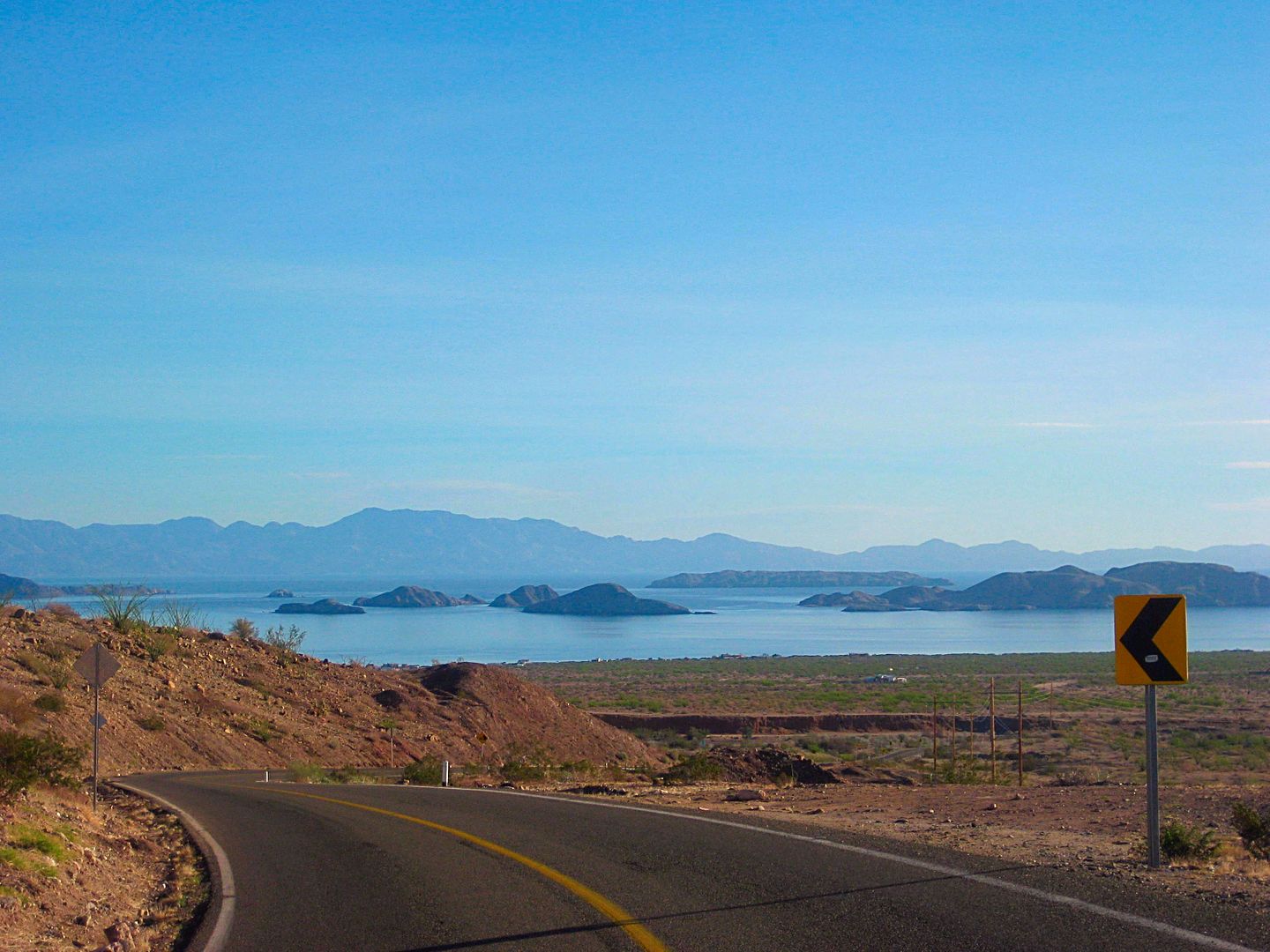
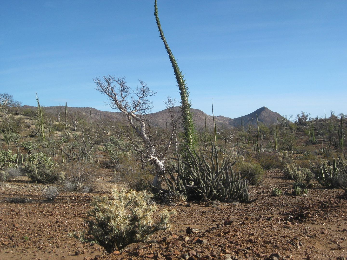
The desert west of L.A. Bay has most of the popular Baja plants, like cholla, pitahaya, elephant tree, and cirio (what we know best as a boojum tree).
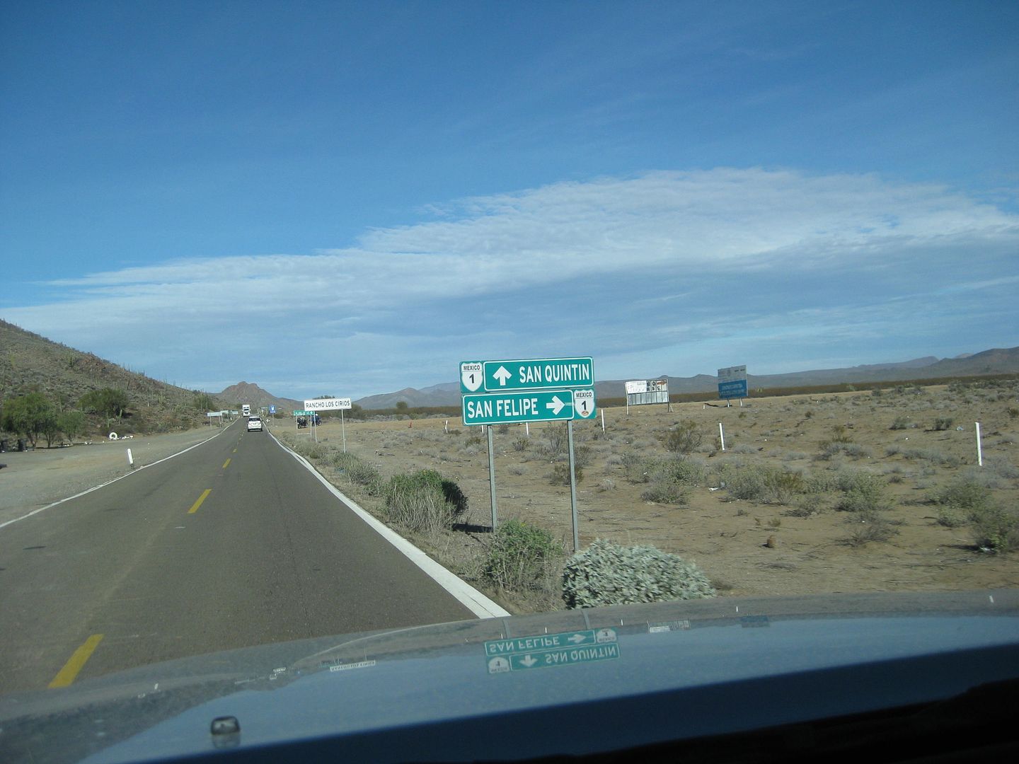
Hwy. 5 junction with the Hwy. 1, at Laguna Chapala
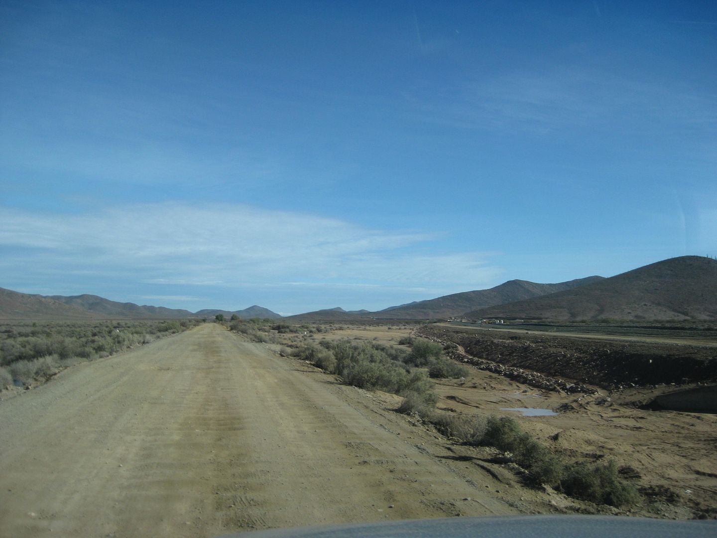
In less than a mile, the new road route veers off to the right and parallels the new, about a half mile away and in just over two miles they rejoin
again for the climb into the hills.
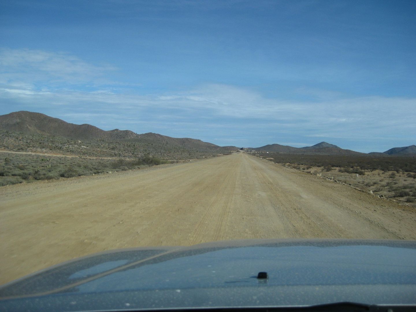
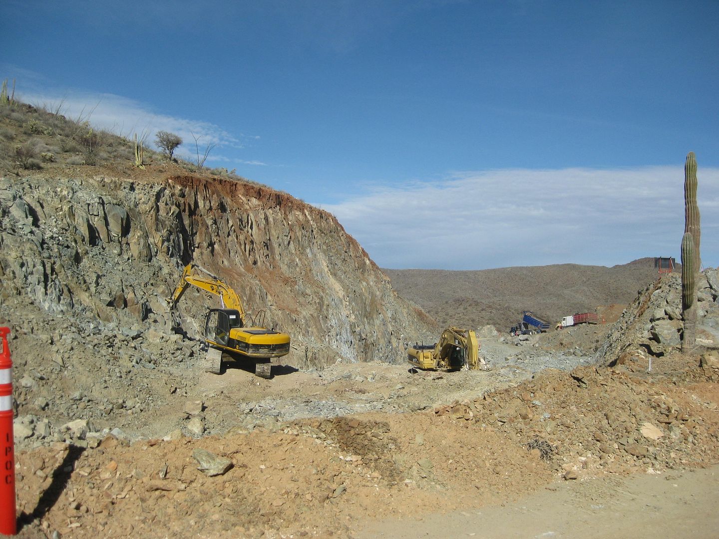
Construct to complete the final 20 some mile gap of Mexico Highway 5 (Mexicali to Laguna Chapala) is underway. I would say in another two years it
could be finished?
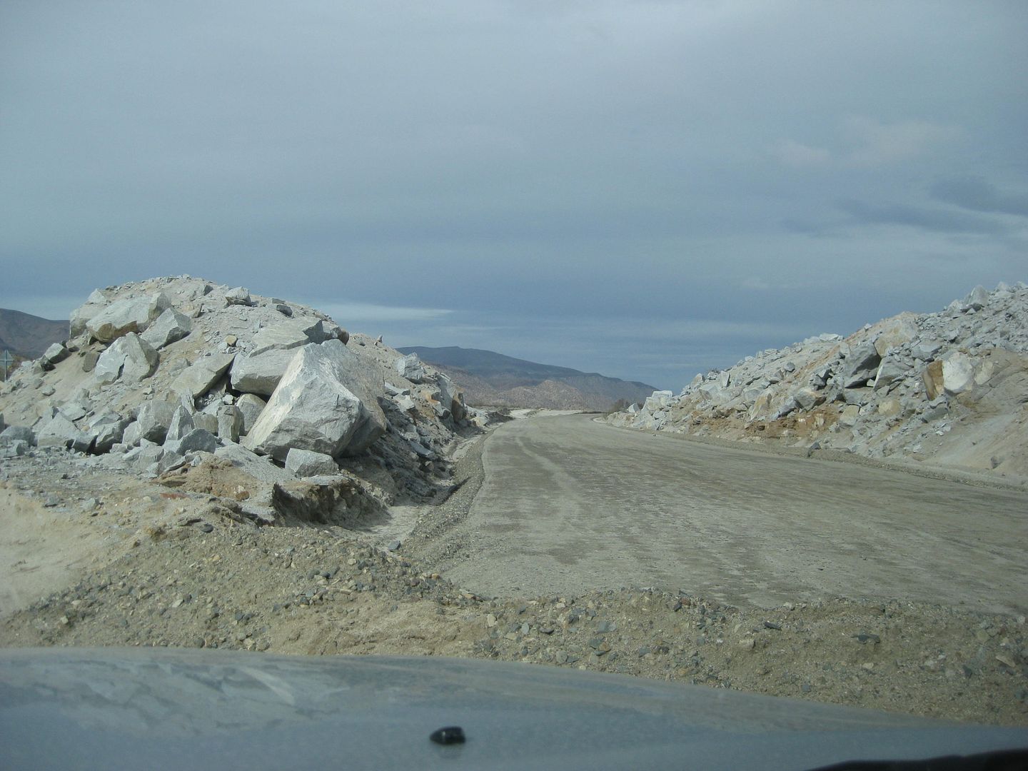
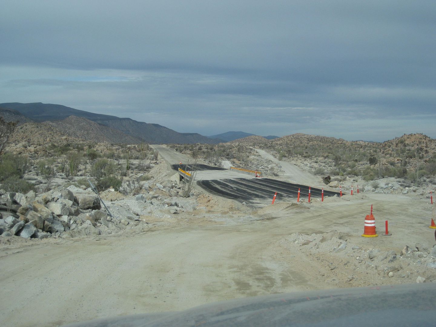
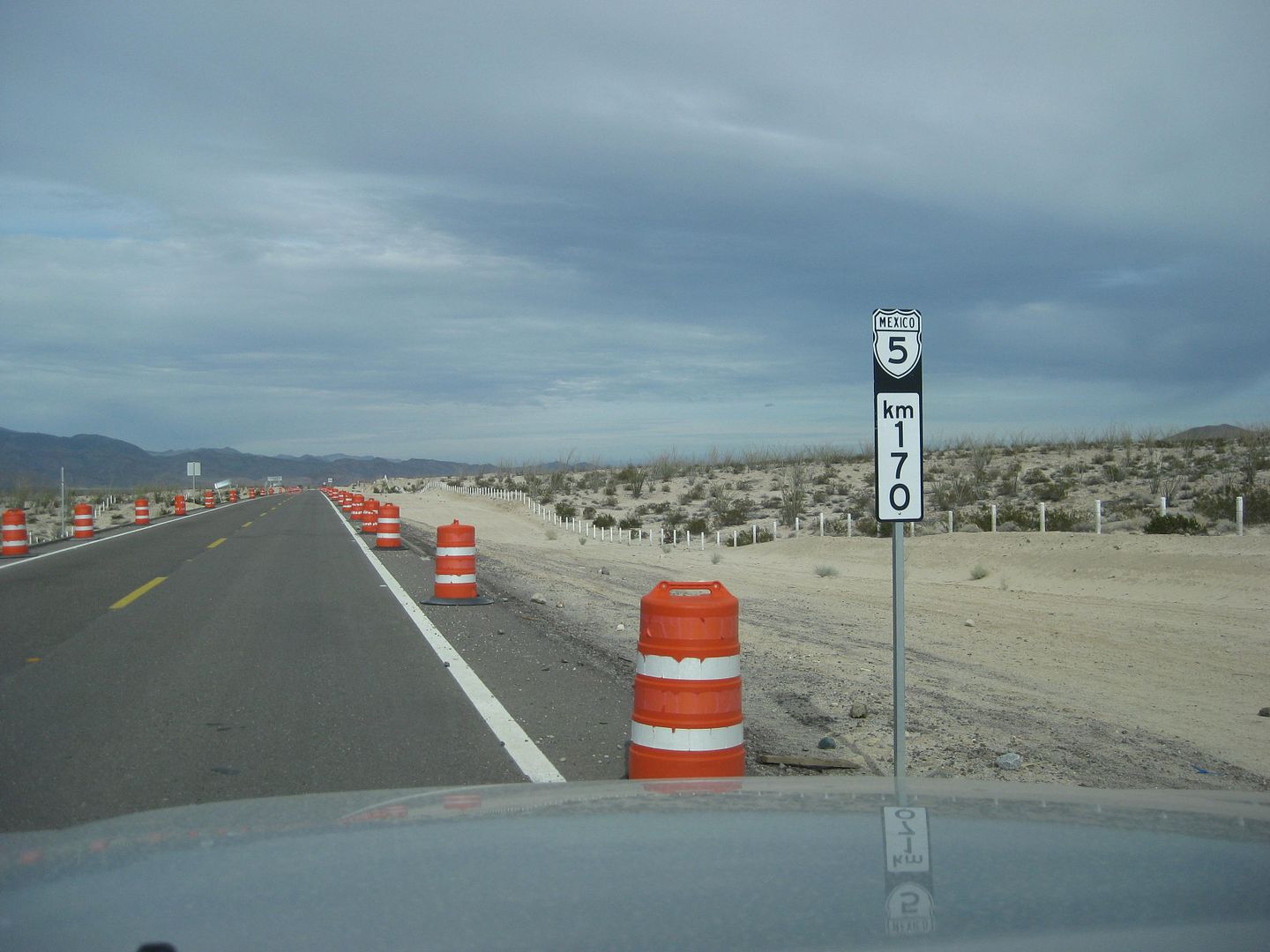
Just north of the start of pavement, but this should read Km. 167 to match all the other km. posts north of this one! In other words, the next marker
is 2 kms. north and is Km. 165... the rest are in order, going north.
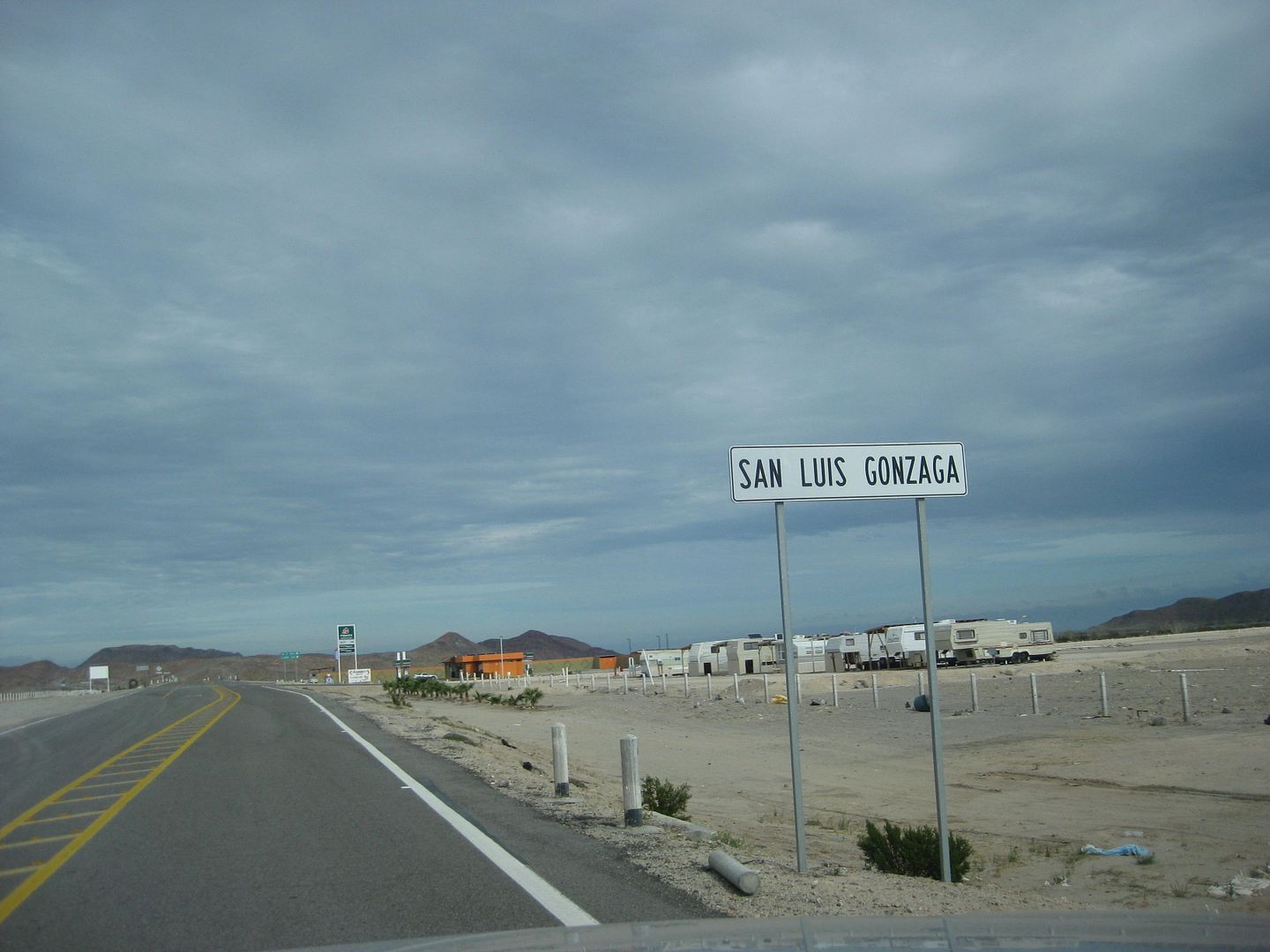
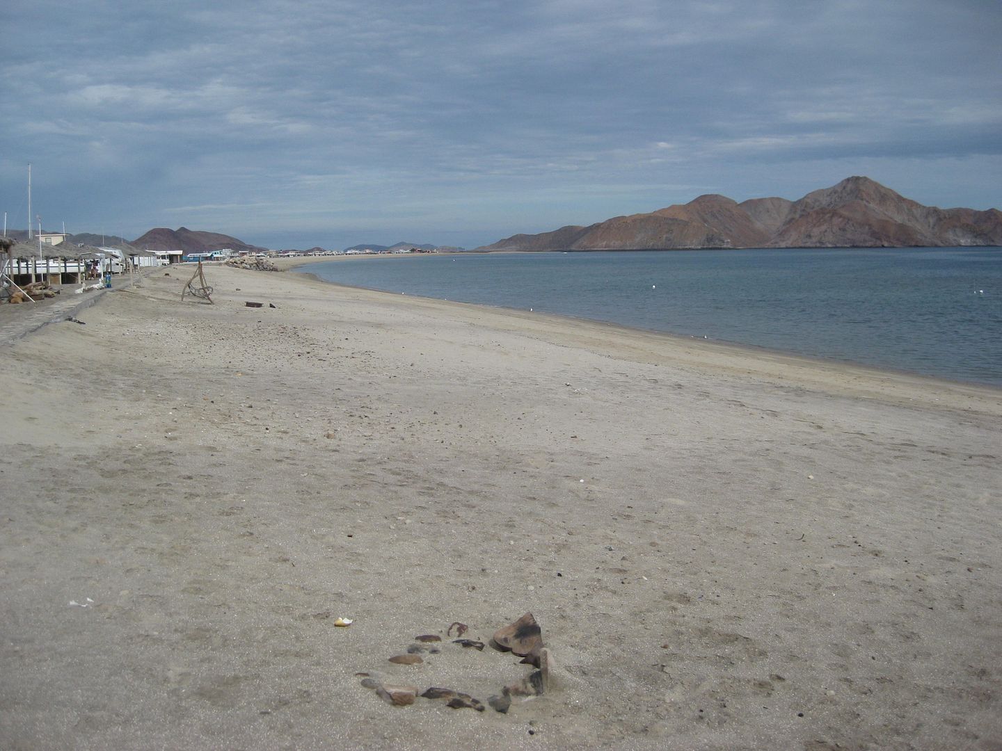
20.5 kms. north of the end of pavement is the Pemex (at Km. 147) and Rancho Grande store, beach access and Alfonsina's motel access.
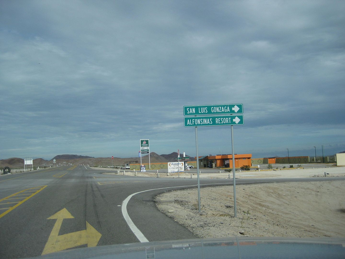
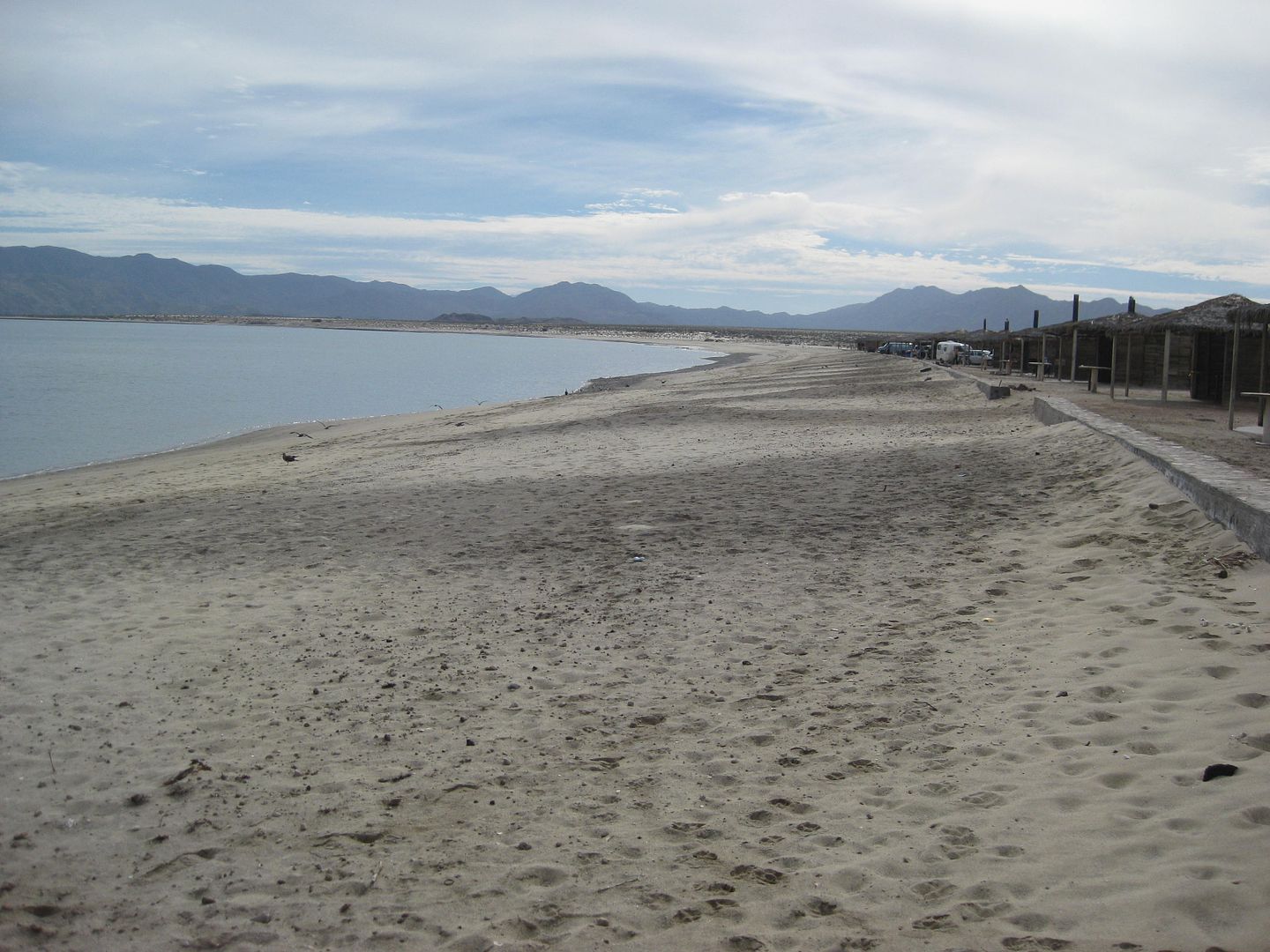
Rancho Grande beach
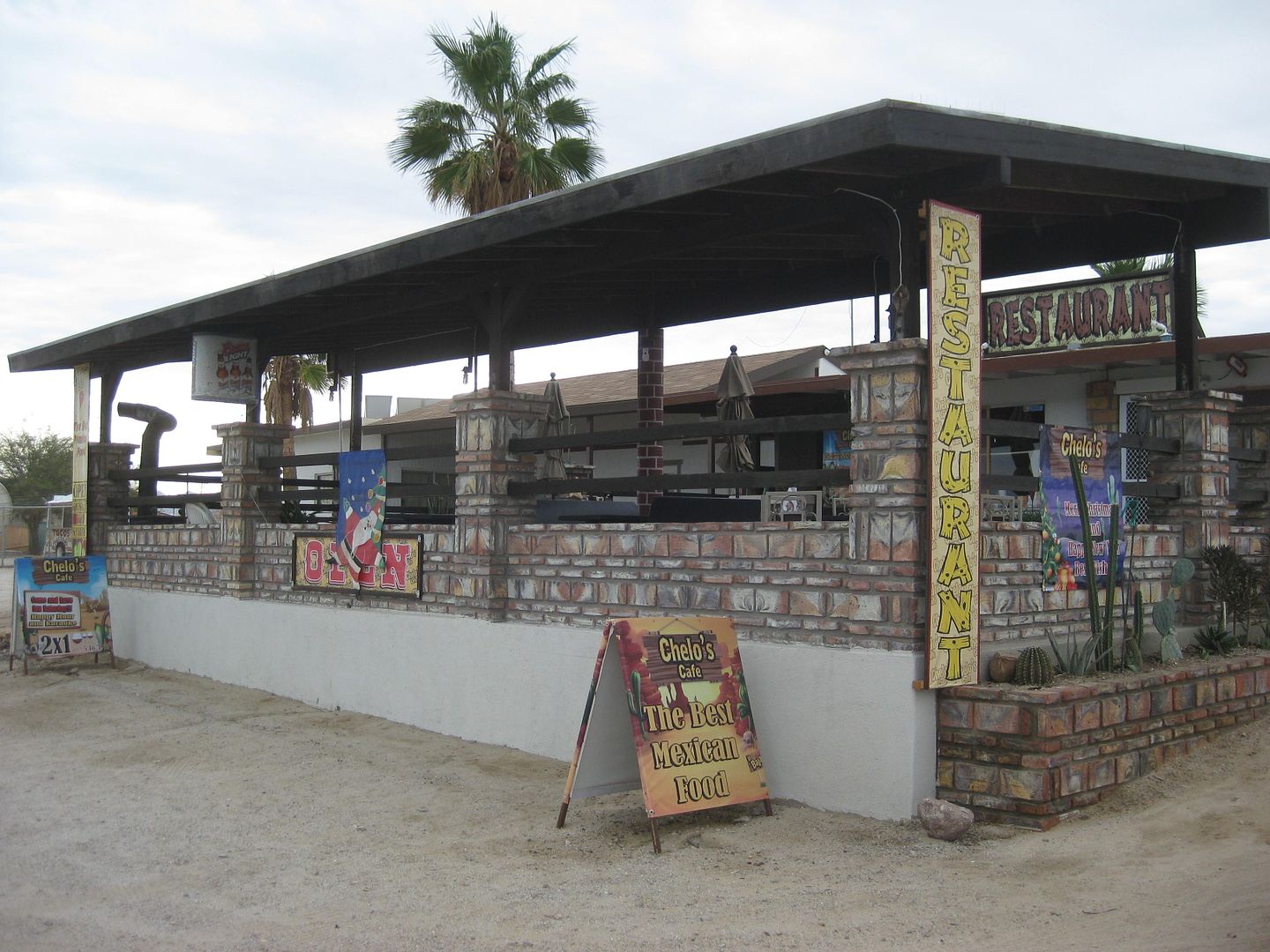
Km. 35.5, Colonia Delicias and Chelo's Restaurant... just one couple there eating at 12:15. I had a nice visit and was asked about a mission. My thank
you for the conversation was a copy of my book and if Linda (his wife) could take a photo...
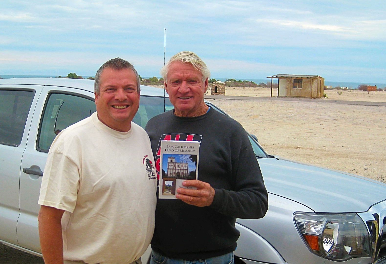
... of me and IVAN STEWART (!)
Baja is always so rewarding and fun for me... I hope that my writing and trip reports are a way to give back some of the joy.
Baja California has always been a great place to travel, explore, vacation, and be close to Nature for over 50 years of my life.
Thank you... and VIVA BAJA!
Here's a map showing where I camped or had a room:
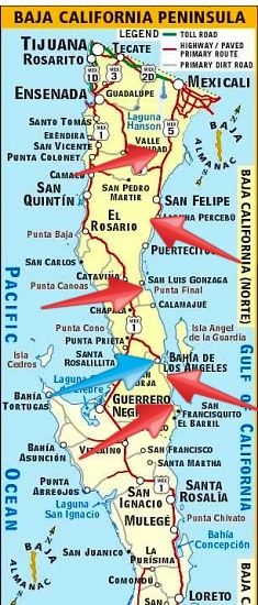
Red arrows are camping locations and the blue arrow is where I stayed at a motel for nights #4 and #7.
Top to Bottom red arrows (Night # of trip):
#1 Arroyo Grande
#2 Near Laguna Percebu
#3 Near Punta Final (Gonzaga Bay)
#5 Bahia las Animas
#6 Near Punta San Francisquito on Bahia San Rafael
[Edited on 1-6-2017 by David K]
|
|
|
TMW
Select Nomad
      
Posts: 10659
Registered: 9-1-2003
Location: Bakersfield, CA
Member Is Offline
|
|
So the iron man is still going strong, great. I heard that he gets a new Toyota truck (Tundra) every couple of years but they won't let him modify it
for off road.
|
|
|
David K
Honored Nomad
        
Posts: 65411
Registered: 8-30-2002
Location: San Diego County
Member Is Offline
Mood: Have Baja Fever
|
|
He asked about Mission Santa Maria... he had never been there. I gave the Ironman my book and told him, it's all in there. He emailed me tonight and I
gave him the link to our Nomad trip there in 2010.
Yes, his Tundra looked pretty new, and pretty stock. I think he is living life pretty easy down in the South Campos... Linda gave me their location
and invited me to stop by. Extremely nice people!
|
|
|
blackwolfmt
Senior Nomad
  
Posts: 802
Registered: 1-18-2014
Location: On The Beach With A Blackwolf
Member Is Offline
Mood: dreamin of Riden out a hurricane in Baja
|
|

So understand dont waste your time always searching for those wasted years
face up and make your stand and realize that your living in the golden years
|
|
|
liknbaja127
Nomad
 
Posts: 464
Registered: 1-17-2012
Member Is Offline
|
|
David, yes hope we can talk a little more next time. Del sol is were we stayed for 2 night's, the rooms are really nice, but we only had breakfast,
Was vary good! we ate dinner at Guillermo's, And that was
very good. We really like that town!
|
|
|
David K
Honored Nomad
        
Posts: 65411
Registered: 8-30-2002
Location: San Diego County
Member Is Offline
Mood: Have Baja Fever
|
|
I have eaten at Guillermo's, but years ago. Last trip at Alejandrina's, and Las Hamacas years ago. Food is always good or almost always! China's taco
stand is always a winner. On Sunday, she serves birria!
|
|
|
wessongroup
Platinum Nomad
       
Posts: 21152
Registered: 8-9-2009
Location: Mission Viejo
Member Is Offline
Mood: Suicide Hot line ... please hold
|
|
Thanks ... enjoyed getting out with you on your "ride"  
|
|
|
David K
Honored Nomad
        
Posts: 65411
Registered: 8-30-2002
Location: San Diego County
Member Is Offline
Mood: Have Baja Fever
|
|
It was my pleasure to share this with you!
I was just very fortunate to get to travel the roads and visit all the campgrounds and beaches I could... plus the cool places like the railroad
terminal south of Las Flores (even though I scratched up my truck again going there (I had it detailed after the Baja Extreme tour in September)!
|
|
|
LukeJobbins
Nomad
 
Posts: 196
Registered: 3-11-2014
Location: Lemoore, Ca
Member Is Offline
|
|
That's an awesome trip. It's weird that you got a room for 20 dollars at casa Diaz. They quoted me 40 for one night solo and a guy a day before 50.
The cheapest place I found was villa vita. And I also went in search of the mine ruins but couldn't find them. I drove the road as far as I could then
obviously walked in the wrong direction. Next time, now that I read baja bounds gps coordinates. Sounds like following your route will have to be my
next trip.
|
|
|
David K
Honored Nomad
        
Posts: 65411
Registered: 8-30-2002
Location: San Diego County
Member Is Offline
Mood: Have Baja Fever
|
|
Quote: Originally posted by LukeJobbins  | | That's an awesome trip. It's weird that you got a room for 20 dollars at casa Diaz. They quoted me 40 for one night solo and a guy a day before 50.
The cheapest place I found was villa vita. And I also went in search of the mine ruins but couldn't find them. I drove the road as far as I could then
obviously walked in the wrong direction. Next time, now that I read baja bounds gps coordinates. Sounds like following your route will have to be my
next trip. |
It was Chubasco himself (Arturo Jr.) who rented me the room, let me look at it, and I even told him he should consider fixing them up to appeal to
more... but he said then they couldn't be just $20. So, they want to appeal to the low-income visitor. I was in #7, closer to the beach. The room and
sheets, etc, were all clean, but it was a stoic cabin of a room... dating back to the 1950s or 60s, as my last time there (at Casa Diaz) was 1967!
Las Hamacas was a nicer, TV (Spanish only), and a cool shower head that made an awesome pressure boost, for $35. Yet, it was still a bargain type
room, but more of a motel than a fishermen cabin (as is Casa Diaz rooms).
The better places are all available, but more in the $60+ range.
|
|
|
David K
Honored Nomad
        
Posts: 65411
Registered: 8-30-2002
Location: San Diego County
Member Is Offline
Mood: Have Baja Fever
|
|
Quote: Originally posted by LukeJobbins  | | And I also went in search of the mine ruins but couldn't find them. I drove the road as far as I could then obviously walked in the wrong direction.
Next time, now that I read baja bounds gps coordinates. Sounds like following your route will have to be my next trip. |
The stuff on the valley floor was processing the ore... the mine is way up at the top of the mountain, at San Juan.
A railroad line (narrow gauge) brought the ore from the mine entrance to the top of the cable tram line.
The tram buckets took the ore down the side of the mountain, in the canyon, to the terminal platform. There, the ore was dropped into the train cars.
The train (engine on display in L.A. Bay town plaza) took the ore to Las Flores (about 5 miles) where the town was and the gold and silver ore was
processed and poured into ingot molds.
The ingots were then transported by wagon to the bay for shipment.
If the Mexican Revolution of 1911 didn't stop operations, the railroad was to be extended to the bay and plenty more ore could be extracted!
See my article on San Juan/ Las Flores: https://www.bajabound.com/bajaadventures/bajatravel/las_flor...
Here are my tracks from last week:
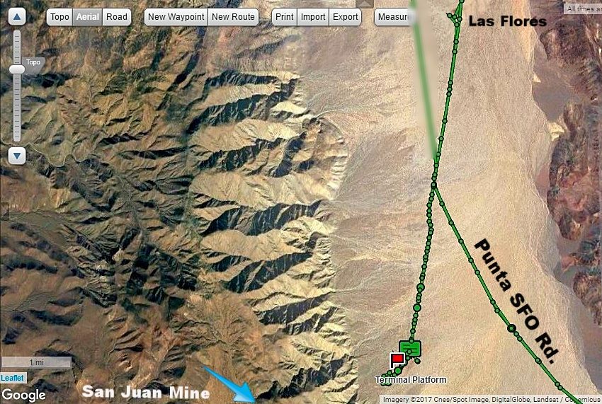
On the Punta San Francisquito Road from the point across from the Las Flores Jail south to the terminal platform access road (where the PSFO
road curves to the left), it is 2.3 miles. The road on to the platform area was used for a motorcycle race, it is overgrown, and will scratch your
rig!
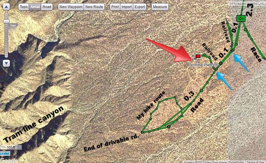
A close up of the terminal platform: The mileage from the PSFO graded road is 2.4 (not 2.3 as shown, sorry) to where the race course road
turned off to the left. Soon the road for the terminal curves to the right and here (0.1 mi. from race road) it crosses the railroad line heading
downhill to Las Flores. It is not visible where it crosses the road [blue arrow], but get out and walk north past the vegetation and it is immediately
visible. See the red line track where I walked it for several dozen feet. Another 500 or so feet on the road is the second railroad crossing [blue
arrow], and like the first, it isn't visible until you leave the road and walk to the north. Here is the way to the platform where the giant cable
wheel once was mounted for the tram line [red arrow].
The road could not be driven more than 0.3 mi. beyond the second RR crossing. I did not see it, so I parked at the end of the road and began walking
north and east searching (see red line to north of road) and came back to my truck and spotted it as I drove slowly back down.
|
|
|
BornFisher
Super Nomad
   
Posts: 2128
Registered: 1-11-2005
Location: K-38 Santa Martha/Encinitas
Member Is Offline
|
|
Really enjoyed the report. Some of those pics are stunning!!!
"When you catch a fish, you open the door of happiness."
|
|
|
David K
Honored Nomad
        
Posts: 65411
Registered: 8-30-2002
Location: San Diego County
Member Is Offline
Mood: Have Baja Fever
|
|
Ain't Baja Great!??
|
|
|
| Pages:
1
2
3
4 |
|

