| Pages:
1
2
3
4
..
6 |
John M
Super Nomad
   
Posts: 1924
Registered: 9-3-2003
Location: California High Desert
Member Is Offline
|
|
Tough part of the route
Though it was more than a few years ago, there was a challenging uphill climb about a mile or so after leaving Rancho Santa Ynez, big rocks - wouldn't
surprise me if that has gotten worse, also just after crossing over the divide there was some fun.
JM
|
|
|
David K
Honored Nomad
        
Posts: 65434
Registered: 8-30-2002
Location: San Diego County
Member Is Offline
Mood: Have Baja Fever
|
|
Quote: Originally posted by John M  | Though it was more than a few years ago, there was a challenging uphill climb about a mile or so after leaving Rancho Santa Ynez, big rocks - wouldn't
surprise me if that has gotten worse, also just after crossing over the divide there was some fun.
JM |
Hi John, we are on 2-D heading to Tecate.
The big gully is as bad as ever, worse actually!
There is a new route that stays in the arroyo that bypasses that. We did both!
Hard to text while TW is driving. More tonight!
Hi Art!!!
|
|
|
David K
Honored Nomad
        
Posts: 65434
Registered: 8-30-2002
Location: San Diego County
Member Is Offline
Mood: Have Baja Fever
|
|
Tecate, 28 min line just now.
|
|
|
ehall
Super Nomad
   
Posts: 1906
Registered: 3-29-2014
Location: Buckeye, Az
Member Is Offline
Mood: It's 5 o'clock somewhere
|
|
Barely enough time for churros
|
|
|
larryC
Super Nomad
   
Posts: 1499
Registered: 8-11-2008
Location: BoLA
Member Is Offline
|
|
Quote: Originally posted by John Harper  | Quote: Originally posted by larryC  | | I went to the Mission last November and going in was exciting but coming out was a team effort. I was driving a Polaris rzr 1000 4 seat. Ended up
breaking a belt but had spares. Fun ride. |
They seem to be very susceptible to broken belts. Why is that? Is it a hard task to replace? I read on Polaris site they last 1500-2000 miles,
which seem very short life between leaving you stranded. Harley drive belts often last over 100K miles.
John
[Edited on 3-31-2022 by John Harper] |
The clutch and belt drive system on the Polaris rzr is the weak link for sure. One problem is they do have enough horse power tear up the belt but a
second problem is the clutch housing is air cooled and not adequately cooled so the belt can overheat. Also in my opinion they are geared a little too
high. They have a low range on the transmission but not low enough if you are trying to do some rock crawling. The clutch housing intake air is not
filtered very well either. A lot of dust and dirt gets into the clutch housing and really wears things out fast. I added a K&N filter to the
clutch housing intake and a couple of fans to increase air flow and that has helped a lot. I have 8,000 miles on this primary clutch.
Off grid, 12-190 watt evergreen solar panels on solar trackers, 2-3648 stacked Outback inverters, 610ah LiFePo4 48v battery bank, FM 60 and MX60
Outback charge controllers, X-240 Outback transformer for 240v from inverters, 6500 watt Kubota diesel generator.
|
|
|
TMW
Select Nomad
      
Posts: 10659
Registered: 9-1-2003
Location: Bakersfield, CA
Member Is Offline
|
|
Lots of fun to and from Mission Santa Maria.
Damage report:
TMW got flat going in and broke upper shock mount Dr side rear coming out. No problem with my front and rear lockers working great.
Debbie in Jeep Rubicon lost nut on Dr rear shock bottom. Toyota lug nut works for temp fix.
Ed's jeep no lockers but brake control system works but had a few hard times in places.
Rudy's Tacomca no problems
|
|
|
TMW
Select Nomad
      
Posts: 10659
Registered: 9-1-2003
Location: Bakersfield, CA
Member Is Offline
|
|
FYI on Mission Santa Maria run.
5.5 hours going in. Took old route, very rocky. Flat took 30 minutes to replace wheel.
3.5 hours coming out. ran wash coming out, saves times and lots easier.
|
|
|
David K
Honored Nomad
        
Posts: 65434
Registered: 8-30-2002
Location: San Diego County
Member Is Offline
Mood: Have Baja Fever
|
|
Thanks Tom, I will have some more fun data and photos to share, soon!
|
|
|
David K
Honored Nomad
        
Posts: 65434
Registered: 8-30-2002
Location: San Diego County
Member Is Offline
Mood: Have Baja Fever
|
|
Monday March 28, 2022: Tijuana to El Rosario
Team Mission Santa María 2022 is:
Rudy (El Comadante Loco) and Ken, in a TRD Tacoma;
Ed and Phil (XRPhlang), in a Jeep Grand Cherokee;
Debbie and Miriam (Ed's wife), in Debbie's 4-door Rubicon Jeep; and
Tom 'TW' (TMW) and David (David K), in a Tacoma
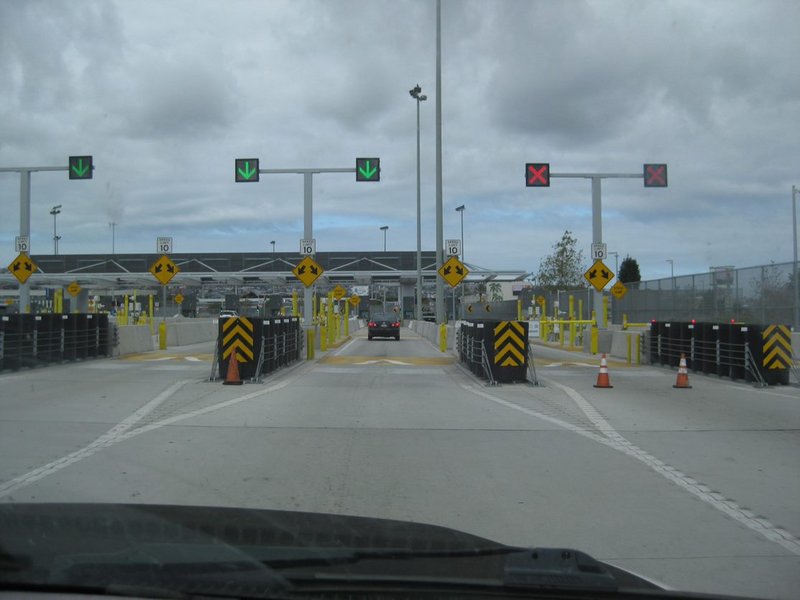
Leaving the USA, unmanned checkpoint
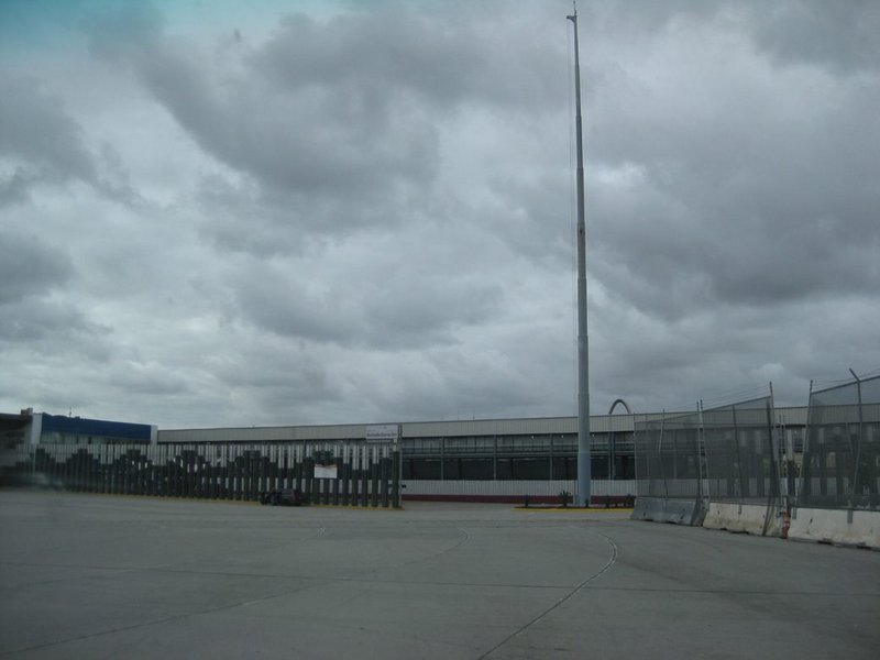
Giant flagpole at entrance to parking for FMM (and "something to declare" people). Use the far-right-lane and exit from main flow of traffic.
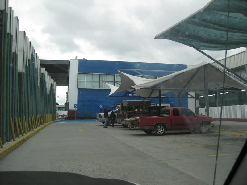
Parking is covered on the north side of the building. Walk through the building to the opposite side. INM desks are just outside. The bank teller is
just inside from the INM desks for paying the 638 pesos (about $32 US).
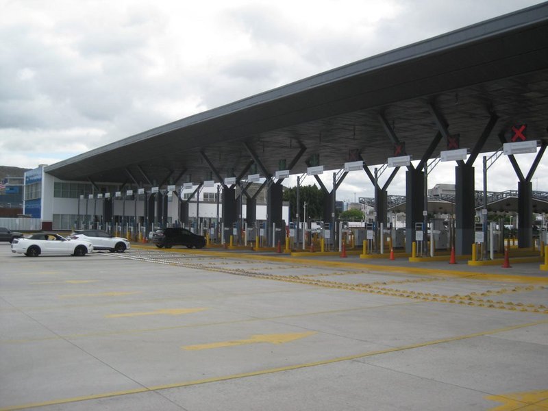
Easily merge into the south flowing traffic after leaving the covered parking area.
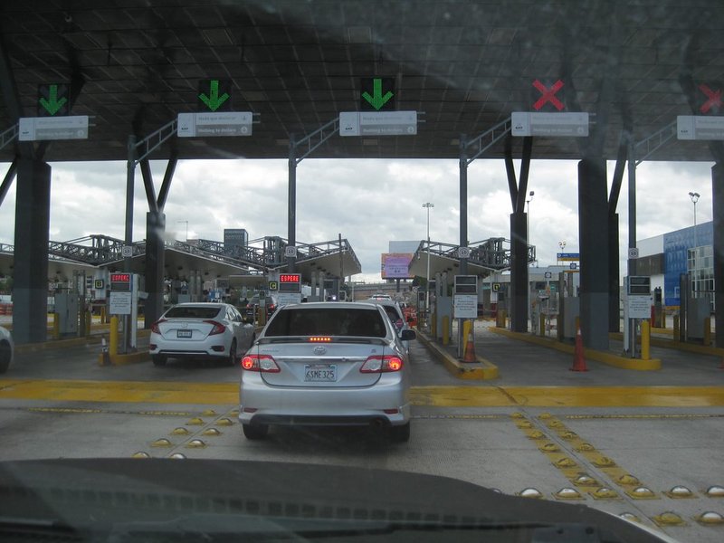
The electronic gates (red light or green light). While we got a green light, as we came to an officer, TW stopped to see if he wanted more from us. He
asked where we were going. "La Paz" was said. We were asked to pull into a parking spot out of traffic for a quick vehicle search and were soon on our
way. [We had put down 'La Paz' as our destination on the 180 Day FMM, so that was in TW's head]
In Ensenada, we topped the gas tank ($2/gallon cheaper than San Diego) and then telephoned Phil and Rudy to see where they were at. No answer from
Rudy (who came from San Felipe and used the dirt road shortcut from Valle de Trinidad). Phil (in Ed's Grand Cherokee) answered from Valle de
Guadalupe. They would be stopping for groceries and to buy the Grandpa's bags of rice and beans. Rudy was bringing bedding that TW had collected in
the past, and other items (as were we). We continued on south.
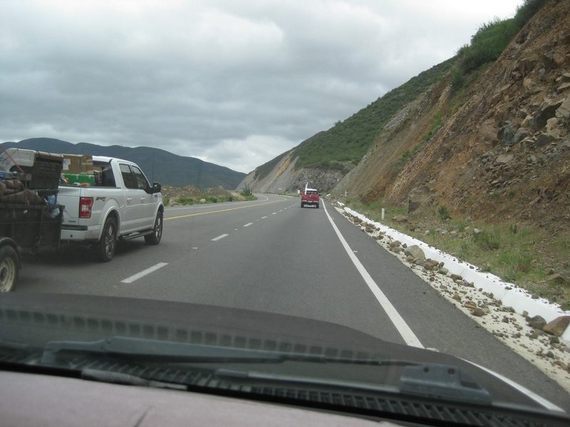
The nice wide new road south of Santo Tomás.
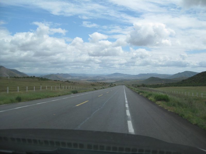
San Vicente comes into view.
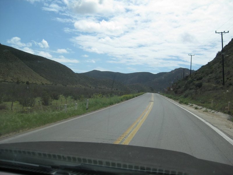
Near Km. 120 is where the pavement had once ended (1950s to late 1960s). This is where my dad (in 1966) said to my mom and I, "Now, the adventure
begins"!
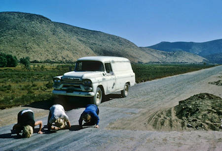
A photos from 1965 at this spot, where happy north-bound people kiss the pavement following miles of bone-jarring washboard or worse road!
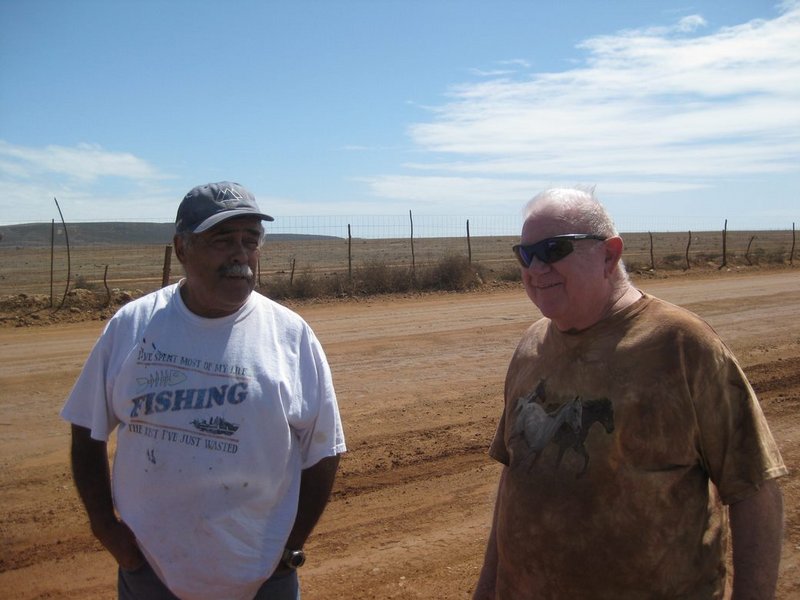
We meet up with Rudy after turning off Hwy. 1 for the Grandpa's place (one mile west of Km. 149.5, signed for Punta San Jacinto). TW on the right.
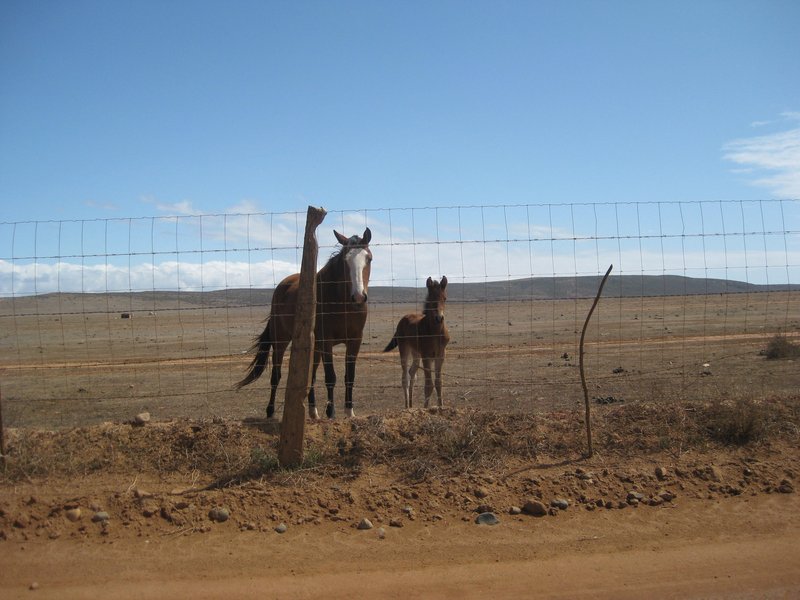
The 'locals' see what we are doing.
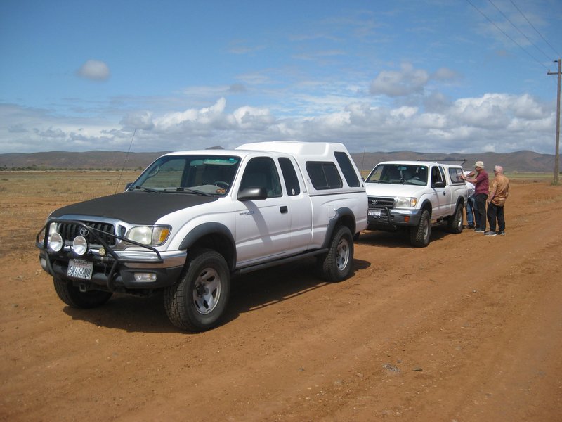
TW's 2004 Tacoma (with a posi-traction diff in the rear and lockers in the front. Rudy has a late 90's TRD Off Road Tacoma with a rear locking
differential.

At the Grandpa's, Jesus and his tall-brother Guillermo (who speaks perfect English) explain the program and facility as Rudy listens.
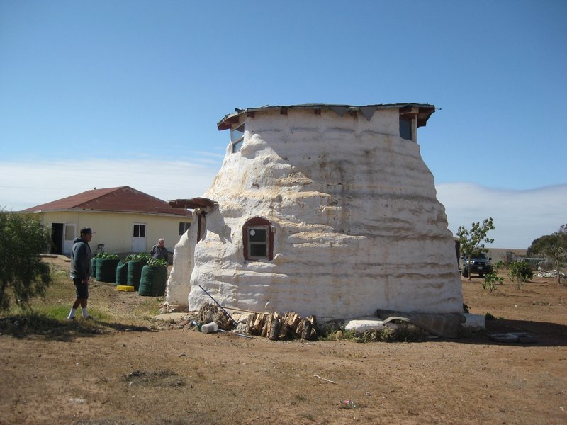
This 'beehive-looking' house is where the two brothers live. It makes an easy identification for the Grandpa's home, which is in the background. This
is about 1 mile from the highway, on the right, as you near the village of Ejido Mesa de San Jacinto.
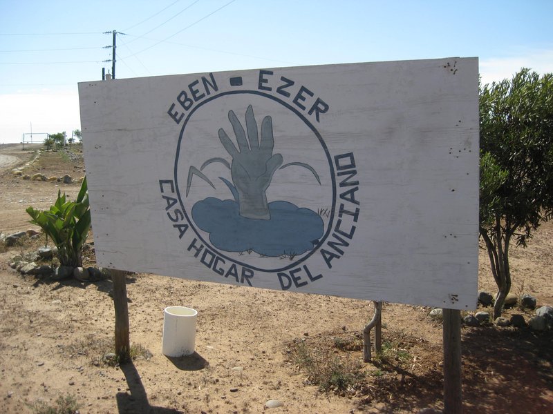
Sign along the road. Jesus also wrote out the name: Grupo Vision y Cambios VIVIENDO PARA SERVIR, SAN Jacinto
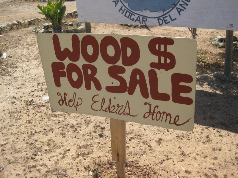
Note the English message.
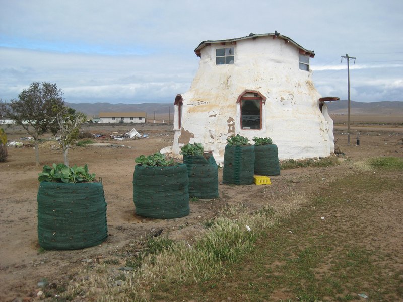
I found the raised gardens interesting!
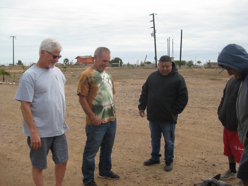
This is Phil, Ed, and Juan (who is the pastor in charge here). They are distracted by a dog.
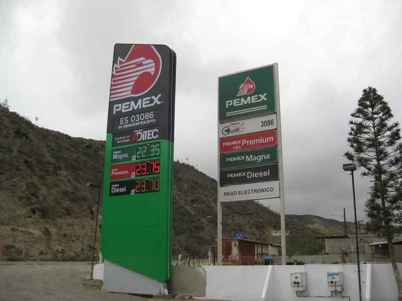
New sign and other changes at the Baja Cactus Pemex in El Rosario.
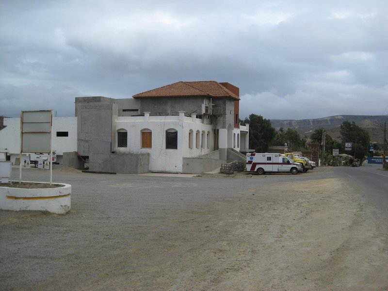
Looking next door at the new Baja Cactus Restaurant/ Coffee shop/ Spa/ Event hall (under construction... on hold since Covid) located in front of the
motel. Parked in front is some of the emergency rescue and fire department 'Halcones del Desierto' that our very own Nomad, 'BajaCactus' (Antonio) has
brought to El Rosario, with trained EMTs. Please use Antonio's businesses or donate to help him help any of us in need.
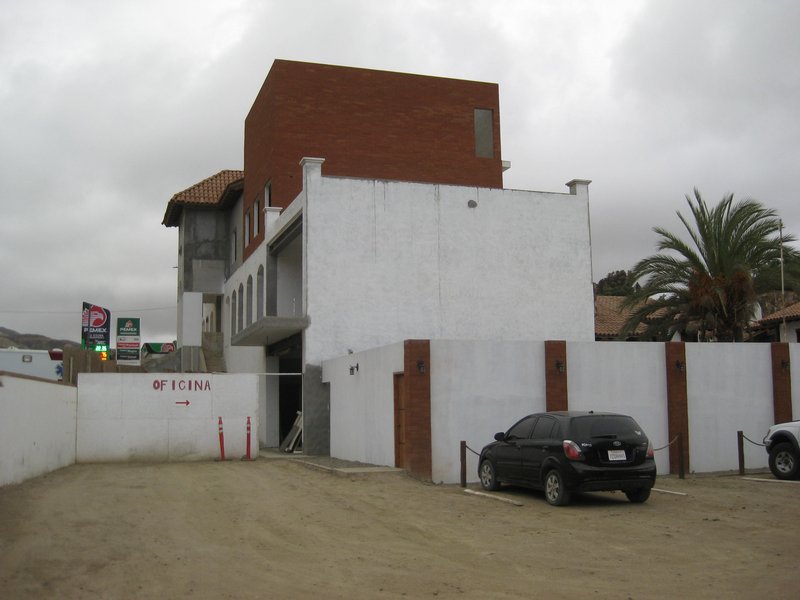
It is a little rough getting to the office as you squeeze between the new building and the old rooms (which will be removed, eventually). You can also
access your rooms from the wider side at the other end of the parking lot.
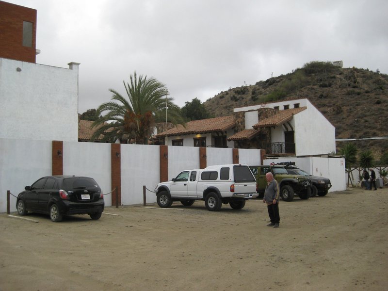
Big parking lot for Baja Cactus. Jim McCoy lands his helicopter here during Cameron's tours!
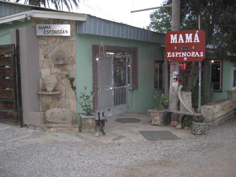
Next door to Baja Cactus where we enjoy excellent dinner and breakfast the next morning. Things have changed and prices were reasonable... Had great
crab-stuffed chili rellenos for dinner and pancakes for breakfast.
TOMORROW... MISSION SANTA MARIA!
[Edited on 4-5-2022 by David K]
|
|
|
David K
Honored Nomad
        
Posts: 65434
Registered: 8-30-2002
Location: San Diego County
Member Is Offline
Mood: Have Baja Fever
|
|
GPS for the Grandpa's: 30°53'10.5"N 116°07'24.9"W
|
|
|
TMW
Select Nomad
      
Posts: 10659
Registered: 9-1-2003
Location: Bakersfield, CA
Member Is Offline
|
|
Thanks David. Yes we all had a great time at the grandpas and at Baja Cactus. The adventure started the next day.
|
|
|
David K
Honored Nomad
        
Posts: 65434
Registered: 8-30-2002
Location: San Diego County
Member Is Offline
Mood: Have Baja Fever
|
|
A few more from Day 1, Baja Cactus:
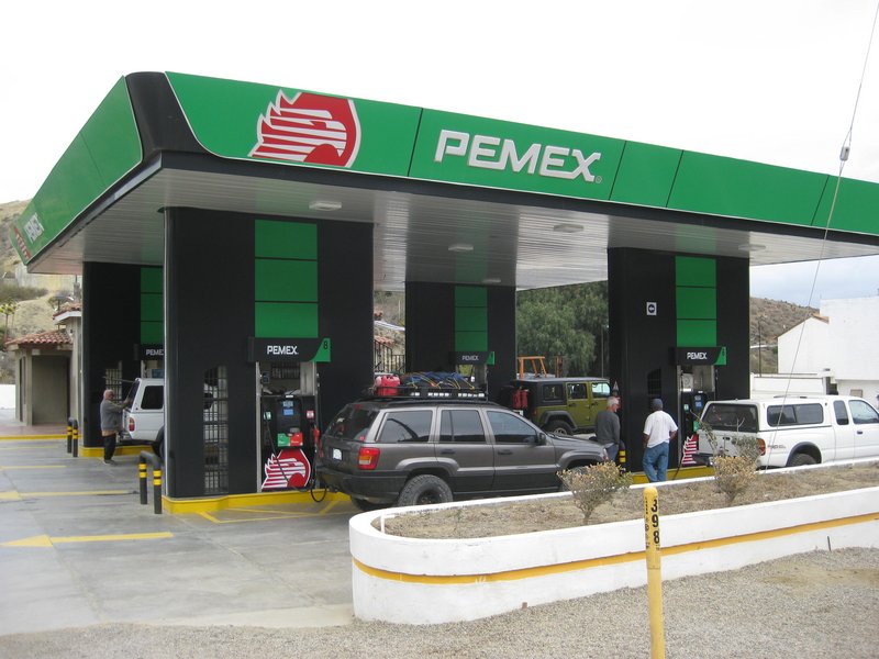
Our four vehicles getting fueled up in El Rosario.
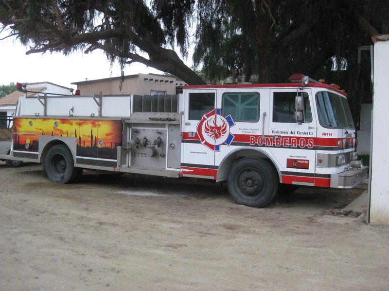
Halcones del Desierto or Desert Hawks (established by a Baja Nomad, Antonio Muñoz 'BajaCactus').
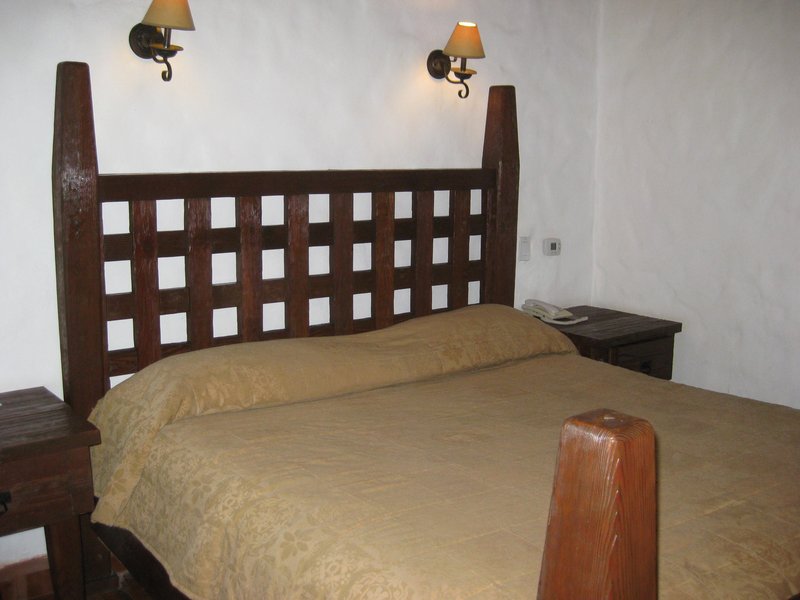
All motel beds are kings in the new rooms.
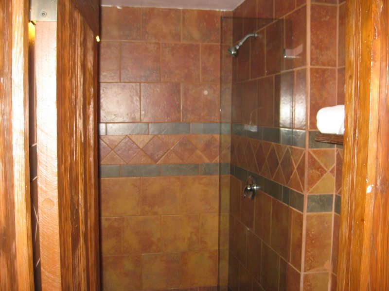
Huge showers. The pressure booster was not on, so the water came out slower than typical.
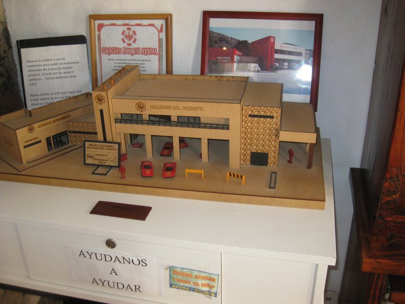
The model of the future fire station, to be built on the lot across from the Pemex station. Just need more funds! I donated a few of my books that
they sell in the motel lobby along with other items to raise money. See their Facebook page for a PayPal link to donate (very top of page). https://www.facebook.com/HalconesdelDesierto
|
|
|
David K
Honored Nomad
        
Posts: 65434
Registered: 8-30-2002
Location: San Diego County
Member Is Offline
Mood: Have Baja Fever
|
|
DAY 2 (part 1: El Rosario to the Peninsular Divide, 4.3 miles from the mission)
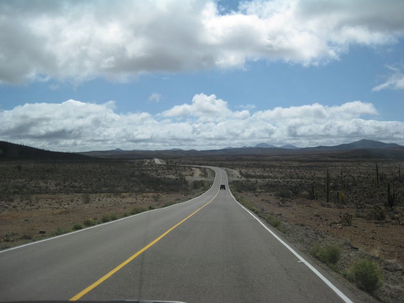
Mex. 1

TW's Tacoma at Santa Ynez
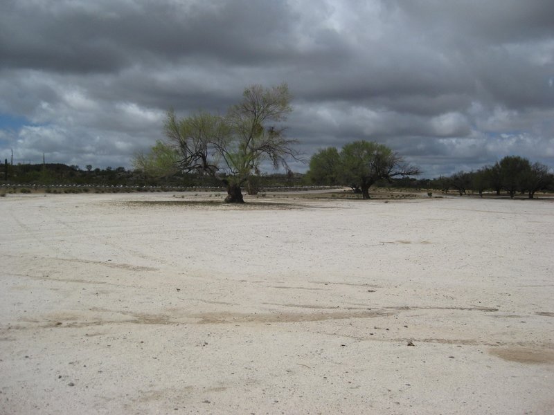
Santa Ynez campground
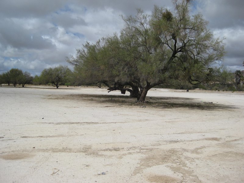
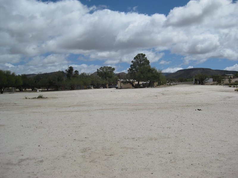
Rancho Santa Ynez (Inez, Inés)
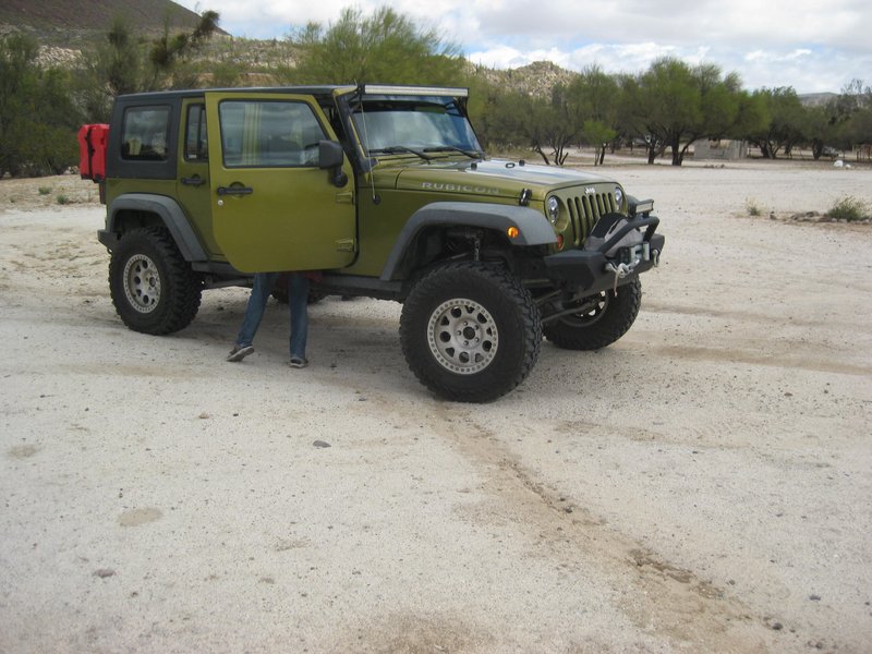
Debbie's Jeep
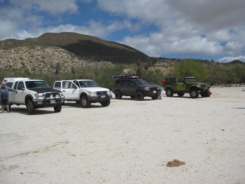
The four rigs and TW is next to his.
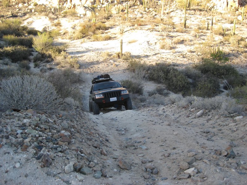
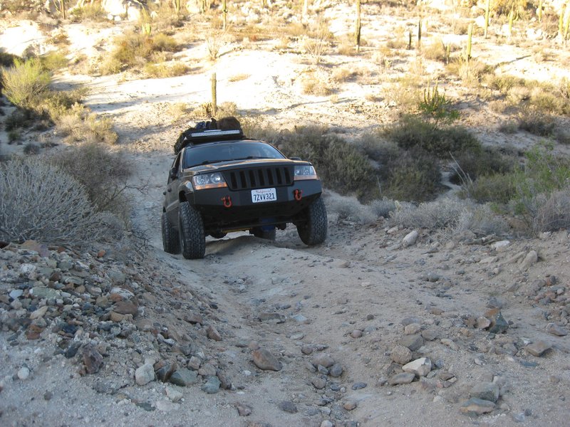
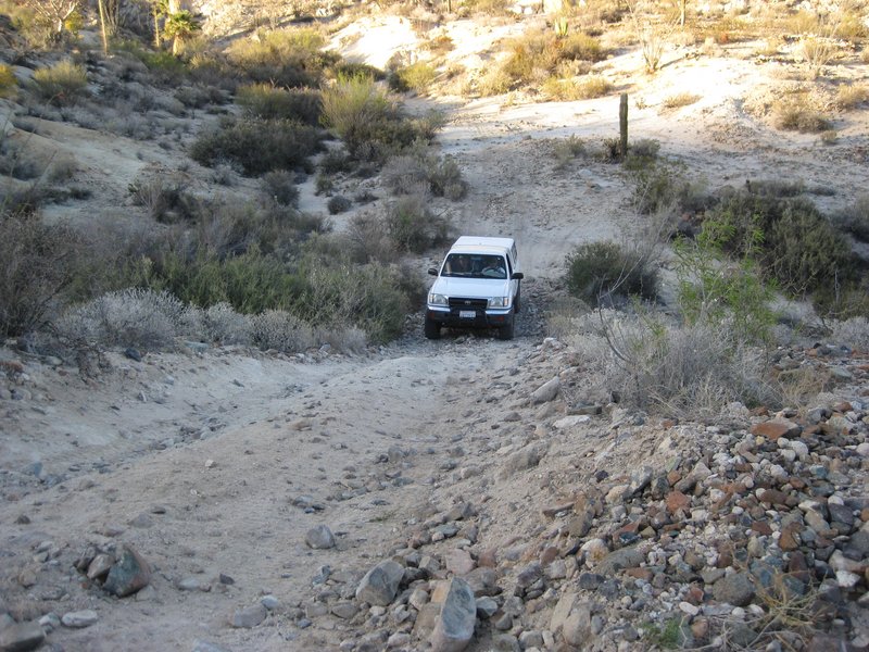
OK, so we knew that the newer route stayed in the arroyo and avoided 4 rough miles, including the big gully (2 miles from the ranch). Inadvertently,
we drove into the corral area above the wash and then drove back to the old route, up on the mesa. We should have turned right, in the wash, as soon
as we left the corral area. On the return we did the wash route!
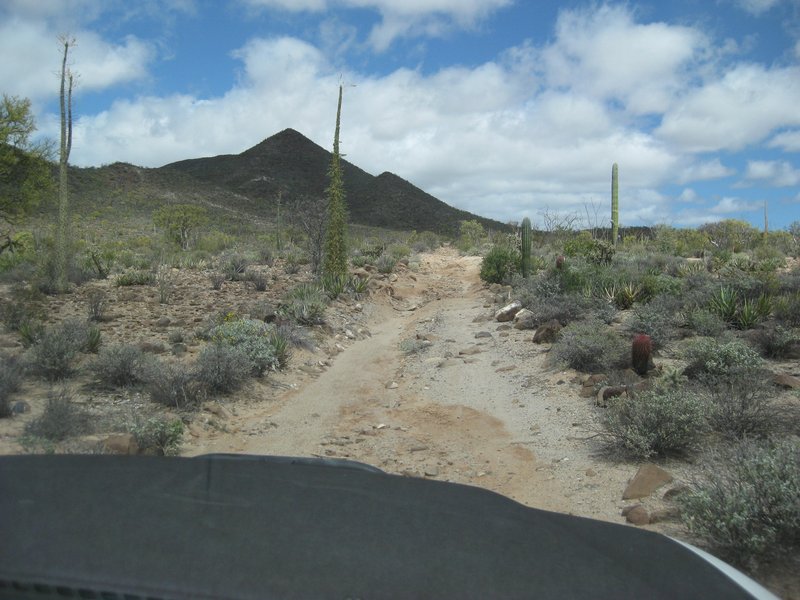
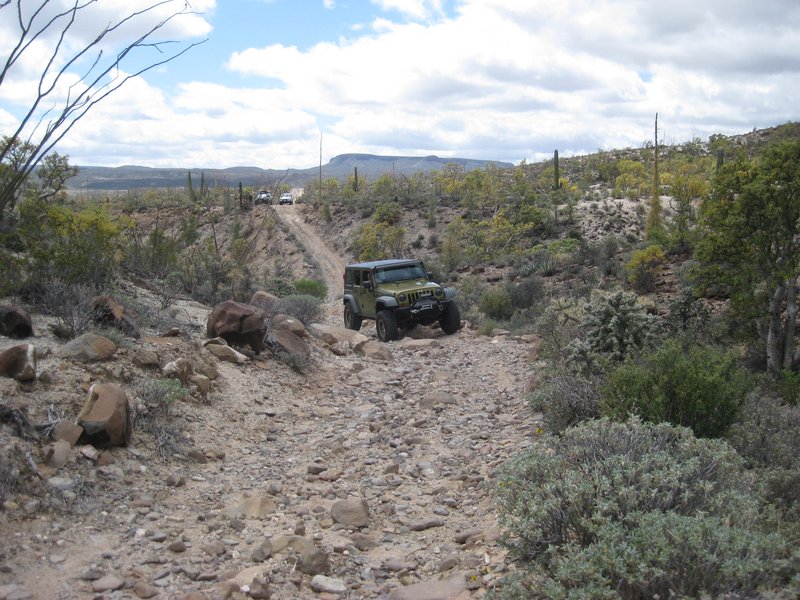

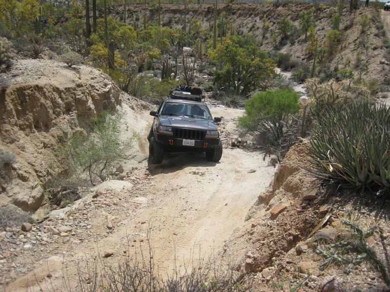

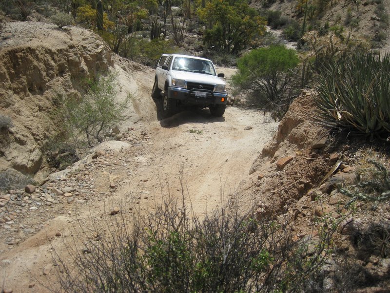

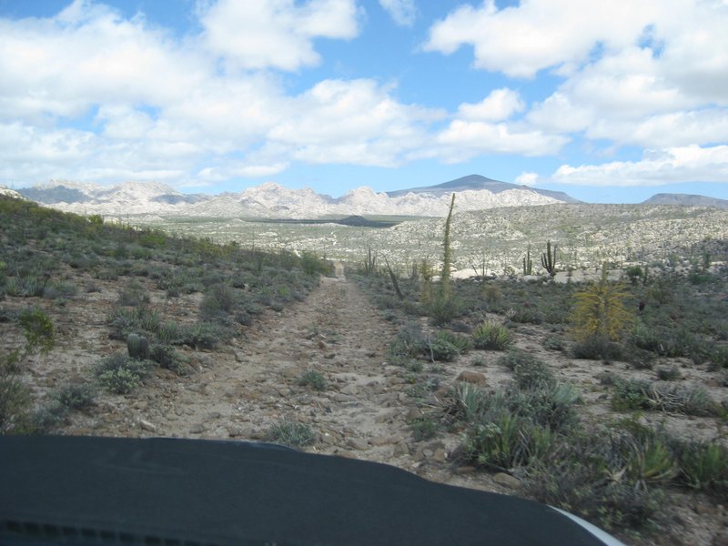
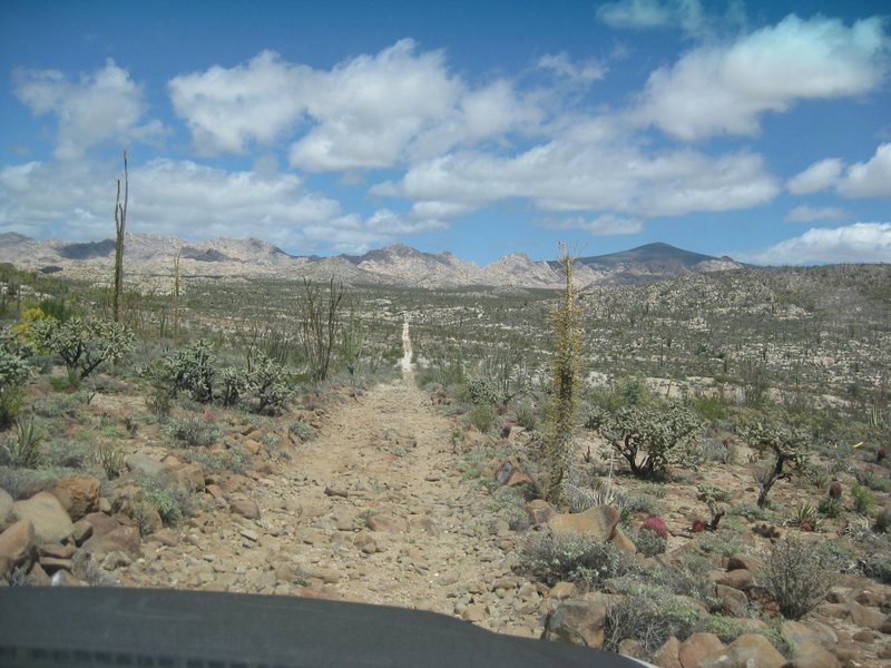

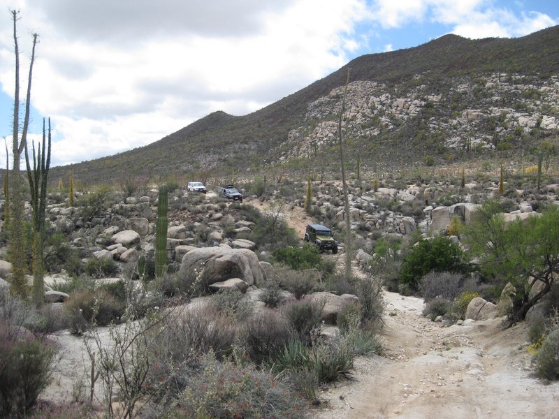
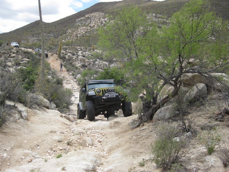
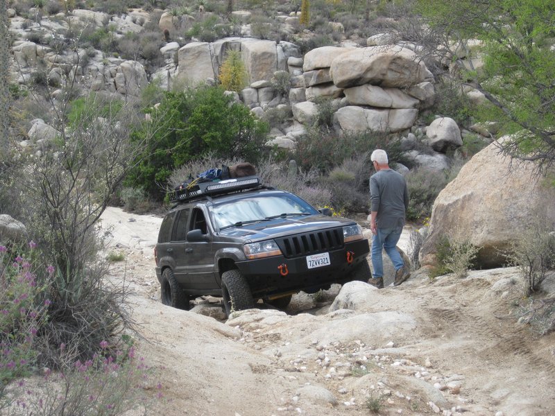
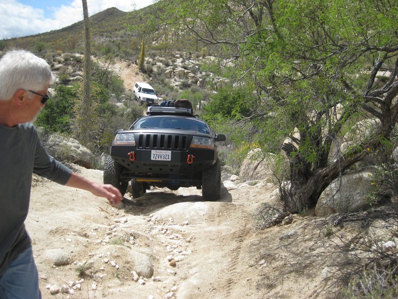
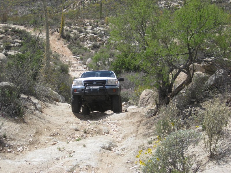
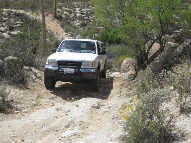
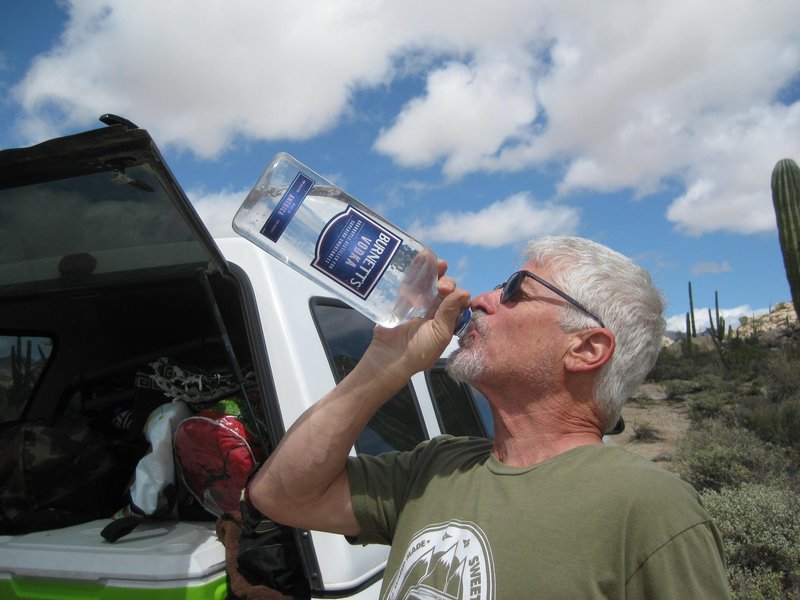
All the spotting work is driving Phil to drink!
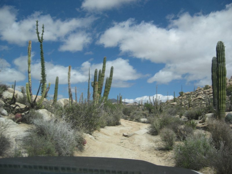
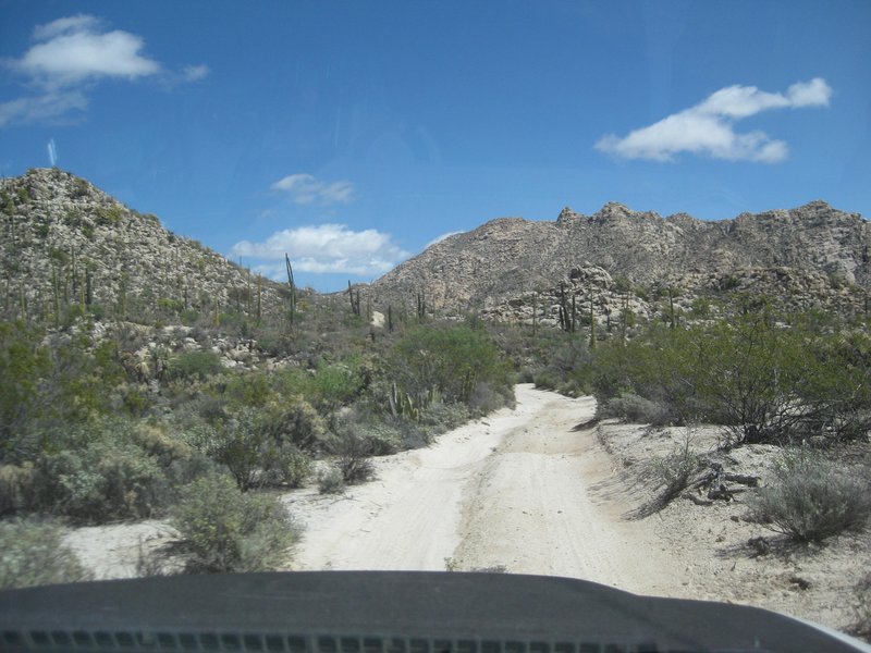
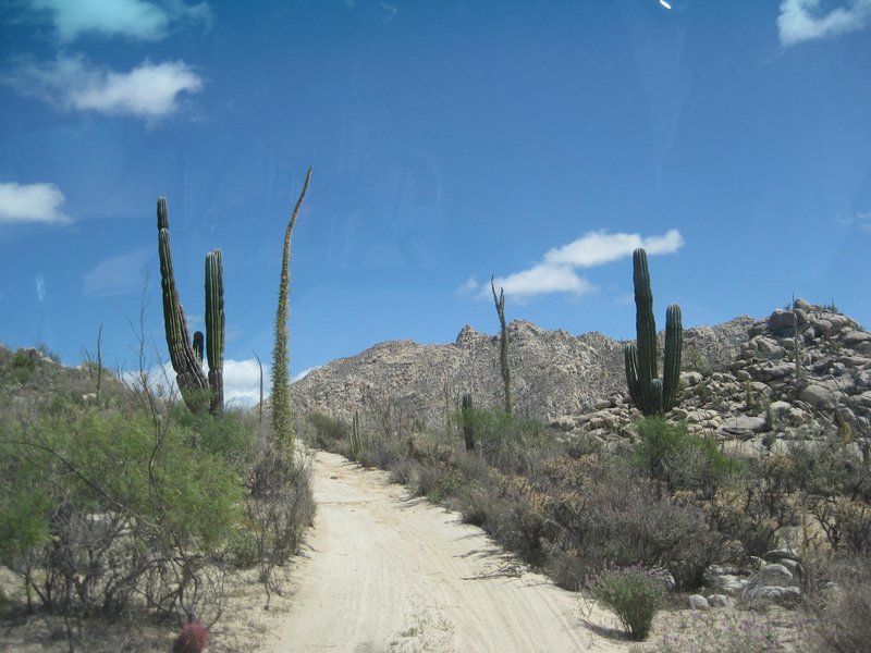
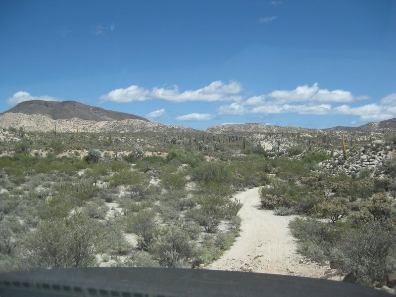
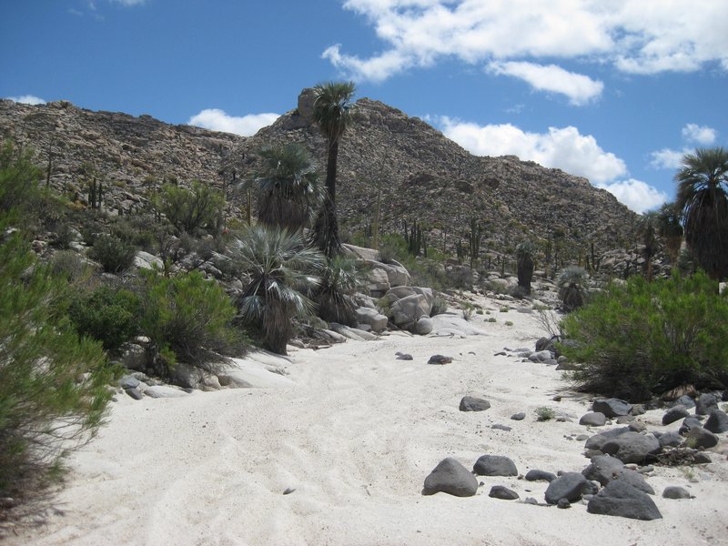
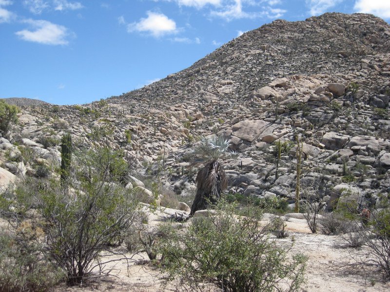
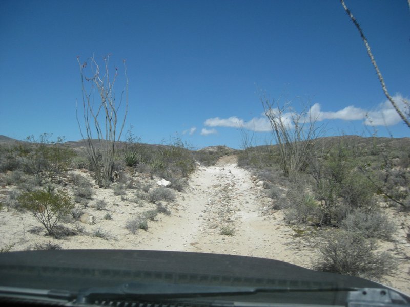
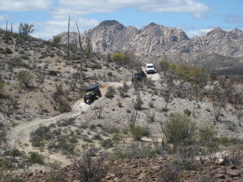
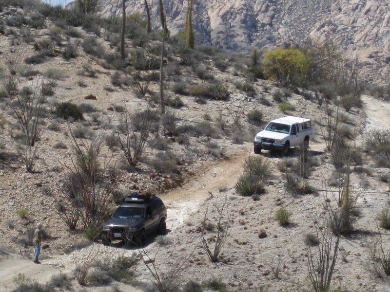
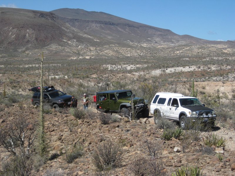
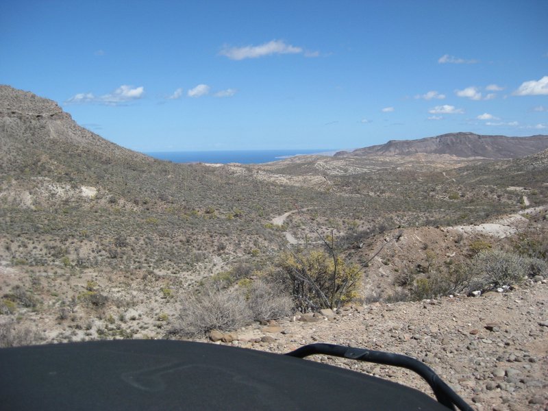
The peninsular divide is about 10 miles from Santa Ynez and 4.3 miles from the mission.
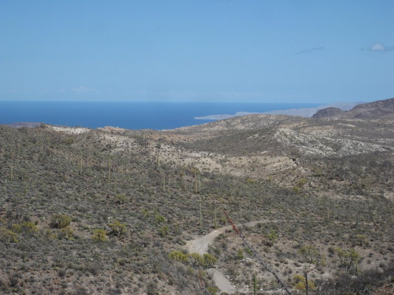
That is Punta Final (south end of 'Gonzaga Bay')
|
|
|
David K
Honored Nomad
        
Posts: 65434
Registered: 8-30-2002
Location: San Diego County
Member Is Offline
Mood: Have Baja Fever
|
|
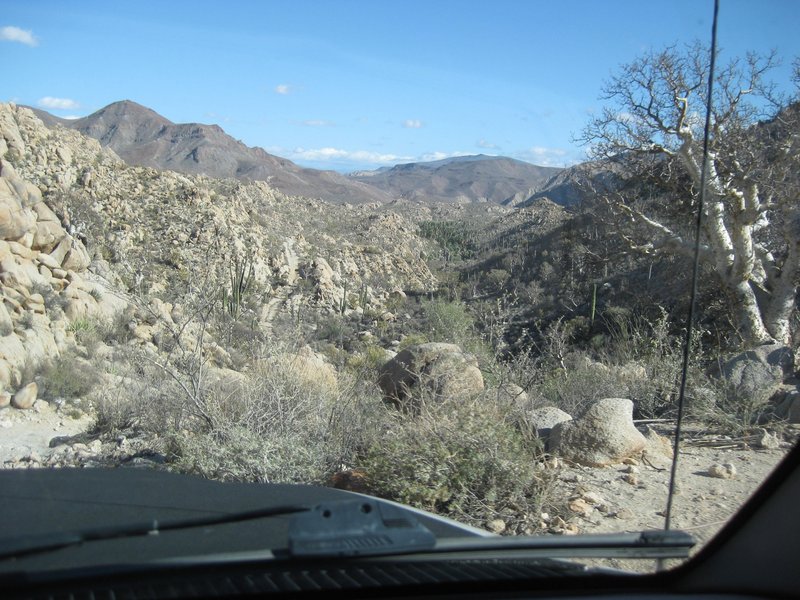
DAY 2 (part 2: Peninsular Divide down to the Widowmaker)
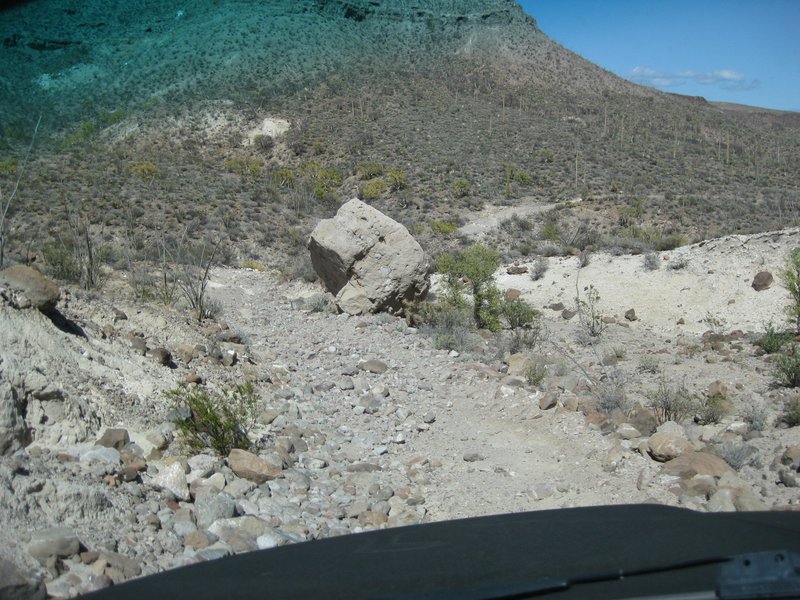
Big boulder next to the road, down from the divide.
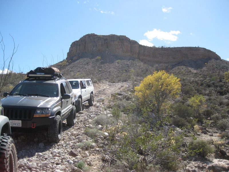
View back up towards the divide.
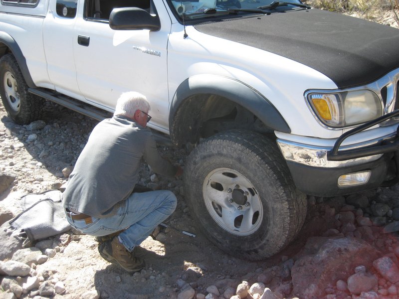
TW's tire rips its sidewall, and young Phil helps us get the spare put on. TW's rear shock mount also had snapped off earlier... It was previously
re-welded. Perhaps there is an issue with the shock travel length? The Jeep Rubicon also lost a shock mount nut and was loose, causing a rattle.
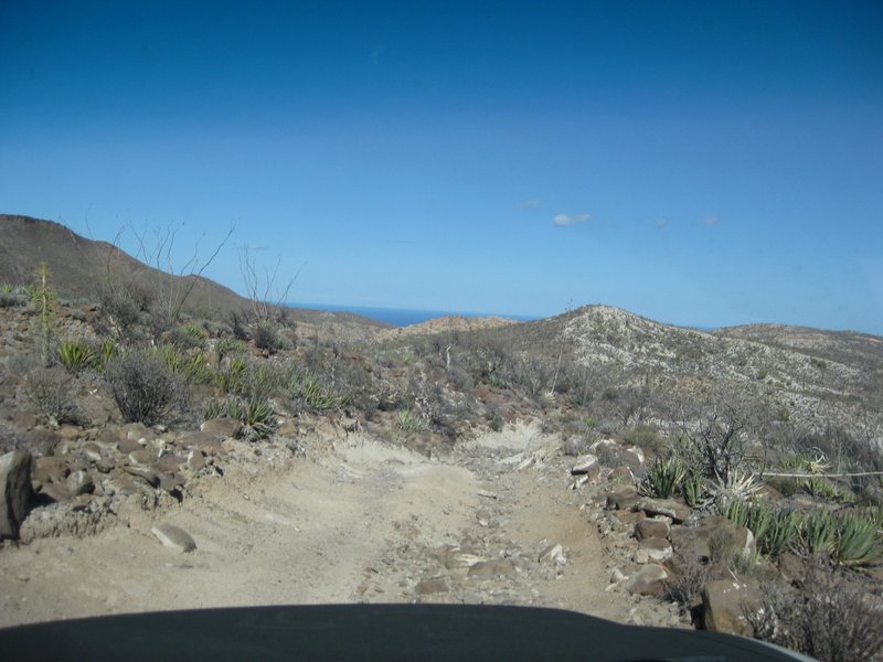
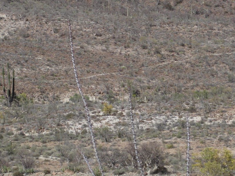
See that trail to the north of the road? It is the Antelope Spring Trail that we also call the 'Cargo Trail' which Junípero Serra ordered to be built
as a supply line for the future missions of San Fernando to San Diego. It begins at the warehouse on Gonzaga Bay and meets El Camino Real near the
bottom of the divide grade. The new Baja Atlas from Benchmark shows it as well as the rest of the mission road from Loreto to El Rosario.
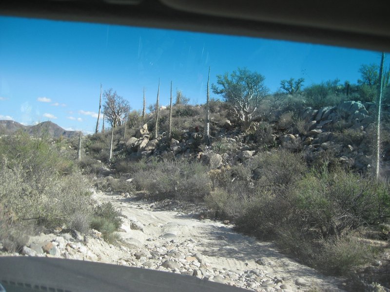
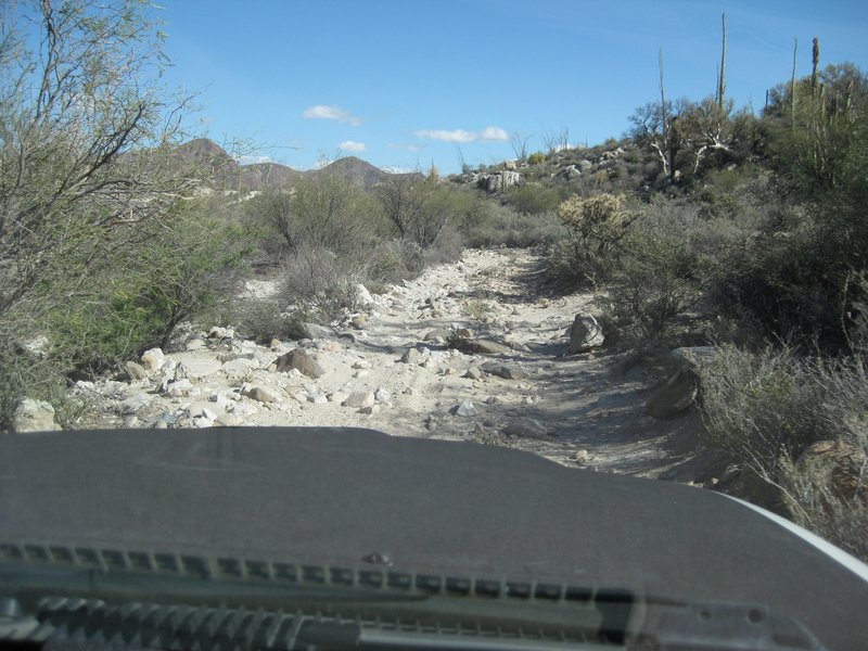
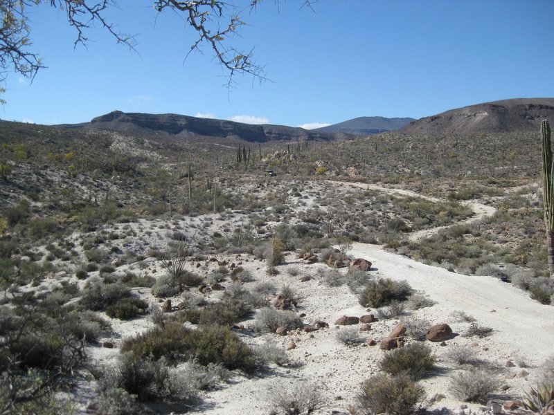
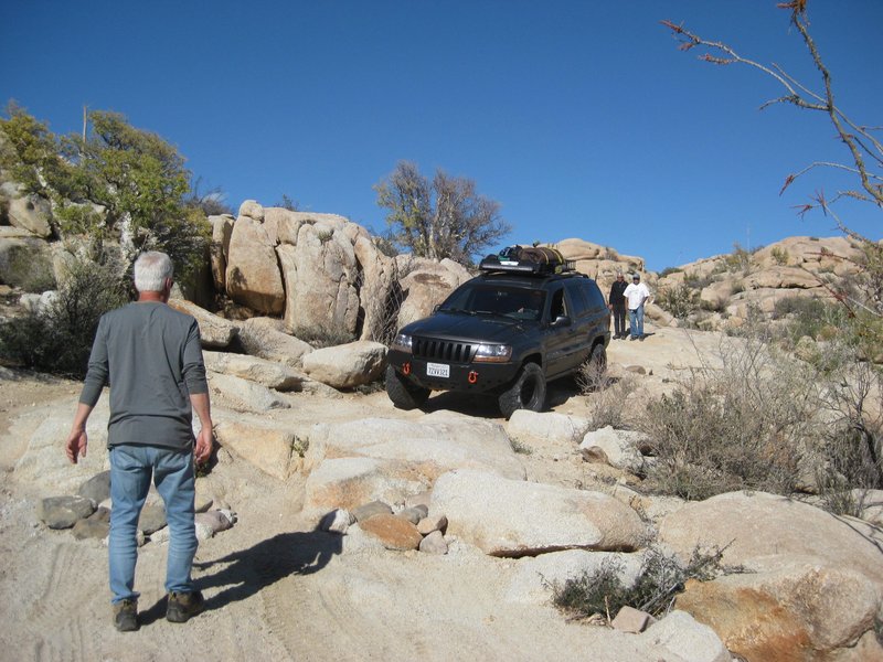
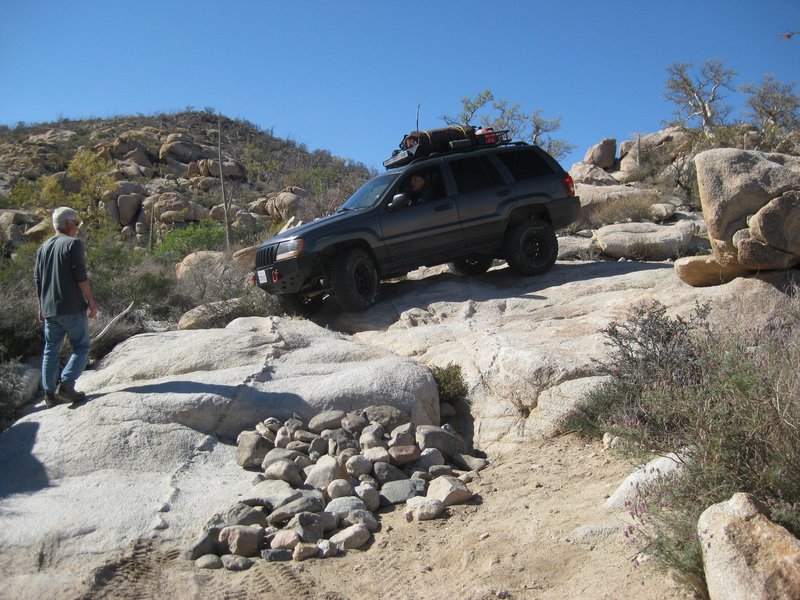
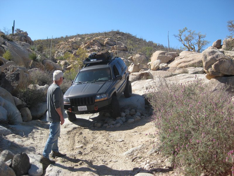
Phil spots the Cherokee, driven by Ed.
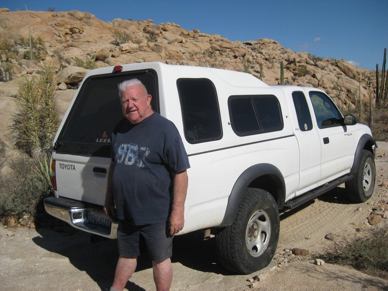
TW, pilot of the '04 Tacoma.
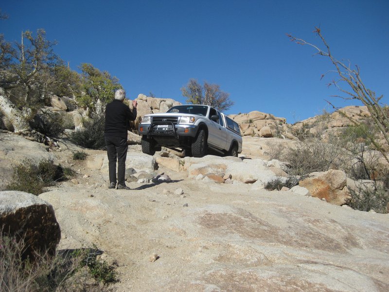
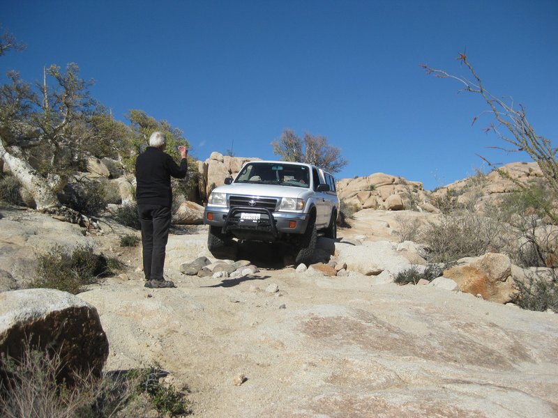
Ken spots the Tacoma driven by Rudy.
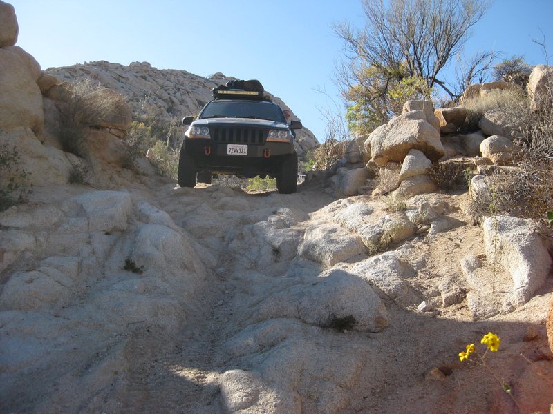
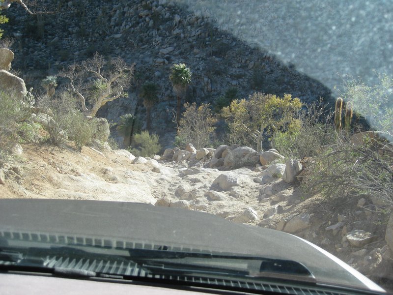
Here are three shots from inside TW's Tacoma as we come down the Widowmaker, a cliff-like rocky grade. I named it in 1999 after Baja Mur and I were
tossed onto the rocks, leaving our blood upon them. I was on a quad and Mur was on a motorcycle. It inspired me to make my very first web page: https://vivabaja.com/missionsm/
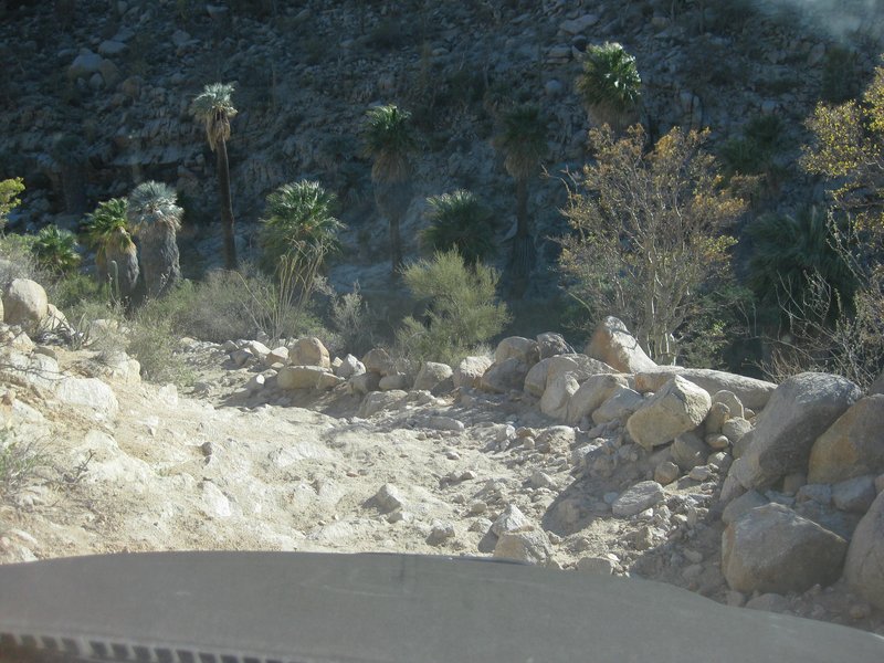
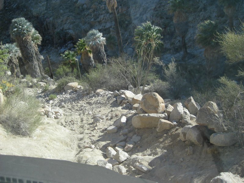
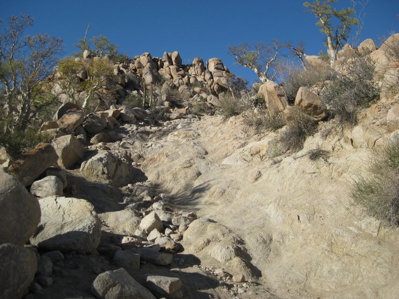
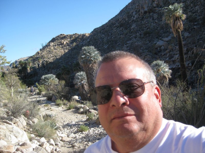
Selfie at the bottom of the Widowmaker.
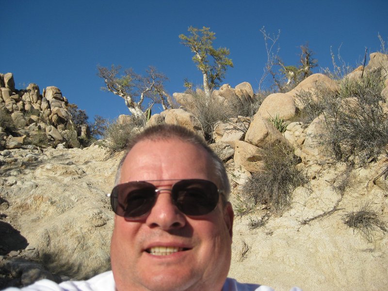
Selfie looking up the Widowmaker.
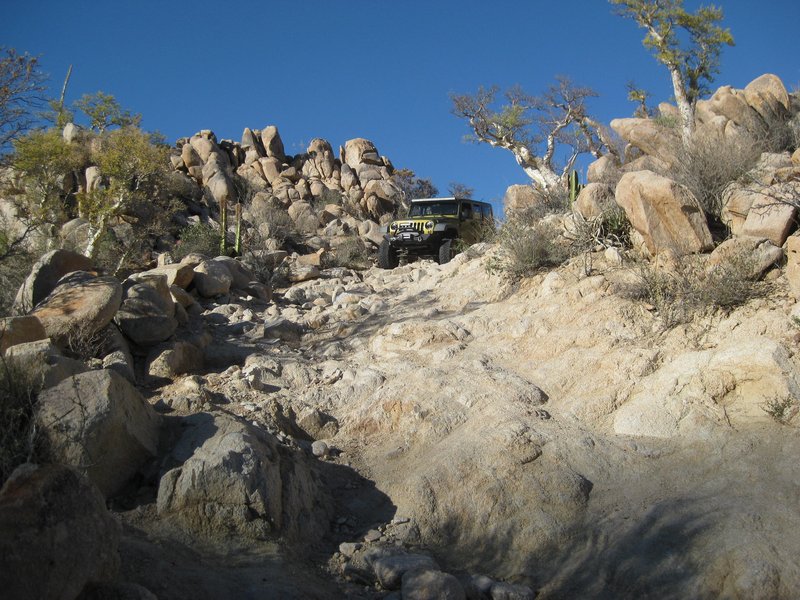
Debbie's Rubicon begins to come down the Widowmaker.
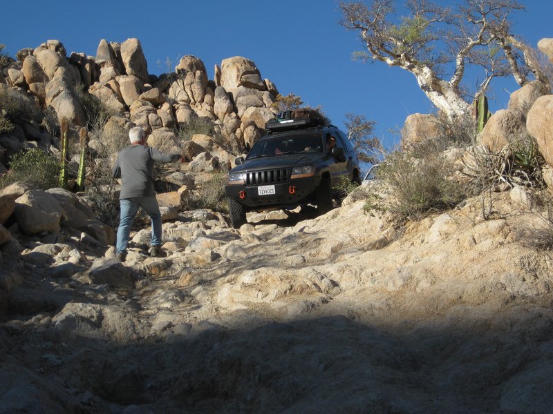
Phil spots the Cherokee as it begins to come down the Widowmaker.
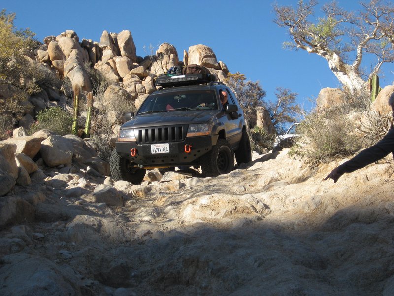
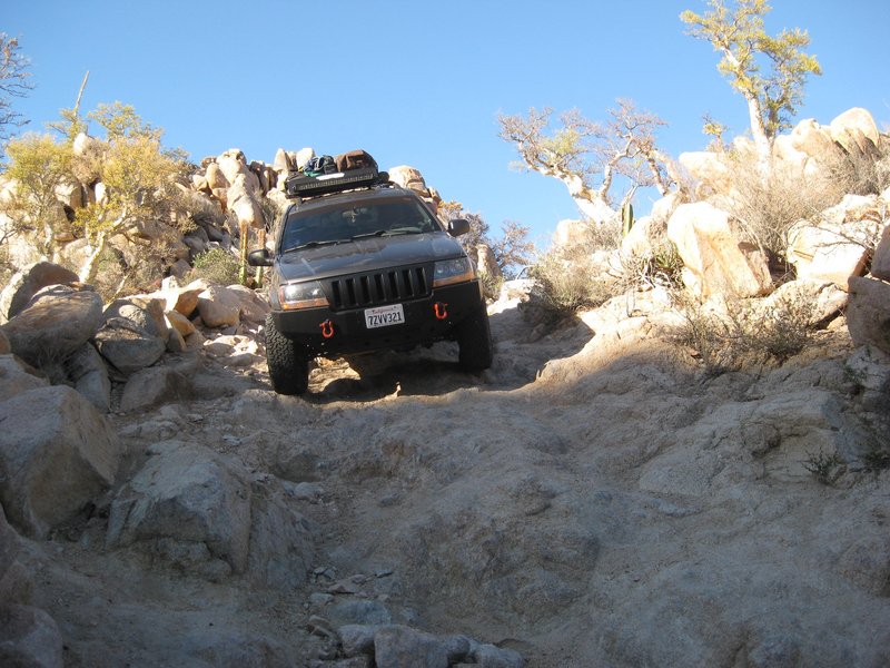
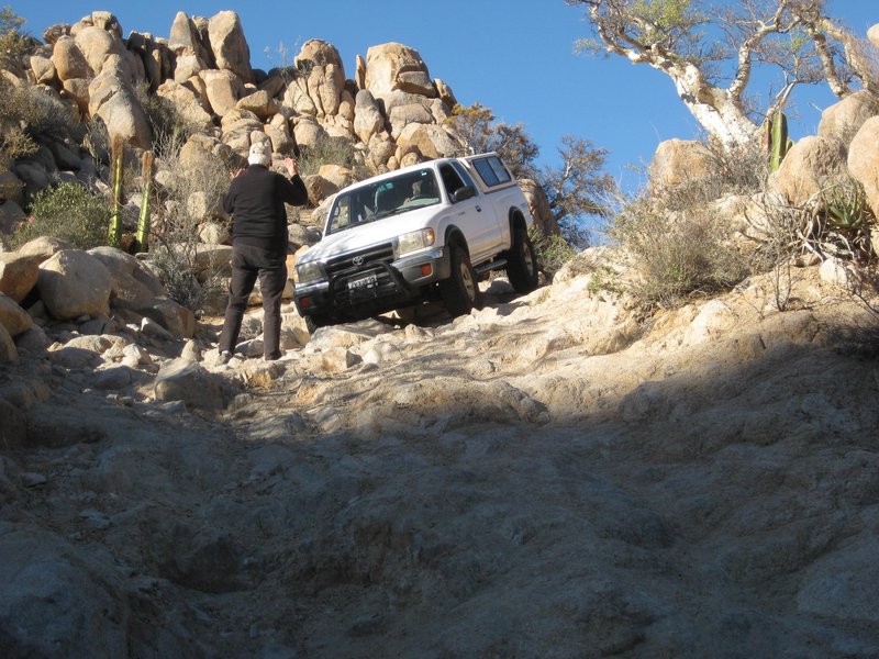
Ken spots Rudy at the top of the Widowmaker.
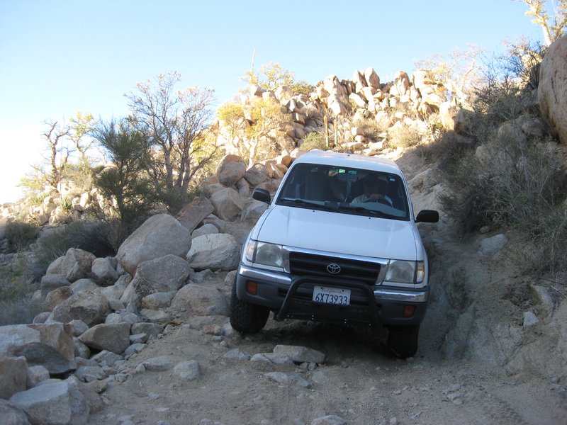
Rudy reaches the bottom of the Widowmaker.
[Edited on 4-2-2022 by David K]
|
|
|
David K
Honored Nomad
        
Posts: 65434
Registered: 8-30-2002
Location: San Diego County
Member Is Offline
Mood: Have Baja Fever
|
|
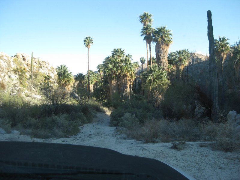
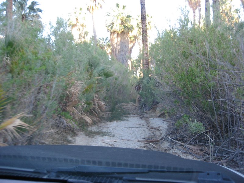
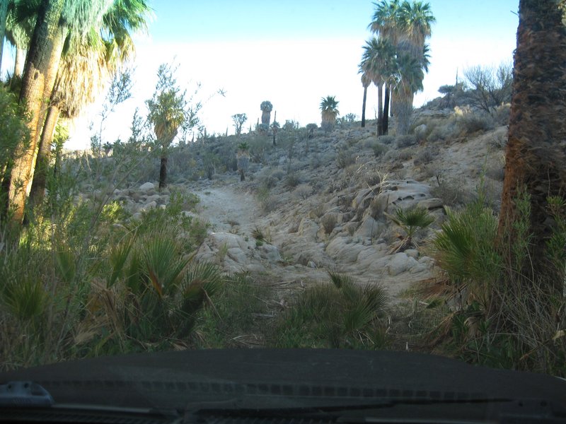
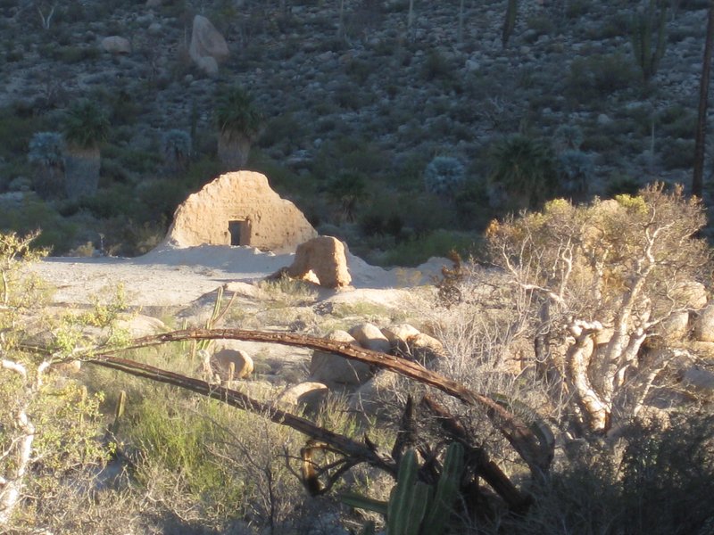
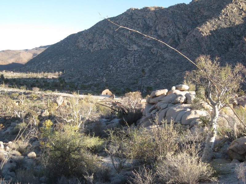
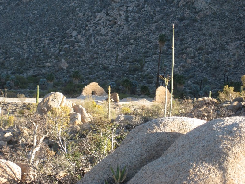
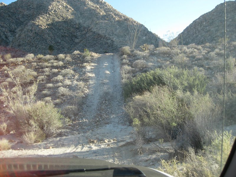
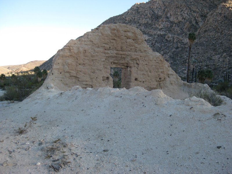
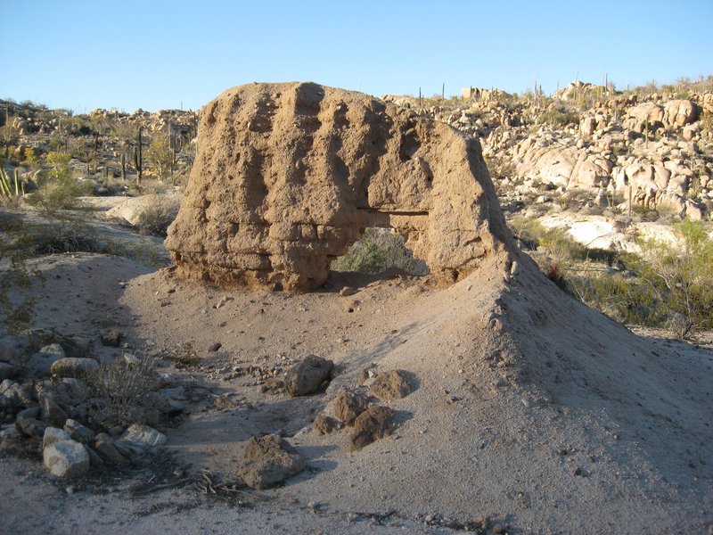
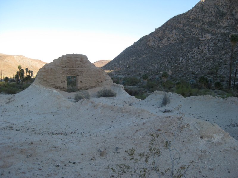
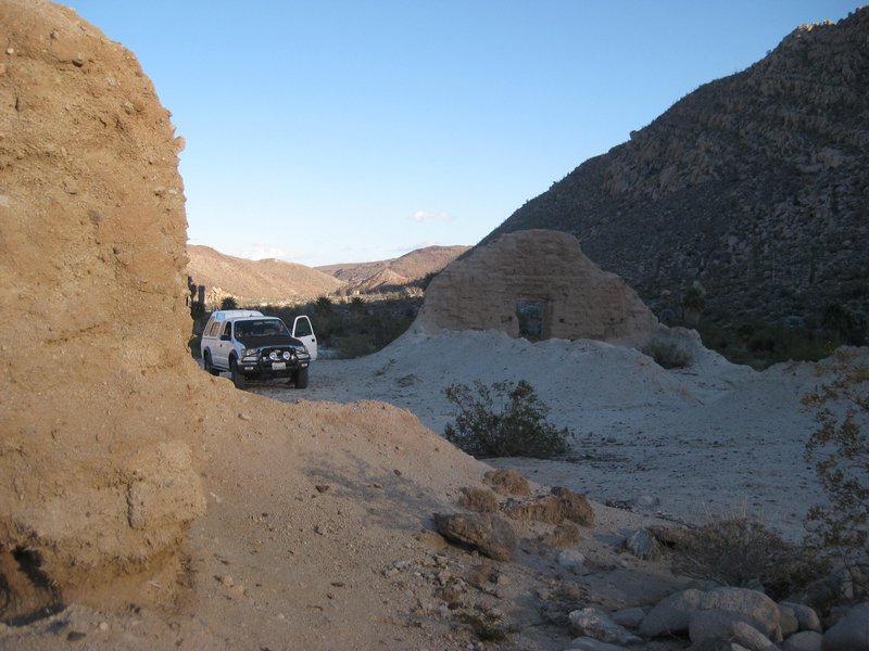
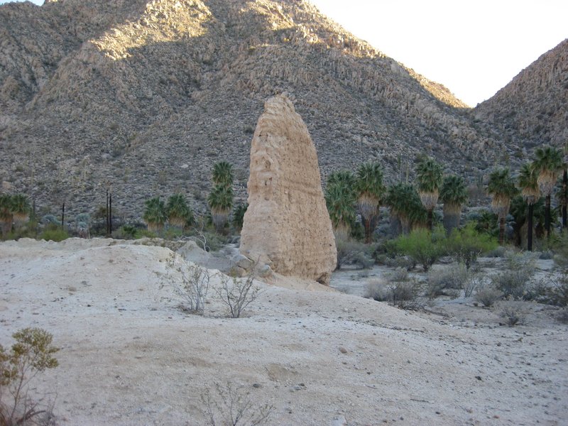
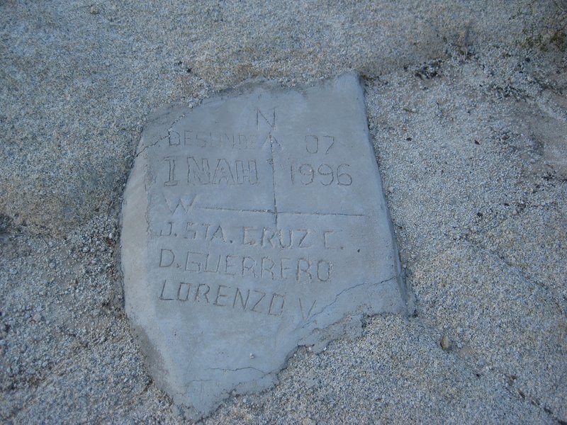
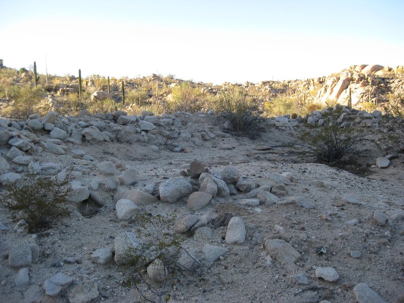
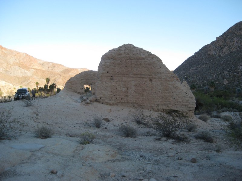
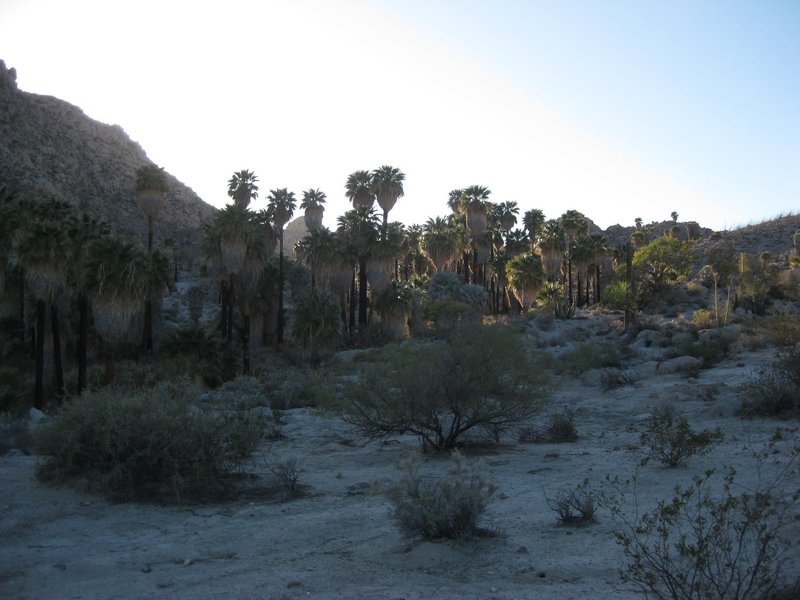
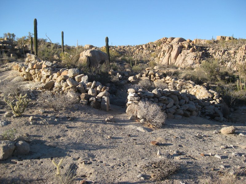
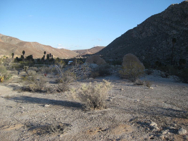
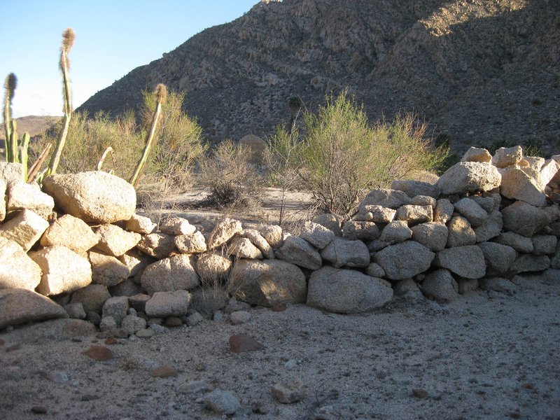
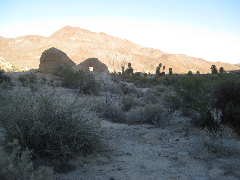
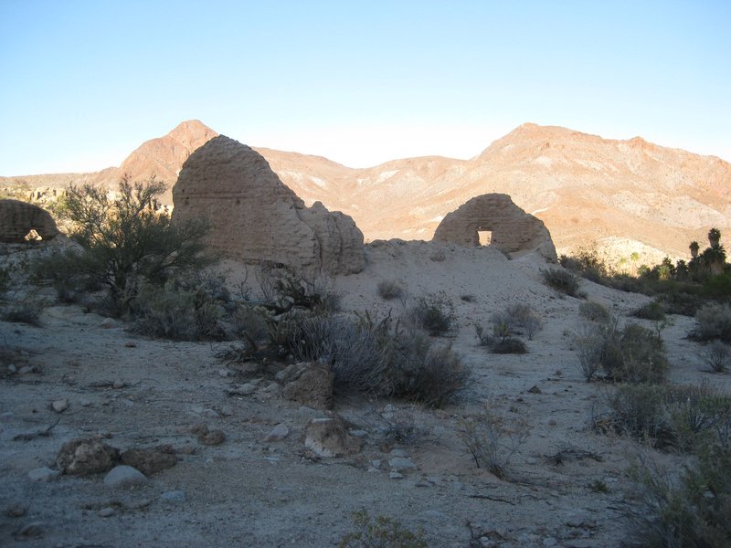
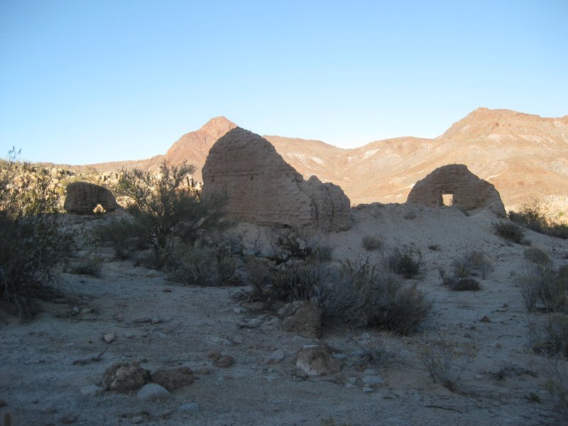
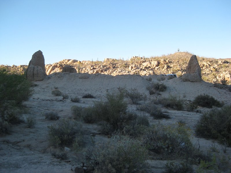
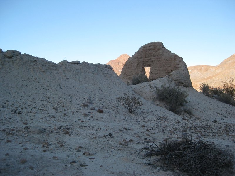
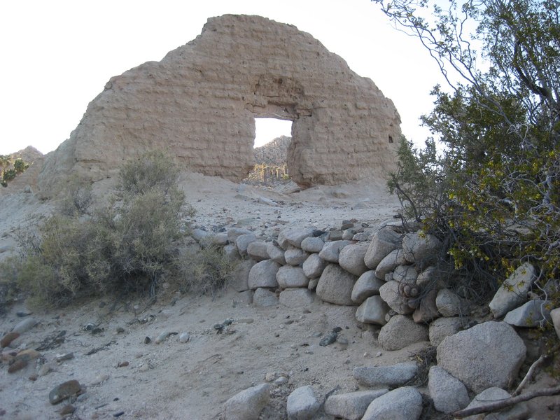
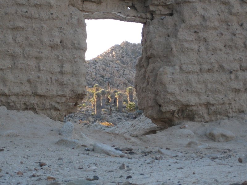
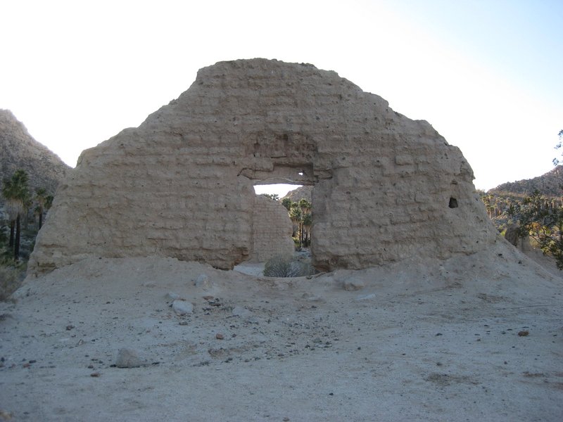
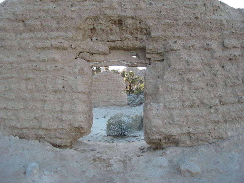
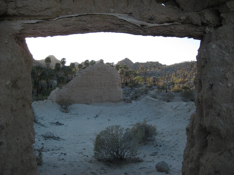
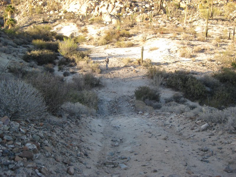
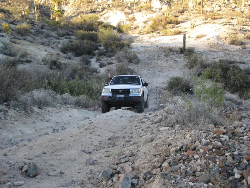
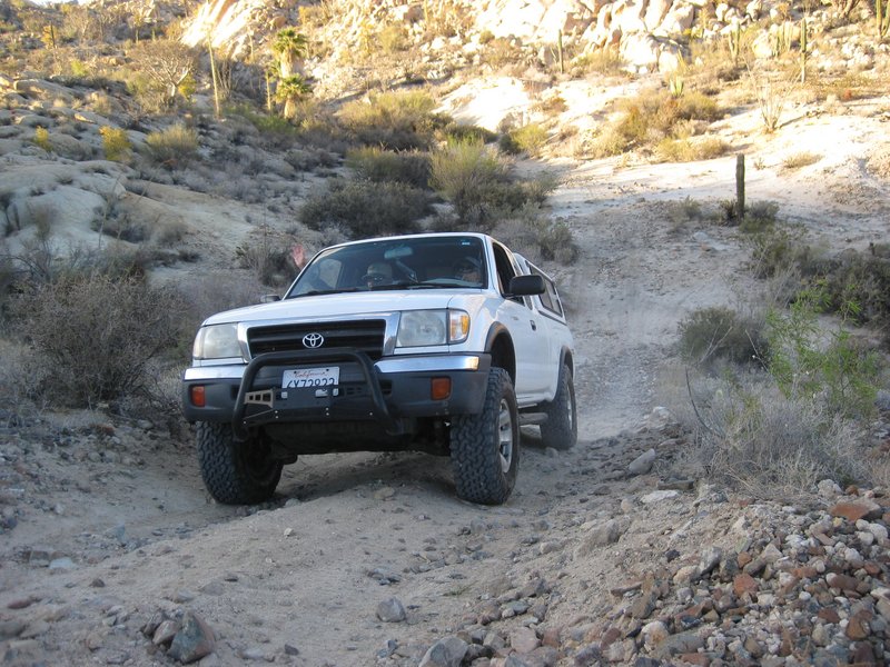
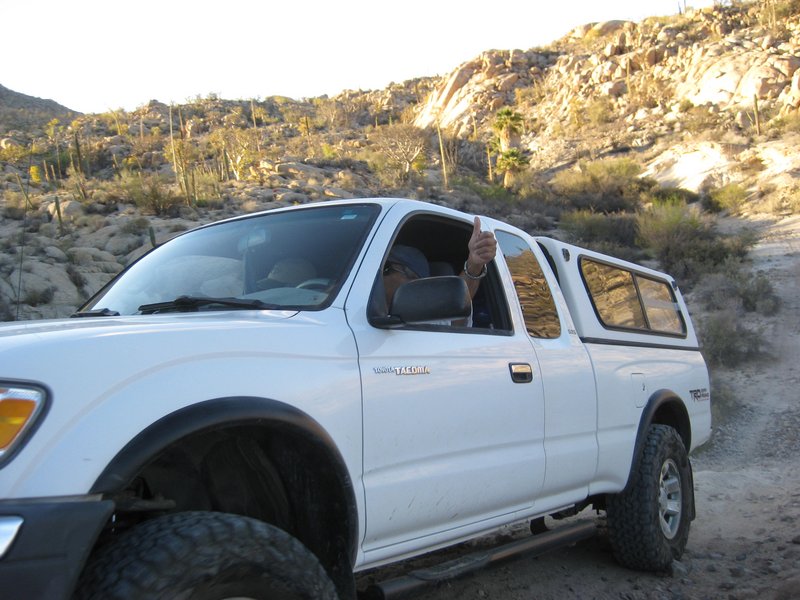
Through the Bog, to the mission, and our camp, nearby.
The first good news, unlike my last time here (with water up to 2 feet deep), the bog was now dry!
When we finally reached the mission, 6 hours and 14.3 miles since leaving Santa Ynez, the sun had just gone behind the mountain. I took a bunch of
photos at the mission while the others trickled in. The next morning I would take photos of it in the morning sun.
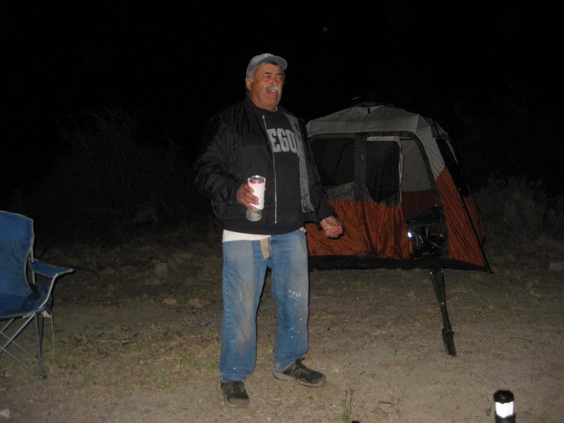
We set up camp down in the palm oasis, just a few hundred feet from the mission, where others have, before. A great Cajun dinner was prepared by Phil
(Owner and chef at Bon Temps Creole Café, in San Luis Obispo). Around the campfire, Rudy told us the Bunda story. [I may get in trouble, since they
say "what happens at Mission Santa María, stays at Mission Santa María"!]

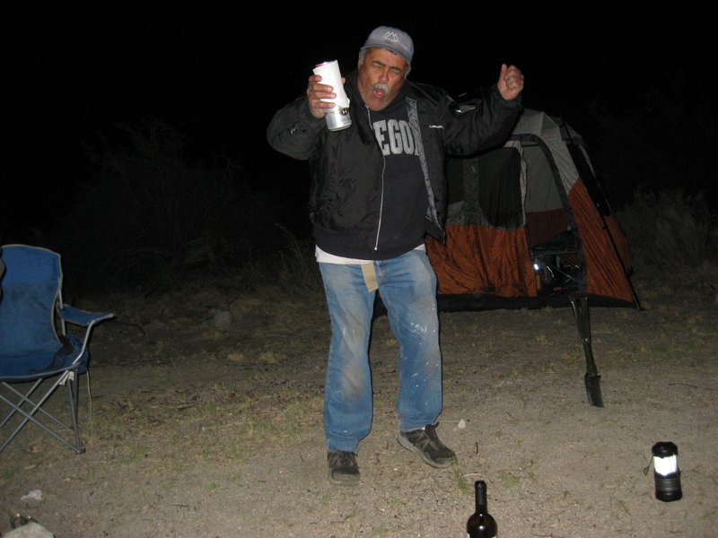
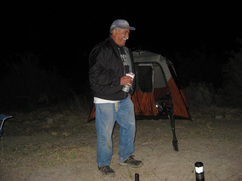
|
|
|
David K
Honored Nomad
        
Posts: 65434
Registered: 8-30-2002
Location: San Diego County
Member Is Offline
Mood: Have Baja Fever
|
|
To show you the area around the mission:
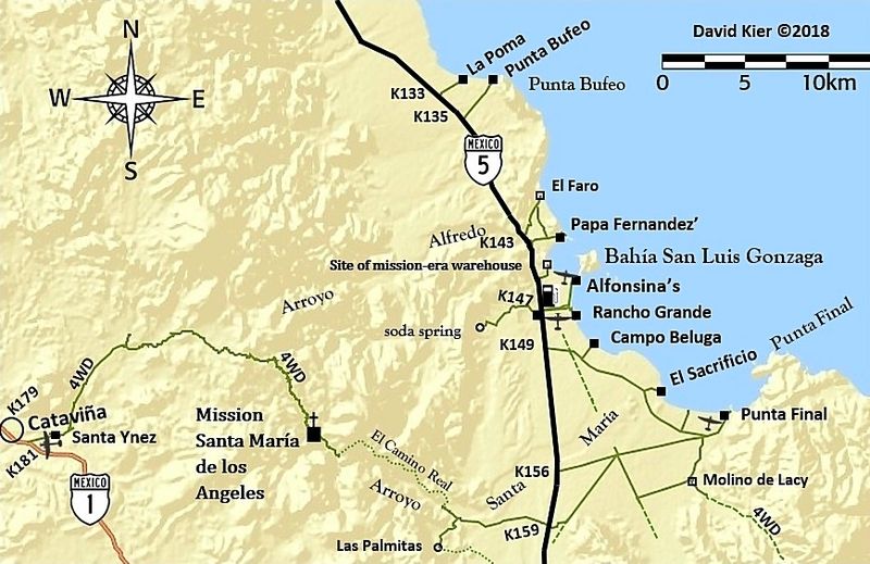
Day 3 is next!
|
|
|
bajatrailrider
Ultra Nomad
    
Posts: 2520
Registered: 1-24-2015
Location: Mexico
Member Is Offline
Mood: Happy
|
|
great job reporting David thank you
|
|
|
David K
Honored Nomad
        
Posts: 65434
Registered: 8-30-2002
Location: San Diego County
Member Is Offline
Mood: Have Baja Fever
|
|
My pleasure!
Notable this trip (my 5th time to the mission) is how much worse the road is from washed away or spun away dirt, leaving deep gullies and steep steps
on the several other places besides the Widowmaker, too. We all agreed that the Widowmaker is no longer the toughest part. The nice part of this trip
is that the Bog was dry... maybe one muddy spot, is all.
Day 3 photos are coming... driving out, the Cherokee (without lockers ot traction controls) had an issue that required road building.
|
|
|
David K
Honored Nomad
        
Posts: 65434
Registered: 8-30-2002
Location: San Diego County
Member Is Offline
Mood: Have Baja Fever
|
|
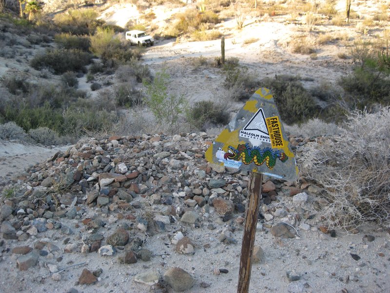
As I mentioned, earlier, we missed using the newer, arroyo route to the mission and ended back on the original, washed out, deep gully road.
Where the arroyo route returns to the original Fred Hampe road was easy to spot. On the return, we did not hesitate to use the newer route and it was
much better! The GPS where the new and old meet, about 4.3 miles from Santa Ynez/ 5.6 miles from the divide/ 10 miles from the mission/ or about here:
29°46.295', -114°39.648'. The newer, arroyo route is a litle bit longer drive to the mission but is well worth it to avoid the big gully and rest of
the 4+ mile rocky road.
I have made a GPS track but, alas, I don't know how to transmit the tracks from my Avenza/ Benchmark map app on my phone to my home PC or email???!!
|
|
|
ehall
Super Nomad
   
Posts: 1906
Registered: 3-29-2014
Location: Buckeye, Az
Member Is Offline
Mood: It's 5 o'clock somewhere
|
|
Great pictures. Looks like another fun adventure.
|
|
|
| Pages:
1
2
3
4
..
6 |

