| Pages:
1
2
3
4
5 |
blackwolfmt
Senior Nomad
  
Posts: 802
Registered: 1-18-2014
Location: On The Beach With A Blackwolf
Member Is Offline
Mood: dreamin of Riden out a hurricane in Baja
|
|
That friggen Cardon cacti is huge, grt pic DK
So understand dont waste your time always searching for those wasted years
face up and make your stand and realize that your living in the golden years
|
|
|
David K
Honored Nomad
        
Posts: 65411
Registered: 8-30-2002
Location: San Diego County
Member Is Offline
Mood: Have Baja Fever
|
|
DAY 7 of 7: Wed. March 8, 2017
It was just a week ago, but so many memories and these trip reports and photos preserve and share them.
I had a nice dinner with Antonio and Isela. We went to Ed's (Baja's Best B & B) to have some of his clam chowder, which is more shrimp than clams,
all the better. Back at Baja Cactus for a final night in El Rosario to sleep before the long drive home.
Wednesday morning, quickly loaded my truck drove next door to top the tank and then, the other side of the gas station past the water purification
place is El Popeye Car Wash. My truck had plenty of mud on it from the drive to San Juan de Dios. The arroyo crossings were dry but several deep water
pools on the road could not be avoided. I asked for only an exterior wash and they soon put me into the stall and got to work on it. The charge was so
low (80 pesos) I gave them a generous tip in appreciation for getting on the road quickly. Left El Rosario at 9:12 am.
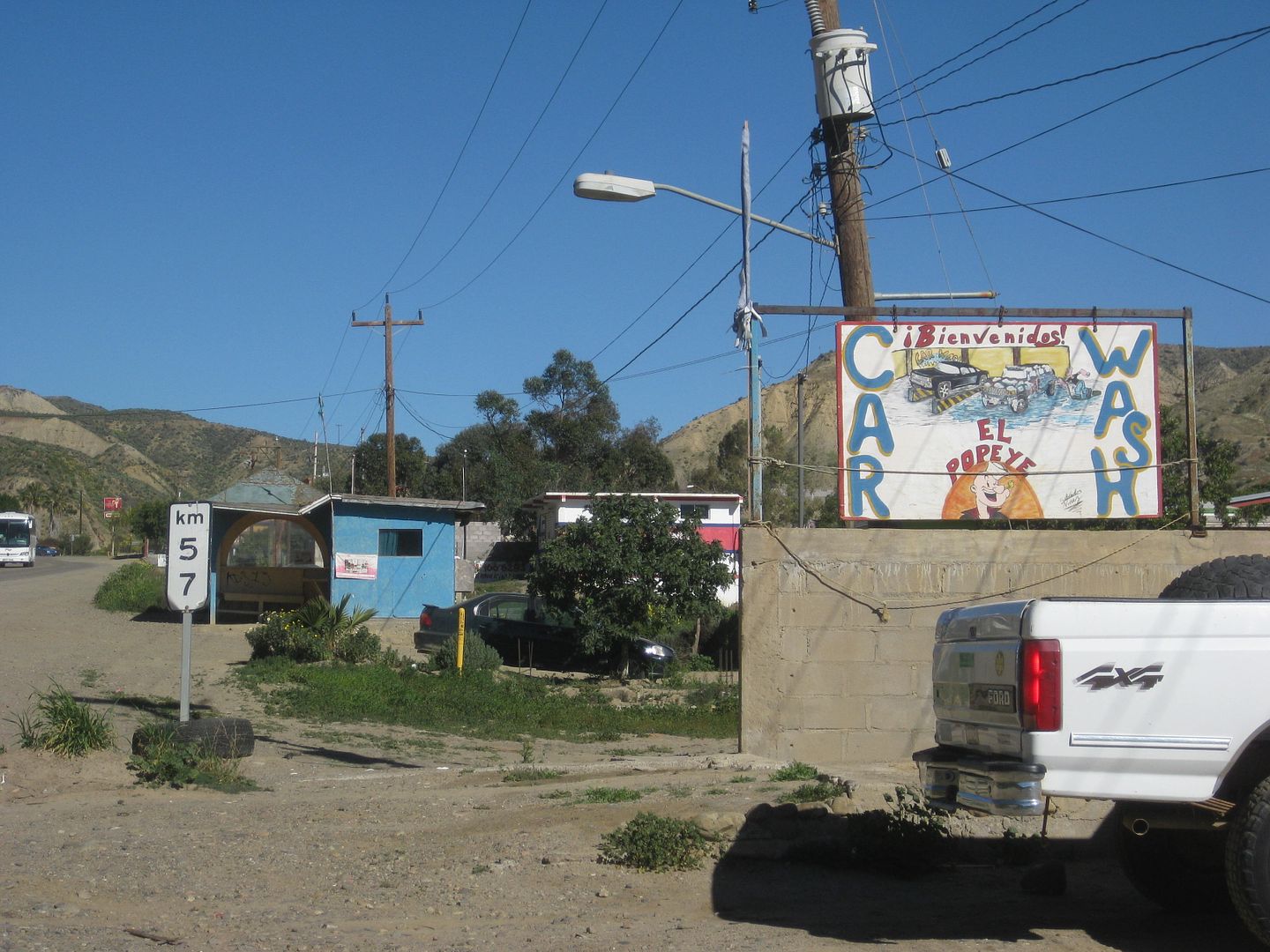
Car Wash 'El Popeye' at Km. 57, just a few hunderd feet north of the Pemex.
Now, with the outside so clean, I just didn't have it in me to get it covered with that dust on the road to La Lobera (Km. 47.5), so I passed by. I
was there last September.
I will include some of my kilometer notes.
Km. 25.5 Playa El Socorro
Km. 16.5 Fidel's El Pabellon (1.3 mi. in.
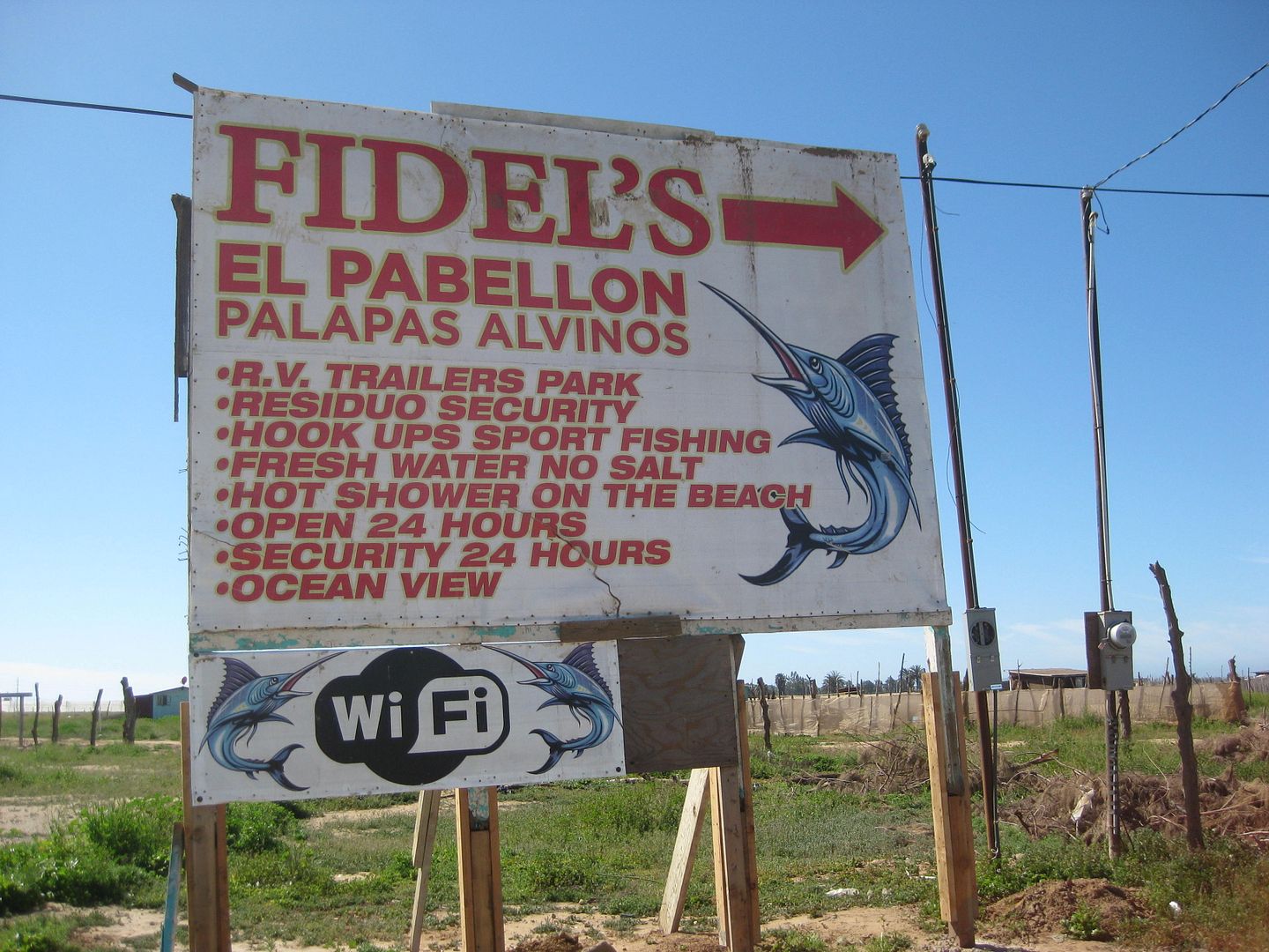
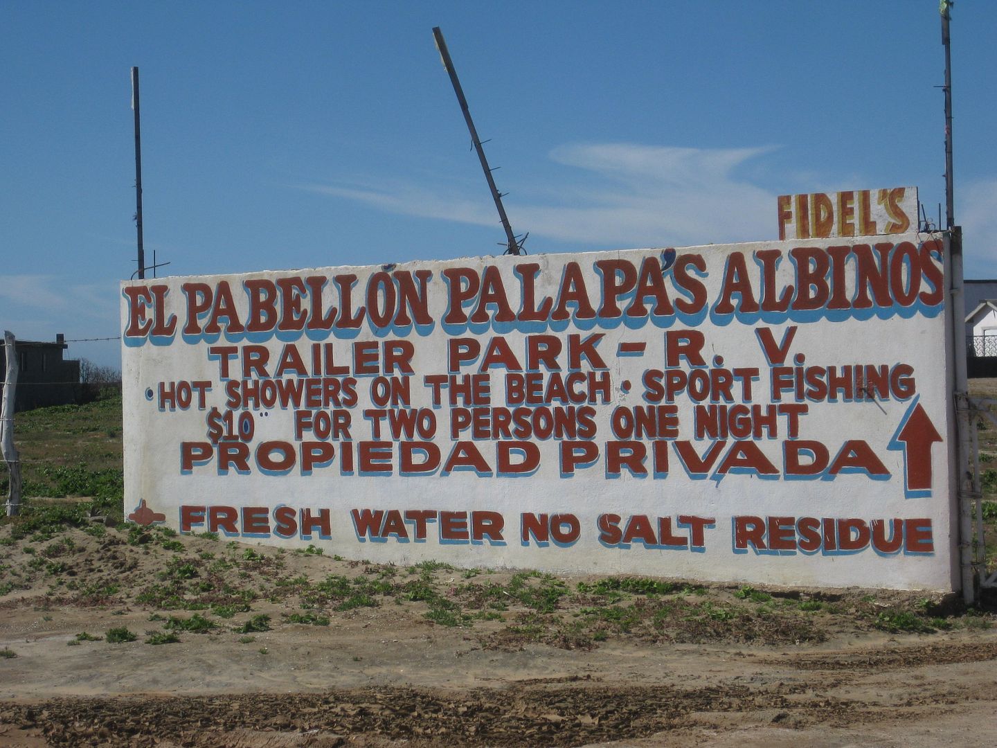
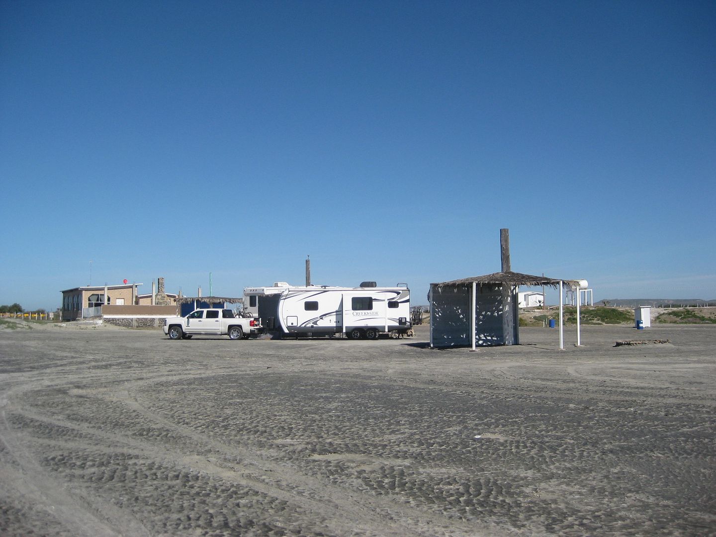
Nice place, next to a huge, flat beach.
Km. 16 El Pabellon (1.2 mi. in) 150 pesos per night. A HUGE caravan of RVs is all lined up and just pulling out. They are northbound and no way do I
want to be caught behind a half mile long caravan! Before I get a photo taken of the place, I U-turn and get out just ahead of the lead RV.
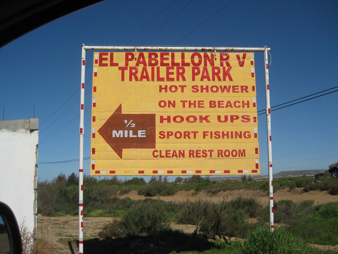
Km. 17 Pemex station (Nueva Odisea)
Km. 14.5 Highway Fork (northbound), ahead is older route via Santa María.
Km. 11 Paved side road to Hotels Misión Santa María and Cielito Lindo. Pemex station 'Los Pinos'.
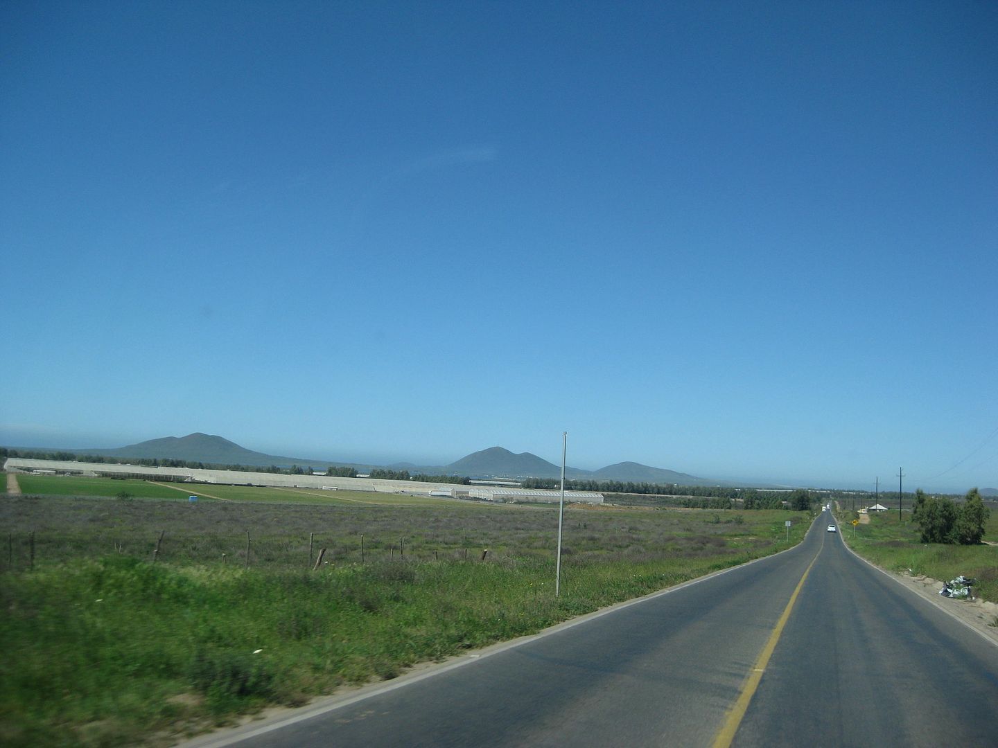
Km. 5 Fork (southbound), straight south for older route, new route curves.
Old English Cemetery is west of here.
Km. 4 Pemex
Km. 1.5 Los Olivos RV Park road west
Km. 1 Paved road west to Jardines road, Old Mill hotel, San Quintin bay shore.
Km. 0/ Km. 196 (from Ensenada). Point of newest section of Highway 1 (1973) south of here as highway narrows to 19 ft. to fit the construction budget.
Km. 169+ Mission Santo Domingo road (5 miles)
Km. 140.5 Paved road 62 miles to obsrvatorty (at 9,280').
Km. 105 new Pemex.
Km. 102.5 Road to Valle de Trinidad
Km. 90 Pemex, San Vicente
Km. 88.5 Road west to Mission San Vicente
Km. 79 Paved road west to Ejido Erendira
A road widening construction detour is 1.3 miles long.
Km. 50 Santo Tomás, Pemex, El Palomar RV Park (steep driveway).
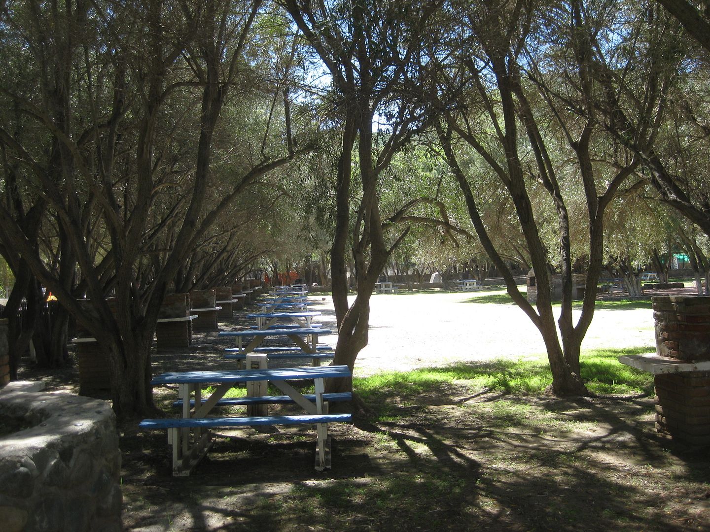
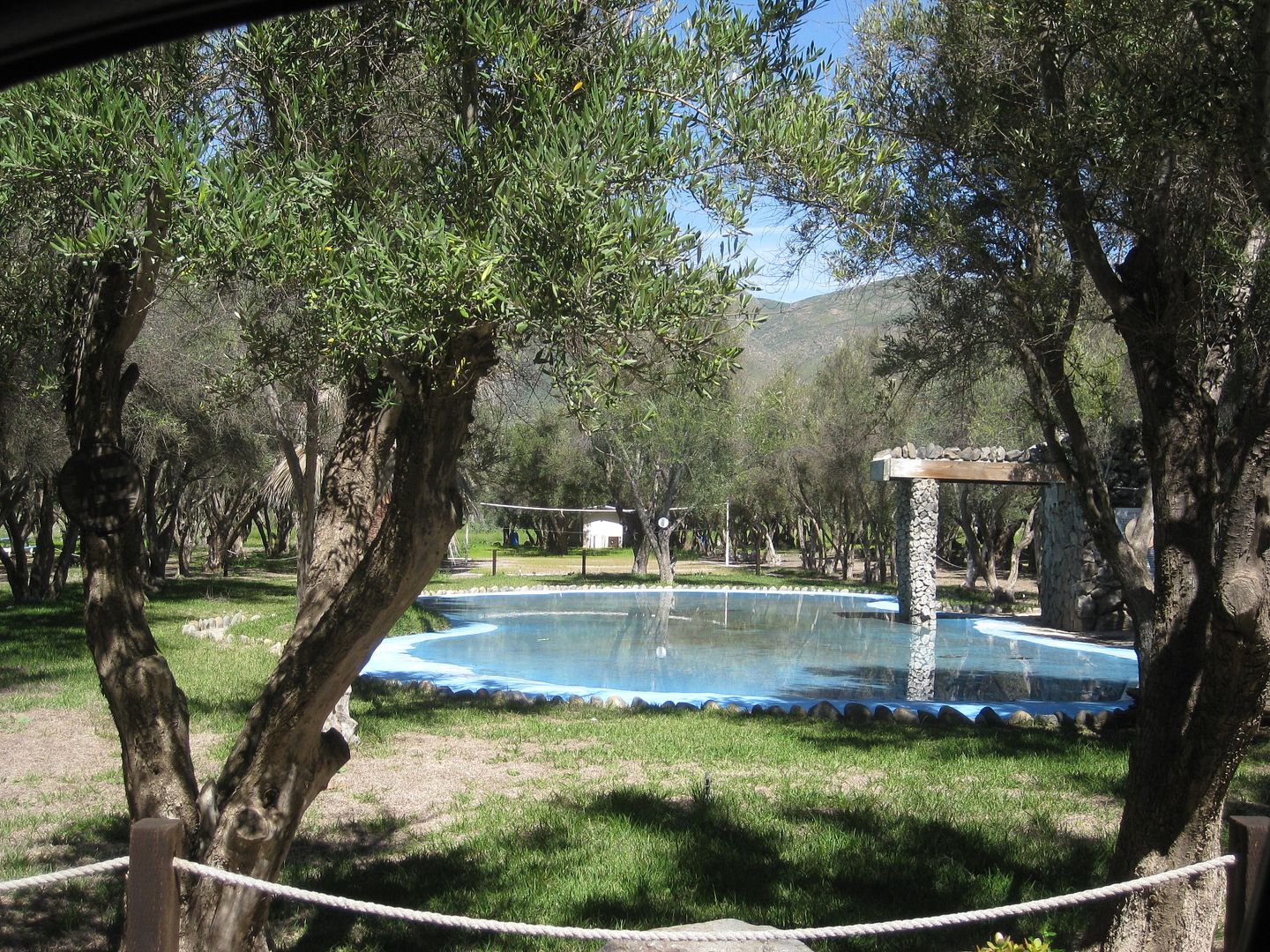
The RV park is huge and empty. The owner tells me the hew highway crews will be making an improved entrance as widening made the driveway so steep,
motorhomes are fearful to enter.
The remains of the final California mission to stay in operation are just outside the park and accessed by driving right through (turn left at the
bus). This was the third location of the Santa Tomás mission, moved here in 1799 and operated until 1849. I go into lot's of detail in my book, 'Baja
California Land of Missions' www.oldmissions.com
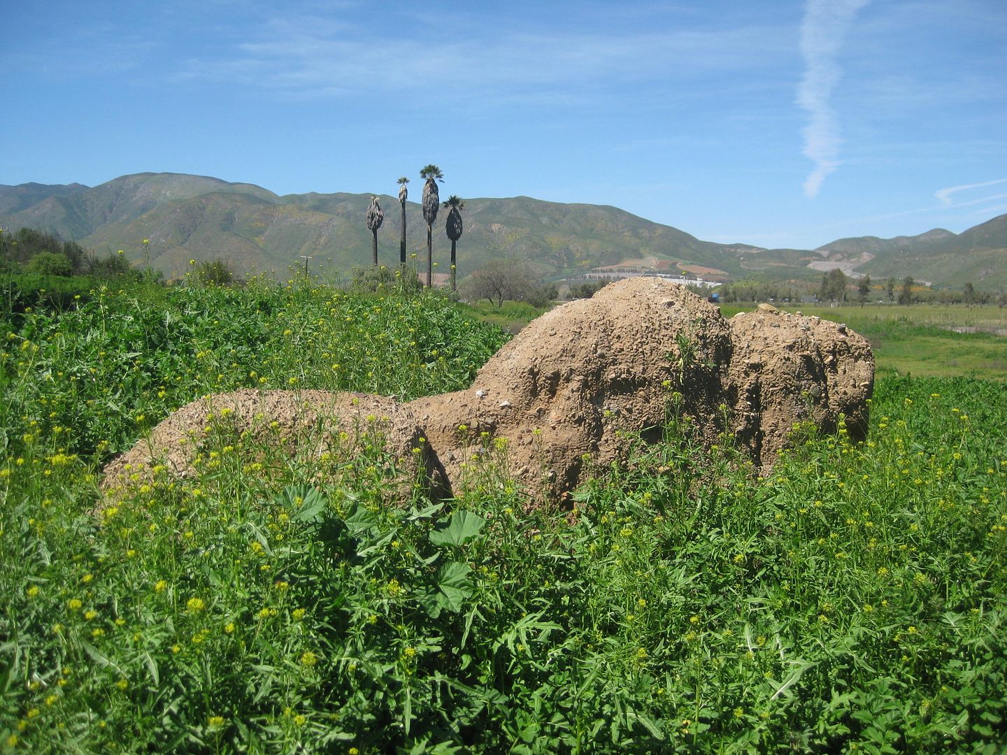
View north
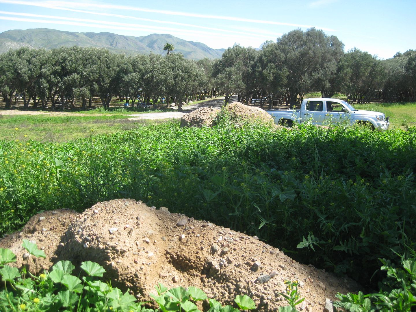
View south to the campground/ RV park.
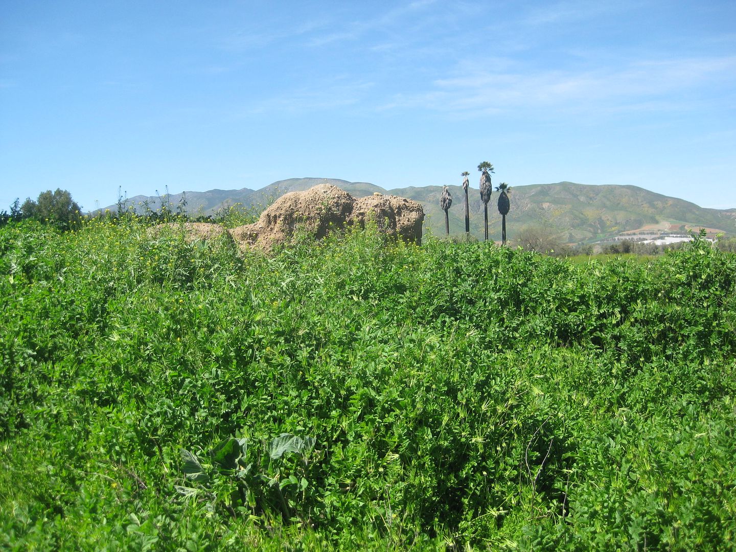
2017
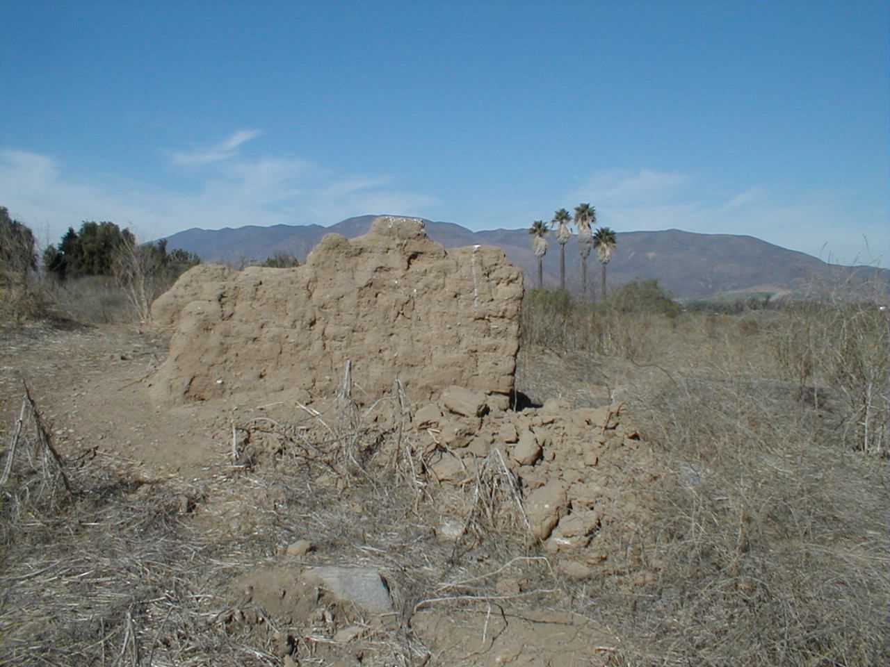
2005 (weed free)
Km. 47 La Bocana and Puerto Santo Tomás road west.
Km. 41.5 Paved road east to Ejido Uruapan (hot springs).
Km. 40.5 La Grulla Market
Km. 37.5 Military Checkpoint
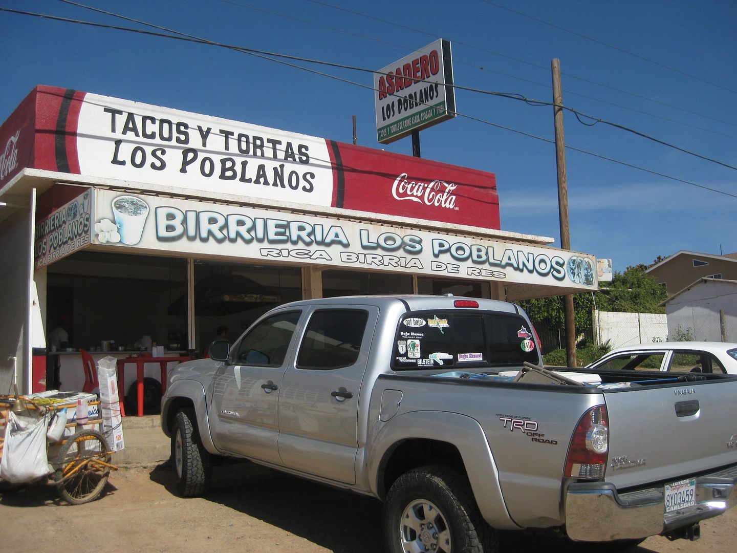
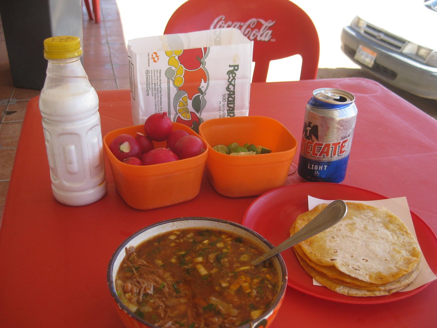
In Maneadero, I stop for lunch and have a bowl of Birria (60 pesos).
Takes a half hour just to get across Ensenada...
The highway to Tecate is excellent.
Km. 75.5 Pemex and Paved road into Guadalupe (Francisco Zarco) and the ruins of the last California mission to be founded (1834-1840): Guadalupe.
I have lots of pesos still, and fill my gas tank in Tecate. It is 16.10 pesos per liter for Magna ($3.25/ gallon at 18.80:1). I get 17.7 mpg from El
Rosario to here (223 miles).
I get to the border line at 3:40 pm and am inside the U.S. at 3:59.
With traffic, I am home by at 6 pm. 1,064 miles since I left.
I will be ready to go back in about a month. Can't wait!!! VIVA BAJA!!!
|
|
|
JohnK
Junior Nomad

Posts: 69
Registered: 3-11-2012
Member Is Offline
|
|
Wow. Thank you David K!
|
|
|
David K
Honored Nomad
        
Posts: 65411
Registered: 8-30-2002
Location: San Diego County
Member Is Offline
Mood: Have Baja Fever
|
|
You are quite welcome!
Drive Baja!
|
|
|
kevin_in_idaho
Nomad
 
Posts: 143
Registered: 12-13-2016
Member Is Offline
|
|
Awesome. I love the old pictures and the new pictures of the same locations to see how (or not) the places have changed.
Thanks again for this and all the help you gave me last month!
|
|
|
Mexitron
Ultra Nomad
    
Posts: 3397
Registered: 9-21-2003
Location: Fort Worth, Texas
Member Is Offline
Mood: Happy!
|
|
Yer killin' me David! Awesome....must get back.......
|
|
|
David K
Honored Nomad
        
Posts: 65411
Registered: 8-30-2002
Location: San Diego County
Member Is Offline
Mood: Have Baja Fever
|
|
It's a long drive from Texas! But, half of Canada was down there in January and February!
When I was in Berrendo Canyon, I thought of you and your friends, meeting your group at the Parral gate in 2004. I emailed with Barry A, from my camp
in Berrendo, as it is one of his favorites, too. Bud and Myron camped with Barry there. Enjoy Baja as much as you can because life is not forever!
|
|
|
David K
Honored Nomad
        
Posts: 65411
Registered: 8-30-2002
Location: San Diego County
Member Is Offline
Mood: Have Baja Fever
|
|
Quote: Originally posted by kevin_in_idaho  | Awesome. I love the old pictures and the new pictures of the same locations to see how (or not) the places have changed.
Thanks again for this and all the help you gave me last month! |
The pleasure was mine. Baja is the gift, I am just a reporter!
The old and new side by side photos have been so eye opening. Now, we also find cardón and boojum tree photos taken years apart interesting.
I have more stories from my February trip I thought of, not in the report...
Rifles in Baja Sur!
Driving east from La Purísima maybe 12 miles from Hwy 1, a lone walker with a rifle. I stopped and offered him a bottle of water, he gladly accepted.
I asked if the .22 was for rabbits and he said it was for pumas (mountain lions). Walking makes humans a target for lunch!
A couple hours later, maybe 9 miles away when I was walking back from Comondú Viejo, two rifle carrying cowbows were walking towards me. While this
probably would scare some of you, I simply told them I was photographing the mission ruins. Fear of lion attack runs high. I guess I was living on the
edge today in Baja!
|
|
|
BornFisher
Super Nomad
   
Posts: 2128
Registered: 1-11-2005
Location: K-38 Santa Martha/Encinitas
Member Is Offline
|
|
Great report! Enjoyed the read! Those caravans can sure cause chaos on the road and at gas stations!!
"When you catch a fish, you open the door of happiness."
|
|
|
David K
Honored Nomad
        
Posts: 65411
Registered: 8-30-2002
Location: San Diego County
Member Is Offline
Mood: Have Baja Fever
|
|
Yes, I did not want to be behind a half mile long caravan. It was great to see however because it means people are not fearing Mexico, at least not
with the security of traveling with a mob!
I look forward to leading small caravans of 4WD camping folks or a passenger ride-a-long for a custom Baja trip. The Baja Extreme 2016 was terrific.
My next expedition (#4) will either be in Sur or norte, weather depending. Beaches, missions, scenic locations, points of interest and places to
overnight are what I am collecting data on.
|
|
|
Mexitron
Ultra Nomad
    
Posts: 3397
Registered: 9-21-2003
Location: Fort Worth, Texas
Member Is Offline
Mood: Happy!
|
|
The Pumas seem to more hostile to humans in Baja Sur, rather than the north, at least from the stories over the years. That said Myron smith told of
rounding a bend somewhere in the Seven Sisters area and coming upon a Puma trying to attack a calf. The mother cow was doing pretty well at
protecting it and when the cat saw Myron he growled at him, then growled at the cow, then took off, peeed!
|
|
|
David K
Honored Nomad
        
Posts: 65411
Registered: 8-30-2002
Location: San Diego County
Member Is Offline
Mood: Have Baja Fever
|
|
Nice story. I am sorry I never met Myron or Bud. It is fun to read about them, however.
Do you have Froy Tiscareño's book, 'Baja California Adventures'?
|
|
|
wessongroup
Platinum Nomad
       
Posts: 21152
Registered: 8-9-2009
Location: Mission Viejo
Member Is Offline
Mood: Suicide Hot line ... please hold
|
|
That was fun ... thanks enjoyed the "ride"  
|
|
|
David K
Honored Nomad
        
Posts: 65411
Registered: 8-30-2002
Location: San Diego County
Member Is Offline
Mood: Have Baja Fever
|
|
A great pleasure on my end to do this research and I hope you like what is produced from it.
What makes this Baja Bound project really unique over past guidebooks is that it is 'living' so that changes, corrections, additions can be made at
any time. All of you can provide input... at least that's what I see as an advantage. If you think a Baja site is worthy of inclusion, let me know, if
I missed it.
There is just SO MUCH BAJA that it is not even possible to get all of it into a guide. I am always amazed at what Howard Gulick achieved in the 1950s
with his Lower California Guidebook. How he could take so much time off work (he was an engineer fro the City of Glendale) and map all the roads, and
they were almost all dirt roads down the peninsula, then. Peter Gerhard was his co-author, but more for the historic data than maps and road logs.
I have a lot of data to download, and then formatting it will be work.
Keep on loving Baja!
[Edited on 4-30-2017 by David K]
|
|
|
JohnK
Junior Nomad

Posts: 69
Registered: 3-11-2012
Member Is Offline
|
|
If anybody can do it, it's you David. Hope you fel better soon.
|
|
|
David K
Honored Nomad
        
Posts: 65411
Registered: 8-30-2002
Location: San Diego County
Member Is Offline
Mood: Have Baja Fever
|
|
Thank you John, I do... or I did, should I say. That post was from a month ago, got bumped to here but the date wasn't changed with the move. The
hernia surgery went perfectly. I once again have an innie belly button, lol.!
Now I have a lot of data to type up for the guide and map. By my posting a rough draft of it here on Nomad, it helps me see how it reads, if it looks
right, and how much drama it causes.
Have you enjoyed the April trip so far (#4)?
|
|
|
JohnK
Junior Nomad

Posts: 69
Registered: 3-11-2012
Member Is Offline
|
|
Oh yeah. Dude, I live vicariously through you....
|
|
|
David K
Honored Nomad
        
Posts: 65411
Registered: 8-30-2002
Location: San Diego County
Member Is Offline
Mood: Have Baja Fever
|
|
It's the last name with a K that does it! 
YOU SHOULD COME DOWN WITH ME ON ONE OF THESE EXPEDITIONS? You have to be like in go go go mode to get as many miles in as possible. Follow in your rig
(it better be a Toyota or not break) or maybe ride in mine, if the seat is open for a fair ride share fee. NON SMOKERS ONLY.
I have XM satellite radio so Fox News is available, lol. Nice tunes to jamming rock and reggae to mellow out. I can email or text anywhere and family
at home can follow us on a near-live track when we are moving, updated every 10 min. My smartphone has the live topo map of our location so no mystery
to where we are. Just be self contained for camping and a few hotel stays, maybe 2-3 on a trip to clean up or because we are in a city.
Future trips, if the project continues:
*Loreto to Cabo and both coasts.
*Ensenada to San Quintin and the San Pedro Martir.
*Sierra Juarez incl.Hwy. 2 and Hwy. 3.
*Vizcaino Peninsula (Abreojos to Tortugas, Malarrimo, San Francisco de la Sierra), maybe down to San Juanico on the north road?
|
|
|
David K
Honored Nomad
        
Posts: 65411
Registered: 8-30-2002
Location: San Diego County
Member Is Offline
Mood: Have Baja Fever
|
|
2017 Baja Bound Road Guide & Map Research Trips
TRIP #1 (San Felipe to Punta San Francisquito via L.A. Bay): http://forums.bajanomad.com/viewthread.php?tid=85374
TRIP #2 (San Ignacio to Loreto, Ligüí, San Javier, Comondú, La Purísima): http://forums.bajanomad.com/viewthread.php?tid=85756
TRIP #3 (Mexicali to San Felipe, Valle Chico, Matomí, Parral, + El Rosario area): http://forums.bajanomad.com/viewthread.php?tid=85989
TRIP #4 (Valle de Trinidad crossover, San Quintin to Laguna Manuela and 7 Sisters coast road): http://forums.bajanomad.com/viewthread.php?tid=86376
TRIP #5 (Central Baja: El Arco, El Barril, San Francisco de la Sierra, Abreojos, Asuncion, Tortugas, Eugenia, Pronghorn Reserve): http://forums.bajanomad.com/viewthread.php?tid=86781
TRIP #6 (Southernmost Baja: San Ignacio to San Juanico, Loreto to Cabo San Lucas, San Evaristo, and more): http://forums.bajanomad.com/viewthread.php?tid=87323
TRIP #7 (Pacific North, San Pedro Mártir Mountains: http://forums.bajanomad.com/viewthread.php?tid=87976
[Edited on 4-8-2018 by David K]
|
|
|
WideAngleWandering
Nomad
 
Posts: 416
Registered: 3-13-2012
Location: US-Based but traveling
Member Is Offline
|
|
Quote: Originally posted by David K  |
A side trip to Agua Caliente Canyon, goes from the ranch, onto a former airstrip for the ejido, enters the canyon at Mile 2.0, passes a metal water
tank at mile 2.2, Comes to a gate at Mile 2.4 (petroglyph viewing), and goes to Miles 2.6 mile where the road was washed out. A track has been blazed
to the left that does continue but going solo I had to resist trying to get to the hot springs today!
|
Is this the right canyon? 30.658512, -115.162855
I've driven around out there looking for the Agua Caliente after I'd seen on the Nat Geo map. I never did make it. Your directions may help. How
tough is it to get to the springs themselves? I may be solo at that point on our trip (lifted 4wd Land Cruiser).
Traveling the Americas via my old land cruiser
|
|
|
| Pages:
1
2
3
4
5 |
|

