| Pages:
1
2
3
4 |
PaulW
Ultra Nomad
    
Posts: 3099
Registered: 5-21-2013
Member Is Offline
|
|
===
Yubay is just background garbage from the Trackmaker map. The only things that are valid are my WPs and the GPS track
[Edited on 7-16-2018 by PaulW]
|
|
|
David K
Honored Nomad
        
Posts: 65078
Registered: 8-30-2002
Location: San Diego County
Member Is Offline
Mood: Have Baja Fever
|
|
I figured...
|
|
|
PaulW
Ultra Nomad
    
Posts: 3099
Registered: 5-21-2013
Member Is Offline
|
|
I have explained before.
This site has a 250k limit on attachments so I cannot post a GPX or KML file. So if you have trouble converting the USR file send me a U2U with your
email address and I will forward you the files.
BTW Trackmaker always gets conversions correct. The only thing Trackmaker cannot deal with is the Lowrance GEN3 format. And the other tools off the
web try to do the new format conversion, but many get it wrong. Trackmaker is for PCs only.
The USR attachment to this message is a repeat of the last one I posted.
========= =
Quote: Originally posted by PaulW  | I have revised the GPS file to add the WPs that all the contributors provided. The basic track is unchanged.
Please use your tool to create a .KML or .GPX file from the attached .USR file. |
Attachment: Pioneeer Road WPs.usr (80kB)
This file has been downloaded 387 times
|
|
|
Ken Cooke
Elite Nomad
     
Posts: 8955
Registered: 2-9-2004
Location: Riverside, CA
Member Is Offline
Mood: Pole Line Road postponed due to injury
|
|
My last trip into this area, my group traveled to Cocos, backtracked about 1 mile to a dirt road on the east side of the Gonzaga-Chapala road, then
entered a small canyon route that was spring fed, filled with standing water and mud. A virtual oasis in this desert region.
|
|
|
ehall
Super Nomad
   
Posts: 1906
Registered: 3-29-2014
Location: Buckeye, Az
Member Is Offline
Mood: It's 5 o'clock somewhere
|
|
Probably Calamajue wash Ken.
|
|
|
4x4abc
Ultra Nomad
    
Posts: 4377
Registered: 4-24-2009
Location: La Paz, BCS
Member Is Offline
Mood: happy - always
|
|
Enchanted Valley - right at the mission ruins
Harald Pietschmann
|
|
|
David K
Honored Nomad
        
Posts: 65078
Registered: 8-30-2002
Location: San Diego County
Member Is Offline
Mood: Have Baja Fever
|
|
Haven't you been in Calamajué Canyon, Ken???
2012:
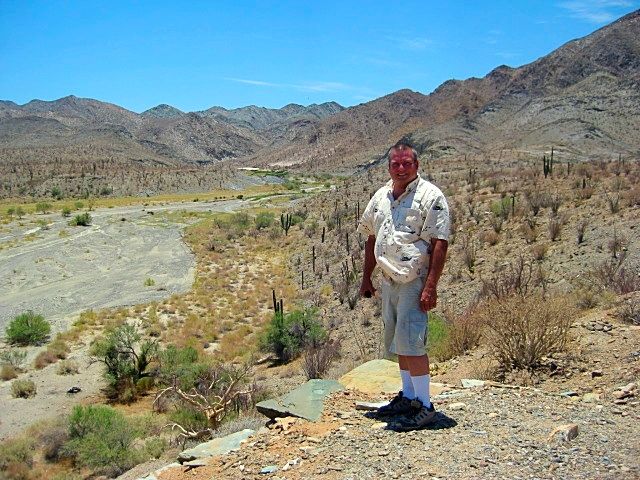
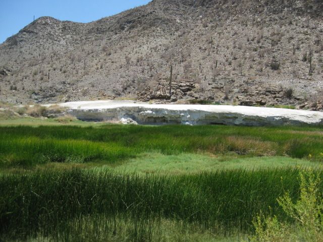
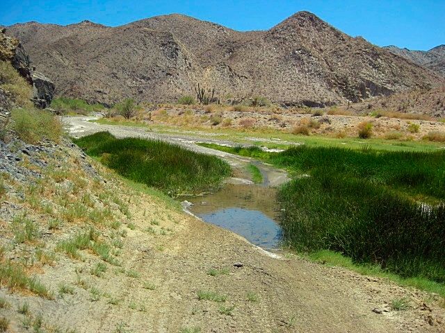
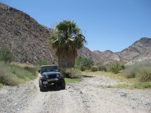
It is safe for Jeeps!
2016:
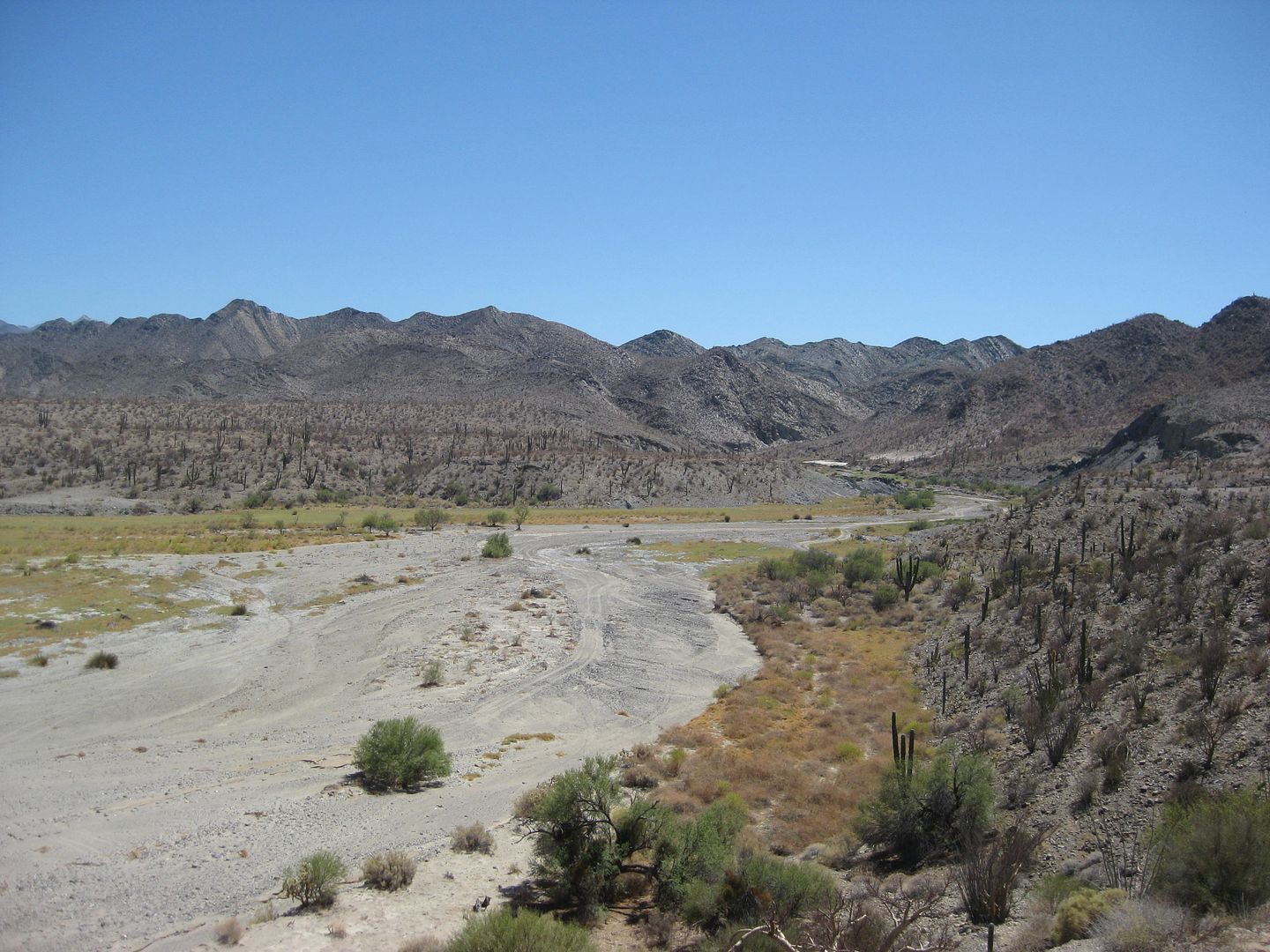
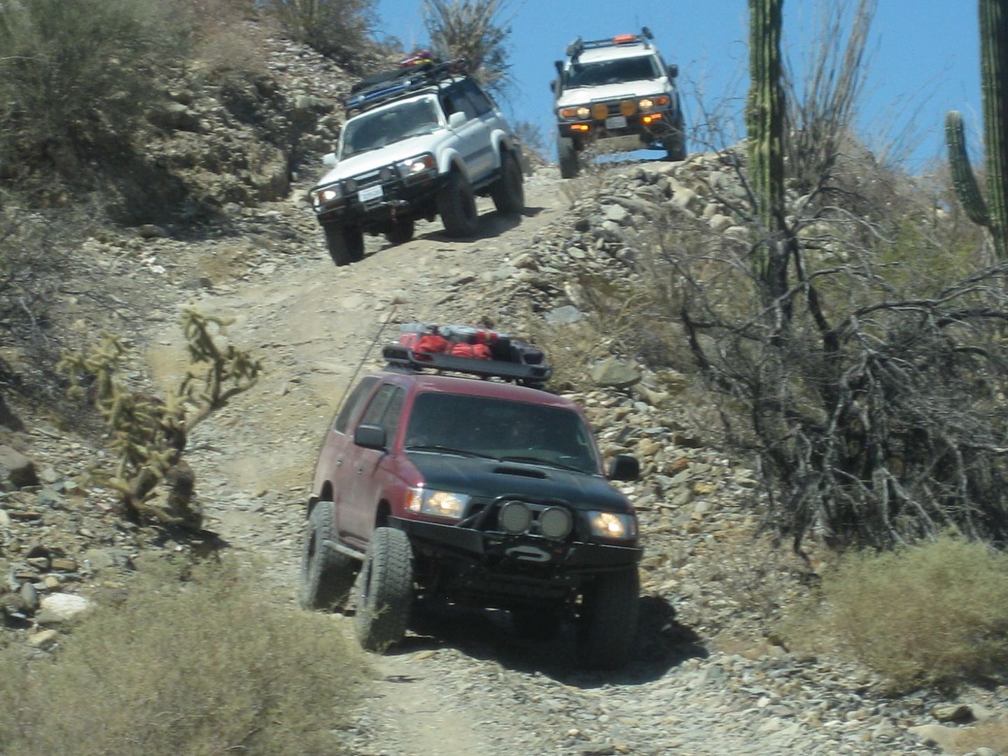
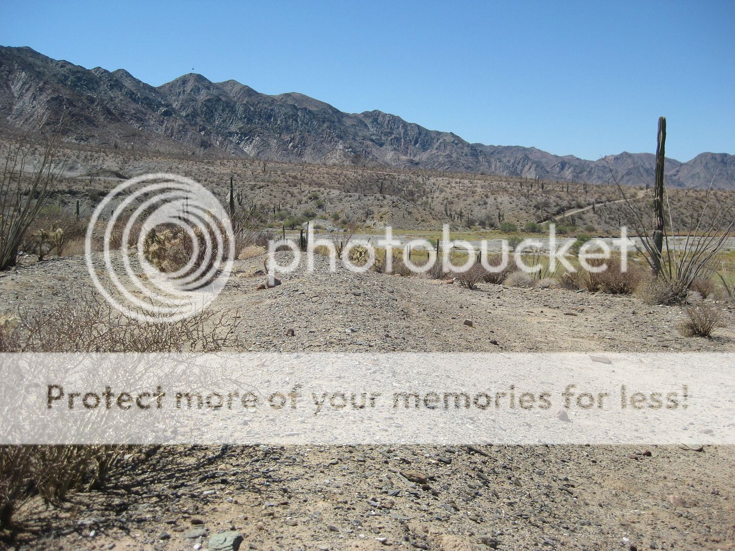
Mission site is across from where the road drops to the arroyo and up on the opposite terrace.
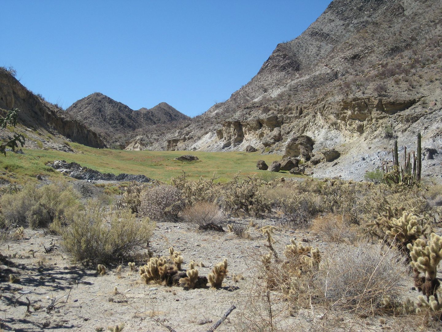
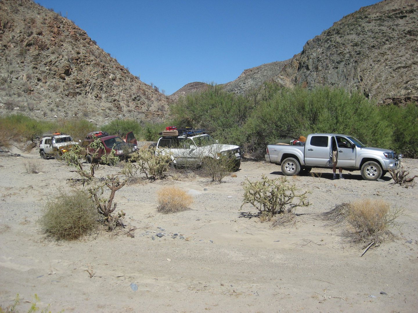
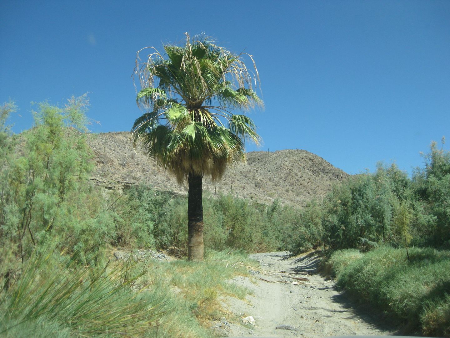
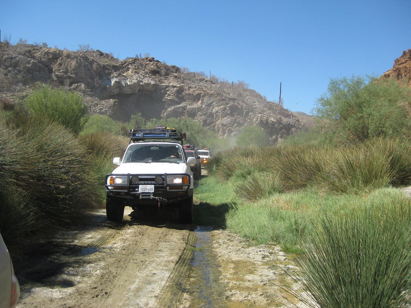
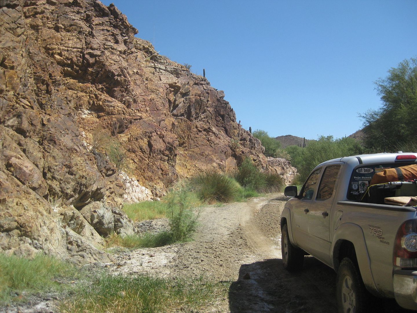
[Edited on 7-17-2018 by David K]
|
|
|
PaulW
Ultra Nomad
    
Posts: 3099
Registered: 5-21-2013
Member Is Offline
|
|
10+ years ago I drove thru the wash and the water came up to the top of my tires and the grass was up as high as the top of the hood. The last several
trips there was nothing more than puddles. When the racers drove thru they splashed a lot and they were unhappy because they got wet and it made for a
very cold drive after that. Now at normal speeds you probably wont even get mud on your tires and any kind of rig can pass the wash with no issues.
How times have changed.
David's pictures are still accurate for Jan 2018.
|
|
|
TMW
Select Nomad
      
Posts: 10659
Registered: 9-1-2003
Location: Bakersfield, CA
Member Is Offline
|
|
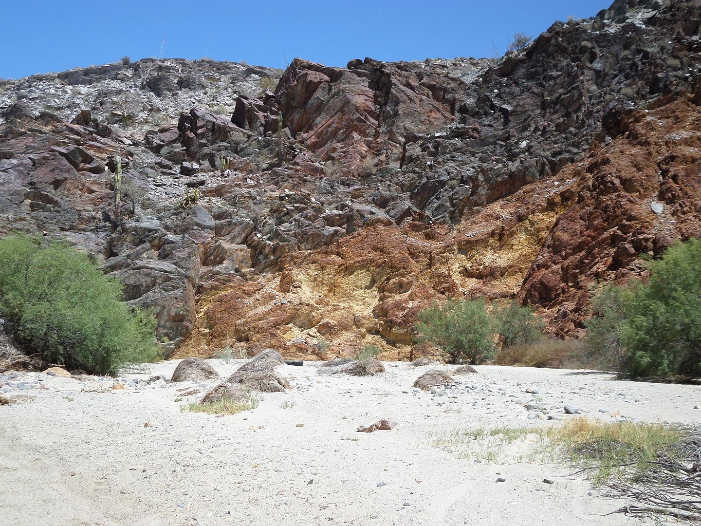
Ken there is gold in the hills, you don't want to miss that.
|
|
|
JZ
Select Nomad
      
Posts: 11952
Registered: 10-3-2003
Member Is Online
|
|
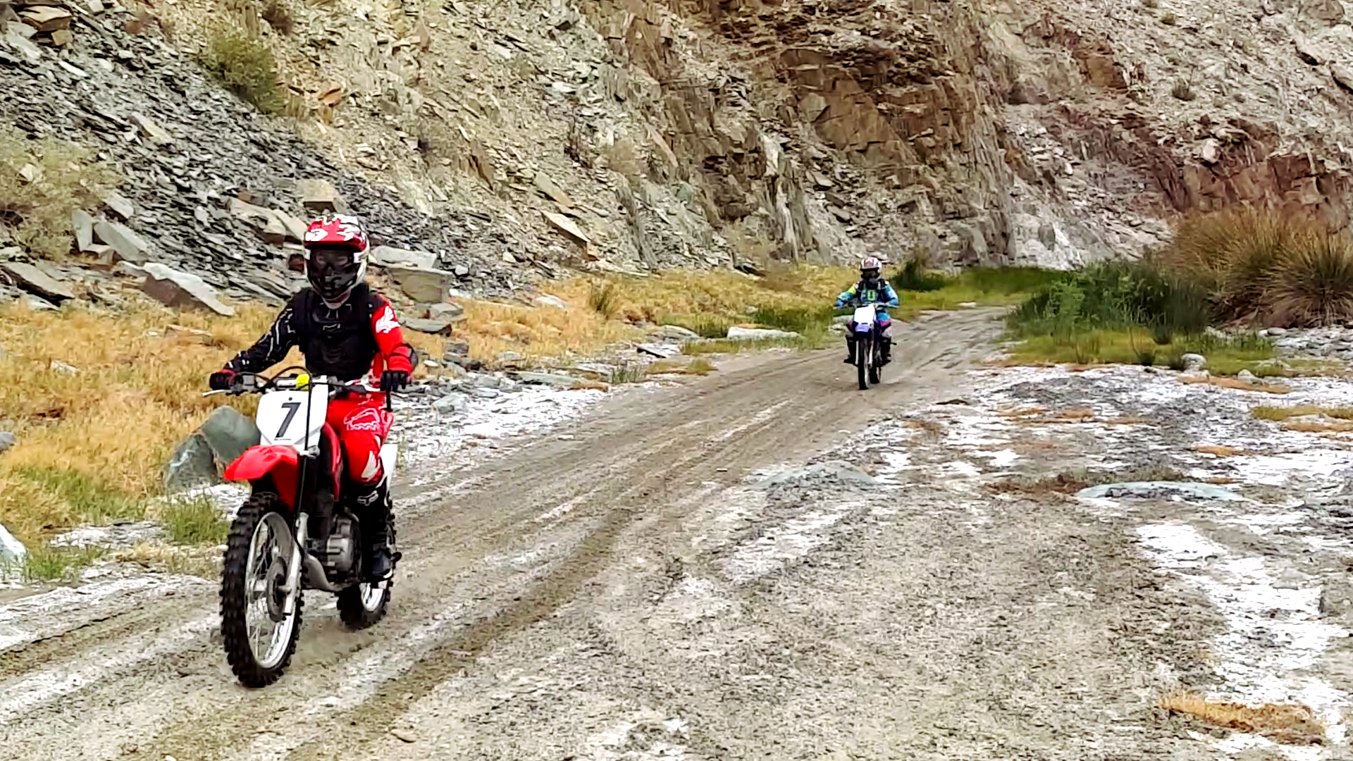
Pic of the kids flying through Calamajué Canyon.
[Edited on 7-17-2018 by JZ]
|
|
|
Ken Cooke
Elite Nomad
     
Posts: 8955
Registered: 2-9-2004
Location: Riverside, CA
Member Is Offline
Mood: Pole Line Road postponed due to injury
|
|
| Quote: | [quote=1128182&tid=89928&author=David K]
Haven't you been in Calamajué Canyon, Ken??? |
I have been through Calamajue Canyon in 2008 with 10 Jeeps and 3 Toyotas. It was a very good run. Mud was about 2 feet deep in places. Time is
short as I'm preparing for a week trip south of the border. Photos can follow, but they will have to wait.
[Edited on 7-17-2018 by Ken Cooke]
|
|
|
Ken Cooke
Elite Nomad
     
Posts: 8955
Registered: 2-9-2004
Location: Riverside, CA
Member Is Offline
Mood: Pole Line Road postponed due to injury
|
|
This is looking like a great alternate to Mission Santa Maria due to increased travel times and a finite amount of vacation time in February.
|
|
|
David K
Honored Nomad
        
Posts: 65078
Registered: 8-30-2002
Location: San Diego County
Member Is Offline
Mood: Have Baja Fever
|
|
| Quote: |
I have been through Calamajue Canyon in 2008 with 10 Jeeps and 3 Toyotas. It was a very good run. Mud was about 2 feet deep in places. Time is
short as I'm preparing for a week trip south of the border. Photos can follow, but they will have to wait.
[Edited on 7-17-2018 by Ken Cooke] |
I was in the canyon in 2016 and 2012 (as well as many other times back to 1967). Both times were very easy to drive but even less water in 2016 than
2012, which only had one deep puddle. Let me know if you want photos. Keep in mind, the 1766-1767 Jesuit mission site is up on the ledge, directly
across from where the road drops into the arroyo at the gold mill ruins (which require you park and look over the edge of the cliff to see). So much
history there you can easily miss if you are not informed.
|
|
|
PaulW
Ultra Nomad
    
Posts: 3099
Registered: 5-21-2013
Member Is Offline
|
|
Pioneer mine road again
Feb 1 Pioneer road drive
From the new H5 Coco turn at k180 we turned off the new H5 onto the old H5 graded road then took a turn off Old H5 to the north east direction to get
to the Pioneer mine road. The only thing new on the Pioneer track is we took the path to the newest digs and found a marker dated 1990. This west
loop has some route finding and one difficult place which required stacking rocks.
The attached KML file has more details. Zoom way in to see the details
Attachment: coco exit, pioneer enter.kml (149kB)
This file has been downloaded 309 times
|
|
|
Ken Cooke
Elite Nomad
     
Posts: 8955
Registered: 2-9-2004
Location: Riverside, CA
Member Is Offline
Mood: Pole Line Road postponed due to injury
|
|
Quote: Originally posted by PaulW  | Feb 1 Pioneer road drive
From the new H5 Coco turn at k180 we turned off the new H5 onto the old H5 graded road then took a turn off Old H5 to the north east direction to get
to the Pioneer mine road. The only thing new on the Pioneer track is we took the path to the newest digs and found a marker dated 1990. This west
loop has some route finding and one difficult place which required stacking rocks.
The attached KML file has more details. Zoom way in to see the details
|
Thank you for the update PaulW!
|
|
|
David K
Honored Nomad
        
Posts: 65078
Registered: 8-30-2002
Location: San Diego County
Member Is Offline
Mood: Have Baja Fever
|
|
Quote: Originally posted by PaulW  | Feb 1 Pioneer road drive
From the new H5 Coco turn at k180 we turned off the new H5 onto the old H5 graded road then took a turn off Old H5 to the north east direction to get
to the Pioneer mine road. The only thing new on the Pioneer track is we took the path to the newest digs and found a marker dated 1990. This west
loop has some route finding and one difficult place which required stacking rocks.
The attached KML file has more details. Zoom way in to see the details
|
On my PC and just looked at your track, thanks. Your pin for Km. 180 is 1/2 km south of your pin for the old Hwy. 5 route (Coco's north road). Is that
correct?
Did you take photos of the Pioneer Mine or any others on this trip? I would like to see them, thanks!
|
|
|
PaulW
Ultra Nomad
    
Posts: 3099
Registered: 5-21-2013
Member Is Offline
|
|
Pioneer west loop
The Pioneer west loop had us out of our rigs many times dealing with where to drive and how to find the road. Not much to see because the digs are on
the left up the hill side with no roads. I only got one image at 29 37 25.380, -114 16 54.48 - date 23 Jan 1990

Here is an image of the north exit New H5 to Old H5. We were driving northbound when the track was created.
 Coco.jpg[/img][/url] Coco.jpg[/img][/url]
[Edited on 2-3-2020 by PaulW]
|
|
|
JZ
Select Nomad
      
Posts: 11952
Registered: 10-3-2003
Member Is Online
|
|
We tried to ride the Pioneer Mine trail in 2018. Made it a couple miles. Pretty rocky, but not too bad.
My kid's bike over heated. Turns out there was a problem with the radiator. So we turned around.
One of the only trails in Baja that I feel defeated us. Want to have another run at it this year.
[Edited on 2-6-2020 by JZ]
|
|
|
PaulW
Ultra Nomad
    
Posts: 3099
Registered: 5-21-2013
Member Is Offline
|
|
Do it from the south for an easier trip. Down hill is good for a hot bike.
|
|
|
bkman211
Newbie
Posts: 17
Registered: 5-3-2014
Member Is Offline
|
|
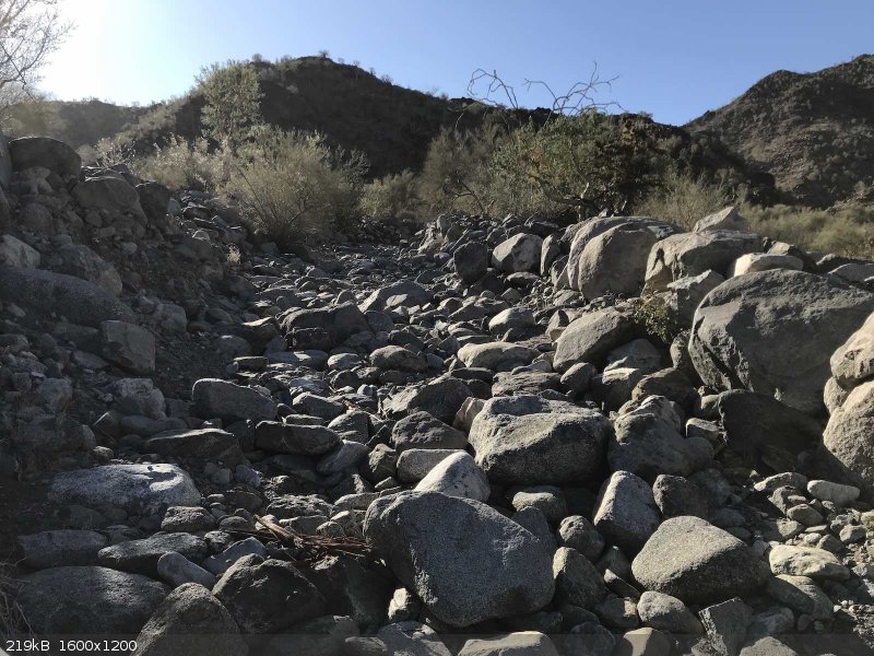
Me and a few guys rode up it last weekend, very rocky for sure which caught us a bit by surprise, thankfully all riders were experienced enough to
make it through without incident. I had never even heard of it before so funny to see two threads about it here today.
|
|
|
| Pages:
1
2
3
4 |

