| Pages:
1
2
3
4
5 |
PaulW
Ultra Nomad
    
Posts: 3113
Registered: 5-21-2013
Member Is Offline
|
|
ElCajon trip with Wornout
See Attached .KML for Beehive
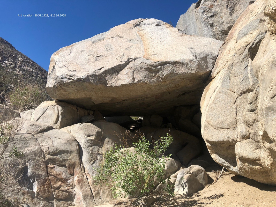
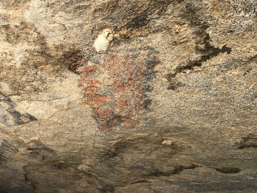
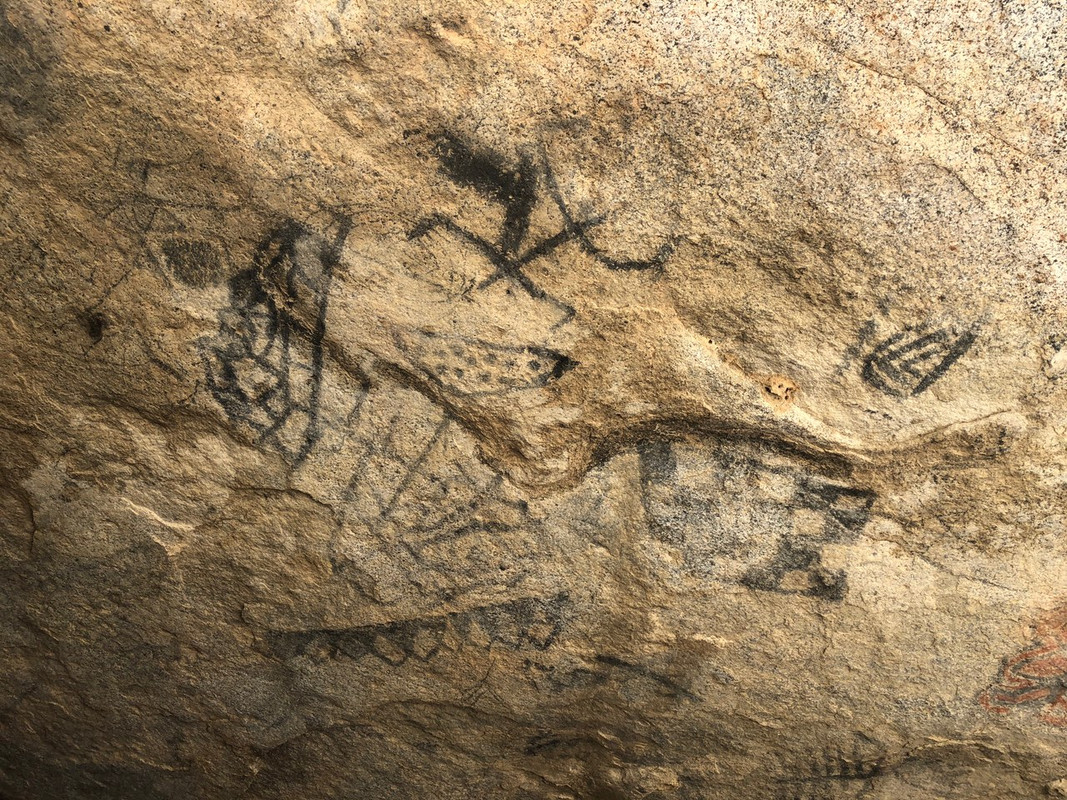
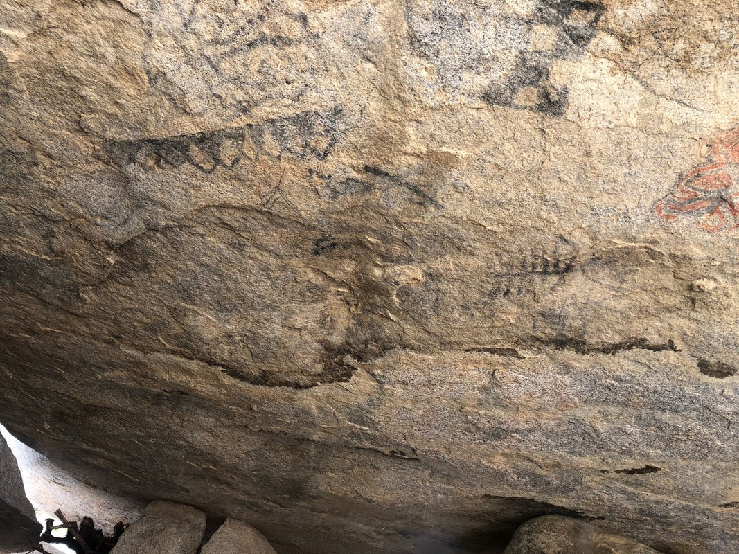
Pics at Beehive
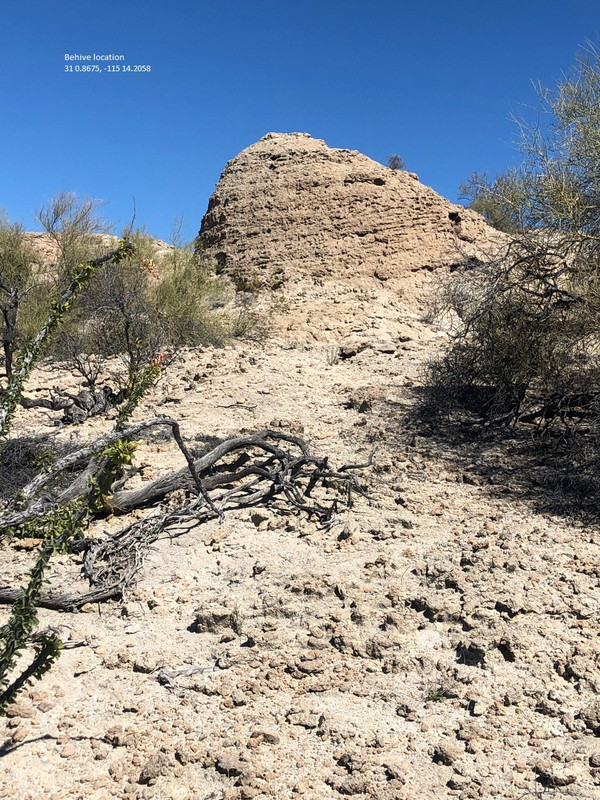
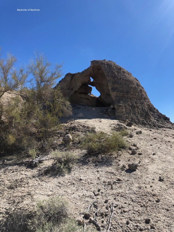
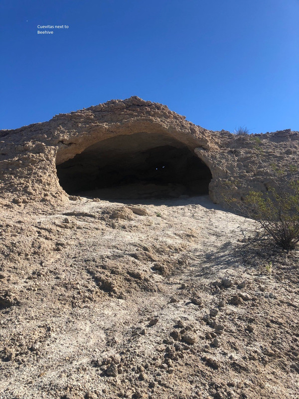
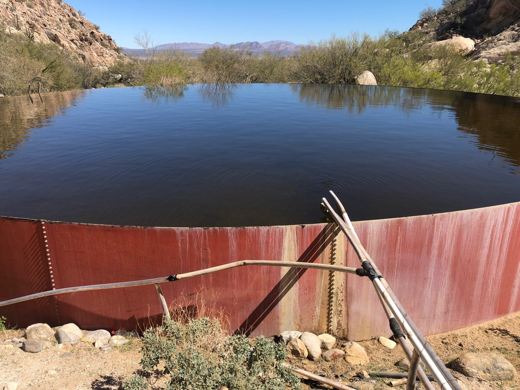
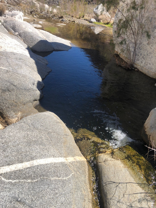
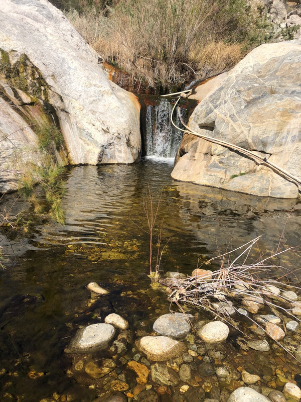
Pics In El Cajon Canyon
 betta care betta care
[file]42610[/file]
[Edited on 3-15-2021 by BajaNomad]
|
|
|
David K
Honored Nomad
        
Posts: 65443
Registered: 8-30-2002
Location: San Diego County
Member Is Offline
Mood: Have Baja Fever
|
|
Thank you so much for adding the photos beyond the road!
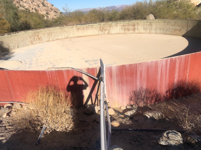
Same water tank I saw in 2004.
Did you need to go through a cattle fence in the arroyo?
Great petro photos!
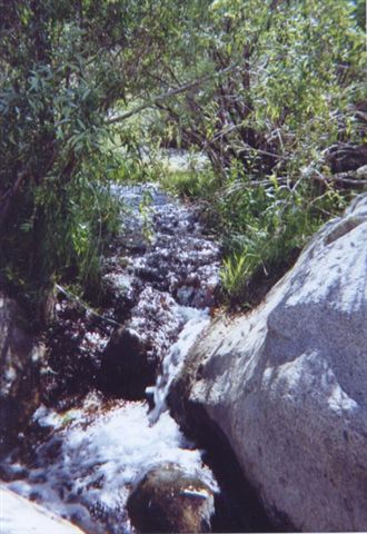
Cañon El Cajon was a major route between the mountains and the sea for the Native people.
2004:


|
|
|
PaulW
Ultra Nomad
    
Posts: 3113
Registered: 5-21-2013
Member Is Offline
|
|
Not much change over the years in this canyon.
I was glad the art was unmolested.
Ron Kinson is the owner of the land from near the ranch to the mountains and he wants the gate closed. It is not locked as it is just for cattle
control. I did not walk the fence line thru the arroyo.
The ancient pvc plumbing is functional and filling that tank and filling the next one towards the ranch.
|
|
|
David K
Honored Nomad
        
Posts: 65443
Registered: 8-30-2002
Location: San Diego County
Member Is Offline
Mood: Have Baja Fever
|
|
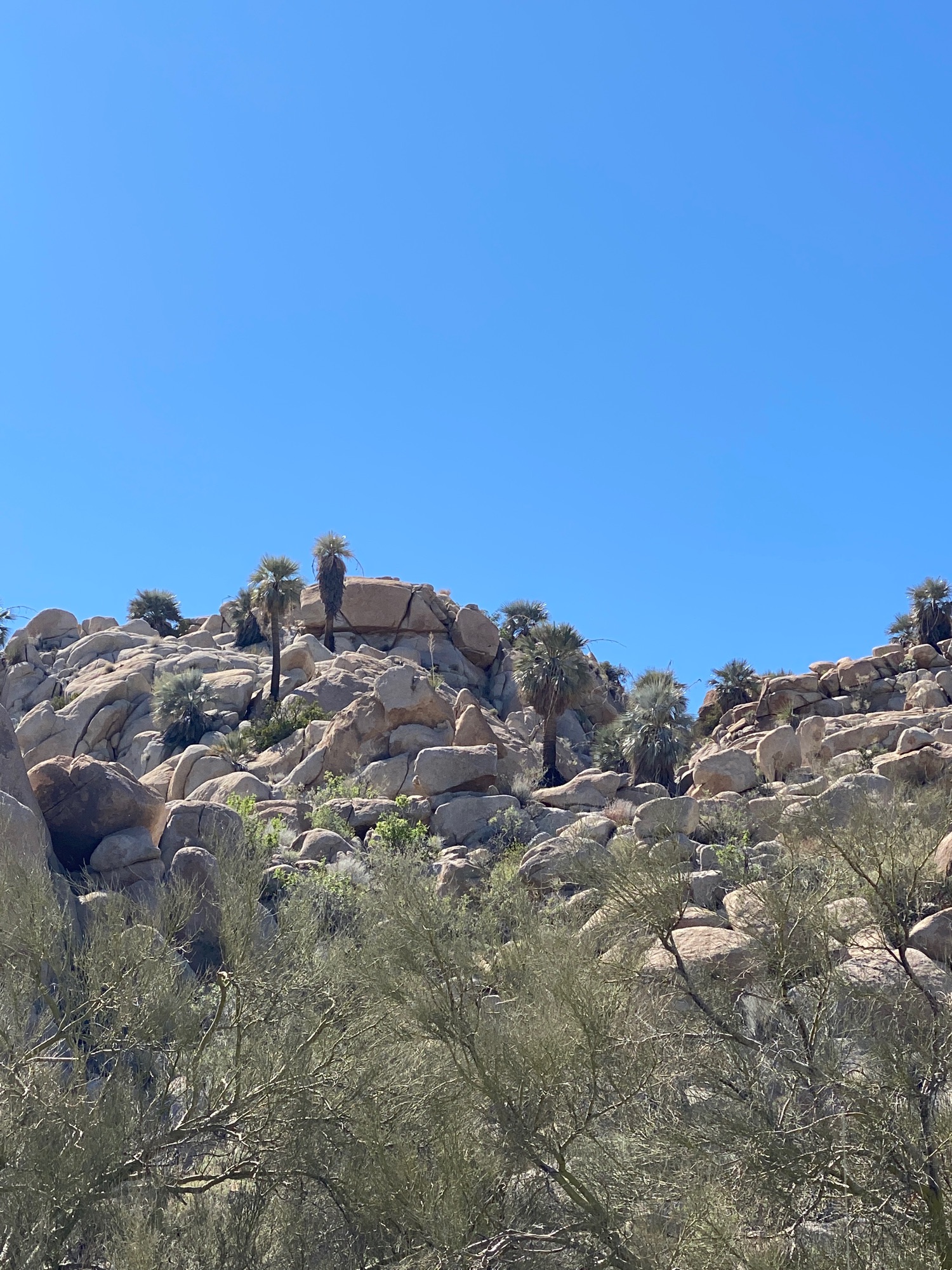
5-26-21 Blue Palms
Moving Map: https://www.relive.cc/view/vQvxBpMzj96
|
|
|
4x4abc
Ultra Nomad
    
Posts: 4454
Registered: 4-24-2009
Location: La Paz, BCS
Member Is Offline
Mood: happy - always
|
|
the water tank is in which canyon?
Harald Pietschmann
|
|
|
David K
Honored Nomad
        
Posts: 65443
Registered: 8-30-2002
Location: San Diego County
Member Is Offline
Mood: Have Baja Fever
|
|
El Cajon.
|
|
|
4x4abc
Ultra Nomad
    
Posts: 4454
Registered: 4-24-2009
Location: La Paz, BCS
Member Is Offline
Mood: happy - always
|
|
the app is lousy - but the trips seem cool.
Harald Pietschmann
|
|
|
David K
Honored Nomad
        
Posts: 65443
Registered: 8-30-2002
Location: San Diego County
Member Is Offline
Mood: Have Baja Fever
|
|
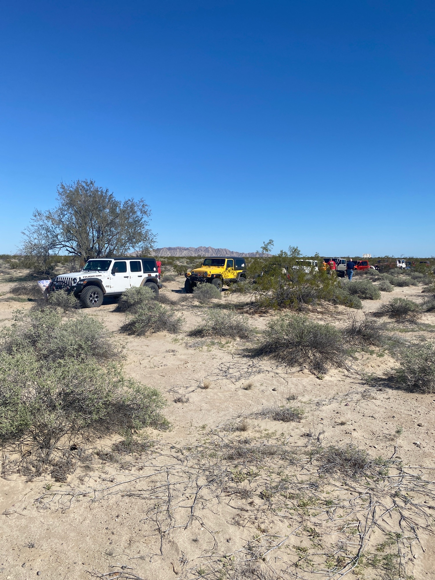
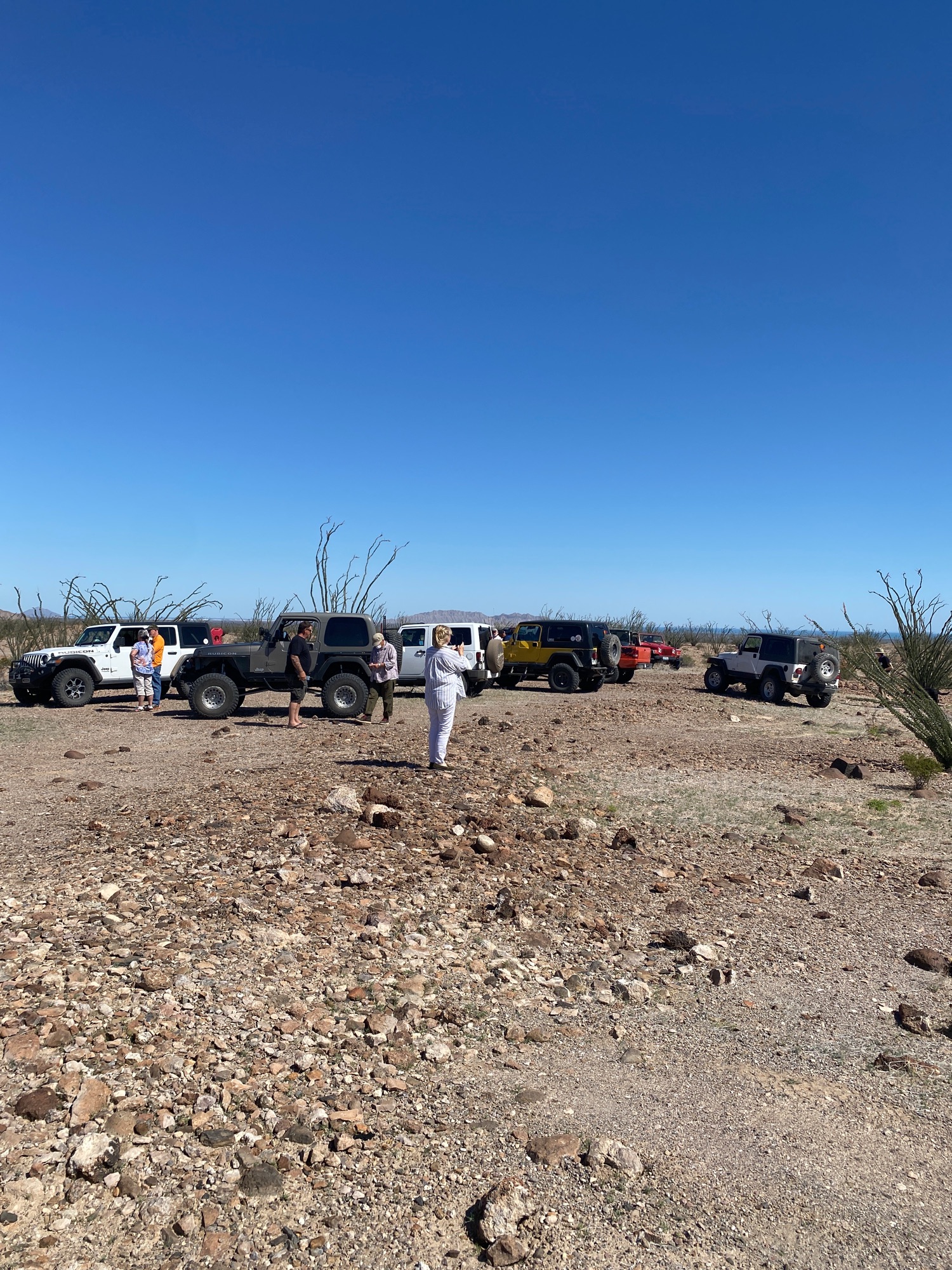
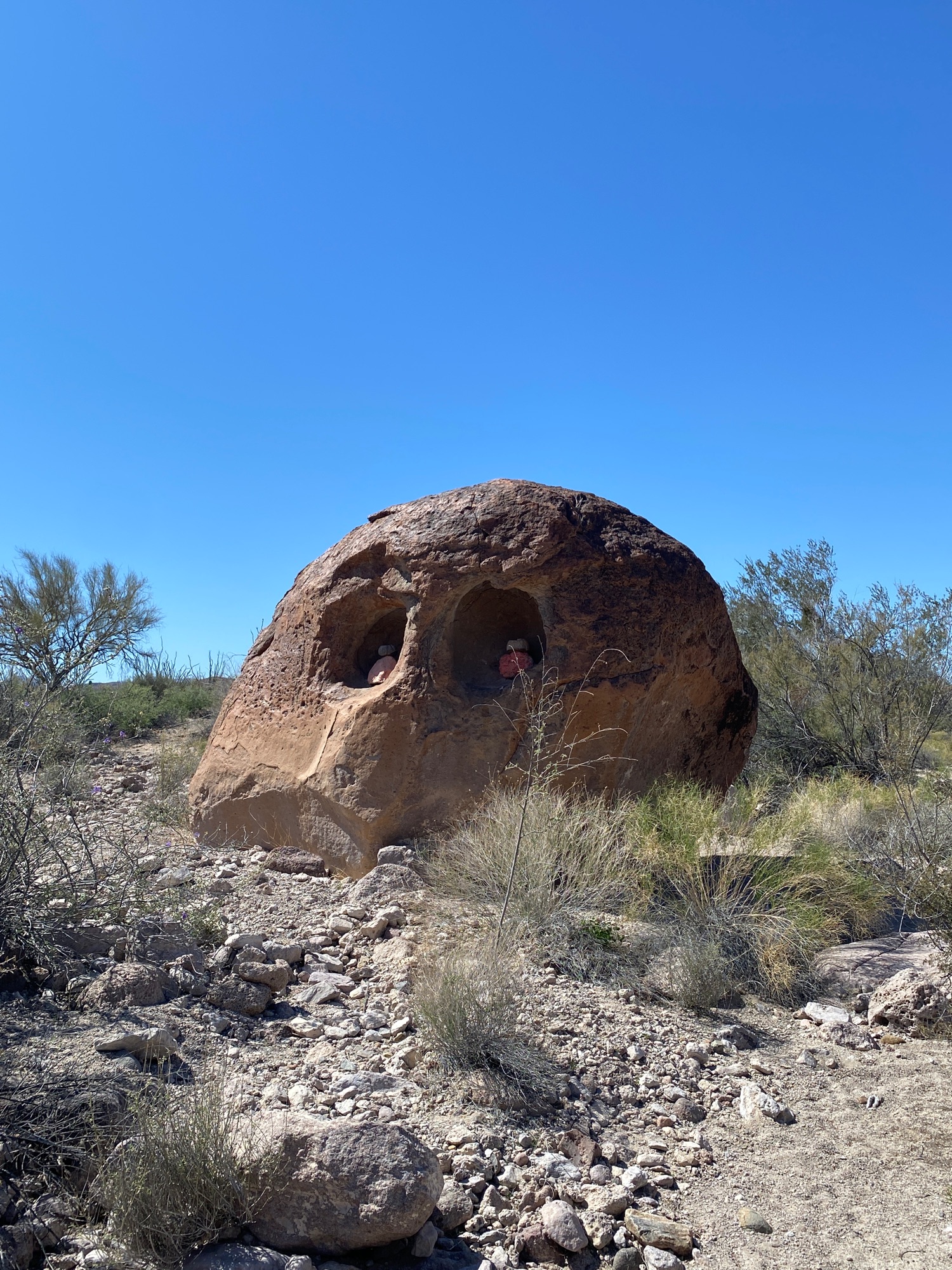
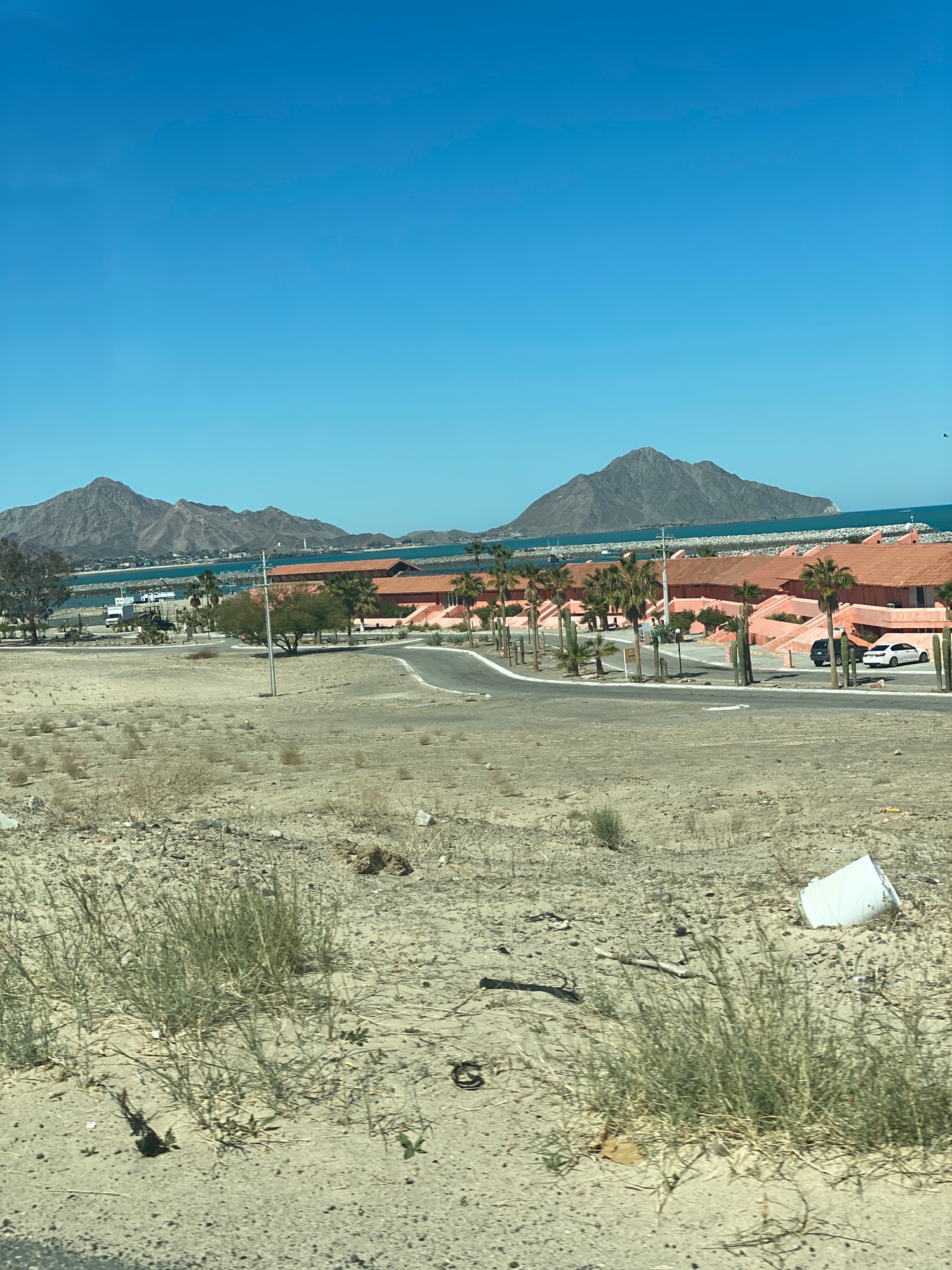
Mar. 3, 2021 Pumpkin Rock Run
Moving map & photos: https://www.relive.cc/view/vMq5733zLQO
Lots of Jeeps on this one... the desert west of Shell Island:
|
|
|
David K
Honored Nomad
        
Posts: 65443
Registered: 8-30-2002
Location: San Diego County
Member Is Offline
Mood: Have Baja Fever
|
|
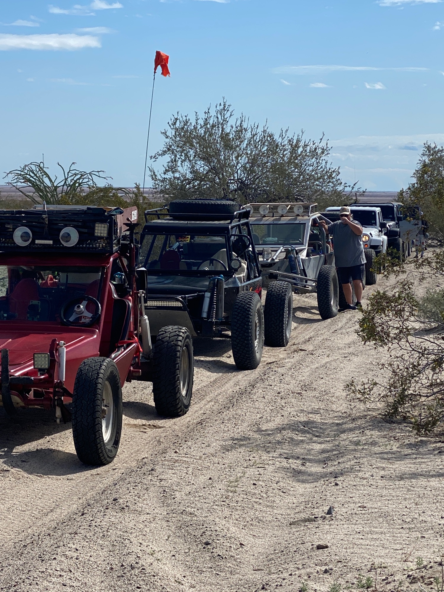
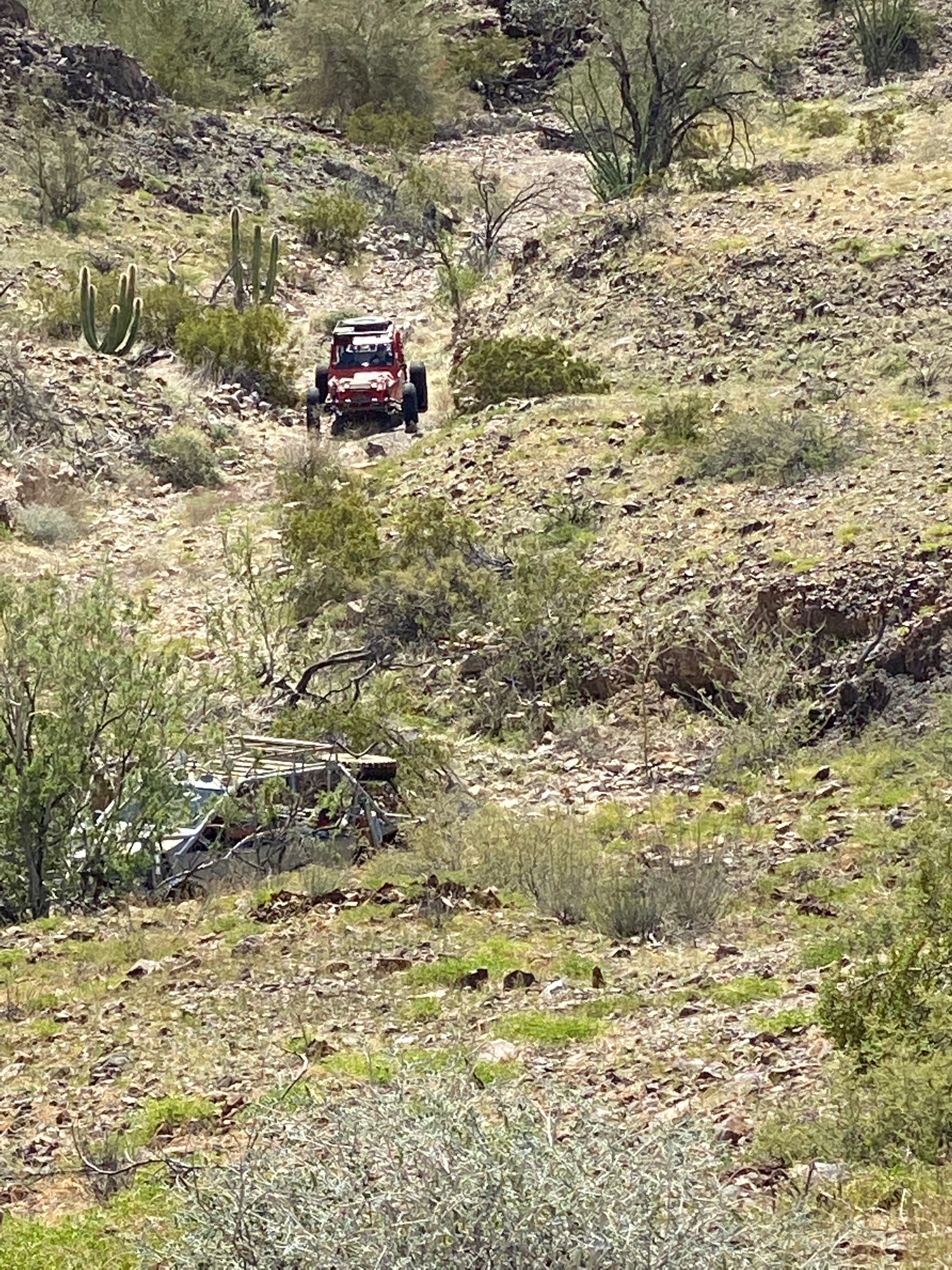
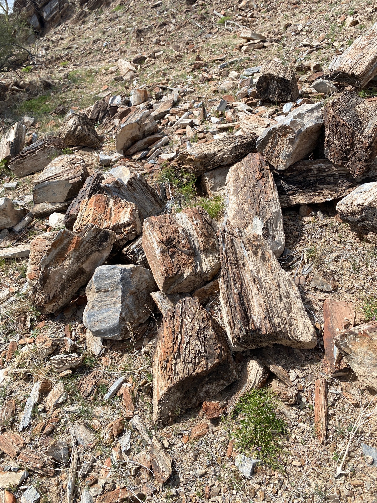
Quarry Quick Desert Run 3-12-21
Moving map with music and photos/ videos: https://www.relive.cc/view/v7O9V2koKL6
|
|
|
David K
Honored Nomad
        
Posts: 65443
Registered: 8-30-2002
Location: San Diego County
Member Is Offline
Mood: Have Baja Fever
|
|
Yesterday's run was to Diablo Canyon. Lot's of great photos... I will add some of them and the Relive map later!
|
|
|
PaulW
Ultra Nomad
    
Posts: 3113
Registered: 5-21-2013
Member Is Offline
|
|
Some details for the trip
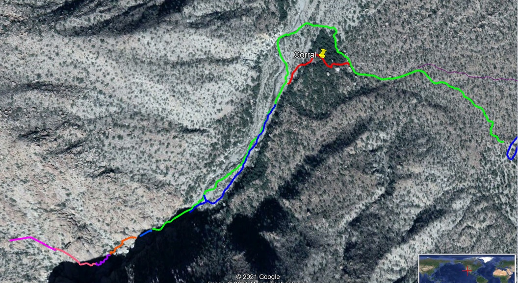
Diablo Hike 24 rigs drove and 18 folks walked to the first waterfall. Distance on the picture for the green path is almost 1 mile. The corral path
would be slightly shorter. Slow going walking on creek bottom boulders.
The GPS path left of the Green one is garbage due to satellite view in the canyon with close vertical walls. Maybe a few more tenths of a mile
distance?
The path via the corral is well marked with fagging. The green path was not used.
BTW, there is a good road bypassing the often locked gated road north side of the ranchers corral. Actually that road is the traditional road before
the ranch made a new road with gate. And that road is shown on the Murdock GPS map.
[Edited on 3-21-2021 by PaulW]
[Edited on 4-3-2021 by BajaNomad]
|
|
|
David K
Honored Nomad
        
Posts: 65443
Registered: 8-30-2002
Location: San Diego County
Member Is Offline
Mood: Have Baja Fever
|
|
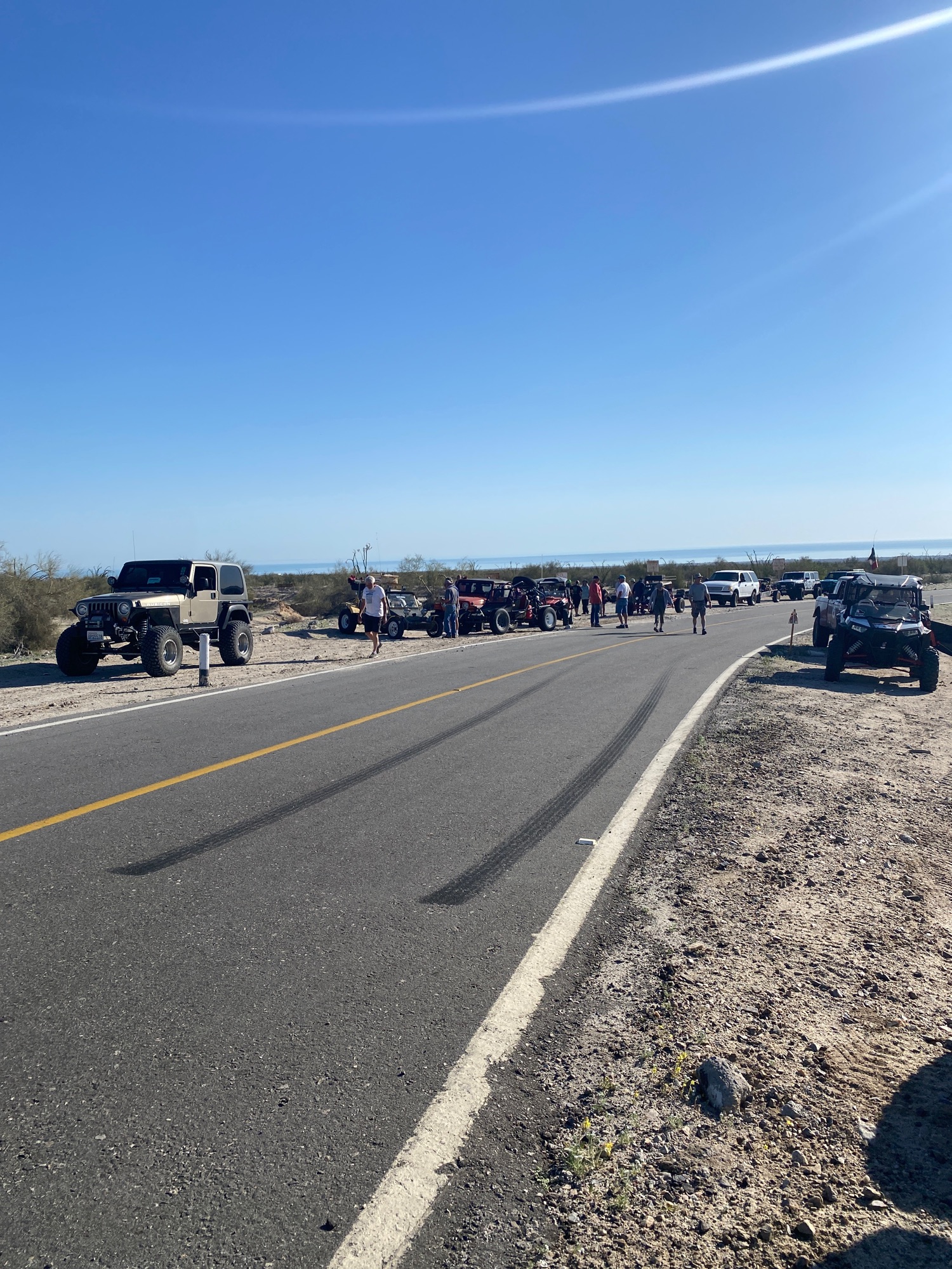
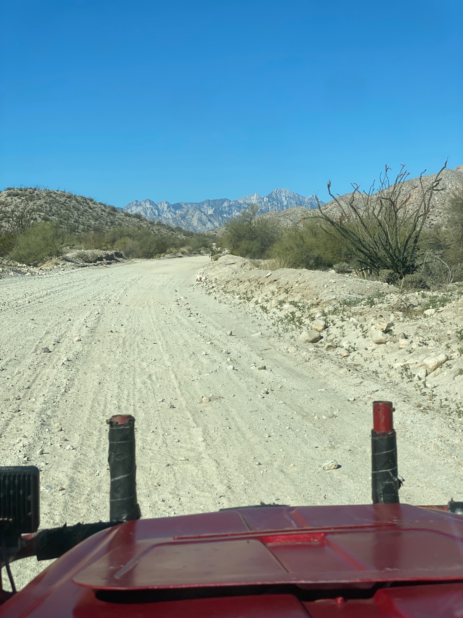
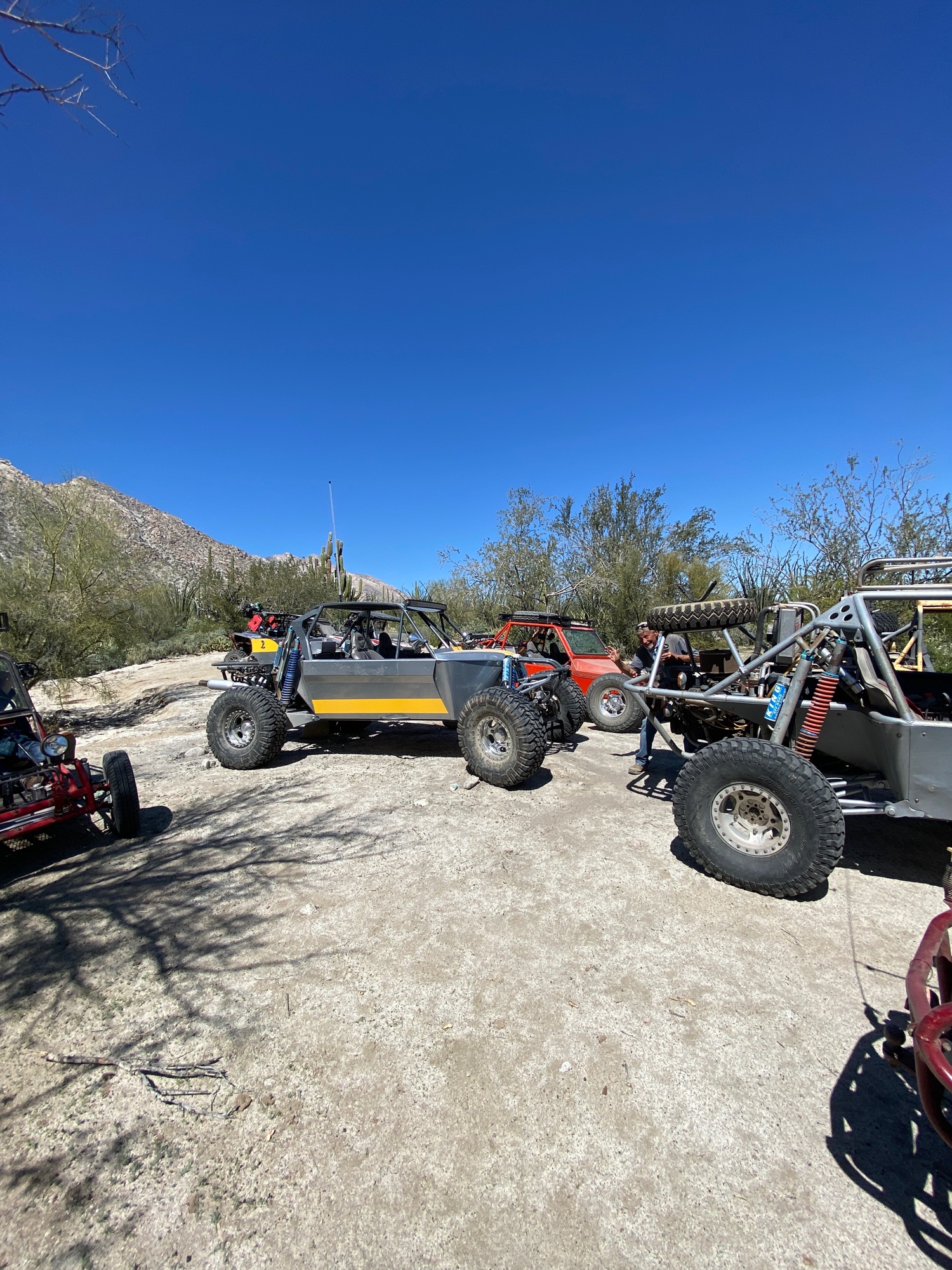
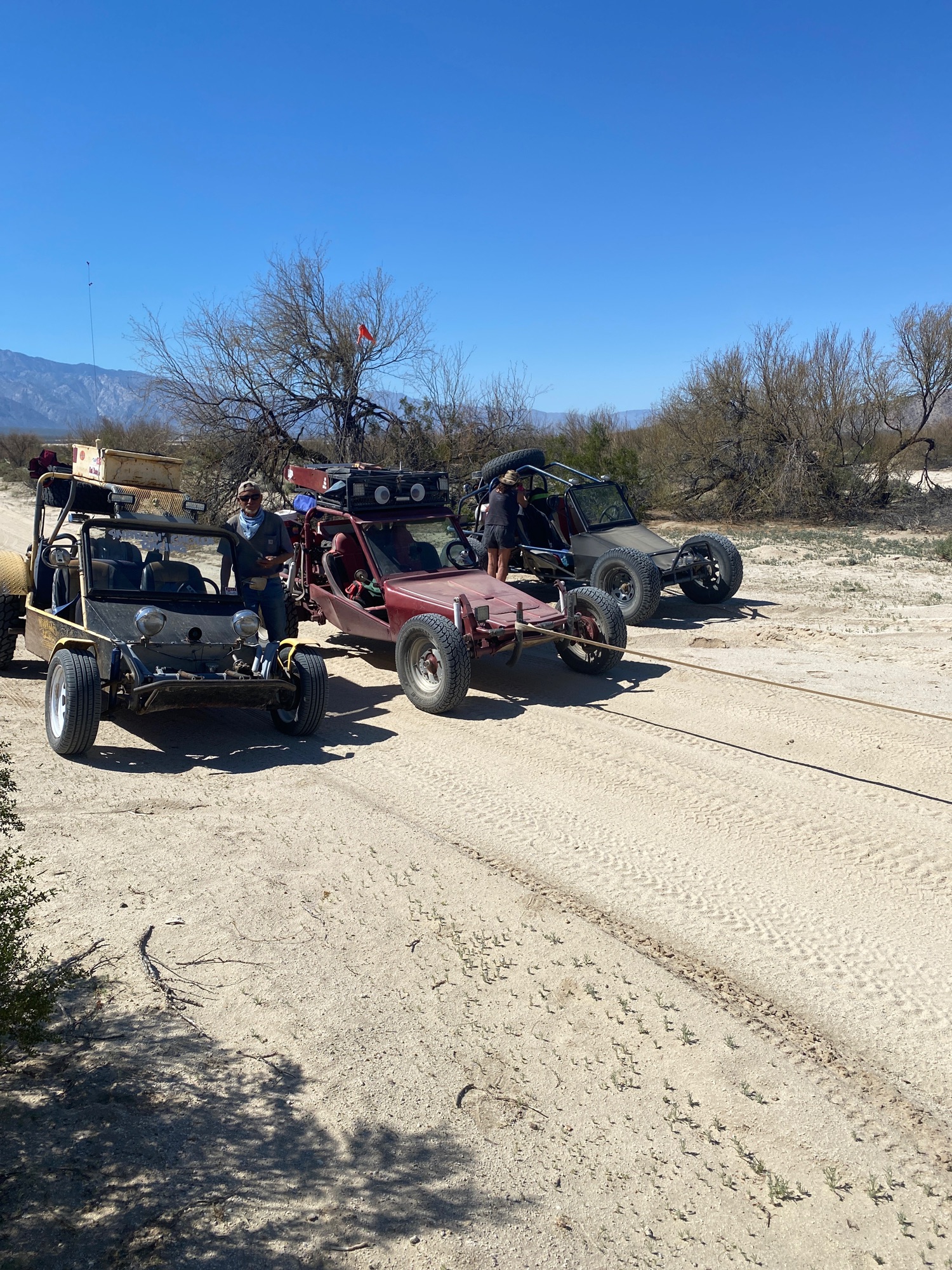
3-19-21, Diablo Canyon
Here is the Relive moving map and photos... going only to the end of the road. Poor Wornout needed to be towed!
https://www.relive.cc/view/vKv27339X4O
|
|
|
David K
Honored Nomad
        
Posts: 65443
Registered: 8-30-2002
Location: San Diego County
Member Is Offline
Mood: Have Baja Fever
|
|
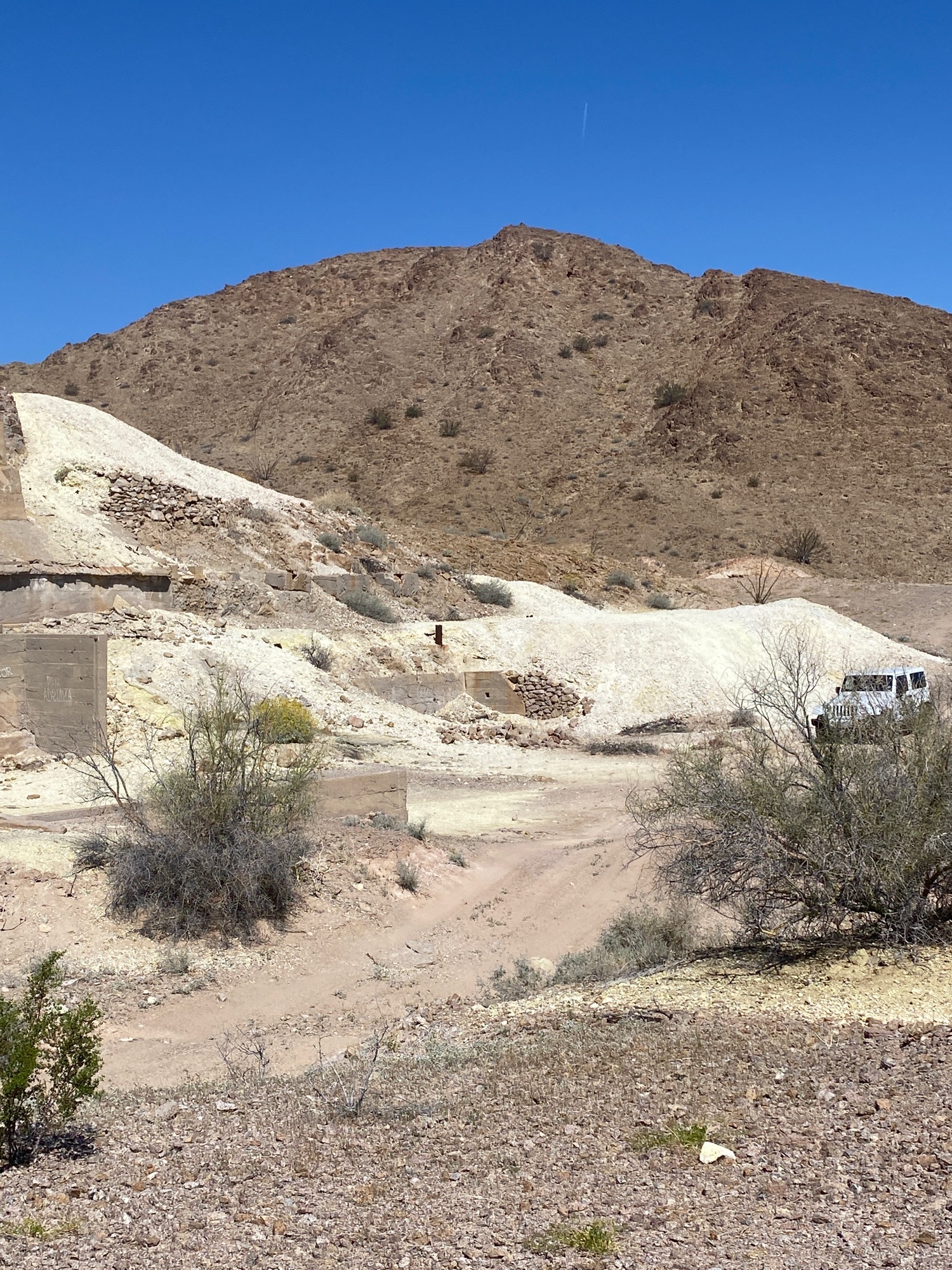
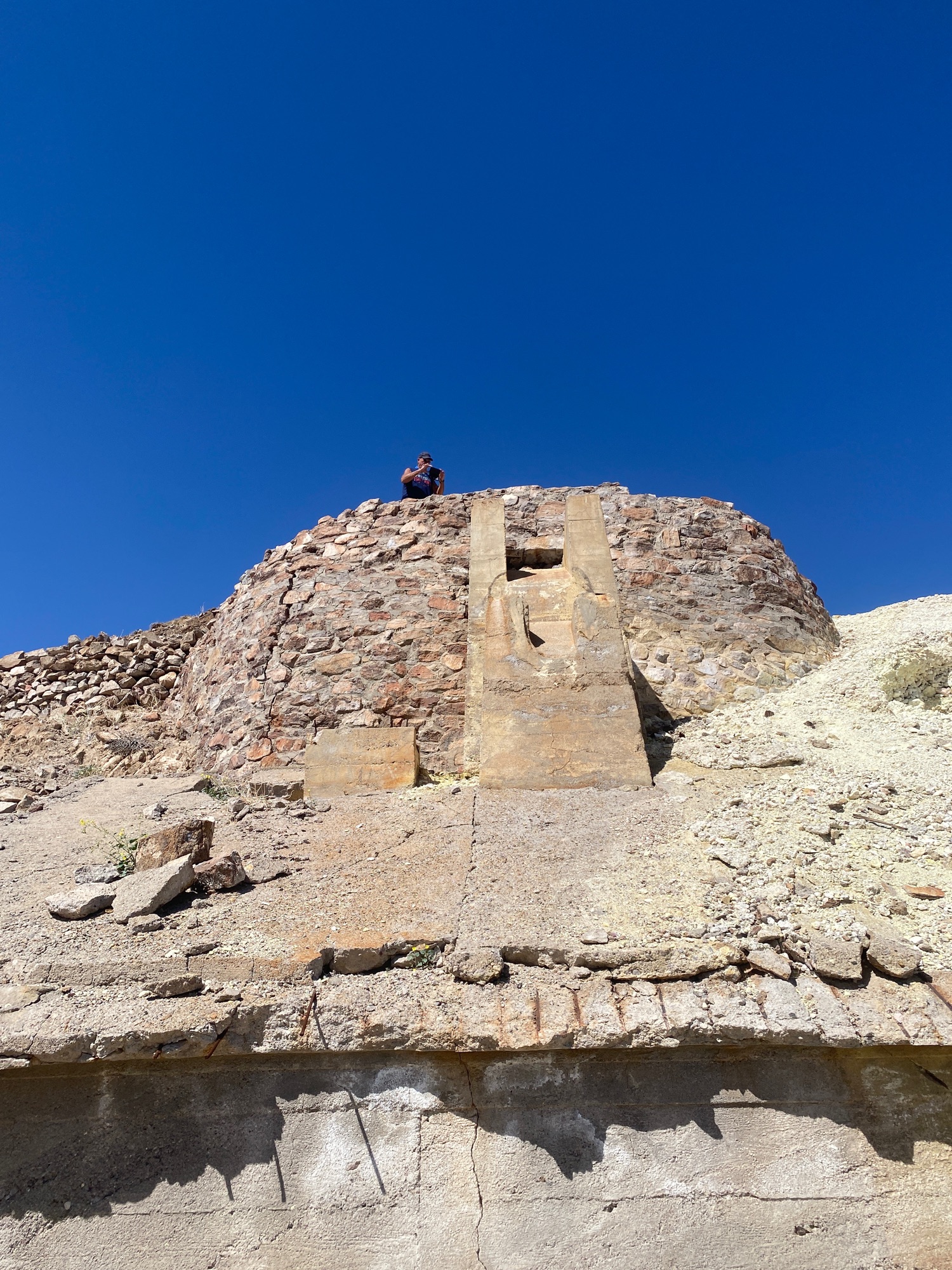
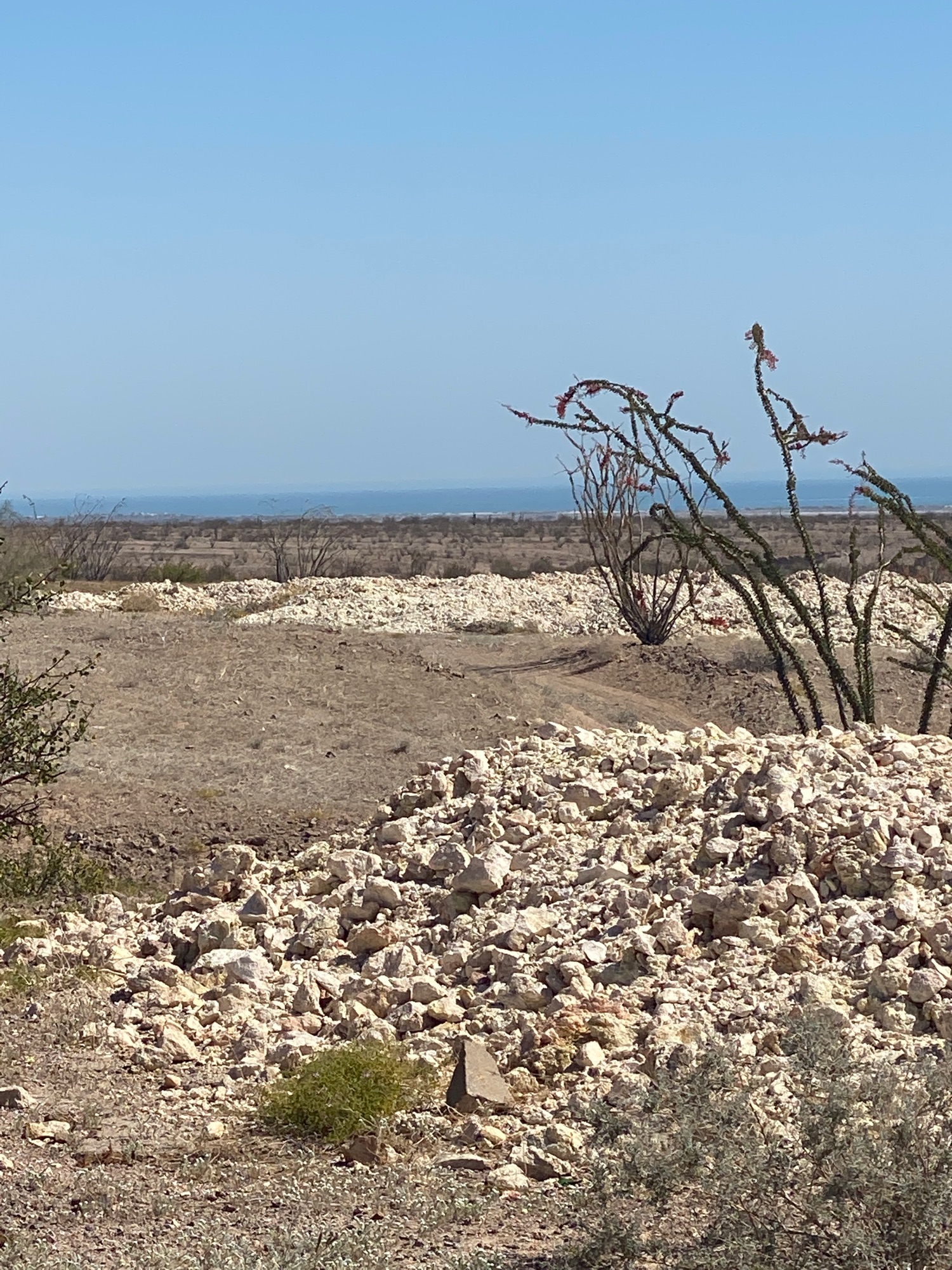
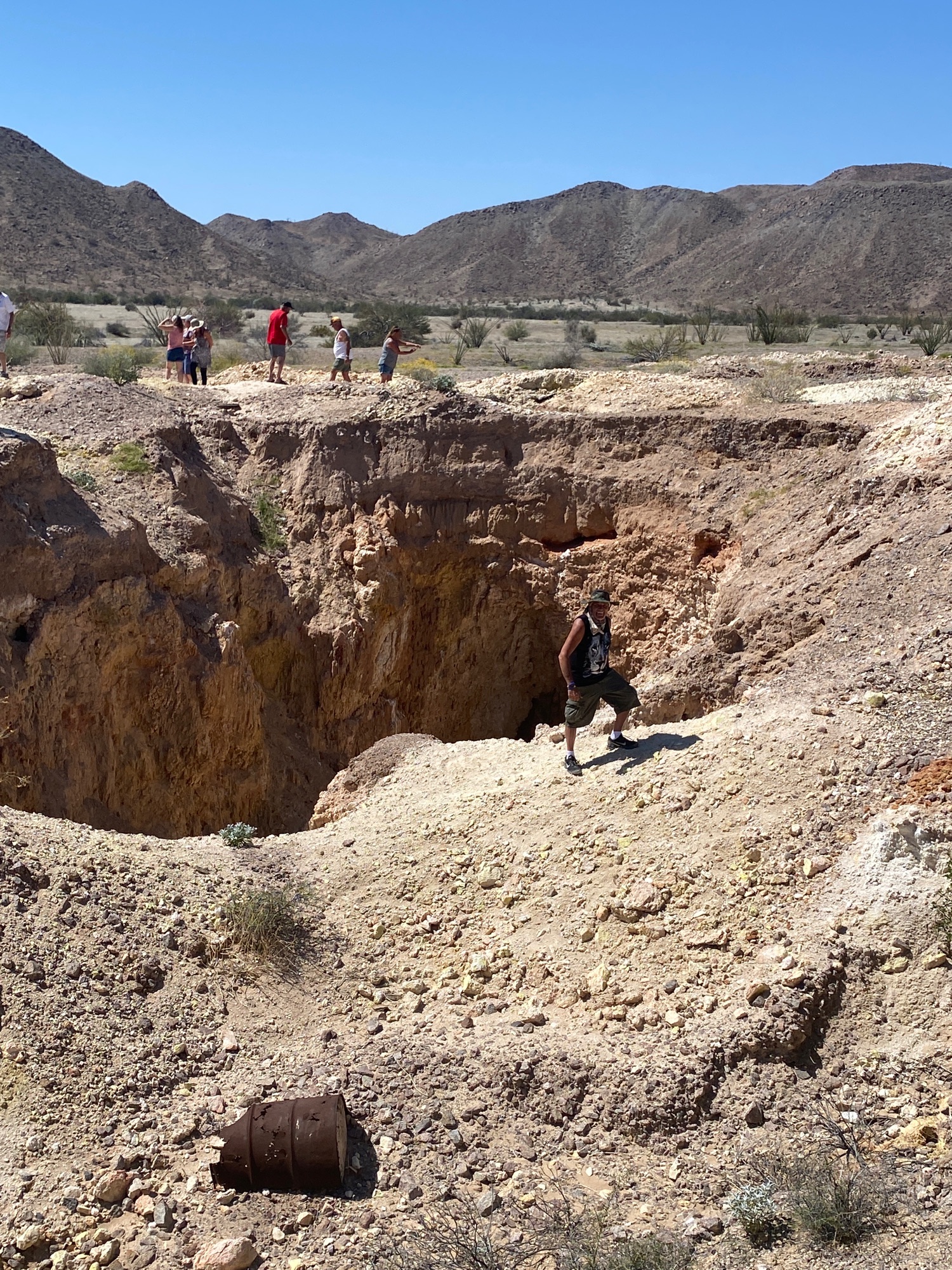
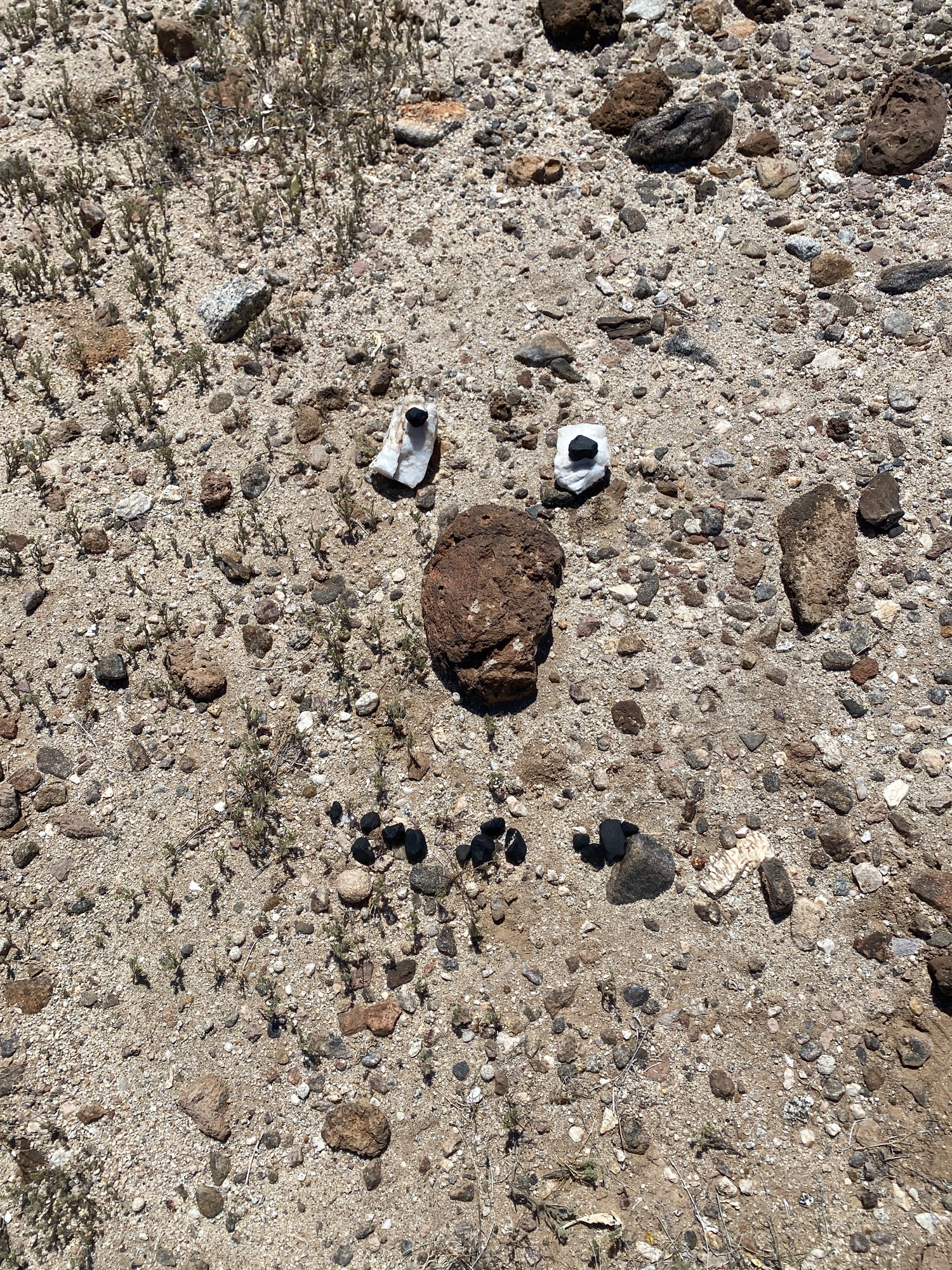
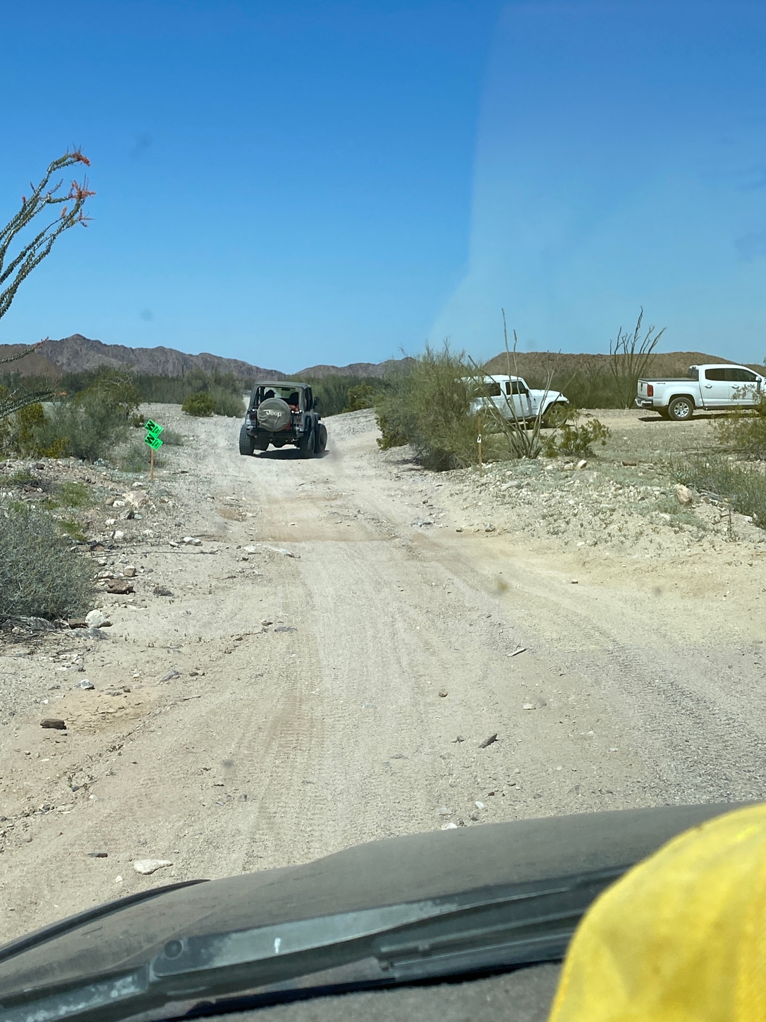
4-2-21 Sulfur Mine and Apache Tears
Watch the maps and see the photos: https://www.relive.cc/view/vXOdK17gz4v
A few of the photos:
|
|
|
David K
Honored Nomad
        
Posts: 65443
Registered: 8-30-2002
Location: San Diego County
Member Is Offline
Mood: Have Baja Fever
|
|
Apr. 29, 2021: Valle Chico Exploring
See the photos and living moving map: https://www.relive.cc/view/v26MGQN8D3v
|
|
|
Udo
Elite Nomad
     
Posts: 6364
Registered: 4-26-2008
Location: Black Hills, SD/Ensenada/San Felipe
Member Is Offline
Mood: TEQUILA!
|
|
  
Udo
Youth is wasted on the young!
|
|
|
David K
Honored Nomad
        
Posts: 65443
Registered: 8-30-2002
Location: San Diego County
Member Is Offline
Mood: Have Baja Fever
|
|
A recent report I got said the track had vanished going to it, lack of traffic what with Covid and all...
|
|
|
PaulW
Ultra Nomad
    
Posts: 3113
Registered: 5-21-2013
Member Is Offline
|
|
Relive link works fine - not vanished
Wornout’s Sand Canyon and Park at Matomi 5/20
https://www.relive.cc/view/vrqodo14XKv
A favorite drive that heads west from Hwy5 at km54.2+ and has a hard spot shortly after the hwy exit. Then the track proceeds up Sand Canyon to
Matomi. Another name for the arroyo km54.2+ used by some folks is “Terry”.
Once in Matomi the route is up Arroyo Las Blancas to its end at the fragile arch. (both tracks are shown on the Alamac). Just south of Matomi are the
remains of the dedication event when the area up Las Blanca was dedicated as a notional park called “Canelo”. Named after the prominent peak
called Picacho Canelo
[Edited on 5-3-2021 by PaulW]
|
|
|
David K
Honored Nomad
        
Posts: 65443
Registered: 8-30-2002
Location: San Diego County
Member Is Offline
Mood: Have Baja Fever
|
|
I didn't mean the link didn't work... I meant that the road (track) to the arch had vanished... or at least couldn't be seen, per the report.
|
|
|
PaulW
Ultra Nomad
    
Posts: 3113
Registered: 5-21-2013
Member Is Offline
|
|
BTW I just edited my post for the local name which is Terry not Henry.
Report from where? I don’t get reports. Maybe because I an not a relive user? Just curious.
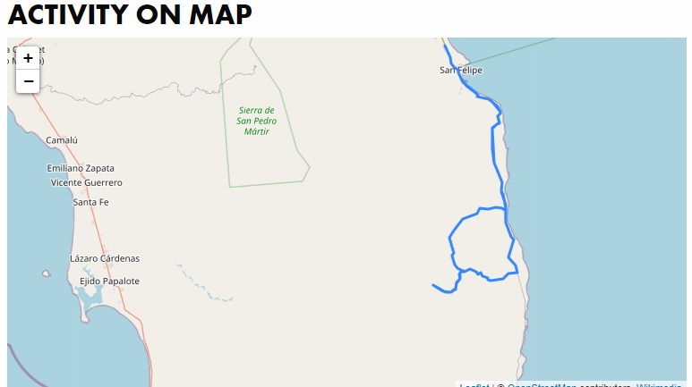
The Relive link still shows the track from Matomi to the arch at the end.
|
|
|
David K
Honored Nomad
        
Posts: 65443
Registered: 8-30-2002
Location: San Diego County
Member Is Offline
Mood: Have Baja Fever
|
|
Paul, I was messaged by a friend who tried to get to the arch. He lost the road but it was raining so maybe that is why. I first understood him to say
the track to the arch was no longer visible, but in a follow up, he thinks he just missed a turn it took. He will try again in the future.
|
|
|
| Pages:
1
2
3
4
5 |

