| Pages:
1
2
3
4
5 |
PaulW
Ultra Nomad
    
Posts: 3113
Registered: 5-21-2013
Member Is Offline
|
|
In that case if you still have your hand drawn map can you post it?
Thanks. Paul
========
Quote: Originally posted by David K  | The '74 program only has the racers, no maps like the programs after. This was a quickly produced race, but a lot of details went into the planning.
Mickey Thompson had made several visual checkpoints in addition to the full stop checkpoints. Another unique feature was the mandatory 1-hour downtime
at Mike's Sky Rancho.
The course went from Ensenada to Ojos to El Rayo to Santa Catarina to Valle de Trinidad to near San Vicente to Camalu to Mike's Sky Rancho to San
Matias and back to Ensenada, via Ojos Negros on the same route the race uses outbound, (from Santa Catarina to Ensenada). I drew it out on an AAA map.
El Rayo was Checkpoint 1 & 6
Valle de Trinidad was Checkpoint 2 &5
Camalu was Checkpoint 3
Mike's was Checkpoint 4. |
|
|
|
David K
Honored Nomad
        
Posts: 65434
Registered: 8-30-2002
Location: San Diego County
Member Is Offline
Mood: Have Baja Fever
|
|
Quote: Originally posted by PaulW  | In that case if you still have your hand drawn map can you post it?
Thanks. Paul
========
Quote: Originally posted by David K  | The '74 program only has the racers, no maps like the programs after. This was a quickly produced race, but a lot of details went into the planning.
Mickey Thompson had made several visual checkpoints in addition to the full stop checkpoints. Another unique feature was the mandatory 1-hour downtime
at Mike's Sky Rancho.
The course went from Ensenada to Ojos to El Rayo to Santa Catarina to Valle de Trinidad to near San Vicente to Camalu to Mike's Sky Rancho to San
Matias and back to Ensenada, via Ojos Negros on the same route the race uses outbound, (from Santa Catarina to Ensenada). I drew it out on an AAA map.
El Rayo was Checkpoint 1 & 6
Valle de Trinidad was Checkpoint 2 &5
Camalu was Checkpoint 3
Mike's was Checkpoint 4. |
|
It is very shredded (torn at folds) plus I added a couple more Score races routes on the same map. Still, I will scan it for you... and post it in a
new thread in the Off Roading forum (give me a couple days, then bug me if I don't post it).
|
|
|
David K
Honored Nomad
        
Posts: 65434
Registered: 8-30-2002
Location: San Diego County
Member Is Offline
Mood: Have Baja Fever
|
|
OK, back to Baja in the 60's and 70's...
As I said at the start of this thread, the slides are not in order, but I will try and group them per subject or area, if possible.
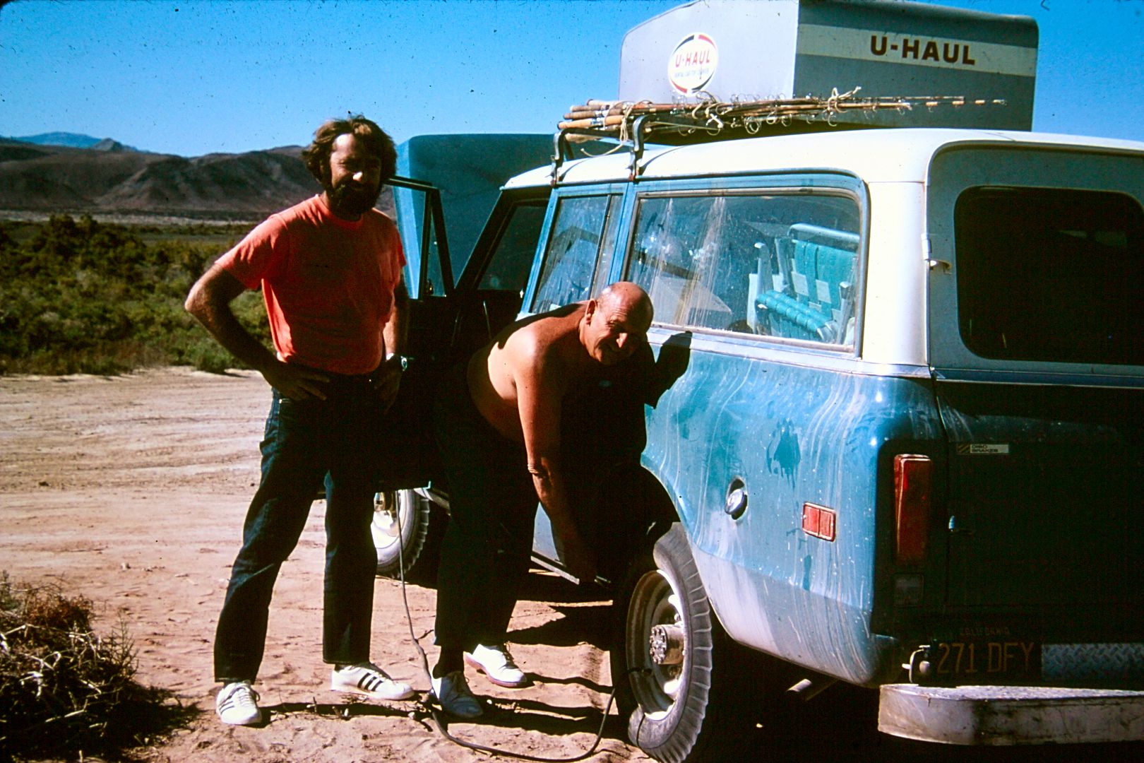
Airing up the tires at Gonzaga Bay.
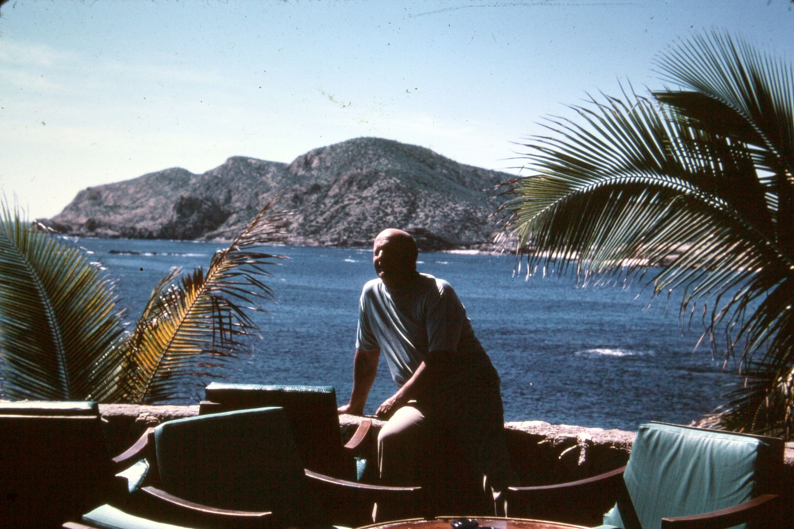
My dad at a Los Cabos resort, maybe Palmilla?
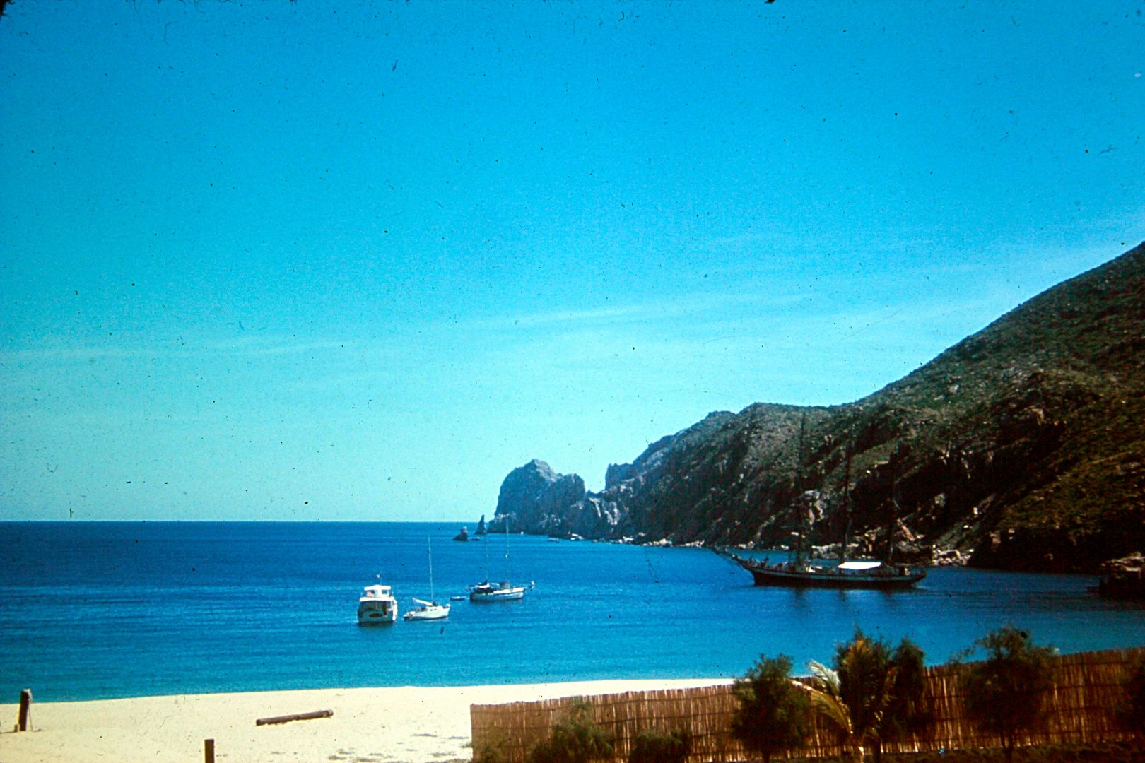
The beach at Cabo San Lucas, 1972
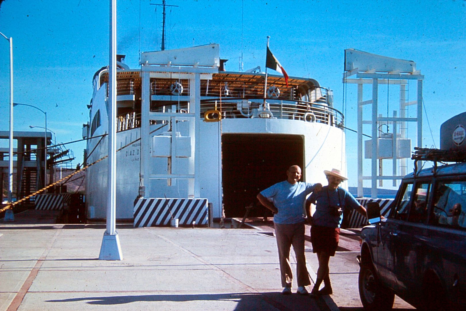
Getting on the ferry to cross to the mainland in 1972. I am not sure if this is La Paz or Santa Rosalia... I am thinking it was La Paz. The Santa
Rosalia ferry to Guaymas did begin in '72.
|
|
|
David K
Honored Nomad
        
Posts: 65434
Registered: 8-30-2002
Location: San Diego County
Member Is Offline
Mood: Have Baja Fever
|
|
Spring Break, 1974
At 16 1/2, my first 'solo' (no parents) trip to Mexico! A high school friend convinced his parents it would be safe (my parents and I helped) for
us... and it was. We did have a little bit of a run-in with some guys at our first camp, at Mission San Fernando... a story for later...
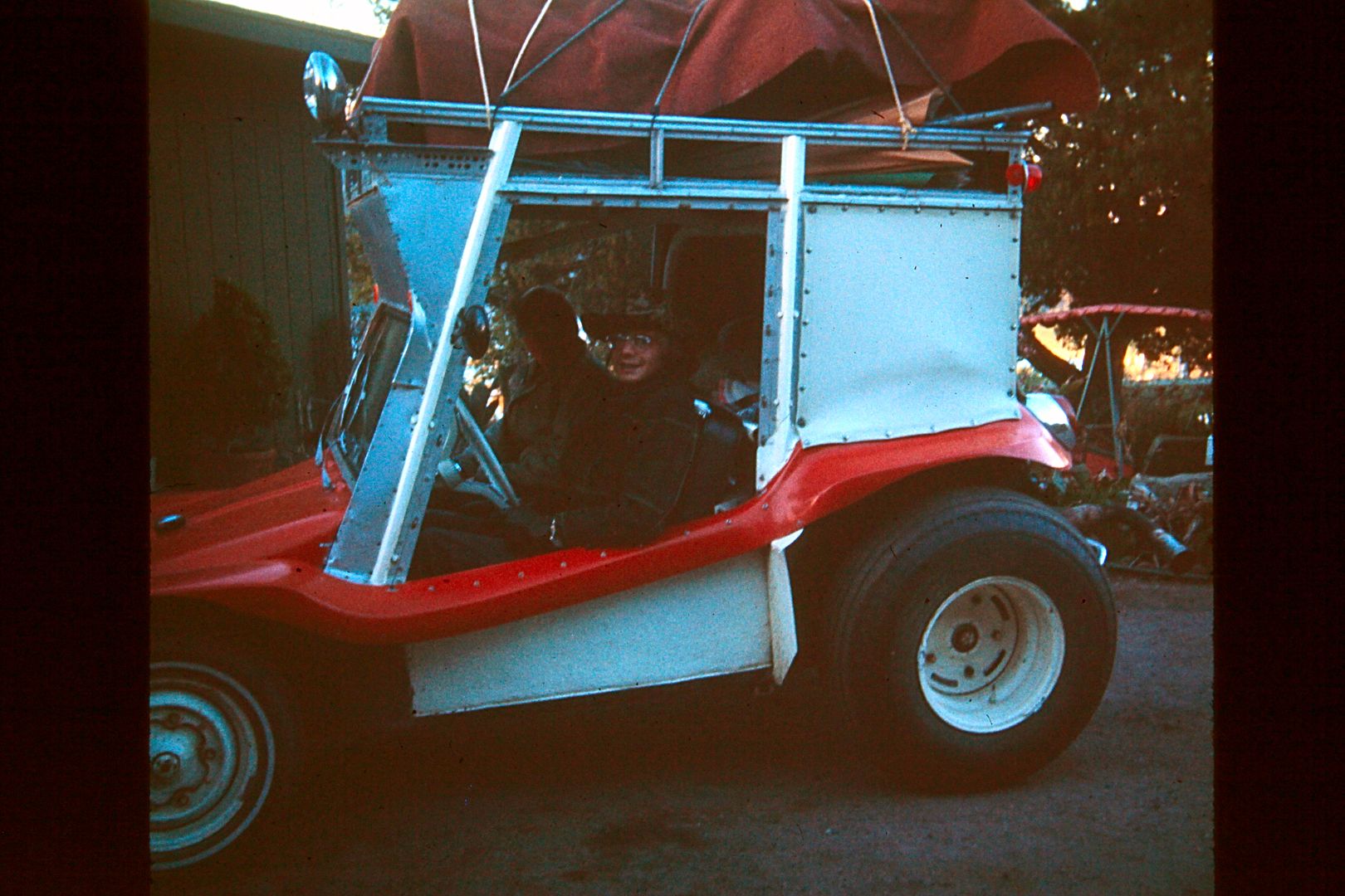
My dune buggy packed up for my first Baja trip without parents. My fellow 16 year old high school friend Pat Goforth and I about to leave my home for
a week in Baja (to and through: Ensenada, Mission San Fernando, El Marmol, Calamajue, Gonzaga, San Felipe, and back). Easter Vacation, 1974.
We used my family's Myers Manx VW powered dune buggy (street legal), which became my first car. It had a roof and rack for camping gear.
The Baja highway was only 5 months old... and south of San Quintin, very narrow (still is, most of the 1973 paved section)...
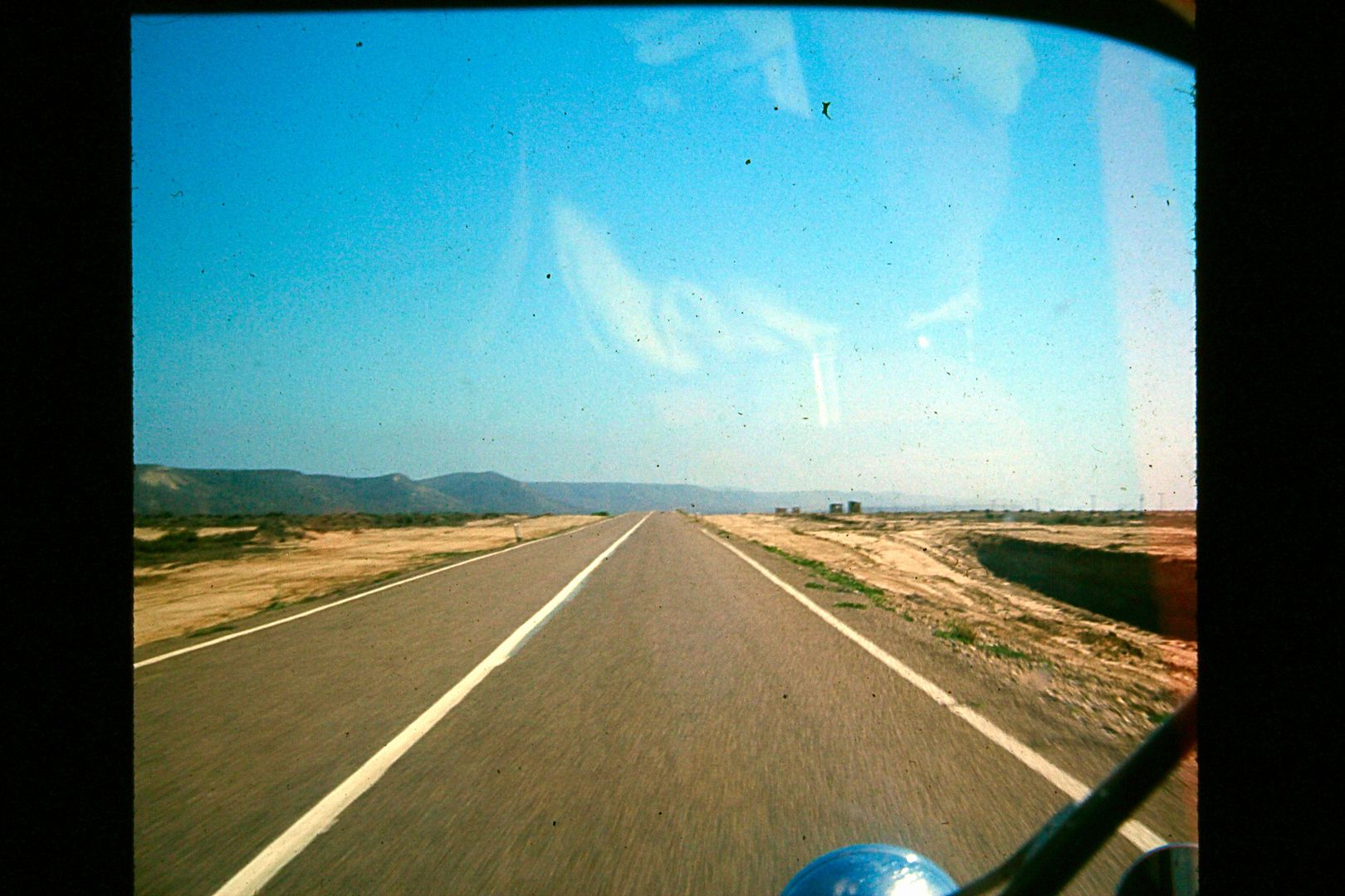
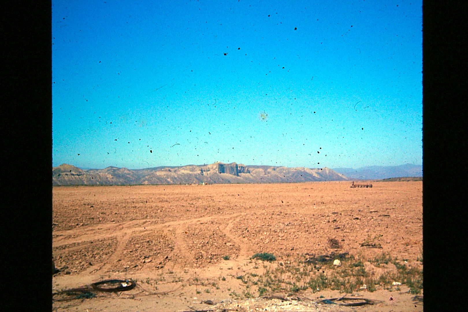
The Old Main Road to La Paz passed closer to El Castillo (the cliff across the Rosario valley, named The Castle) than does Hwy. 1.
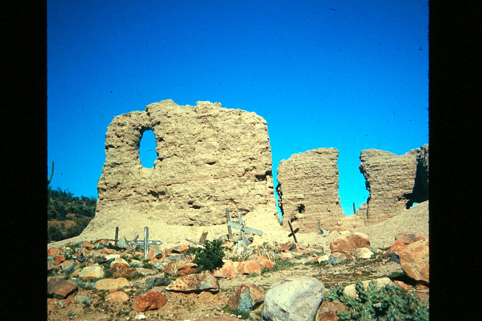
Junípero Serra's first California mission was right here at Velicatá. He named it San Fernando on May 14, 1769 (two months before founding the
mission at San Diego).
The mission ruin was cool... but the petroglyphs, less than a mile away were super neat to find. I read about them, but were not sure exactly where to
go from the mission...
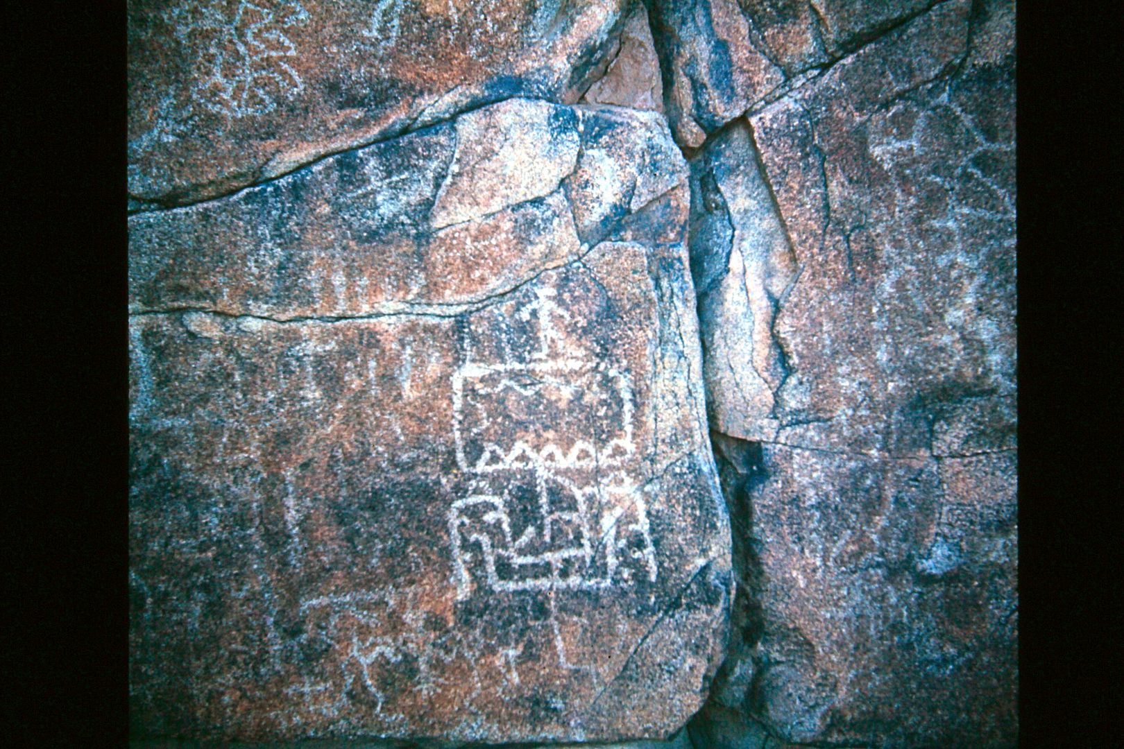
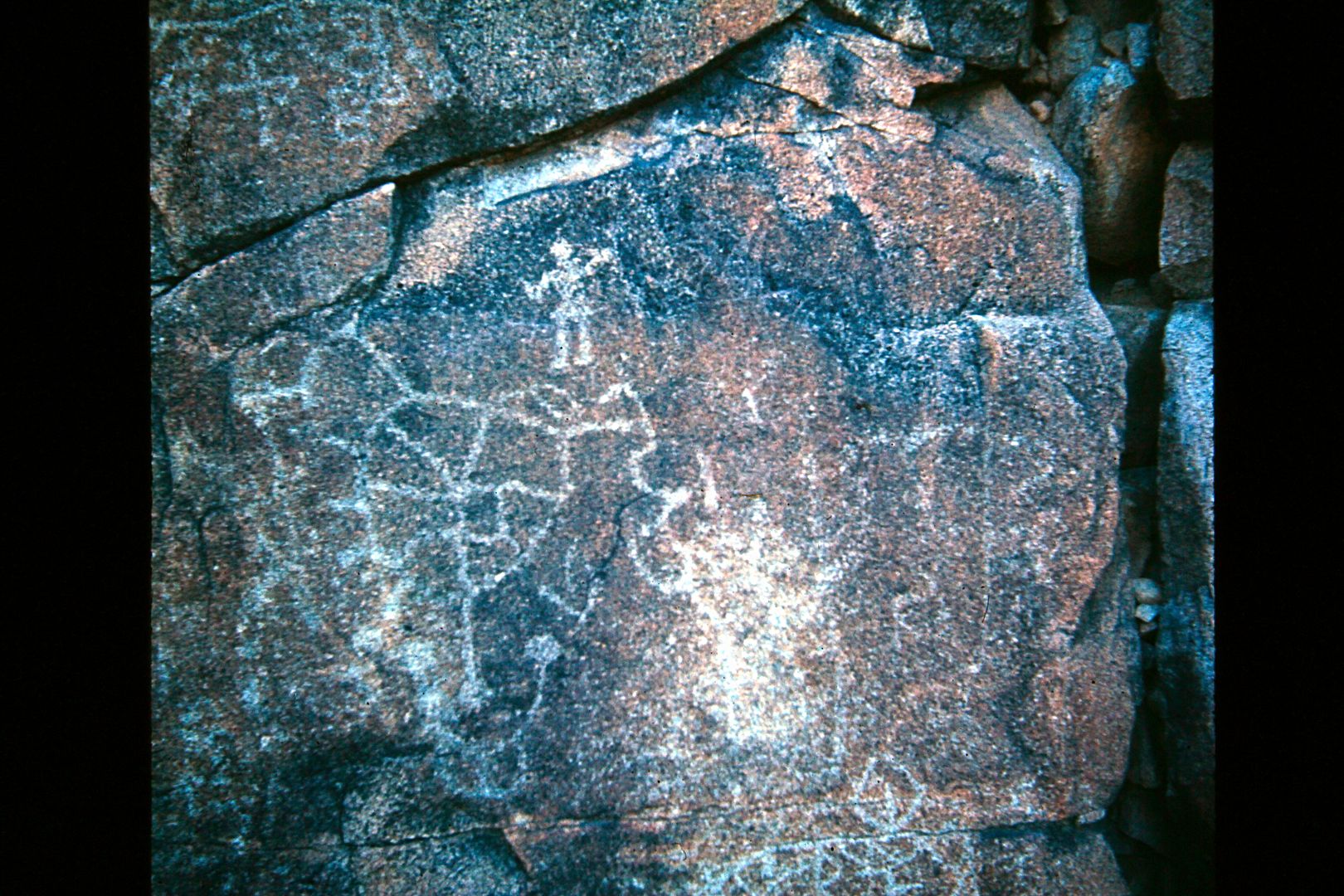
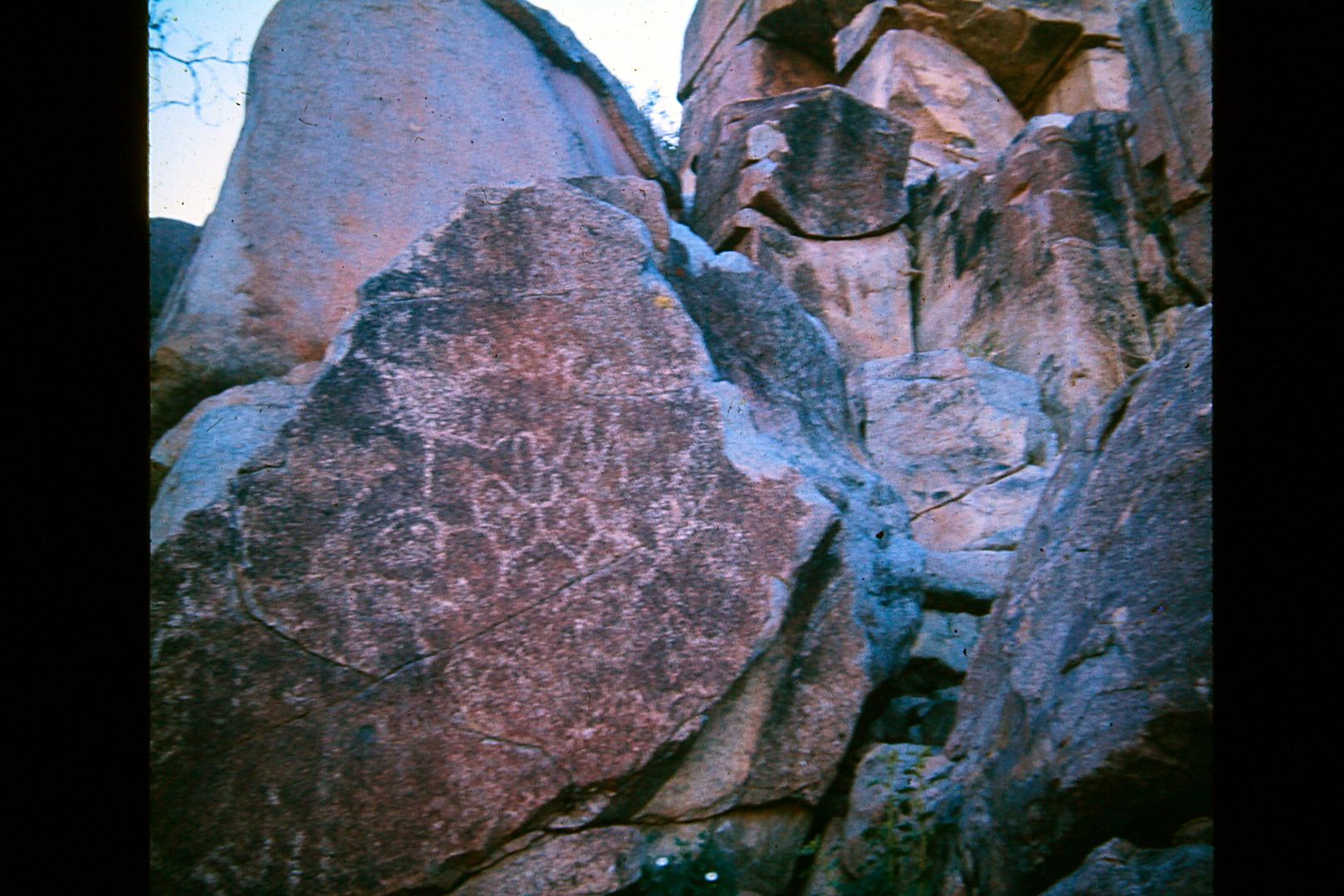
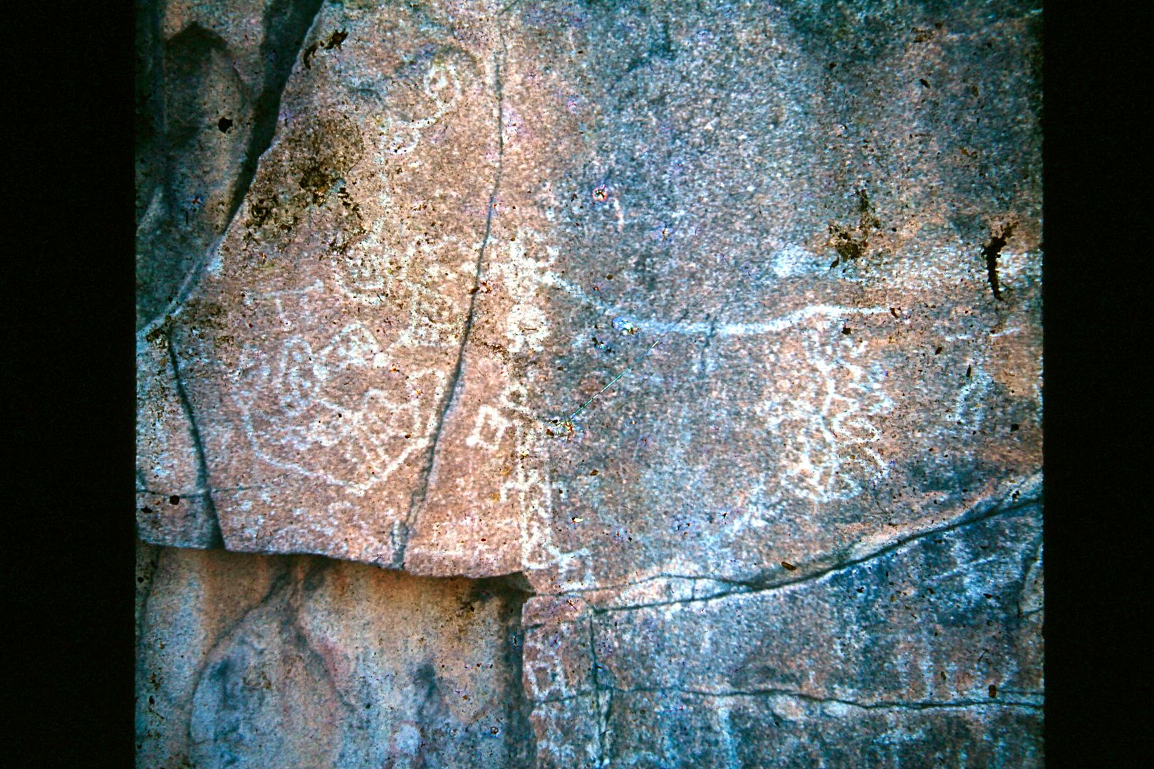
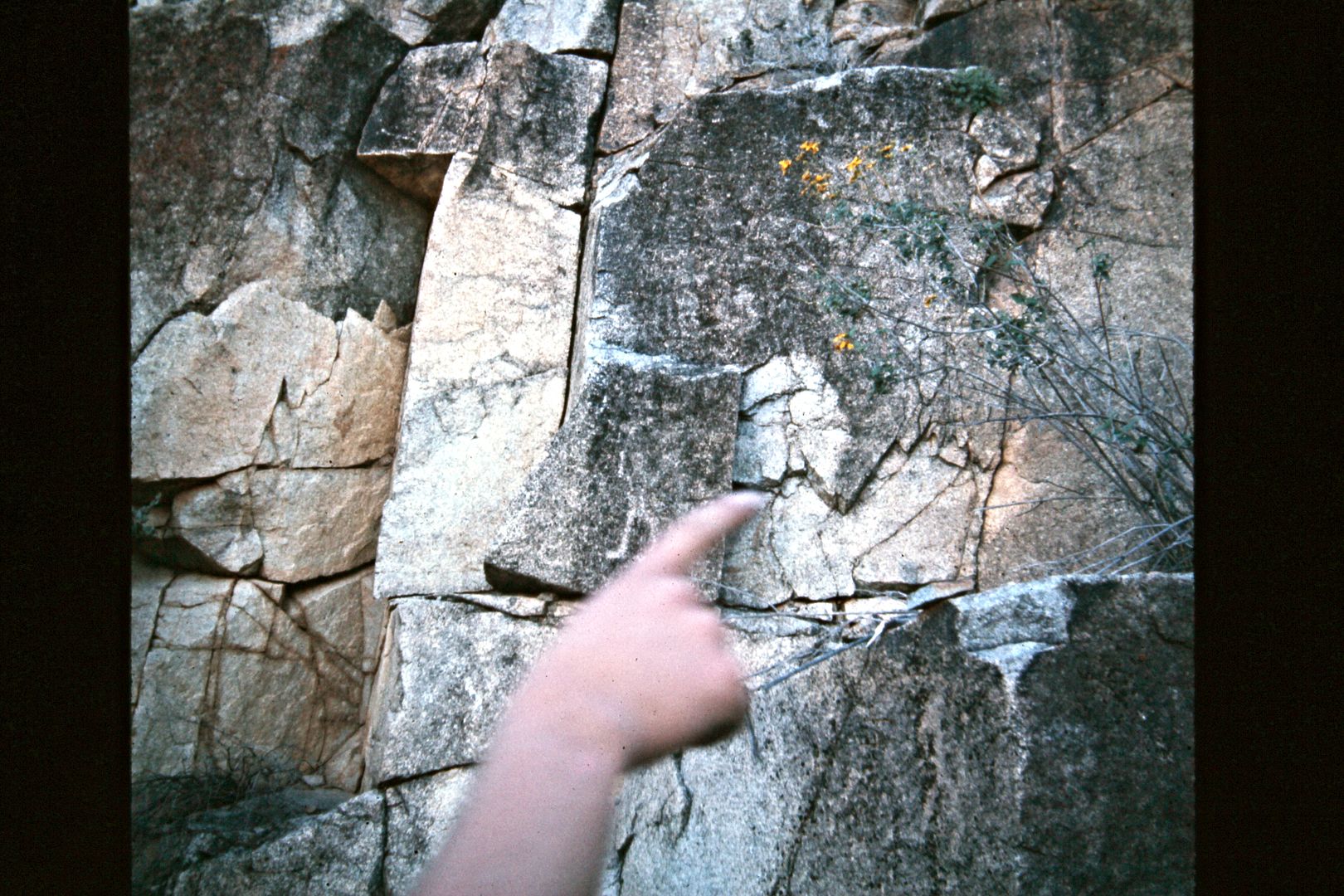
Just as I was taking the picture, Pat wanted to point one out to me. Just on the left of Pat's finger, note the human form.
The next day, we drove to El Mármol onyx mine and then to try and find El Volcán where onyx is under construction, by Nature.
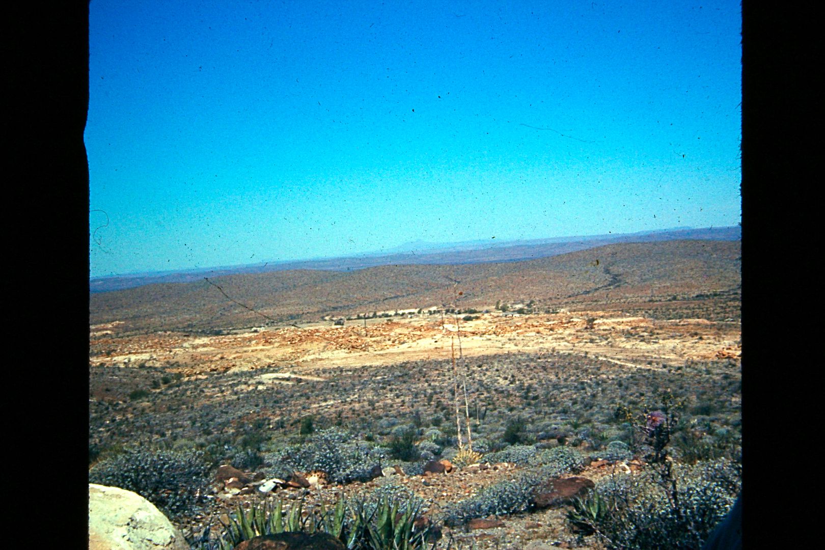
The view back and down to El Mármol from the less-used road on south. You can see Cerro Matomí way off on the horizon.
More to come!
[Edited on 1-7-2021 by David K]
|
|
|
ehall
Super Nomad
   
Posts: 1906
Registered: 3-29-2014
Location: Buckeye, Az
Member Is Offline
Mood: It's 5 o'clock somewhere
|
|
We had one of those tire pumps. It didn't draw in fresh air that was a check valve in the line that held the air in the tire when the engine wasn't on
compression stroke. I am surprised we had no explosions.
|
|
|
David K
Honored Nomad
        
Posts: 65434
Registered: 8-30-2002
Location: San Diego County
Member Is Offline
Mood: Have Baja Fever
|
|
Quote: Originally posted by ehall  | | We had one of those tire pumps. It didn't draw in fresh air that was a check valve in the line that held the air in the tire when the engine wasn't on
compression stroke. I am surprised we had no explosions. |
The pump actually advertised it pumps clean air, and I even breathed it to prove to a skeptic that thought the same as you. That silver thing that
screwed into the spark plug port was basically working like two check valves (one that drew air in-line and the other to prevent air from escaping
from the tire). I suppose there must be something online about those gadgets? Dick Cepek sold thousands. The technical problem is for the few minutes
you are using it, your engine is running on one fewer cylinders (at idle only), and uncombusted air/ fuel mix is being discharged. I used it on my 4
cylinder VW and Subarus, as well as my V-8 Jeep, never a problem.
|
|
|
ehall
Super Nomad
   
Posts: 1906
Registered: 3-29-2014
Location: Buckeye, Az
Member Is Offline
Mood: It's 5 o'clock somewhere
|
|
1 1/2 intake valve or 1/4 hose. Which would have less restriction? Would be very interesting to test one of these. I have access to air monitors. I
will work on it. Great pictures. You have had some awesome trips. Very lucky to have parents that introduced you to baja at a young age.
|
|
|
David K
Honored Nomad
        
Posts: 65434
Registered: 8-30-2002
Location: San Diego County
Member Is Offline
Mood: Have Baja Fever
|
|
Quote: Originally posted by ehall  | | 1 1/2 intake valve or 1/4 hose. Which would have less restriction? Would be very interesting to test one of these. I have access to air monitors. I
will work on it. Great pictures. You have had some awesome trips. Very lucky to have parents that introduced you to baja at a young age.
|
Right... fun stuff.

How the air pump works.
The Spark Plug Air Pump utilises the induction and compression strokes of the normal four-stroke engine cycle. On the induction stroke air enters the
cylinder through the breather slots in the pump. This atmospheric pressure neutralises the suction of the downward motion of the piston and prevents
the normal entry of petrol mixture into the cylinder through the open inlet valve of the engine. On the compression stroke both inlet and exhaust
valves are closed as usual. Meanwhile, compression of the air by the piston closes the seal over the breather slots and causes the ball valve to open,
allowing the compressed, clean air to pass through to the tyre.
A reasonably good engine run at idling speed will pump 80lb pressure and up. More than one pump can be used from one engine when greater volume, not
pressure, is required. The pump will do no harm and operates best when the engine is just running slowly.


OK, in review of stuff I have not looked at in 35+ years, it seems that the induction of outside air into the cylinder prevents the negative pressure
that would otherwise draw in the fuel (air/gas mix )from the carburetor.
I read another forum, where the posted thought as I had, that the device screwed into the spark plug port was doing all the air pumping and the engine
stroke simply drove the device pump. Unless there is another version? In any case, back in the days of carburetors, the thing did pump clean, dry air
into tires.
So, with a modern electronic port fuel injection, that wouldn't work at putting clean air into tires?
[Edited on 10-20-2015 by David K]
|
|
|
David K
Honored Nomad
        
Posts: 65434
Registered: 8-30-2002
Location: San Diego County
Member Is Offline
Mood: Have Baja Fever
|
|
1974 Spring Break Trip by Dune Buggy: El Volcán & Cataviña
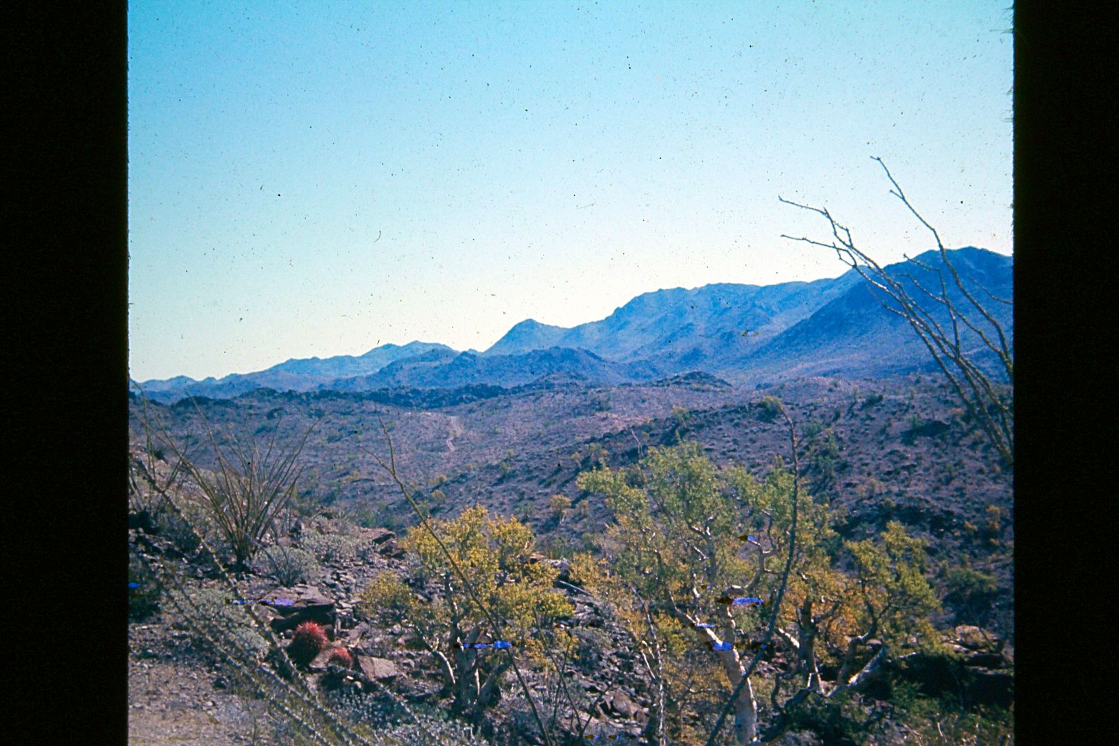
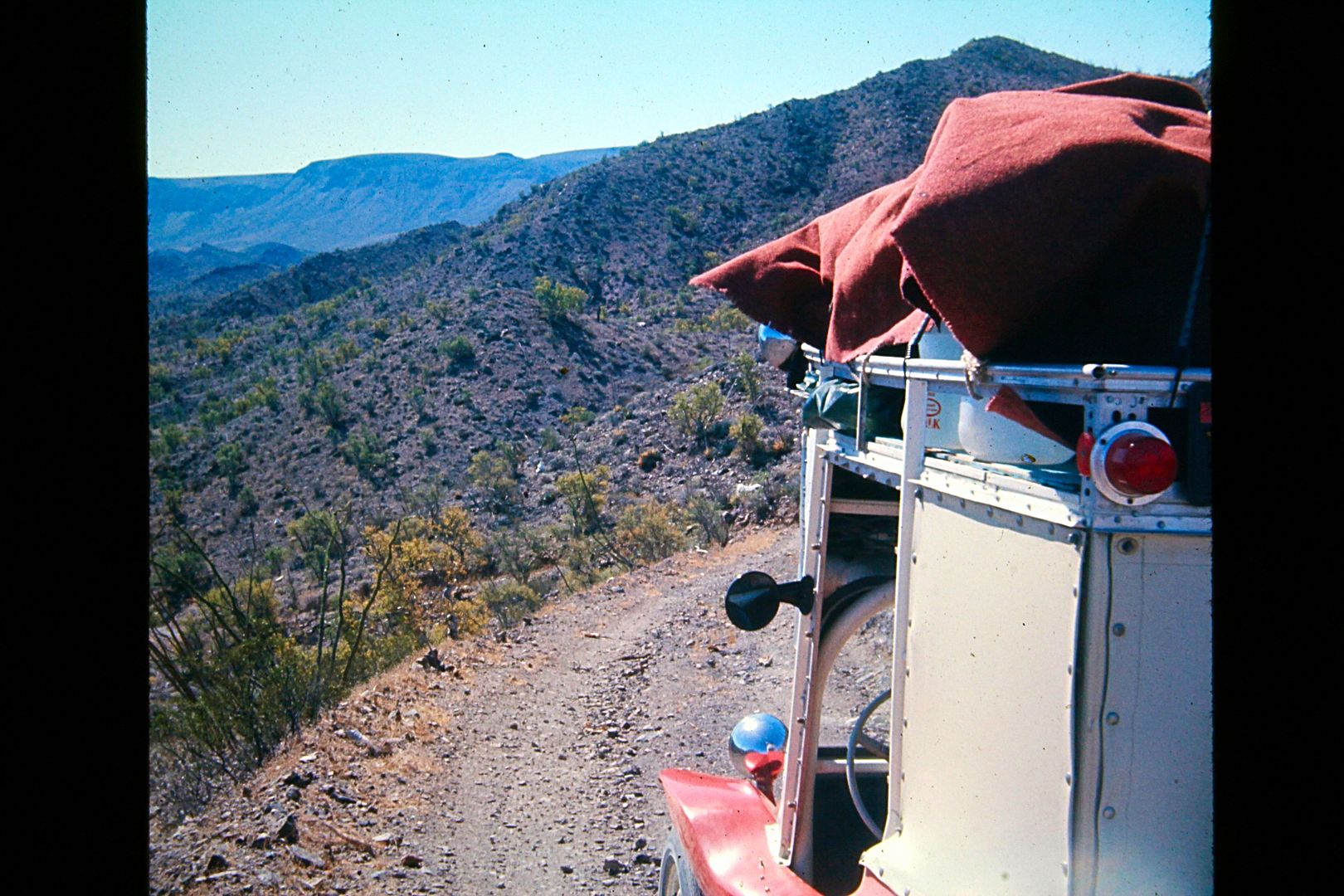
Looking for El Volcán soda spring where onyx is made... northeast from El Mármol.
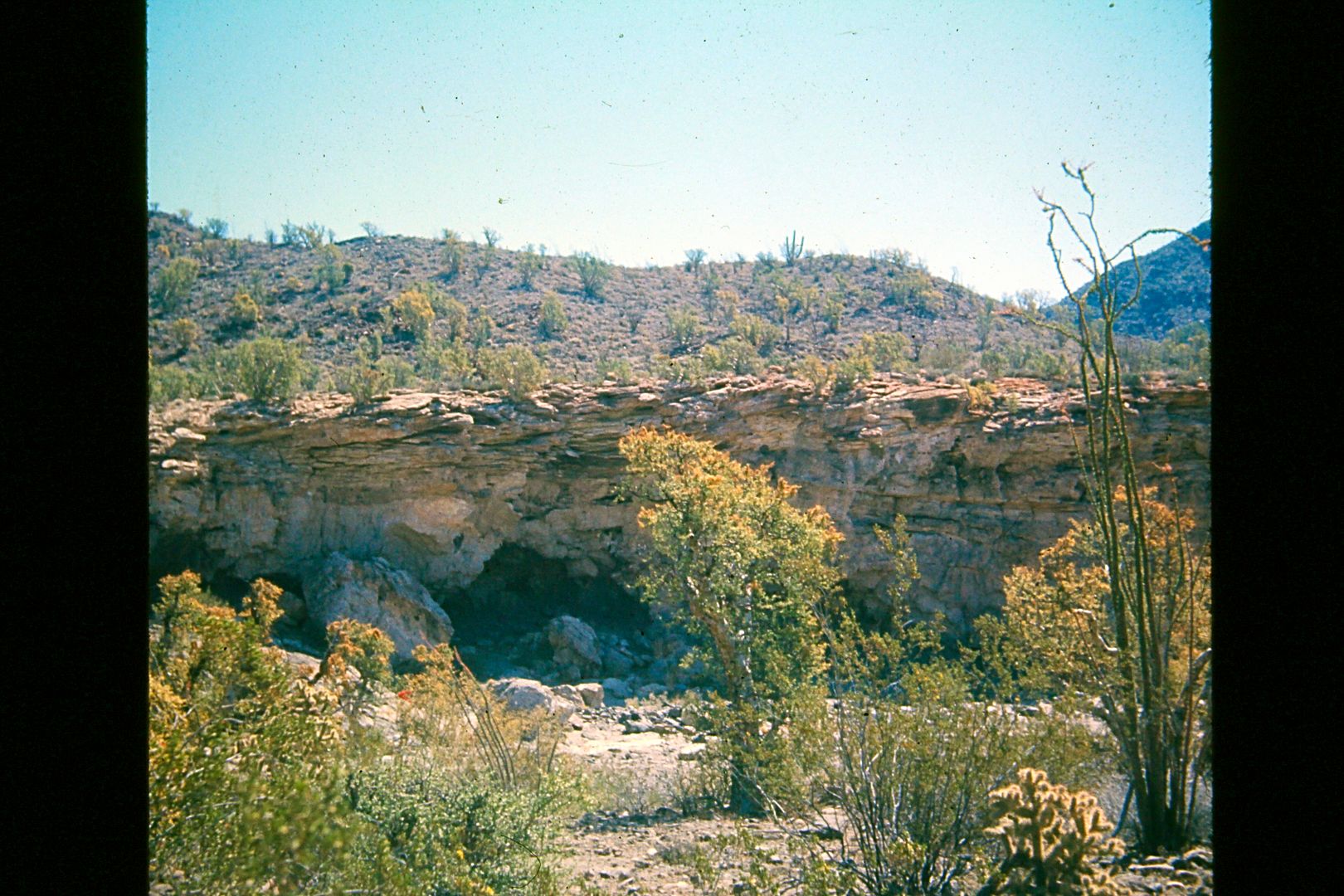
Almost 4 miles from El Mármol, we come down a long grade and next to this arroyo with a cave... the road soon crosses the arroyo and continues
eastward. This is actually Arroyo el Volcán and if we parked at the arroyo crossing and walked 1/2 mile up the arroyo, we would have found the onyx
dome, cold water geyser and much water! I didn't find it until 29 years later! However, just past the arroyo crossing, the road passed a short hill
with mineralized water oozing out at various places. The hill looked like a little volcano, so we guessed it was the El Volc�n spring site?
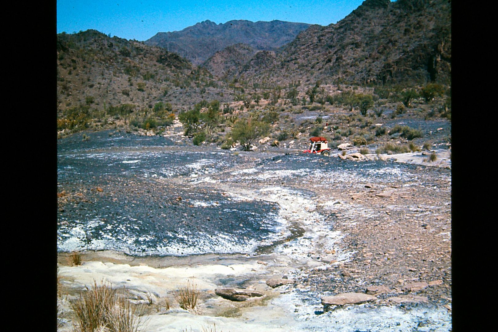
So here were the false El Volcán springs. See my dune buggy down from the spring water flow?
The place is so fascinating... the real El Volcán, which is just around this hill (to the left) and up the big arroyo a short walk from the road
crossing... You may be able to drive up the arroyo part way, as we did in 2011.
Interested? Here is my 2006 trip page to El Mármol and El Volcán: http://vivabaja.com/marmol/
2011 El Volcán, including video clips of cold, bubbling springs: http://forums.bajanomad.com/viewthread.php?tid=52804
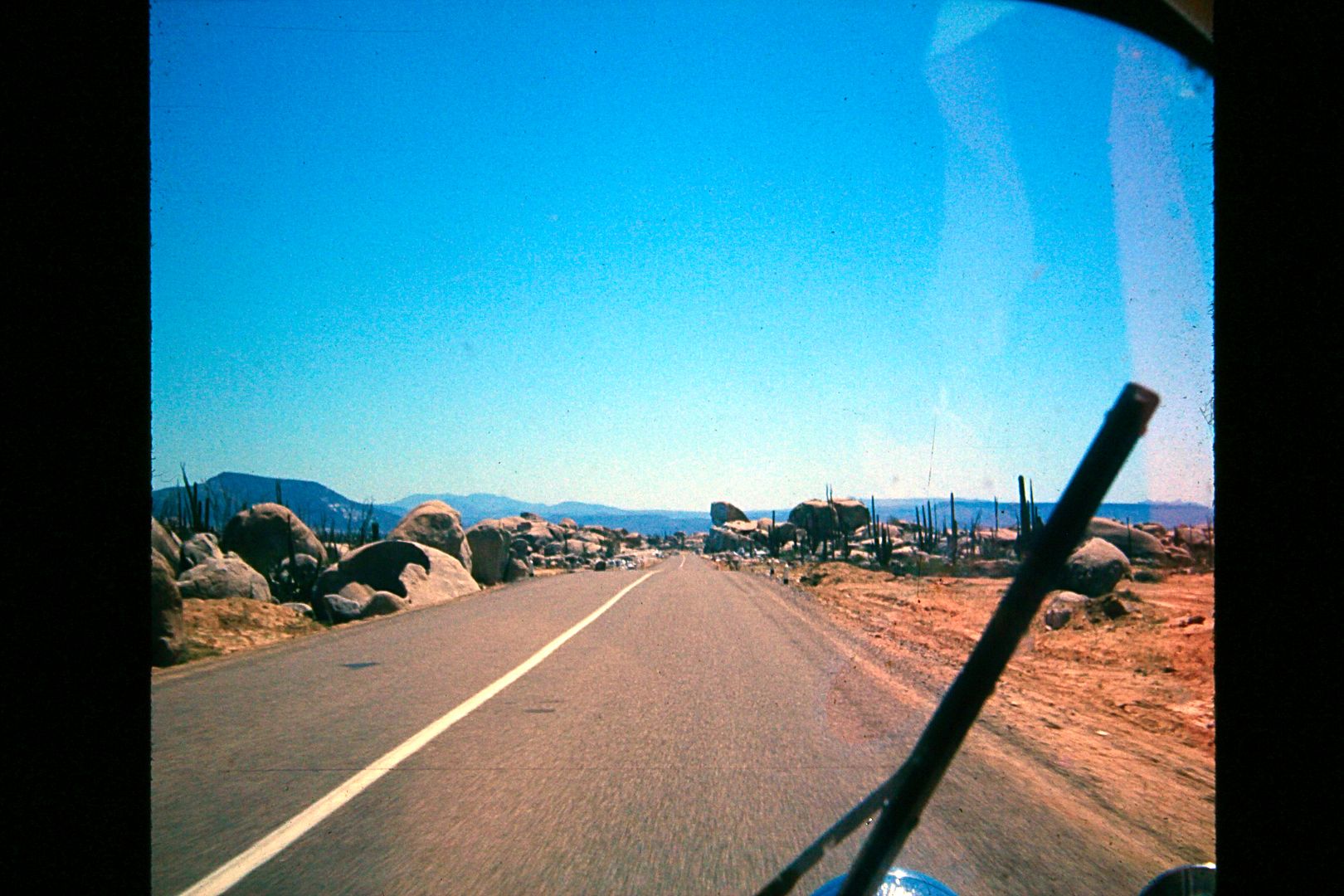
Back on the 5-month-old Transpeninsular Highway... The big boulder the highway cut through is a good landmark, north of Cataviña.
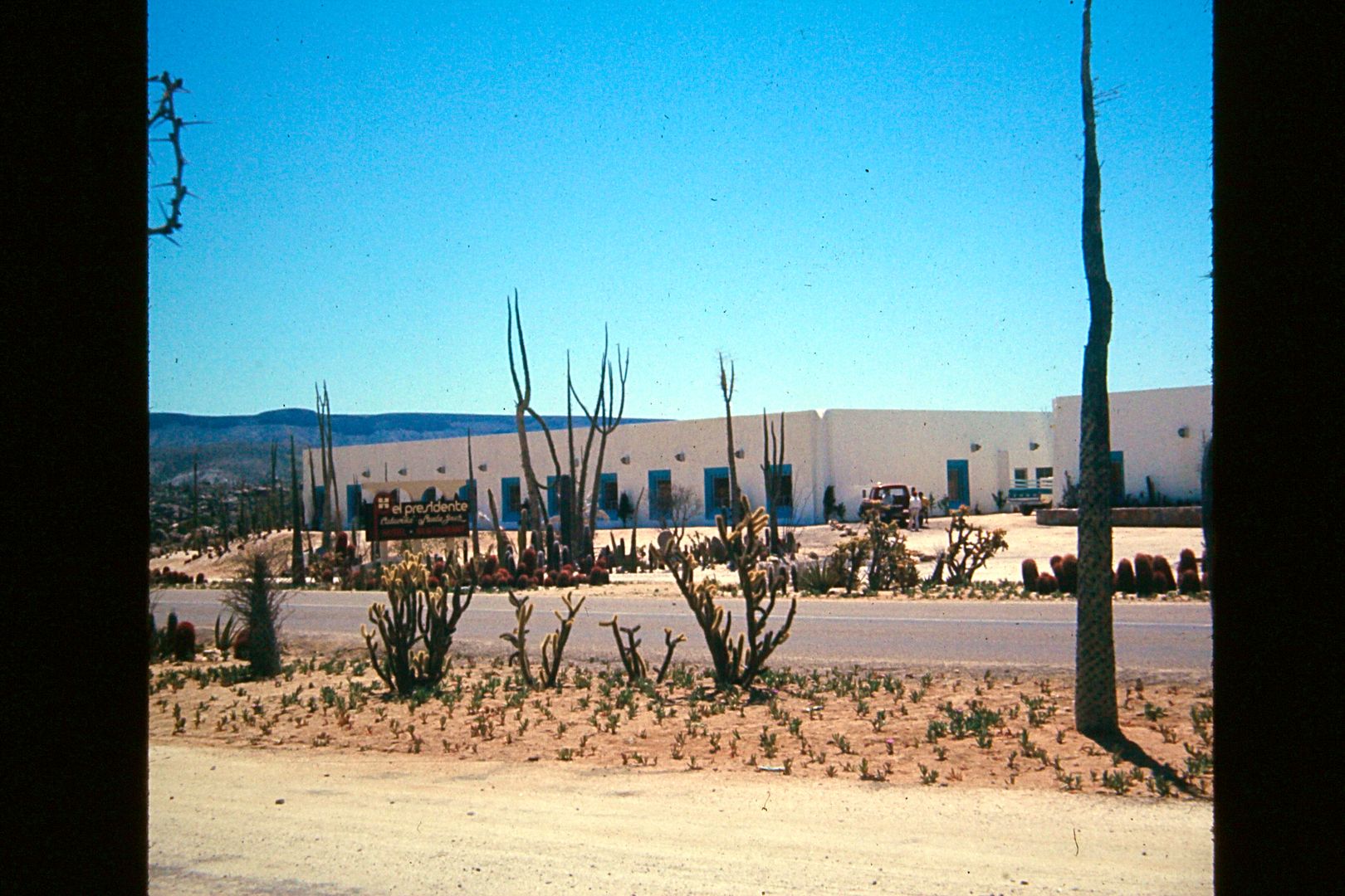
The newly opened El Presidente Hotel Cataviña/Santa Inés as seen from the Parador rest area/cafateria, and next door to the Pemex station.
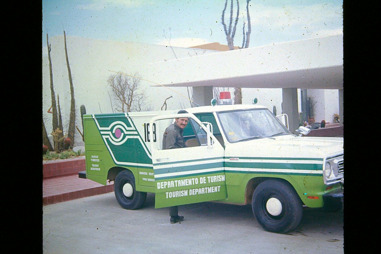
At the Parador Cataviña was a Green Angel truck and crew. They patrolled the new highway, and like the paradors, were to guarantee safety for drivers
on the desolate, unpopulated Baja wilderness!
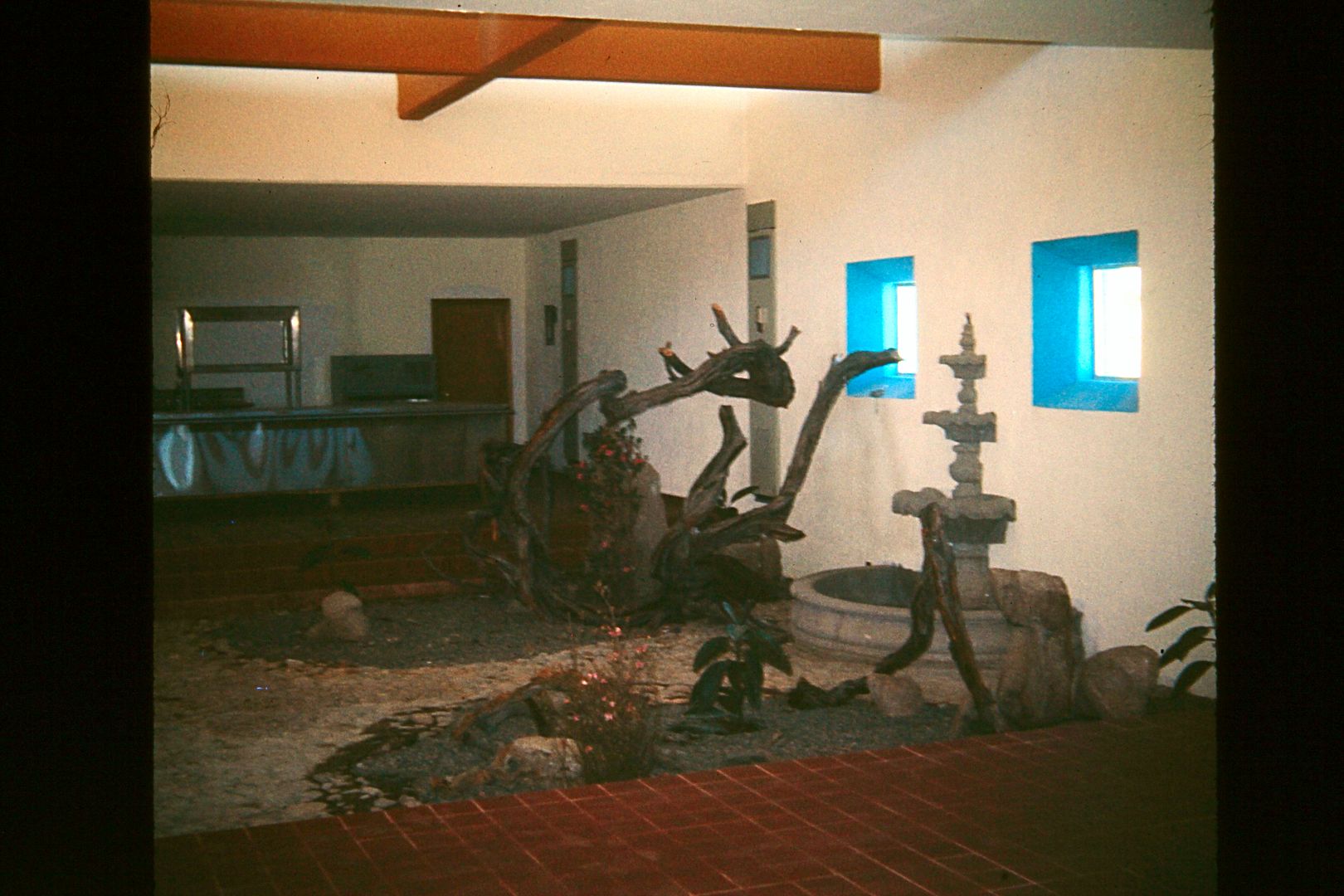
Sunken garden inside one of the parador cafeterias (San Quintin, Cataviña, Punta Prieta, Paralelo 28°, or San Ignacio)
Paradors were air-conditioned rest areas, sunken gardens, food, restrooms, and showers. Located next to Pemex stations and a trailer park for campers
and RVs. All Paradors had an El Presidente hotel there or nearby, except Punta Prieta (L.A. Bay Jcn.).
San Quintin (south by Santa María), Cataviña, Punta Prieta (L.A. Bay Jcn.), Paralelo 28° (near Guerrero Negro), and San Ignacio were the paradores.
San Agustin had a Pemex station and a trailer park... across from a road maintenance camp.
The Green Angels were fully equipped traveling auto mechanics should anyone break down in the uninhabited sections of the highways. No charge for
labor, just for parts.
Mexico WANTED tourism and did these things so travelers would feel safe and comfortable coming down to Baja. The Tourist Card was FREE for 180 days
and you could get it at a checkpoint located in Maneadero., which was the south limit of the 'border zone'.
MORE TO COME!
[Edited on 1-7-2021 by David K]
|
|
|
David K
Honored Nomad
        
Posts: 65434
Registered: 8-30-2002
Location: San Diego County
Member Is Offline
Mood: Have Baja Fever
|
|
1974 Spring Break Trip by Dune Buggy (cont'd)
From Cataviña, we went south and about 10 miles past Laguna Chapala took a left on the water truck road made the previous year when the highway was
built. Plenty of water was in Calamajué Canyon, and this road was a short cut saving 12 miles off of driving to El Crucero and then north.
There was plenty of water on the road in Calamajué Canyon, but no problem for my dune buggy. We went to the mission and then went to on to Gonzaga
Bay. I know I went to the turquoise mine the next year, but not sure about this trip? No photos were saved if I had any.
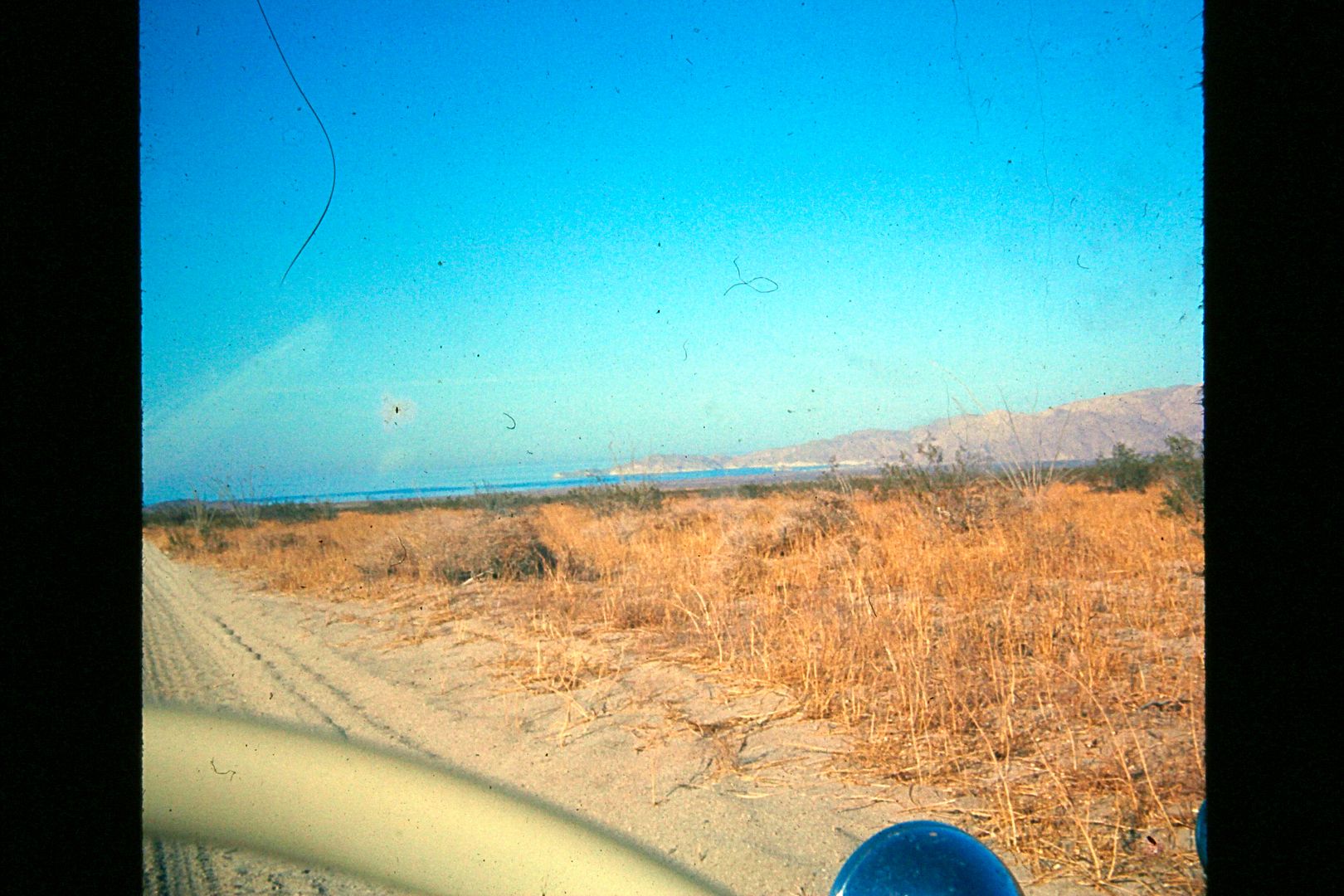
First view of the Sea of Cortez on our '74 trip. That is Punta Final.
We put a hole in my back tire along here, and at Alfonsina's they put a 'boot' inside (we used inner tubes back then). We went down the beach a ways,
and camped.
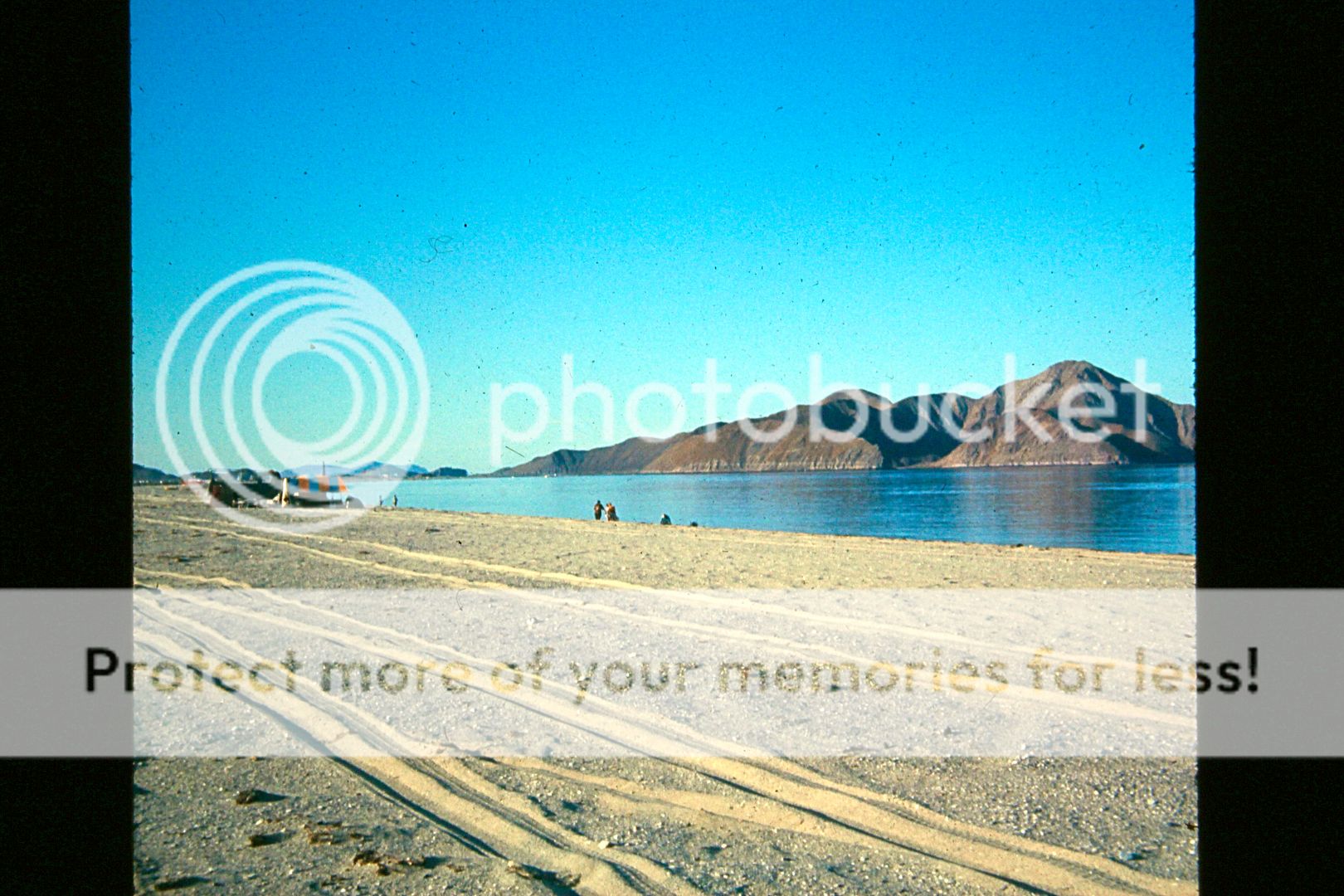
Heading north... over the "Gonzaga Grades"...
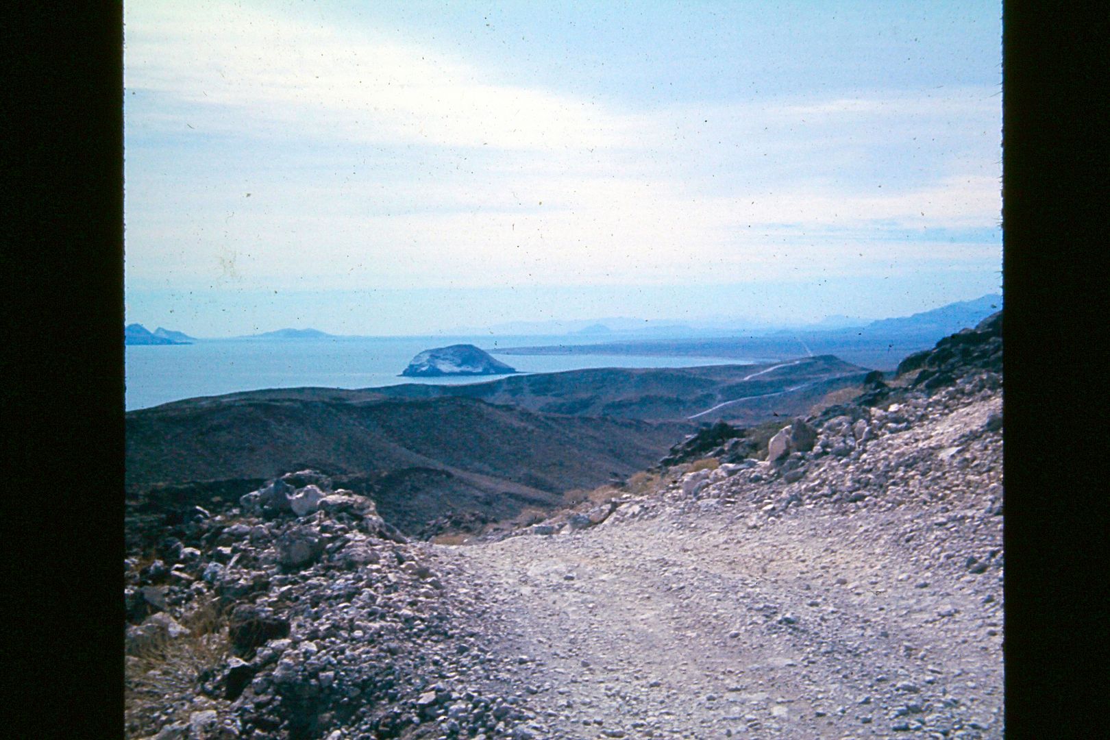
View back south, Isla el Huerfanito and some of the other 'Enchanted Islands".
In those days, the road between Puertecitos and Gonzaga Bay was considered the toughest road in Baja. There were several steep, narrow, rocky grades
that could only safely be driven in 4WD or a dune buggy. The wrecks of autos and trucks in the canyons below testified to that fact!
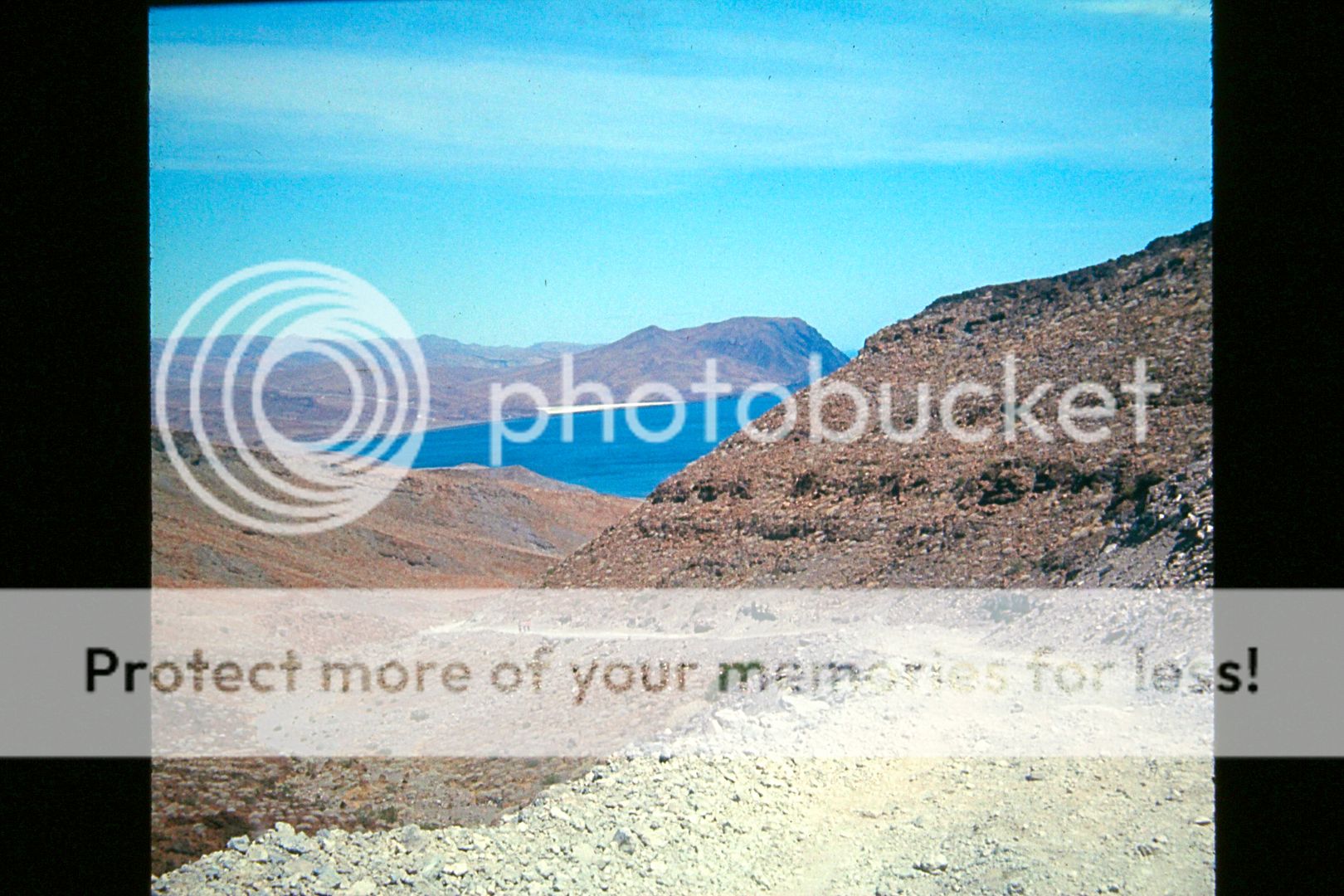
Of course, there is no room to pass, so it was smart to stop at the top of each grade, turn off the engine, and listen for another vehicle before
proceeding ahead. This was "Highway #5" before 1986 when a graded 2WD road replaced it.
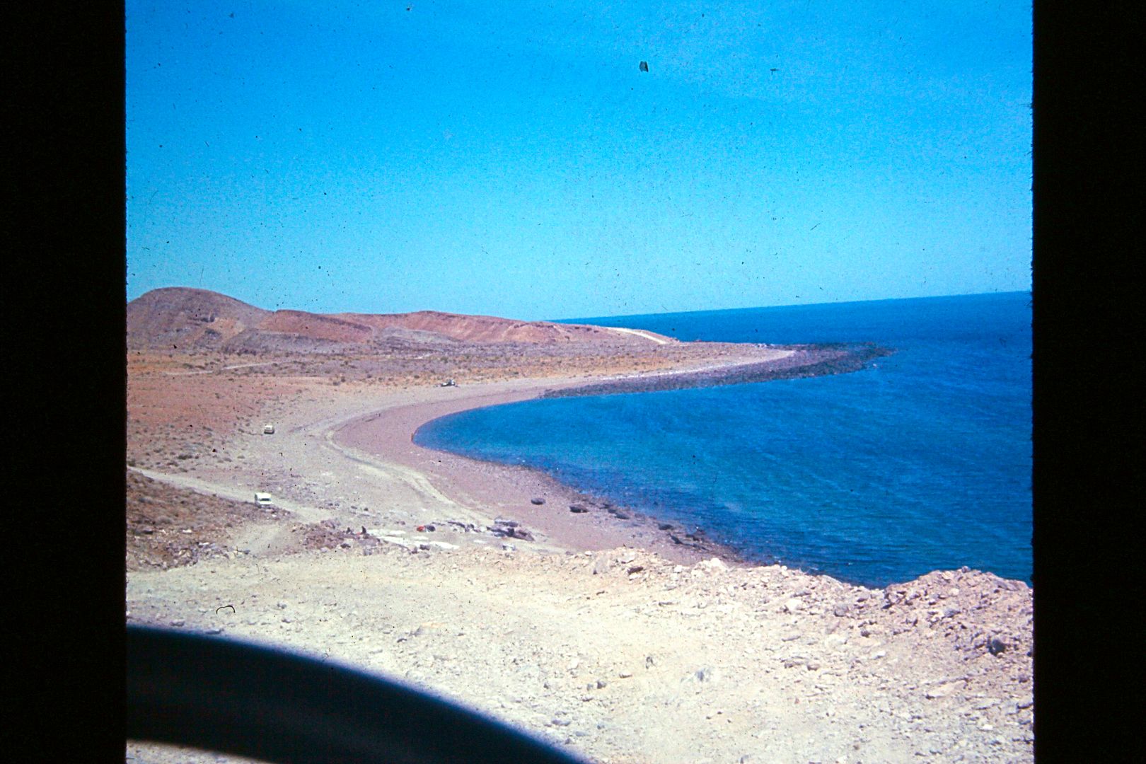
The road was still not terrible, but with the Transpeninsular Highway completed, it was far easier to get into and out of Gonzaga Bay via Calamajué
Canyon to Highway One now. In 1983, the graded road from Laguna Chapala to Puerto Calamajué made it even shorter. Where that road crosses the gulf
road is where Coco's Corner was established.. many years later.
The gulf road north of Gonzaga fell into disrepair for lack of use, except for some crazy gringos in four wheel drives and buggies! By 1985-6, when
the new road south of Puertecitos was made, the older road had become nearly impassible. I last drove it in 1979... muy malo!
More to come!
[Edited on 1-7-2021 by David K]
|
|
|
PaulW
Ultra Nomad
    
Posts: 3113
Registered: 5-21-2013
Member Is Offline
|
|
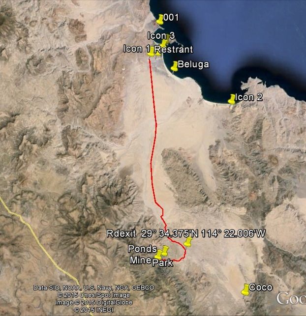
Turquoise Ponds - track before paving
|
|
|
David K
Honored Nomad
        
Posts: 65434
Registered: 8-30-2002
Location: San Diego County
Member Is Offline
Mood: Have Baja Fever
|
|
Here are photos from the 1975 dune buggy trip, where we did go to the turquoise mine... (this is from my website, VivaBaja.com)
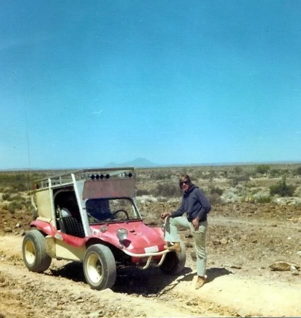
First photo of the buggy and me on the road to El Mármol, April 1975. The others in this post are of the turquoise mine...

Turquoise Mine in 1975. Photo by David K of Mike Clancy collecting turquoise.

View from mine, southeast towards the pools. Photo by David K in 1975. Photos of a 2002 visit to the pools at http://VivaBaja.com/1102/page2.html
Here's a couple photos of the green pools from bbbait ("Wayno"):


I read about the pools and turquoise mine in Cliff Cross' 1970 Baja Guide:
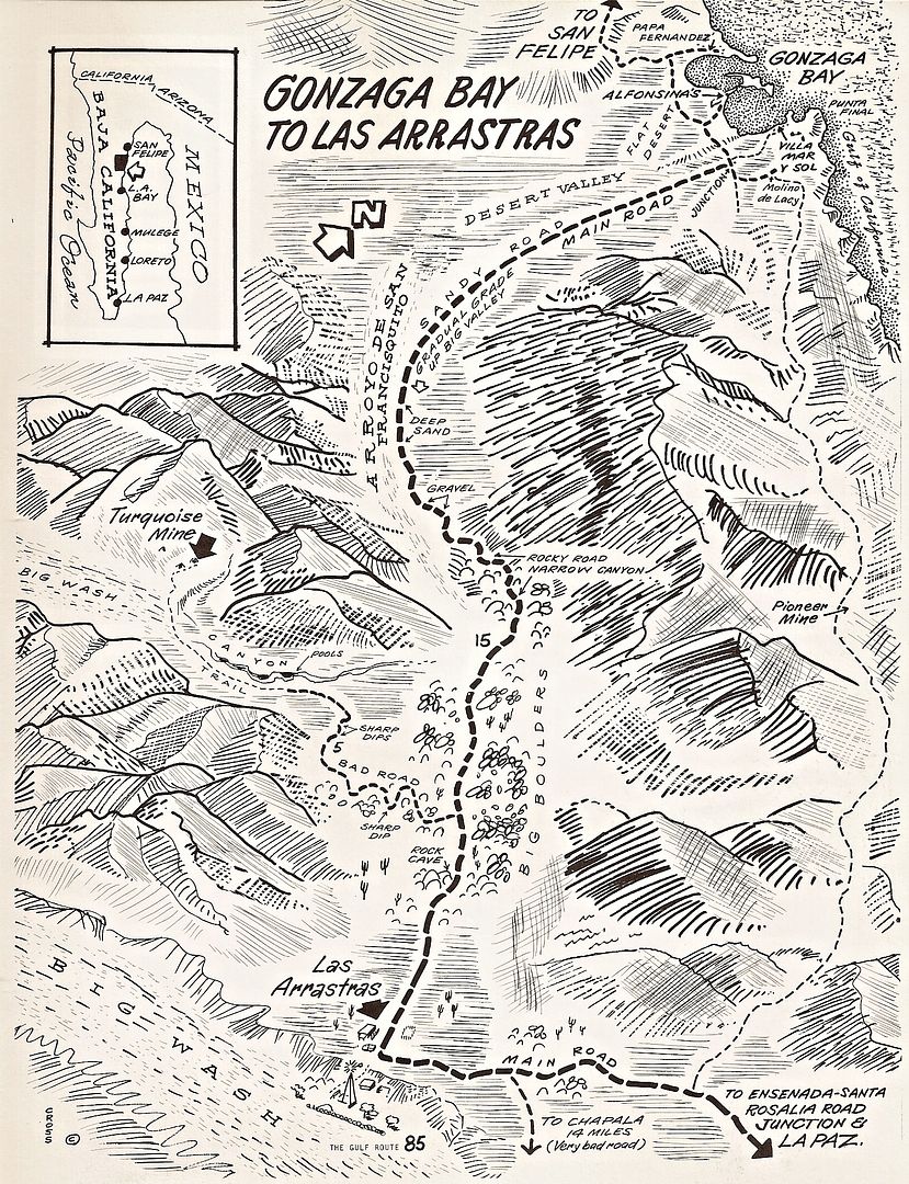
[Edited on 1-7-2021 by David K]
|
|
|
David K
Honored Nomad
        
Posts: 65434
Registered: 8-30-2002
Location: San Diego County
Member Is Offline
Mood: Have Baja Fever
|
|
1974
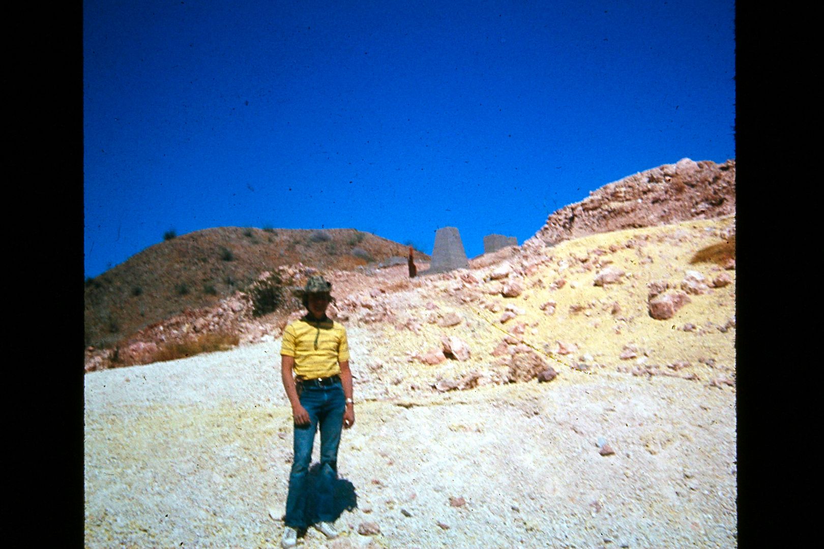
Here I am at the sulfur mine, 23 miles south of San Felipe. This is where the main road south used to pass by. The road east to Nuevo Mazatlan (5
miles) was also here, just south of this slope of sulfur.
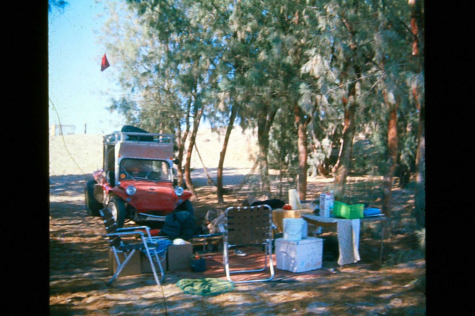
Camp set up at Nuevo Mazatlan, April 1974. The camp owner (Luis) planted cuttings of a nearby salt cedar (tamarisk) tree, in rows, and made a perfect
shade forest in the desert. The roof rack on that dune buggy made it possible to carry all the comforts of camping!
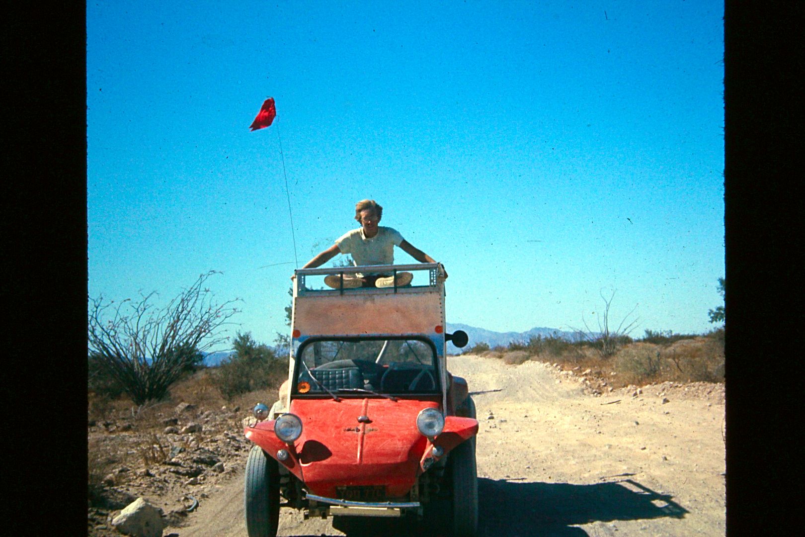
On the main road between San Felipe and Puertecitos: We drove into town from Nuevo Mazatlan and on the way back, Pat wanted to ride up on top.
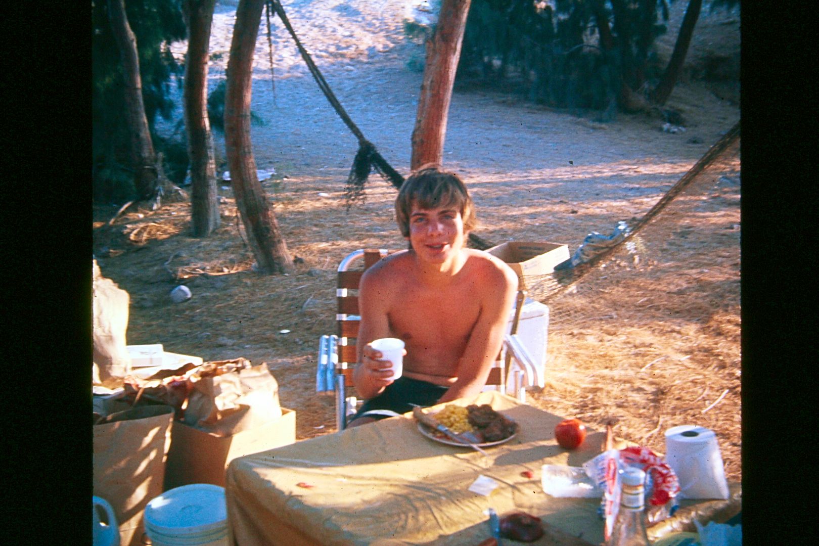
A few months later Pat and another friend (Bernard Karwick) joined me on a trip back to Nuevo Mazatlan. I brought down good food, like steak and corn
and that impressed them over the hot dogs or what they brought to eat!
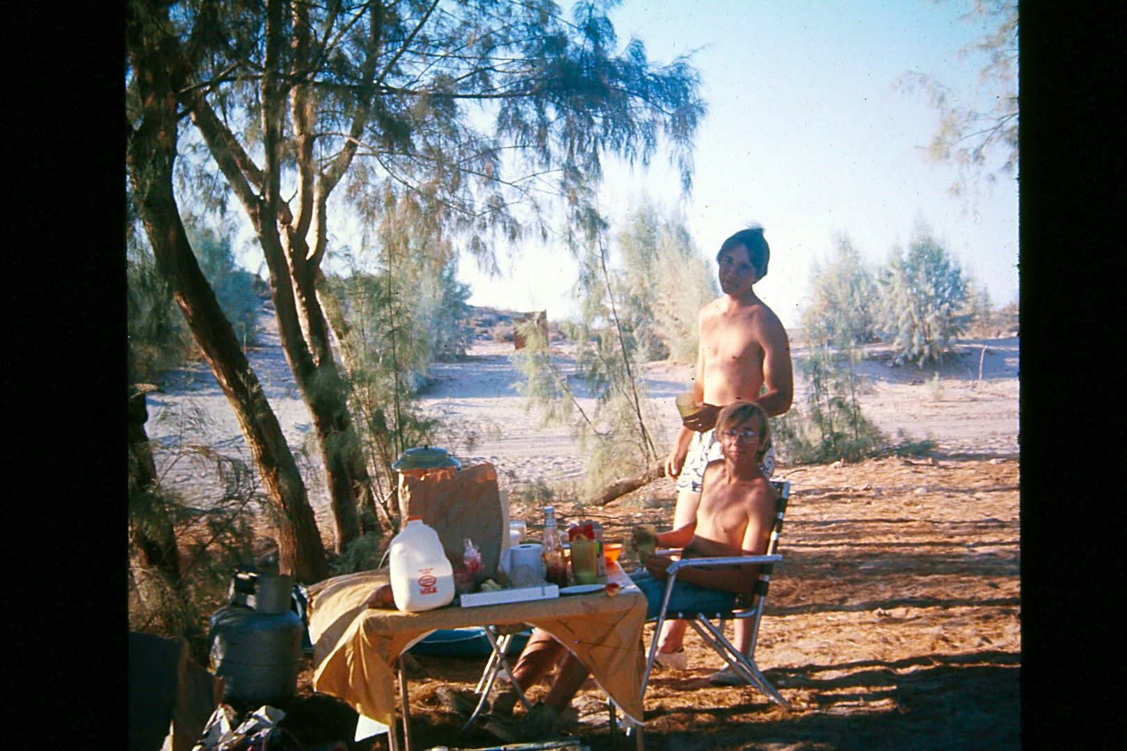
Bernard and Pat at Nuevo Mazatlan.
|
|
|
David K
Honored Nomad
        
Posts: 65434
Registered: 8-30-2002
Location: San Diego County
Member Is Offline
Mood: Have Baja Fever
|
|
1973/1974
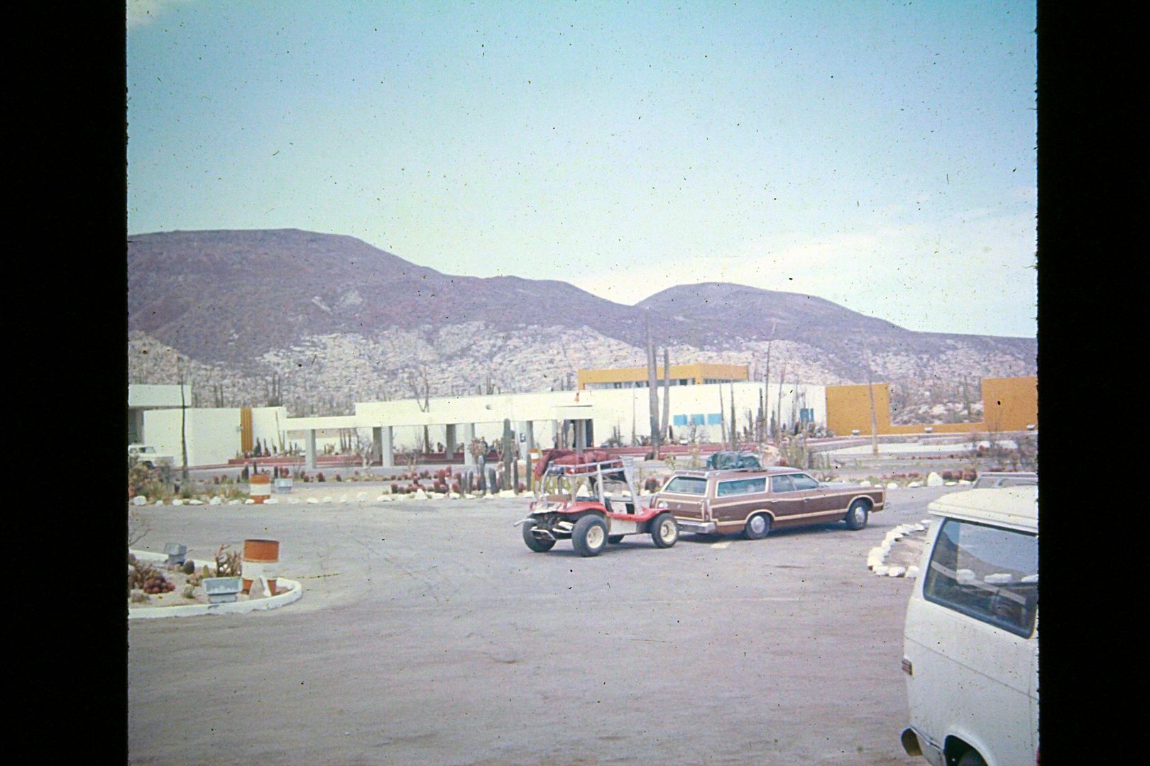
At Cataviña in July 1974
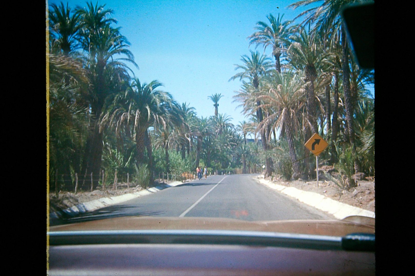
The entrance road to San Ignacio, July 1974.
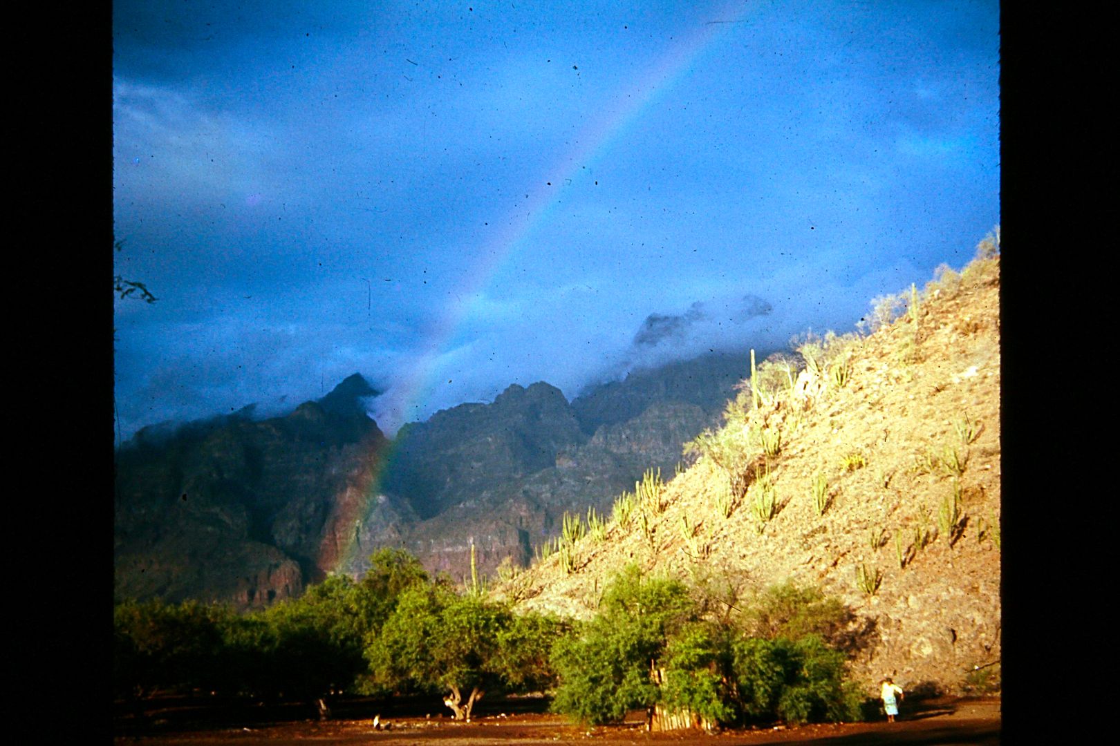
Morning at Juncalito, the pot of gold for fishing in July 1973!
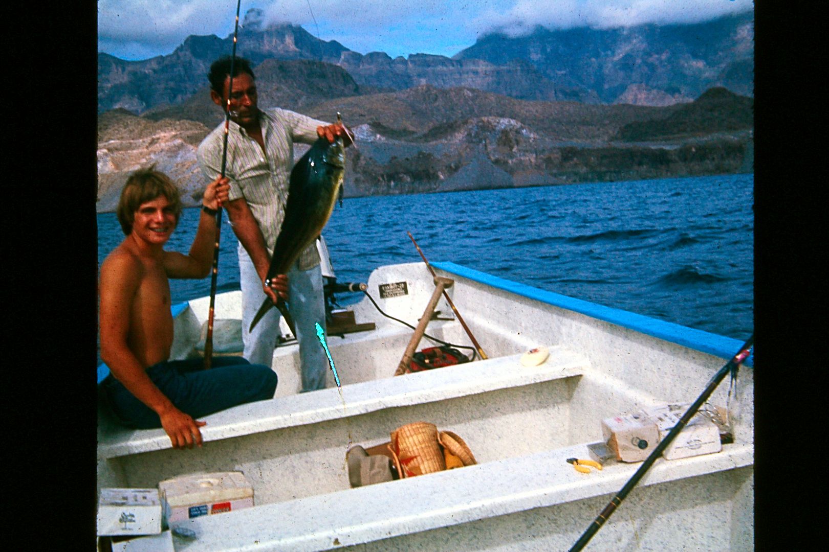
Fishing dorado (dolphinfish/ Mahimahi) with Ramon Villalejo out of Juncalito (south of Loreto) in July 1973.
[Edited on 1-7-2021 by David K]
|
|
|
David K
Honored Nomad
        
Posts: 65434
Registered: 8-30-2002
Location: San Diego County
Member Is Offline
Mood: Have Baja Fever
|
|
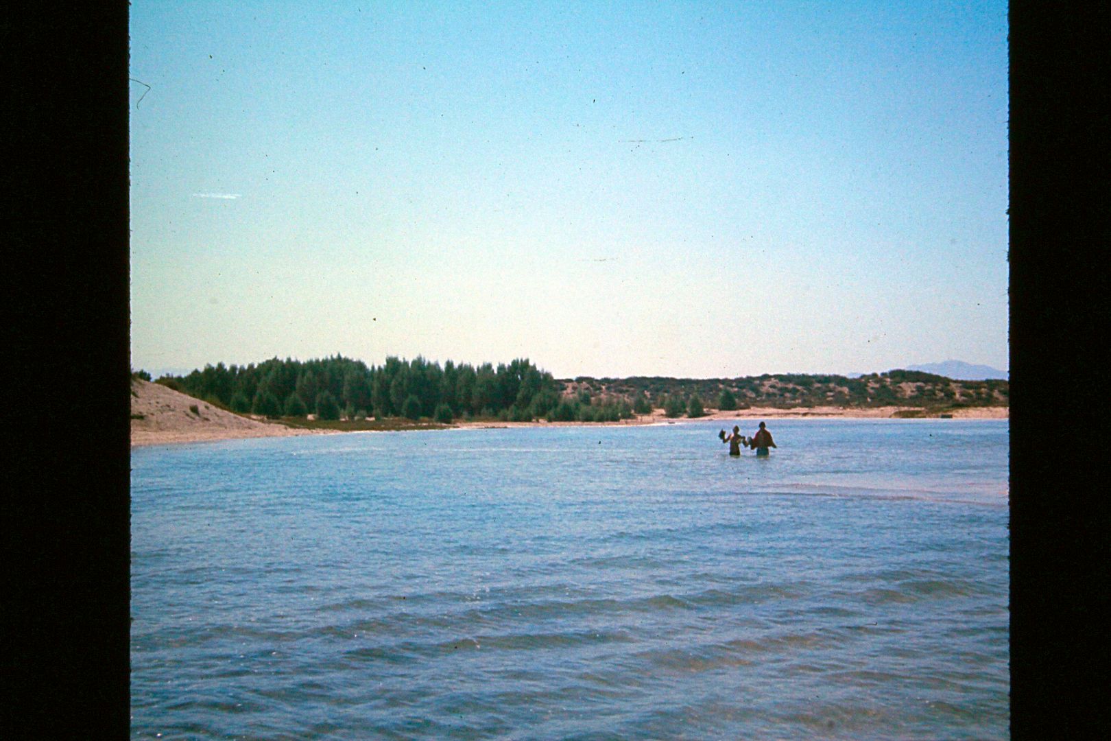
In summer 1974 at Nuevo Mazatlan during an extreme high lunar tide when the sea crested the top of the beach and flooded into the flat area by the
trees and campground.
|
|
|
David K
Honored Nomad
        
Posts: 65434
Registered: 8-30-2002
Location: San Diego County
Member Is Offline
Mood: Have Baja Fever
|
|
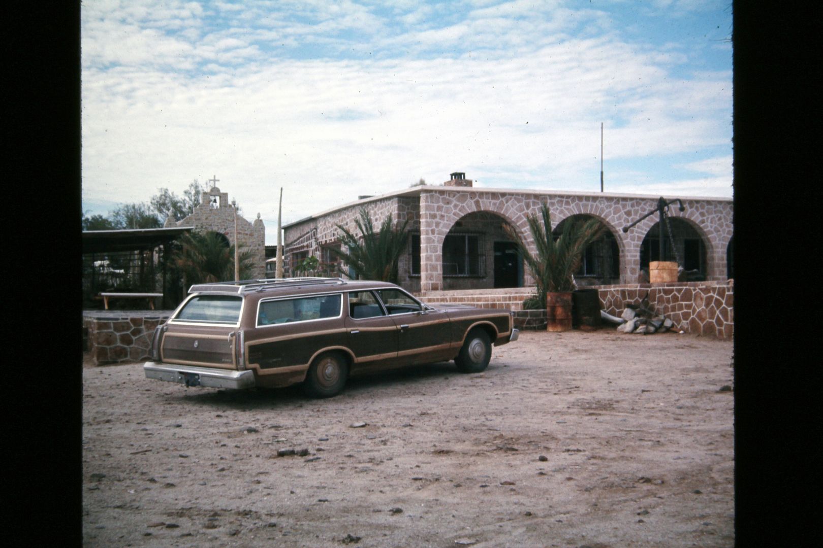
Casa Diaz , Bahia de los Angeles, July 1974
|
|
|
wessongroup
Platinum Nomad
       
Posts: 21152
Registered: 8-9-2009
Location: Mission Viejo
Member Is Offline
Mood: Suicide Hot line ... please hold
|
|
Thanks again ... still brings back memories
That was a nice set up you had going back then ... those VW's were a nice little car in Baja back then
And you were well set for camping, at that time
Had a ski rack on the back of my VW ... used it to carry pole's and clamming fork   if I repeat .. please excuse if I repeat .. please excuse
Still fun to look at folks getting out .... and especially back then ... those road were pretty tough in places ... but, fun
It is STILL a way to GO BACK in time
you were really Cadillac camping "chairs"  
[Edited on 11-1-2015 by wessongroup]
|
|
|
basautter
Senior Nomad
  
Posts: 862
Registered: 7-1-2013
Member Is Offline
|
|
Very cool! Thanks for sharing.
|
|
|
David K
Honored Nomad
        
Posts: 65434
Registered: 8-30-2002
Location: San Diego County
Member Is Offline
Mood: Have Baja Fever
|
|
Yes, my dad showed me how camping need not be uncomfortable! A table for meal prep and chairs to relax were key.
|
|
|
bigboy
Nomad
 
Posts: 239
Registered: 12-28-2003
Member Is Offline
|
|
David.....I love the pictures from your early trips. My first trip to Cabo was in 1972 and I too drove down the east side to Gonzaga bay. I had a
brand new 1971 Ford F250 4X4 and I'm glad I had it for that three sisters road!
I took the same ferry as your dad did so I wouldn't have to drive back to California on the dirt road. But of course, I drove to Cabo the next year as
well! What memories....thanks
|
|
|
| Pages:
1
2
3
4
5 |
|

