| Pages:
1
2
3
4 |
David K
Honored Nomad
        
Posts: 65412
Registered: 8-30-2002
Location: San Diego County
Member Is Offline
Mood: Have Baja Fever
|
|
Quote: Originally posted by chuckie  | | I can vouch for Valentinos, we have eaten there several times...AND a nice young lady waitress fixed a glitch in my computer while we were eating....
|
That's nice to know.
|
|
|
honda tom
Nomad
 
Posts: 493
Registered: 8-28-2003
Location: middle calif
Member Is Offline
|
|
Great trip report!
about 6 years ago I stopped at the ranch at Miseria (6 of us on motos and trucks). A man and woman came out and were very happy to see us. They gave
us a tour (i distinctly remember how odd it was they had a swimming pool) They also had a lot of newer equipment , backhoe, newer f350 stakeside, 2
waverunners. very nice people but I don't remember the names. The next day we talked to Coco about the ranch and he said they used the backhoe to dig
large areas down about 6 feet for growing marijuana. I guess the idea was that the soilders or travelers would not be able to see it. really a fun
road!
stopped there again about 3 years ago and the same 2 where there. not sure if its "your 2" but she did speak English.
[Edited on 5-1-2017 by honda tom]
|
|
|
honda tom
Nomad
 
Posts: 493
Registered: 8-28-2003
Location: middle calif
Member Is Offline
|
|
The picture of the building at La Bachata.................
Head southwest from here to the coast sometime, beautiful high walled canyon with lots of water at the bottom (green everywhere and giant palms).
1 area where 4 wheel drive will make you feel a little more comfortable, but not totally necessary.
|
|
|
David K
Honored Nomad
        
Posts: 65412
Registered: 8-30-2002
Location: San Diego County
Member Is Offline
Mood: Have Baja Fever
|
|
Hi Tom, I just got off the phone with Cameron Steele, who read my report too and told me his group also helped Leo and Lorena at Rancho Miseria. They
are famous!
|
|
|
chuckie
Elite Nomad
     
Posts: 6082
Registered: 2-20-2012
Location: Kansas Prairies
Member Is Offline
Mood: Weary
|
|
Sumpn fishy about that whole deal...
|
|
|
David K
Honored Nomad
        
Posts: 65412
Registered: 8-30-2002
Location: San Diego County
Member Is Offline
Mood: Have Baja Fever
|
|
Here was my driving Sunday and after midnight Monday...
Actually, off the map as far as Laguna Manuela.
The BLUE arrows were my planned routes on Sunday. They ended at Rancho Miseria at 6 pm.
The RED arrows are my driving Sunday night (with Leo and Lorena to Punta Prieta) and to El Rosario at 3:40 am Monday morning.
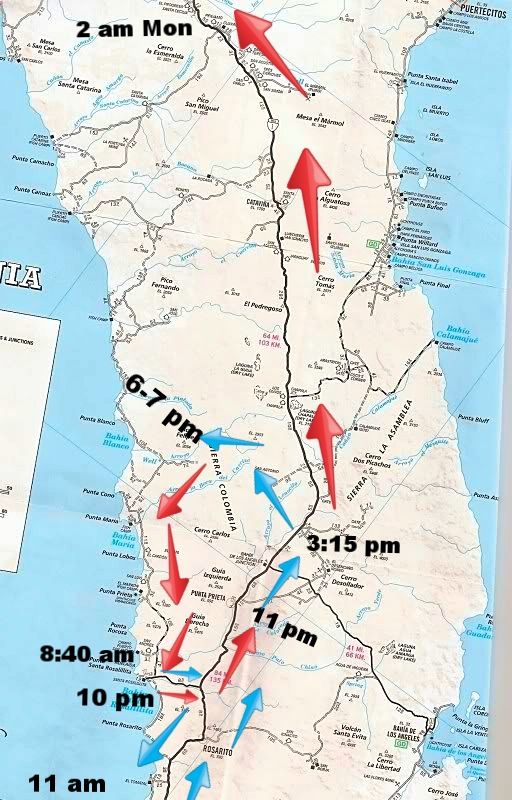
My day began near Santa Rosalillita. I traveled to El Tomatal and Villa Jesus Maria, Laguna Manuela, and Morro Santo Doming before heading north, just
past Punta Prieta. I took the dirt road west to San Antonio and down the mountain to Rancho Miseria, arriving at 6 pm. The red arrows begin there.
[Edited on 5-2-2017 by David K]
|
|
|
honda tom
Nomad
 
Posts: 493
Registered: 8-28-2003
Location: middle calif
Member Is Offline
|
|
long day/night for you...... glad you made it safe
|
|
|
David K
Honored Nomad
        
Posts: 65412
Registered: 8-30-2002
Location: San Diego County
Member Is Offline
Mood: Have Baja Fever
|
|
Thank you. It was alright, and it felt good to help this desperate couple... the eve of her birthday, too.
I will try and finish the report up today, one week after Day 7.
|
|
|
David K
Honored Nomad
        
Posts: 65412
Registered: 8-30-2002
Location: San Diego County
Member Is Offline
Mood: Have Baja Fever
|
|
DAY 7 (TUE APR 25 2017)
Had a great night sleep at El Rosario's Baja Cactus Motel. To save time, I ate a bowl of cereal in my room and had freshly brewed coffee (Baja Cactus'
main rooms have coffee makers).
I was on the road at 9:30.
Here are some of my trip notes as I checked out a few sites near San Quintin:
Km. 12.5+ Campo Deportivo concrete road west (0.6 mi). A baseball stadium. Past the stadium, the concrete road goes 0.3 mi further to a store and
beyond is a swap meet/ flea market area.
Km. 11 Pemex, Los Pinos farm, paved road west (distances in miles):
... 0.0 Hwy. 1
... 1.0 Cross original route of paved Hwy. 1, former parador and gas station site.
... 2.1 Paved road turns left for Hotel Misión Santa María (0.9 mi). The dirt road continues ahead.
... 2.9 Cielito Lindo (motel, restaurant). A road (signed) continues past the Cielito Lindo to the beach.
... 3.5 wide sand beach, past the former Gypsy's RV park and Wet Buzzard cantina. Now a fisherman's storage area.
Km. 3.5 Restaurant Boca del Rio.
Km. 1.5 Road west to Los Olivos RV Park (just after the turn left in 1.0 mi) and Baja Jardines (motel and restaurant, 1.2 mi). Road was a bit rough.
Km. 1 Paved road west to Molino Viejo (Old Mill) restaurant and motel, Don Eddie's motel, and Campo Lorenzo. 1 mi from Hwy. 1 is a dirt road south to
Los Olivos (0.3 mi) and Baja Jardines (0.5 mi) providing less dirt road driving to those places.
Km. 0.5 Oxxo market
Km. 0 Highway widens northbound. This was the southbound start of the final section of Highway 1 construction, all done in 1973 between here and San
Ignacio.
On the drive north, I also began noting kilometer markers for one of the next areas to be 'mapped' for the guide.
Photos:
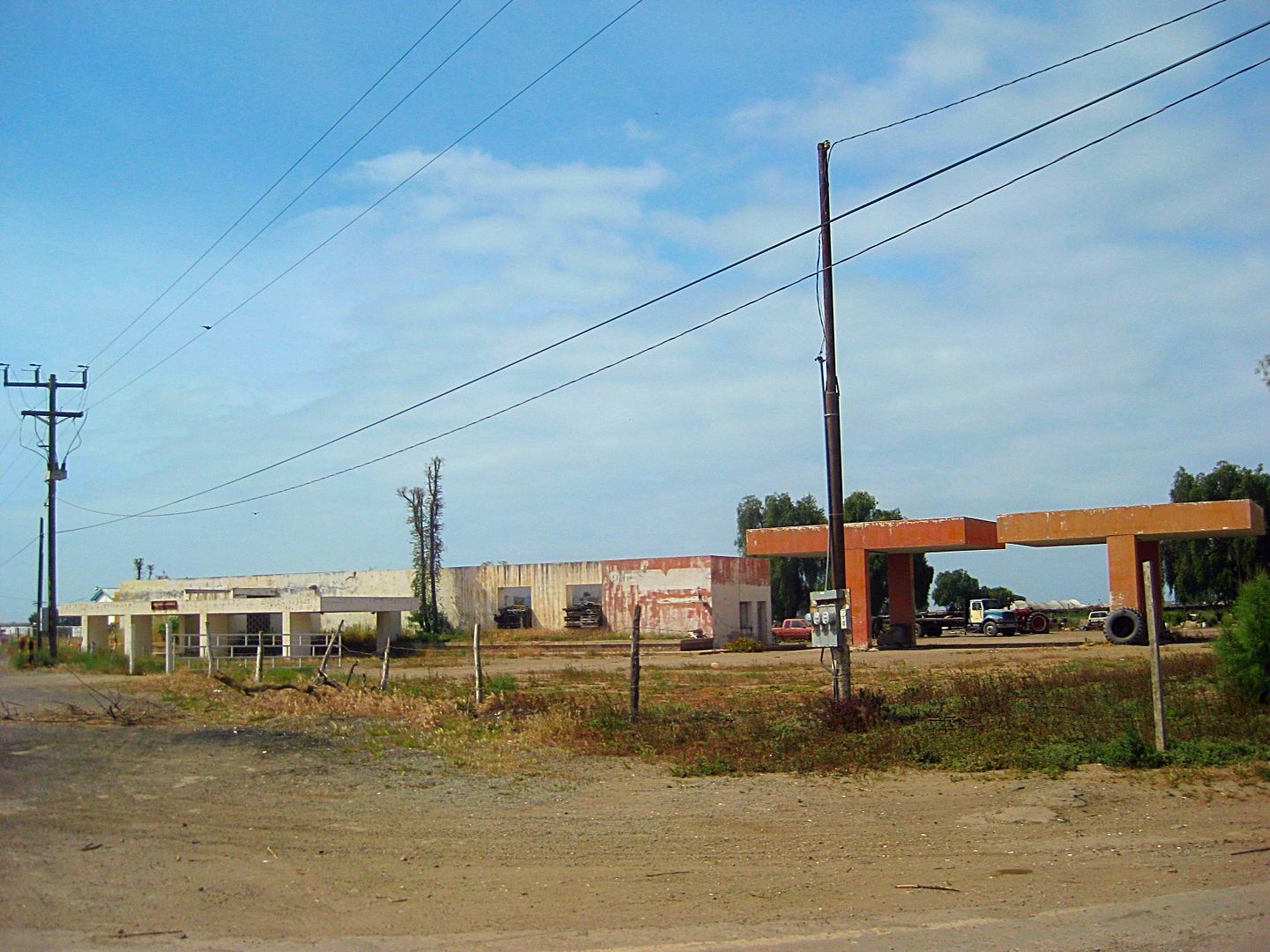
Abandoned Parador San Quintin and Pemex, along the former route of Hwy. 1, 1-mile west of Km. 11.
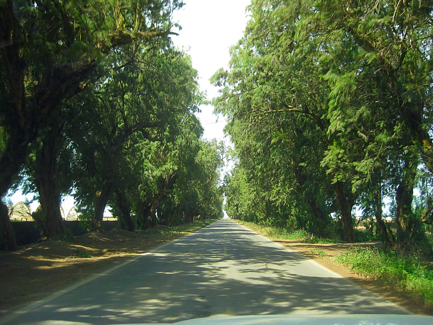
Tree lined drive to hotels (Misión Santa María and Cielito Lindo), west from Km. 11.
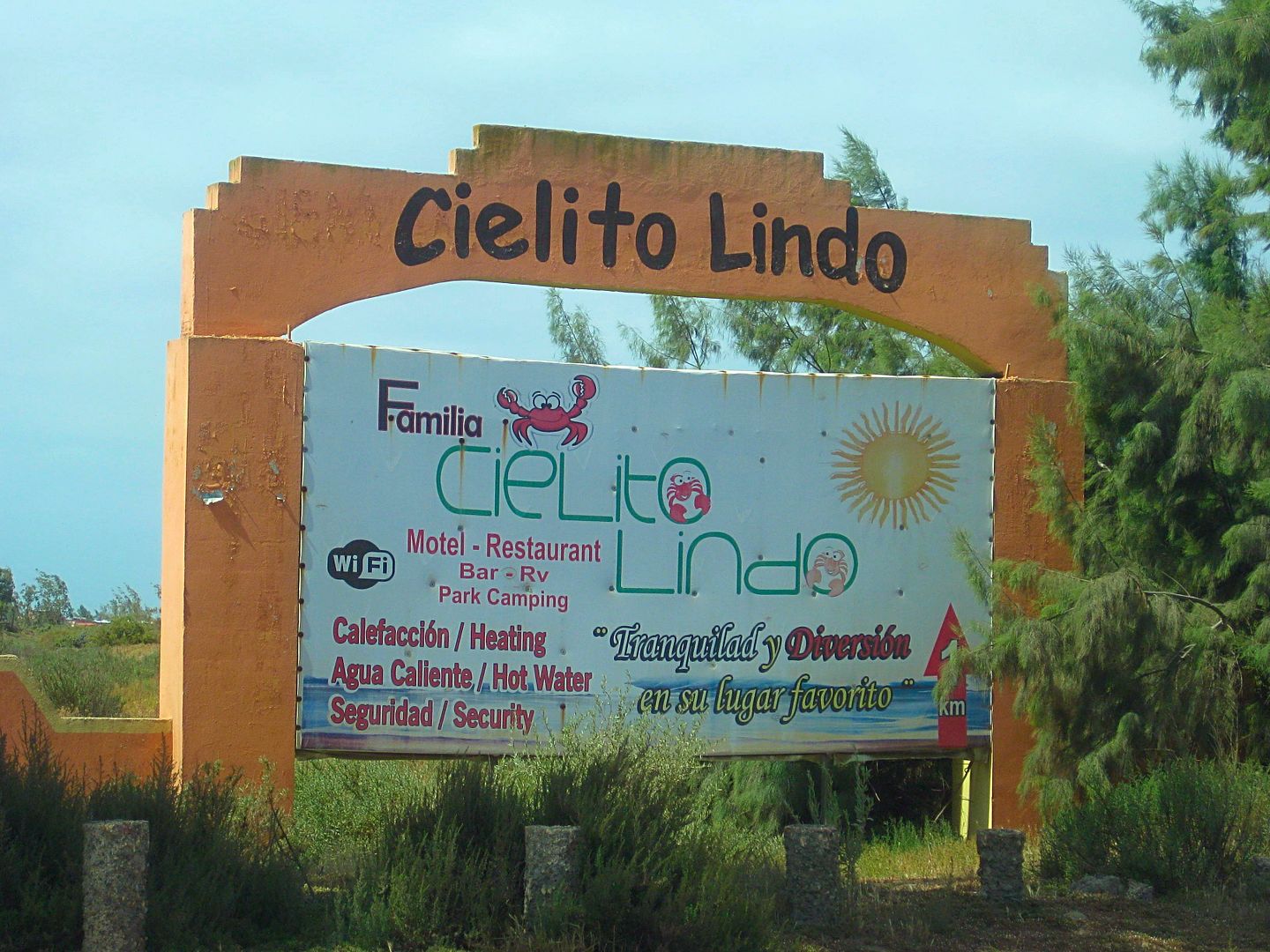
Sign, 2.1 mi from Km. 11 junction.
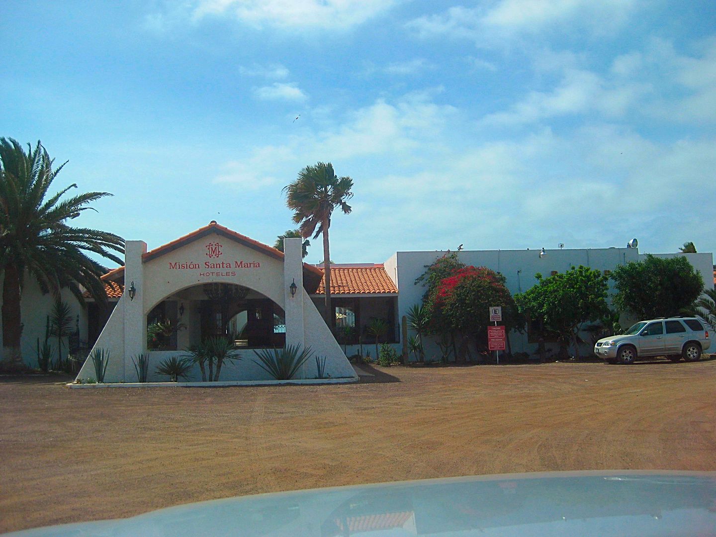
At end of pavement, 3 mi. from Km. 11.
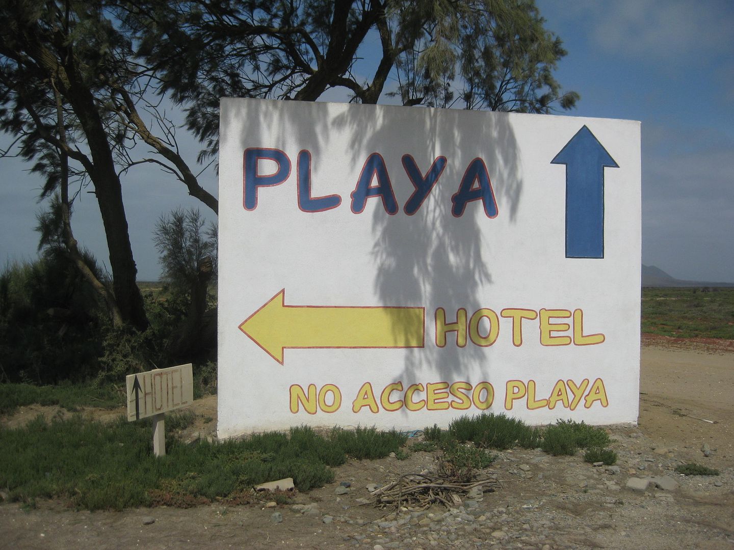
Just before Cielito Lindo. Beach is 1/2 mile away.
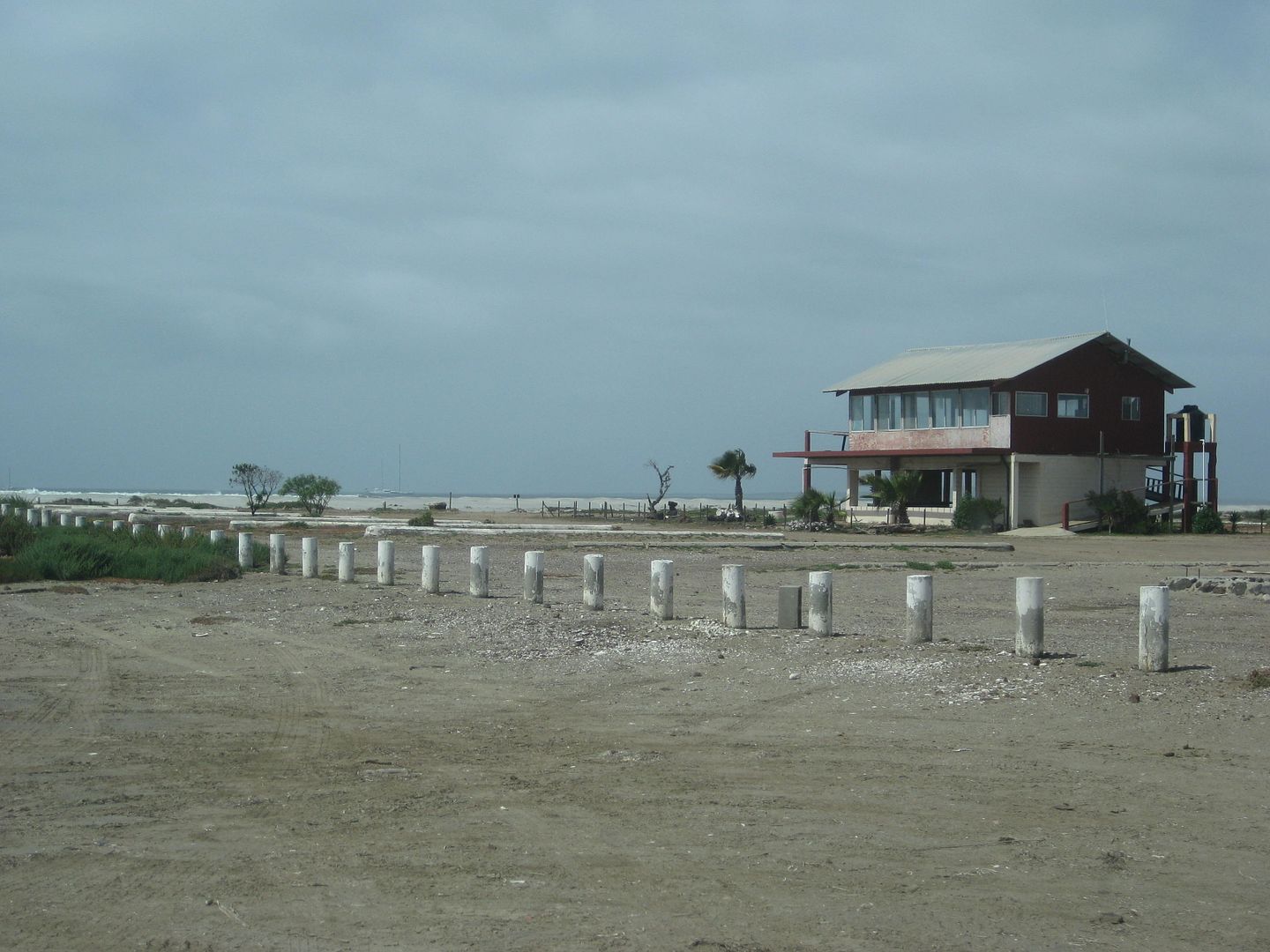
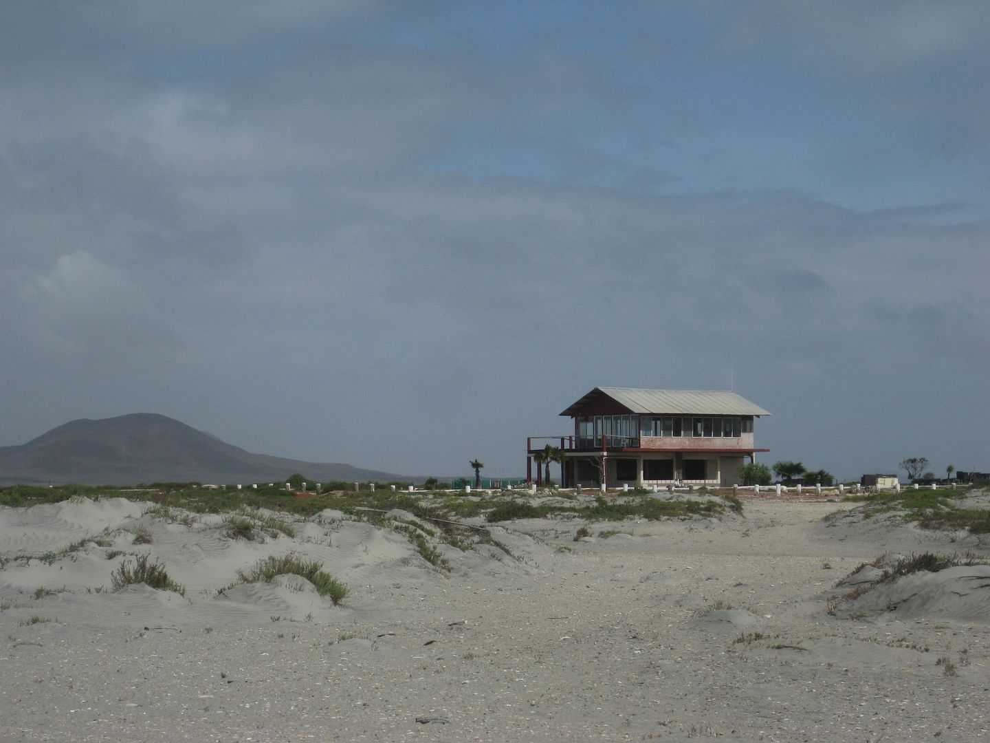
The former Wet Buzzard Cantina. Pacifico was on tap and Laura made awesome chorizo burritos! Last ate there in 2004.
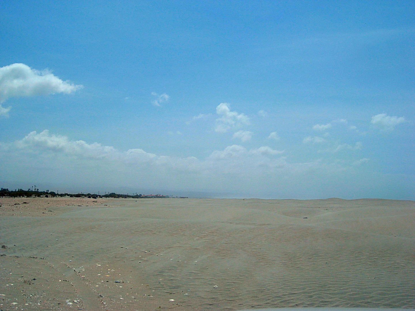
The beach is huge. No facilites.
Km. 1.5 signs:
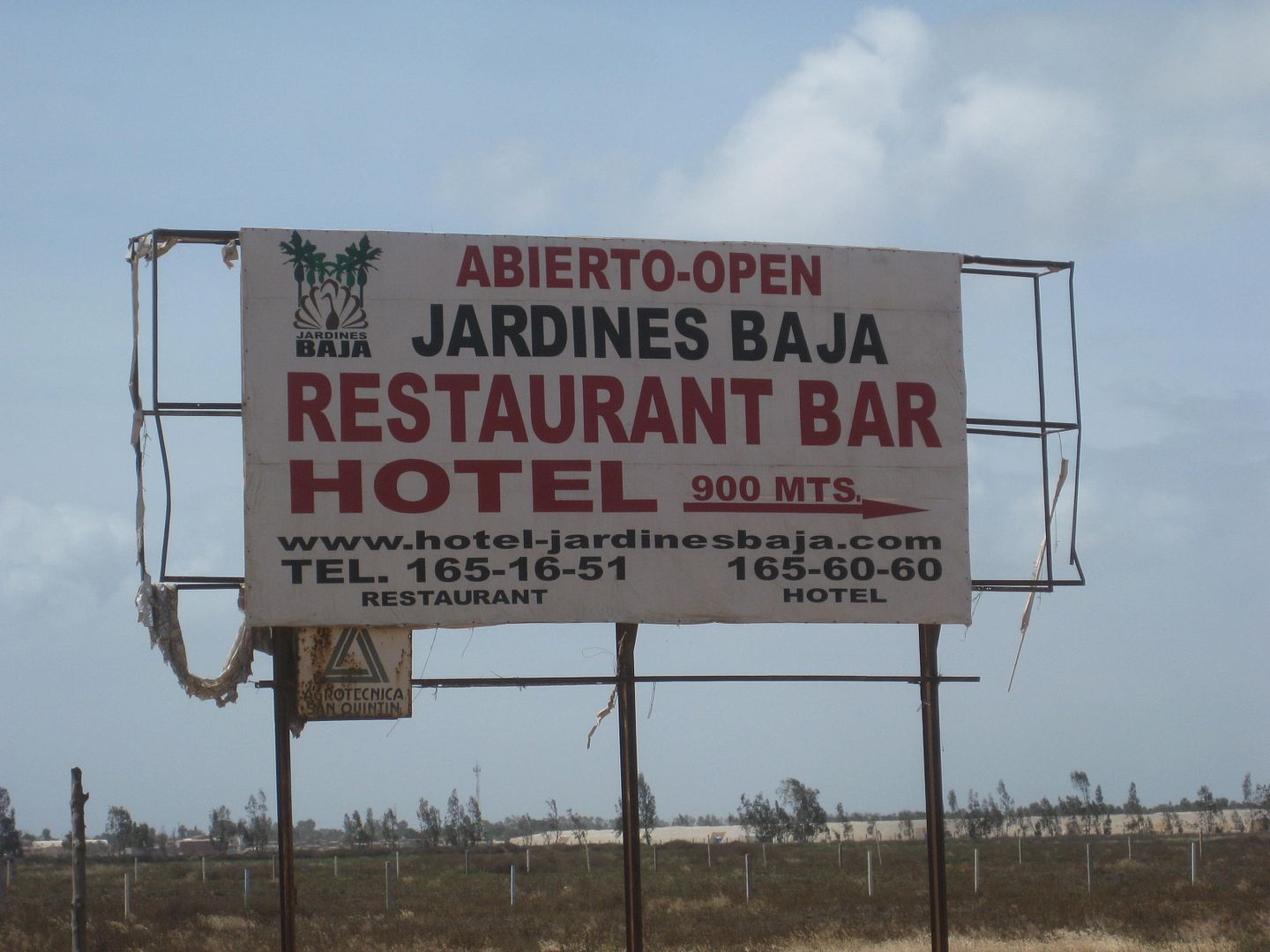
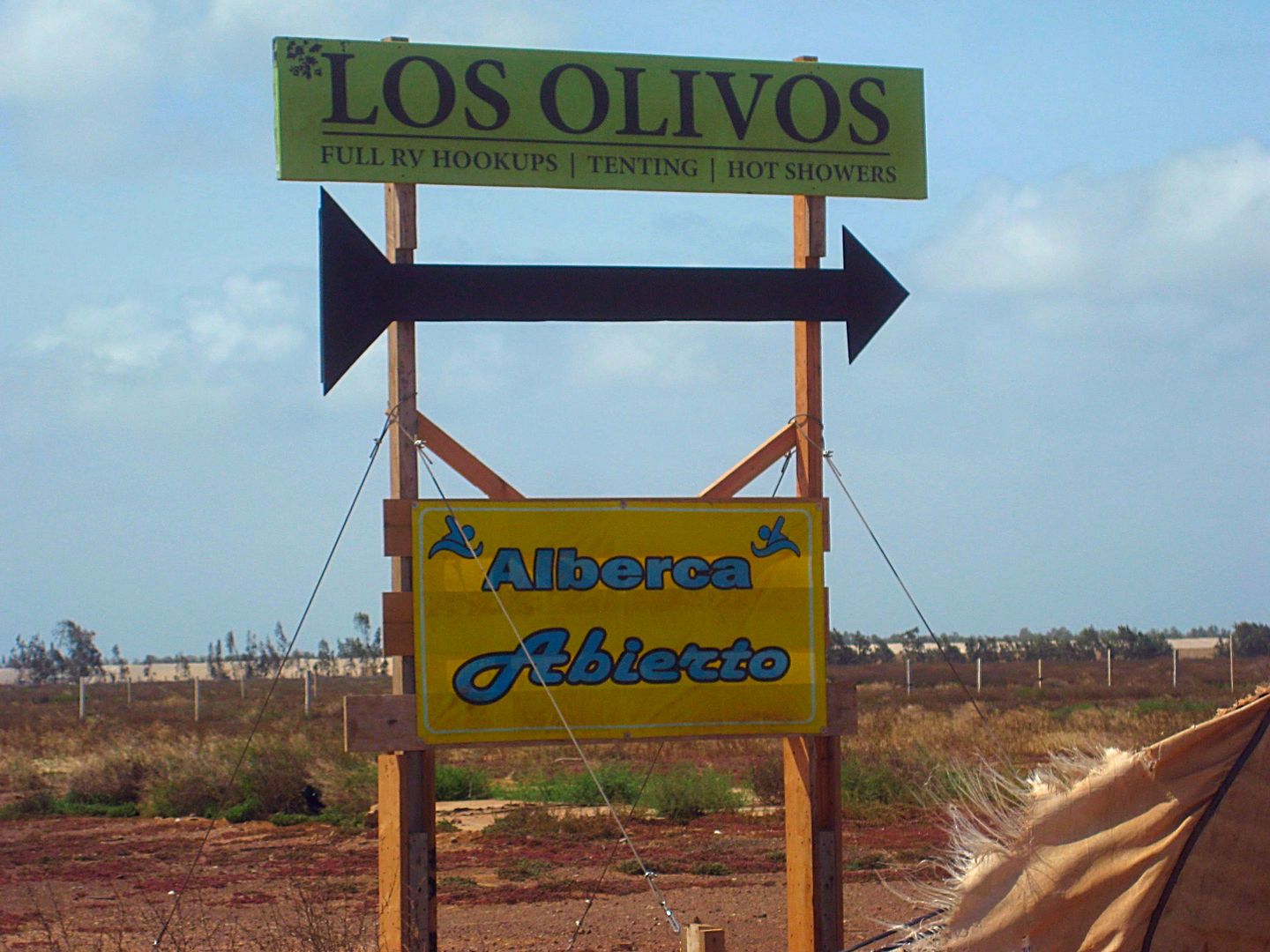
At Los Olivos:
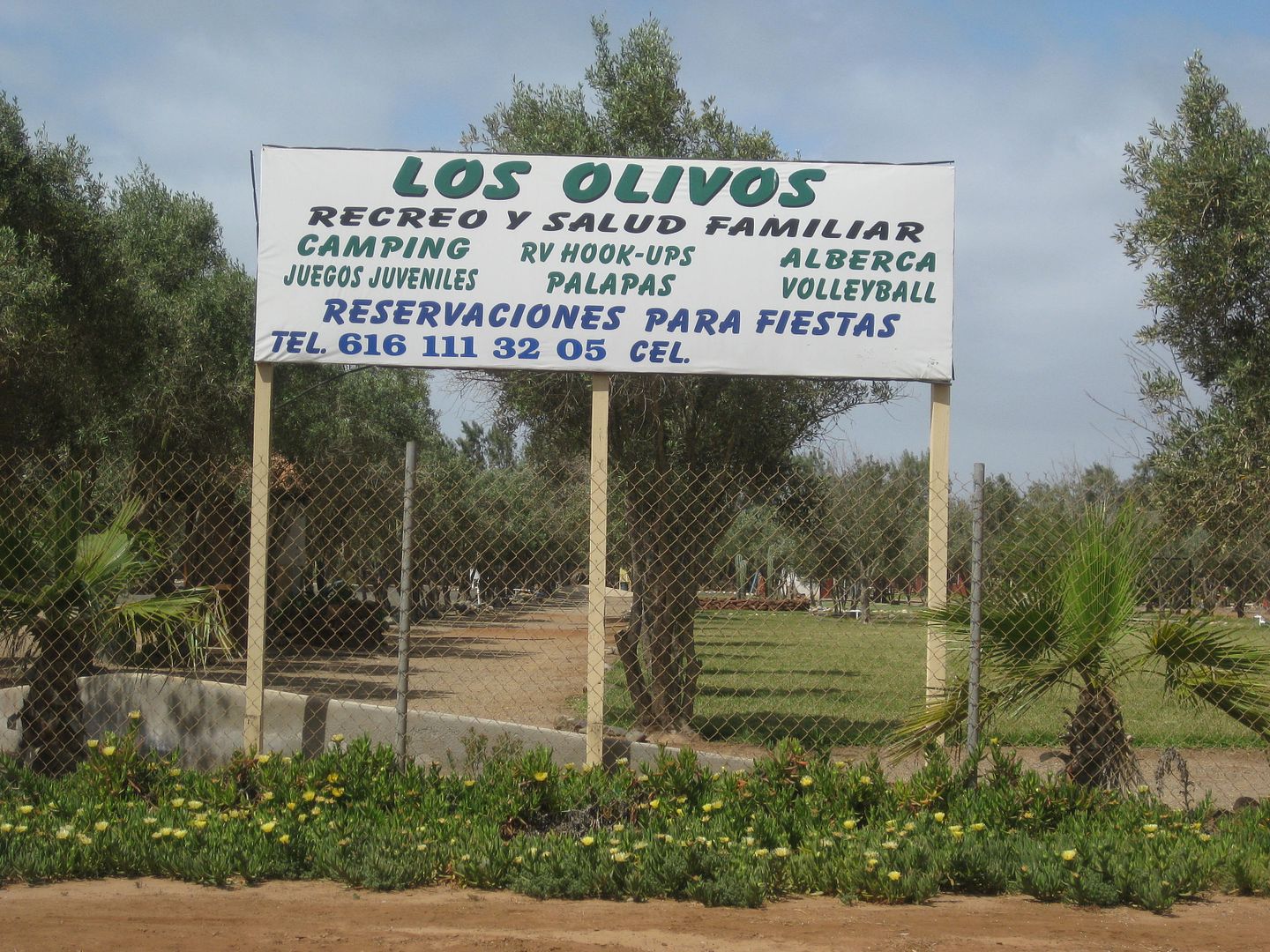
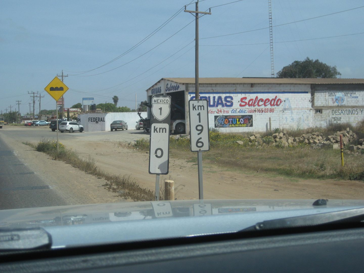
I will detail the final drive to the border, next!
On the way north, I sent a text to Larry ('bajatrailrider') in San Vicente to see if he was home and wanted a visit... and he was.
We had a nice chat about all things Baja and his wife Alma made us a great spaghetti lunch thank you! I was there for nearly 2 hours, great
hospitality.
The traffic through Ensenada is never fun, but not so bad today and instead of every signal turning red on me, only about half did! Oh, how I love
using Hwy. 5 to go up and down Baja instead of Hwy. 1, in the north!

Now that stations are free to charge what they want, as long as it doesn't exceed the government mandate, we are seeing prices posted on the street,
like here in the USA.
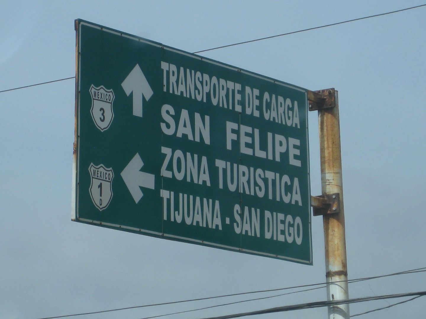
Sign in Ensenada where I turn left to get to the route by the harbor, which I find faster to get to the highway north.
Naturally, I like to cross at Tecate going north so I take Hwy. 3, just north of Ensenada. In Tecate, I use up the last of my pesos to add gas to my
tank and the price was 17.06/ liter and I have 600 pesos left from my trip money... and that gives me just over 37 liters.
I get to the border street and never know how long the line will be, well at 5:30 this afternoon, no line. Just one car at the booth when I get there.
Fantastic! Great border guard chat/ exchange and I asked him for the paper on what is permitted for the new book project.
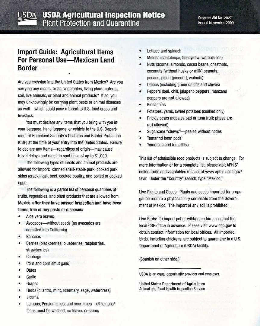
I think I got home about 7:30 and had a dinner date with my wife! Nice to be back home! When can I go back to Baja???
[Edited on 5-4-2017 by David K]
|
|
|
Udo
Elite Nomad
     
Posts: 6364
Registered: 4-26-2008
Location: Black Hills, SD/Ensenada/San Felipe
Member Is Offline
Mood: TEQUILA!
|
|
Great series of trip reports, DK.
Now I got the itch to make the run from Santa Catarina to Bahia Corbin.
Udo
Youth is wasted on the young!
|
|
|
David K
Honored Nomad
        
Posts: 65412
Registered: 8-30-2002
Location: San Diego County
Member Is Offline
Mood: Have Baja Fever
|
|
Thank you Udo. Remote, dirt roads, almost no people. Windy, & foggy, too.
|
|
|
TMW
Select Nomad
      
Posts: 10659
Registered: 9-1-2003
Location: Bakersfield, CA
Member Is Offline
|
|
Thanks DK, excellent as usual.
|
|
|
David K
Honored Nomad
        
Posts: 65412
Registered: 8-30-2002
Location: San Diego County
Member Is Offline
Mood: Have Baja Fever
|
|
De nada, Tom.
I added/ edited several kilometer notes in the Nomad list from notes on these trips.
In the distance of a kilometer (6/10 a mile), it is possible to miss a point. So, I am adding three in-between kilometer notes. In this example,
between KM 152 and 153:
KM 152+ (or perhaps 152.2 ?)
KM 152.5 (approx half way between the two)
KM 152.5+ (or perhaps 152.8 ?)
What is your thinking on this?
Here is the list: http://forums.bajanomad.com/viewthread.php?tid=81948
|
|
|
David K
Honored Nomad
        
Posts: 65412
Registered: 8-30-2002
Location: San Diego County
Member Is Offline
Mood: Have Baja Fever
|
|
2017 Baja Bound Road Guide & Map Research Trips
TRIP #1 (San Felipe to Punta San Francisquito via L.A. Bay): http://forums.bajanomad.com/viewthread.php?tid=85374
TRIP #2 (San Ignacio to Loreto, Ligüí, San Javier, Comondú, La Purísima): http://forums.bajanomad.com/viewthread.php?tid=85756
TRIP #3 (Mexicali to San Felipe, Valle Chico, Matomí, Parral, + El Rosario area): http://forums.bajanomad.com/viewthread.php?tid=85989
TRIP #4 (Valle de Trinidad crossover, San Quintin to Laguna Manuela and 7 Sisters coast road): http://forums.bajanomad.com/viewthread.php?tid=86376
TRIP #5 (Central Baja: El Arco, El Barril, San Francisco de la Sierra, Abreojos, Asuncion, Tortugas, Eugenia, Pronghorn Reserve): http://forums.bajanomad.com/viewthread.php?tid=86781
TRIP #6 (Southernmost Baja: San Ignacio to San Juanico, Loreto to Cabo San Lucas, San Evaristo, and more): http://forums.bajanomad.com/viewthread.php?tid=87323
TRIP #7 (Pacific North, San Pedro Mártir Mountains): http://forums.bajanomad.com/viewthread.php?tid=87976
In 2018:
TRIP #8 (Both sections of Hwy. 3, Laguna Hanson roads, Hwy. 5 revisit): http://forums.bajanomad.com/viewthread.php?tid=91029
[Edited on 3-20-2019 by David K]
|
|
|
fishbuck
Banned
Posts: 5318
Registered: 8-31-2006
Member Is Offline
|
|
Wow! Cool trip.
The Pacific is terrific.
The Tacoma is an excellent truck.
Beautiful beaches.
Secret surf spots.
This report has everything. Nice
[Edited on 7-7-2019 by fishbuck]
"A ship in harbor is safe, but that is not what ships are built for." J. A. Shedd.
A clever person solves a problem. A wise person avoids it. – Albert Einstein
"Life's a Beach... and then you Fly!" Fishbuck
|
|
|
David K
Honored Nomad
        
Posts: 65412
Registered: 8-30-2002
Location: San Diego County
Member Is Offline
Mood: Have Baja Fever
|
|
Here on Nomad, the Photobucket images are no longer sized to fit the page and have watermarks, but not where I also shared the trip report on Tacoma
World... odd?? I have been paying to prevent that.
Here is the trip report, as it should appear: https://www.tacomaworld.com/threads/2017-baja-expedition-4-v...
|
|
|
| Pages:
1
2
3
4 |
|

