David K
Honored Nomad
        
Posts: 65408
Registered: 8-30-2002
Location: San Diego County
Member Is Offline
Mood: Have Baja Fever
|
|
Camino Real to Comondu Viejo (Maps and Satellite images)
The Comondu mission from 1708 to 1736 was many miles north of today's San Jose Comondu (where the mission was moved to).
The Camino Real went north from San Miguel (at today's San Miguel Comondu) to the first Comondu mission site...
Map of the Comondu Camino Real routes...
Harry Crosby (Mr. El Camino Real, himself) in his 1994 Jesuit California history book 'Antigua California' provided the general location of where to
look for the Comondu Camino Real routes:
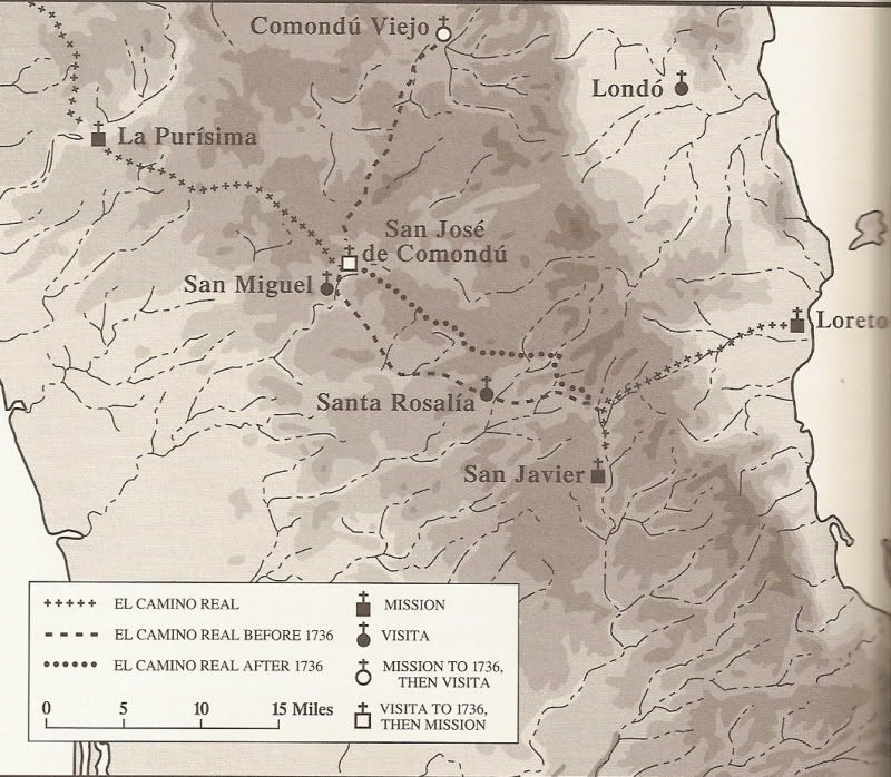
Using Google Earth, the next task is to look for signs of Jesuit road construction in that region and connecting the mission sites.
Then, plotting the image location on modern topo maps...
Blue line is the common route usually discussed and covered in my extensive Camino Real from Space series on Nomad.
Green line shows the other two Camino Real routes... the one north to the first mission location ('Comondu Viejo') with images CV-A to CV-4 poited
out, and the newer rout from/ to Loreto made after the mission was moved (post 1736 El Camino Real) with images C-1 to C-9 pointed out.

Placing marker pins where the old road can be seen on a high view image helps...
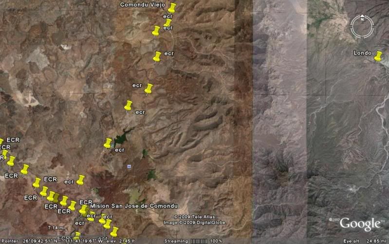
Then I go back and save several close up images to show you what the road and terrain look like:
CV-A
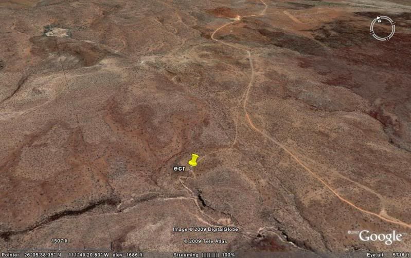
CV-1
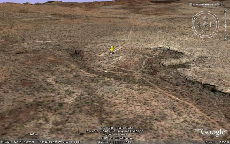
CV-2
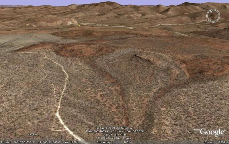
CV-3
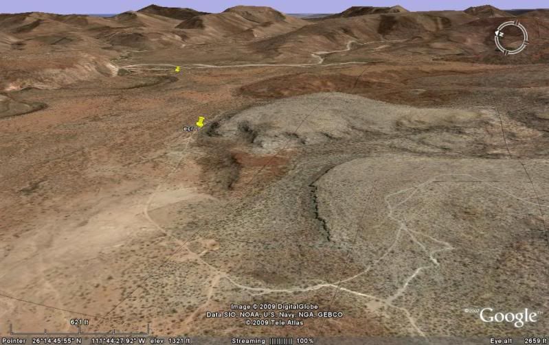
CV-4
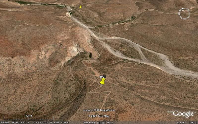
That marker pin in the background is Comondu Viejo. Photos at the original mission site on my Baja Missions web page, link below ...
Stay tuned for the Post 1736 Comondu Camino Real section...
|
|
|
Neal Johns
Super Nomad
   
Posts: 1687
Registered: 10-31-2002
Location: Lytle Creek, CA
Member Is Offline
Mood: In love!
|
|
OK, I'm tuned.
Keep up the good work.
My motto:
Never let a Dragon pass by without pulling its tail!
|
|
|
David K
Honored Nomad
        
Posts: 65408
Registered: 8-30-2002
Location: San Diego County
Member Is Offline
Mood: Have Baja Fever
|
|
Photos at Comondú Viejo
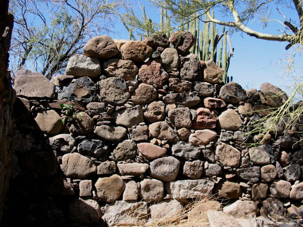
Photo taken at ruins of the original location by Jack Swords, now called
Comondú Viejo. The mission was moved in 1736 to the visita of
'San Ignacio', 22 miles south. The mission name was not changed with the move.
GPS: 26°16'27.4" 111°43'08.5"
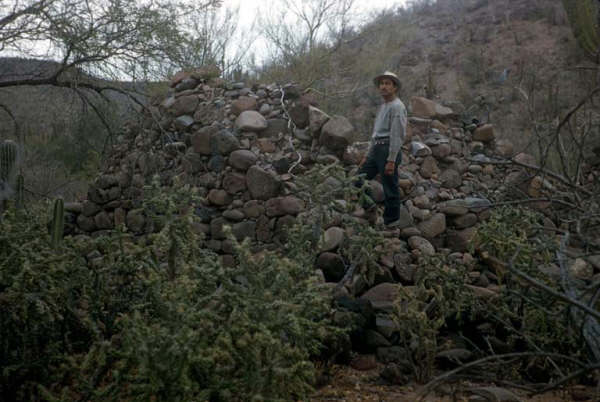
Comondu Viejo in 1956 photo by Howard Gulick
|
|
|
Udo
Elite Nomad
     
Posts: 6364
Registered: 4-26-2008
Location: Black Hills, SD/Ensenada/San Felipe
Member Is Offline
Mood: TEQUILA!
|
|
Great info, DK.
I'll plan on a drive with the FJ one of these days.
p.s. I am just about all on my own on nutrition. I no longer have a built-in IV. Sure is nice to just walk into a shower without spending 15 minutes
covering parts of the body that should not get wet.
Udo
Youth is wasted on the young!
|
|
|
David K
Honored Nomad
        
Posts: 65408
Registered: 8-30-2002
Location: San Diego County
Member Is Offline
Mood: Have Baja Fever
|
|
Quote: Originally posted by Udo  | Great info, DK.
I'll plan on a drive with the FJ one of these days.
p.s. I am just about all on my own on nutrition. I no longer have a built-in IV. Sure is nice to just walk into a shower without spending 15 minutes
covering parts of the body that should not get wet. |
I am so happy to hear that you are healing well! For someone who was so much into food and drink, it was a real nasty thing to happen!
|
|
|

