mcfez
Elite Nomad
     
Posts: 8678
Registered: 12-2-2009
Location: aka BN yankeeirishman
Member Is Offline
|
|
Easter week in San Felipe
1000 reasons why NOT to camp on the malecon!
[Edited on 9-10-2010 by mcfez]

Old people are like the old cars, made of some tough stuff. May show a little rust, but good as gold on the inside.
|
|
|
bkbend
Senior Nomad
  
Posts: 695
Registered: 11-27-2003
Location: central OR or central baja
Member Is Offline
|
|
It's not really that bad of an experience and something folks should try... once. Will be the source of some good stories later -- after the shock
wears off.
|
|
|
David K
Honored Nomad
        
Posts: 65361
Registered: 8-30-2002
Location: San Diego County
Member Is Offline
Mood: Have Baja Fever
|
|
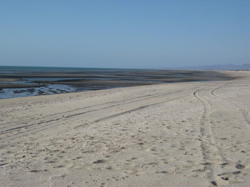
Just a few miles south of that jungle, you can enjoy this...
|
|
|
E.D.R.Rick
Junior Nomad

Posts: 36
Registered: 2-24-2010
Location: sacramento/san felipe
Member Is Offline
|
|
hey I know that place thats shell something?
|
|
|
David K
Honored Nomad
        
Posts: 65361
Registered: 8-30-2002
Location: San Diego County
Member Is Offline
Mood: Have Baja Fever
|
|
Hint... it is surrounded by water at the highest tides. 
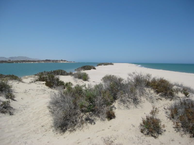
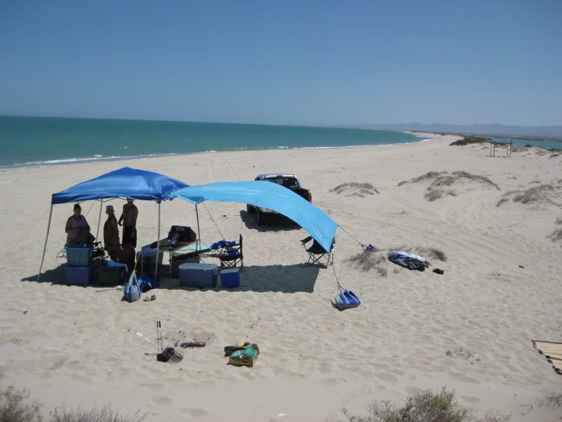
We are usually the only people there... as far as one can see!
The sunsets are great!
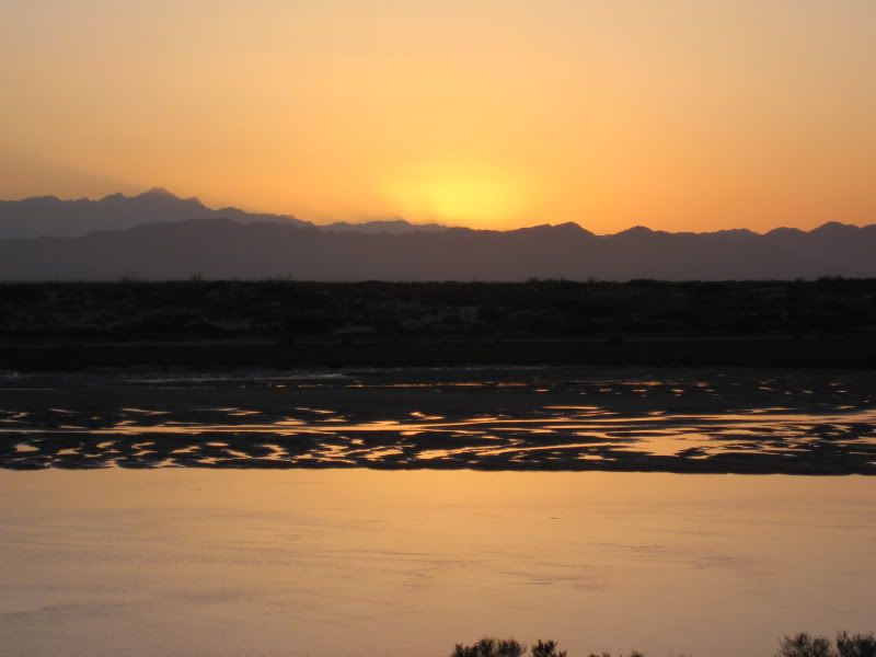
The tide goes wayyy out!
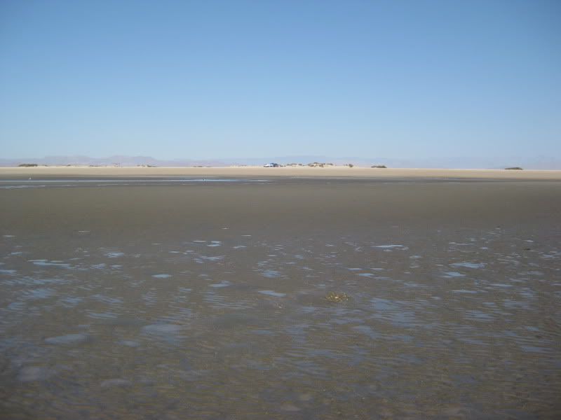
Exposing treasures...
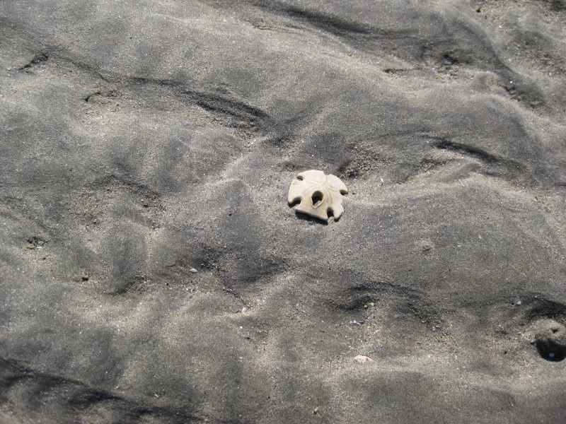
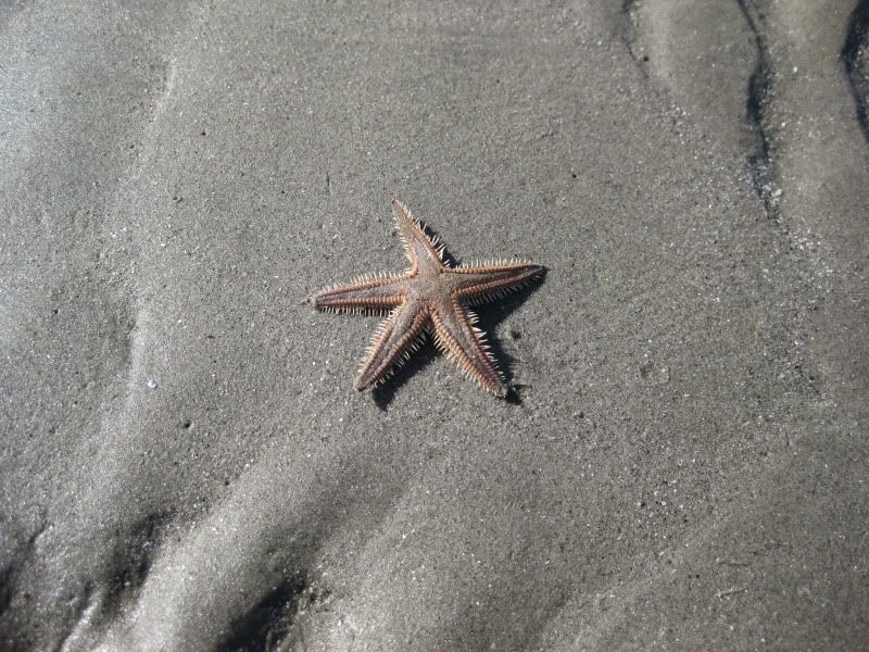
and critters!
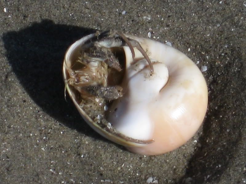
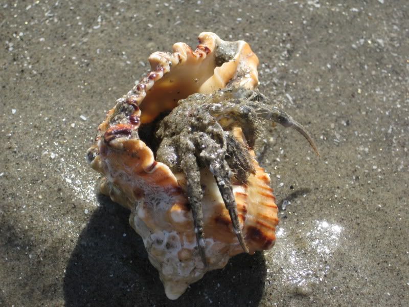
Seriously, you can just drive a few miles out of San Felipe and have a good time... the crowds are avoidable!
|
|
|
mcfez
Elite Nomad
     
Posts: 8678
Registered: 12-2-2009
Location: aka BN yankeeirishman
Member Is Offline
|
|
DavidK..I'm confused a bit...
We tried to find this paradise of yours, and not sure if we did find it! Is the turn off out there where opposite of the sulfur mine exit is? Left
of the Octagon Houses?
The malecon do offer hot showers and restrooms though...
I think Playa Pescado north of town is a GREAT place. Sandy beaches, shower (cold), water, quad trails......fishing is poor. One can hike over to
Crystal Cove which is good for snorkeling. Hardly ever anyone there.....about 5 bucks to pass in.
Old people are like the old cars, made of some tough stuff. May show a little rust, but good as gold on the inside.
|
|
|
E.D.R.Rick
Junior Nomad

Posts: 36
Registered: 2-24-2010
Location: sacramento/san felipe
Member Is Offline
|
|
someone told me its right past marker 27 then look for 2 brick posts about 4 feet high? how bought it David K?
|
|
|
David K
Honored Nomad
        
Posts: 65361
Registered: 8-30-2002
Location: San Diego County
Member Is Offline
Mood: Have Baja Fever
|
|
McFez and Rick, I have posted directions to Shell Island countless times and will do so again... My reason is that Baja is for anyone who is able to
enjoy it... and the harder it is to get someplace, the more it is appreciated!
The access road is just over 3 miles south of Rancho (Laguna) Percebu's road... It is at Km. 26 and yes, there are cinder block columns marking the
road.
4WD is best once off Hwy. 5 because of drift sand over the once graded road... It is 2 miles to the beach, but before reaching the beach the mud/salt
flats must be crossed, and during full or new moons, the sea level may encroach to this point requiring you to risk driving through sea water or avoid
the island until the smaller tides of a quarter moon phase.
The island is 4 miles long with Bahia Santa Maria to the south one mile and Laguna Percebu north, three miles.
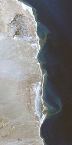
|
|
|
David K
Honored Nomad
        
Posts: 65361
Registered: 8-30-2002
Location: San Diego County
Member Is Offline
Mood: Have Baja Fever
|
|
| Quote: | Originally posted by mcfez
We tried to find this paradise of yours, and not sure if we did find it! Is the turn off out there where opposite of the sulfur mine exit is? Left
of the Octagon Houses?
|
Sulfur Mine exit? Octagon house?
The sulfur mine is easiest to reach by turning west on the original Nuevo Mazatlan road at Km. 32... just north of the new Nuevo Mazatlan road... It
is approx. 4.5 miles to the sulfur mine, which is along the old Puertecitos road, mostly north of where the Nuevo Mazatlan road reaches the old
Puertecitos road.
Here is a map I drew 28 years ago when they built the new road south of San Felipe... You can see the roads leading to the Sulfur Mine... Km. 31 is
the Bahia Santa Maria road crossing and Km. 32 the Nuevo Mazatlan road crossing Hwy. 5. The new Shell Island access was not yet built, so ignore the
road (and mileages) to the one shown.
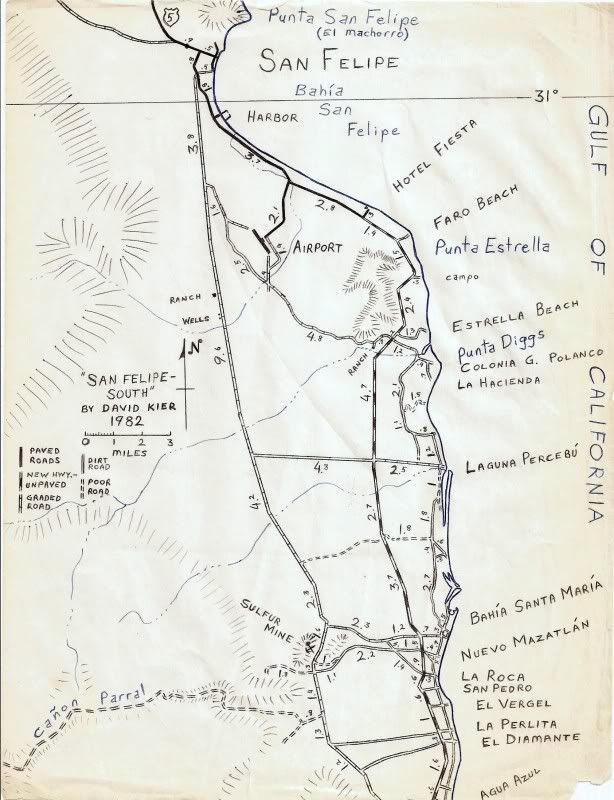
|
|
|
mcfez
Elite Nomad
     
Posts: 8678
Registered: 12-2-2009
Location: aka BN yankeeirishman
Member Is Offline
|
|
Yep...got it now! Thanks DavidK
| Quote: | Originally posted by David K
McFez and Rick, I have posted directions to Shell Island countless times and will do so again... My reason is that Baja is for anyone who is able to
enjoy it... and the harder it is to get someplace, the more it is appreciated!
The access road is just over 3 miles south of Rancho (Laguna) Percebu's road... It is at Km. 26 and yes, there are cinder block columns marking the
road.
4WD is best once off Hwy. 5 because of drift sand over the once graded road... It is 2 miles to the beach, but before reaching the beach the mud/salt
flats must be crossed, and during full or new moons, the sea level may encroach to this point requiring you to risk driving through sea water or avoid
the island until the smaller tides of a quarter moon phase.
The island is 4 miles long with Bahia Santa Maria to the south one mile and Laguna Percebu north, three miles.
 |
Old people are like the old cars, made of some tough stuff. May show a little rust, but good as gold on the inside.
|
|
|

