| Pages:
1
2
3
4 |
David K
Honored Nomad
        
Posts: 65402
Registered: 8-30-2002
Location: San Diego County
Member Is Offline
Mood: Have Baja Fever
|
|
Memorial Day 2013: Shell Island (Between San Felipe and Puertecitos)
With only a couple exceptions, we typically go to Shell Island over Memorial Day weekend. The weather is great, the sea water is not as warm as we
like best, but okay for short swims, and we mostly need to get away from civilization by the time late May rolls around.
We had not planned to go until Friday noon when Baja Angel (my wife and best friend) said she needs a Baja beach fix!
We left home at 5:30am Saturday, stopped for breakfast along the way and arrived in San Felipe a little after 11 am... topped the gas tank, bought a
case of Tecate Light and a few sodas and headed first for Baja Rob's in Bahia Santa Maria. A lot of activities were happening and despite his
strongest efforts to have us stay in his great guest room (which we have many times) and join in the fiestas, we had to decline as peace and quiet is
what Baja Angel really needed, and camping on Shell Island nearly always provides that tranquility.
The highest tide of the month was that day (Saturday, May 25) at 2:40pm and a whopping 19.7 feet... Anything over 18.5 feet surrounds Shell Island
with sea water (why I call it an 'Island' and not just a 'Beach'... as shown on many maps, too:
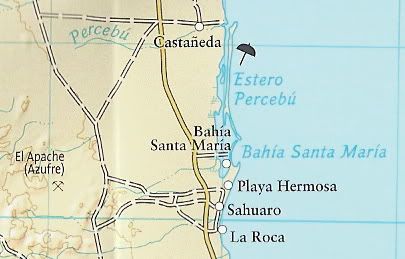
There is no 'Castaņeda', but Rancho Percebu (formerly Laguna Percebu) is at the end of that road going to the beach opposite the north tip of Shell
Island.
So, after visiting with Rob for a while, we headed back north to the access road to the island... and as we neared the beach, the tide already had
flooded the access... This is where 4WD, good tires, and Toyota's Active Traction Control makes getting to tough places less stressful than otherwise!
One patch of gooey mud and the Tacoma goes sideways briefly, but counter-steering put us back on course and soon we were out of the mud and onto the
sand. I got as far as the water's edge before I had to deflate the tires for floatation. Even super traction 4WD is no match for the bottomless
sand/shell mix of this beach. Dropping the pressure to 18 psi is enough for the brand of tires I have on the truck (Hankook Dynapro ATM)... some other
brands require less pressure to keep from digging into the sand.
While I let the air out, Baja Angel takes some photos...
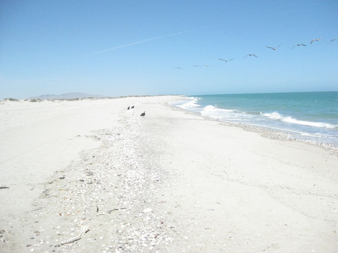
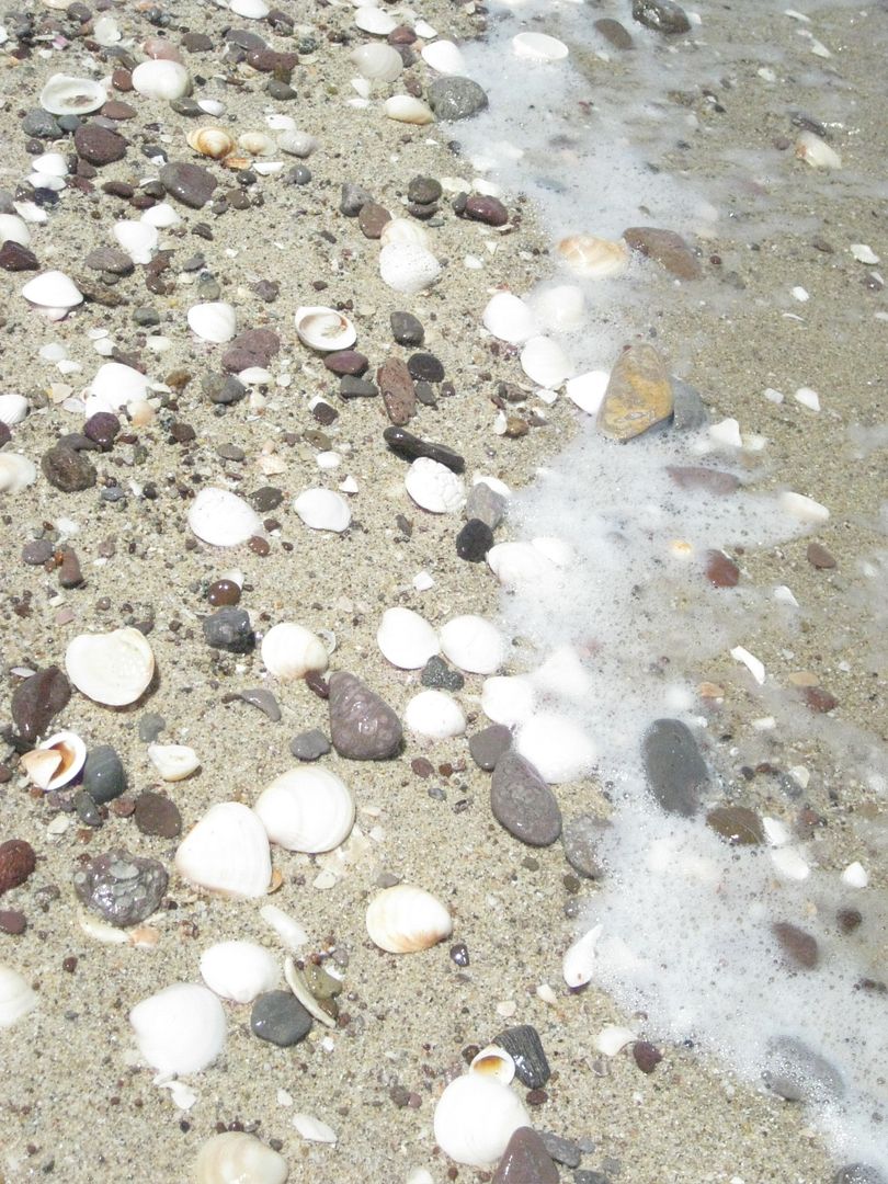
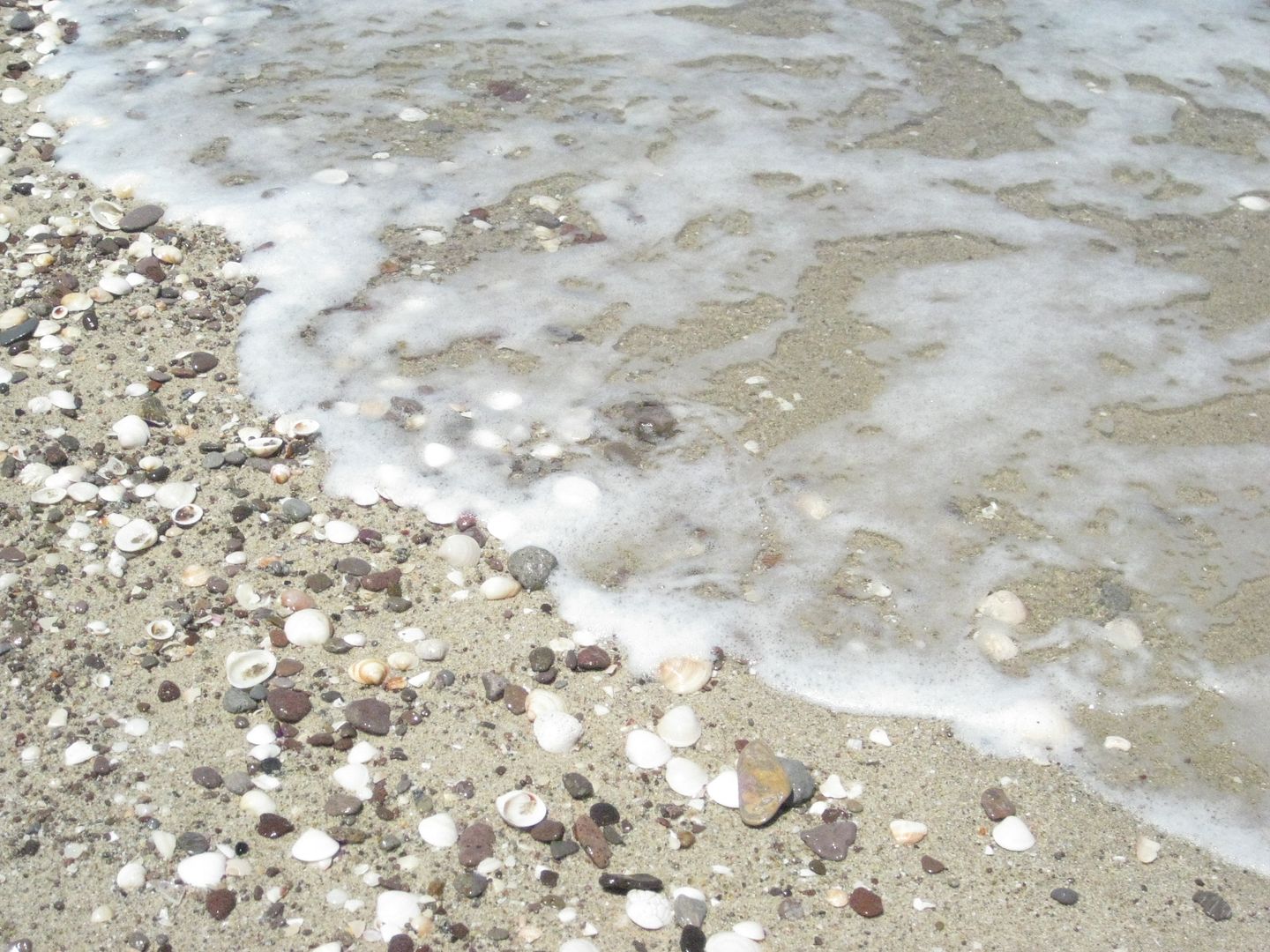
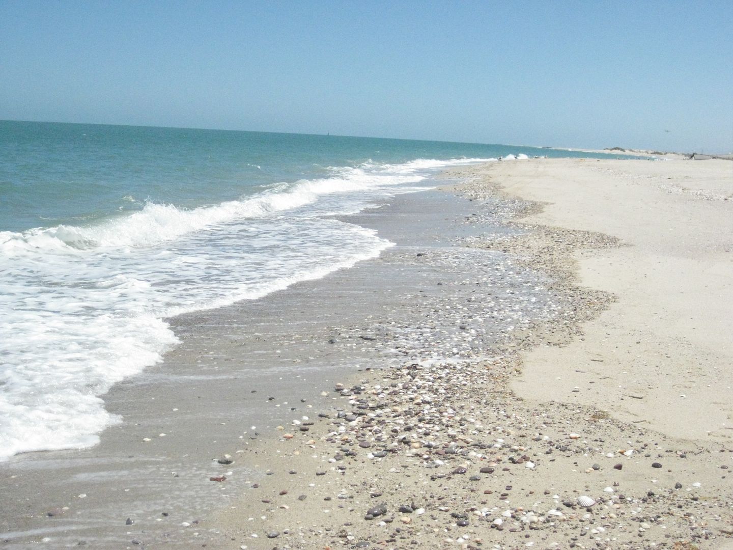
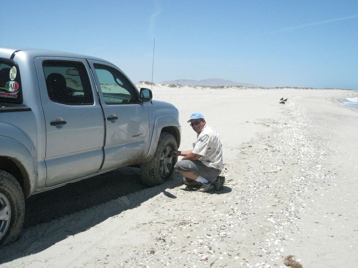
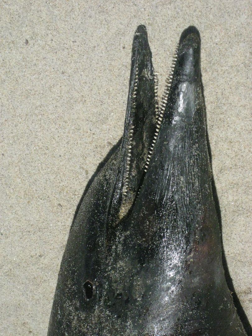
There is a dead porpoise on the beach nearby... and later we would find 5 dead porpoises along the 4.5 mile long barrier island beach, evenly
separated. It is a sad sight and had us wonder if it was an act of nature or commercial fishing that caused this. I have never seen more than one dead
whale or porpoise in a single trip here, since 1978.
Well the tide was already so high, reaching the brush of the dunes, we could not get to our typical camp site. So, we just parked where we could get
and waited for the tide to go back down... We went for a swim, had some cold beer, and just relaxed... for about 3 hours...
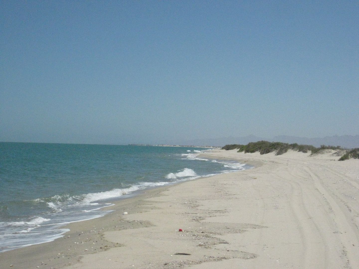
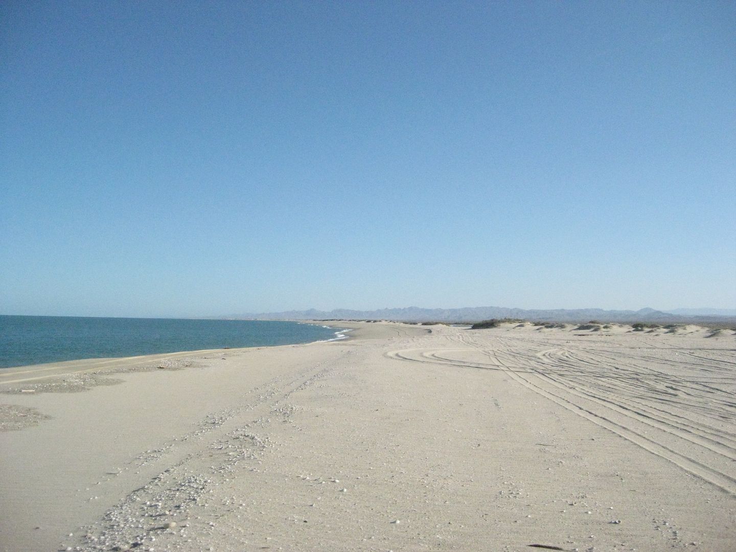
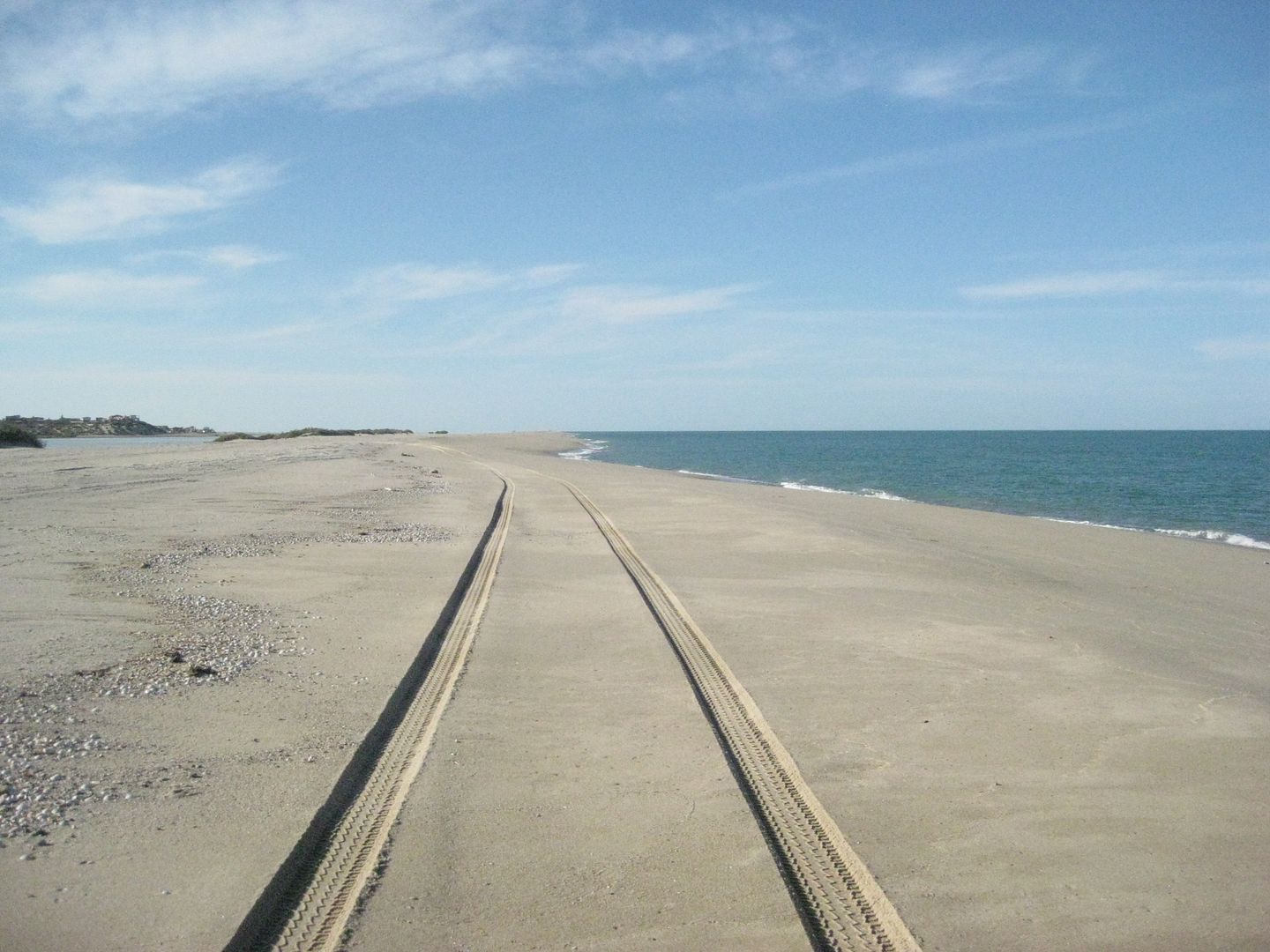
East Side of the island, looking south towards Bahia Santa Maria.
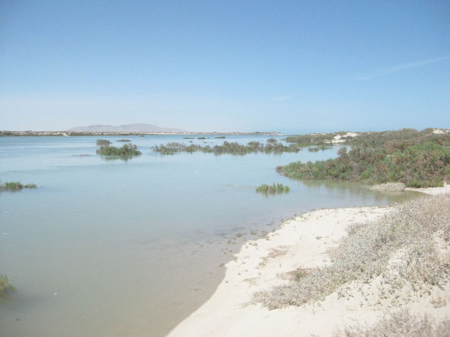
West Side of the island, looking north towards Percebu.
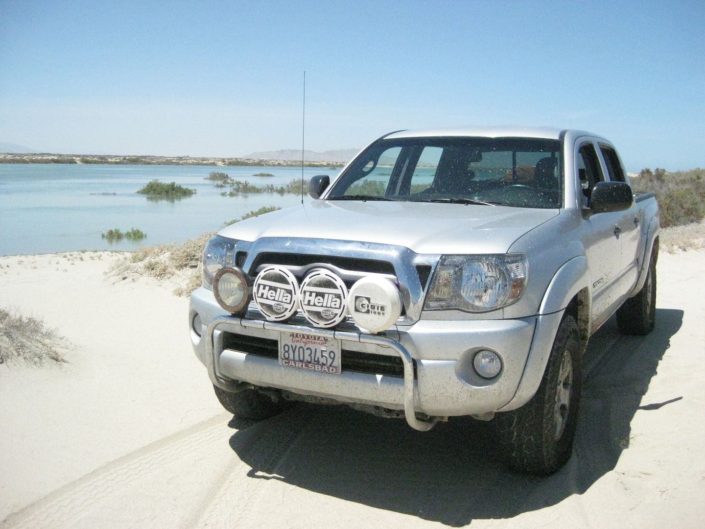
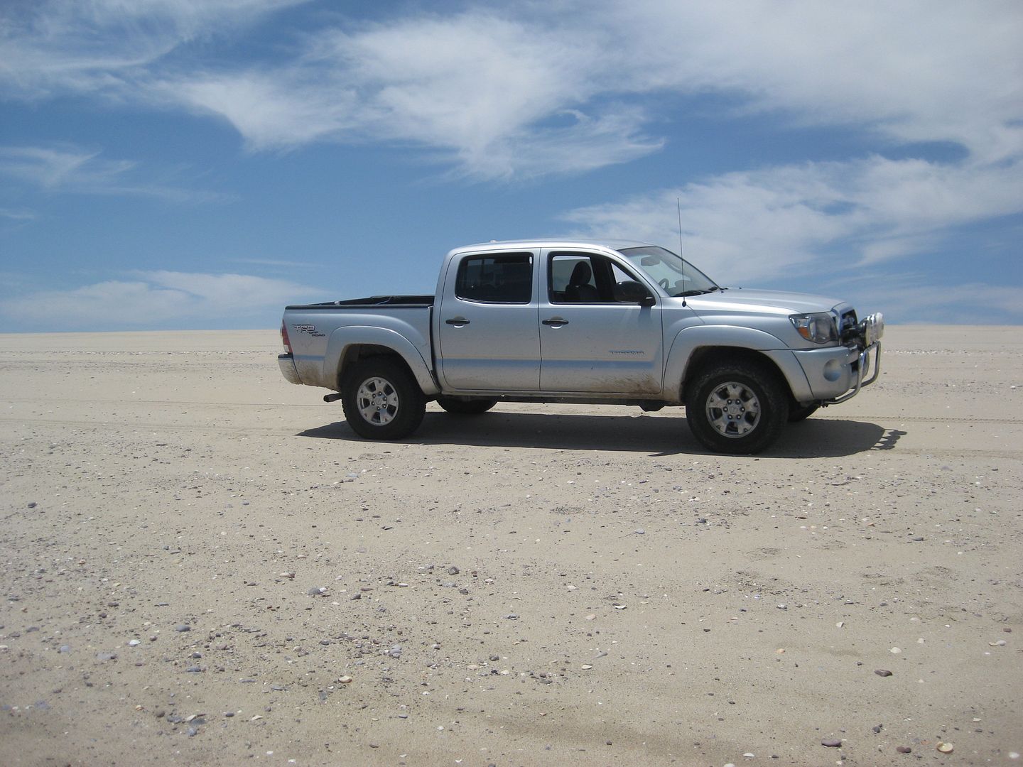
My truck just inches above sea level! (I have been in the same place over the past 35 years... and it still is 'above sea level'  ) )

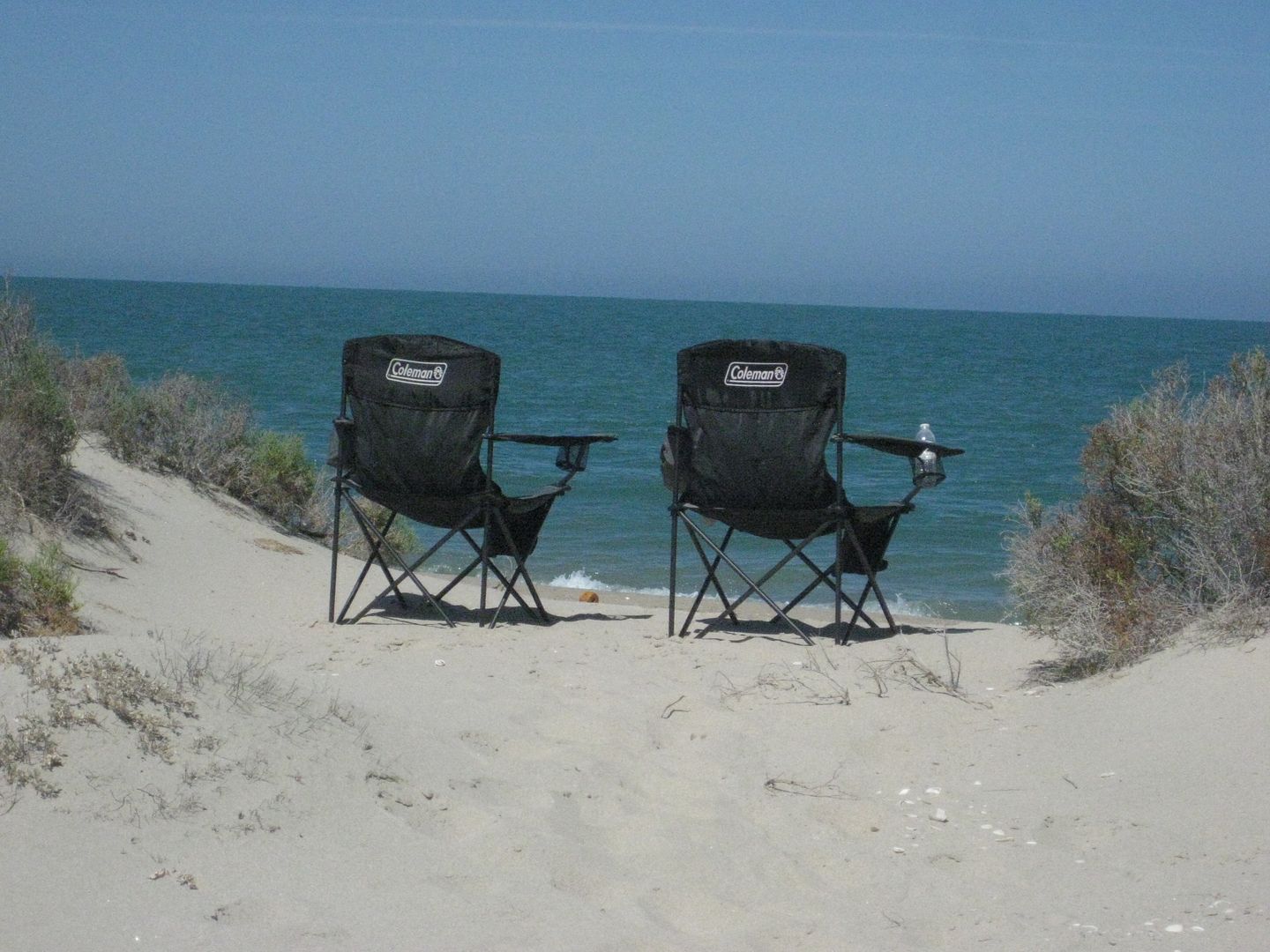
The Baja Feeling! 
Stay Tuned for more to come!
[Edited on 6-16-2013 by David K]
|
|
|
David K
Honored Nomad
        
Posts: 65402
Registered: 8-30-2002
Location: San Diego County
Member Is Offline
Mood: Have Baja Fever
|
|
Part 2: Getting to our camp on the island
The tide turns around quickly and the steep beach is exposed after a couple of hours... We leave the point where the dunes and high tide had stopped
us and head a bit further north.
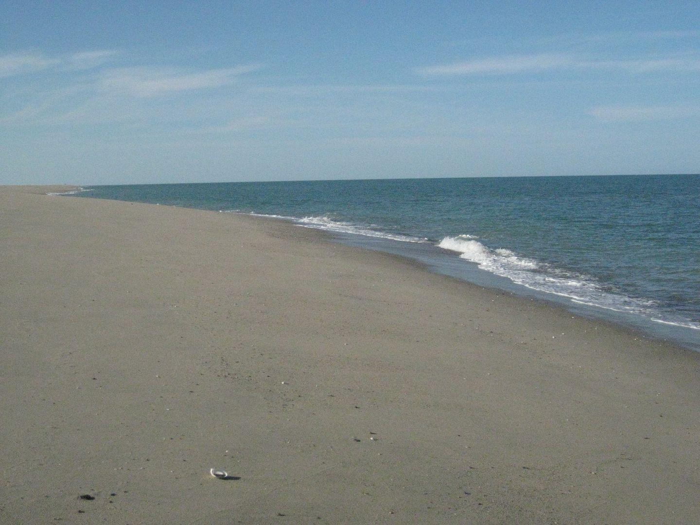
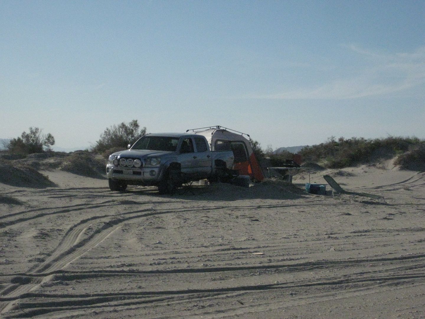
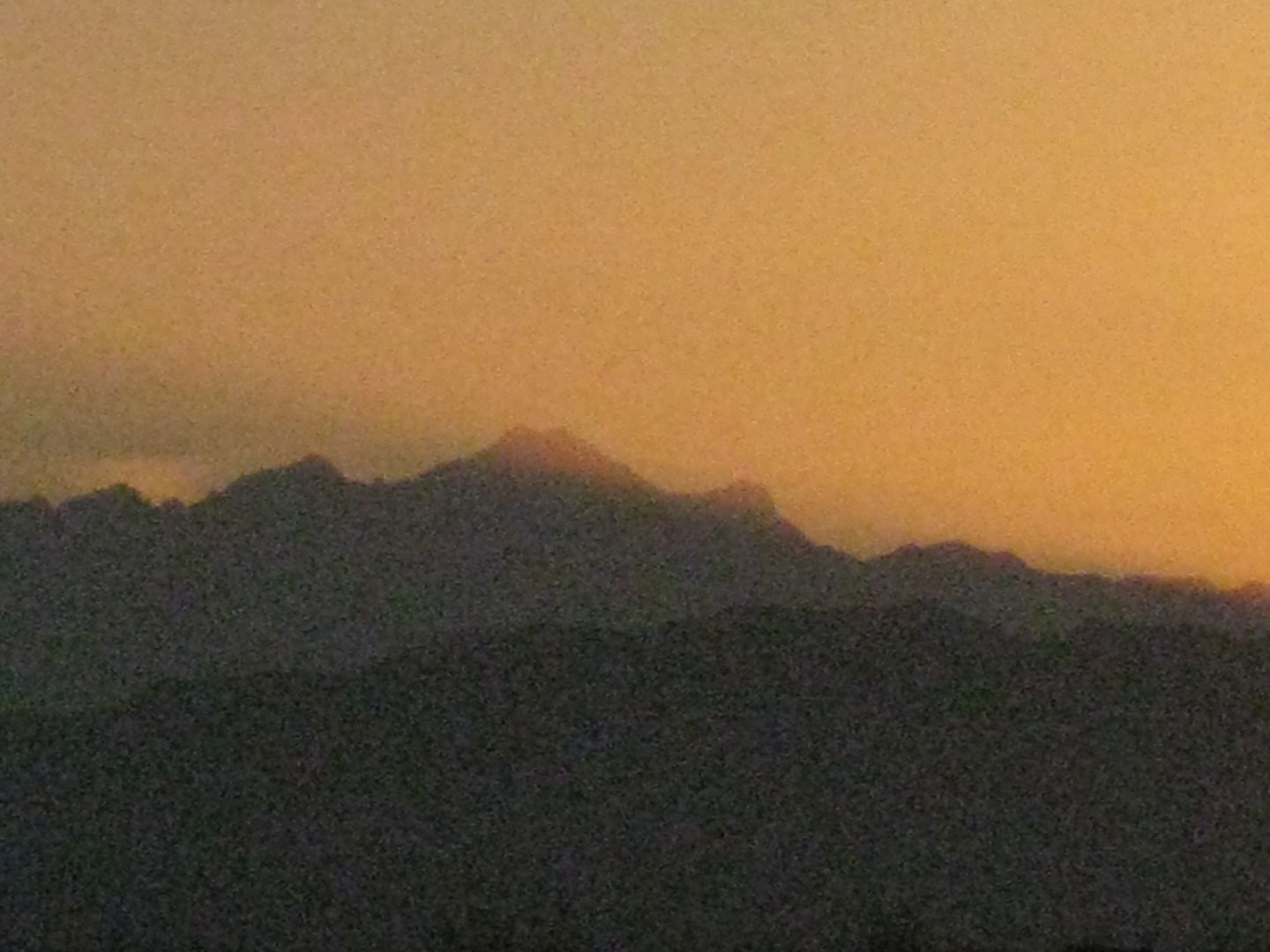
We know that Graham, Desert Rat, and one other amigo is trying to reach the top of Diablo Mountain at this moment... Here it is just after sunset on
Saturday:
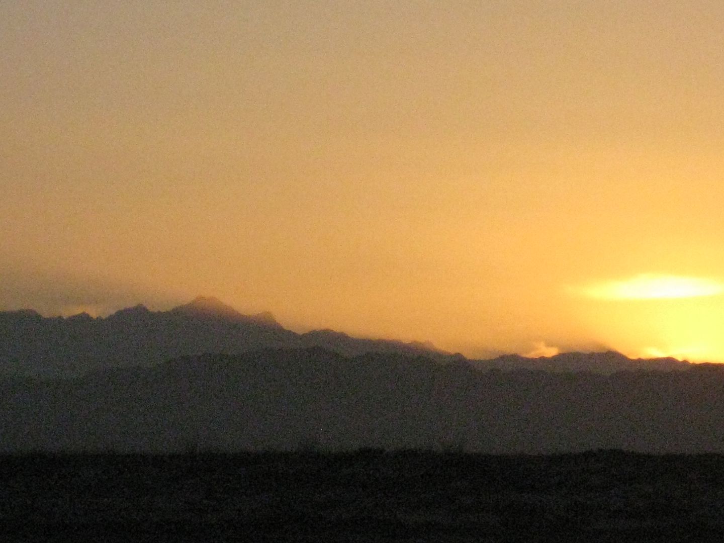
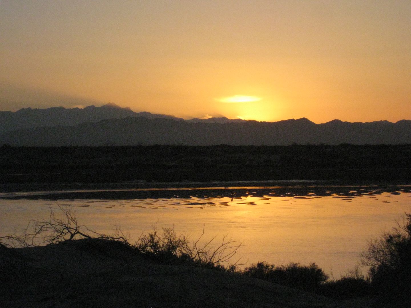
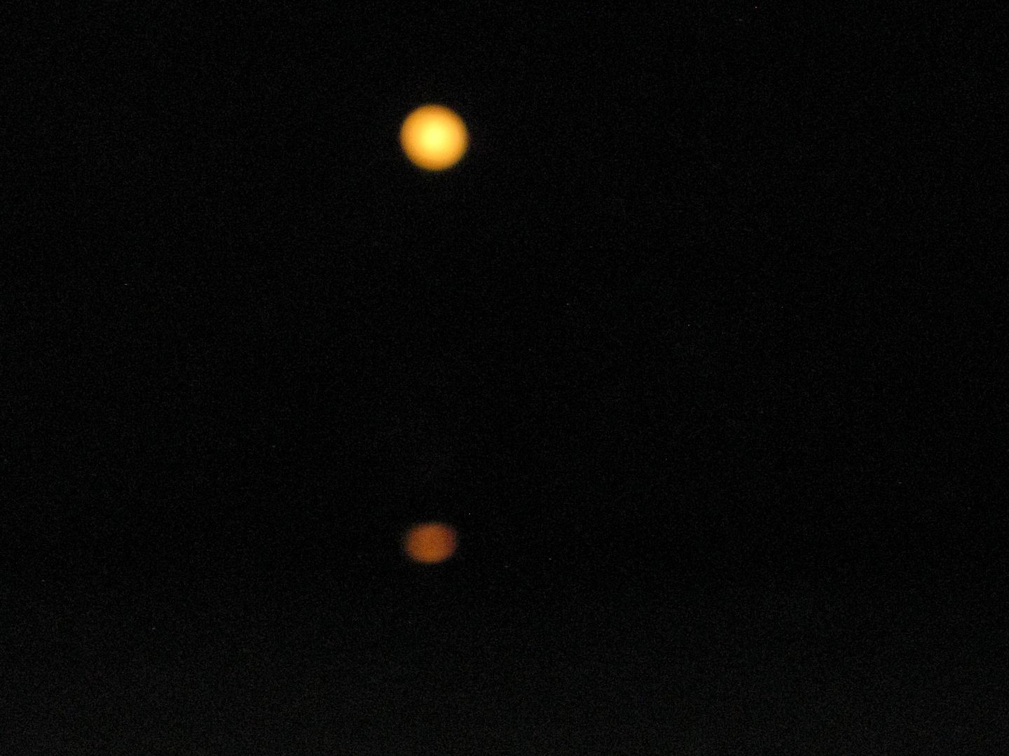
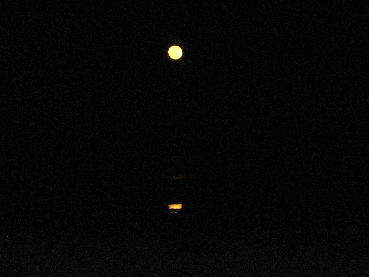
The moon is next to make an appearance, and at one day after full, it is still big in the sky...
Sunday Morning...
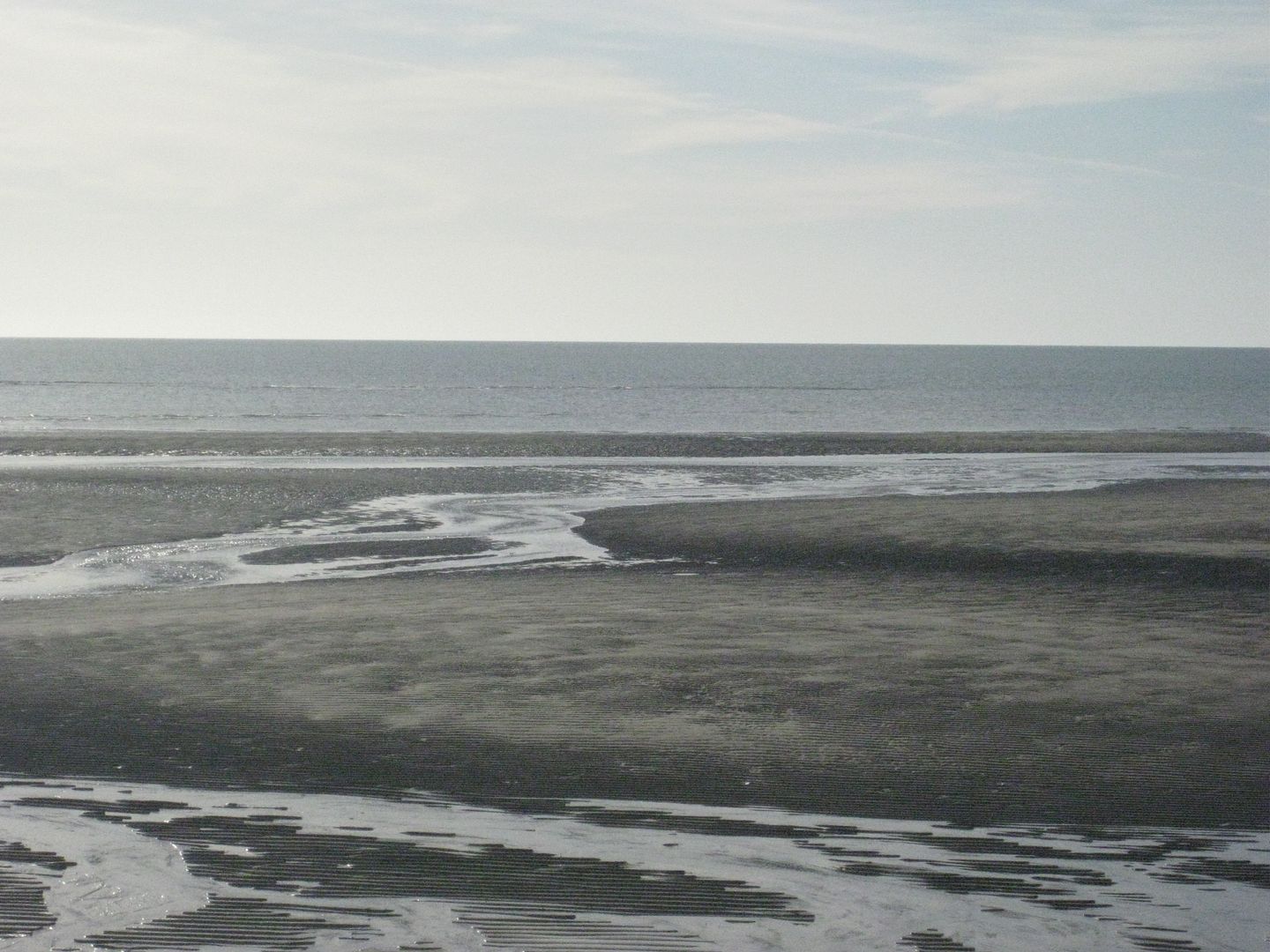
I get up and take a walk out onto the sand bars being it is low tide....
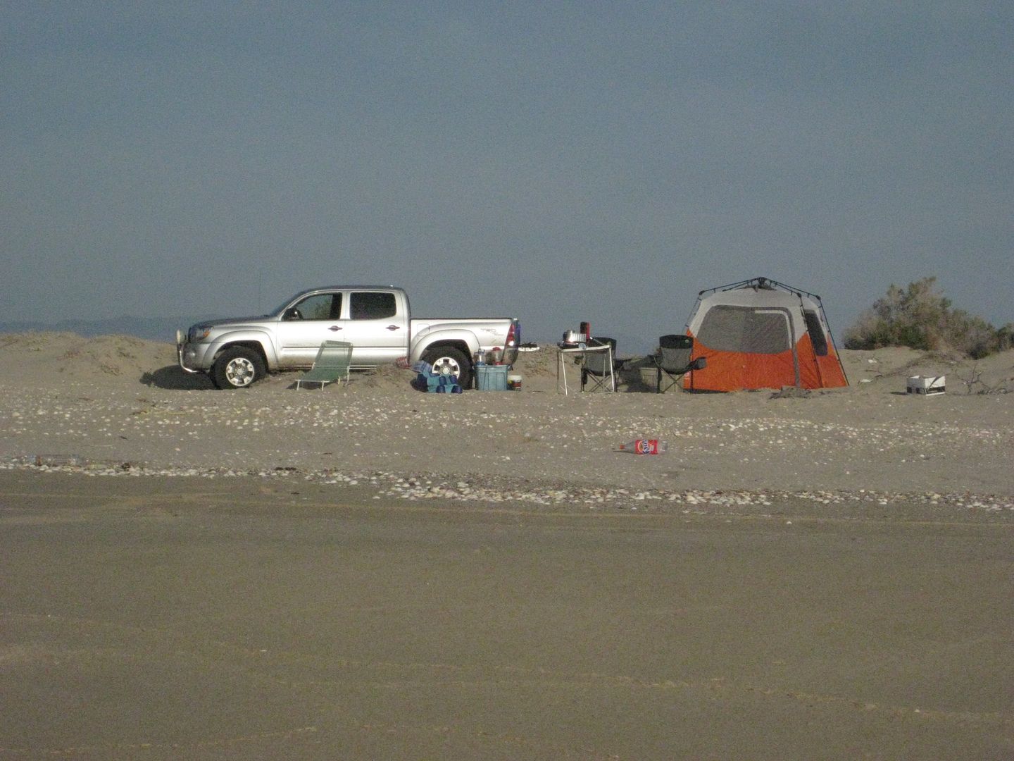
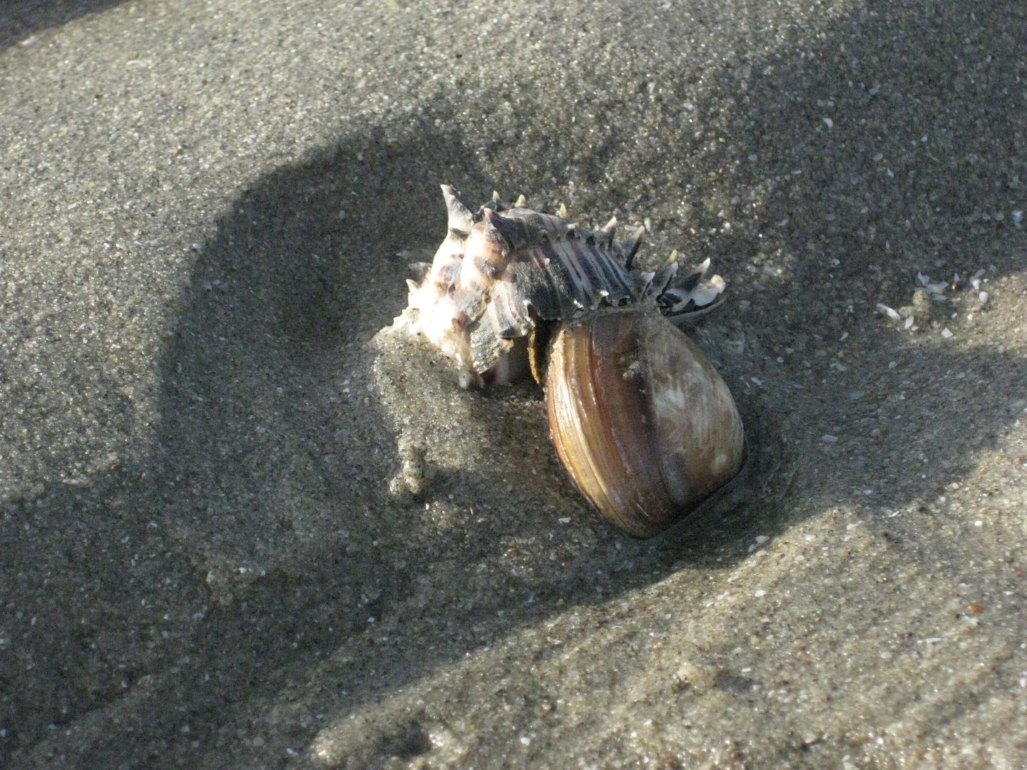
A happily mixed-marriage couple?
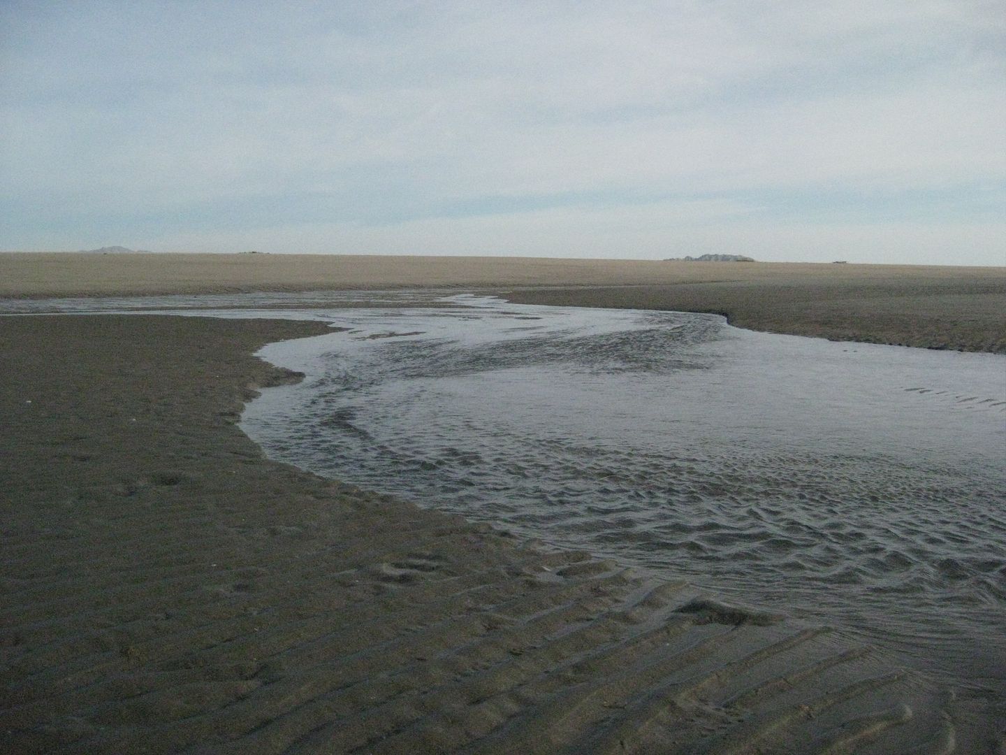
Above: it isn't hard to walk a long ways into the ocean, when the tide is low!
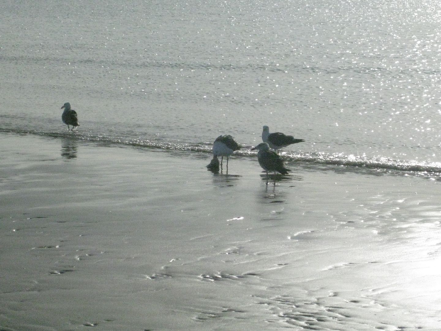
Below: One gull has a fish, and he doesn't share!
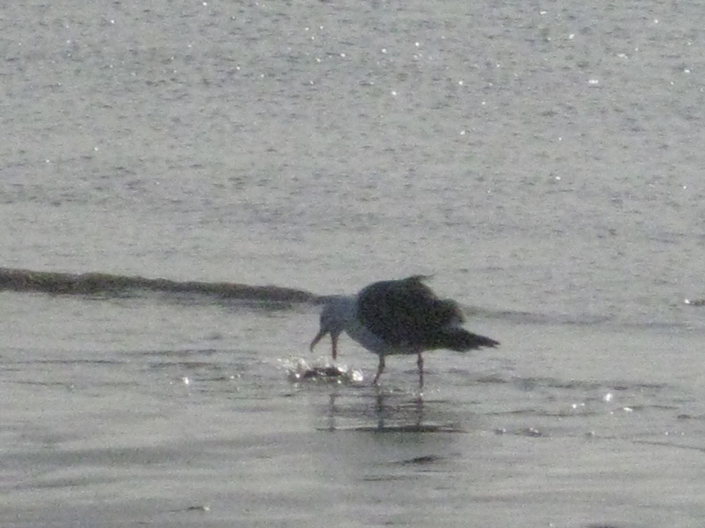
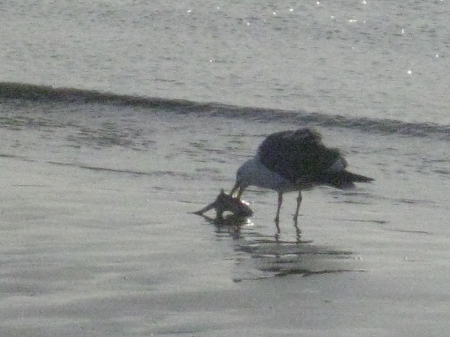
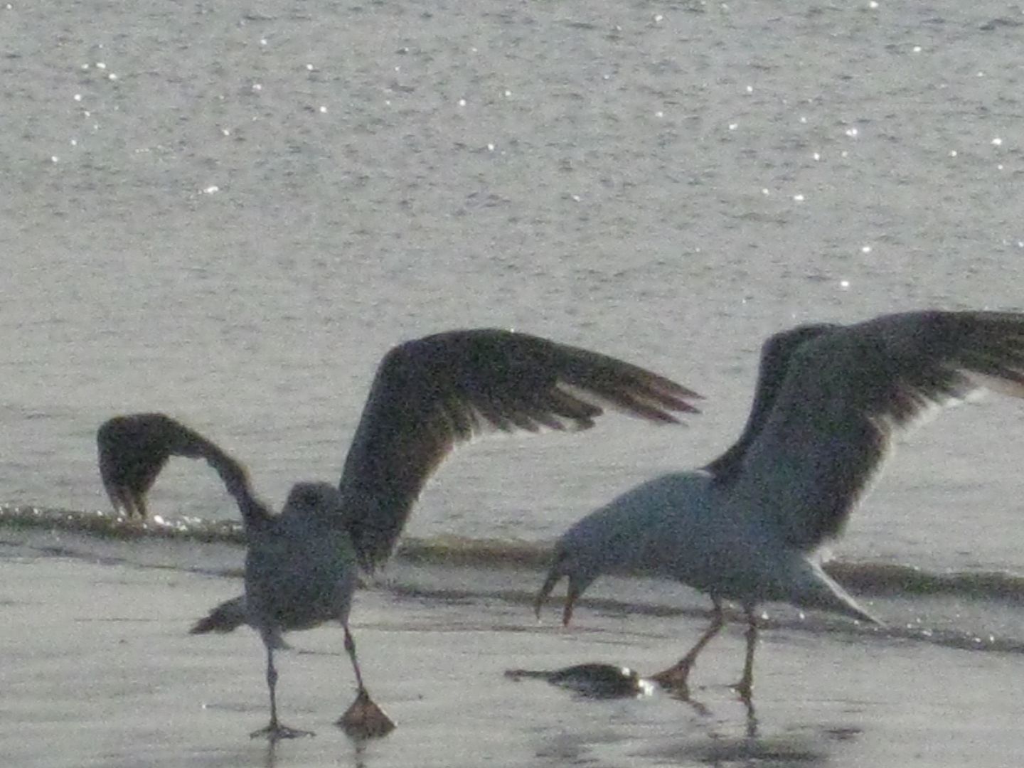
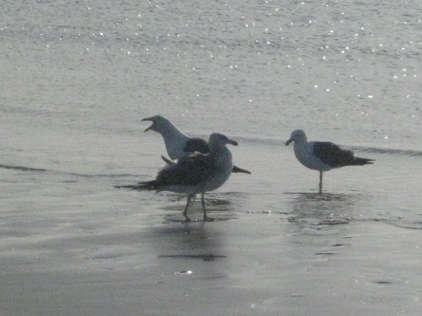

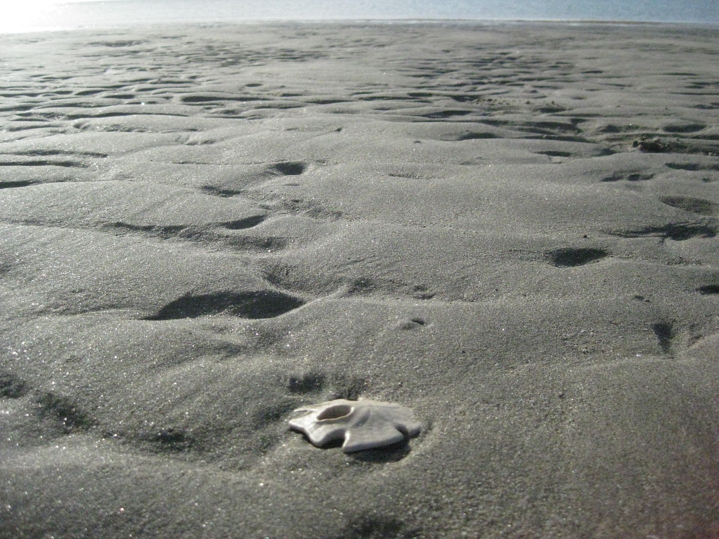
It's a LONG ways the sea goes out... here's looking back to camp:

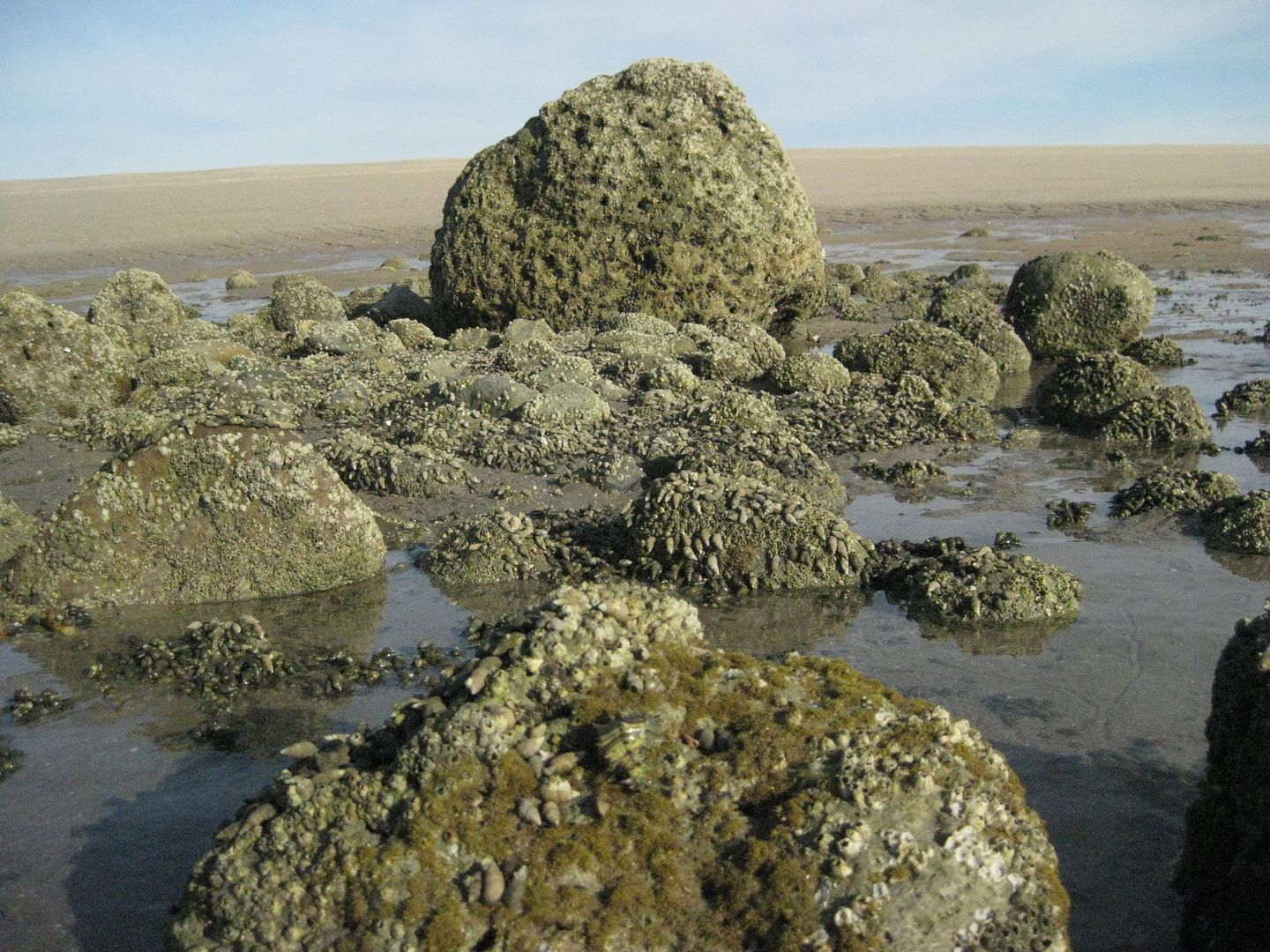
A few rocks are north of our camp and it makes a home for millions of small hermit crabs and snails...
Time to head back, make some coffee, and enjoy breakfast with my wife...
STAY TUNED for MORE! 
[Edited on 5-28-2013 by David K]
|
|
|
Ateo
Elite Nomad
     
Posts: 5938
Registered: 7-18-2011
Member Is Offline
|
|
Keep it coming DK......Thanks.
|
|
|
David K
Honored Nomad
        
Posts: 65402
Registered: 8-30-2002
Location: San Diego County
Member Is Offline
Mood: Have Baja Fever
|
|
Hi Jon, thank you... I am off to Encinitas for an appointment but will continue later!
|
|
|
monoloco
Elite Nomad
     
Posts: 6667
Registered: 7-13-2009
Location: Pescadero BCS
Member Is Offline
|
|
Looks just like your last trip there.
|
|
|
BajaBlanca
Select Nomad
      
Posts: 13242
Registered: 10-28-2008
Location: La Bocana, BCS
Member Is Offline
|
|
The peace that is conveyed by your photos is just wonderful. Baja angel sure must be rested after that great escape!
|
|
|
sancho
Ultra Nomad
    
Posts: 2524
Registered: 10-6-2004
Location: OC So Cal
Member Is Offline
|
|
| Quote: | Originally posted by David K
My truck just inches above sea level! (I have been in the same place over the past 35 years... and it still is 'above sea level'
The Baja Feeling!
[Edited on 5-28-2013 by David K] |
I've read your posts/positions long enough to know what
that refers to, looks like you have the newer Coleman
Instatent, how's that working out? The Baja Feeling.
reminds me of the B Hunter book of the same
|
|
|
mtgoat666
Platinum Nomad
       
Posts: 20332
Registered: 9-16-2006
Location: San Diego
Member Is Offline
Mood: Hot n spicy
|
|
| Quote: |
My truck just inches above sea level! (I have been in the same place over the past 35 years... and it still is 'above sea level'
The Baja Feeling!
|
glad to hear!
fyi, in past 35 years the global average sea level rise has been about about 3 inches,... perhaps not very noticeable in northern SOC where tidal
range is 15 to 20 feet,...
of course, the barrier island is dynamic geologic environment, with howling winds (typical for the area) and storm waves constantly eroding and
depositing sediment,... so perhaps not easy to visually recognize SL rise w/o some detailed elevation survey data,... just saying!
glad you enjoyed your trip!
|
|
|
Bob H
Elite Nomad
     
Posts: 5867
Registered: 8-19-2003
Location: San Diego
Member Is Offline
|
|
Wonderful, relaxing, trip report David!! Did you see any other people on the island while you were there?
The SAME boiling water that softens the potato hardens the egg. It's about what you are made of NOT the circumstance.
|
|
|
David K
Honored Nomad
        
Posts: 65402
Registered: 8-30-2002
Location: San Diego County
Member Is Offline
Mood: Have Baja Fever
|
|
| Quote: | Originally posted by Bob H
Wonderful, relaxing, trip report David!! Did you see any other people on the island while you were there? |
Nobody camping on the island... there is a fishing camp just south of that useless concrete bridge that has the same truck parked in front that pulled
Art's 4WD motorhome out of the mud in July 2011.
On Sunday, Baja Nomad 'viabaja' (Chris) of http://viabaja.com walked down from Percebu at low tide to see if it was me... We chatted for a bit before he and his two silver labs had to beat
the incoming high tide to get back across to Percebu. Later, someone kayaked across the Estero Percebu (Laguna Percebu) to get to Shell Island at high
tide, and tried fishing for a few minutes.
As viabaja said, "David K is the only I know crazy enough to drive through the mud and sea water to go camp on the island!"   
|
|
|
David K
Honored Nomad
        
Posts: 65402
Registered: 8-30-2002
Location: San Diego County
Member Is Offline
Mood: Have Baja Fever
|
|
| Quote: | Originally posted by mtgoat666
| Quote: |
My truck just inches above sea level! (I have been in the same place over the past 35 years... and it still is 'above sea level'
The Baja Feeling!
|
glad to hear!
fyi, in past 35 years the global average sea level rise has been about about 3 inches,... perhaps not very noticeable in northern SOC where tidal
range is 15 to 20 feet,...
of course, the barrier island is dynamic geologic environment, with howling winds (typical for the area) and storm waves constantly eroding and
depositing sediment,... so perhaps not easy to visually recognize SL rise w/o some detailed elevation survey data,... just saying!
glad you enjoyed your trip! |
Yes, indeed... 3" is possible, but the hard pan salt flats also don't stay under water any longer than before... but again, it's 3" and not the end of
the world (just yet) 
We enjoyed it as always, and thank you!
|
|
|
David K
Honored Nomad
        
Posts: 65402
Registered: 8-30-2002
Location: San Diego County
Member Is Offline
Mood: Have Baja Fever
|
|
| Quote: | Originally posted by sancho
| Quote: | Originally posted by David K
My truck just inches above sea level! (I have been in the same place over the past 35 years... and it still is 'above sea level'
The Baja Feeling!
|
I've read your posts/positions long enough to know what
that refers to, looks like you have the newer Coleman
Instatent, how's that working out? The Baja Feeling.
reminds me of the B Hunter book of the same |
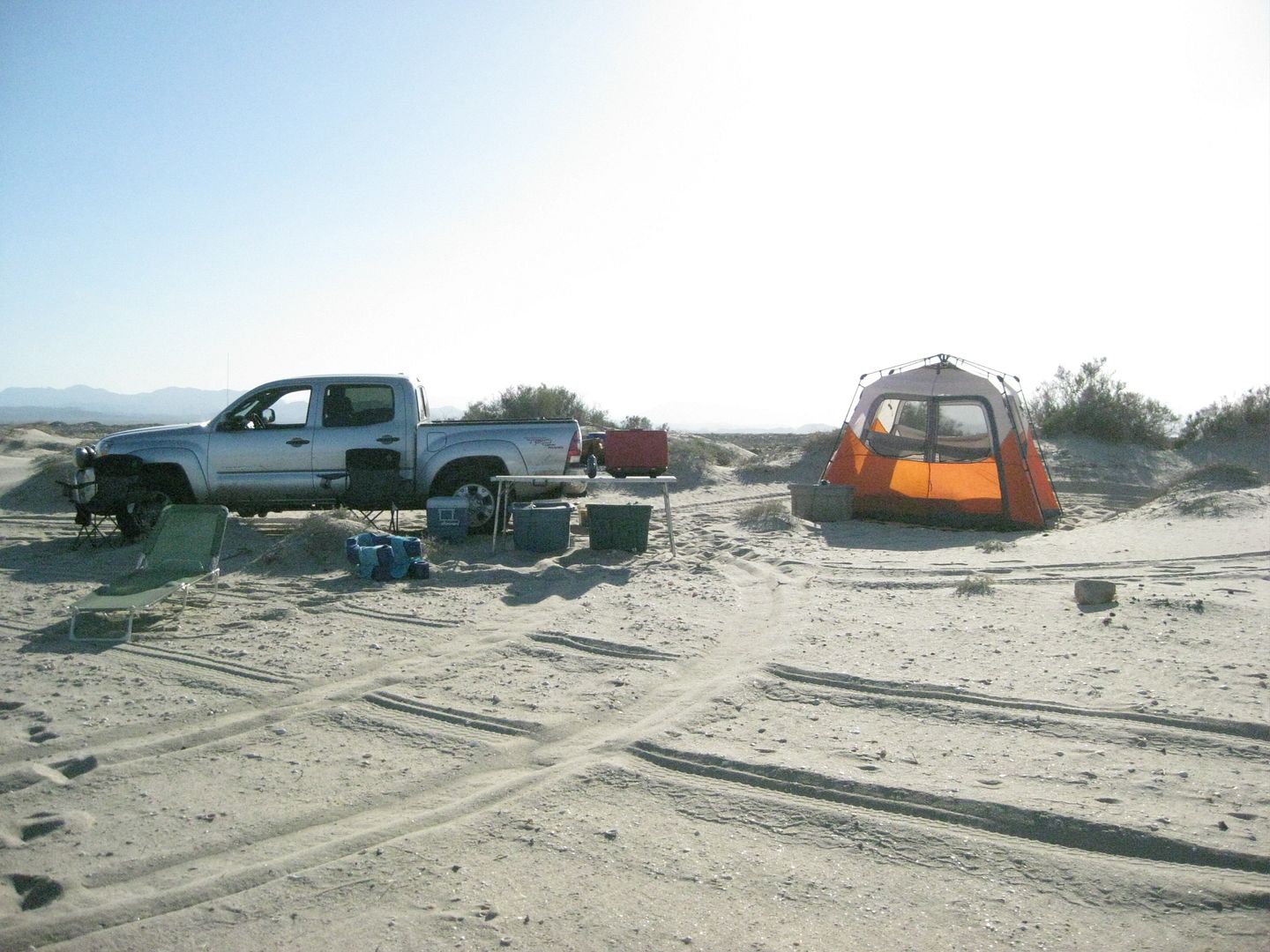
That is the best tent we have ever had... fast and easy one man operation and up in less than a minute (or close)! It is big, has close-able windows,
you can stand up in it and it is light and compact.
The tent was first discussed after our first time out with it last July. I think Bob H found some You Tube links showing how easy it is to put up and
take down.
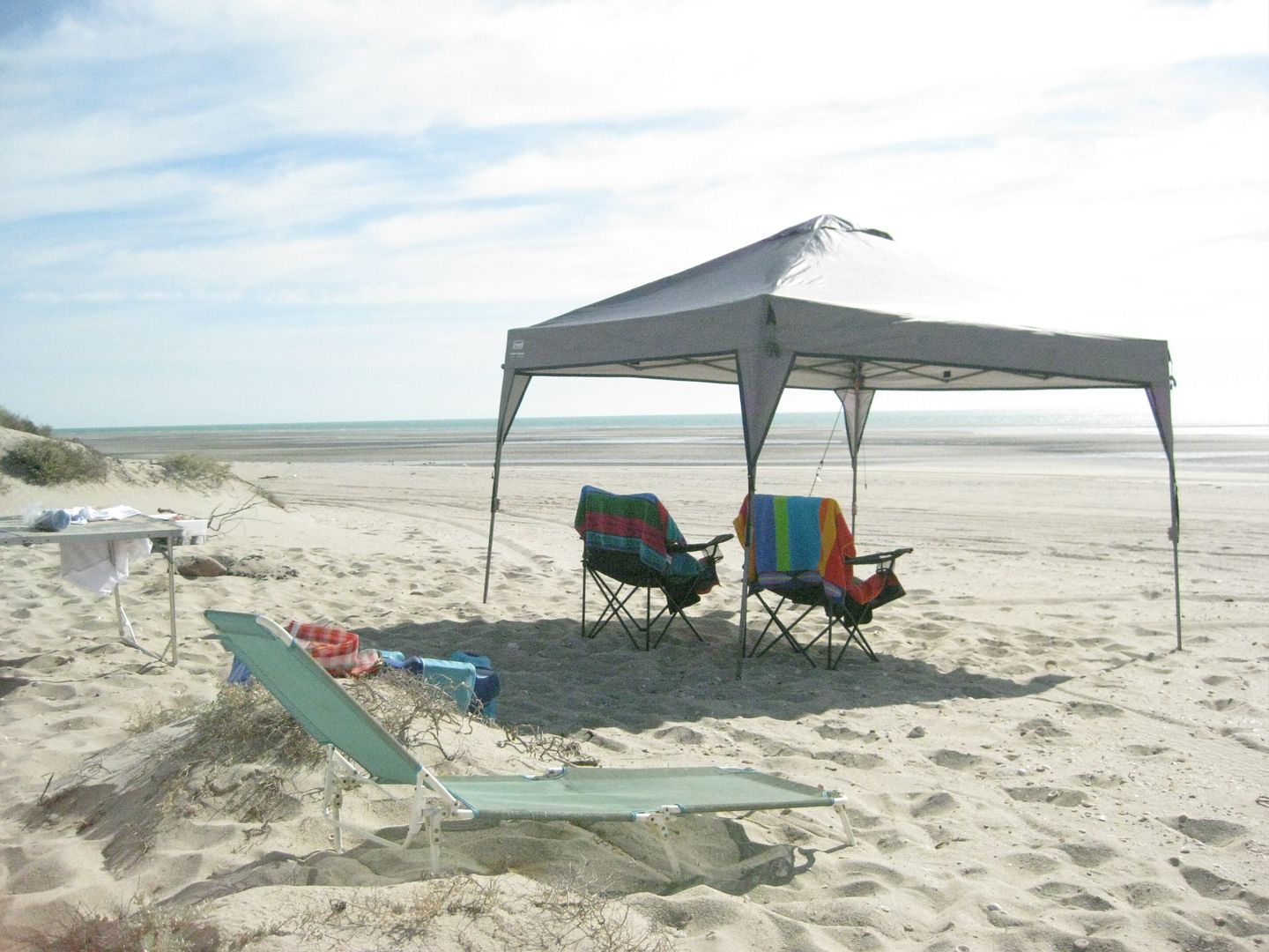
Our new sun canopy also is put up for the first time and it is big, and easy to do as well... by myself. Our previous tent and sun canopy were both
destroyed on Shell Island in the same hurricane force wind that sunk the Eric in July, 2011.
|
|
|
David K
Honored Nomad
        
Posts: 65402
Registered: 8-30-2002
Location: San Diego County
Member Is Offline
Mood: Have Baja Fever
|
|
| Quote: | Originally posted by BajaBlanca
The peace that is conveyed by your photos is just wonderful. Baja angel sure must be rested after that great escape! |
It was worth the drive and cost to give my bride a quiet weekend on the beach.
I came home to a couple new job calls, so going to Baja has financial rewards!
Thanks Blanca!
|
|
|
Vince
Nomad
 
Posts: 448
Registered: 10-17-2006
Location: Coronado
Member Is Offline
|
|
Loved your photos, thanks, David.
|
|
|
David K
Honored Nomad
        
Posts: 65402
Registered: 8-30-2002
Location: San Diego County
Member Is Offline
Mood: Have Baja Fever
|
|
Part 3: Sunday is glorious
Before Baja Angel is out of the tent, I have most of the sun canopy set up... she does help however, and it really is easier with two.
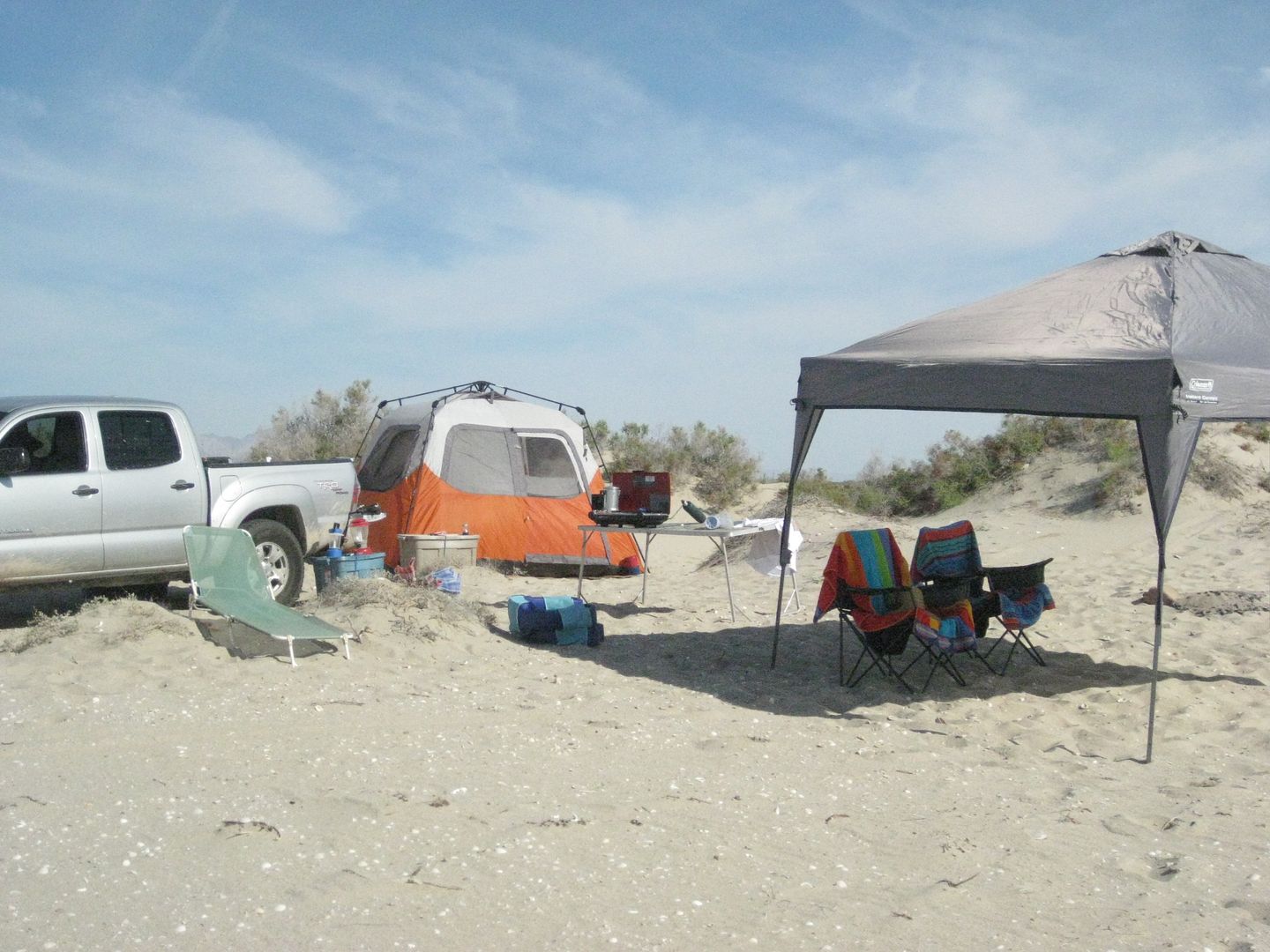
At low tide, we take a drive to survey the island and see what changes can be noticed. Looking for some extra pretty shells is fun too...
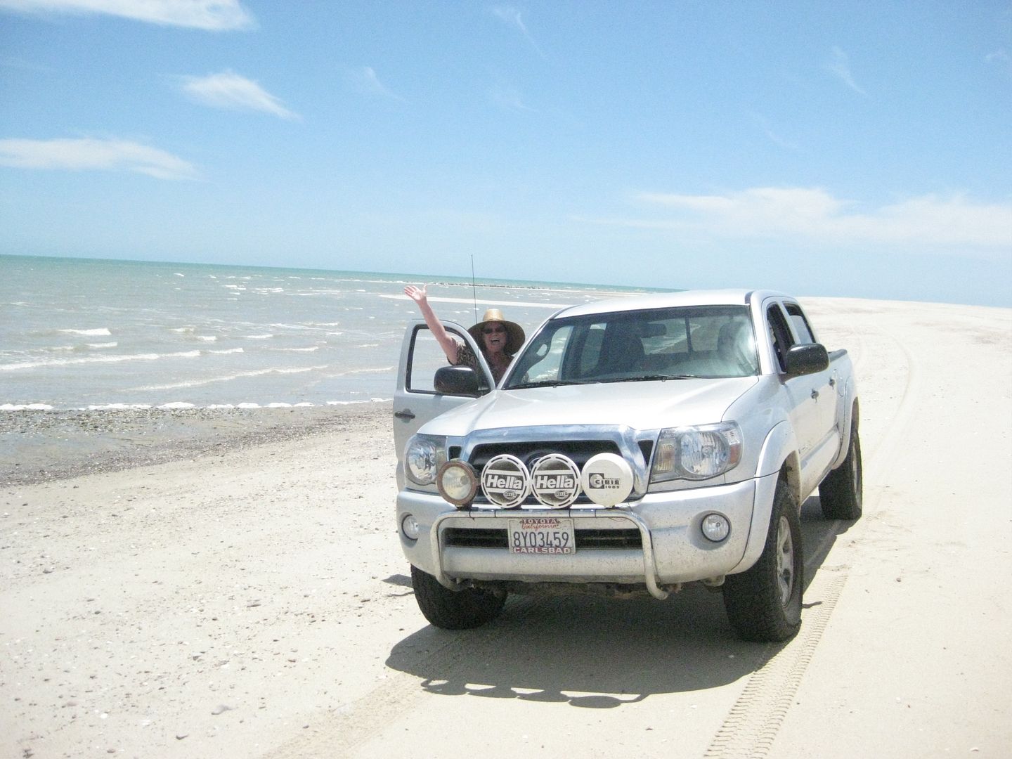
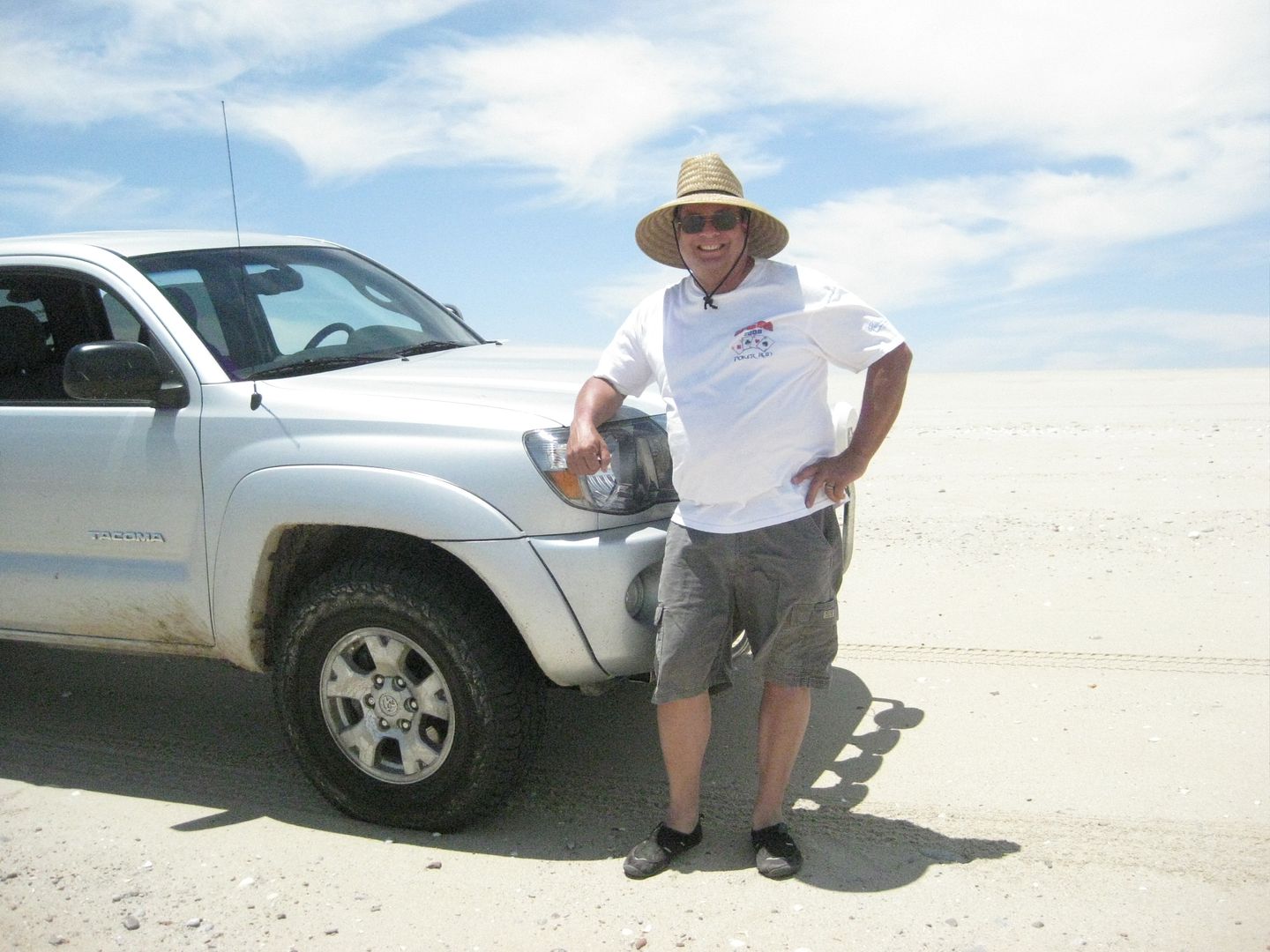
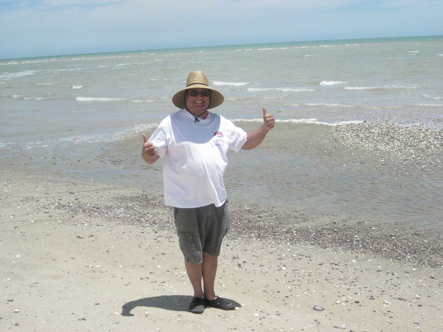
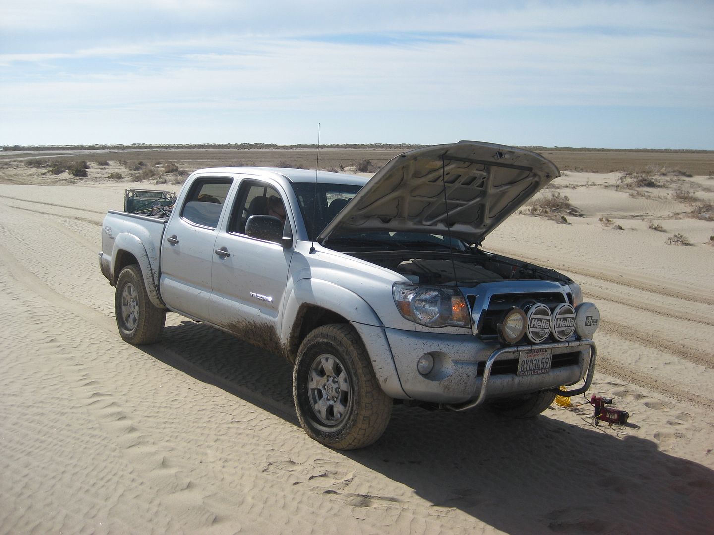
I know how many of you love seeing my Tacoma, so in order to please everyone... (lol):

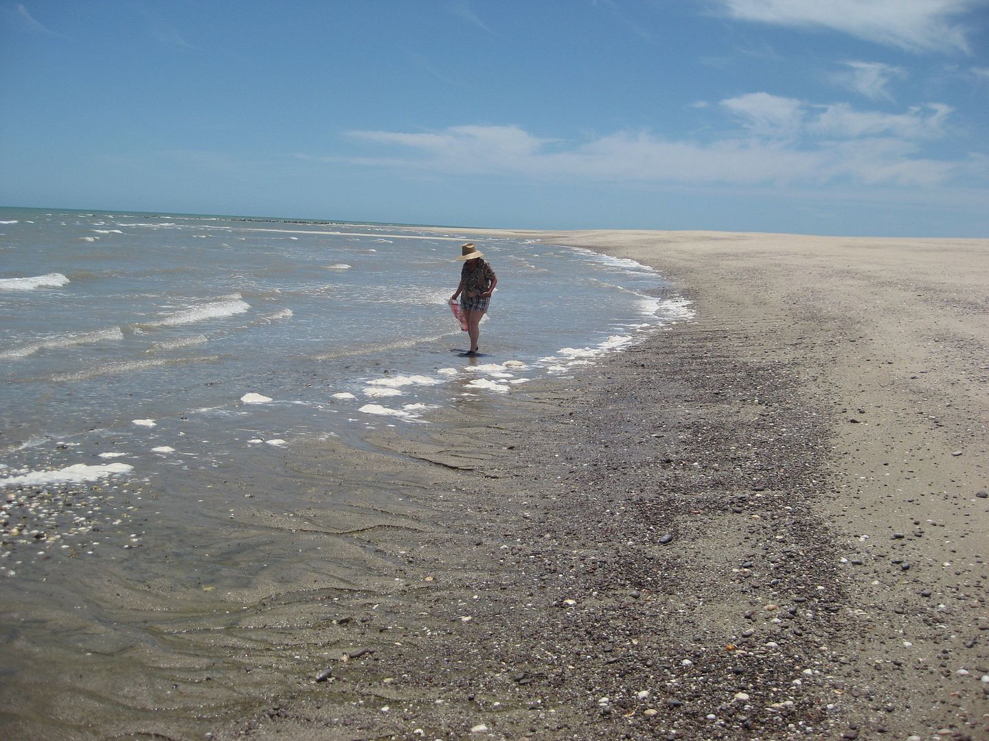
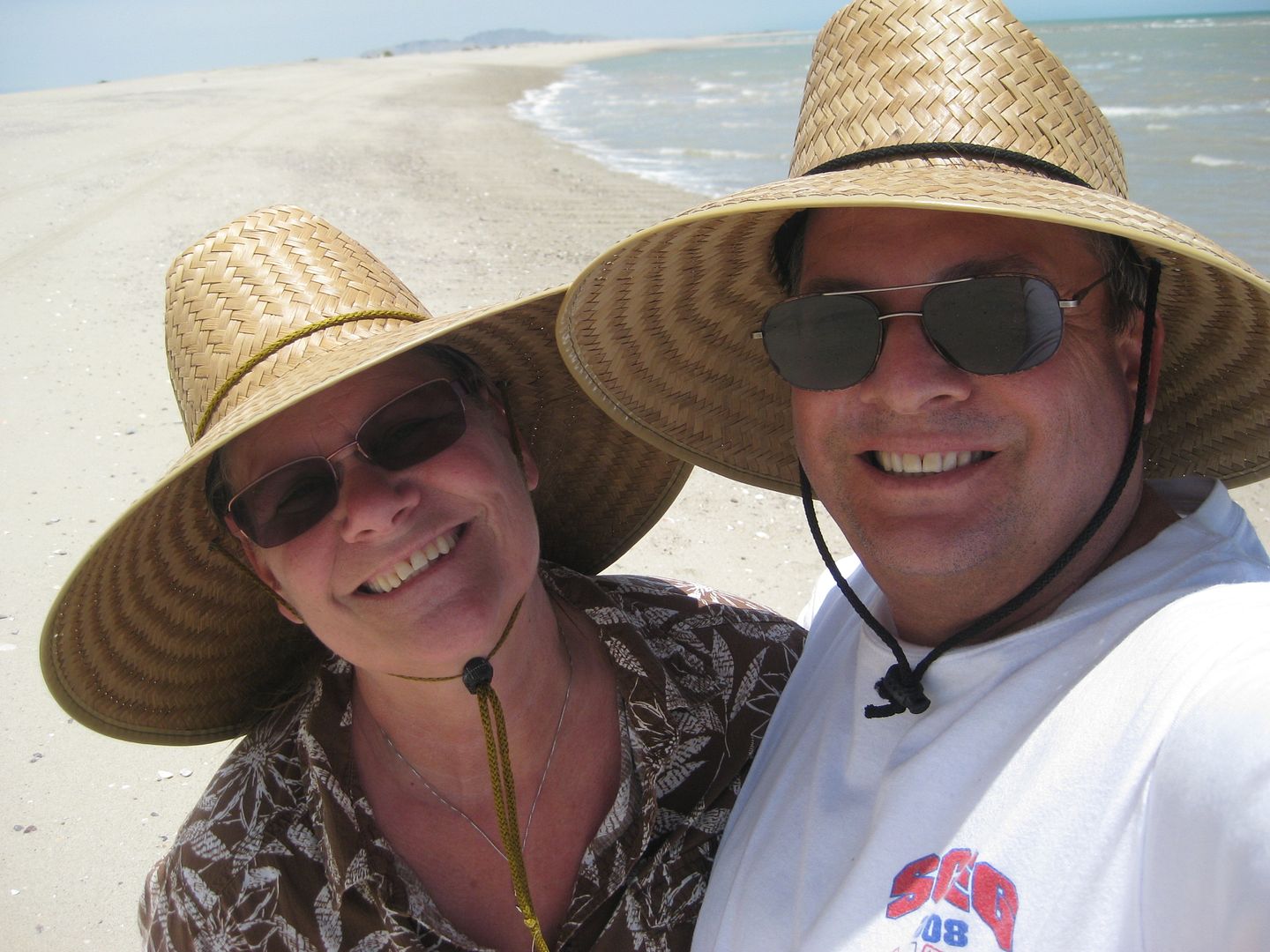
Happy Nomads in Baja:
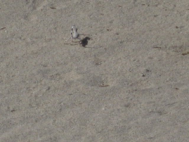
Lot's of these Desert Iguanas (?) on Shell Island.
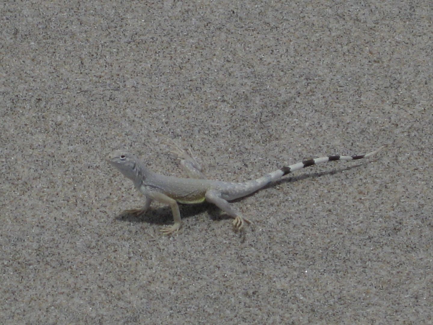
They curl their tail to mimic a scorpion... I took some photos of one in 2011...
As I mentioned earlier, along the 4.5 mile long island, we saw 5 dead porpoises, all about the same size except for one that was smaller.


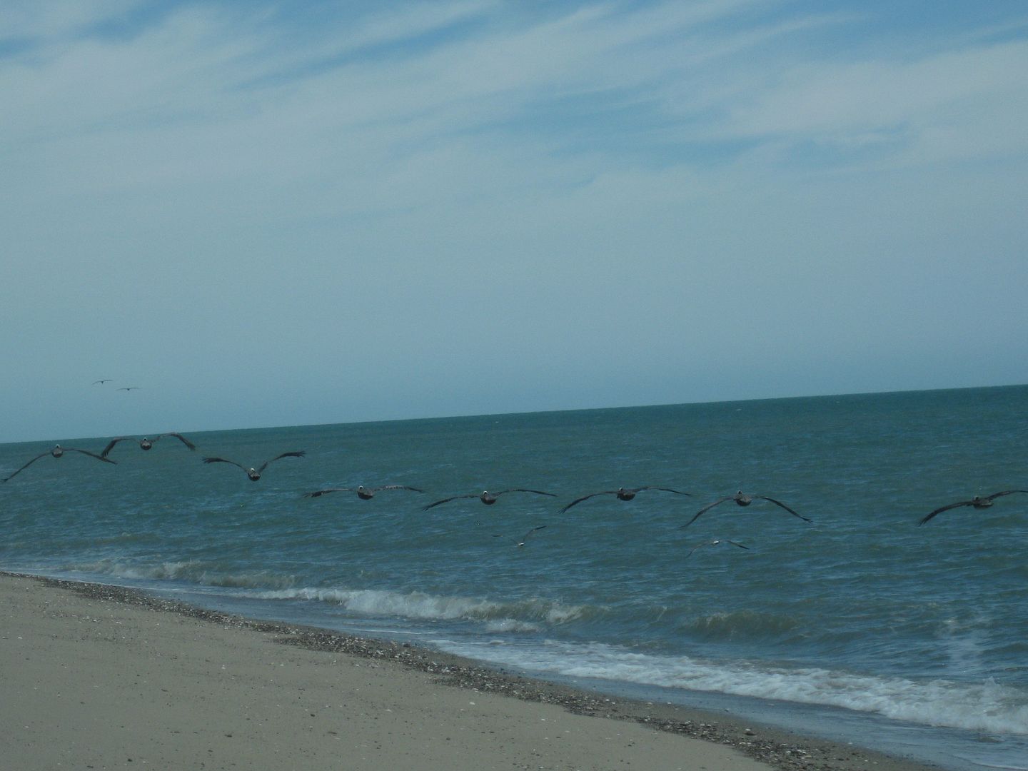
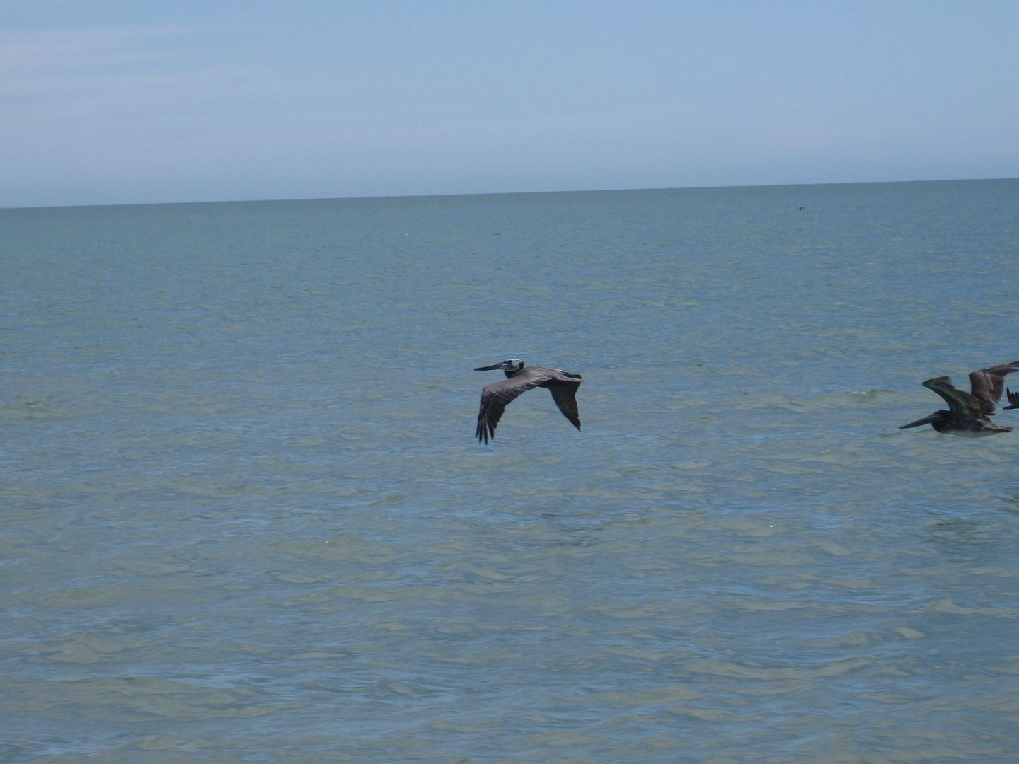
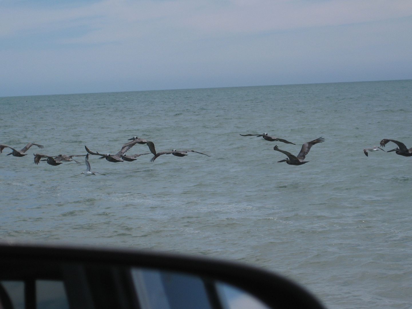
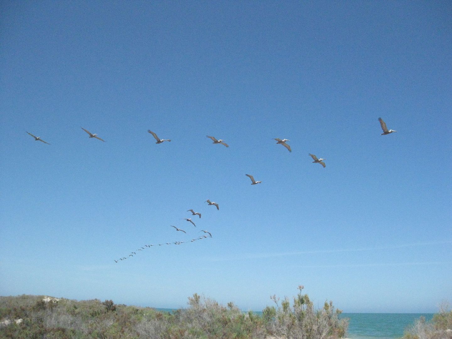
Pelicans fly between 20-25 mph... I clocked them!

Rancho Percebu (Laguna Percebu) was the busiest I have seen in years!

Back to camp...

This tern kept a close watch on us.
Tide was nearly as high Sunday as it was on Saturday... 19.5 ft.
Diablo Mountain is in the distance.
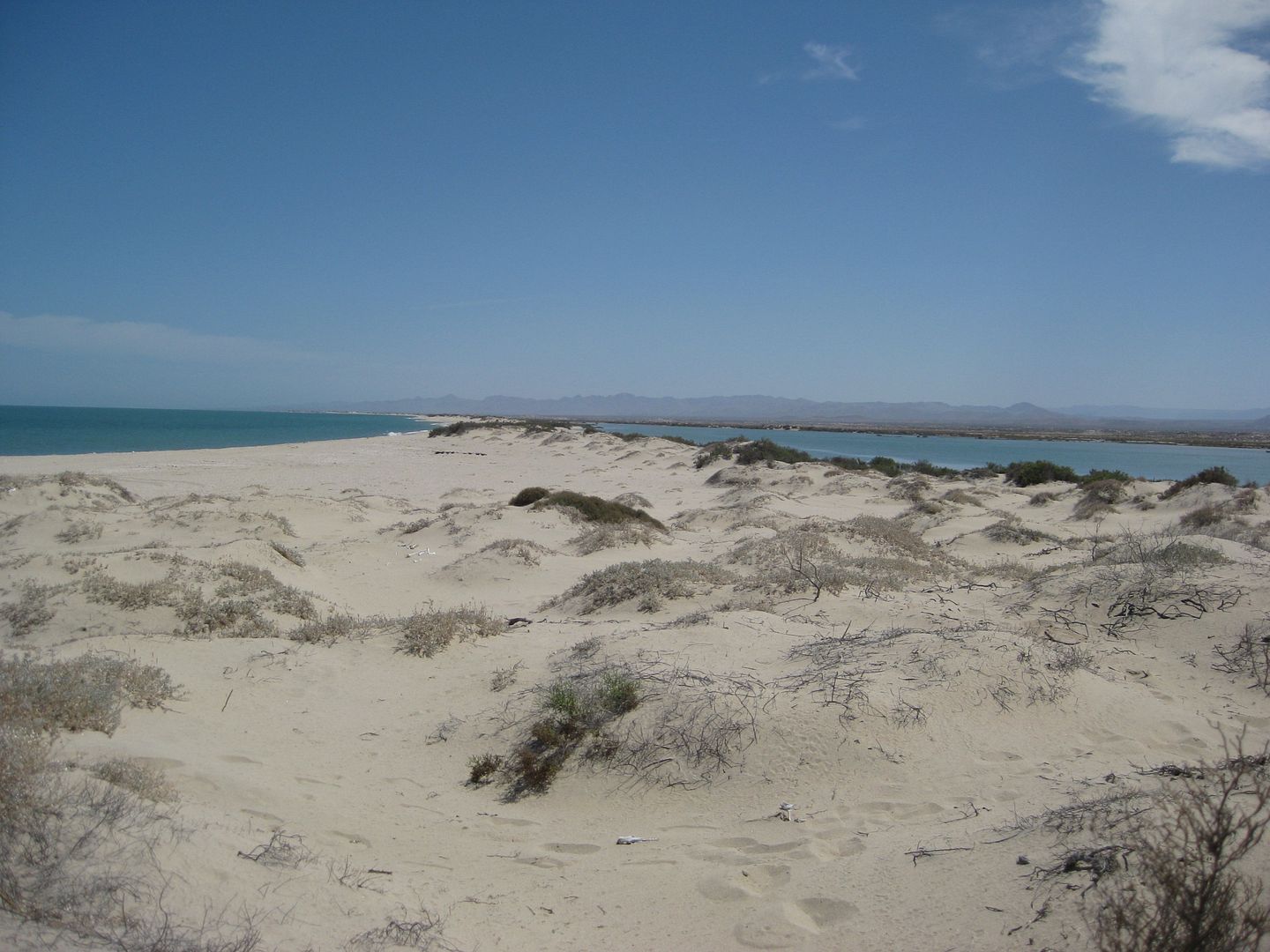
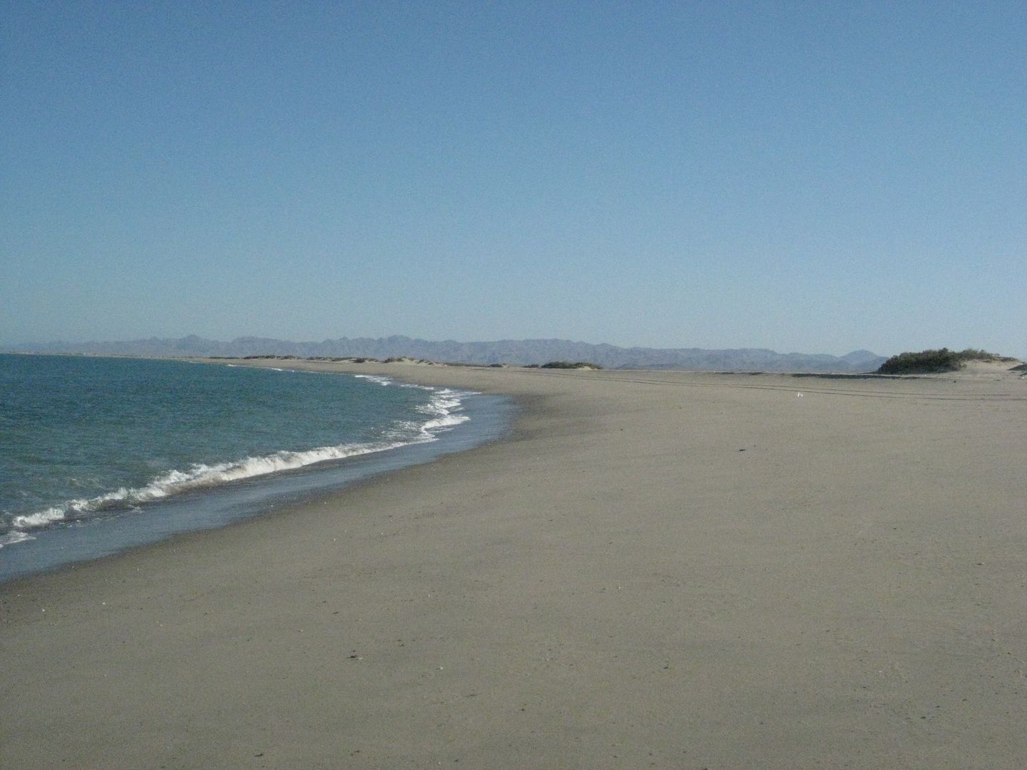
Shell Island... the barrier island beach that separates the Gulf of California from Estero Percebu (Laguna Percebu).
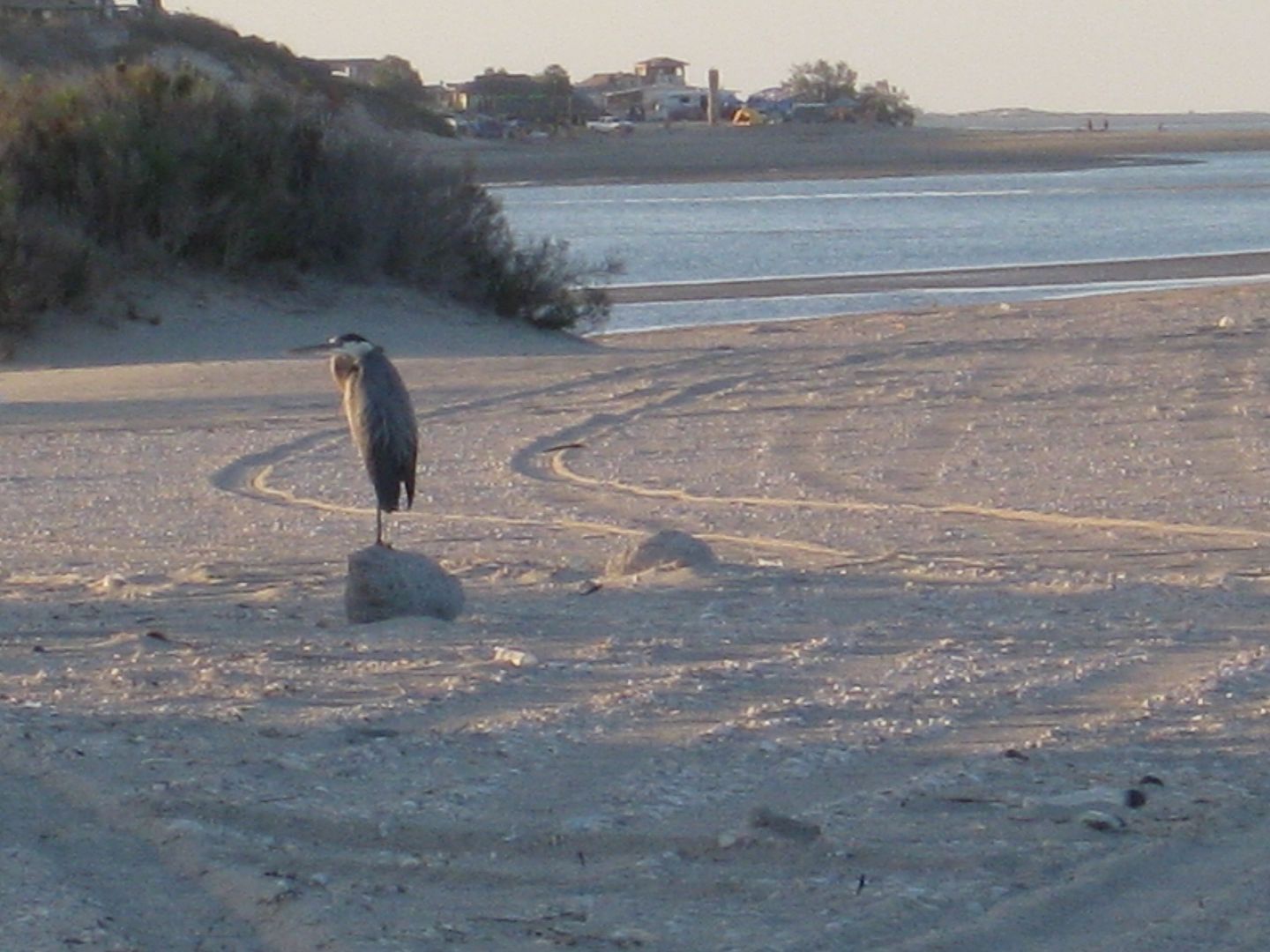
Percebu in distance.
End of Saturday's report...
|
|
|
Udo
Elite Nomad
     
Posts: 6364
Registered: 4-26-2008
Location: Black Hills, SD/Ensenada/San Felipe
Member Is Offline
Mood: TEQUILA!
|
|
Mil Gracias for the terrific photos, DK!
Really graphically displays the shell island.
The high tide is graphically well displayed, amigo!
Udo
Youth is wasted on the young!
|
|
|
Mexitron
Ultra Nomad
    
Posts: 3397
Registered: 9-21-2003
Location: Fort Worth, Texas
Member Is Offline
Mood: Happy!
|
|
Looks like a fun time!
|
|
|
David K
Honored Nomad
        
Posts: 65402
Registered: 8-30-2002
Location: San Diego County
Member Is Offline
Mood: Have Baja Fever
|
|
Part 4 of 4: Memorial Day Monday... going home!
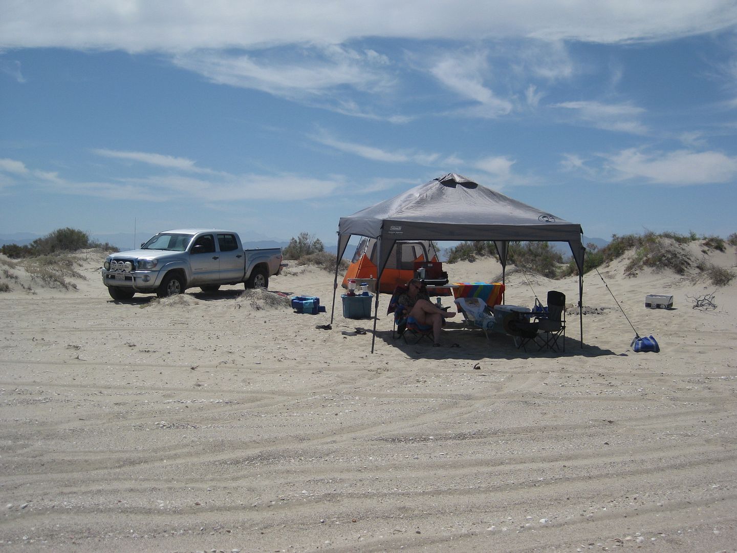
We tear down camp and have the truck packed up before 8:30 (a record)... thanks to the easy up and down tent and Baja Angel's assistance!
There is more sea water and mud to cross than there was Saturday... but the Tacoma has no issues at all (using low range 4WD and A-TRAC)...
Once out of the mud, I park on a low, blow-sand dune at the edge of the salt/mud flats to air back up the tires... from 18 psi to 34 psi takes 5
minutes per tire...

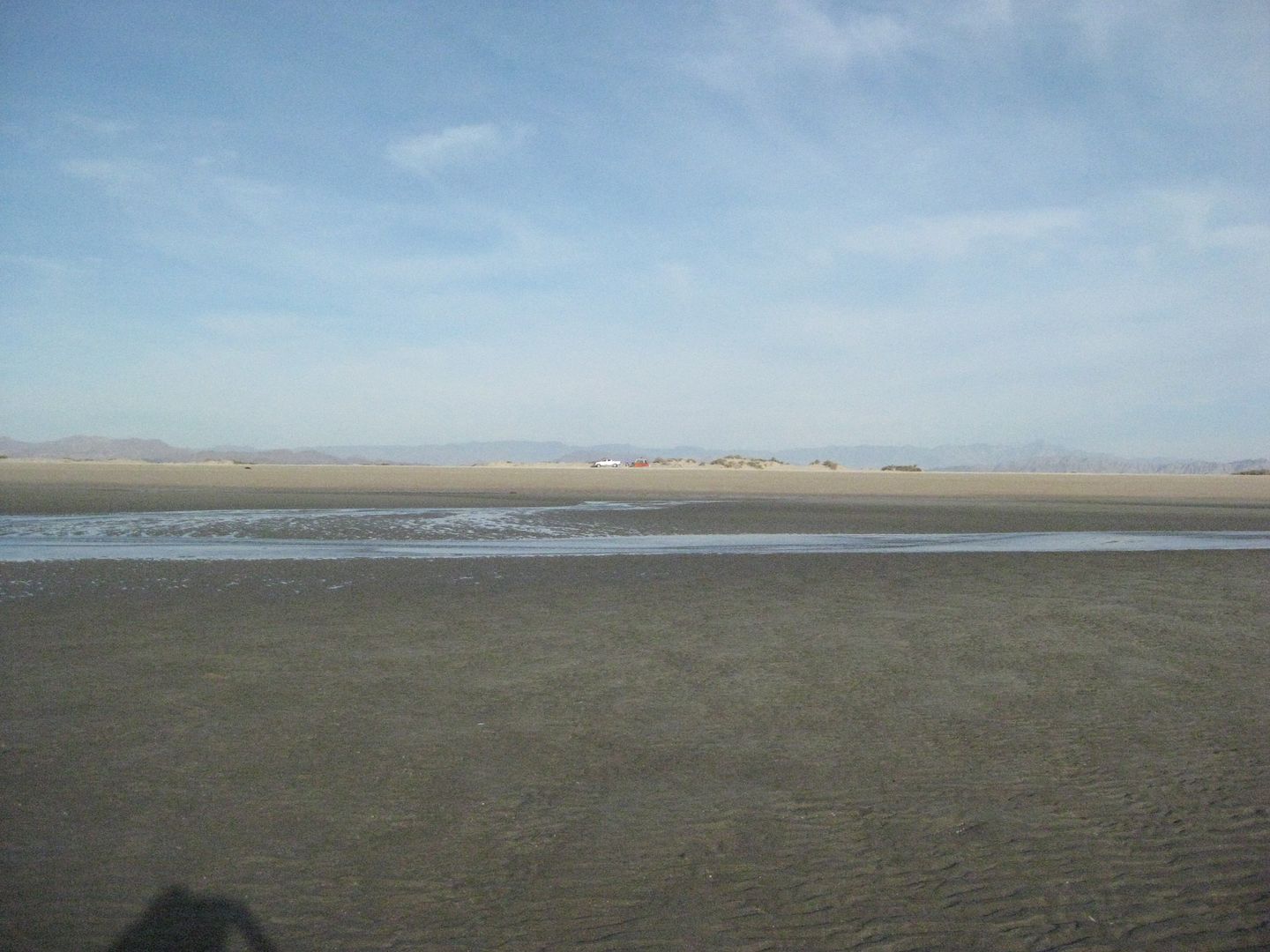
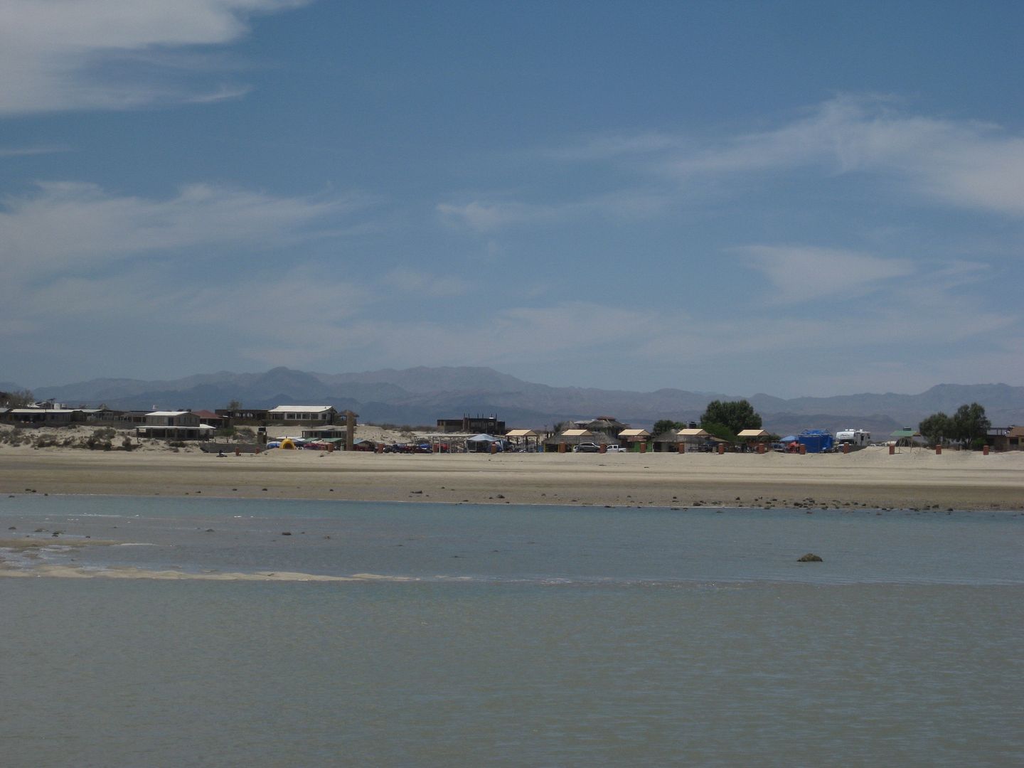
View towards Shell Island, across the sea mud field that goes underwater at highest tides, making the beach a literal island:
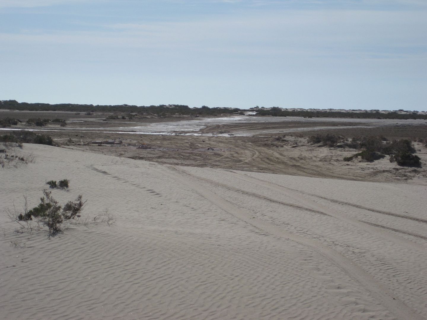
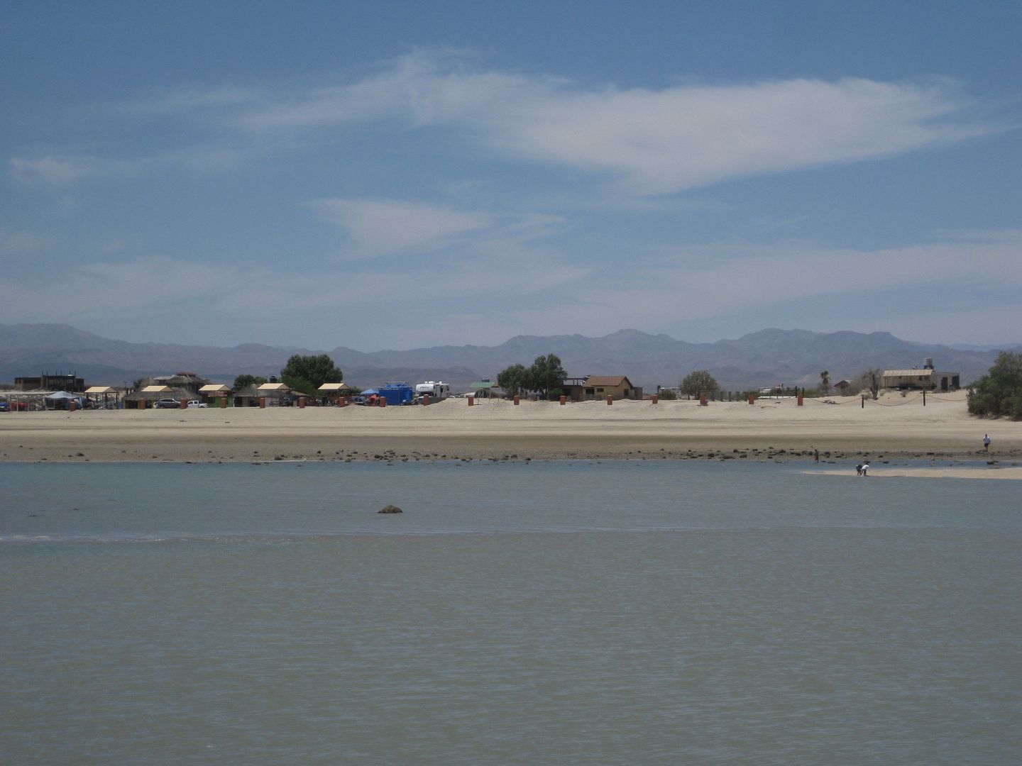
View south towards Bahia Santa Maria (3 miles away):
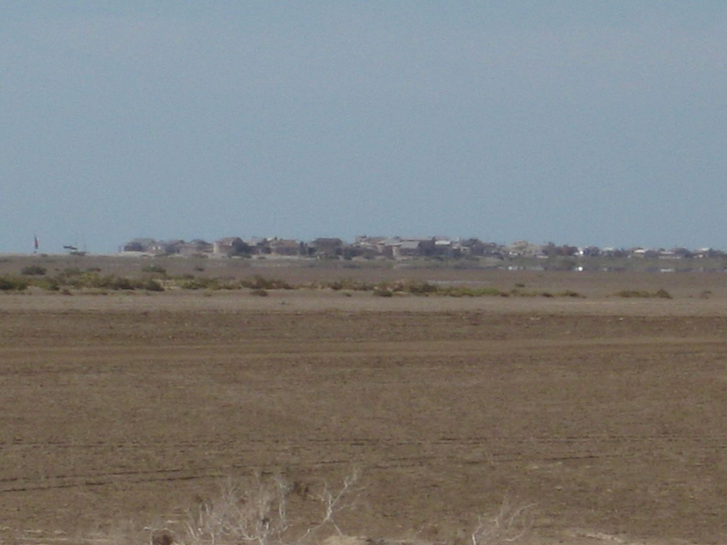
View north towards Rancho Percebu (also 3 miles away):
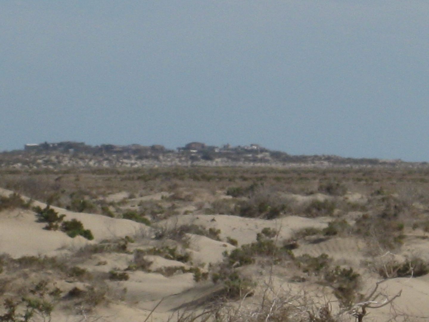
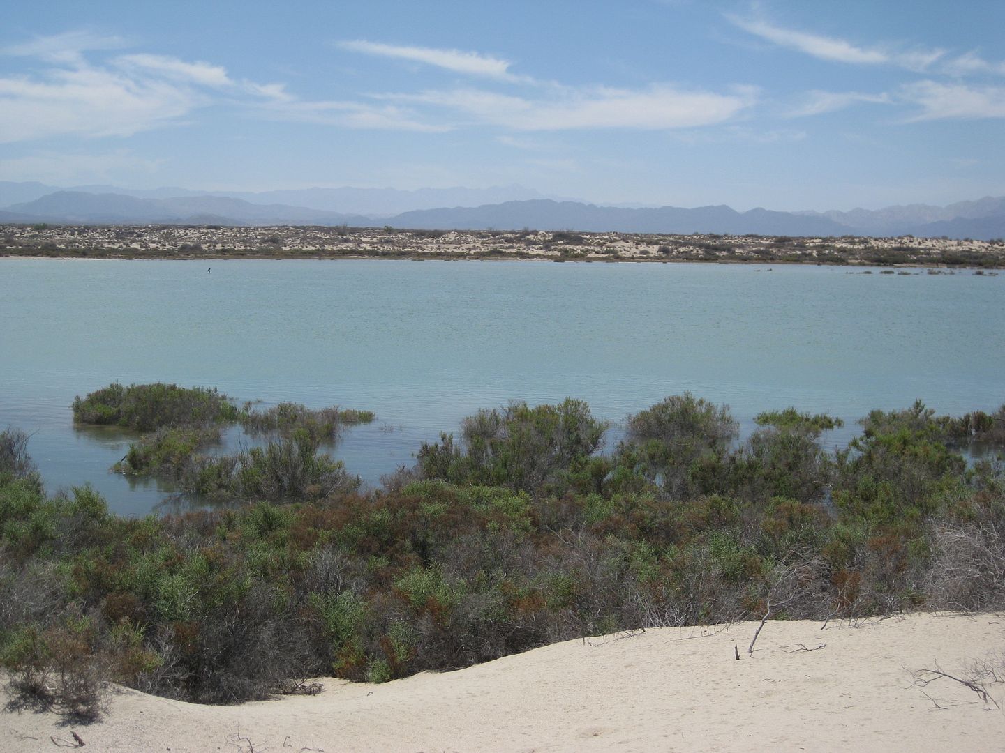
View west towards Hwy. 5 (2 miles away):

Back in San Felipe we go to our usual car wash shop, along the main road north, before reaching the traffic circle... Good news is he can get to work
on it right away. It is next door to a carnitas cafe, but we want healthy food and a fruit salad vendor is new and across the intersection! We each
have a large fruit salad ($70 pesos) and it is great, with mango, papaya, strawberry, pineapple, orange and kiwi chunks.
The truck is clean of all the mud (150 pesos + 20 peso tip) and we top the fuel tank in town ($11.05 pesos/liter or $3.64 dollars/gallon) and are
headed north from San Felipe at 10:30 Monday morning.
The big surprise is no inspection at the checkpoint, 31 miles north of town (at the Hwy. 3 junction to Ensenada). There are no detours or any
construction on Hwy. 5 back to Mexicali.
110 miles north of San Felipe, we take the toll highway west to go to Tecate... As there is no direct ramp from northbound 5 to westbound 2-D, you
must go under the toll road and make a U-Turn to head back south to get onto it. The U-Turn opening has been moved further north than it was
previous...
The toll gate for the first section of Hwy. 2-D (also known as the Libramiento de Mexicali) is very near Hwy. 5 and costs 63 pesos. It is only a 2
lane road, but is fast and avoids all of Mexicali city traffic.
The military checkpoint at the base of the grade up to La Rumorosa also waved us through. The toll gate at the top of the grade was $21 pesos.
The final toll gate is at El Hongo and was $60 pesos or $5 dollars.
In Tecate about 2 pm (190 some miles from San Felipe), we topped the gas tank. Magna was $11.36 pesos/liter and the dollar exchange was 11.80
pesos/dollar making regular fuel $3.64 dollars per gallon.
We arrived in the border line at 2:18 pm Monday... very near the top of the hill and we were pleasantly surprised we beat a lot of the Memorial Day
traffic (if there was any). We arrived at the gate in 1 hour and 7 minutes. The gaurd asked lots of questions about things we weren't supposed to have
and then asked where we were... he didn't know where San Felipe was and then asked if that was where "all the gringos are"... I was never asked such a
thing and then he asked if it was like Mulege or Loreto being mostly "gringos" there...!??
I told him while San Felipe may have a large retired American population neither it nor Loreto or Mulege were mostly "gringo" towns... Baja Angel and
I were really startled at the bigoted-like questions he kept throwing at me. I assured him, all the towns in Baja were "mostly Mexican" and Loreto and
Mulege have just small American populations with San Felipe perhaps more...
Then the guy with a dog came to the truck... and I was asked if I had any people, dogs, or drugs... the guy with the dog walked to the back of my
truck, passenger side and the dog went ballistic, jumping up on the side of my truck and we would soon realize... was trying to get to some dogs in
the back of a truck in the lane next to mine!
So, it was a poorly trained dog upset at other dogs that freaked me out wondering if some drugs were planted in my truck, at the car wash!! Guess
what? The guy sent me to Secondary, anyway! LOL
I guess after so many easy crossings, it was my number... and we waited about 20 minutes for someone in Secondary to take a quick look in my ice chest
and a couple of camping boxes before sending us on our way.
As with so many other Baja trips, the only bad part is coming home and the border crossing... the wait and weird questions, and dog scratching the
side of my truck. 
[Edited on 6-16-2013 by David K]
|
|
|
ncampion
Super Nomad
   
Posts: 1238
Registered: 4-15-2006
Location: Loreto
Member Is Offline
Mood: Retired and Loving it
|
|
Sounds like another great weekend to Baja. I remember how my wife and I used to look forward to our "Baja Fixes" before we were able to retire and
live there. We travel back to the US 3 - 4 times a year and always enjoy the trip except for the border corssing. Hang in there
|
|
|
Ken Bondy
Ultra Nomad
    
Posts: 3326
Registered: 12-13-2002
Member Is Offline
Mood: Mellow
|
|
Great, great stuff DK, thanks so much. ++Ken++
carpe diem!
|
|
|
| Pages:
1
2
3
4 |

