David K
Honored Nomad
        
Posts: 65361
Registered: 8-30-2002
Location: San Diego County
Member Is Offline
Mood: Have Baja Fever
|
|
San Quintin to San Felipe via Mike's Sky Rancho, in 2005
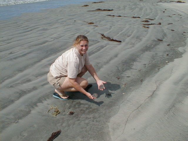
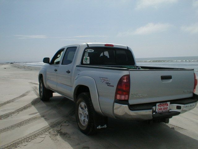
The shortest route from the Pacific Coast to the Gulf of California Coast was our mission to show Baja Angel the difference in sand dollars between
the two bodies of water.
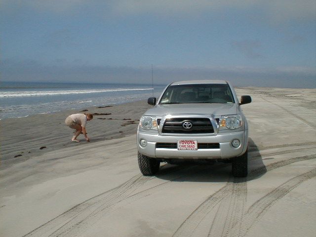
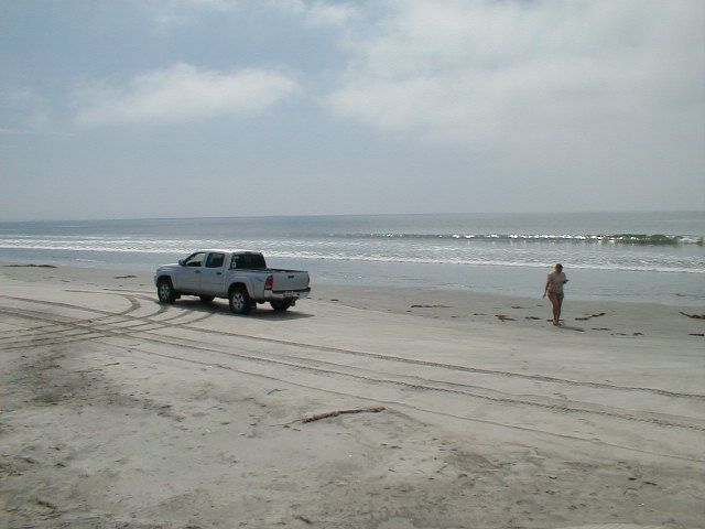
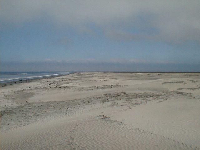
This beach is west of Cielito Lindo and south of San Quintin Bay, on the outer bay, called Santa María.
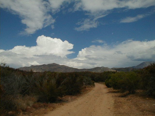
We drive north past Camalu to the new paved road east to San Telmo, Meling Ranch and eventually to the National Observatory at 9,280 feet.
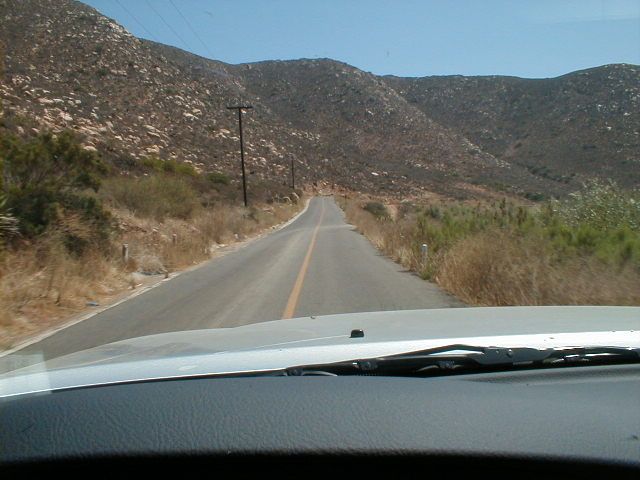
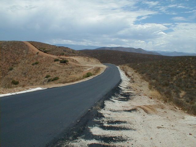
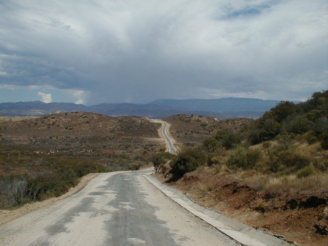
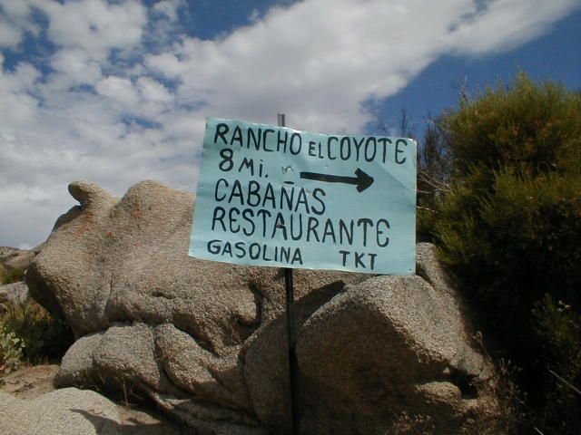
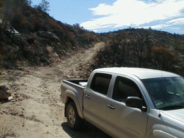
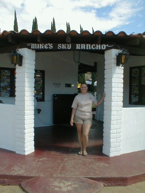
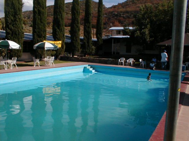
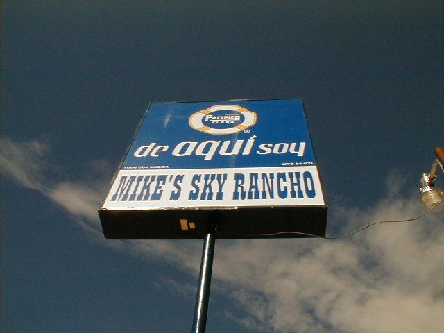
The pavement was very fresh in September, 2005 and ended near the Meling Ranch. We turned off for Rancho Coyote and Mike's Sky Rancho.
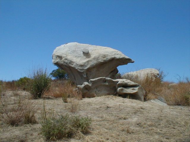
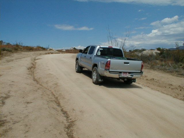
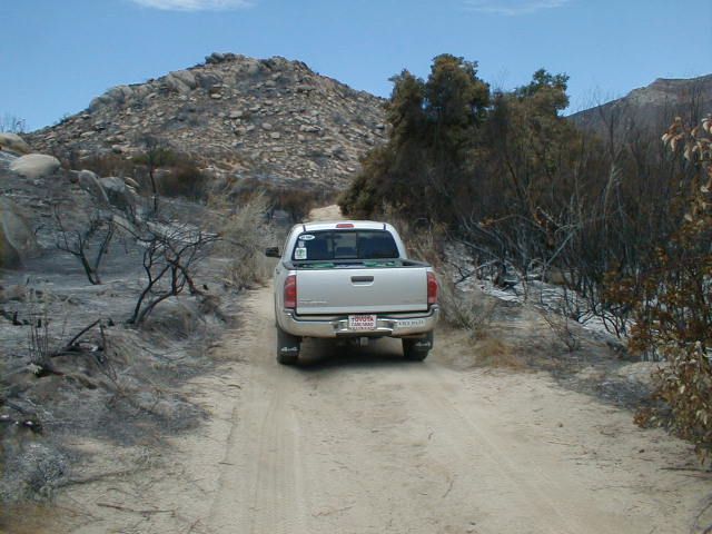
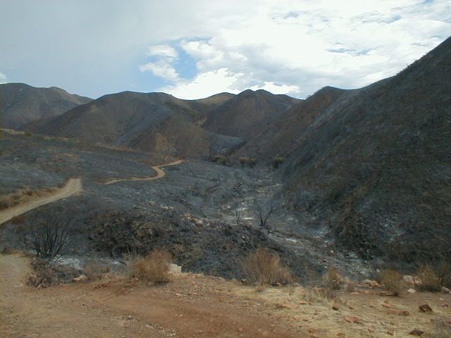
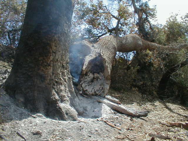
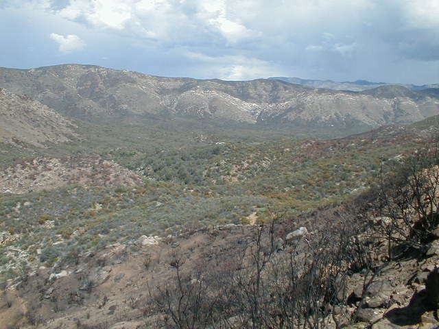
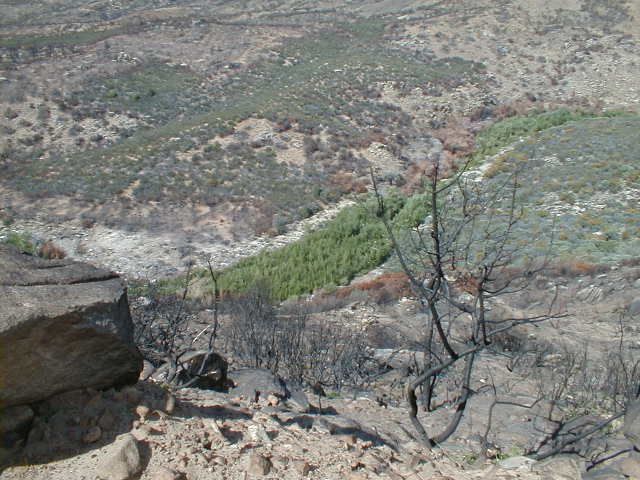
Fresh burn wild fire, still smoking...
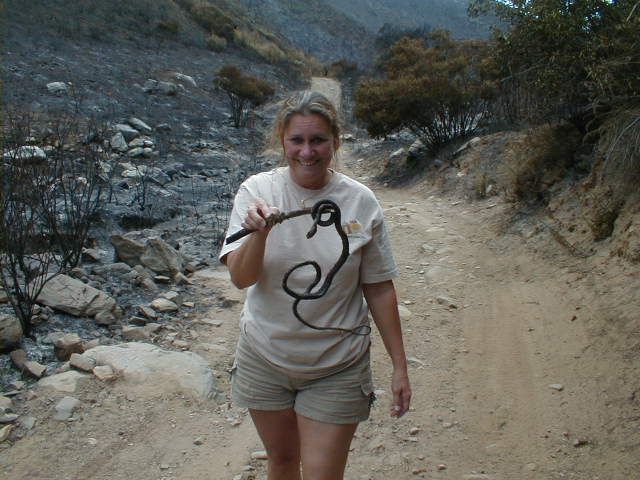
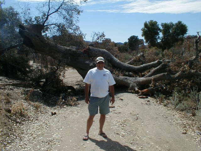
Baja Angel spots something...
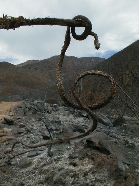
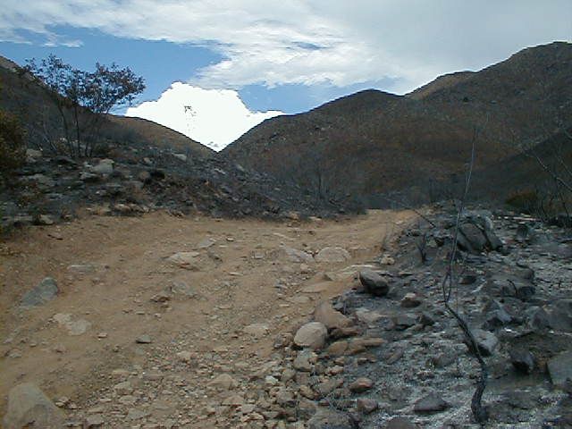
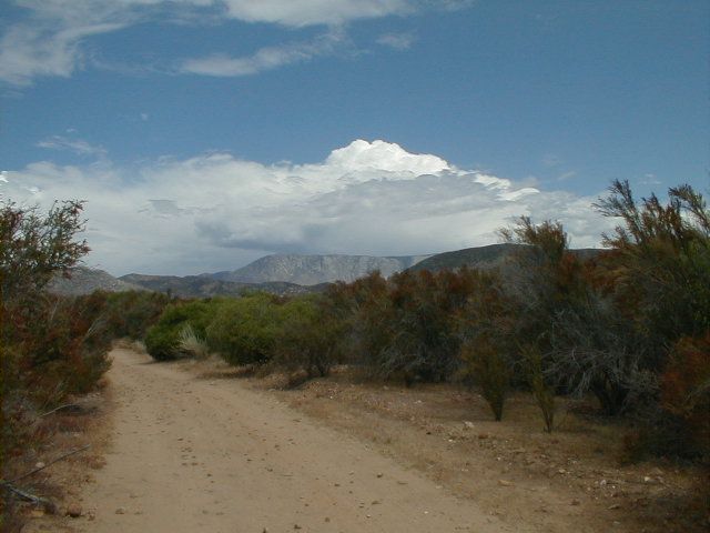
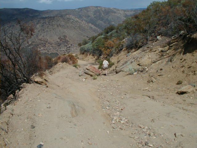
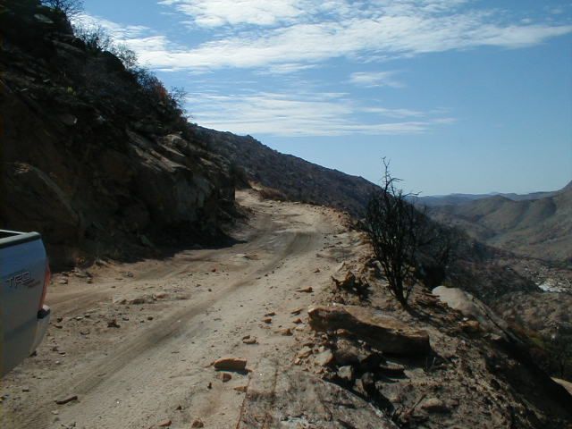
Time to drop down, down, down to the San Rafael River...
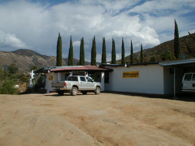
Stay tuned for Part 2: Mike's Sky Ranch to the Sea of Cortez and Shell Island!

|
|
|
durrelllrobert
Elite Nomad
     
Posts: 7393
Registered: 11-22-2007
Location: Punta Banda BC
Member Is Offline
Mood: thriving in Baja
|
|
| Quote: | Originally posted by David K
The shortest route from the Pacific Coast to the Gulf of California Coast was our mission to show Baja Angel the difference in sand dollars between
the two bodies of water.
Baja Angel spots something...

| Quote: |
So how does barra b q serpiente taste? |
|
Bob Durrell
|
|
|
bajalearner
Senior Nomad
  
Posts: 670
Registered: 8-24-2010
Location: Tijuana
Member Is Offline
Mood: in search of more
|
|
| Quote: | Originally posted by durrelllrobert
| Quote: | Originally posted by David K
The shortest route from the Pacific Coast to the Gulf of California Coast was our mission to show Baja Angel the difference in sand dollars between
the two bodies of water.
Baja Angel spots something...

| Quote: |
So how does barra b q serpiente taste? |
Pensé que era un abogado barra b q |
|
|
|
|
bajalearner
Senior Nomad
  
Posts: 670
Registered: 8-24-2010
Location: Tijuana
Member Is Offline
Mood: in search of more
|
|
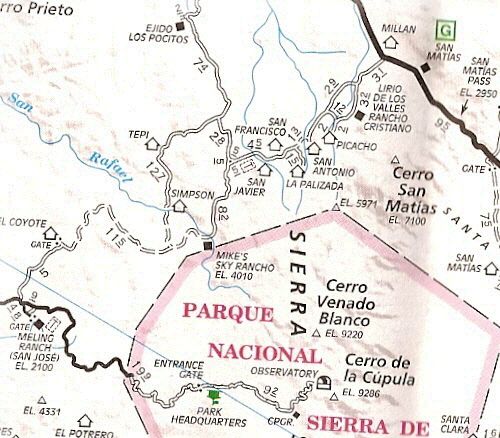
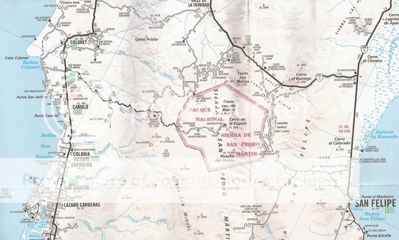
I enjoyed the photos and the maps were nice to see where the route was.
|
|
|
David K
Honored Nomad
        
Posts: 65361
Registered: 8-30-2002
Location: San Diego County
Member Is Offline
Mood: Have Baja Fever
|
|
Thank you, I will finish with the rest of the photos later today...
|
|
|
ncampion
Super Nomad
   
Posts: 1238
Registered: 4-15-2006
Location: Loreto
Member Is Offline
Mood: Retired and Loving it
|
|
Thanks for the pics. I did that route years ago by motorcycle, seeing the pictures makes me think I'm overdue for another trip.
|
|
|
durrelllrobert
Elite Nomad
     
Posts: 7393
Registered: 11-22-2007
Location: Punta Banda BC
Member Is Offline
Mood: thriving in Baja
|
|
| Quote: | Originally posted by bajalearner
| Quote: | Originally posted by durrelllrobert
| Quote: | Originally posted by David K
The shortest route from the Pacific Coast to the Gulf of California Coast was our mission to show Baja Angel the difference in sand dollars between
the two bodies of water.
Baja Angel spots something...

| Quote: |
So how does barra b q serpiente taste? |
Pensé que era un abogado barra b q |
OK, then how does a BBQ lawyer taste?
[Edited on 1-10-2014 by durrelllrobert] |
|
Bob Durrell
|
|
|
David K
Honored Nomad
        
Posts: 65361
Registered: 8-30-2002
Location: San Diego County
Member Is Offline
Mood: Have Baja Fever
|
|
Thank you...
I posted these 2005 photos in the Photo Gallery forum instead of the trip reports forum because I thought some photos of a rarely mentioned region may
be of interest to new Nomads who did not see the original report or my web page on this trip.
I got to thinking that someone is going to ask where this is or want road details, so I added the maps.
Here is the road log I made, but things change in Baja, specially after 8+ years (although I think the new paving of the observatory road that year
was about all that has been changed in the area? Included are the drive time (in a Tacoma), the mileage, the elevation, and the GPS waypoint:
ACROSS BAJA (Hwy. 1 to Hwy. 3) via Mike's Sky Rancho (GPS datum is NAD27)
Highway 1 (at Paved 'Observatorio, San Pedro Martir' road): 0.0 miles, 0:00 hours, 123' elev., 30°58.01', 116°09.24'
San Telmo: 5.7 mi., 0:09 hrs., 310', 30°58.13', 116°05.45'
Hacienda Sinaloa: 11.4 mi., 0:18 hrs., 483', 30°56.93', 116°00.67'
Road south (El Carricito, Valladares), stay on pavement: 16.9 mi., 0:27 hrs., 529', 30°56.55' 115°56.28'
Road north (Buenavista), stay on pavement: 17.5 mi., 0:29 hrs., 564', 30°56.96', 115°55.90'
Take road north to El Coyote and Mike's: 30.1 mi., 0:55 hrs., 2,611', 30°58.60', 115°45.91'
El Coyote driveway west (go east for Mike's): 34.8 mi., 1:08 hrs., 2,958', 31°02.23', 115°45.50'
Los Encinos road east (go north for Mike's): 39.3 mi., 1:41 hrs., 3,405', 31°03.43', 115°42.17'
Alternate (northwest) road in from El Coyote: 41.5 mi., 1:57 hrs., 3,852', 31°04.33', 115°41.12'
Rancho Simpson and Tepi road to north: 43.4 mi., 2:09 hrs., 4,570', 31°05.18', 115°39.72'
Mike's Sky Rancho: 46.6 mi., 2:41 hrs., 3,992' elev., 31°06.57', 115°38.10'
Part 2, Mike's Sky Rancho north to Hwy. 3
Mike's Sky Rancho: 0.0 miles, 0:00 hours (see above for other data)
Rancho El Conejo road: 5.1 mi., 0:21 hrs., 4,108', 31°09.94', 115°39.17'
La Cieneguita road northwest: 5.7 mi., 0:24 hrs., 4,115', 31°10.46', 115°39.30'
Rancho San Javier road: 8.3 mi., 0:30 hrs., 4,287', 31°11.70', 115°37.52'
Rancho San Antonio: 9.8 mi., 0:37 hrs., 3,956', 31°12.40', 115°36.72'
Road to west (Alberchigos): 13.3 mi., 0:48 hrs., 3,583', 31°15.16'. 115°36.00'
Rancho Picacho road south: 16.8 mi., 0:57 hrs., 3,438', 31°17.77', 115°35.06'
Highway 3 (just west of San Matias): 19.8 mi., 1:03 hrs., 3,143', 31°20.24', 115°34.39'
|
|
|
David K
Honored Nomad
        
Posts: 65361
Registered: 8-30-2002
Location: San Diego County
Member Is Offline
Mood: Have Baja Fever
|
|
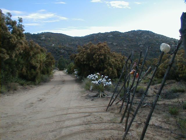
At Hwy. 3, San Matias/Valle de Trinidad area:
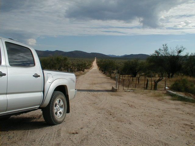
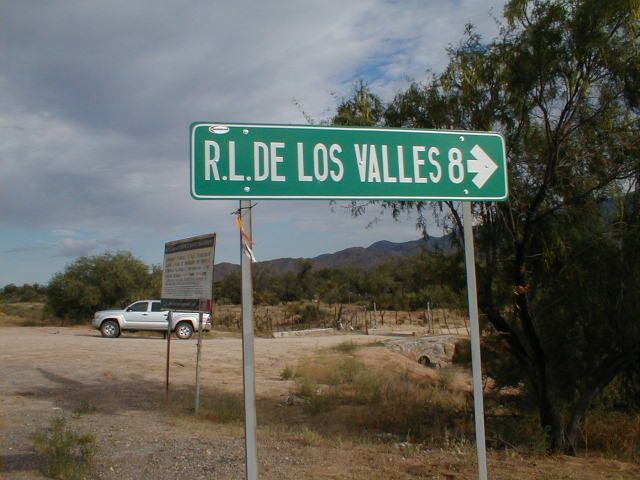
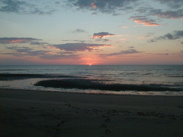
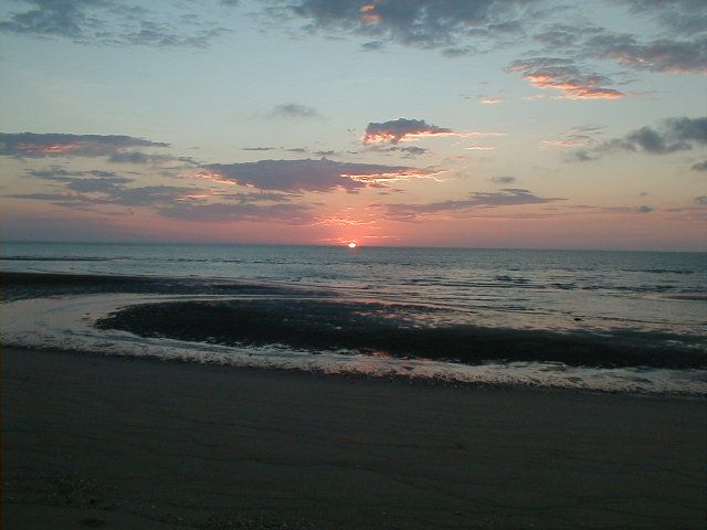
We continued east on Hwy. 3 to Hwy. 5, then south the 31 miles to San Felipe and 20 more miles south to Shell Island... Here was what we awoke to the
next morning:
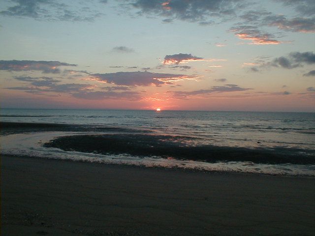
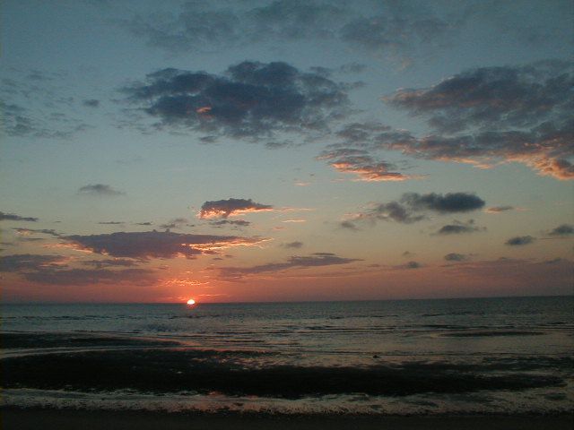
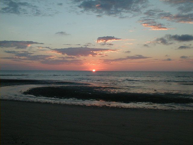
A little later that day...
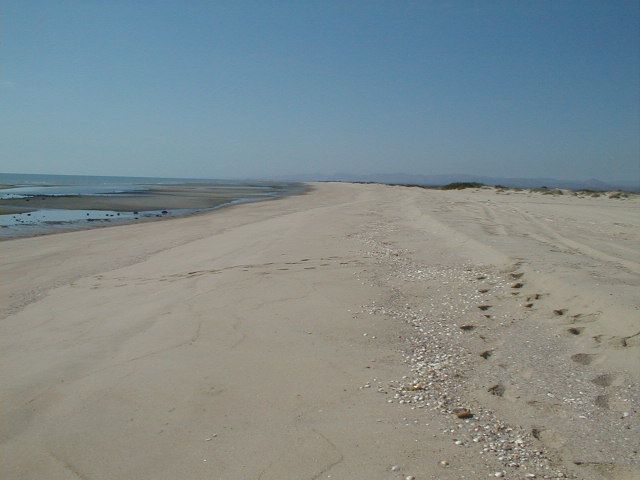
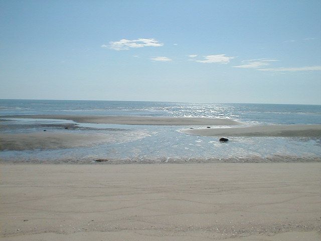
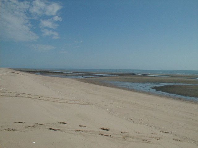
Low Tide. The water will come up to where I am standing in just a few hours, then go back out again by sundown. Just amazing!
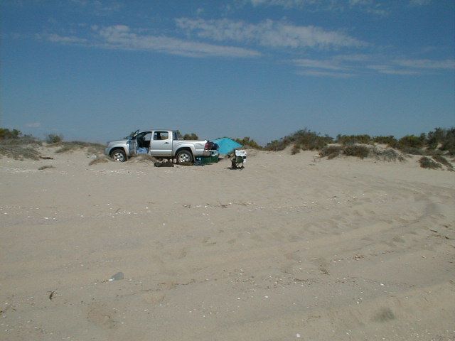
Easy camp, just for a night or two.
4WD was only used on the last few miles dropping into Mike's from El Coyote and driving to our camp on the island.
|
|
|
|

