David K
Honored Nomad
        
Posts: 65361
Registered: 8-30-2002
Location: San Diego County
Member Is Online
Mood: Have Baja Fever
|
|
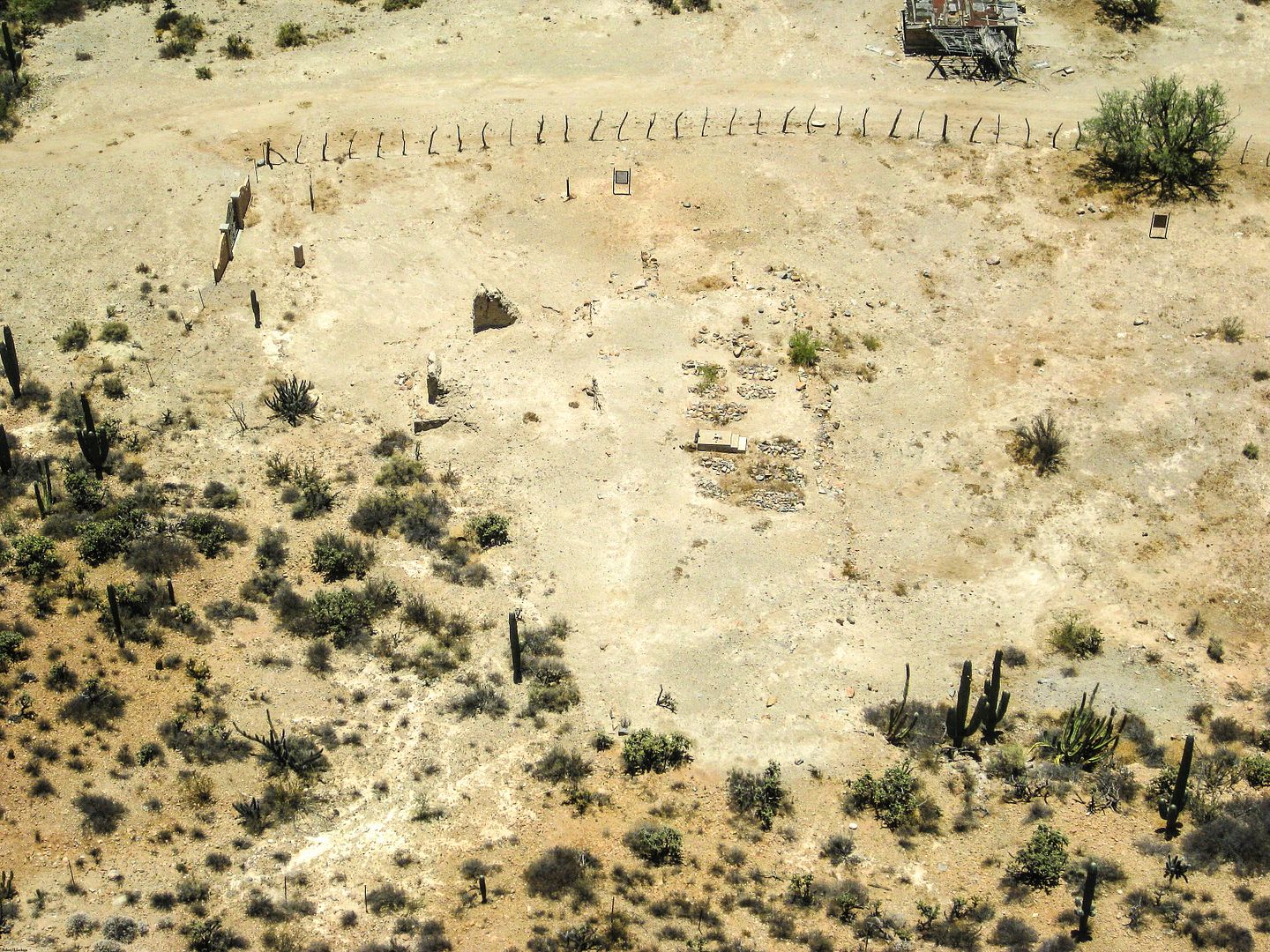
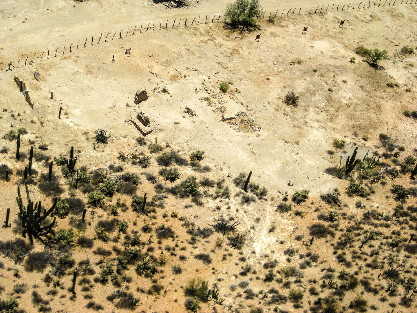
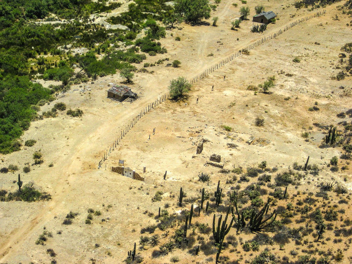
Enhanced Mission photos taken June, 2014
Thanks to historian/ author Dr. Robert Jackson ('academicanachist' on Nomad) the photos I took of missions last month from helicopter and ground got
nicely enhanced with his photo editing program.
SAN VICENTE (1780):


SANTO DOMINGO (1775, moved 1798):
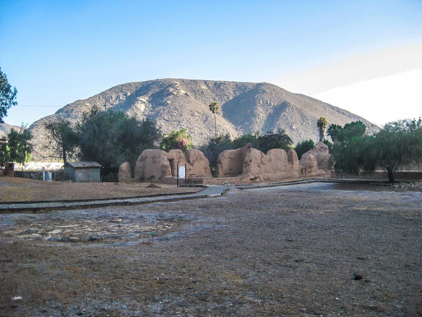
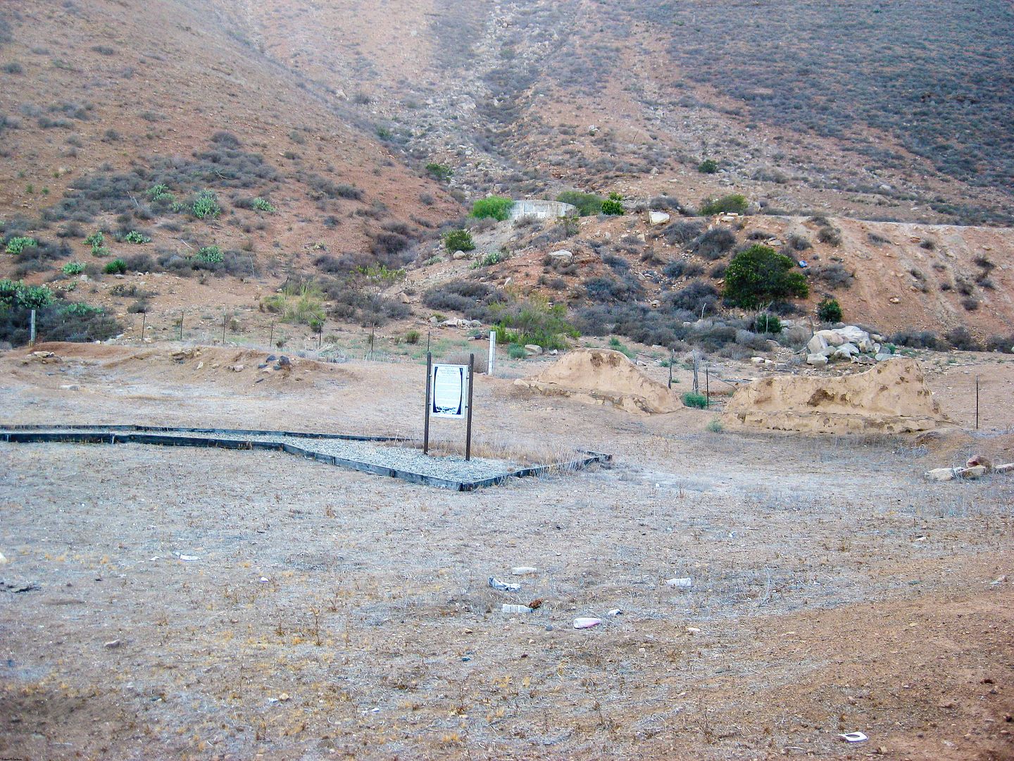
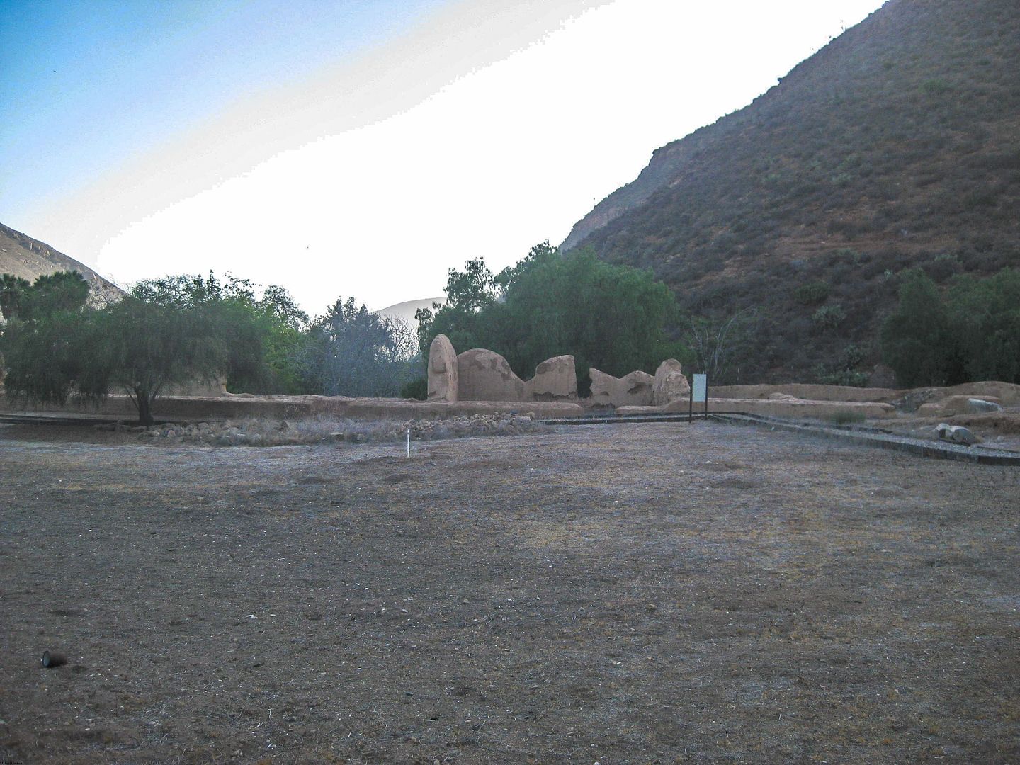
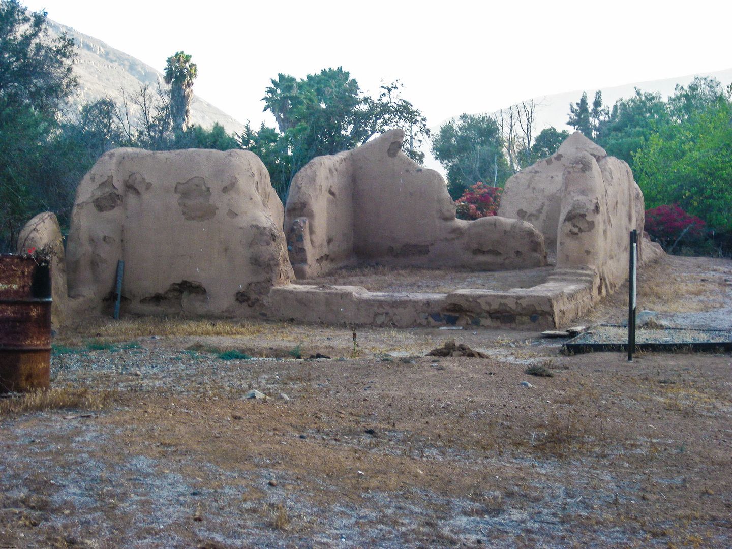
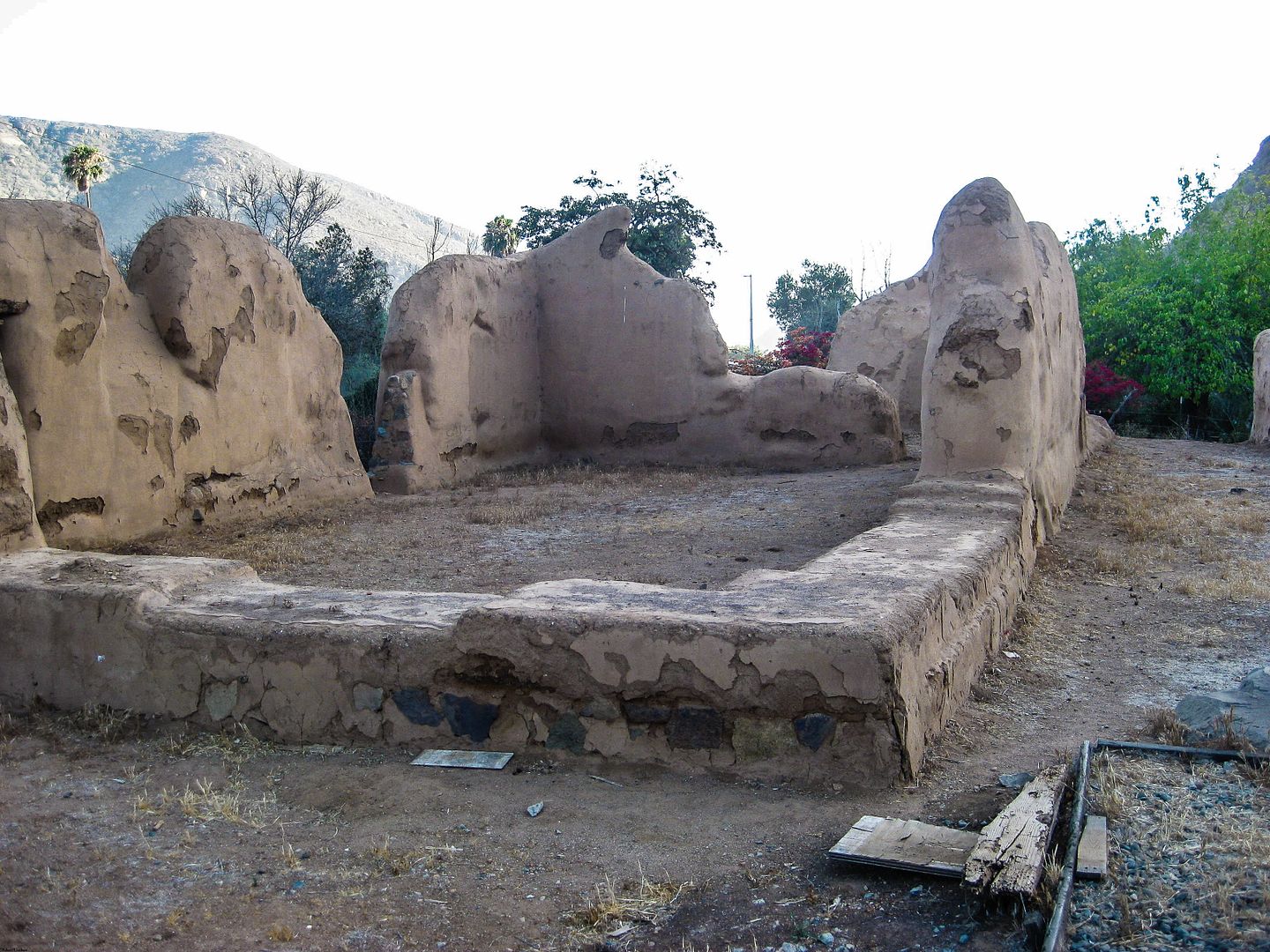
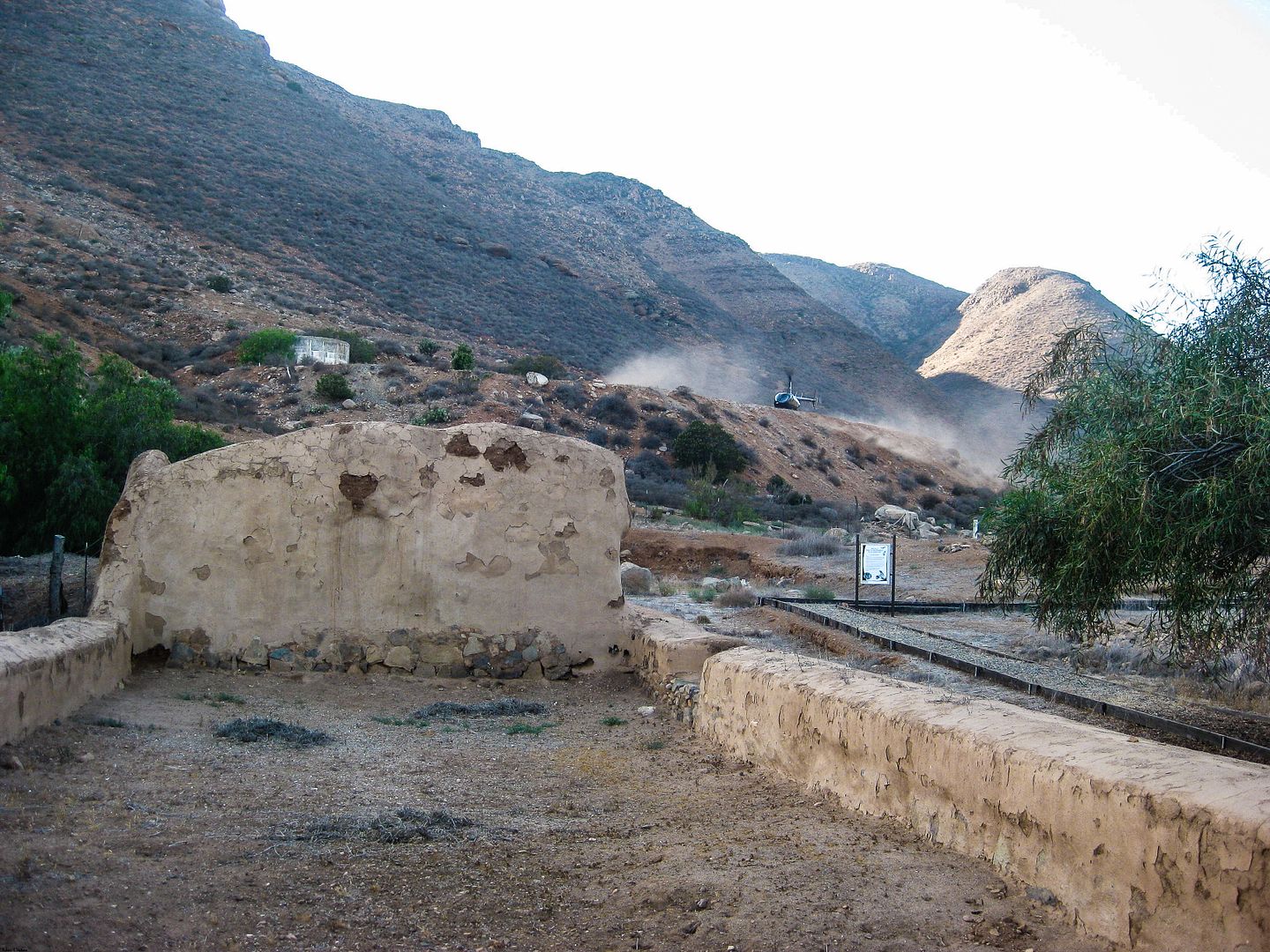
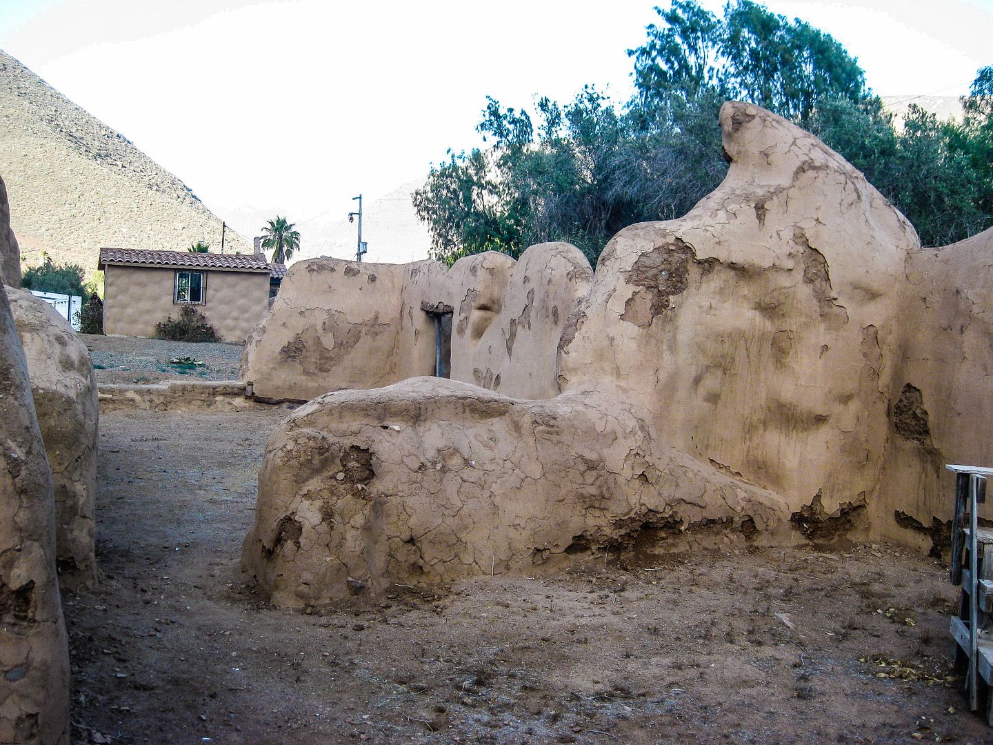
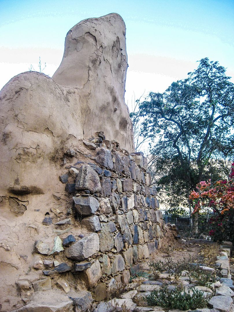
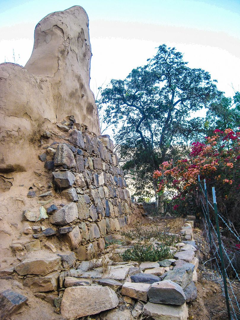
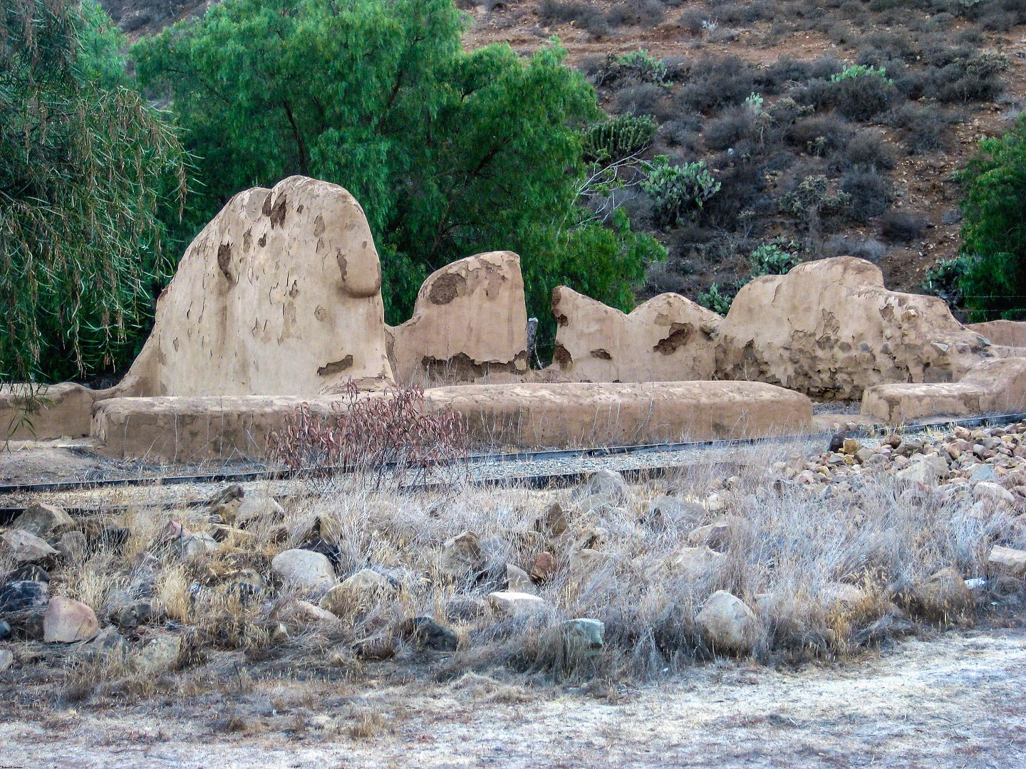
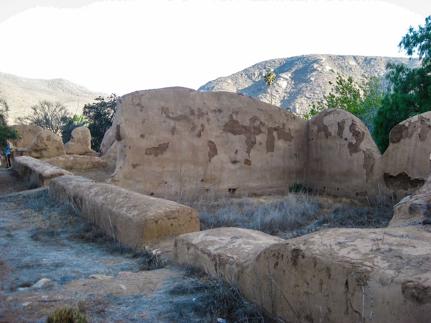
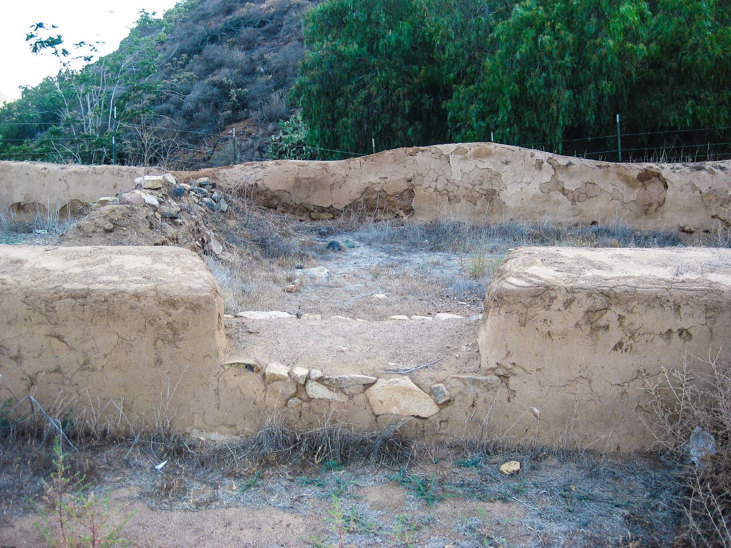
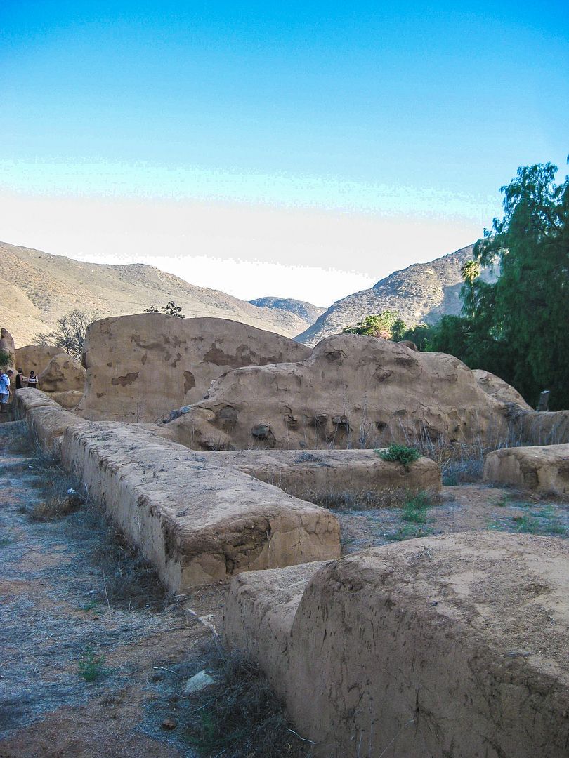
EL ROSARIO (1774, moved 1802):


SAN FERNANDO DE VELICATÁ (1769):
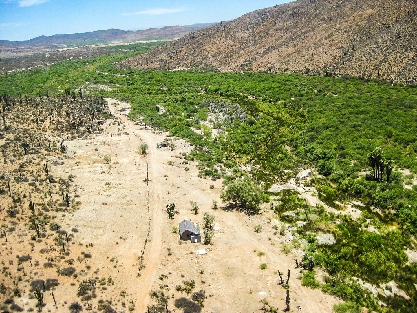
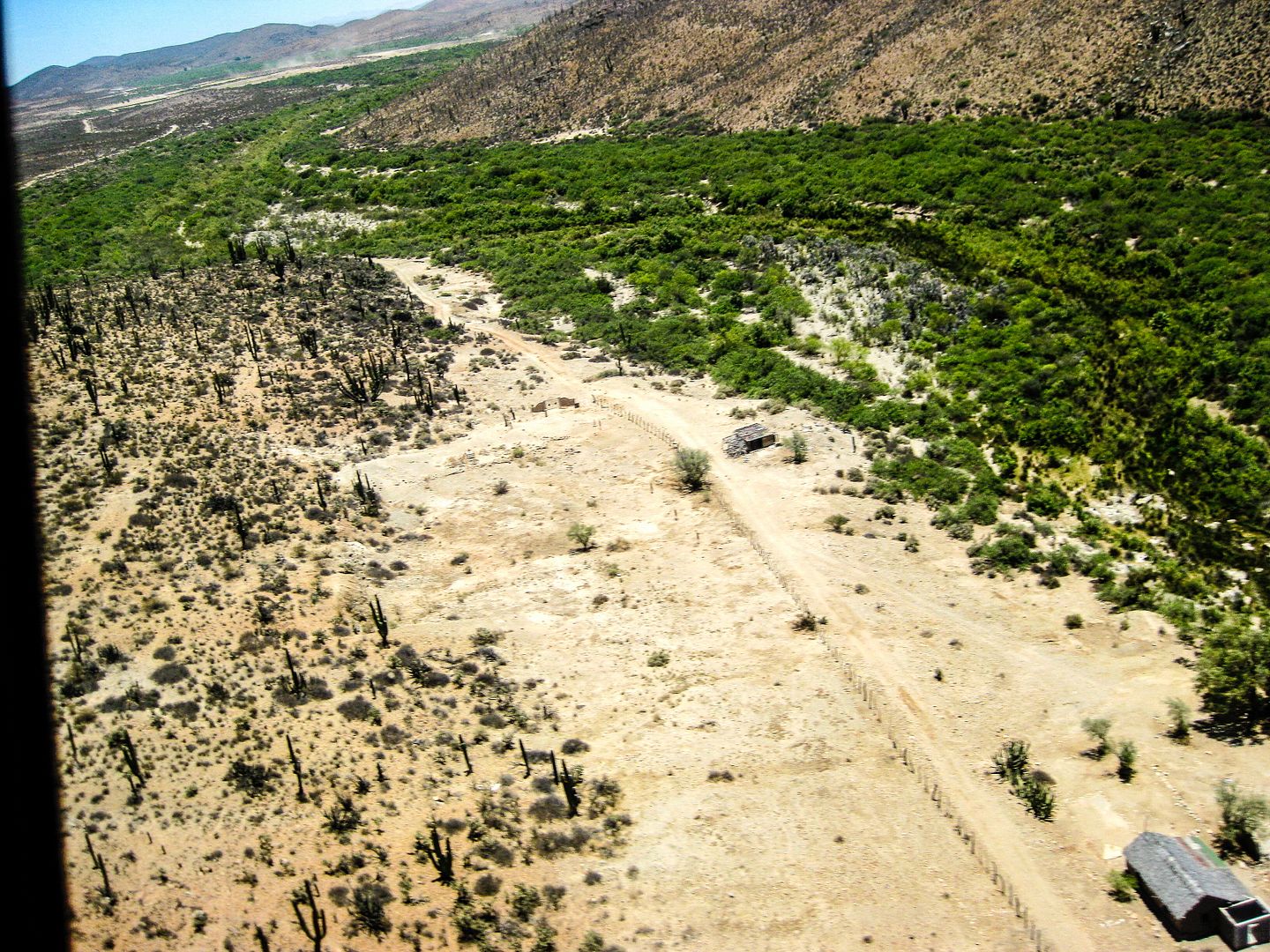
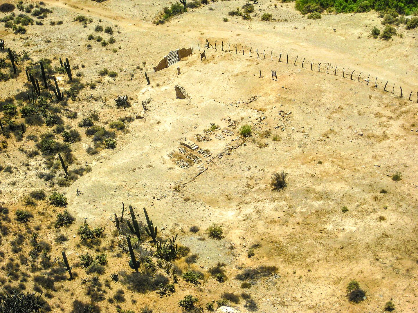
Edit to add on more photo at San Vicente
[Edited on 7-9-2014 by David K]
|
|
|
David K
Honored Nomad
        
Posts: 65361
Registered: 8-30-2002
Location: San Diego County
Member Is Online
Mood: Have Baja Fever
|
|
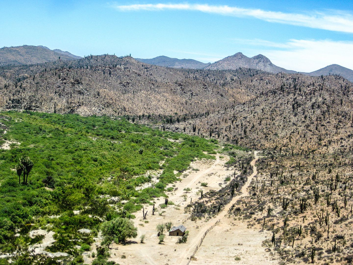
The final photo is just to the west of the mission site and shows the San Fernando arroyo. The petroglyphs are located on the cliff at the far end of
the arroyo just before it goes off the photo.
|
|
|
güéribo
Nomad
 
Posts: 239
Registered: 10-17-2014
Member Is Offline
|
|
Love these photos...like google earth, but better!
|
|
|
David K
Honored Nomad
        
Posts: 65361
Registered: 8-30-2002
Location: San Diego County
Member Is Online
Mood: Have Baja Fever
|
|
Flying in a helicopter is hard to beat to see Baja in a whole new manner!
The TV show should be coming soon... I hear I made the cut (my lecture at one or two of the missions) for the CBS Sports special... Trail of Missions
with Cameron Steel.
|
|
|
güéribo
Nomad
 
Posts: 239
Registered: 10-17-2014
Member Is Offline
|
|
Wish you could do this for all the missions! It's nice to see each mission in their geographical "context" from above.
|
|
|
CaboSur
Nomad
 
Posts: 108
Registered: 9-10-2014
Location: San Jose del Cabo
Member Is Offline
Mood: Irrelevant
|
|
Fantastic photos, certainly will visit some day
|
|
|
David K
Honored Nomad
        
Posts: 65361
Registered: 8-30-2002
Location: San Diego County
Member Is Online
Mood: Have Baja Fever
|
|
| Quote: | Originally posted by güéribo
Wish you could do this for all the missions! It's nice to see each mission in their geographical "context" from above. |
Have you seen my mission locator web page...? Google Earth at each site, driving directions, and the GPS.... http://vivabaja.com/missions4
When things get slow for me, I could do closer in Google or Bing satellite views that would be much like a helicopter view?
|
|
|
David K
Honored Nomad
        
Posts: 65361
Registered: 8-30-2002
Location: San Diego County
Member Is Online
Mood: Have Baja Fever
|
|
| Quote: | Originally posted by CaboSur
Fantastic photos, certainly will visit some day |
Here are more details and photos at the missions: http://vivabaja.com/bajamissions
and my newer history articles, with photos: http://www.discoverbaja.com/category/missions-of-baja-califo...
|
|
|

