StuckSucks
Super Nomad
   
Posts: 2366
Registered: 10-17-2013
Member Is Offline
|
|
Flying in Baja this weekend
With apologies for dirty airplane windows.


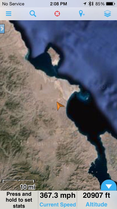
Note speed and elevation at the bottom (Gaia app for iOS):

|
|
|
Stickers
Senior Nomad
  
Posts: 572
Registered: 4-12-2006
Location: SoCal
Member Is Offline
|
|
What were you flying?
|
|
|
liknbaja127
Nomad
 
Posts: 464
Registered: 1-17-2012
Member Is Offline
|
|
Stucks, Will you guys be doing the NORRA race?
|
|
|
David K
Honored Nomad
        
Posts: 65361
Registered: 8-30-2002
Location: San Diego County
Member Is Offline
Mood: Have Baja Fever
|
|
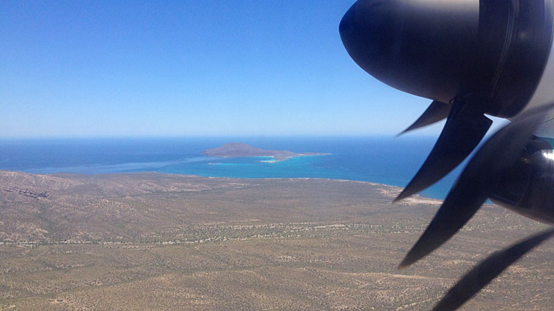
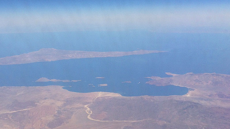
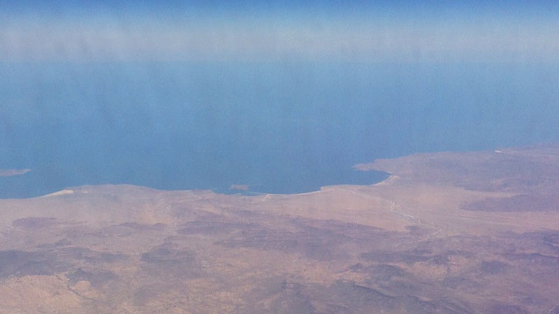
Cool... where is the first photo? The second, L.A. Bay and third, Gonzaga Bay, I recognize.
|
|
|
StuckSucks
Super Nomad
   
Posts: 2366
Registered: 10-17-2013
Member Is Offline
|
|
The first and last were northbound on an Alaska Bombardier plane (from Loreto). The Gonzaga and BofLA were taken southbound on an Alaska 737 (to
Cabo).
|
|
|
StuckSucks
Super Nomad
   
Posts: 2366
Registered: 10-17-2013
Member Is Offline
|
|
Nope, it was either the Baja Sur or the NORRA. Time to get ready for the Baja 500.
|
|
|
StuckSucks
Super Nomad
   
Posts: 2366
Registered: 10-17-2013
Member Is Offline
|
|
I knew you and others would get those. The first was taken at a relatively low altitude, soon after we took off from Loreto - could that be Coronado
Island, north of Loreto?
|
|
|
Phil C
Senior Nomad
  
Posts: 564
Registered: 3-27-2004
Location: N. San Diego County/ Loreto Centro/Lopez Mateos
Member Is Offline
|
|
What APP did you use for that screen shot?
|
|
|
StuckSucks
Super Nomad
   
Posts: 2366
Registered: 10-17-2013
Member Is Offline
|
|
Gaia GPS - Offline Topo Maps and Hiking Trails
Also available for Android.
|
|
|

