| Pages:
1
2 |
David K
Honored Nomad
        
Posts: 65443
Registered: 8-30-2002
Location: San Diego County
Member Is Offline
Mood: Have Baja Fever
|
|
Montevideo Rock Painting Site Road Closed
I got a call today from Mando (Mothership) and he was with Ivan and friends going to visit the pictograph site, Montevideo. Less than 2 miles in from
the San Borja road they came upon this sign and a locked gate:
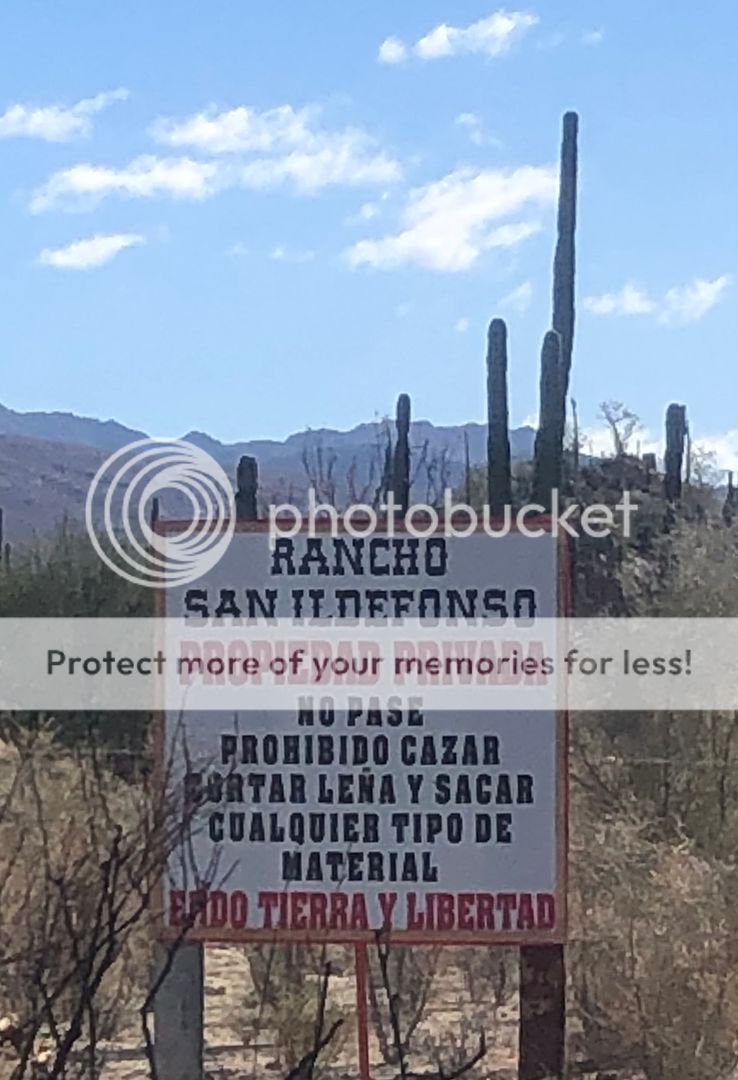
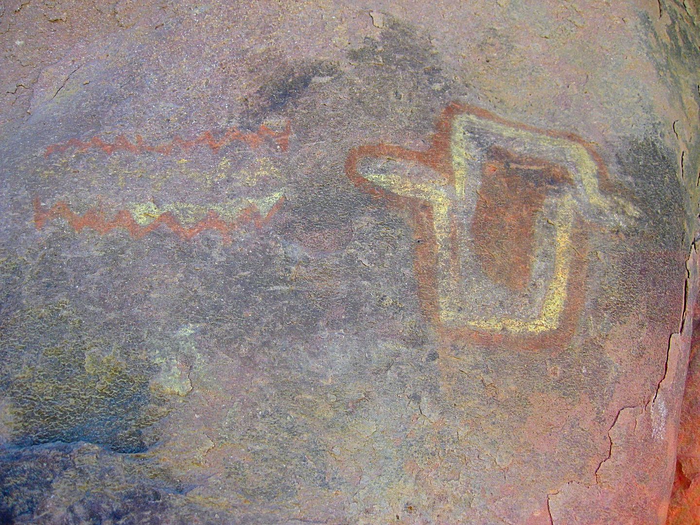
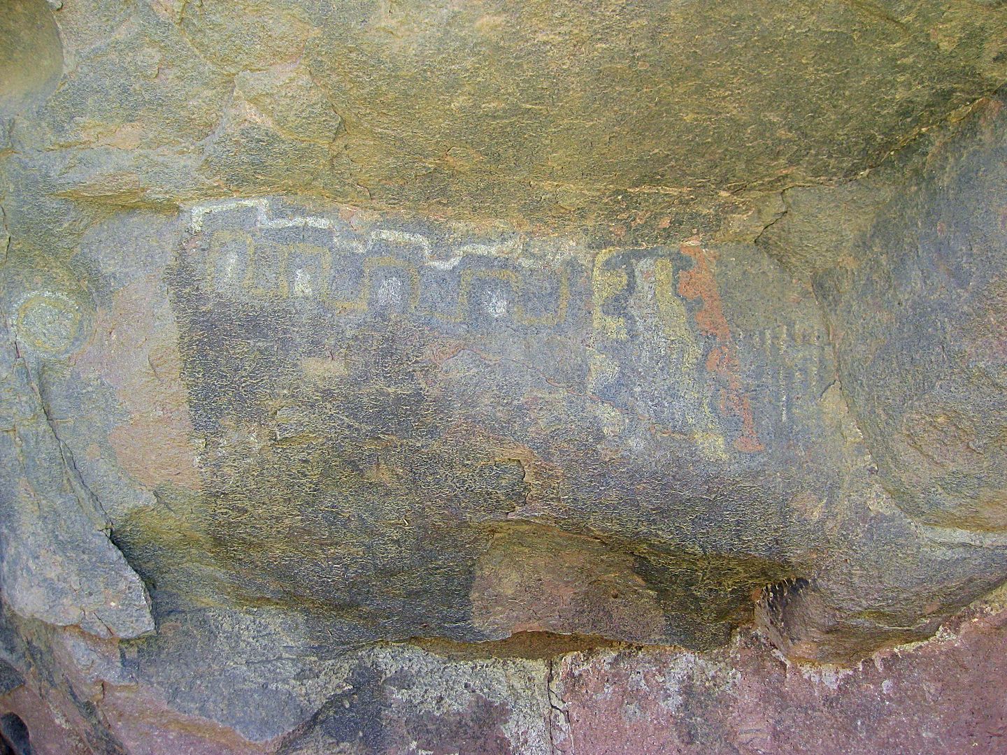
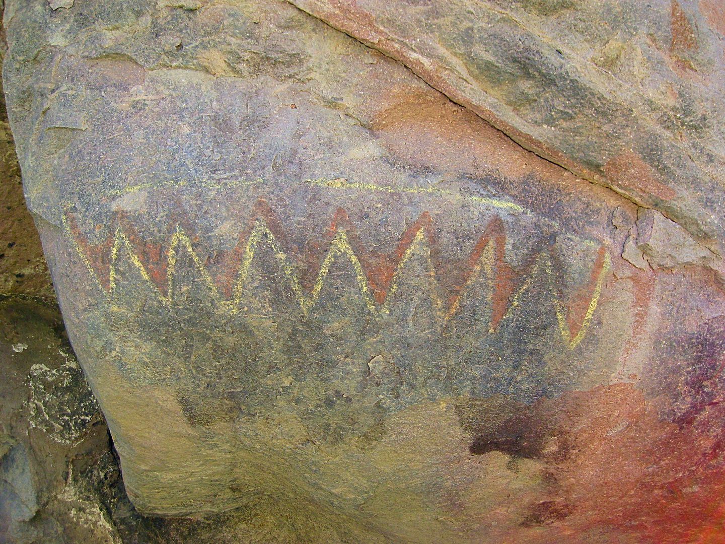
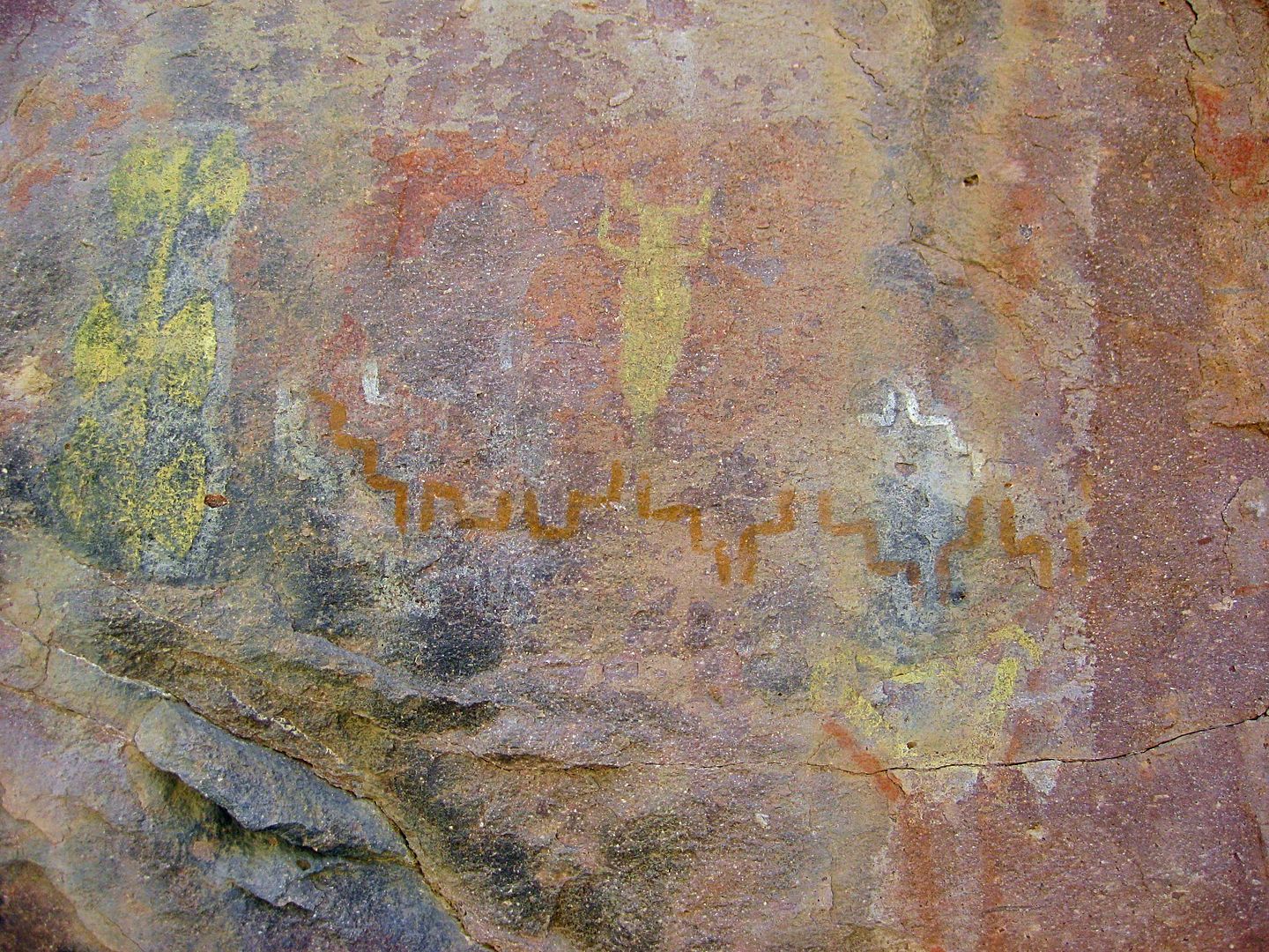
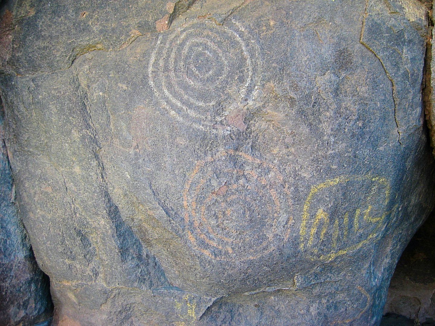
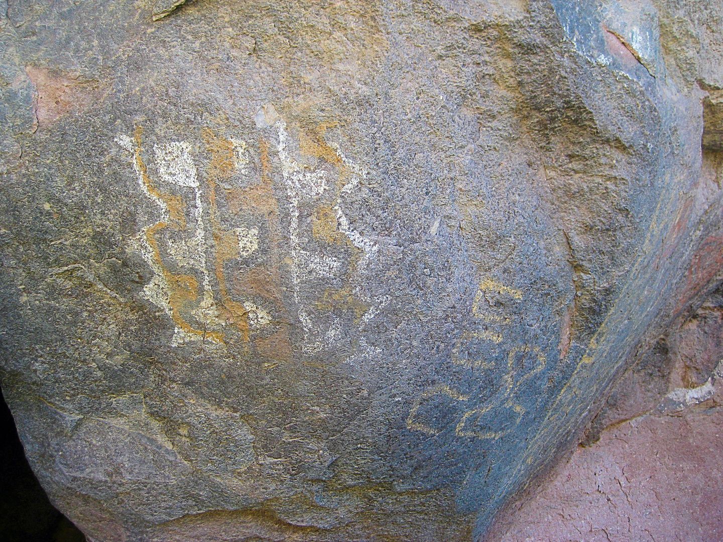
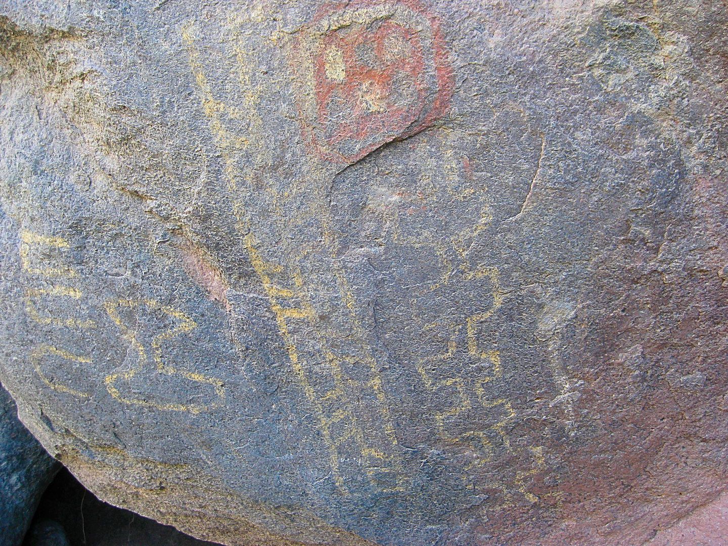
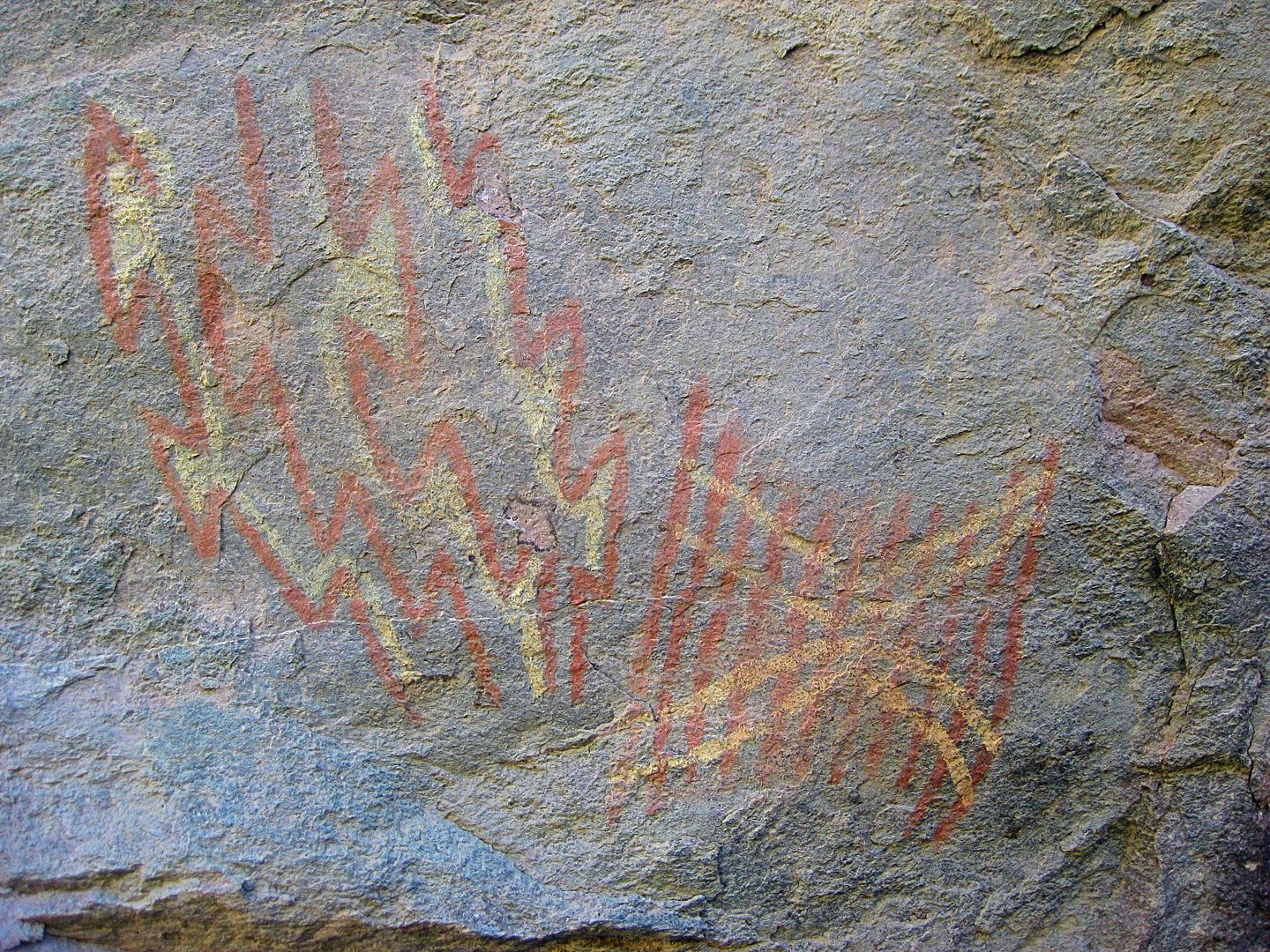
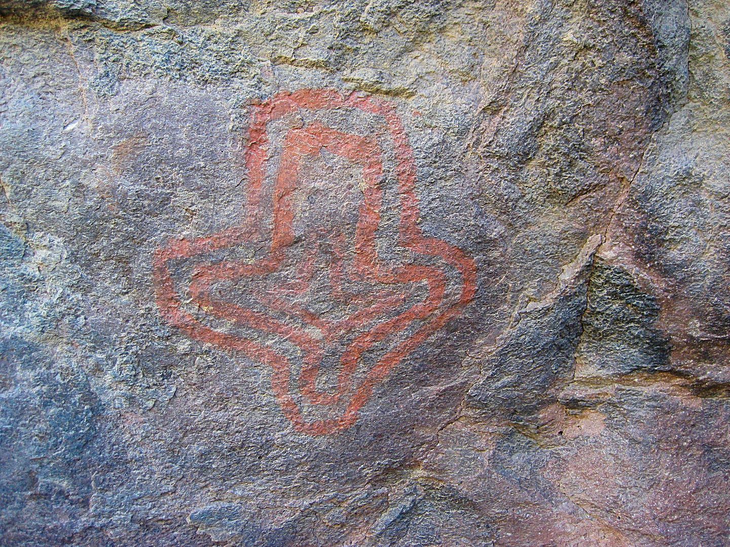
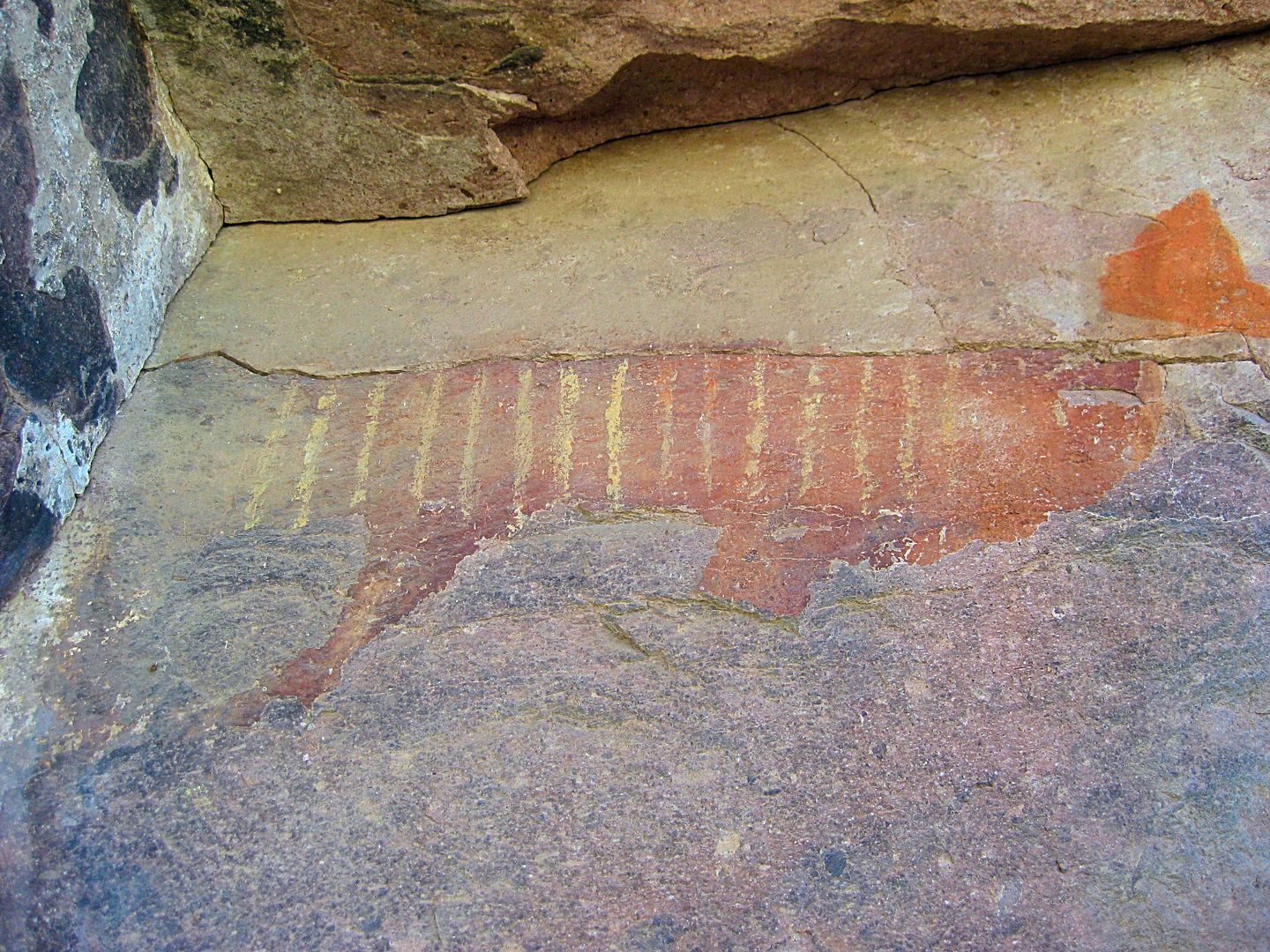
The Montevideo site has been open to the public since it was discovered (or exposed) in the 1960s. A true treasure of history that hopefully will be
available to future generations. The department of tourism has even erected signs pointing the way, in past years. It is 6 miles east from the San
Borja road, 2 miles south of the L.A. Bay highway.
I have been to the site multiple times from 2001-2017...
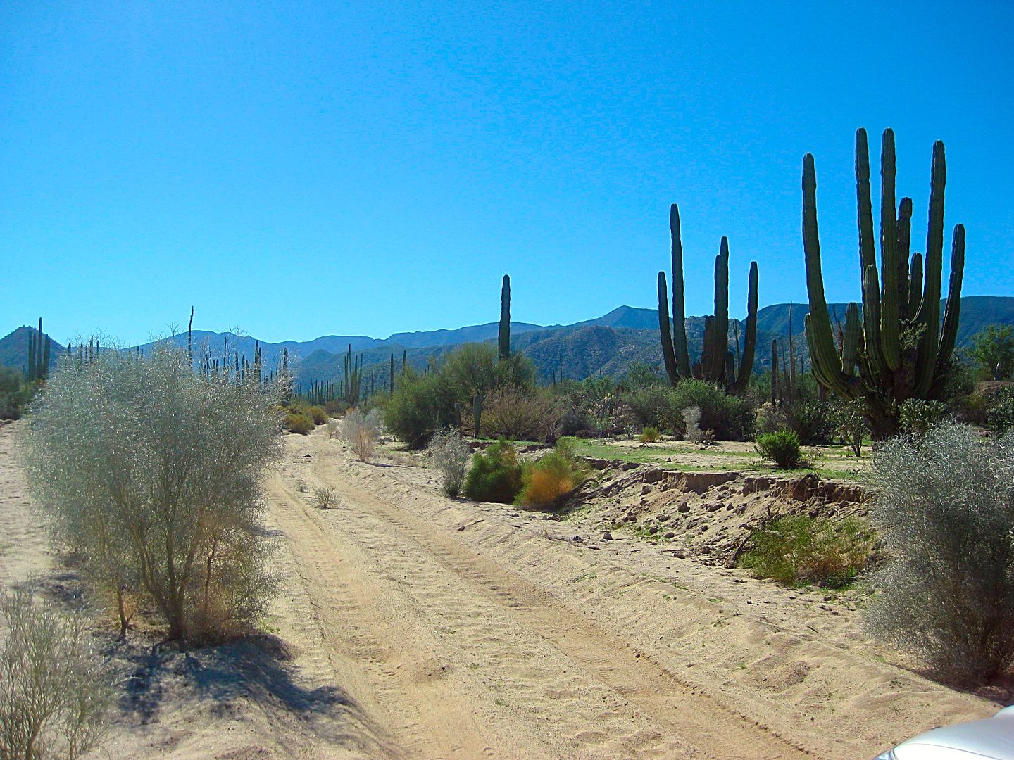
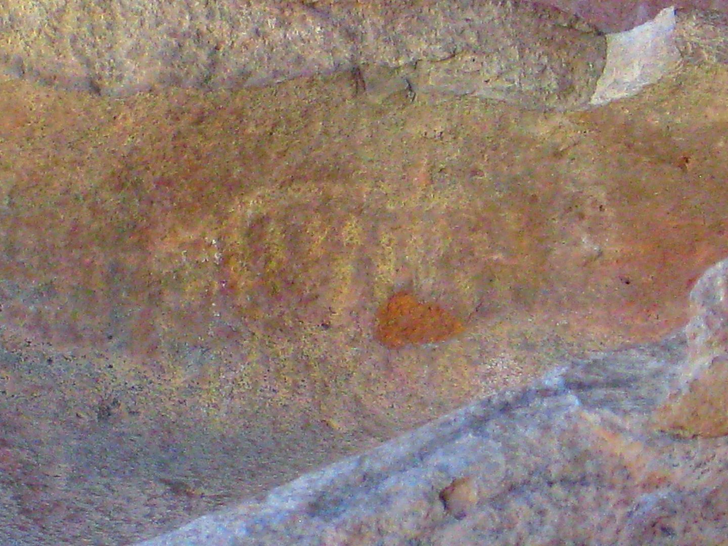
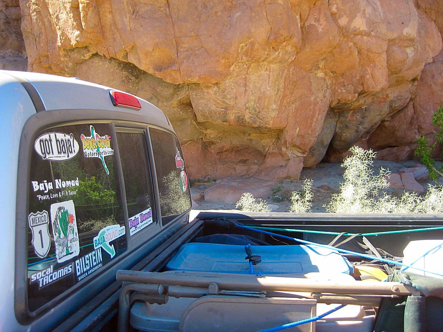
A location excellent for senior citizens and handicapped as you could drive right to the site and see the art from your car and walk about 20 feet to
get close. There has not been any graffiti despite the numbers of visitors who have shown great respect for the ancient art. Perhaps because the road
requires 4WD (in recent years)... as bad roads bring only good people?
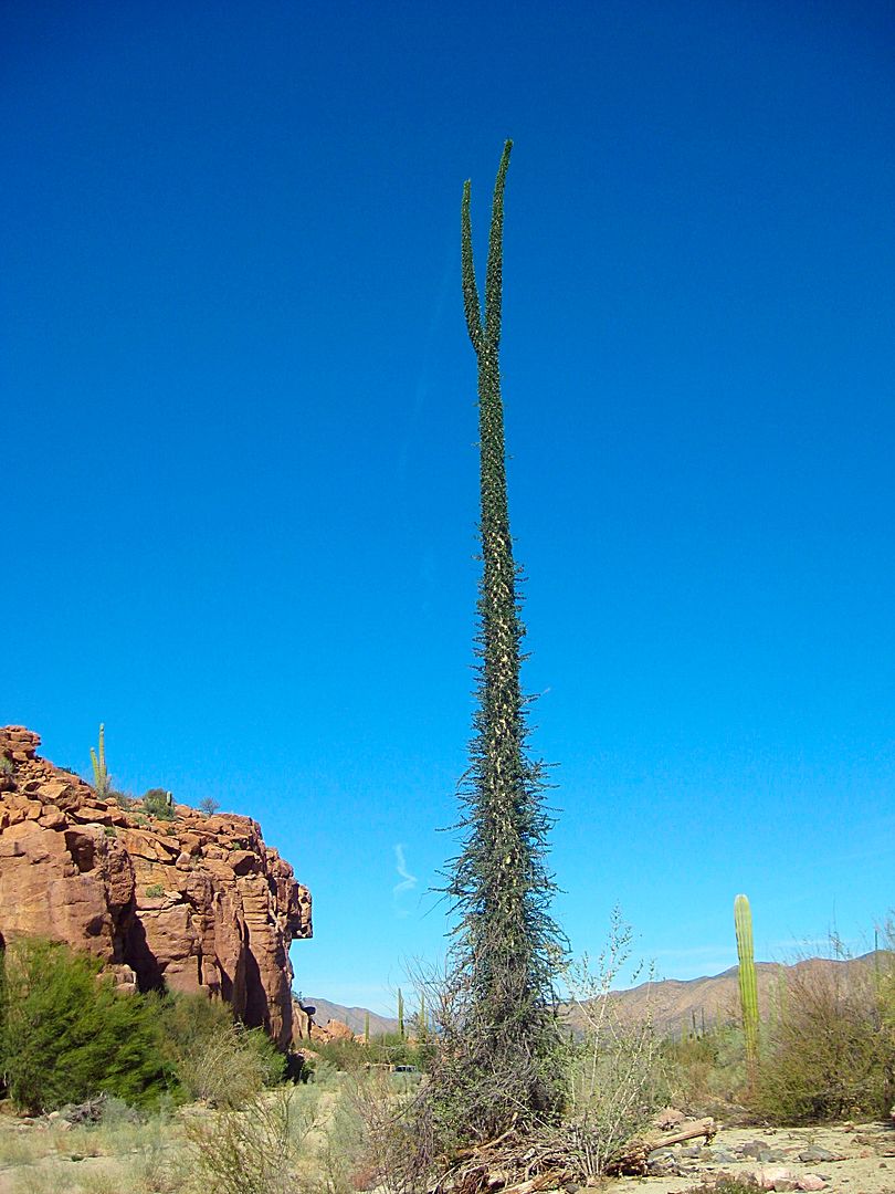
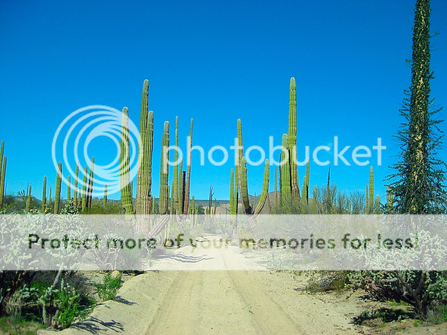
My February 2017 photos, including the road in and out, and how close the site is from the road:
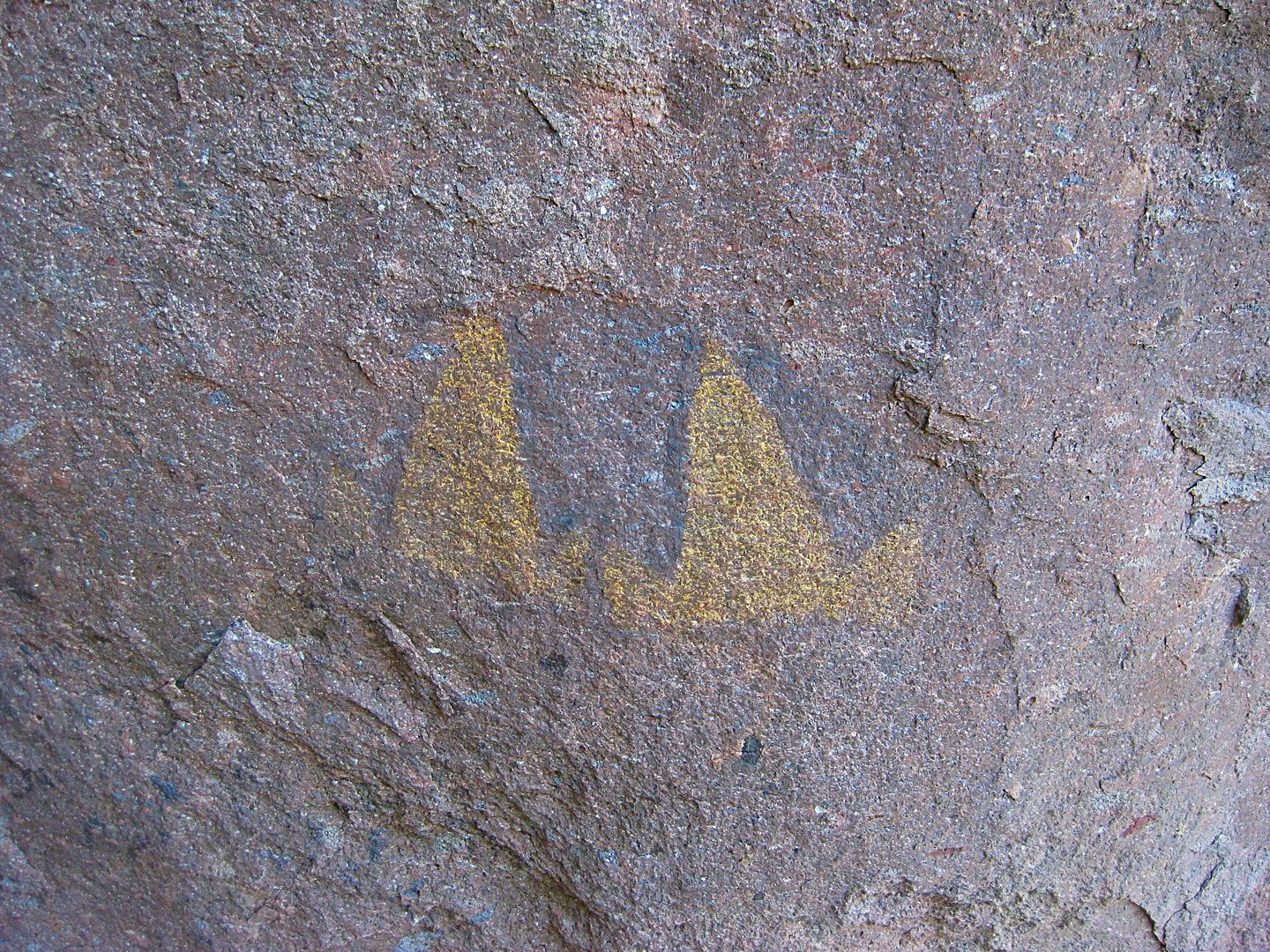
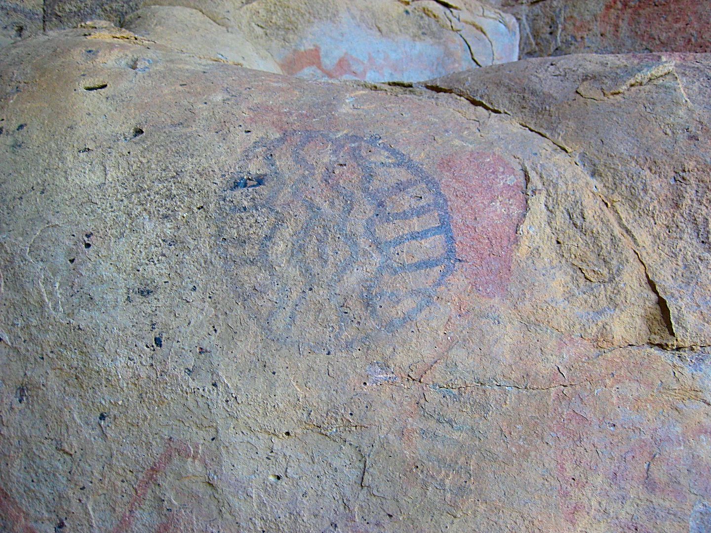
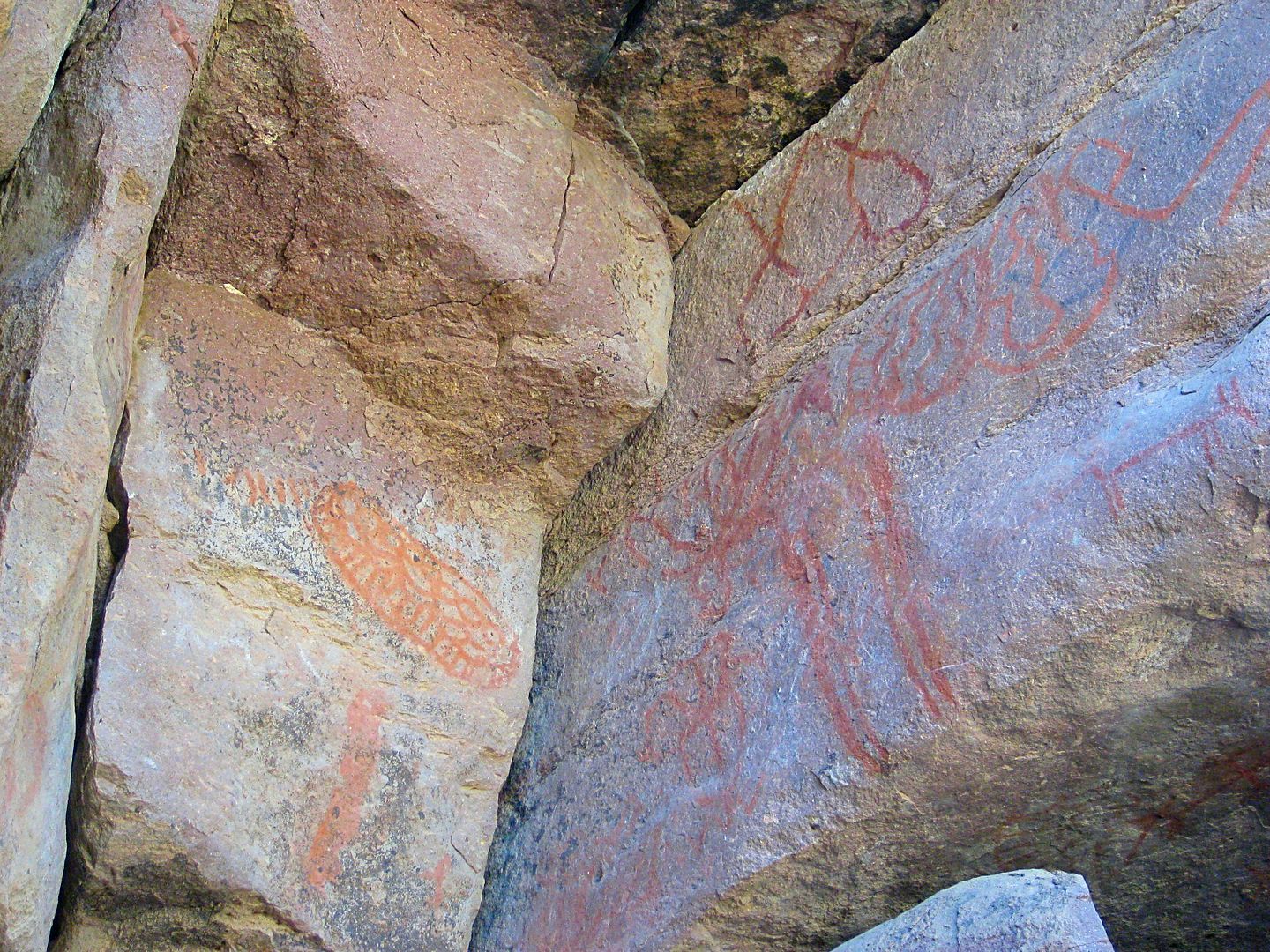
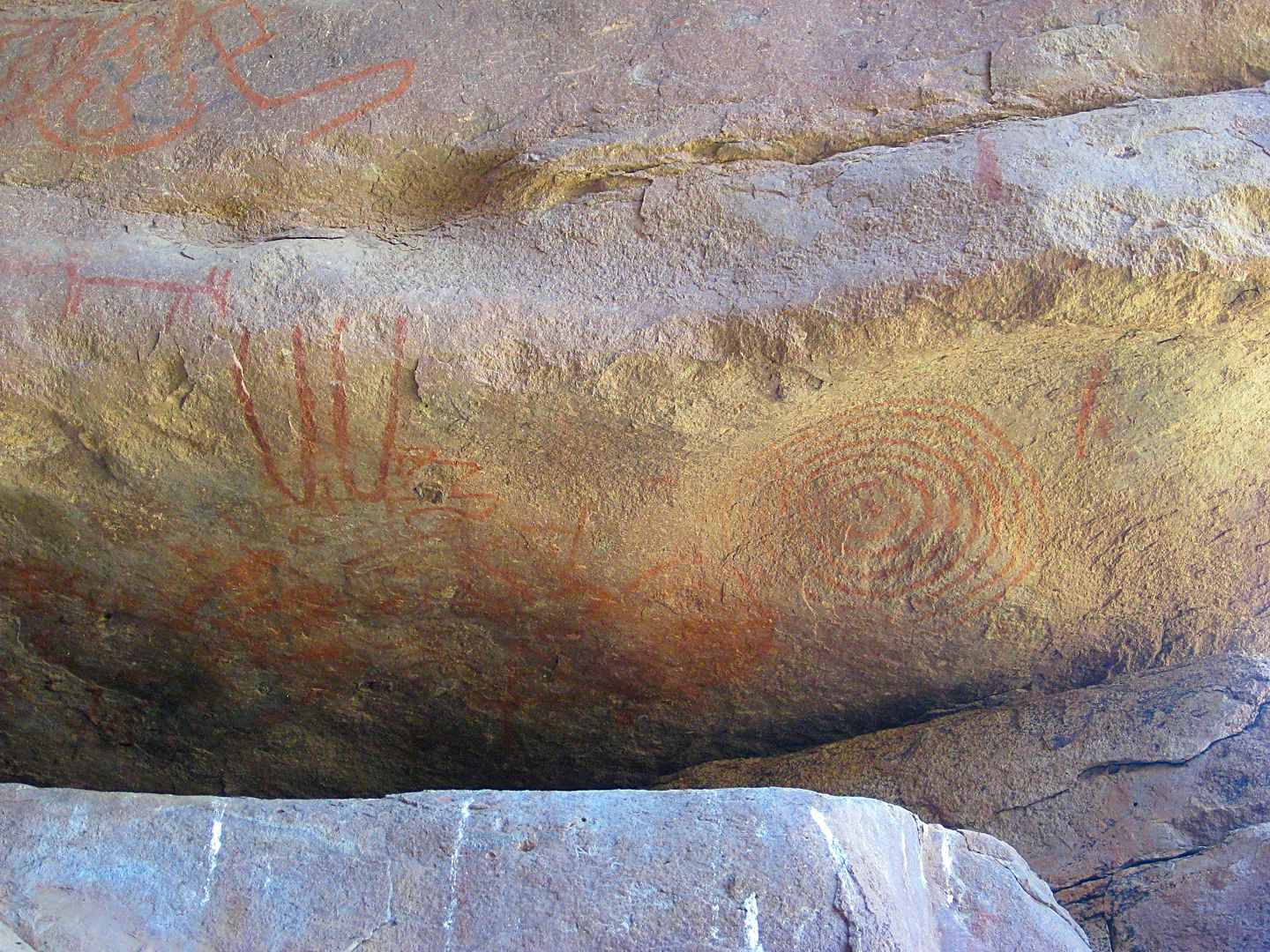
[Edited on 1-7-2019 by David K]
|
|
|
4x4abc
Ultra Nomad
    
Posts: 4454
Registered: 4-24-2009
Location: La Paz, BCS
Member Is Offline
Mood: happy - always
|
|
are both roads closed or just the main one?
Harald Pietschmann
|
|
|
David K
Honored Nomad
        
Posts: 65443
Registered: 8-30-2002
Location: San Diego County
Member Is Offline
Mood: Have Baja Fever
|
|
Both roads? Where is a second road coming from?
EDIT: The second road joins the main road in before the location of the new gate/ fence. Sad.
[Edited on 1-4-2019 by David K]
|
|
|
4x4abc
Ultra Nomad
    
Posts: 4454
Registered: 4-24-2009
Location: La Paz, BCS
Member Is Offline
Mood: happy - always
|
|
road starting at Rancho Agua Higuera
have used it many times
http://baja101.com/Baja-GPS/Agua-Higuera-4x4.kmz
Harald Pietschmann
|
|
|
PaulW
Ultra Nomad
    
Posts: 3113
Registered: 5-21-2013
Member Is Offline
|
|
David, Do you have the coordinates of teh sign?
|
|
|
mtgoat666
Platinum Nomad
       
Posts: 20588
Registered: 9-16-2006
Location: San Diego
Member Is Offline
Mood: Hot n spicy
|
|
Road closed?
You can thank the bad behaviour of the off-roaders!
Woke!
Hands off!
“Por el bien de todos, primero los pobres.”
“...ask not what your country can do for you – ask what you can do for your country.” “My fellow citizens of the world: ask not what America
will do for you, but what together we can do for the freedom of man.”
Pronoun: the royal we
|
|
|
KasloKid
Nomad
 
Posts: 327
Registered: 8-29-2009
Member Is Offline
|
|
Accusations are a non-starter without proof....
|
|
|
David K
Honored Nomad
        
Posts: 65443
Registered: 8-30-2002
Location: San Diego County
Member Is Offline
Mood: Have Baja Fever
|
|
No, as it wasn't me, it was Mando... but I will ask (actually Mando 'Mothership' reads Nomad).
Edit: Approx. here: 28° 55.790'N, 113° 44.928'W
[Edited on 1-4-2019 by David K]
|
|
|
David K
Honored Nomad
        
Posts: 65443
Registered: 8-30-2002
Location: San Diego County
Member Is Offline
Mood: Have Baja Fever
|
|
As you have no clue or have ever been there, let's say it is more likely a case of controlling cattle movement. Mando reported a new cattle guard was
placed over the graded road, nearby.
|
|
|
David K
Honored Nomad
        
Posts: 65443
Registered: 8-30-2002
Location: San Diego County
Member Is Offline
Mood: Have Baja Fever
|
|
OK, Mando looked and then called me.
The new gate/ fence is past where Harald's La Higuera road joins the original road, where there is a narrow pass between the hill and the side of the
valley, here is the approx. GPS of the new fence/ locked gate:
28° 55.790'N, 113° 44.928'W
|
|
|
thebajarunner
Ultra Nomad
    
Posts: 3754
Registered: 9-8-2003
Location: Arizona....."Free at last from crumbling Cali
Member Is Offline
Mood: muy amable
|
|
The uniformed arrive on scene
Too bad you don't like Baja
cuz you sure hang around those of us that do and annoy us
What a fun life you must lead.....not!!!!
|
|
|
willardguy
Elite Nomad
     
Posts: 6451
Registered: 9-19-2009
Member Is Offline
|
|
pretty obvious to me these ancient graffiti artists were also some of the earliest So Cal mc members!

|
|
|
elfbrewery
Nomad
 
Posts: 349
Registered: 12-25-2006
Member Is Offline
|
|
I take it that the cave paintings are past the closed road sign. I had hoped they were closer to Hwy 12. *SIGH!
|
|
|
David K
Honored Nomad
        
Posts: 65443
Registered: 8-30-2002
Location: San Diego County
Member Is Offline
Mood: Have Baja Fever
|
|
Yes, that is the issue. The road goes about 6 miles into the painted cliff. The new fence crosses it about 4 miles in or 2 miles from the cliff.
I know Google Maps calls it Hwy. 12, but there are no signs in Mexico calling it Hwy. 12... It remains signed as an extension of Hwy. 1. We just say
"L.A. Bay Highway" for clarification.
|
|
|
4x4abc
Ultra Nomad
    
Posts: 4454
Registered: 4-24-2009
Location: La Paz, BCS
Member Is Offline
Mood: happy - always
|
|
so we lost another Baja gem
Harald Pietschmann
|
|
|
El Cabrito
Newbie
Posts: 8
Registered: 1-19-2017
Location: 415
Member Is Offline
|
|
Harald,
I was thinking about driving out a ways and hiking in. We like to get exercise and I know the missus is going to want to do some hiking.
Are your tracks you posted earlier all the way to the paintings?
I drove out many years ago, and last year I rode out on my Moto. I didn't find the paintings I'd seen in the 90's but found different ones.
Last January we rode about 6-7 miles up the wash (same one I drove years back) and never came to any gates or signs
[Edited on 1-6-2019 by El Cabrito]
[Edited on 1-6-2019 by El Cabrito]
|
|
|
4x4abc
Ultra Nomad
    
Posts: 4454
Registered: 4-24-2009
Location: La Paz, BCS
Member Is Offline
Mood: happy - always
|
|
about a 2 mile hike from the new gate
http://baja101.com/Baja-GPS/Montevideo.kmz
Harald Pietschmann
|
|
|
El Cabrito
Newbie
Posts: 8
Registered: 1-19-2017
Location: 415
Member Is Offline
|
|
Thanks for this.
Riding Moto's doesn't really allow you to look around a lot when in the sand and dodging cactus..
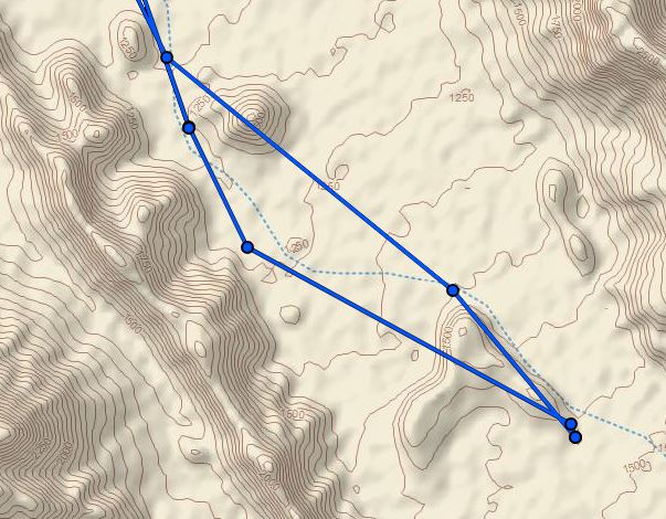
Looks like I went a little too far last January. We stopped at the far end of the rock face so we missed all the good stuff.
[Edited on 1-6-2019 by El Cabrito]
|
|
|
David K
Honored Nomad
        
Posts: 65443
Registered: 8-30-2002
Location: San Diego County
Member Is Offline
Mood: Have Baja Fever
|
|
Quote: Originally posted by El Cabrito  | Harald,
I was thinking about driving out a ways and hiking in. We like to get exercise and I know the missus is going to want to do some hiking.
Are your tracks you posted earlier all the way to the paintings?
I drove out many years ago, and last year I rode out on my Moto. I didn't find the paintings I'd seen in the 90's but found different ones.
Last January we rode about 6-7 miles up the wash (same one I drove years back) and never came to any gates or signs
[Edited on 1-6-2019 by El Cabrito]
[Edited on 1-6-2019 by El Cabrito] |
Welcome to Nomad...
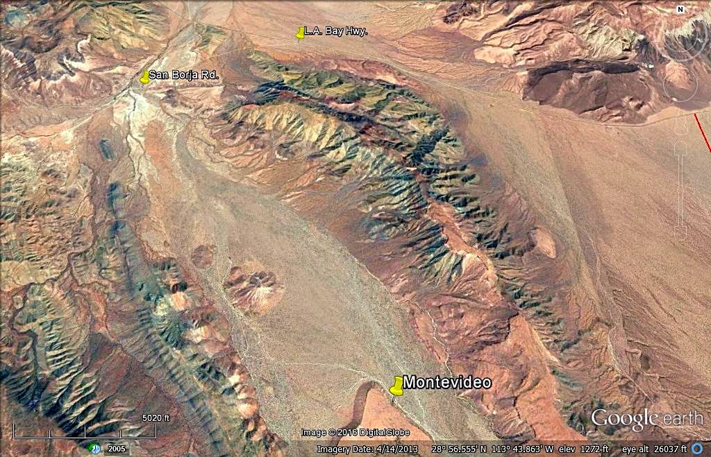
See the yellow pushpin, which is at the painting location:
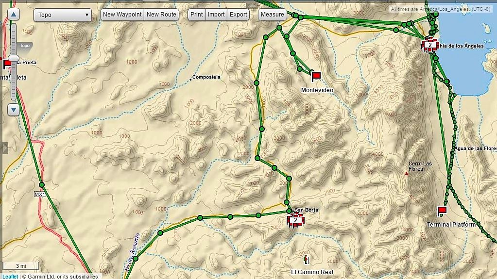
Here is my GPS inReach track map:
|
|
|
PaulW
Ultra Nomad
    
Posts: 3113
Registered: 5-21-2013
Member Is Offline
|
|
Summary
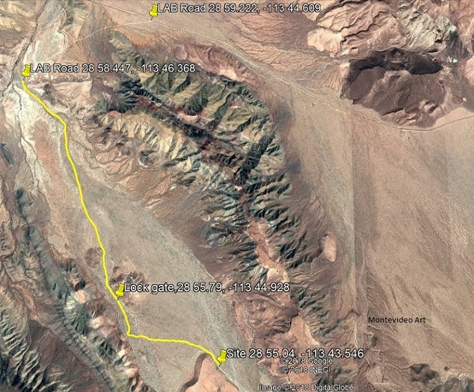
Here is a GE image based on all of your contributors.
Thanks to all for the inputs.
|
|
|
| Pages:
1
2 |

