David K
Honored Nomad
        
Posts: 65390
Registered: 8-30-2002
Location: San Diego County
Member Is Offline
Mood: Have Baja Fever
|
|
CLIFF CROSS 1970 & 1972 MAPS
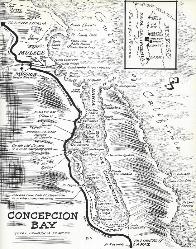
Cliff Cross was a wonderful artist in showing bird's eye views of places in Baja. His 1970 guide was very popular and filled the Baja guidebook gap
between Howard Gulick's 1962 Lower California Guidebook and Tom Miller's The Baja Book.
There were a few errors and Cliff mentioned them in the updated editions that came on 1972, 1974, and 1975. When Highway 1 was completed in 1973, he
simply drew in a paved road in the '74 edition, over his beautiful maps. It wasn't always correctly located and there were no revised road logs.
Other little errors were placing the Calamajué mission on the wrong side of the arroyo; putting the Agua Dulce spring on the wrong side of the main
road; and placing the new graded road along Bahía Concepción away from the shoreline. This was corrected when he made it a paved road (the 1974 map
is included to compare).
[if anyone has a slow Internet and all the maps don't open easily, let me know and I will divide them in 3 or 4 post replies.]
Enjoy a look at his over 50 maps from the 1970 & '72 editions:




|
|
|
David K
Honored Nomad
        
Posts: 65390
Registered: 8-30-2002
Location: San Diego County
Member Is Offline
Mood: Have Baja Fever
|
|
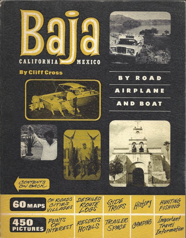
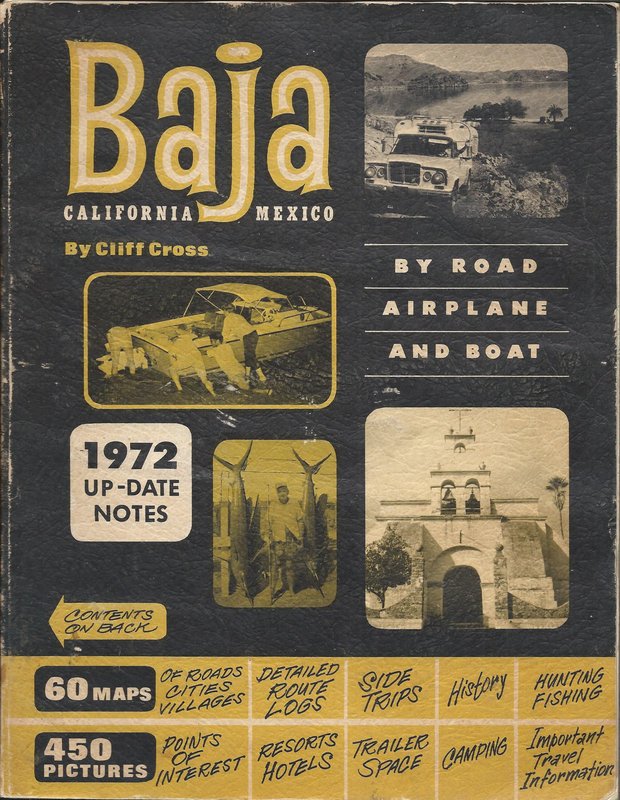
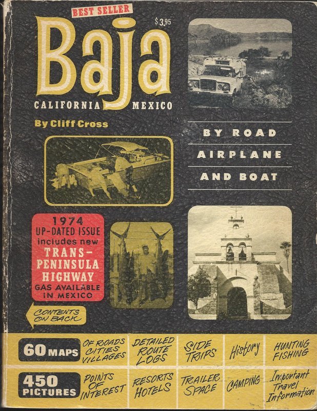
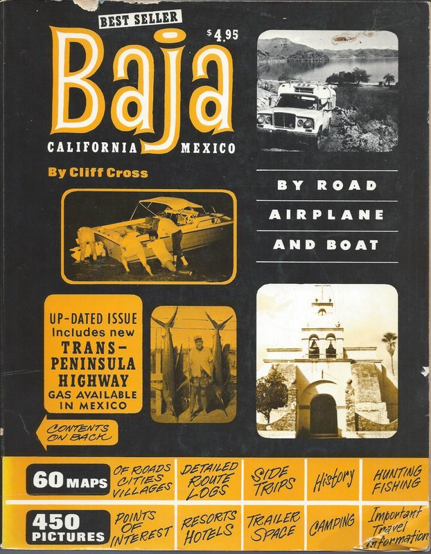
The Cliff Cross Baja Guide was the biggest guidebook deal in the early 1970s. It filled in the gap between Gerhard & Gulick's 'Lower California
Guidebook' and Tom Miller's 'The Baja Book':
Four editions (1970, 1972, 1974 [two versions]):
|
|
|
David K
Honored Nomad
        
Posts: 65390
Registered: 8-30-2002
Location: San Diego County
Member Is Offline
Mood: Have Baja Fever
|
|
Anyone here, still alive, who had this book and enjoyed using it on their Baja trips?
The maps were epic in that they could be read by anyone being more of a birds-eye-view sketch in many cases.
As with any map, they become obsolete with time. What they do perfectly is give us a look back in time to the way things were!
|
|
|
KurtG
Super Nomad
   
Posts: 1211
Registered: 1-27-2004
Location: California Central Coast
Member Is Offline
Mood: Press On Regardless!!
|
|
Quote: Originally posted by David K  | Anyone here, still alive, who had this book and enjoyed using it on their Baja trips?
The maps were epic in that they could be read by anyone being more of a birds-eye-view sketch in many cases.
As with any map, they become obsolete with time. What they do perfectly is give us a look back in time to the way things were! |
Yes, bought my copy while on my first Baja motorcycle ride in October 74. Mine is the '73 edition. Cost new was $3.50. My book is in good shape
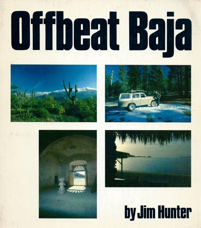
except that the binding is failing. I also have and like Jim Hunter's slightly later "Off Beat Baja".
|
|
|
David K
Honored Nomad
        
Posts: 65390
Registered: 8-30-2002
Location: San Diego County
Member Is Offline
Mood: Have Baja Fever
|
|
Hi Kurt!
Curious what the 1973 cover looks like, I had not seen it... I don't think?
Yes, Jim Hunter's book was excellent with his road classification system so detailed! His maps were really lacking, but the detail of the logs makes
up for that!
From 1977:
|
|
|
|

