PaulW
Ultra Nomad
    
Posts: 3113
Registered: 5-21-2013
Member Is Offline
|
|
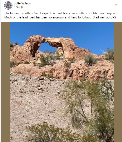
Matomi Arch
March 16 2022 update
Found the road leading off Matomi up the Las Blancas drainage. Found vehicle tracks to follow, but they were lost and eventually ended. Of course I
had my trusty GPS and found my previous track was so overgrown the it was hard to see any evidence of a track. Had to drive thru small bushes and
across several wash outs. Finally got to the arch where Julie took this picture.
|
|
|
StuckSucks
Super Nomad
   
Posts: 2369
Registered: 10-17-2013
Location: Pacific Plate
Member Is Offline
|
|
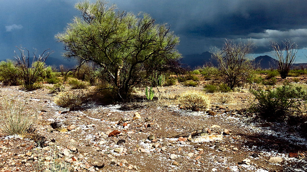
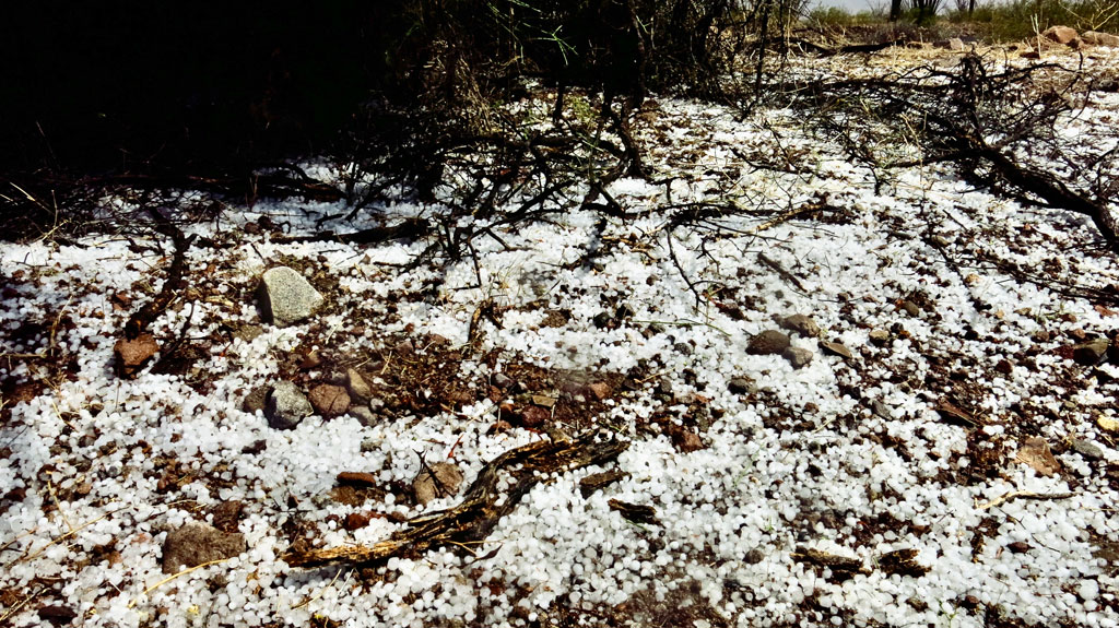
Awesome that you guys made it! I tried a year ago, but the tracks disappeared, and since it was hailing and nasty (and I was solo), I decided to save
the arch for another day.
|
|
|
bajatrailrider
Ultra Nomad
    
Posts: 2511
Registered: 1-24-2015
Location: Mexico
Member Is Offline
Mood: Happy
|
|
Cool pictures thank you
|
|
|
David K
Honored Nomad
        
Posts: 65416
Registered: 8-30-2002
Location: San Diego County
Member Is Offline
Mood: Have Baja Fever
|
|
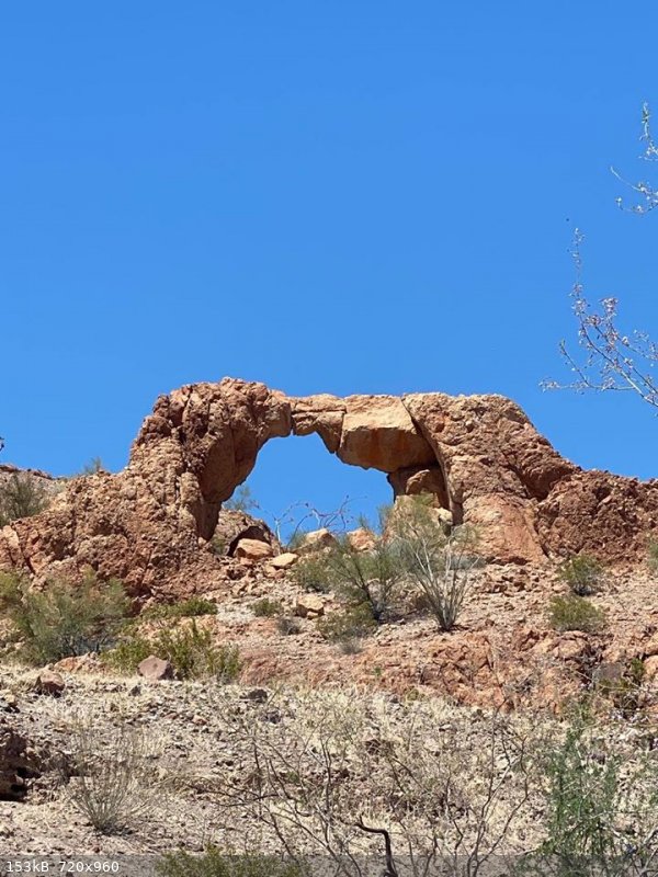
The Arch in 2020
Wornout went there with his weekly tour group on May 15, 2020 (see it on Relive)
I had hoped to see it in 2017, after going to the Matomí Falls, from Valle Chico. The Matomí Canyon narrows was just not going to let me through,
however.
[Edited on 3-26-2022 by David K]
|
|
|
PaulW
Ultra Nomad
    
Posts: 3113
Registered: 5-21-2013
Member Is Offline
|
|
I think You meant May 15 2020
Regardless, a major change in vegetation and terrain until 2022.
|
|
|
4x4abc
Ultra Nomad
    
Posts: 4454
Registered: 4-24-2009
Location: La Paz, BCS
Member Is Offline
Mood: happy - always
|
|
track
Attachment: 4x4 mining to fragile arch.kmz (10kB)
This file has been downloaded 261 times
Harald Pietschmann
|
|
|
David K
Honored Nomad
        
Posts: 65416
Registered: 8-30-2002
Location: San Diego County
Member Is Offline
Mood: Have Baja Fever
|
|
Thanks, FIXED!
I would like to see photos taken from the other side of that arch...
You know, if you walk through, do you go back in time like on Star Trek's City of the Edge of Forever, or go to another universe? LOL
|
|
|
StuckSucks
Super Nomad
   
Posts: 2369
Registered: 10-17-2013
Location: Pacific Plate
Member Is Offline
|
|
I assume this was your track to the arch? My attempt was farther north, closer to the hills which got me into more vegetation (trees) and bigger rocks
(a more active arroyo).
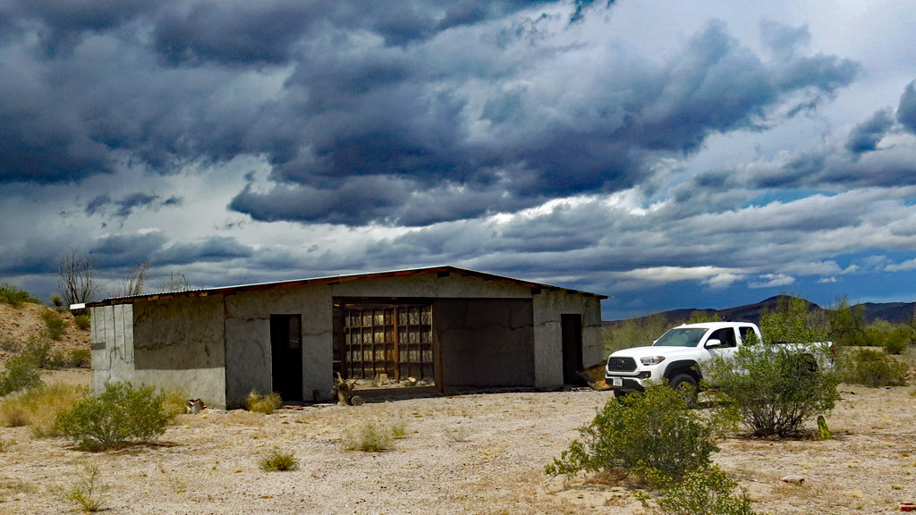
As I was headed toward the arch, the storm was approaching from the west.
|
|
|
PaulW
Ultra Nomad
    
Posts: 3113
Registered: 5-21-2013
Member Is Offline
|
|
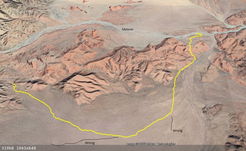
Matomi Arch track
The track Harald posted is correct
See the track mistakes
|
|
|
4x4abc
Ultra Nomad
    
Posts: 4454
Registered: 4-24-2009
Location: La Paz, BCS
Member Is Offline
Mood: happy - always
|
|
i followed a track years back
it lead to a work camp
possibly prospecting
at the marker are some interesting cross bars
could not tell whether it was to deter airplanes from landing
or to slow down the water flow
30°26'5.28"N, 114°51'18.40"W
Attachment: 4x4 rural mining faint.kmz (3kB)
This file has been downloaded 257 times 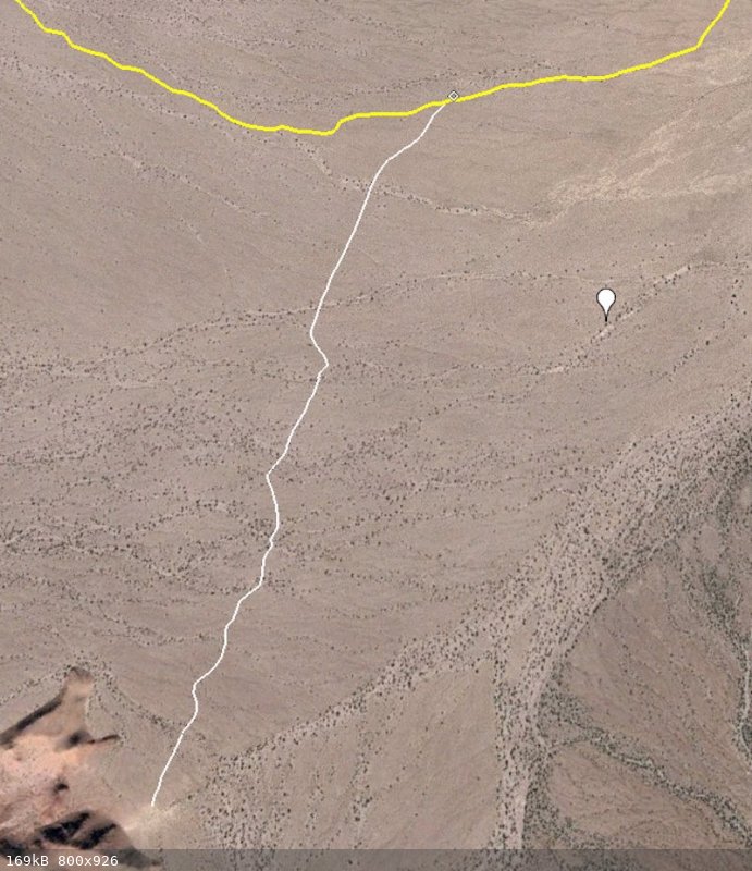
Harald Pietschmann
|
|
|
David K
Honored Nomad
        
Posts: 65416
Registered: 8-30-2002
Location: San Diego County
Member Is Offline
Mood: Have Baja Fever
|
|
Very cool, guys!
|
|
|

