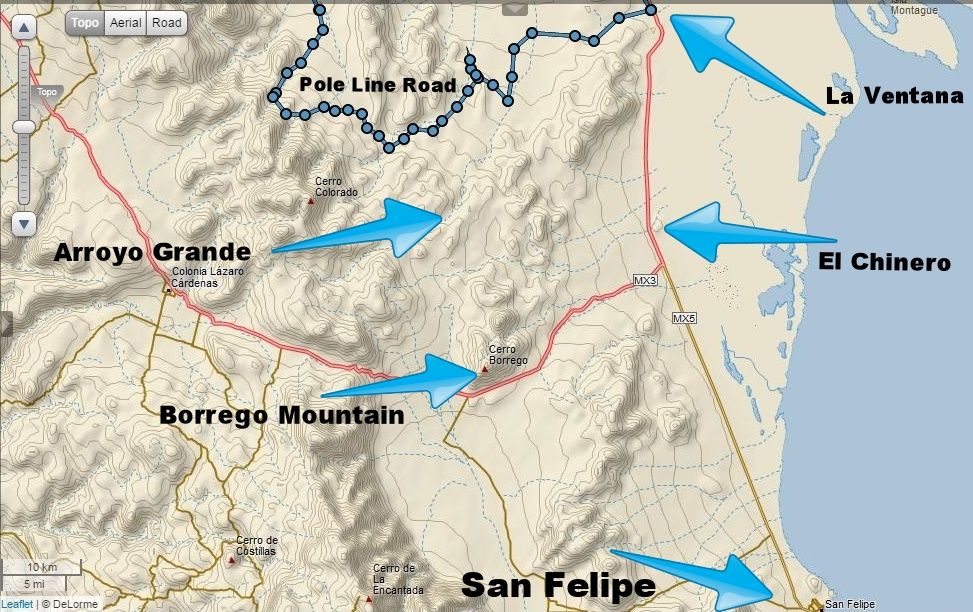
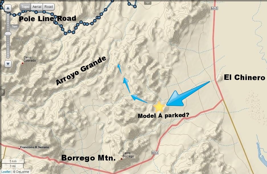
Not too far south in AG (Arroyo Grande), but to begin their hike... after they realized they were too far to walk to the Tinajas or Palmitas hills
where they hoped to find blue palms. Possibly they didn't realize they were too far from them until they were at the divide (top) of the Sierra Pintas
and could see the other ranges or the Sierra Juarez for reference?
Henderson wrote other letters to Pepper/Desert Magazine and in Choral Pepper's telling of the story, she has some of those notes about the purpose of
the hike. Of course, those stories from Pepper's pen are not as exact as the letter from Henderson I shared here. |