
David K - 11-3-2010 at 05:42 PM
Continued from Part 2:
http://forums.bajanomad.com/viewthread.php?tid=48791
This section of the old main transpeninsular road and Mexico Hwy. 1 has a wide seperation of the two routes.
Before 1955, there was no Guerrero Negro and the important town in the middle of the peninsula was El Arco. But, by the time the route for the new
Baja highway was surveyed, El Arco was shrinking and Guerrero Negro was growing.
The new highway was routed along the Pacific coast and would come within 2 miles of Guerrero Negro. El Arco was still important enough to gain a 25
mile long paved access highway (Mexico Hwy. 18). Once the thin pavement wore away, it was never replaced, however.
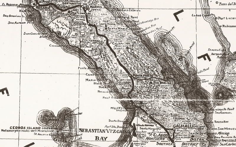
Here are the Old Road maps of this section, with Highway One, Highway 18, and a couple other new roads added in:
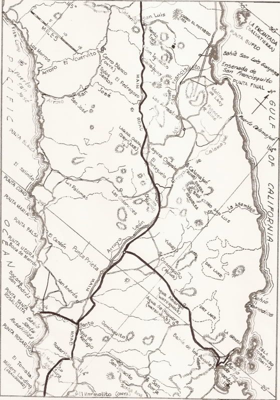

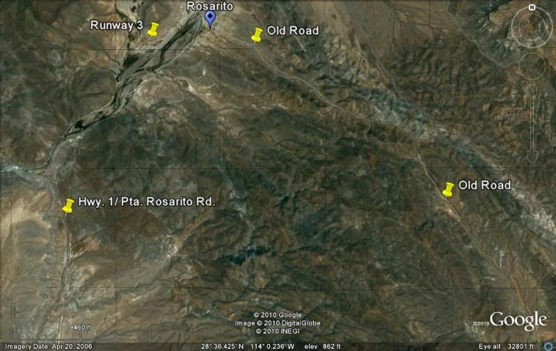
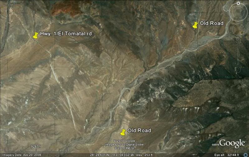
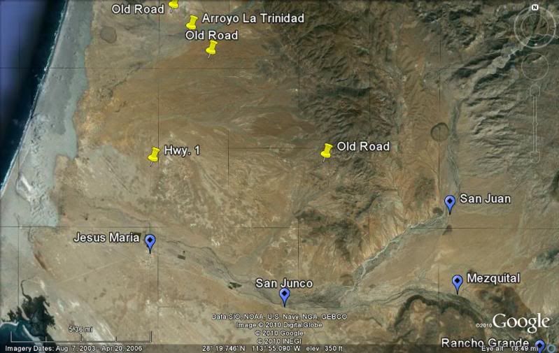
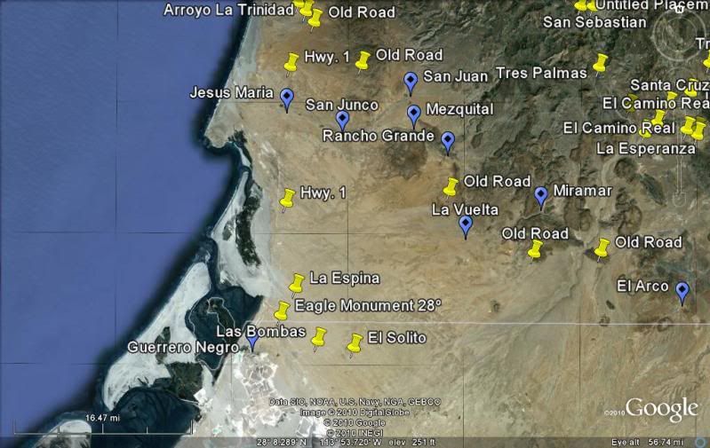
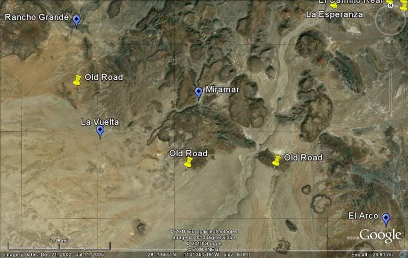
Now, the satellite images (north at top). Places named on the old map have been found and marked on the satellite map. The placement of Highway One on
the old map is also made as it is seen on the satellite images.
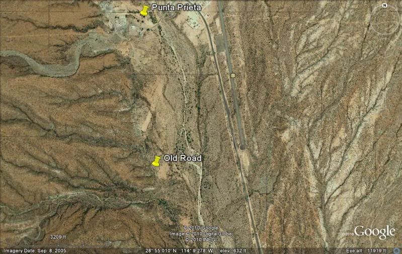
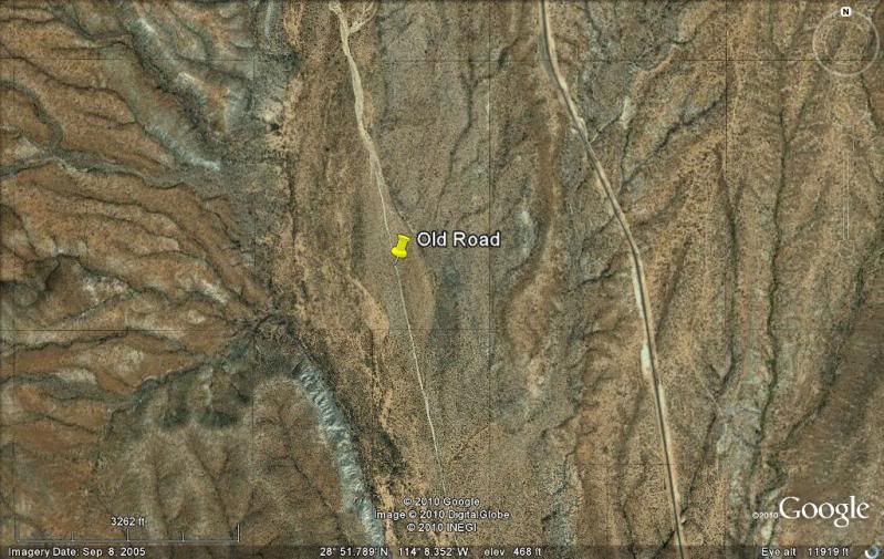
Punta Prieta south...
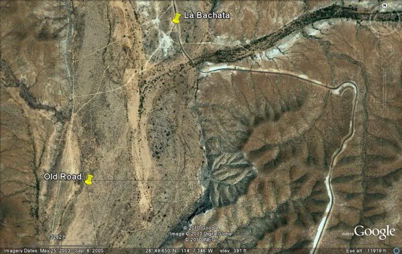
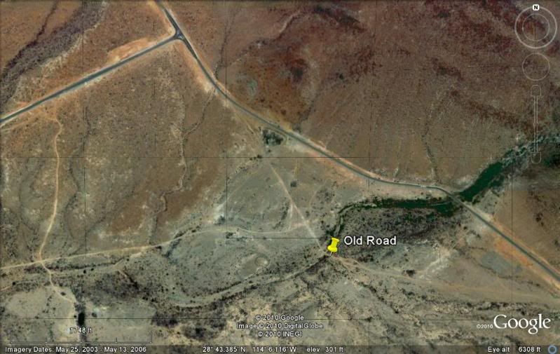
The new Santa Rosalillita paved highway at Agua de Refugio, on the old road.
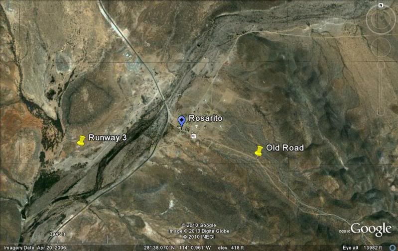
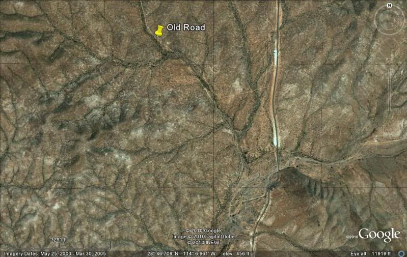
At Rosarito, the old road continued south over the hills and the new highway turns west following the arroyo for a short distance before heading south
again.
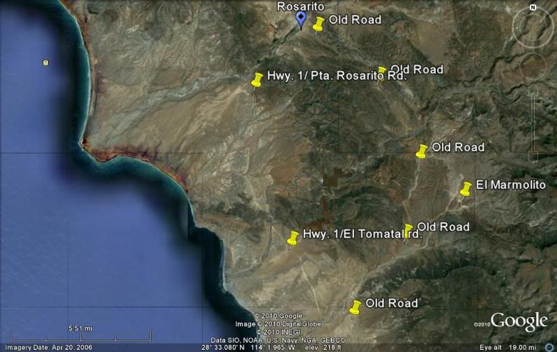
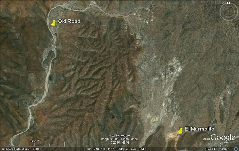
The old road passed near El Marmolito, an onyx mine whose blocks of onyx was shipped out to sea at Miller's Landing, just south of El Tomatal.
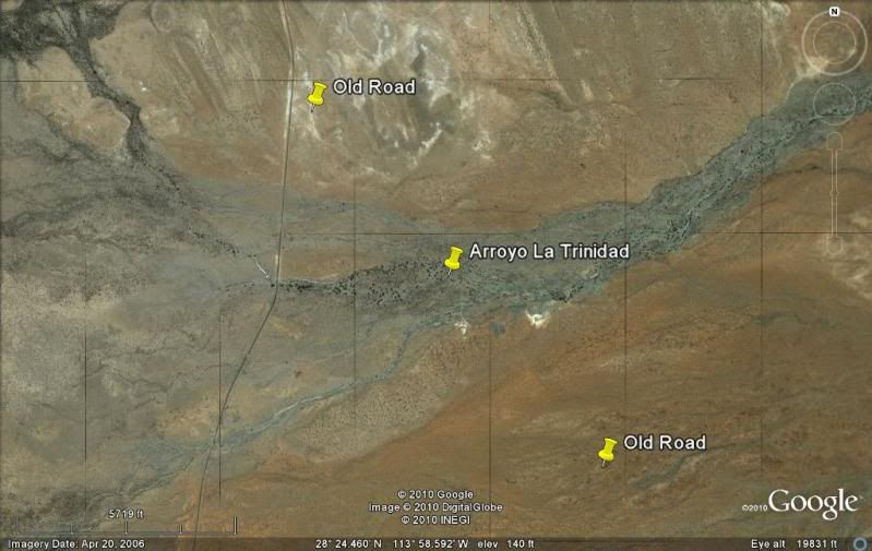
The old and new roads almost touch near Arroyo Trinidad.
Old map again to make easy viewing between it and the satellite images just above.
David K - 11-11-2010 at 07:51 AM
Are you guys ready for more?
El Arco to San Ignacio?
The old main road joins the new highway just south of Vizcaino... you can see it coming down a hill. Driving north in 2009 we pulled off on it and
took photos... Stay tuned!
TMW - 11-11-2010 at 08:09 AM
More More More
David K - 11-11-2010 at 08:47 AM
Before I head south of El Arco, here is a look at a 1941 automobile travel map of the area from El Rosario to El Arco, which I covered in the first
three parts of this series...
David K - 9-13-2012 at 01:30 PM
Part 4 (El Arco to San Ignacio): http://forums.bajanomad.com/viewthread.php?tid=49055
4x4abc - 2-9-2015 at 01:29 AM
thank you Sir!
David K - 2-9-2015 at 09:27 AM
De nada amigo! Hope it helps with your Google Earth project. I did this a few years ago, so perhaps the imaging is better now?
David K - 8-22-2016 at 11:46 AM
Part 3 bump