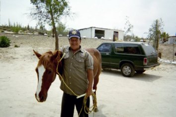
Originally posted by TW
I've never been to the site.
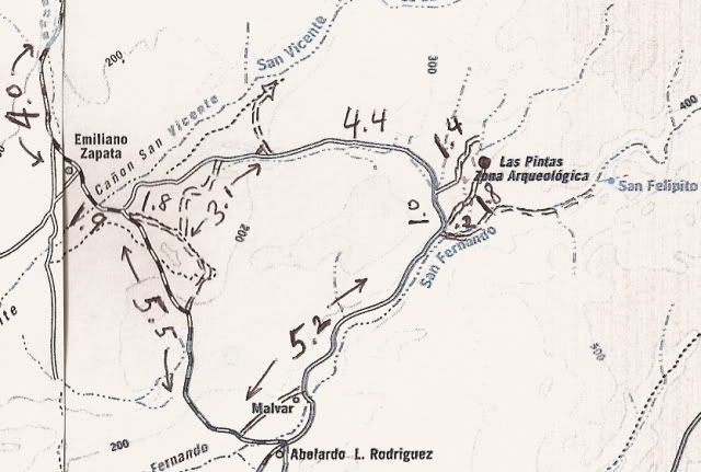
Here is Davids directions:
DIRECTIONS
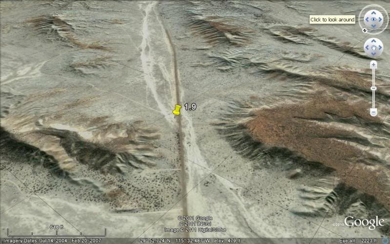
Highway 1, southward from El Rosario 14.6 miles (between Km. 80-81), turn right at the left curve. GPS: 30°01.59', 115°32.05' (Map datum set to 'NAD27
Mexico')
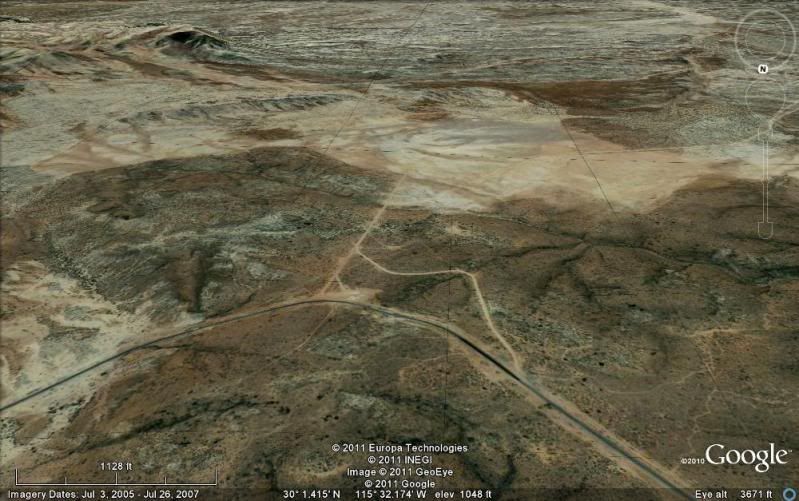
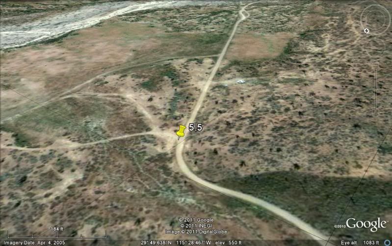
Go 17.4 miles on the good graded dirt road to a single track road going left. If passed, just ahead is a ranch house on the right and there is a
second left road that joins the first. Set odometer to '0.0'. GPS: 29°49.64', 115°28.42'.
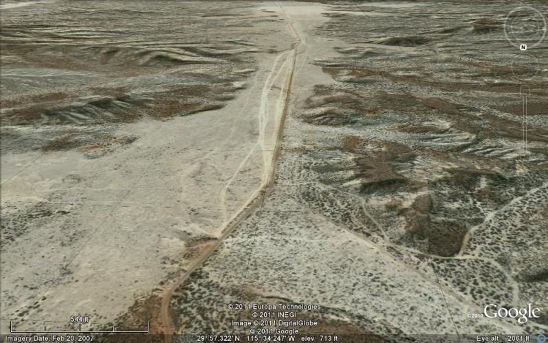
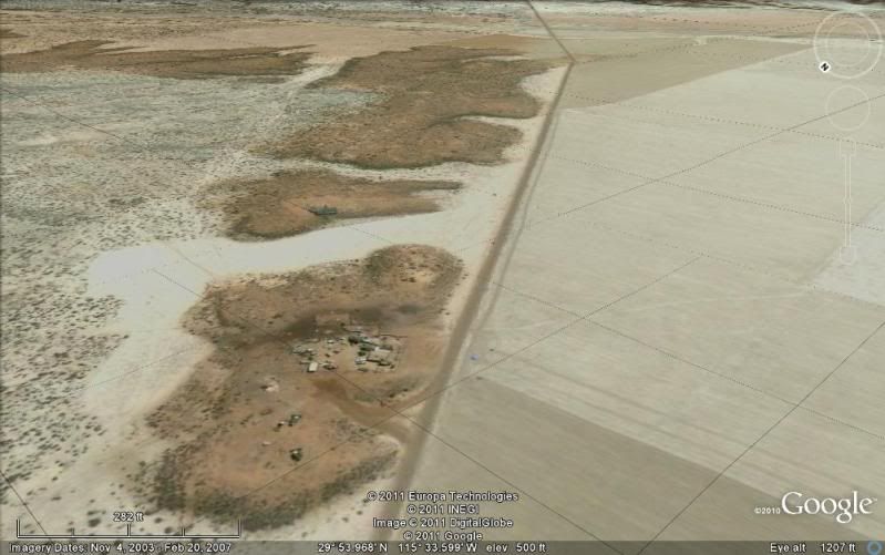
Pass ranch houses ('Malvar') and make an 'S' turn right, into Arroyo San Fernando. You soon will be reach a (possibly) closed gate at Mile 3.5. Always
re-close any gate after you pass through.
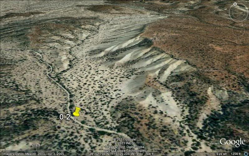
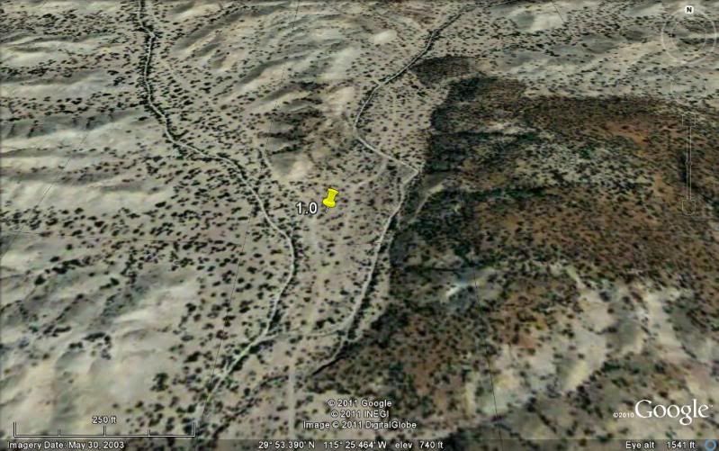
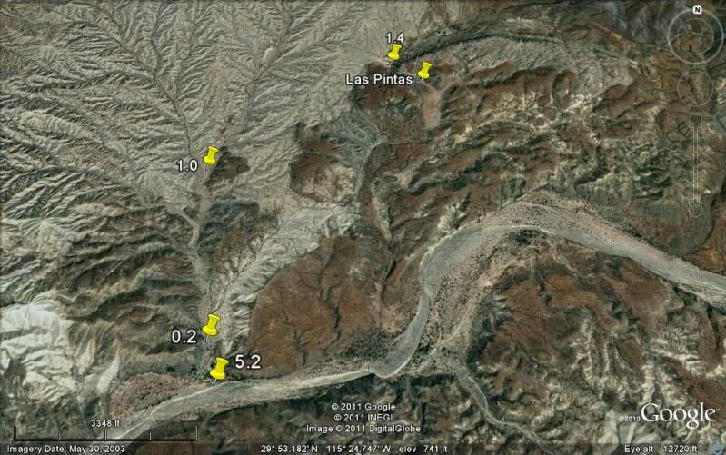
Mile 5.2, (GPS: 29°52.53', 115°25.22') turn LEFT off of Arroyo San Fernando road, and follow a small side arroyo. Brush may scratch your vehicle in
here.
Mile 5.4, (GPS: 29°52.69', 115°25.26') turn RIGHT, out of small arroyo and cross low divide to small valley.
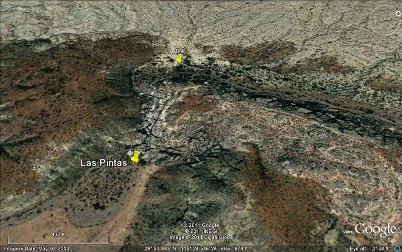
Mile 7.2 LAS PINTAS parking area. GPS: 29°53.90', 115°24.48', elev. 755'. You are 24.6 miles from Highway 1 and 39.2 miles from El Rosario's Baja
Cactus Motel and Pemex gas station, per my odometer.
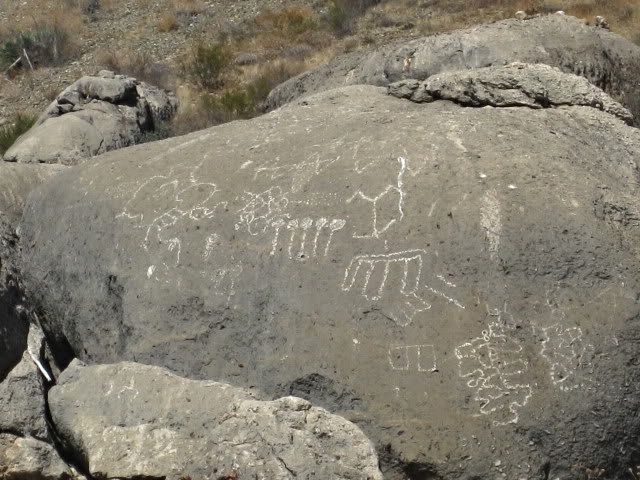
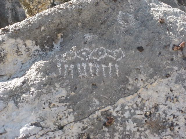
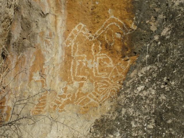
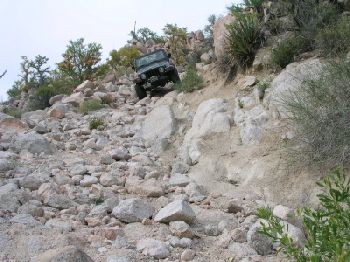
Trail to the right of the boulders is the best way to the top, then cross over to other side and try the more difficult trail to get back down.
Straight into the boulders from the parking area are tunnels, passages, and boulder shelters. ENJOY! |