Originally posted by mtgoat666
| Quote: |
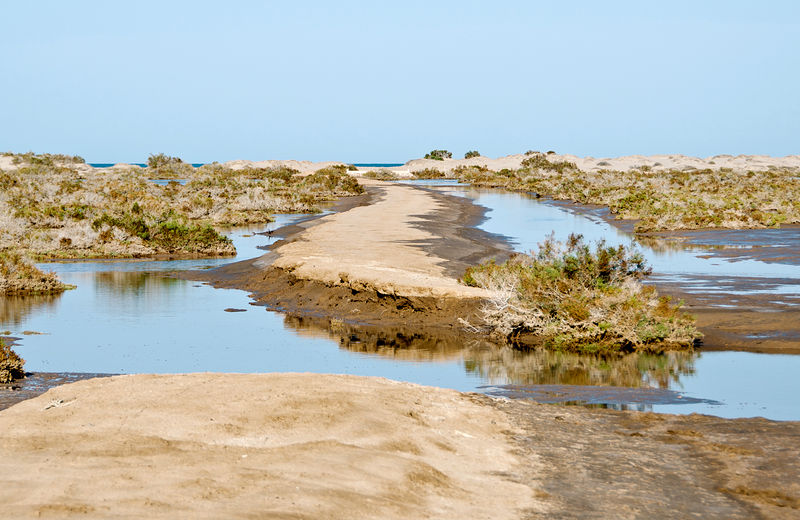
My truck just inches above sea level! (I have been in the same place over the past 35 years... and it still is 'above sea level'
The Baja Feeling!
|
glad to hear!
fyi, in past 35 years the global average sea level rise has been about about 3 inches,... perhaps not very noticeable in northern SOC where tidal
range is 15 to 20 feet,...
of course, the barrier island is dynamic geologic environment, with howling winds (typical for the area) and storm waves constantly eroding and
depositing sediment,... so perhaps not easy to visually recognize SL rise w/o some detailed elevation survey data,... just saying!
glad you enjoyed your trip! |


 )
)


 ?
?