| Pages:
1
2
3
4 |
David K
Honored Nomad
        
Posts: 65421
Registered: 8-30-2002
Location: San Diego County
Member Is Offline
Mood: Have Baja Fever
|
|
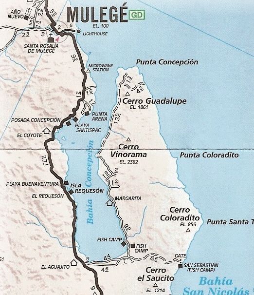
The roads are even on the Auto Club map! Over 10 years ago>>>
|
|
|
sd2hi
Junior Nomad

Posts: 54
Registered: 8-27-2010
Member Is Offline
Mood: ready for action!
|
|
You guys are awesome! Thanks for all the great info :-)
|
|
|
David K
Honored Nomad
        
Posts: 65421
Registered: 8-30-2002
Location: San Diego County
Member Is Offline
Mood: Have Baja Fever
|
|
sd2hi, all we ask for in payment is a TRIP REPORT when you get back... and photos would be great too!!
Have a wonderful time!!  
|
|
|
Alm
Ultra Nomad
    
Posts: 2753
Registered: 5-10-2011
Member Is Offline
|
|
True - for most of Baja. In that particular area, scarcely populated and difficult to access, it "should be" less of a problem. I always felt the
most secure in places with no road access.
|
|
|
BigBearRider
Super Nomad
   
Posts: 1299
Registered: 4-30-2015
Location: Big Bear, Punta Chivato, and Cabo
Member Is Offline
Mood: 
|
|
David K, I have two questions that I was thinking you may be able to answer:
1. do you know of a source to get the AAA map? I have the one with the San Felipe light house on it, from 2007 or something? Unfortunately, my dog
decided to eat part of it. True story.
2. what is the significance of "microwave station" as referenced on the map, and along the road in various places Baja? I've asked some people and
never gotten an answer that makes sense to me. Is it a cell phone tower? Why are they specially identified on maps and by road signs?
Thanks!
|
|
|
bajabuddha
Banned
Posts: 4024
Registered: 4-12-2013
Location: Baja New Mexico
Member Is Offline
Mood: Always cranky unless medicated
|
|
Quote: Originally posted by Alm  |
True - for most of Baja. In that particular area, scarcely populated and difficult to access, it "should be" less of a problem. I always felt the
most secure in places with no road access. |
Sorry, but BULLPUCKEY, Alm. I've been all over the south and east bay, and if it's alone, it's gone. Pangeros are hungry, and if it's a mark, it's
taken. The Bay is barren; the fishing is hard; if you find something to make a little earning from, and you're hungry, you'll take it.
Don't take my word for it though; just go, leave it out, and see if it stays put. Yes, there's less people across, but there still are people there,
and the farther you are from 'the norm' of civilization, the more accessible you are. GO, ENJOY, just don't be stoopud. Anyone who's done Baja
knows coyotes love seclusion and stealth.
I don't have a BUCKET LIST, but I do have a F***- IT LIST a mile long!
86 - 45*
|
|
|
chuckie
Elite Nomad
     
Posts: 6082
Registered: 2-20-2012
Location: Kansas Prairies
Member Is Offline
Mood: Weary
|
|
LIKE I SAID!
|
|
|
TMW
Select Nomad
      
Posts: 10659
Registered: 9-1-2003
Location: Bakersfield, CA
Member Is Offline
|
|
BBR the microwave sites were for telephone service before they ran fiber Optics along hwy 1 and other areas a few years ago. Still used as backup.
Some may have cell antennas on them. The map ID is just a reference made by AAA and maybe other map makers. The sign with the name on the hwy is
similar to a name for a ranch and most likely helps the service people who maintain the equipment and generators.
|
|
|
David K
Honored Nomad
        
Posts: 65421
Registered: 8-30-2002
Location: San Diego County
Member Is Offline
Mood: Have Baja Fever
|
|
Quote: Originally posted by TMW  | | BBR the microwave sites were for telephone service before they ran fiber Optics along hwy 1 and other areas a few years ago. Still used as backup.
Some may have cell antennas on them. The map ID is just a reference made by AAA and maybe other map makers. The sign with the name on the hwy is
similar to a name for a ranch and most likely helps the service people who maintain the equipment and generators. |
Exactly!
Microwaves were the method to communicate distance without wires, before fiber-optics. Microwave towers follow Hwy. 1 in Baja CA Sur. A fiber optic
cable was installed along Hwy. 1 back in 2006, or thereabouts, I think it was.
As for the AAA maps... good luck finding them... maybe eBay? I will help if you want a certain area to look at. The Baja Almanac offers much more
detail and roads and trails.
The AAA map was great back in the 70's and maybe 80's, but in the following years, they would yield to upset members who got stuck or damaged their
passenger car driving on a road shown as 'graded' on the map... so they removed many of the 4x4 "poor" roads and changed several graded roads to
"poor" or unimproved roads, to make their lawyers happy!
Here are (some of) the map covers...
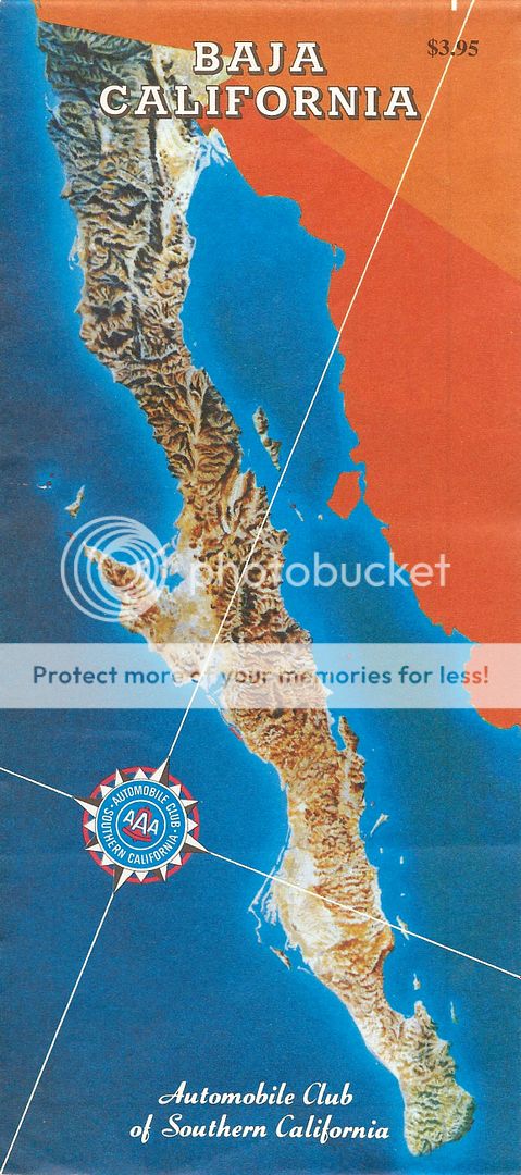
1978-2000
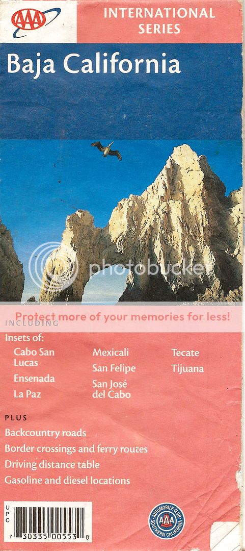
2001
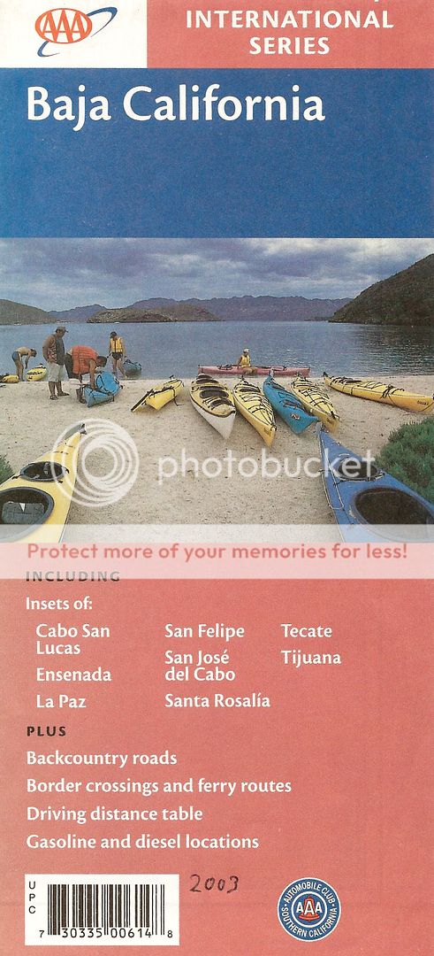
2003
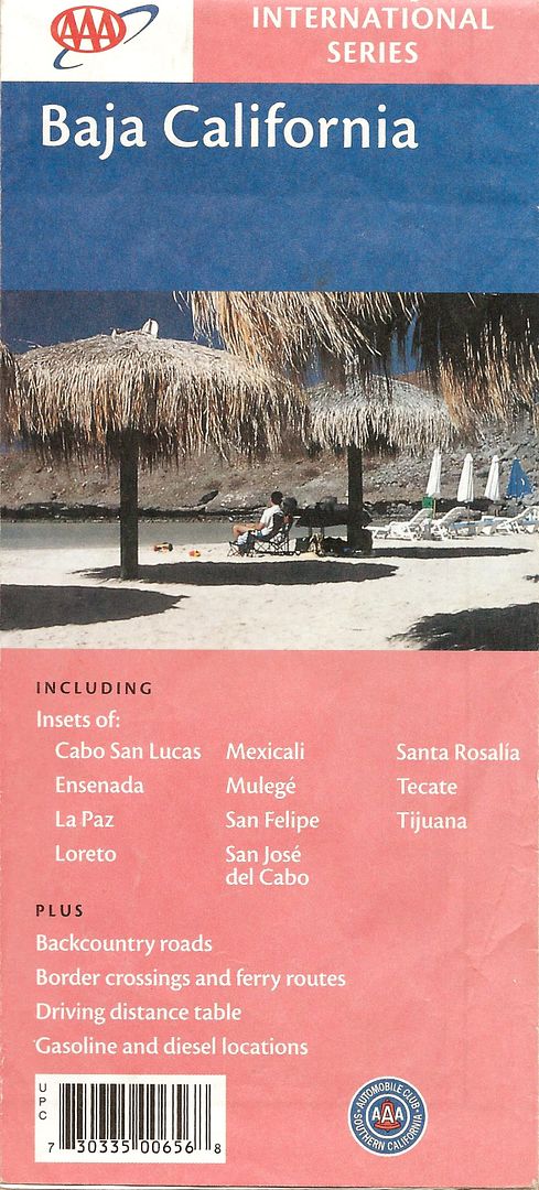
2004
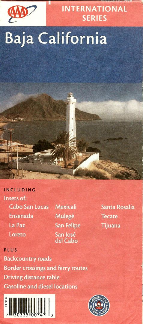
2007
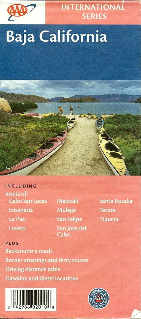
2010
*The 2010 edition was just a reprint of the 2007 edition (which combined data from 2003-2007).
|
|
|
wilderone
Ultra Nomad
    
Posts: 3894
Registered: 2-9-2004
Member Is Offline
|
|
"hiring a panguero to take me across and pick me up a few days later?"
Please, let me/us know if you do this. Very interested in logistics for this.
|
|
|
wilderone
Ultra Nomad
    
Posts: 3894
Registered: 2-9-2004
Member Is Offline
|
|
I have 3 maps with the lighthouse - I'll give you one if you'd like. U2U me.
|
|
|
AKgringo
Elite Nomad
     
Posts: 6284
Registered: 9-20-2014
Location: Anchorage, AK (no mas!)
Member Is Offline
Mood: Retireded
|
|
I recently picked a couple of the latest version at a AAA location in Northern CA, so the maps are still around. Probably further away from the
border would be a better chance of finding them.
I think with Dave's mapping skills and interest, he should check into acquiring the right to publish updated versions with credit given to AAA, and
absolve them from responsibility for errors.
The format of the map is handy, and I would gladly pay five bucks for an updated copy every year! Wouldn't it be great to be able to make a buck, or
even just break even by collecting and verifying changes to the roads system?
Verifying changes would require longer and more frequent trips SOB, but that is a small price to pay for the service that would be provided.
If you are not living on the edge, you are taking up too much space!
"Could do better if he tried!" Report card comments from most of my grade school teachers. Sadly, still true!
|
|
|
BigBearRider
Super Nomad
   
Posts: 1299
Registered: 4-30-2015
Location: Big Bear, Punta Chivato, and Cabo
Member Is Offline
Mood: 
|
|
Thanks for the info, guys! Much appreciated!
The AAA map was the first real Baja map that I got, and I always found it to be comforting for some reason. I like the way it looks.
I'll check out the Baja Almanac as well.
[Edited on 8-20-2015 by BigBearRider]
|
|
|
TMW
Select Nomad
      
Posts: 10659
Registered: 9-1-2003
Location: Bakersfield, CA
Member Is Offline
|
|
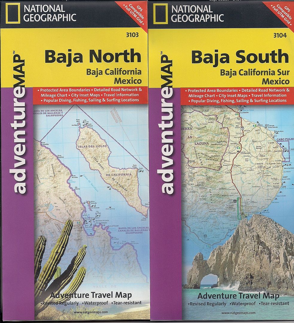
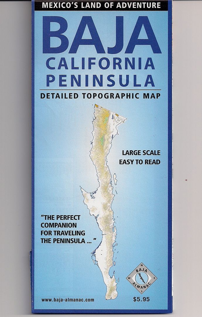
National Geographic has two maps out one for Baja North and one for Baja South. Also the guy that did the Almanac put out a map similar to the AAA map
but with more detail and it shows the microwave towers which the Nat. Geo. map doesn't.
|
|
|
David K
Honored Nomad
        
Posts: 65421
Registered: 8-30-2002
Location: San Diego County
Member Is Offline
Mood: Have Baja Fever
|
|
There's a chance that Discover Baja Travel Club has a supply of the Baja Almanac folding map (2003)... ??
Baja Bound has the 2009 Baja CA Almanacs (last I heard)...
I would be happy to provide updated parts of the AAA map, as best I can. Mostly more paved roads than the 2003-2010 editions show. The Corridor 2000
and Libramiento Mexicali are the two 'new' roads in the last editions of the AAA map.
|
|
|
ncampion
Super Nomad
   
Posts: 1238
Registered: 4-15-2006
Location: Loreto
Member Is Offline
Mood: Retired and Loving it
|
|
Would anyone happen to have GPS tracks of the roads out to the Conception peninsula that they would like to share? (GPX format)
Living Large in Loreto. Off-grid and happy.
|
|
|
BigBearRider
Super Nomad
   
Posts: 1299
Registered: 4-30-2015
Location: Big Bear, Punta Chivato, and Cabo
Member Is Offline
Mood: 
|
|
I got the Nat Geo maps. But, I prefer the AAA map. I searched for a long while, but was unable to find any. I did see one old one (I thinkt he
first that David K posted above) on ebay, but that was it. Thanks to wilderone, I will have a new(ish) AAA map soon.
|
|
|
SFandH
Elite Nomad
     
Posts: 7439
Registered: 8-5-2011
Member Is Offline
|
|
I have the 2003 AAA map. I'll trade it for a cold 6 pack of Tecate Lite. To find me just go to Bahia Concepcion this winter and ask every 60 something
gringo guy you see if he's the AAA map for 6 pack guy. You also need to bring your refreshment of choice and sit around and drink it with me while I
drink the 6 pack.
|
|
|
bajabuddha
Banned
Posts: 4024
Registered: 4-12-2013
Location: Baja New Mexico
Member Is Offline
Mood: Always cranky unless medicated
|
|
Are you ya-hoos going to go out and drive the gawdamned road, or just read about it and watch it go by on your GP-friggin'-S as you 'map' your way
down? IT'S A ROAD, ffs.... get on it, and get to it.
The New Baja Techno-Geek Trail Rider Club. Does your Tacoma 4x4 Jacked-Up auto-parallel park??
OOh, is there internet access out there??? Any sat-up-links? Can we get HughesNet from the mine????
oy, ve. 
I don't have a BUCKET LIST, but I do have a F***- IT LIST a mile long!
86 - 45*
|
|
|
David K
Honored Nomad
        
Posts: 65421
Registered: 8-30-2002
Location: San Diego County
Member Is Offline
Mood: Have Baja Fever
|
|
Quote: Originally posted by bajabuddha  | Are you ya-hoos going to go out and drive the gawdamned road, or just read about it and watch it go by on your GP-friggin'-S as you 'map' your way
down? IT'S A ROAD, ffs.... get on it, and get to it.
The New Baja Techno-Geek Trail Rider Club. Does your Tacoma 4x4 Jacked-Up auto-parallel park??
OOh, is there internet access out there??? Any sat-up-links? Can we get HughesNet from the mine????
oy, ve.  |
I agree!!! 
|
|
|
| Pages:
1
2
3
4 |

