| Pages:
1
2 |
BajaBlanca
Select Nomad
      
Posts: 13246
Registered: 10-28-2008
Location: La Bocana, BCS
Member Is Offline
|
|
You are going to love, I think, the remoteness of the Pacific side! From Bahia Asuncion, be sure to head for La Bocana - remote incredible empty
beaches the whole way!
We also have a small hotel in La Bocana or you can park your vehicle and stay right in front - since ours is the last house, it is quiet sitting in
front of the vast Pacific. Be sure to look for Joaquin and he owns the Baja Cactus restaurant which ONLY opens with a prior reservation. It is a
lifetime experience to be there! Be sure to have a margarita and lobster at the Cabanyas Restaurant (and if you are a fisherman, staying there, you
cross a patch of sand and jump into your panga!!)
Since you are exploring so much, maybe you should write the next book!
Welcome to BajaNomad. Please be sure to post pics of your adventures.
|
|
|
David K
Honored Nomad
        
Posts: 65421
Registered: 8-30-2002
Location: San Diego County
Member Is Offline
Mood: Have Baja Fever
|
|
Quote: Originally posted by aburruss  | Also.. Get the Avenza Maps app, and load in the Benchmark Maps Baja Atlas. Will allow you to track your location overlaid on their maps. Super
resource for exploring when you don't know where you going.. Is there a road? Yep! Nope! Figure it out!... Sometimes it'll get you close, and then
you find something worth exploring down the road where their road or path ends! But if nothing else, it'll keep you on track with where you're trying
to go.
 |
That was such a pretty beach, where the road touches it on you screenshot map! I camped there one night. Yes, the Avenza App for the Baja Road Atlas
is great... uses satellites to locate you in real time. No cell service needed.

|
|
|
David K
Honored Nomad
        
Posts: 65421
Registered: 8-30-2002
Location: San Diego County
Member Is Offline
Mood: Have Baja Fever
|
|
Quote: Originally posted by BeachSeeker  | Thank you everyone for the information! I have spent no less than 20 hours just looking through trip reports and piecing together information on
satellite and topo maps. This is nothing new. We have explored the entire East Cape like this. As well as much of the Pacific side of Costa Rica.
[B]Sheri & AKGringo - [/B] Bahia Asuncion and that whole area are on the list. However, the Sea of Cortez is more of a draw for use, with white
sand and warm water. When we do go, we will definitely come visit you Sheri and stay at the La Bufadora Inn. Maybe that is the place to go in the
hottest months when the Golfo is too hot.
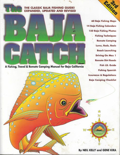
Speaking of books, is there anything like "The Baja Catch", but updated? I think the last one was published in 1997. |
This is the 1997 edition...
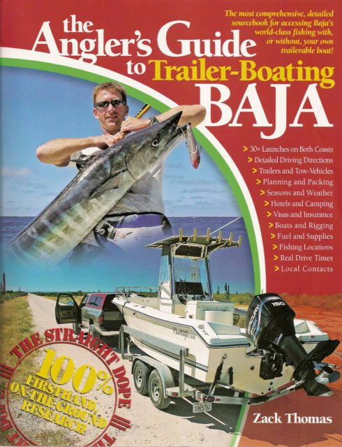
In 2008, this author joined Baja Nomad and showed us his new book, it has some fishing in it, but is more about launching your boat:
Smaller books about fishing in Baja include:
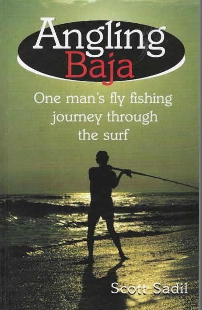 (1996) (1996)
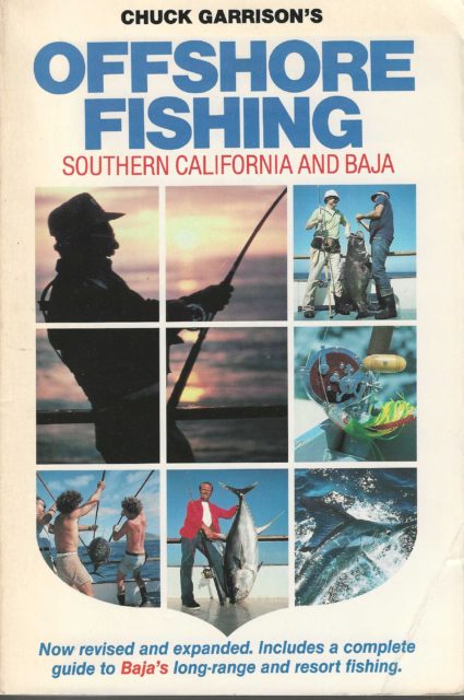 (1981) (1981)
and my favorite, from 1979:

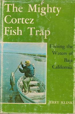 (1974) (1974)
Then the classics from Ray Cannon:
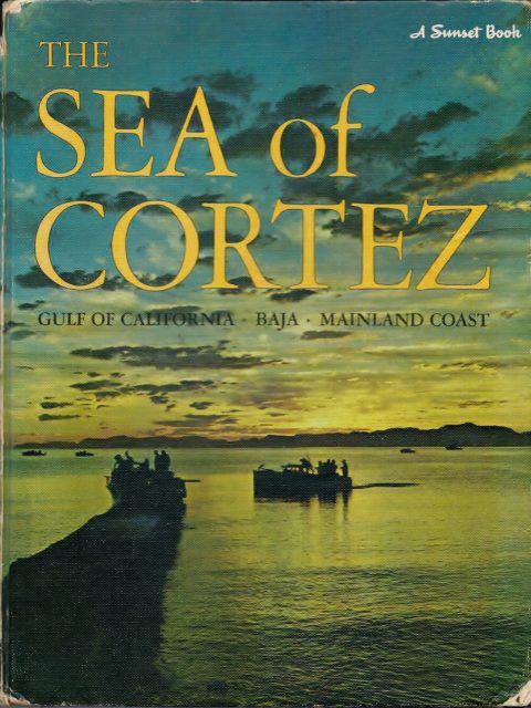 (1966) (1966)
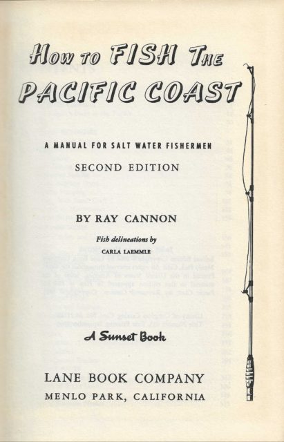 (1964) (1964)
|
|
|
wilderone
Ultra Nomad
    
Posts: 3894
Registered: 2-9-2004
Member Is Offline
|
|
How much time do you have? Are you camping? Which port of entry? How far south are you going? What time of year? IMO, an updated book on popular
beaches of Baja California is not going to tell you what you want to know. The research you're doing will all come together and you'll learn all the
secret places that aren't recommended in a book. Baja Catch does show the shoreline topo and species which is helpful and doesn't change except for
over-fished spots and seasons. Bring a boogy board and enjoy the Pacific side. El Tomatal, Laguna Manuela, Laguna San Ignacio. Worthy of exploration
and experiencing the diversity of Baja California's 2,000 mi of coastline.
|
|
|
4x4abc
Ultra Nomad
    
Posts: 4454
Registered: 4-24-2009
Location: La Paz, BCS
Member Is Offline
Mood: happy - always
|
|
the fact that Avanza has that Benchmark map as a scan with limited resolution (notice the fuzziness in David's image above) makes it inferior to the
digital pdf version of the INEGI maps on GaiaGPS
besides, GaiaGPS is a much easier to use app than Avenza (I am using both)
same for their desktop versions - GaiaGPS is so much easier to use.
Harald Pietschmann
|
|
|
David K
Honored Nomad
        
Posts: 65421
Registered: 8-30-2002
Location: San Diego County
Member Is Offline
Mood: Have Baja Fever
|
|
It was aburruss' image, a close up screenshot. The thin line for the unclassified road is quite sharp, not fuzzy. For $19.99, it is really nice to
know where you are in Baja with a satellite locating you on the map. No reason not to have other maps, but bang-for-buck, Avenza is sweet and the road
data is new, for 2021. Hurricane Kay in Sept. 2022 did quite a number on many roads from L.A. Bay south.
|
|
|
4x4abc
Ultra Nomad
    
Posts: 4454
Registered: 4-24-2009
Location: La Paz, BCS
Member Is Offline
Mood: happy - always
|
|
Quote: Originally posted by David K  | | It was aburruss' image, a close up screenshot. The thin line for the unclassified road is quite sharp, not fuzzy. For $19.99, it is really nice to
know where you are in Baja with a satellite locating you on the map. No reason not to have other maps, but bang-for-buck, Avenza is sweet and the road
data is new, for 2021. Hurricane Kay in Sept. 2022 did quite a number on many roads from L.A. Bay south. |
I pulled that image on both my Avenza and GaiaGPS on my phone. Avenza fuzzy - Gaia crystal clear
Avenza:

GaiaGPS

Harald Pietschmann
|
|
|
David K
Honored Nomad
        
Posts: 65421
Registered: 8-30-2002
Location: San Diego County
Member Is Offline
Mood: Have Baja Fever
|
|
Excellent... but no roads shown, if that is the same place. Your Gaia gps is definitely better, especially for backpacking when you need that close
look and the contour lines.
How much is it?
|
|
|
4x4abc
Ultra Nomad
    
Posts: 4454
Registered: 4-24-2009
Location: La Paz, BCS
Member Is Offline
Mood: happy - always
|
|
Quote: Originally posted by David K  | Excellent... but no roads shown, if that is the same place. Your Gaia gps is definitely better, especially for backpacking when you need that close
look and the contour lines.
How much is it? |
I picked the same screen shot you were showing
That is the INEGI map on GaiaGPS (One of the map choices with subscription)
I think, the subscription was $69
Harald Pietschmann
|
|
|
| Pages:
1
2 |

