Mr. Bills
Nomad
 
Posts: 189
Registered: 9-10-2019
Location: Area Code 530
Member Is Offline
|
|
Want To Buy: Automobile Club of Sourthern California map of Baja California - 2010 ed.
In preparation for a overlanding trip in late December 2019 from Tecate to Cabo San Lucas and back with 4 other similarly equipped 4WD vehicles, I am
seeking one "used but not abused" copy the:
Automobile Club of Southern California Baja California Map - 2010 edition.
Please contact me by U2U message or by posting to this thread if you have one to sell or one you can spare.
Thank you.
|
|
|
John M
Super Nomad
   
Posts: 1924
Registered: 9-3-2003
Location: California High Desert
Member Is Offline
|
|
will 2003/2004 work?
I will give/mail you that - older versions also if any of those would do.
no tears and no writing except a note on the back cover (not on a map portion)
John M
[Edited on 9-16-2019 by John M]
|
|
|
Mr. Bills
Nomad
 
Posts: 189
Registered: 9-10-2019
Location: Area Code 530
Member Is Offline
|
|
Quote: Originally posted by John M  | I will give/mail you that - older versions also if any of those would do.
no tears and no writing except a note on the back cover (not on a map portion)
John M
[Edited on 9-16-2019 by John M] |
I just sent you my address by U2U message. Thanks for your kind offer.
Bob
|
|
|
David K
Honored Nomad
        
Posts: 65399
Registered: 8-30-2002
Location: San Diego County
Member Is Offline
Mood: Have Baja Fever
|
|
2010 was the final edition of the Auto Club of Southern California's Baja map. It was (mostly) and updated 2003/2004 map. This was the same for the
2007 edition. 2004, 2007, & 2010 were the last three editions.
Maybe a fun post would be to show the differences between them? The last Auto Club Baja guidebook was the 2004 edition by Dave Brackney.
Dave and I became friends after we met at the Pyramid Resort Book Signing in 2007. A year later, when he was hoping to produce the next edition, the
Auto Club ended their 80-year history of making Baja maps and guides and fired the cartography staff.
Dave fell in love with Baja and when I asked him if he would like to review the new guide I was writing for Baja Bound Insurance, he jumped right in
and offered editing suggestions as a way to reconnect with the land he traveled so much in for the auto club.
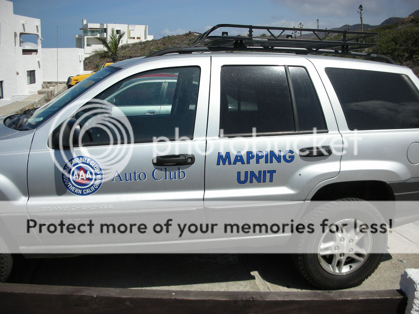
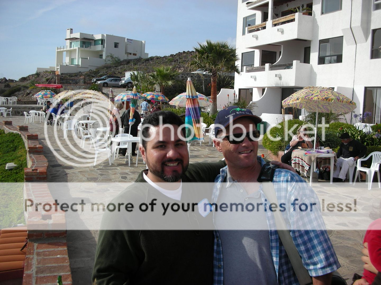
Antonio (Baja Cactus) with Dave (AAA Baja Book author) at the 2007 Pyramid Resort event.
[Edited on 10-27-2021 by David K]
|
|
|
Mr. Bills
Nomad
 
Posts: 189
Registered: 9-10-2019
Location: Area Code 530
Member Is Offline
|
|
David,
Has your guide for Baja Bound Insurance been published? I haven't found a link.
I have the link to your 2018 maps on this forum, and also the link to photos of the AAA map you sent by private message (thank you!), but since I
don't have a color printer I must go to my local photocopy place to print some.
My plan is collect and photocopy the relevant sections of the best maps (so far your 2018 maps and the AAA map that John M offered to send, with a
copy of the '98 Baja Almanac as background) then make my own spiral bound map book so I can make notes as we progress.
I've always liked paper maps better than maps on tablets or GPS screens although I will be using GPS as well.
_________
* Note: When I refer to photocopying maps, it is for my own personal use only. I am fully aware of copyright law and what falls under the fair use
doctrine and what does not. I respect the substantial work that has been invested in these maps and will not misappropriate someone else's
intellectual property.
|
|
|
David K
Honored Nomad
        
Posts: 65399
Registered: 8-30-2002
Location: San Diego County
Member Is Offline
Mood: Have Baja Fever
|
|
Quote: Originally posted by Mr. Bills  | David,
Has your guide for Baja Bound Insurance been published? I haven't found a link.
I have the link to your 2018 maps on this forum, and also the link to photos of the AAA map you sent by private message (thank you!), but since I
don't have a color printer I must go to my local photocopy place to print some.
My plan is collect and photocopy the relevant sections of the best maps (so far your 2018 maps and the AAA map that John M offered to send, with a
copy of the '98 Baja Almanac as background) then make my own spiral bound map book so I can make notes as we progress.
I've always liked paper maps better than maps on tablets or GPS screens although I will be using GPS as well.
_________
* Note: When I refer to photocopying maps, it is for my own personal use only. I am fully aware of copyright law and what falls under the fair use
doctrine and what does not. I respect the substantial work that has been invested in these maps and will not misappropriate someone else's
intellectual property.
|
The entire road log is being organized into a professional-looking book as we speak. I am not involved with any of the publishing part and I do not
know how close the final product will look like compared to what I have made. I did share two sections of the guide here on Nomad. As you said, the
maps I made are all on the Road Conditions forum, too. The plan was for the Baja Bound Road Guide to be available before the Christmas season, this
year.
|
|
|
Mr. Bills
Nomad
 
Posts: 189
Registered: 9-10-2019
Location: Area Code 530
Member Is Offline
|
|
Quote: Originally posted by David K  |
The entire road log is being organized into a professional-looking book as we speak. I am not involved with any of the publishing part. . . . The
plan was for the Baja Bound Road Guide to be available before the Christmas season, this year. |
I'll think good thoughts and hope for the best. If its available by 12/15 I'm golden. If not, oh well.
|
|
|
David K
Honored Nomad
        
Posts: 65399
Registered: 8-30-2002
Location: San Diego County
Member Is Offline
Mood: Have Baja Fever
|
|
AAA 2010... some samples
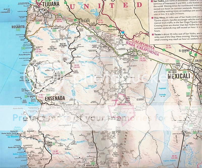
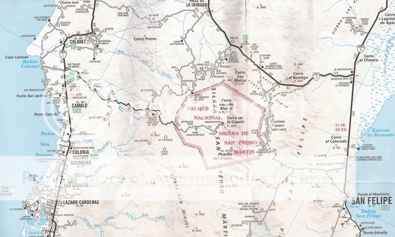
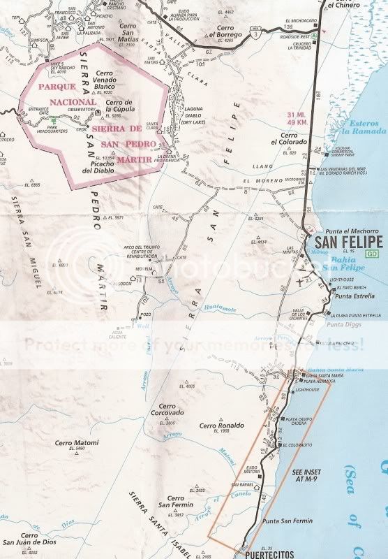
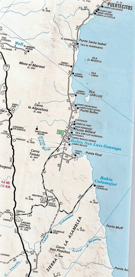
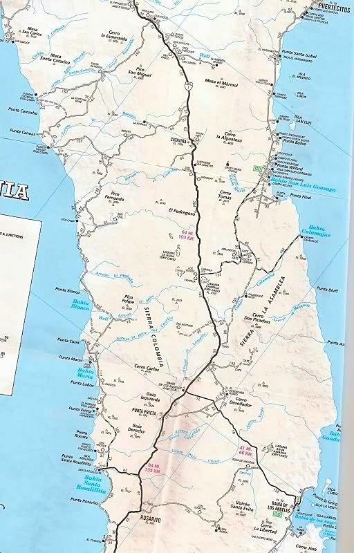
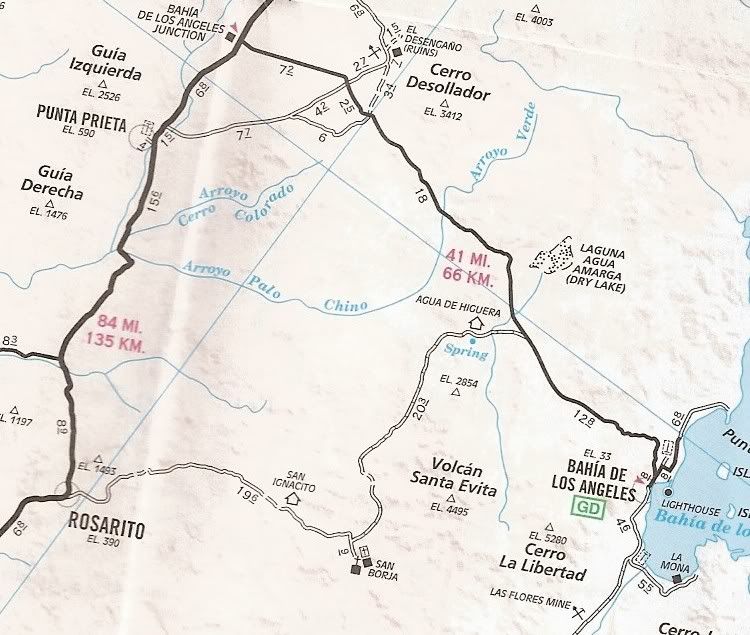
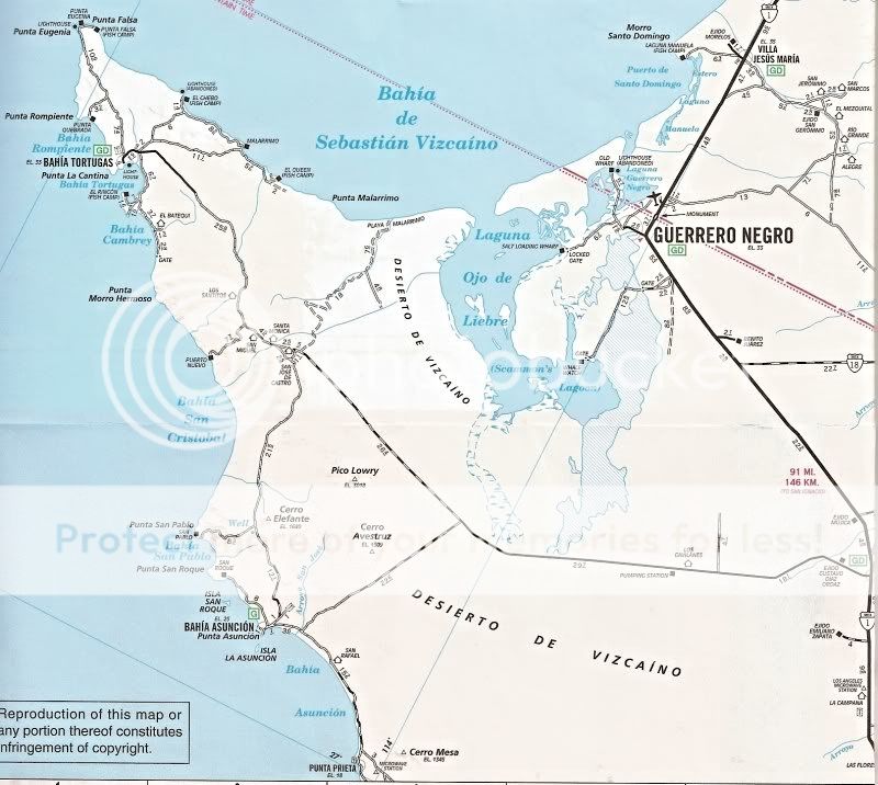
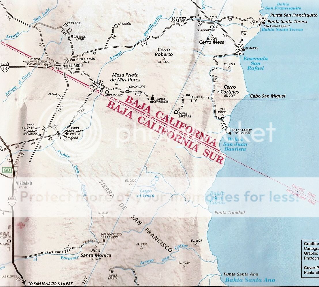
[Edited on 10-27-2021 by David K]
|
|
|
mtgoat666
Platinum Nomad
       
Posts: 20317
Registered: 9-16-2006
Location: San Diego
Member Is Offline
Mood: Hot n spicy
|
|
People tend to be nostalgic for the old AAA small-scale road map of baja, but that map is out of print, and the new road maps (nat geo and a few
Mexican publishers) are good maps. Some travel nerds will harp on small discrepancies and facts, but the small-scale maps currently in print are fine
maps.
If you want large-scale maps, you can hunt around for the old baja almanacs (out of print), get the mex govt topos, or buy one of the GPS data sets.
Woke!
Hands off!
“Por el bien de todos, primero los pobres.”
“...ask not what your country can do for you – ask what you can do for your country.” “My fellow citizens of the world: ask not what America
will do for you, but what together we can do for the freedom of man.”
Pronoun: the royal we
|
|
|
David K
Honored Nomad
        
Posts: 65399
Registered: 8-30-2002
Location: San Diego County
Member Is Offline
Mood: Have Baja Fever
|
|
Taking a quick look between the last 4 editions northern side (2003, 2004, 2007, & 2010) I can't see any changes between the 2007 and 2010 map.
2007 is when the Corredor 2000 and Libramiente de Mexicali were added.
ALSO: The paving to the observatory was extended up to the park entrance. The highway to Puertecitos was once again fully paved. The road to Santa
Rosalillita is fully paved. The western few miles to Bahia Tortugas are shown paved... both in the 2007 and 2010 maps.
The 2003 map has kayaks and people on the beach.
The 2004 map has beach palapas.
The 2007 map has the San Felipe lighthouse on the cover.
The 2010 map has a path to the beach with kayaks on each side.
Oh wait, I have these scanned! LOL:
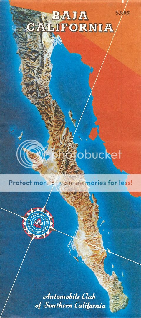
1996
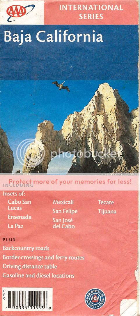
2001
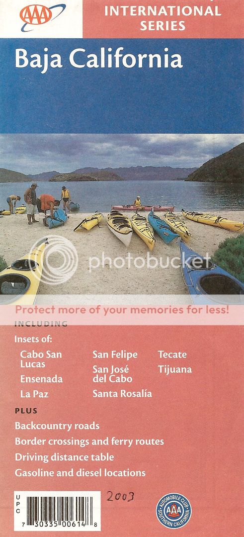
2003
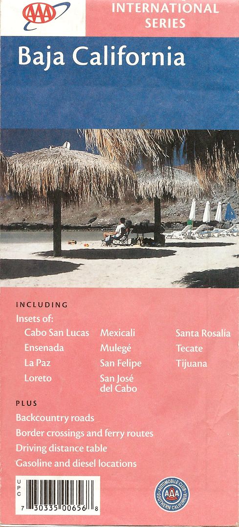
2004
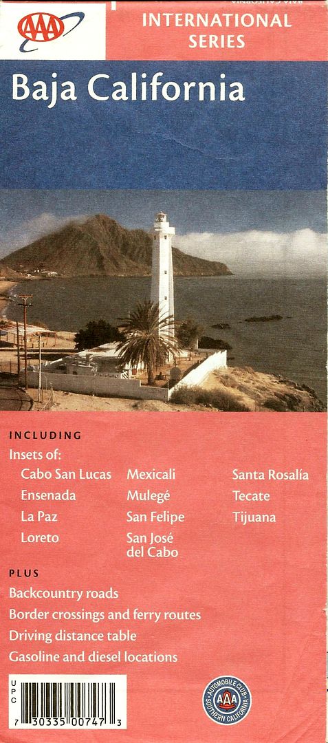
2007
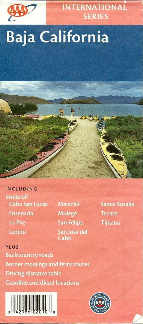
2010
|
|
|
Mr. Bills
Nomad
 
Posts: 189
Registered: 9-10-2019
Location: Area Code 530
Member Is Offline
|
|
Quote: Originally posted by mtgoat666  | People tend to be nostalgic for the old AAA small-scale road map of baja, but that map is out of print, and the new road maps (nat geo and a few
Mexican publishers) are good maps. Some travel nerds will harp on small discrepancies and facts, but the small-scale maps currently in print are fine
maps.
If you want large-scale maps, you can hunt around for the old baja almanacs (out of print), get the mex govt topos, or buy one of the GPS data sets.
|
I'm from the school that one can't have too many maps during the planning stage. I have a copy of the 1997-1998 Almanac and will hopefully soon
have a AAA Baja map as well. I also have access to David K's 2018 maps through the links in this forum.
Which maps published in Mexico are you referring to? I am aware of the Guia Roji maps for Baja Are there others?
Which are the non-AAA small scale maps currently in print that you refer to? ITMB or are there others?
Any opinions regarding E32 Cartografia digital maps? I'm a paper map guy, but could be convinced to use a digital map if there is an easy way to use
it with a tablet rather than a tiny screen gps.
One thing that I have noticed is that the more time I spend comparing and contrasting various maps before departure the more easily I recognize the
important directional signs, town names, intersections and landmarks, etc. when I see them for the first time in real life.
|
|
|
David K
Honored Nomad
        
Posts: 65399
Registered: 8-30-2002
Location: San Diego County
Member Is Offline
Mood: Have Baja Fever
|
|
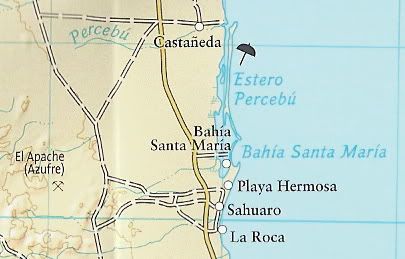
The 2008 Nat Geo pair of folding, huge scale, maps are fun to have but really not at all useful for driving, IMO. They don't show all the many dirt
roads and there are no mileages on the roads or a companion guide they go with.
Here is the area near San Felipe on it:
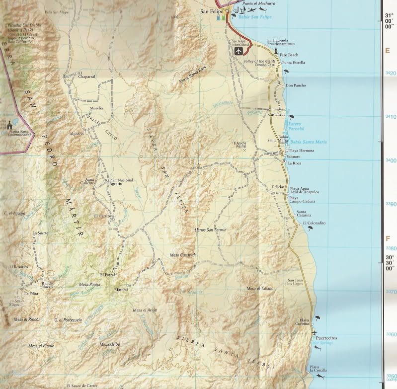
Notice they show Shell ISLAND, in front of Estero Percebu:
|
|
|
wilderone
Ultra Nomad
    
Posts: 3894
Registered: 2-9-2004
Member Is Offline
|
|
"Are there others?"
Si. Rand McNally, National Geographic, Int'l Travel Map Productions (eBay). If you have the Almanac (booklet version?), you're pretty much covered.
What is especially helpful when I'm intending to pursue a special interest, are comments from others who have been there recently (search on
Bajanomad), publications of studies - mines, rocks, archaeological, fossils, missions (David can help you there). I cut/paste specific data or
directions, plus Googlemaps with topo screenshots. I'm like you - I assemble a booklet with all pertinent info in chronological order (!) - and
include restaurant recommendations, boondocking locales. A map symbol doesn't give you real-time data - road conditions, a recent fire, practical
advice, so continue to inquire on Bajanomad. Have a wonderful trip.
|
|
|

